
Usually when I travel, alone or with Mike, I plan things in advance. At least to a degree. Things like where to go, what to see, and where to stay. For my most recent trip, although I did reserve a room in Cherokee, North Carolina for Sunday night (I could cancel up until 4:00 p.m. Sunday with no fee), that was it.
I’d thought about reserving a room for Saturday, somewhere along the BRP in Virginia. But, since I had no idea how far I’d travel that day, it didn’t seem to make sense. As it turned out, I was right.
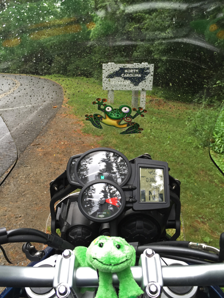
I was kind of amazed when I reached the North Carolina state line on Saturday afternoon. Especially after encountering thunderstorms and rain.
Wanna know what I found even more amazing? Well, perhaps entertaining is a better word.
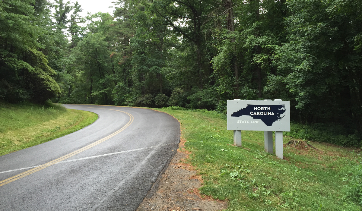
There is actually a North Carolina/Virginia or Virginia/North Carolina state line.
Check out the next pic. See the line on the road? How funny is that?
I could have and probably would have stopped sooner on Saturday, but I couldn’t get a cell phone signal. And I didn’t want to venture off of the BRP before finding a room. Few towns big enough to have decent food and lodging options are close to the BRP in that area.
Booking a room at the end of each day seemed to work well enough. Until Thursday. I’d mapped out a route that would have taken me down near Lexington, Virginia at day’s end. If I’d had any idea how much time the route would actually require, that is.
No worries, I still wasn’t on any real schedule.
I reached the Cass Scenic Railroad around 5:45 p.m. It wasn’t a planned stop, but since I was close, again, I decided I HAD to stop. Especially since I’d passed it at least three times previously.
Dark clouds had slowly been forming all afternoon. I figured I’d better don the rain gear while stopped at Cass, just in case. As it turned out, the storm hit sooner than anticipated. Storms can move fast in the mountains. Since the weather folks were predicting severe storms with damaging winds and the potential for hail, I figured I’d better stop. But there was a problem. I had no cell signal. Being familiar with that area, I knew that other than the Snowshoe ski resort, there aren’t many other lodging options. So off to Snowshoe I headed.
I parked in front of an expensive-looking lodge, under its front canopy, and tried my phone again. No dice. I ended up having to actually walk in and talk to a person — gasp! — to see if there was an affordable room on the mountain for me. Weird, right?
There was a room. Yay, me! But the point of this post is actually the lack of cell phone coverage. It’s not all that uncommon in the mountains, but you can usually find a signal at higher elevations. Especially near a population center like Snowshoe, which is pretty big. As it turns out, Snowshoe and Cass are both in the National Radio Quiet Zone.
Um, what?
According to the brochure provided to me by management upon check-in, the Snowshoe Resort is located in…
…a “National Radio Quiet Zone,” which is in place to minimize interference with our neighbors at the National Radio Astronomy Observatory. Home to the largest steerable telescope in the world, the Green Bank Telescope studies our solar system as well as distant galaxies and stars. Because of this marvel of modern science, cell phone coverage is limited in the area.
Here’s a pic of Green Bank I captured in August 2014 when Hubby and I passed through.

The National Radio Quiet Zone is more than limited cell phone coverage, though. Far more. There’s no wifi, baby monitors, microwave ovens, wireless doorbells, etc.
I stumbled upon this short documentary video about Green Bank, courtesy of The Atlantic, which I thought y’all might enjoy.
Talk about being disconnected. Here’s another interesting article on the topic.
On one hand, it sounds a bit archaic. On the other, it’s quite a peaceful place.
I’ll just have to remember to plan ahead next time I visit.
Haha, I am such an addict of my cell, and do most of our room reservations on it. We were in the same boat last fall when we were in that area! Radio silence! And I took a picture of that very same barn quilt on that trip, lol! Great trip and pics!
You were very close to Spruce Knob, the high point in WV too. Have you been there yet? It is a very interesting, tiny road with switchback after switchback. Cool ascent and decent fir sure.
Where was the highpoint in SC? Was it Caesars Head? I guess we need to bag that one since it’s so close…
Lynne, we owned a house in West Virginia for a while — we built it ourselves — and did lots of riding in that area. We were at Spruce Knob twice, but both times the access path to the top, where the tower thing/observation area is located, was closed. I forget why. So, we’ve been there, just never got to see the view.
Sassafras Mountain is the SC high point. I happened to see it on the map and figured, “Why not?” 🙂
Ah yes, I remember the house in WV, and read about you building it…duh. Well, if you are in the area again, that ride up to Spruce Knob is worth the trip.
Sassafras Mountain in SC, thanks! We live so close, there is no excuse NOT to bag that high point! 🙂
Sassafras Mountain is remote, but it’s a nice ride. Be sure to follow the road past the mountain into NC, there are some fun curves.
I think I’d enjoy a place with no cell phones or wi-fi.
Since neither of us own smart phones we rely upon that old fashioned pull-in and see if they have a room. Of course we haven’t travelled that way on the bike for years and we do reservations online before we leave for our short in-State trips. Makes it hard to be spontaneous though.
I put off getting a smart phone for the longest time, but now I’m glad I have one. It’s super helpful for route planning. I’m always looking at the weather app, even while at home (for timing of dog walks especially). And being able to choose hotels on the fly is priceless. I even used Google maps in place of the GPS, which I forgot to grab before I left. Plus, there’s the music feature. And Yelp! to find good food spots. I can’t imagine life without one now…