
One of the places I definitely wanted to visit during my trip was Breaks Interstate Park. It’s in far southwestern Virginia and actually straddles the Virginia-Kentucky border, hence the “interstate” name. I also wanted to spend some time on WV-52, because I remembered reading that it was a good road.
On Sunday morning, as I drank my coffee, I looked at my various maps — Google and paper — to figure out a route for the day. I THINK I wrote the directions, but can’t remember. I plugged it into Google maps on my phone, too. But it wasn’t a complicated set of instructions. Head southwest on WV-20 then north on US-52. North of Welch at Panther, I’d be turning left to cross the mountains. Easy, right?
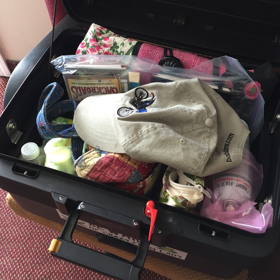
The next challenge was repacking the top case in such a way that all my stuff fit. My clothing, toiletries, shoes, and rain/cold weather gear went in the panniers (boxes that hang on the side of the bike).
I hadn’t gone far at all on WV-20 before I realized Hubby and I had ridden there previously. In fact, we’d even been on US-52 all the way to Welch. That was actually the trip — in October 2010 — where we’d heard about Breaks Interstate Park.
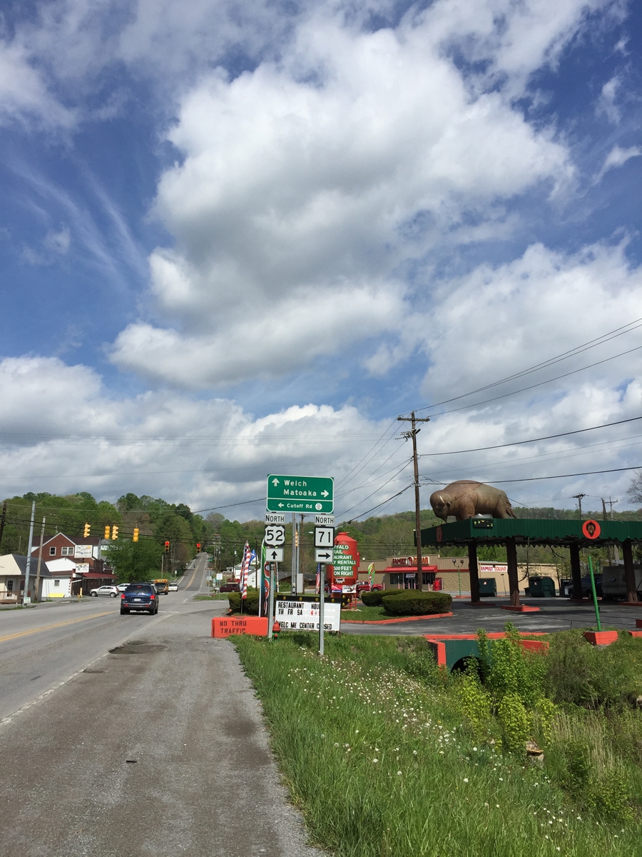
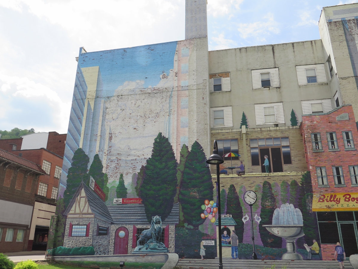
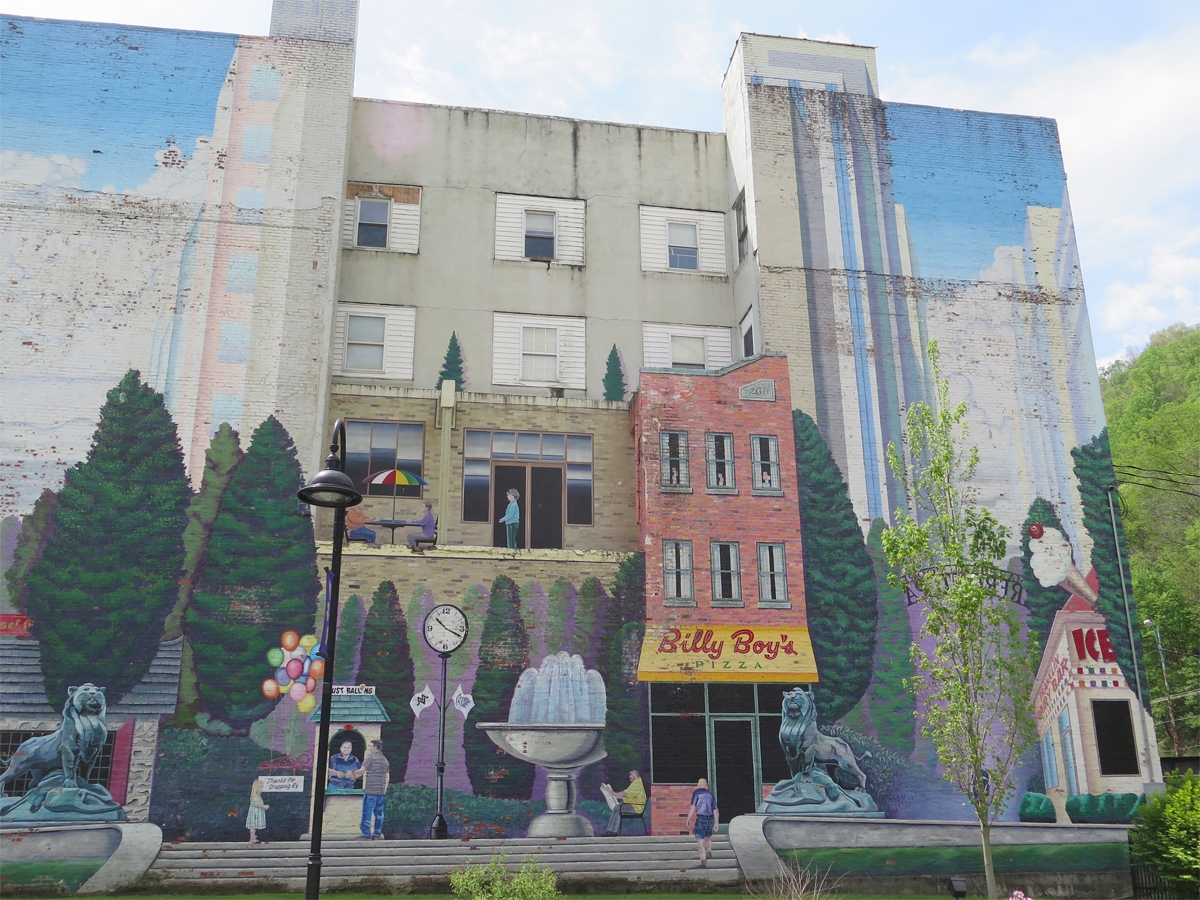
I knew we hadn’t been to the town of Welch previously. I was curious to visit, since it is the county seat and should be doing better than surrounding communities in that woefully depressed region.
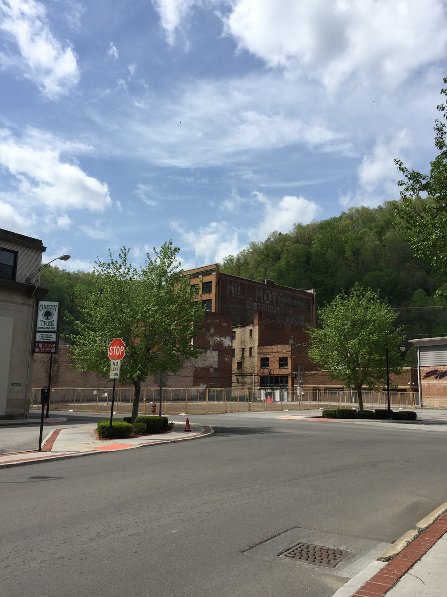
The highway did pass through several smaller towns, all of which had seen better days, but there most of the route was rural.

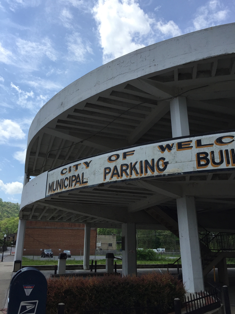
For the most part, the town of Welch looked about as I’d expected. There have been efforts at beautification, but there still appear to be lots of vacant storefronts and other buildings in town.
I did take some video along the way, which I’ll have to edit before posting.
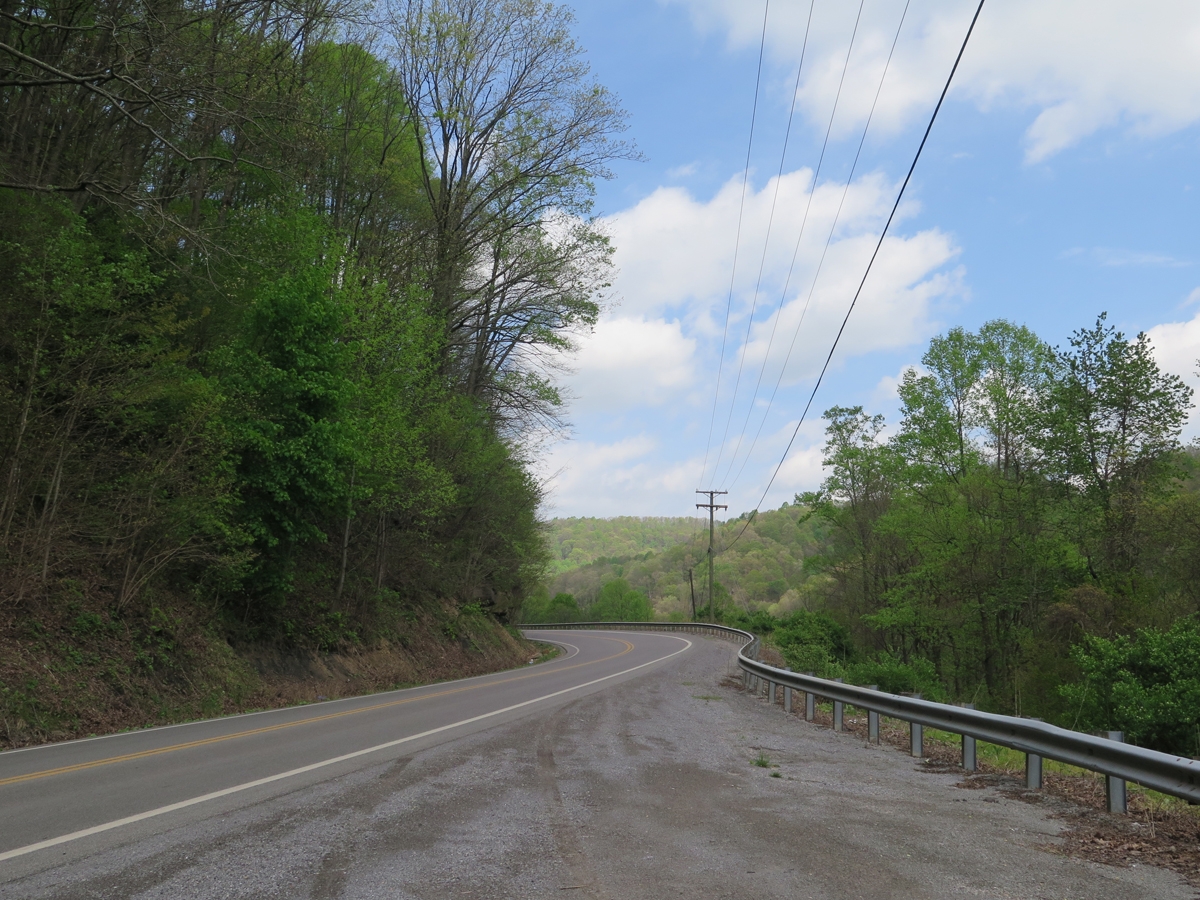
From Welch, I continued North along highway 52. I rode for quite a while before I started thinking I may have missed a turn. I pulled off to the side of the roads to check my maps and confirmed my suspicions.
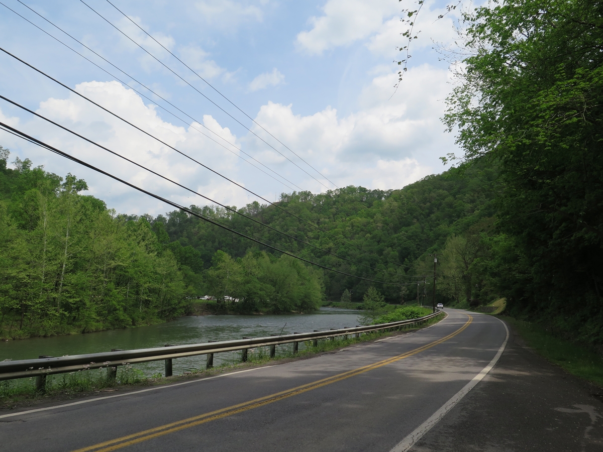
I could have doubled back along the same route, but chose a shortcut through the mountains instead.
I wasn’t at all prepared for what I saw.
The towns along the highway looked depressed, but along the back roads it often felt like I was driving through a third world country. The poverty in that area really is extreme. I must have looked like an alien to those people.
On one hand, I wanted to take pictures, to show y’all what I saw. But on the other hand, I couldn’t. I didn’t want those people thinking I was looking down on them. Gawking at their plight. Or even pitying them.
There is a great deal of natural beauty in that region, but there was little beauty to be seen in the houses, mobile homes, and other dwellings scattered along those back roads. There was nothing even remotely pretty or picturesque. Run-down shacks, some of which were still being lived in. Camping trailers older than me serving as people’s homes. Burnt-out buildings, left standing, I assume, because it takes money to tear them down. Cars and other vehicles in various states of disrepair, some no more than empty shells.
People should not live like that in America. Really.
Most of the time I was riding through that area, I had no real clue where I was, or if I was on the right roads, even. But I felt like I was headed in the right direction, so I pushed on. I was never scared or worried. I just kept going, absorbing all that I saw. It was heartbreaking.
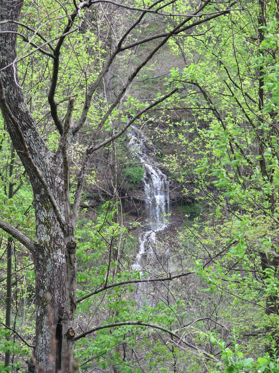
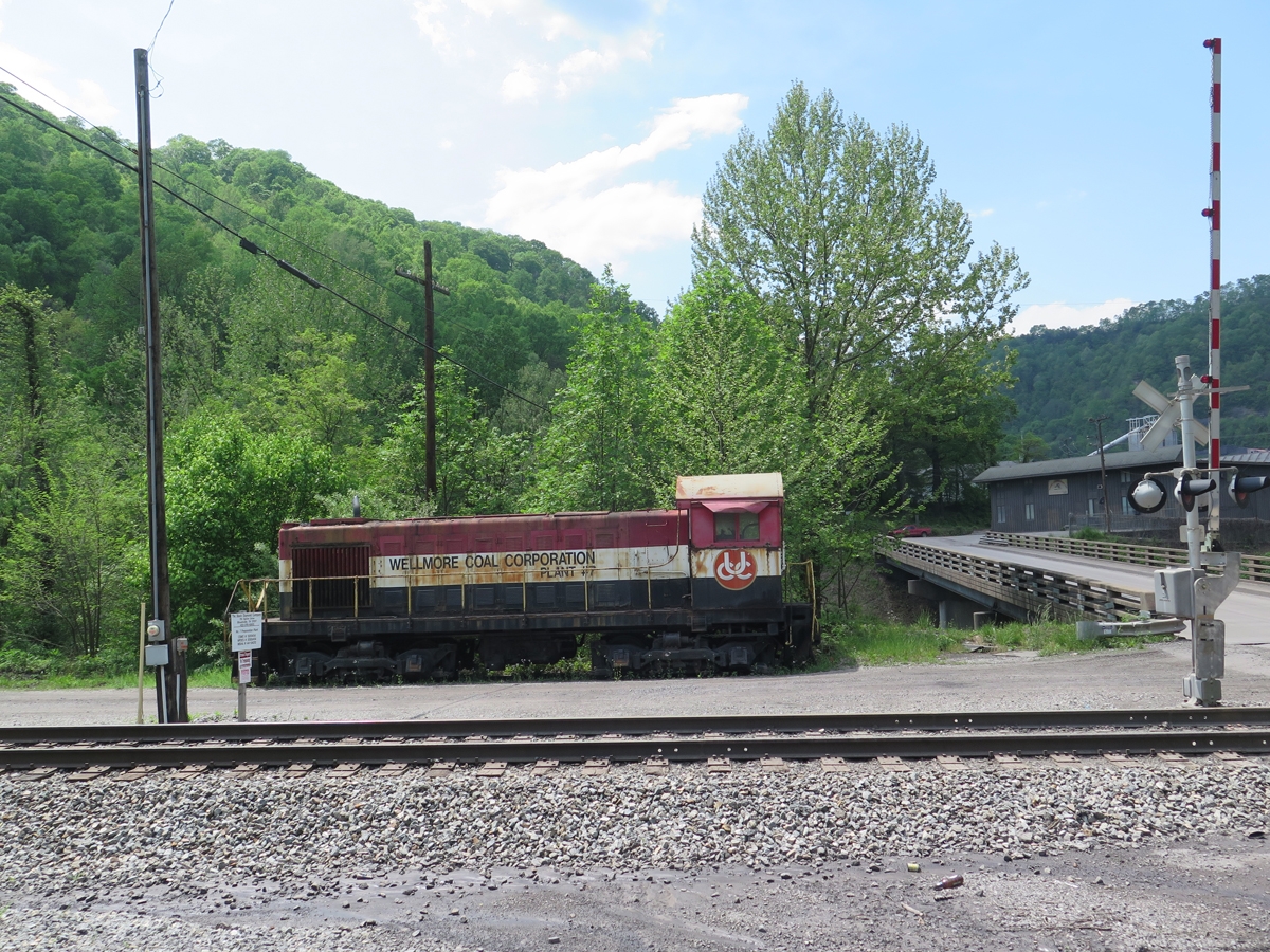
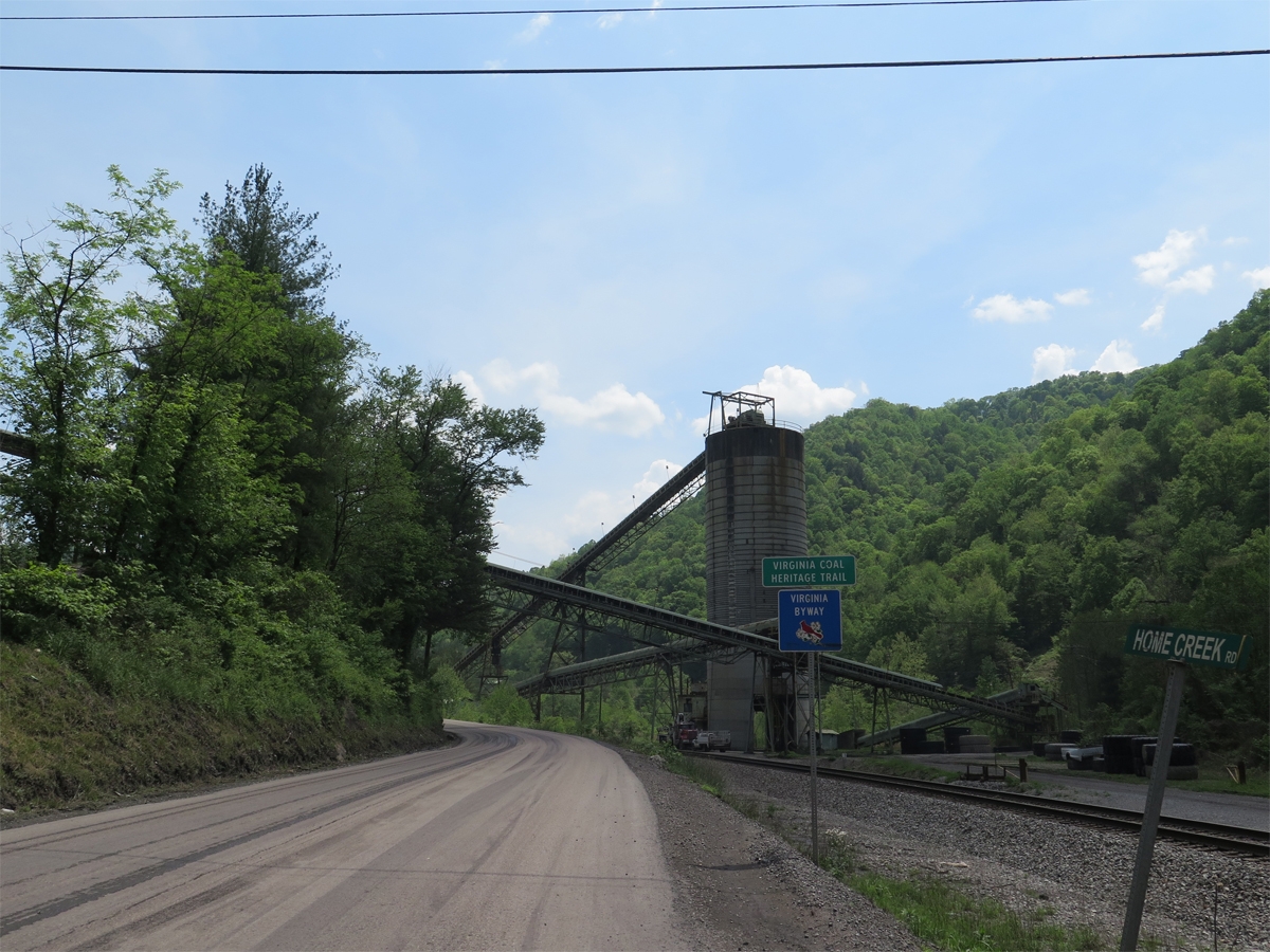
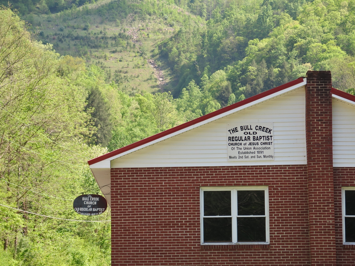
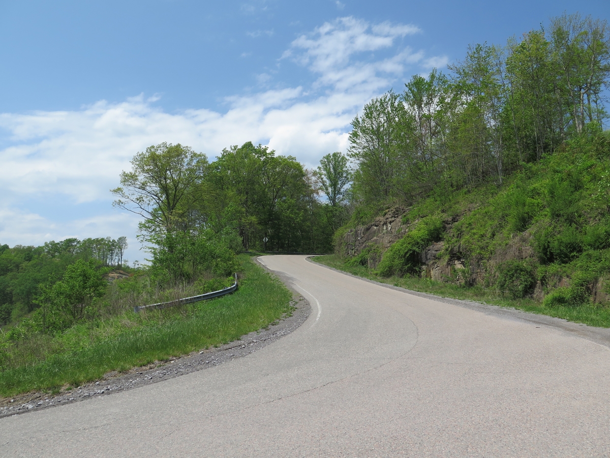
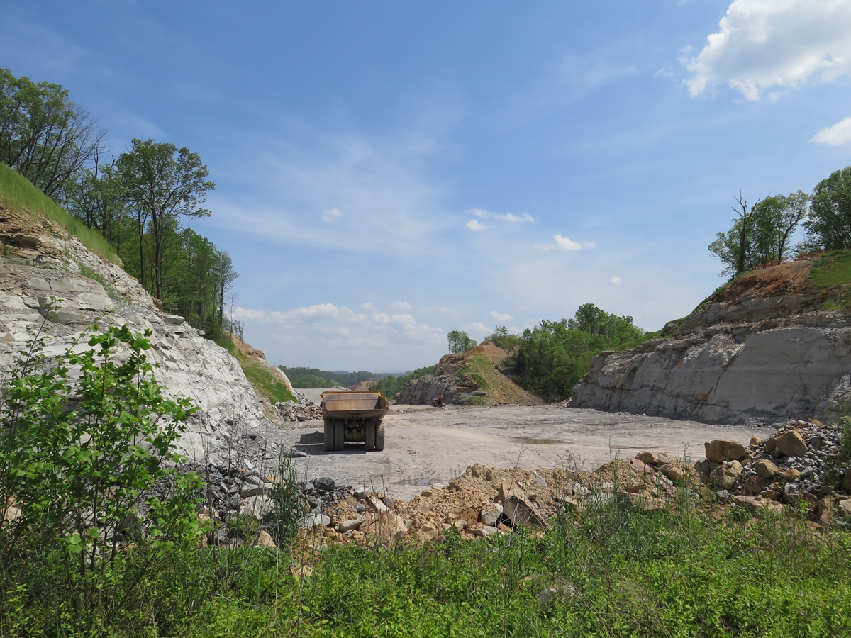
I did capture a few general pics along the way, after I’d left the residential areas behind.
One thing is for sure, I was REALLY happy to see the sign in the next photo.
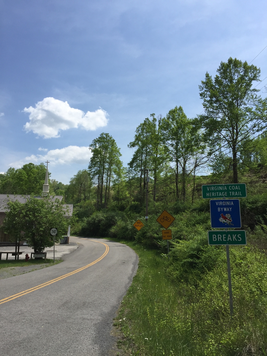
I’d found Breaks, Virginia! My gut had been right about my direction of travel.
I couldn’t find the park entrance initially, and I had no cell signal, so I headed to the closest town where I knew from that previous trip that I’d find a Hardee’s for lunch and, hopefully, a wifi connection.
I knew I couldn’t linger long. It was actually late-afternoon and I thought I had many more miles to cover before I would find any decent motel rooms. I thought the lodge and other concessions in the park weren’t open. Imagine my delight when I reached the park and discovered the lodge and restaurant open for the weekend.
Honestly, I was pooped. It had been a long, emotionally draining day. It had been hot that day, too. I was sooooo happy not to have to spend a few more hours in the saddle.
I’ll tell you about the park in my next post.
Travel can indeed broaden the mind, even to the less pleasant things, making you appreciate your life better sometimes.
Most definitely.
It is sad to see the poverty level that some folks endure. I am sure there are areas in every state like that along many back roads.
B, I agree that one can probably encounter small pockets of poverty in many places. But in Appalachia, it is entire counties and regions. I mentioned WV because that was my shortcut, but SW Virginia and Eastern Kentucky have also been hit really hard. It is hard to imagine just how bad it really is, and how widespread.
Kathy, your sentiments about Appalachia are exactly how I feel whenever I am there. So beautiful but so heartbreaking.
Glad you found your destination and I look forward to your next post!