Breaks Interstate Park

Back in October 2010 — the last trip with our old cruisers! — when Hubby and I rode to Kentucky, we passed very close to Breaks Interstate Park (BIP). In fact, we ate lunch at the Hardee’s in Grundy mentioned in my last post. The morning coffee club (what we call the groups of older men that hang out to chat over coffee in fast food restaurants) was still there, and one of the men started talking to us about our ride, where we were from, headed to, etc. And he asked if we were going into Breaks.

Neither of us had ever heard of it. I can’t remember if the guy elaborated or not. But as we made our way into Kentucky, I kept seeing signs for the park. Naturally, that made me wonder. After I looked it up, I was kicking myself for not having checked it out. Since then, I’ve wanted to return. Mike’s kind of been noncommittal about it. He’d rather daydream about long, endurance rides than worry about revisiting areas just to see something we’d missed.

I forgot to add this pic to my last post.

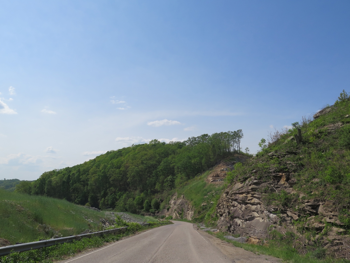
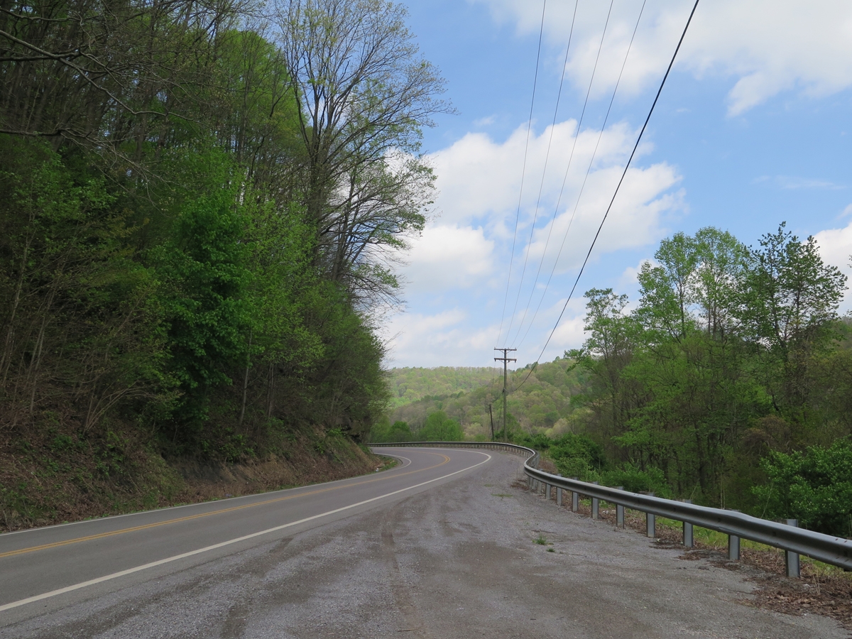
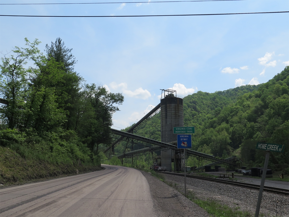
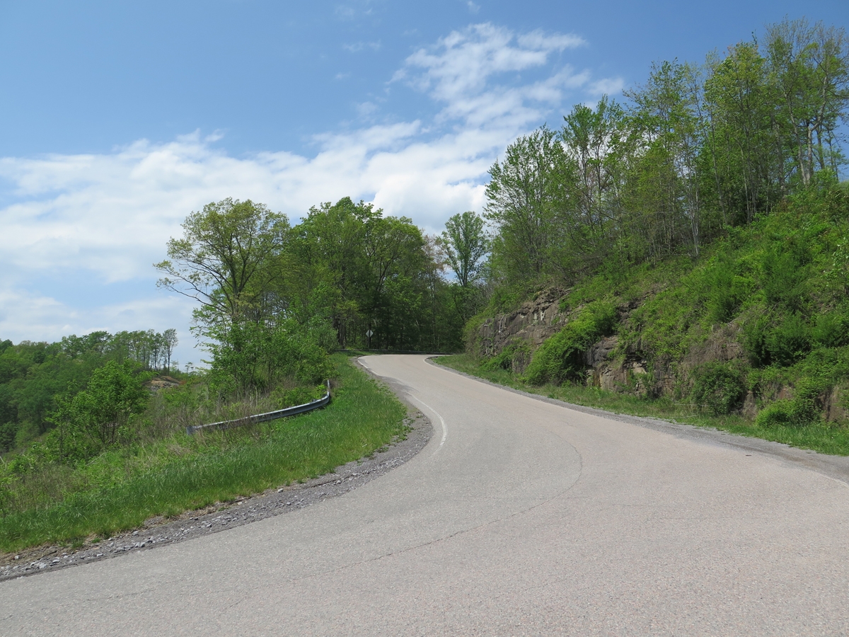
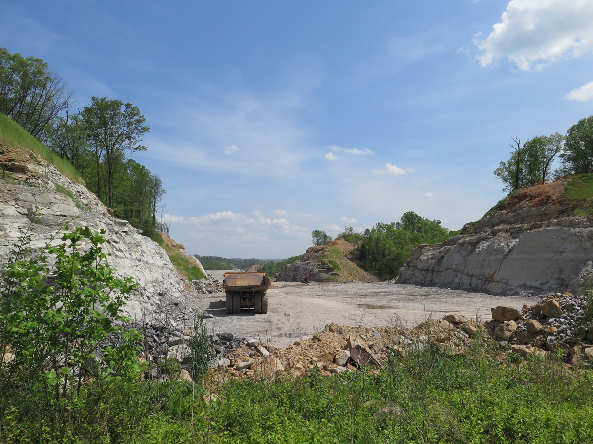
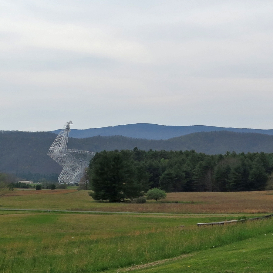
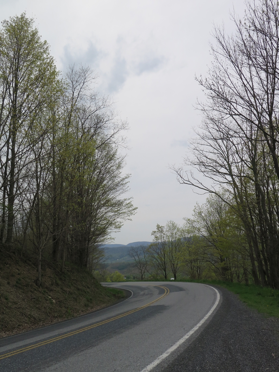
The more I think about this road and whether or not I stumbled across a highway project or surface mining operation, I think it must be the latter. A highway here just wouldn’t make sense.

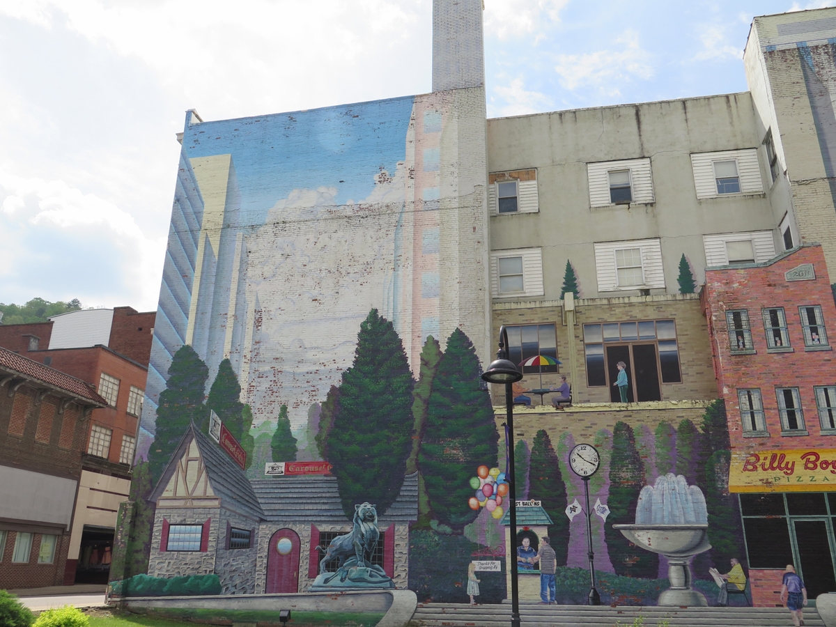
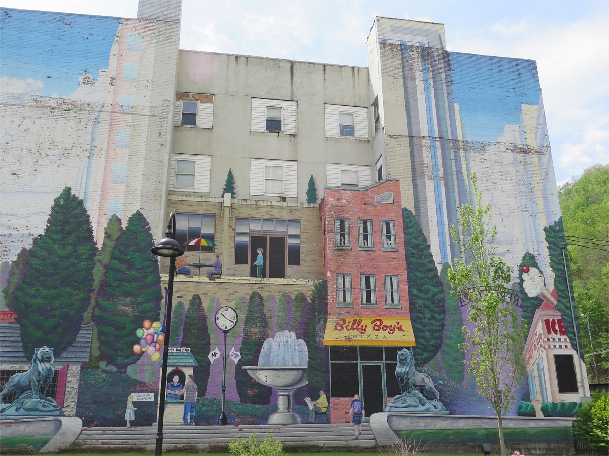
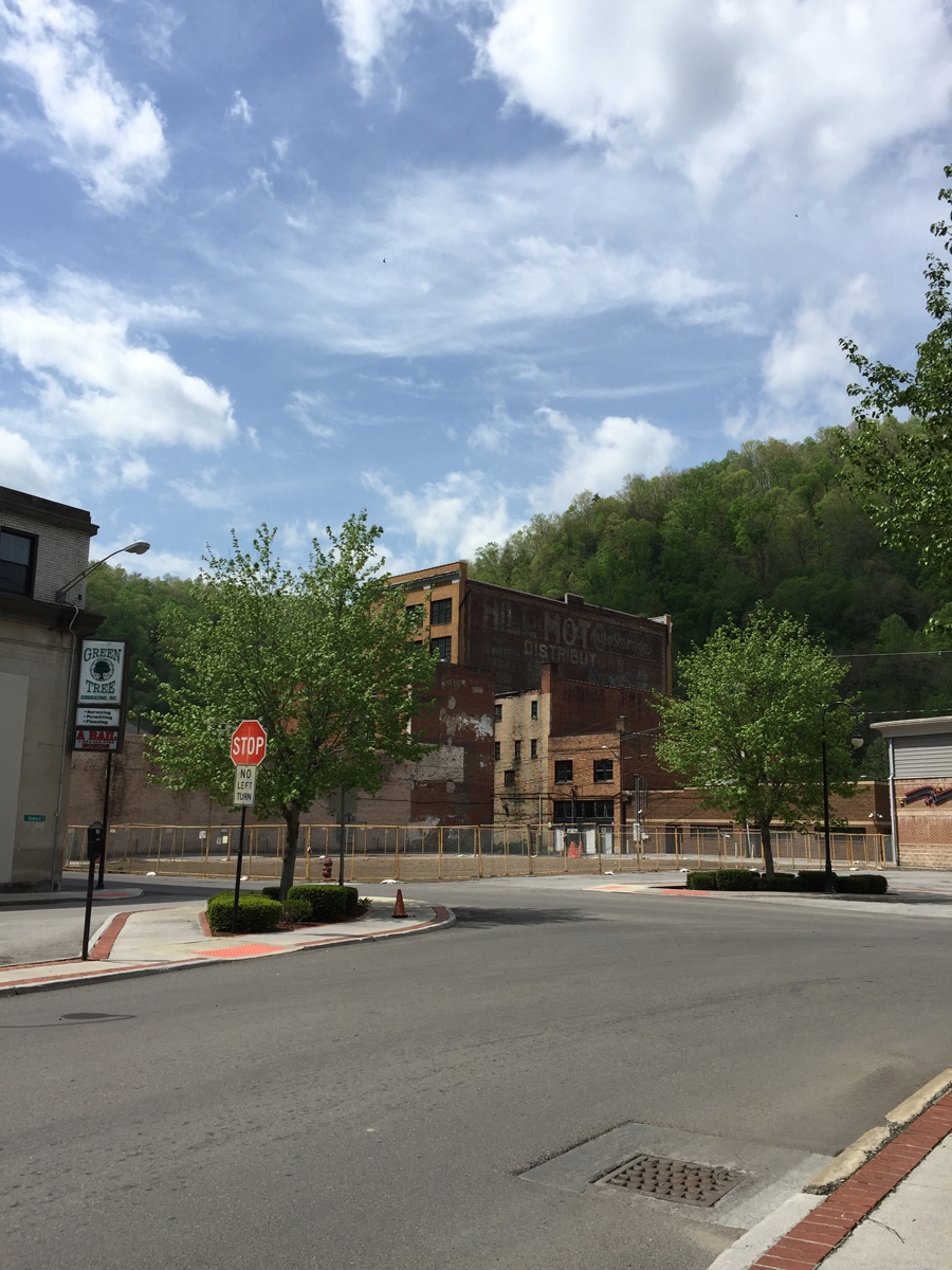
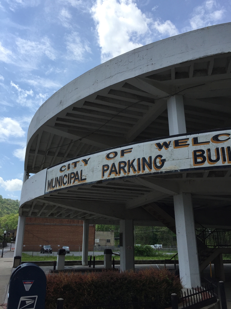
Surface mining will make West Virginia uninhabitable one day. If you’re not familiar with that practice, check out the Coal River Mountain Watch website. Watch this documentary on YouTube. It’s not just one mountain. And it isn’t just West Virginia. Do a Google Maps search for Breaks, Virginia. Turn on satellite view.

See all the brown spots to the north and west of Breaks? Those are mountains that have already been decimated. Zoom in and see for yourself. It’s awful.

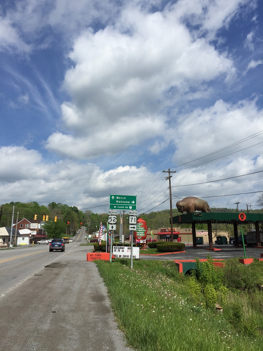
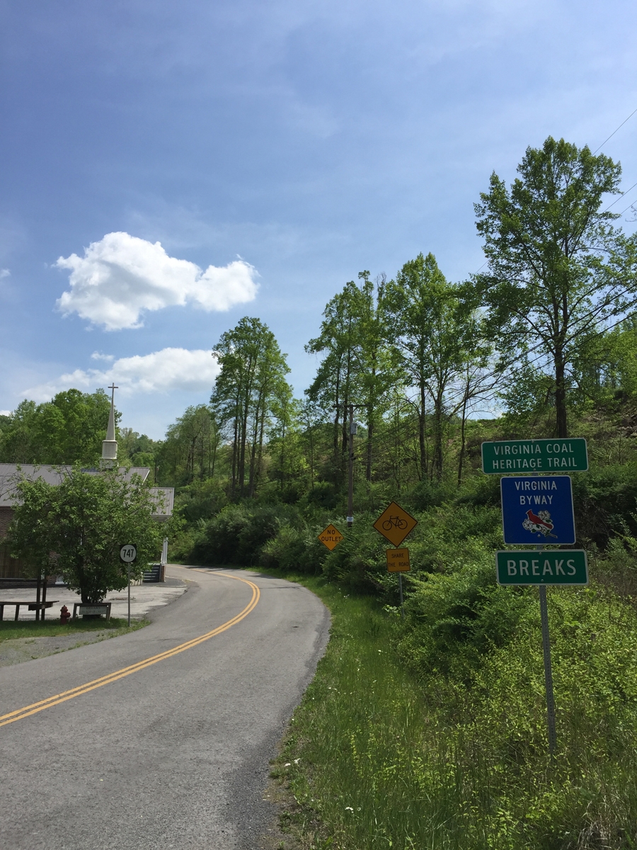
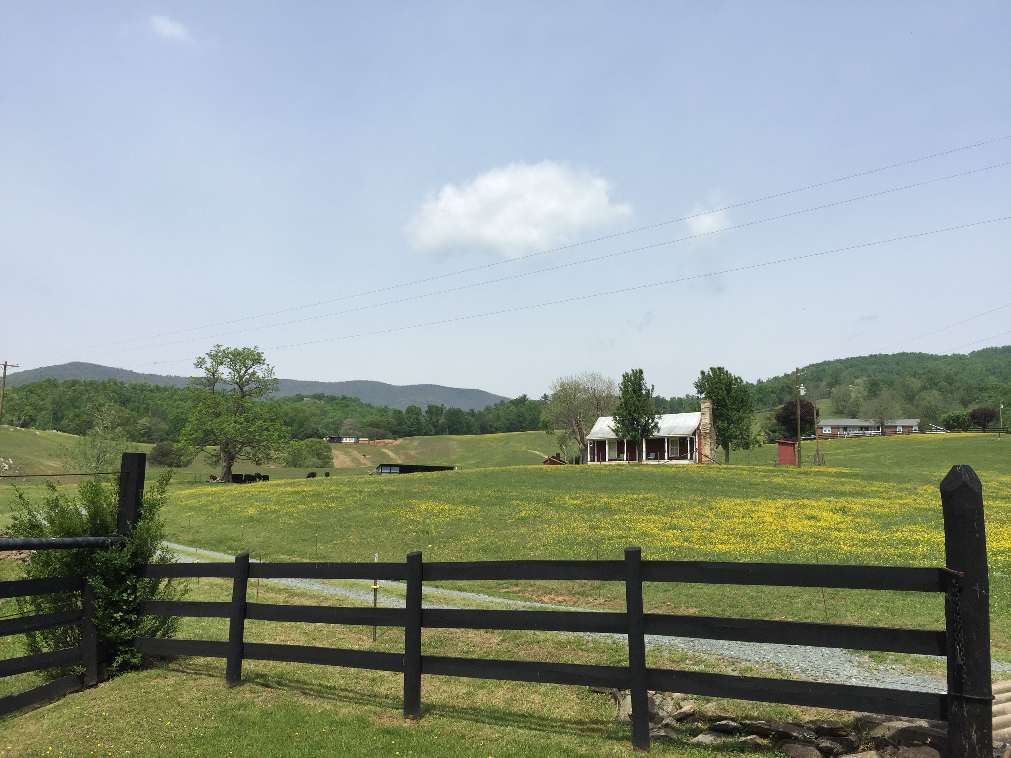
Originally, I’d thought about riding into Kentucky after leaving Breaks. But after seeing the extreme poverty in West Virginia, and what it’s done to the people and communities there, I just could NOT bear to ride into Kentucky and see what it’s done to the land. It was just too depressing. Remember, I was on vacation trying to de-stress.

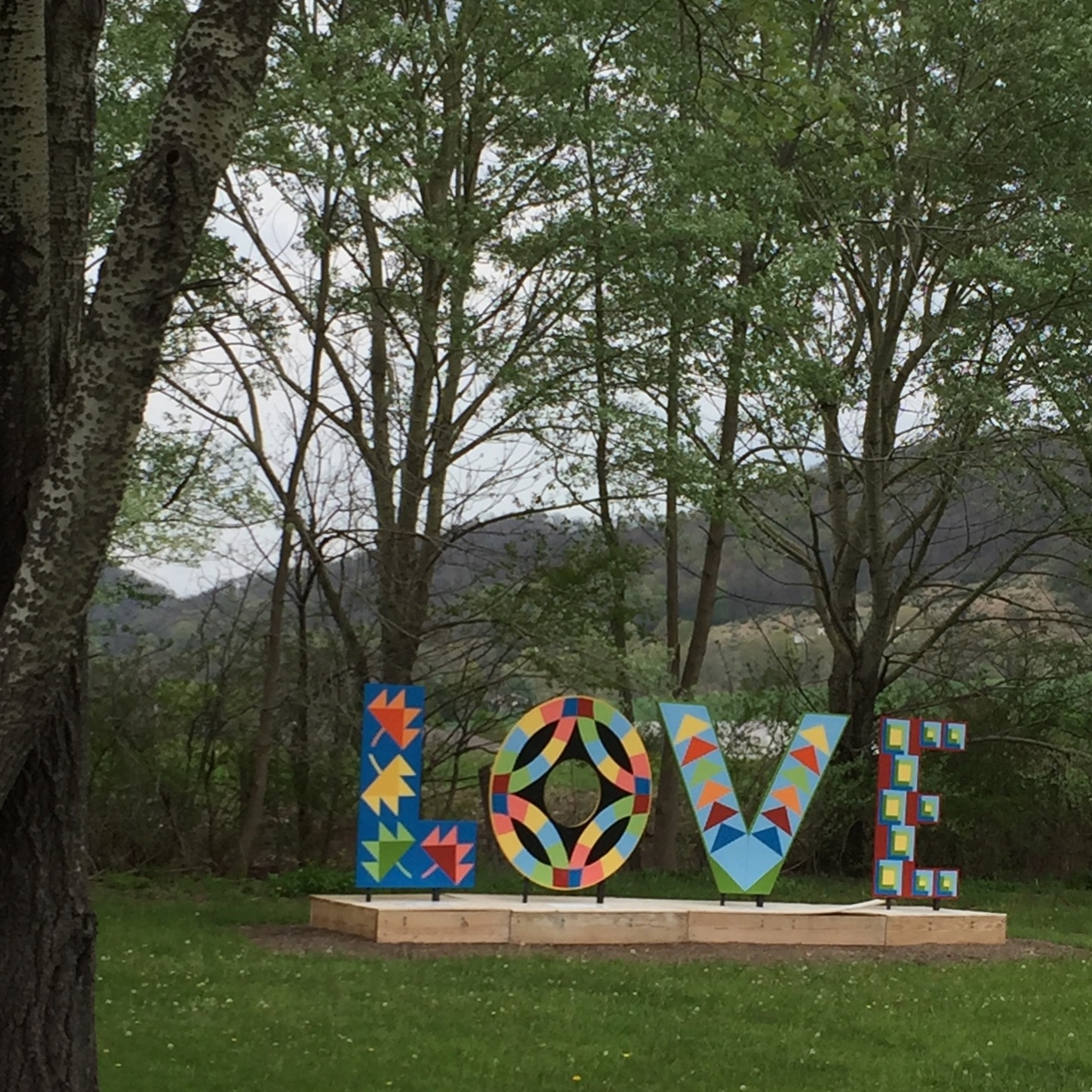
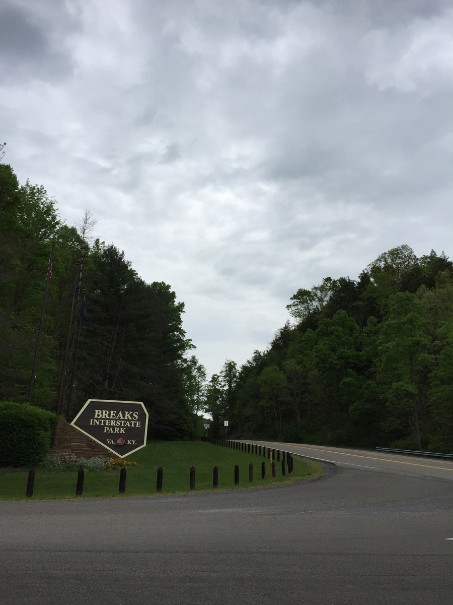
So, back to happy stuff…

These are "The Breaks" (anyone else hear Kurtis Blow when you read that?)
These are “The Breaks.”

Did anyone else hear Kurtis Blow when you read that photo caption? I’m not sure if I have ever admitted to y’all that I am a rap fan. Mostly old-school stuff from back in the day. Not gangsta rap, either.

How the park got it's unusual name.
How the park got it’s unusual name.

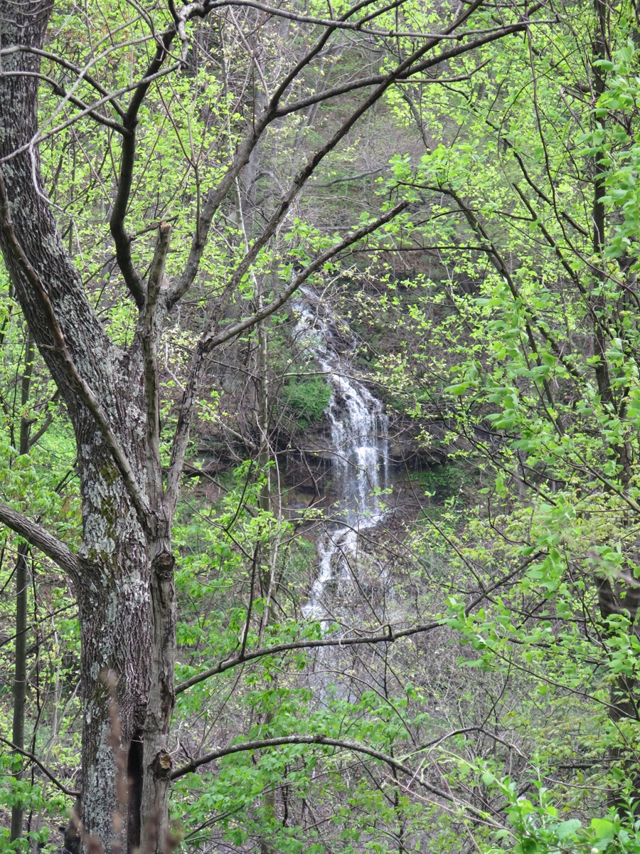
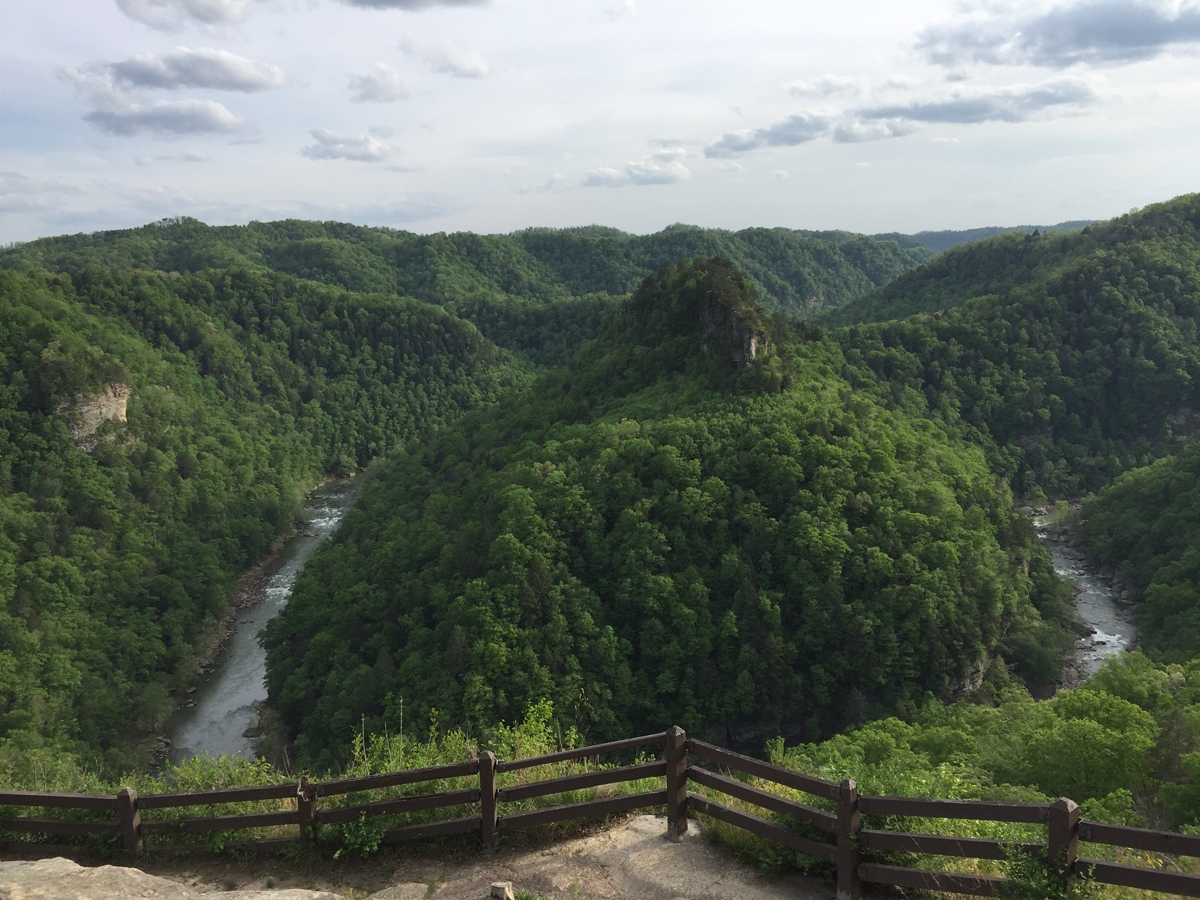
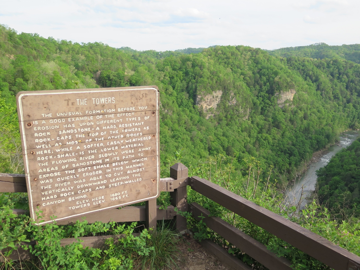
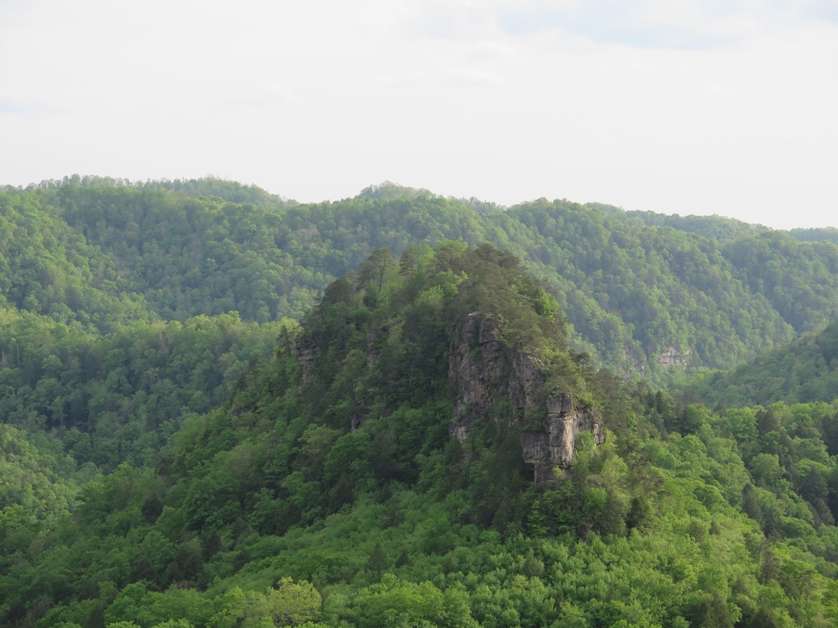
Here’s a quick little video taken from one of the overlooks (the park is mostly on the rim of the gorge).

I think the gorge is about 1,000 feet (~305 m) deep at this point.

BIP_IMG_0714
As seen from the Stateline Overlook.

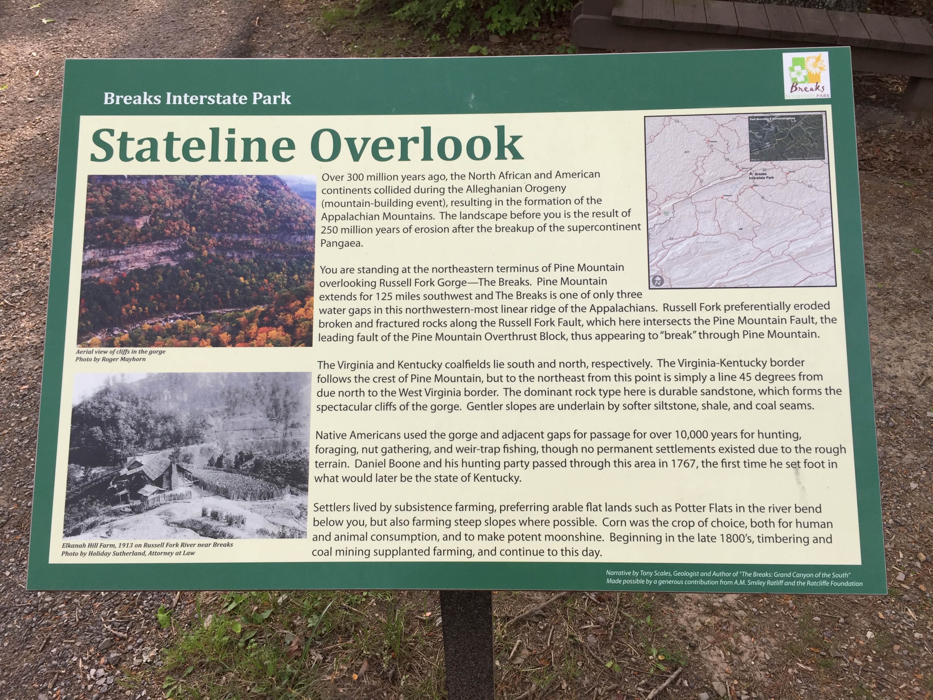
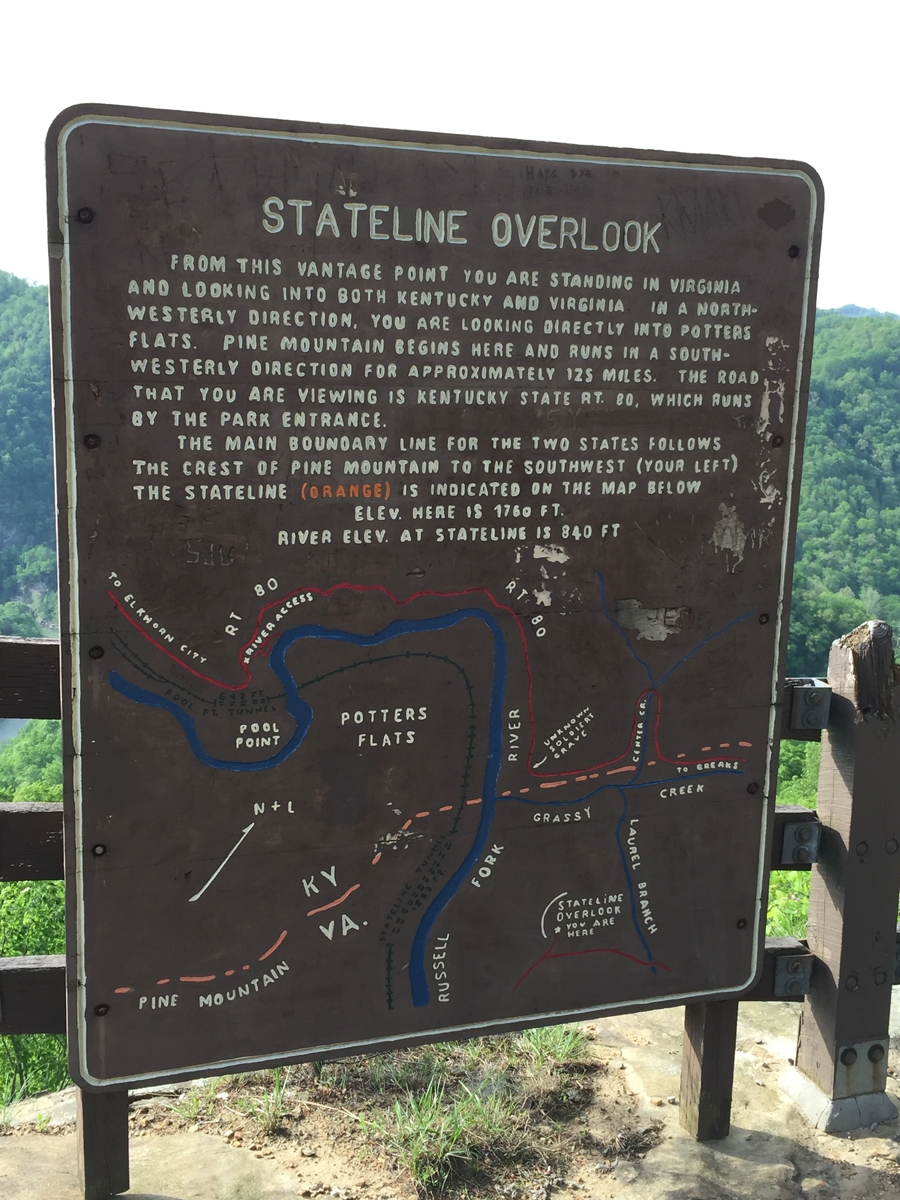
The view is described by the sign in the image below.

BIP_IMG_0715
Information about the view.

It was actually sort of early when I arrived at the park. I was hot, tired, and grumpy (seeing fellow Americans in extreme poverty as described in my previous post does that). I removed all of my gear, put on some comfy pants and hiking sandals, and rode around the park to see the various overlooks. I had the park practically to myself and was being very careful.

I couldn’t linger long, as the restaurant closed relatively early. And it would have been a VERY long ride to find anything else.

BIP_IMG_0717
My view during dinner at the lodge’s restaurant.

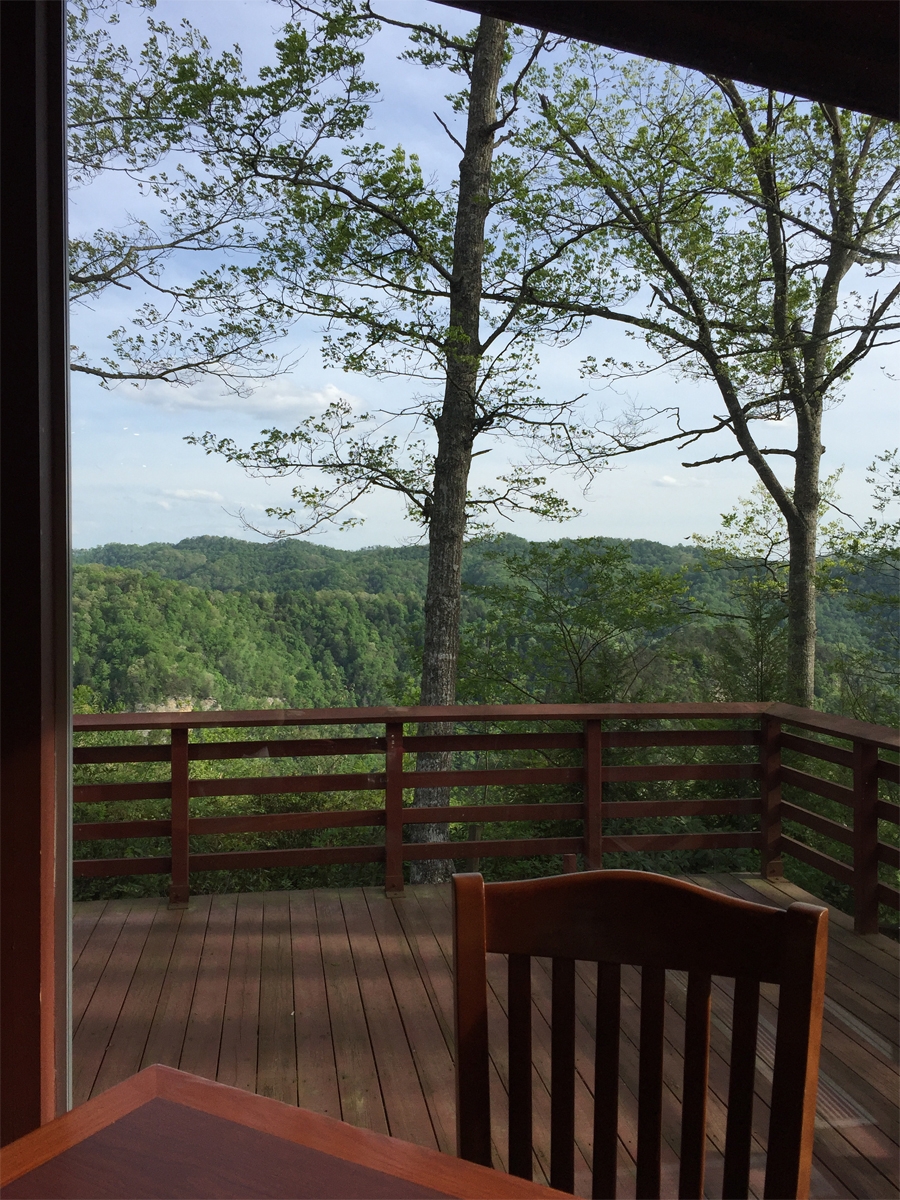
The view was the best part about dinner. That and the 3+ glasses of ice-cold iced tea that I chugged down. The service was excellent, but the food was just okay. State park concessions are not usually known for their fancy vittles.

After dinner, I wandered around the park a bit more. I was too tired for much else.

Looking back, I was probably dehydrated. I never drink enough when riding on hot days. Another reminder lesson learned.

BIP_IMG_0211
Information sign at The Towers Overlook.


BIP_IMG_0212
One of the two towers.


BIP_IMG_0213
Kind of amazing when you think water did that. Even if it isn’t as “grand” as THE Grand Canyon.


BIP_IMG_0719
All of the buildings had storm shelters.

Seeing all the storm shelters freaked me out a little bit. I mean, it’s nice to know there are lots of shelters available, but they wouldn’t have so many shelters if weather up on the ridge didn’t get rather fierce. Am I right?

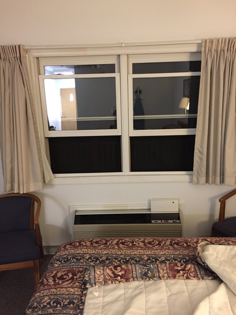
My lodge room was big, but basic. It had all the amenities, but the decor was plain. I did enjoy having a balcony AND being able to open the windows. I got to listen to night sounds, so it felt just like camping in the woods (or staying at our old WV Place).

BIP_IMG_0727
The windows in my room were staring at me!

From the bed, I couldn’t see the “mouth” of that monster. I only saw a face when I stood up. LOL.

The next morning, I awoke to the sound of wind howling through the trees. I looked outside and saw a lot of gray clouds. I checked the weather radar and saw lots of storms headed my way.

BIP_IMG_0732
Stormy Morning

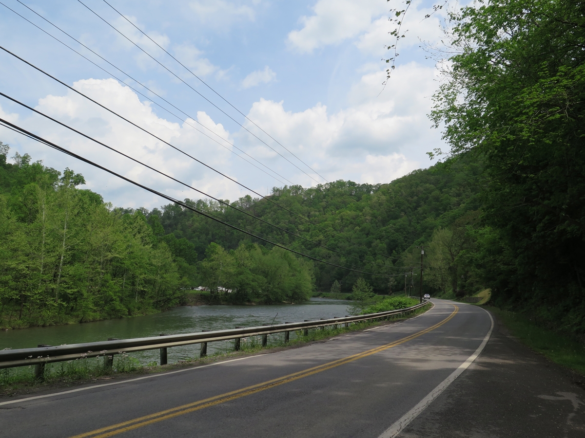
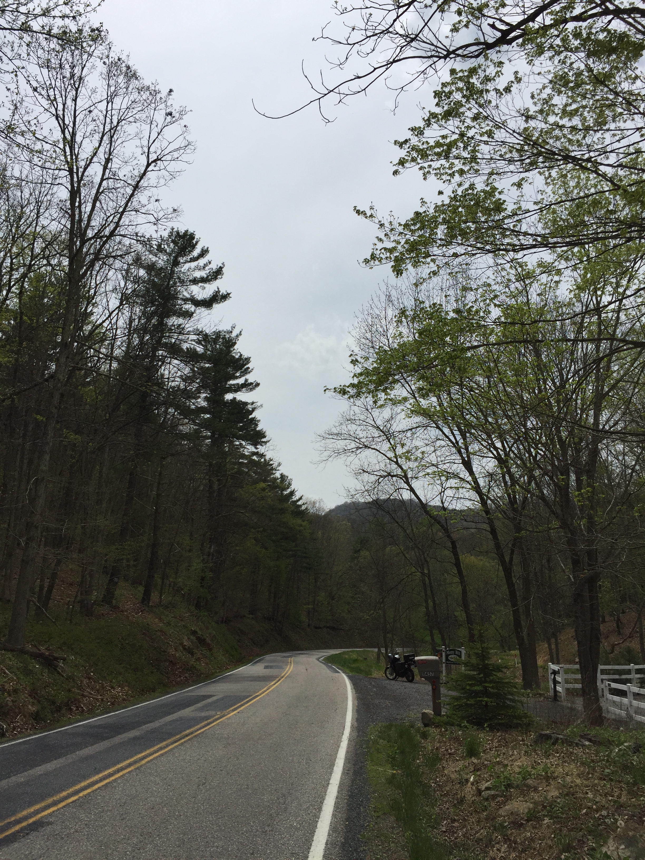
I don’t mind rain that much, as long as I have the proper gear along (I did). But I had no desire to be descending through the mountains on unfamiliar and very twisty two-lane, tree-lined roads during a thunderstorm or two.

I packed in record time and got out of there. I’d hoped to capture more pics around the park that morning, but chose to outrun the thunderstorms instead.

I did manage to get out of the high mountains before the rain caught up with me. But it was fine. All part of the adventure. 🙂

A Mixed Bag

The Daily Puzzle
The Daily Puzzle

One of the places I definitely wanted to visit during my trip was Breaks Interstate Park. It’s in far southwestern Virginia and actually straddles the Virginia-Kentucky border, hence the “interstate” name. I also wanted to spend some time on WV-52, because I remembered reading that it was a good road.

On Sunday morning, as I drank my coffee, I looked at my various maps — Google and paper — to figure out a route for the day. I THINK I wrote the directions, but can’t remember. I plugged it into Google maps on my phone, too. But it wasn’t a complicated set of instructions. Head southwest on WV-20 then north on US-52. North of Welch at Panther, I’d be turning left to cross the mountains. Easy, right?

The next challenge was repacking the top case in such a way that all my stuff fit. My clothing, toiletries, shoes, and rain/cold weather gear went in the panniers (boxes that hang on the side of the bike).

TBIP_IMG_0696
Pretty weather as I left Princeton.

I hadn’t gone far at all on WV-20 before I realized Hubby and I had ridden there previously. In fact, we’d even been on US-52 all the way to Welch. That was actually the trip — in October 2010 — where we’d heard about Breaks Interstate Park.

I knew we hadn’t been to the town of Welch previously. I was curious to visit, since it is the county seat and should be doing better than surrounding communities in that woefully depressed region.

Along US-52 south of Welch.

The highway did pass through several smaller towns, all of which had seen better days, but there most of the route was rural.

Waterfall alongside of the highway.


TBIP_IMG_0187
Welch, West Virginia

For the most part, the town of Welch looked about as I’d expected. There have been efforts at beautification, but there still appear to be lots of vacant storefronts and other buildings in town.

Mural in Downtown Welch


TBIP_IMG_0189
Mural in Downtown Welch


TBIP_IMG_0699
Downtown Welch


TBIP_IMG_0701
Downtown Welch

I did take some video along the way, which I’ll have to edit before posting.

From Welch, I continued North along highway 52. I rode for quite a while before I started thinking I may have missed a turn. I pulled off to the side of the roads to check my maps and confirmed my suspicions.

Near Gilbert, WV, along the Guyandotte River.

I could have doubled back along the same route, but chose a shortcut through the mountains instead.

I wasn’t at all prepared for what I saw.

The towns along the highway looked depressed, but along the back roads it often felt like I was driving through a third world country. The poverty in that area really is extreme. I must have looked like an alien to those people.

On one hand, I wanted to take pictures, to show y’all what I saw. But on the other hand, I couldn’t. I didn’t want those people thinking I was looking down on them. Gawking at their plight. Or even pitying them.

There is a great deal of natural beauty in that region, but there was little beauty to be seen in the houses, mobile homes, and other dwellings scattered along those back roads. There was nothing even remotely pretty or picturesque. Run-down shacks, some of which were still being lived in. Camping trailers older than me serving as people’s homes. Burnt-out buildings, left standing, I assume, because it takes money to tear them down. Cars and other vehicles in various states of disrepair, some no more than empty shells.

People should not live like that in America. Really.

Most of the time I was riding through that area, I had no real clue where I was, or if I was on the right roads, even. But I felt like I was headed in the right direction, so I pushed on. I was never scared or worried. I just kept going, absorbing all that I saw. It was heartbreaking.

I did capture a few general pics along the way, after I’d left the residential areas behind.

TBIP_IMG_0196


TBIP_IMG_0197


TBIP_IMG_0204


TBIP_IMG_0202


Road project or surface mining operation?

One thing is for sure, I was REALLY happy to see the sign in the next photo.

TBIP_IMG_0705
Breaks, Virginia

I’d found Breaks, Virginia! My gut had been right about my direction of travel.

I couldn’t find the park entrance initially, and I had no cell signal, so I headed to the closest town where I knew from that previous trip that I’d find a Hardee’s for lunch and, hopefully, a wifi connection.

I knew I couldn’t linger long. It was actually late-afternoon and I thought I had many more miles to cover before I would find any decent motel rooms. I thought the lodge and other concessions in the park weren’t open. Imagine my delight when I reached the park and discovered the lodge and restaurant open for the weekend.

Honestly, I was pooped. It had been a long, emotionally draining day. It had been hot that day, too. I was sooooo happy not to have to spend a few more hours in the saddle.

I’ll tell you about the park in my next post.

A Growing Trend

As I continued south and west on day one of my journey, I was continually surprised to see more and more barn quilts. The trend certainly seems to have caught on.

I’d seen several of the barn quilts in Pocahontas County, West Virginia, and know that county has an established quilt trail — map and guide/listing of quilts to draw people to the area — but there were some barn quilts I hadn’t seen. I also had not noticed barn quilts in Greenbrier and Monroe counties the last time I’d ridden through.

Pocahontas County, West Virginia
Pocahontas County, West Virginia #1

That barn quilt in Pocahontas County, along WV-92 north of Green Bank, is one of the first I’d ever seen up close. That was several years ago, but it is still one of my favorites.

Speaking of Green Bank, I did stop for a quick look at the biggest telescope. It’s hard not to marvel at the size. How big? It supposedly could hold two football fields.

Green Bank
Green Bank Telescope

As an aside… I did NOT know that Green Bank Observatory is no longer part of the National Radio Astronomy Observatory. You’ll have to read the linked article to find out more.

Pocahontas County, West Virginia
Pocahontas County, West Virginia #2

I do remember having seen this one, which is on US-250 near the intersection with WV-92, but it was raining pretty hard when I saw it the first time, so I hadn’t stopped.

And here’s one I had not seen before. I love the pattern in the paint. (Click on image for a larger view.)

Pocahontas County, West Virginia #3

As I was contemplating my trip, I’d thought about making Princeton, West Virginia my first overnight stop, but as I rode on, I was getting tired. I knew I’d be passing through Marlinton to get to US-219, and considered spending the night there, but it was still pretty early in the day. Once in Marlinton, there didn’t seem to be enough for me to do if I did stop. My fear was that I’d book a room, stop and rest, then get bored and kick myself for not moving further along.

So I just stopped for a snack and a drink, which seemed to be all the refreshment I needed, and continued on.

At the risk of sounding repetitive, US-219 through West Virginia really IS a nice road. It is both scenic and fun, with lots of long, smooth sweeping turns interspersed by hills and twisties (think zig-zags). And not much traffic. Of course, I hadn’t encountered much traffic all day.

The next couple images were captured along US-219 north of Hillsboro, West Virginia. I think the barn is on the property of the Pearl S. Buck Birthplace Museum. Check out that unique fence. It’s hard to tell if the cross-wise pickets were meant to be decorative elements, or added as an afterthought to close-in the larger openings.

Interesting Fence
Interesting Fence

Here’s a closer look at the barn quilt.

Barn Quilt north of Hillsboro, WV

Still further south (Monroe County), I was surprised to see barn quilts on some of the businesses in the town of Union, West Virginia.

Monroe County, West Virginia

And then there was this barn, which I just HAD to stop and photograph.

Not a barn quilt.
Not a barn quilt. Sort of an anti-Mail Pouch barn.

It was starting to get cloudy and windy, and I could smell rain. I thought for sure I was going to get caught in a thunderstorm, but I didn’t.

Who can resist a giant chicken?

The chicken was actually outside of Narrows, Virginia, a little, tiny piece of the state I had to ride through to reach Princeton, West Virginia. I may have just ridden past, but I wanted to check my phone for lodging options in Princeton.

Unfortunately, the signal wasn’t strong enough. So I just rode on into Princeon, figuring I’d take my chances. I’d stayed in Princeton a couple of time previously. It’s off of I-77, so there are lots of hotels, motels, chain restaurants, gas stations, etc. Even a pretty big beef jerky outlet (at least the third one I’d seen that day).

I was headed for a Bojangle’s — I was hungry AND they usually have free wifi — when I turned off the highway and saw this cute little Turnpike Motel. Places like that are great for motorcycle trips because you can park right outside your door, which means you don’t need to make multiple trips to/from your room for purposes of unpacking/packing and readying the bike for a new day of travel.

It was recently refurbished, had a vacancy, and was cheap. It was within walking distance of Bojangle’s, too. Even better, I got to park under a roof (at the suggestion of the lady at the front desk).

Parking doesn't get any more convenient.
Parking doesn’t get much more convenient.

My door was the one on the left.

After checking in and getting settled, I walked over to grab some dinner. It always feels good to walk a bit after a long day on the bike (it was close to dark by the time I reached Princeton).

That was the end of day one. It was a good day. 🙂

I LOVE Barn Quilts

Surprised Barn
Surprised Barn

When I started my quest to visit and capture pics of all the LOVEworks in Virginia, I wasn’t thinking that more would keep getting added. Back then, there were less than 50. Now, there are over 70 on the list. And I know of at least two that have yet to be listed. So I have no idea how many there actually are.

Monterey, which sits at the intersection of US-250 and US-220 — both fabulous motorcycle roads — is always a pleasant place to visit. (Something I learned recently, which may also interest some of you, is that US-250 is part of what used to be known as the Staunton-Parkersburg Turnpike.)

I do remember having read about the Monterey LOVEwork in Highland County becoming the 50th LOVE artwork. And I’d vaguely remembered reading about the Highland County LOVEwork and why they’d chosen to use a quilt theme. According to the Virginia.org website:

The LOVE letters in Highland County celebrate the rural landscape and heritage of this scenic community. In recognition of the many barn quilts located throughout the county, the LOVE letters used traditional quilt block patterns to highlight the many special features in Highland. L uses Maple Block to celebrate our maple products and popular festival in March, O uses the Double Wedding Ring to recognize our family heritage and sense of community, V is painted in Flying Geese to show our love of our wildlife and farm animals, and the E uses the Log Cabin block to represent our country style and love of home.

It was only after I saw that first barn quilt on the mountain east of Monterey that I remembered the connection.

IMG_0655
The first barn quilt of the trip.

I didn’t follow the trail during my recent trip, but I did see some very nice barn quilts along the route I eventually chose to take though the county (US-250 west into West Virginia).

IMG_0153
Ugly building, pretty barn quilt.

That one was right in town. I suspect maybe that one was sponsored by the town, since that sort of looks like a public works-type building.

IMG_0155
US-250 is a FUN road.

My camera was not tilted, the road is banked. 🙂

IMG_0154
Scenery along US-250 just west of Monterey.


IMG_0156
More barn quilts.


IMG_0157
Doesn’t that one look lovely on the white barn?


IMG_0159
Intricate Design

Monterey is only about 15 miles west of the VA/WV border. It was taking me a lot longer than anticipated to cover those few miles, what with all the stops. (That’s the sort of thing the would drive my Hubby crazy.)

IMG_0160
Some folks have more than one barn quilt. I thin.

The next one is certainly one of my favorites. I suspect it os owned by the same folks whose house is pictured immediately above, but I don’t know for sure.

IMG_0163
Bee Barn Quilt!

Do you love that one, too?

IMG_0165
The road surface could use a little work, but it’s still awesome.

You have to look a bit harder to find some of the barn quilts.

IMG_0166
Shed tucked away atop a hill.


IMG_0167
Closer look at the shed.

That was either the last one I saw before hitting WV, or it was the last one I could safely stop to photograph. US-250 is, after all, a twisty mountain road, and there aren’t always safe spots to pull off for stops.

IMG_0170
Keep moooving, ToadMama!

Those cows were actually near the white barn in the first photo above (the Surprised Barn). I can’t remember if it was in VA or WV, but I do remember that the barn made me laugh. And seeing cows stare at me every time I stop always makes me smile.

I hope you enjoyed the Highland County barn quilts as much as I did. I saw even more in West Virginia. That’ll be in my next post.

The First “First”

The week before I left for my adventure, I worked over 70 hours. Needless to say, my brain was a bit fried on Saturday morning. But, that’s okay. Riding really is the best medicine to relieve stress.

I honestly had no firm plans beyond heading to Monterey, Virginia to see their LOVEwork. When I pulled out of my driveway, I had no idea which route I’d be using to get there. As I headed south on US-29 toward Stanardsville, I initially thought about crossing the mountains on US-33, because my favorite route — Dyke Road — that parallels the mountains on the eastern side would have taken longer. Then I realized I WAS IN NO HURRY, and took my favorite, also longer, route instead.

It was lovely. Such a pretty area.

IMG_0648
VA-810, just North of Boonesville in Albemarle County, Virginia.

I don’t know the full story behind this next place, a little further south along the same road. I wasn’t a fan of The Waltons TV show, so wouldn’t recognize this place even if it were on the show. But the fence says Walton’s Homeplace. A quick Google search didn’t help.

IMG_0649
Sign on the fence.


IMG_0650
Cute little old house.

I took my good, sweet time enjoying the scenery. I even stopped at my favorite store for a snack and a drink.

IMG_0646
Dyke Store


Dyke Road
Dyke Road

From there, I continued south and west, not paying much attention to anything other than the ride and enjoying the scenery. I was tickled to see a barn quilt atop the mountain just before Monterey.

IMG_0655
Barn quilt.


IMG_0656
Stopped along US-250, east of Monterey.

I still wasn’t thinking about much of anything in particular beyond getting to Monterey. I was looking forward to seeing the LOVEwork. So much so, that I almost headed for it first, but I figured I’d better stop in town for gas first.

That’s when it happened. Because I hadn’t been paying attention, for the first time ever, I ran out of gas. As you’ll see in the next pic, it wasn’t as bad as it could have been.

Photo captured while standing at gas pump.

That street sign you see in the above shot is where I ran out of gas. Literally about 25 feet from the gas station. I had to push the bike, but another rider came over to help me (it was slightly uphill).

“Gas?” he asked as he started pushing.

“Yes,” I said.

“That’s cutting it a bit close, isn’t it?” he said.

“Yes,” I said, laughing. I thanked him for the help, he rejoined his group, I filled up, ate some lunch, and then off I went.

Monterey LOVEwork
Monterey LOVEwork

I didnt have to go far to find the LOVE. I think it’s one of the prettiest ones I’ve seen.

After that, I just had to figure out where to go next. Again, I had a direction in mind, but no route plan. It was fun making my way on the fly.

One thing for certain, I kept a closer watch on the gas gauge after that. And I usually filled up well before I got too close to empty. 😎

ToadMama’s Big 50 Adventure

My trip has come to an end. It was a grand adventure. I saw lots of interesting stuff, put check marks next to some list items, rode a lot of amazing roads, captured some more LOVE, experienced some firsts… all in all, it was a damn fine adventure.

I left on Saturday, April 29, with no definite plan beyond making Monterey, Virginia my first destination. And that’s because there’s a LOVEwork in Monterey I hadn’t seen. If you’re not familiar with the whole LOVEwork thing, CLICK HERE. (I need to update my “log” page. I’ve seen well over 50 now.)

In nine days, I covered 1,911 miles. That’s an average of just over 212 miles per day. And most of those miles were on seriously curvy roads.

I keep encountering issues uploading pics for some reason, so I’ll post more later. Since I was so late letting y’all know the trip had started, I figured I should be more prompt announcing the end.  🙂

I have some good stories to share, and lots pf pics, so I’ll post more soon. I promise.