The Dragon: Fun But Over-hyped

On my recent adventure down the Blue Ridge Parkway (BRP) to the Great Smoky Mountains region, I rode the infamous Tail of the Dragon. How could I not? It’s become a spectacle that no self-respecting motorcyclist would miss while in the area. And I got a fun picture in the bargain.

ToadMama on The Tail of the Dragon (June 23, 2015)
ToadMama on The Tail of the Dragon (June 23, 2015) [This work is licensed under a Creative Commons Attribution-Noncommercial-No Derivative Works 3.0 Unported License. Source: Killboy.com]
Killboy.com is one of at least three companies that shoot photos along The Dragon. A lot of people come here for the sole purpose of having a ride photo captured. It’s a nice perk, if you’re a photo geek like me. And it only cost me $6.

I would never plan a trip to North Carolina/Tennessee specifically to ride The Tail of the Dragon (aka The Dragon), but a lot of people do. It’s just one of those roads that’s become a must-ride for anyone on two wheels. Lately, it’s also been growing in popularity with car enthusiasts. Unfortunately, its popularity has become one of its downfalls.

Here’s a great documentary video about The Dragon done by the Eastern Tennessee PBS station.

It can be a bit of a spectacle at times. And loud, as you’ll see in this next video.

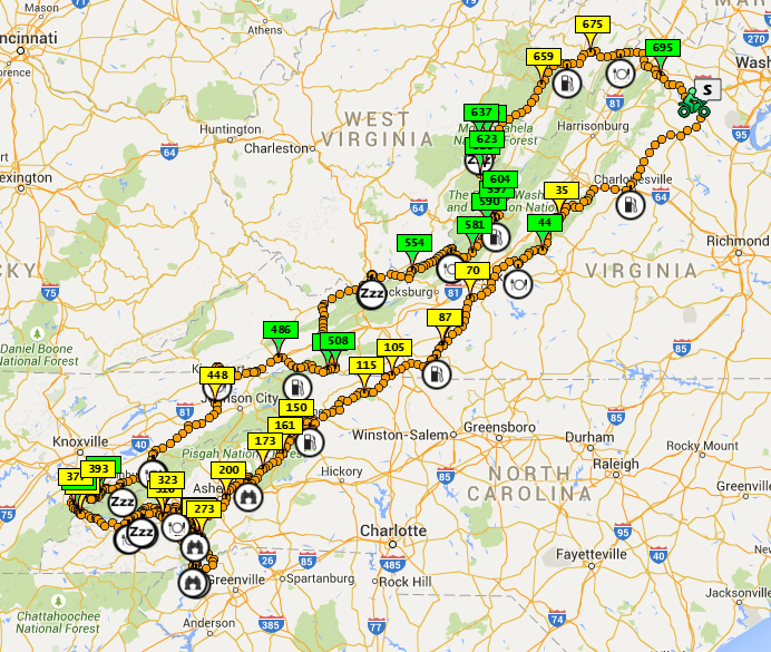
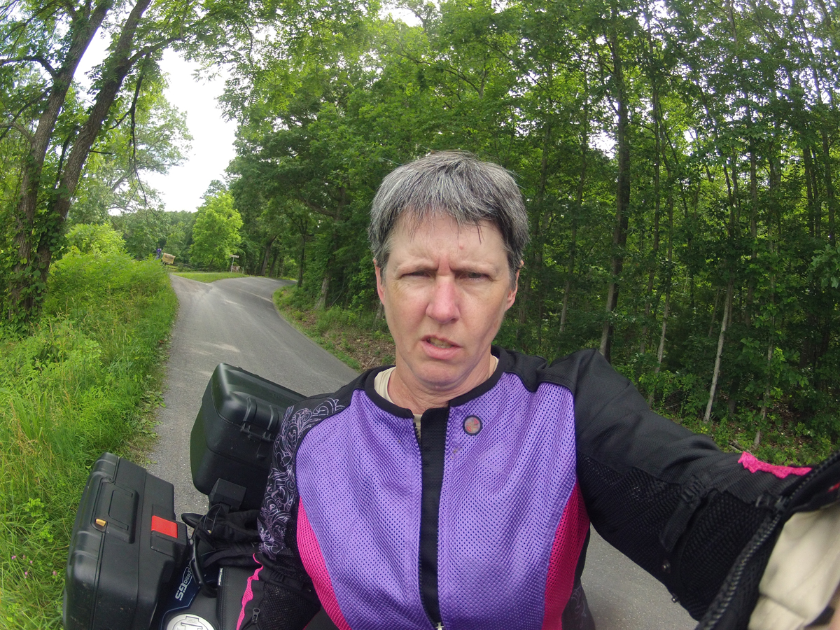
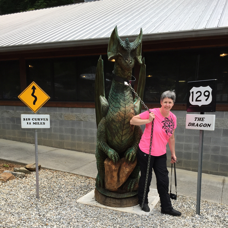
Don’t get me wrong, it’s a cool road. For those who don’t know, The Dragon is an 11-mile stretch of road at the NC/TN line, which borders Great Smoky Mountains National Park. There are 318 curves packed into those 11 miles. Take a look at the Google map embedded below.

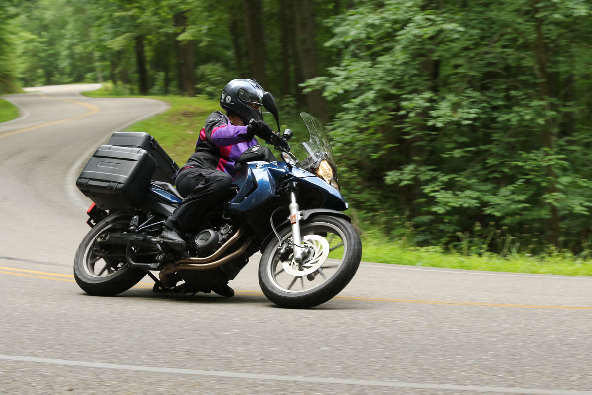
Mike and I first visited in 2007. I had my V-Star 1300 Tourer at the time. The Dragon does have lots of curves and quite a few challenging spots. It was much more fun on my current bike, even if the speed limit has now been dropped to 30 mph.

I did capture a video during the first 8.75 miles of Run #1. It would be a tedious 18 minutes at normal speed, so I kicked up the video playback to 2x speed. (Don’t worry folks, I was not going as fast as 2x speed makes it seem.) There is no sound.

Here’s a map with many if not all of The Dragon’s curves marked and/or named.

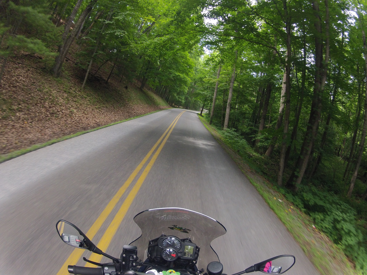
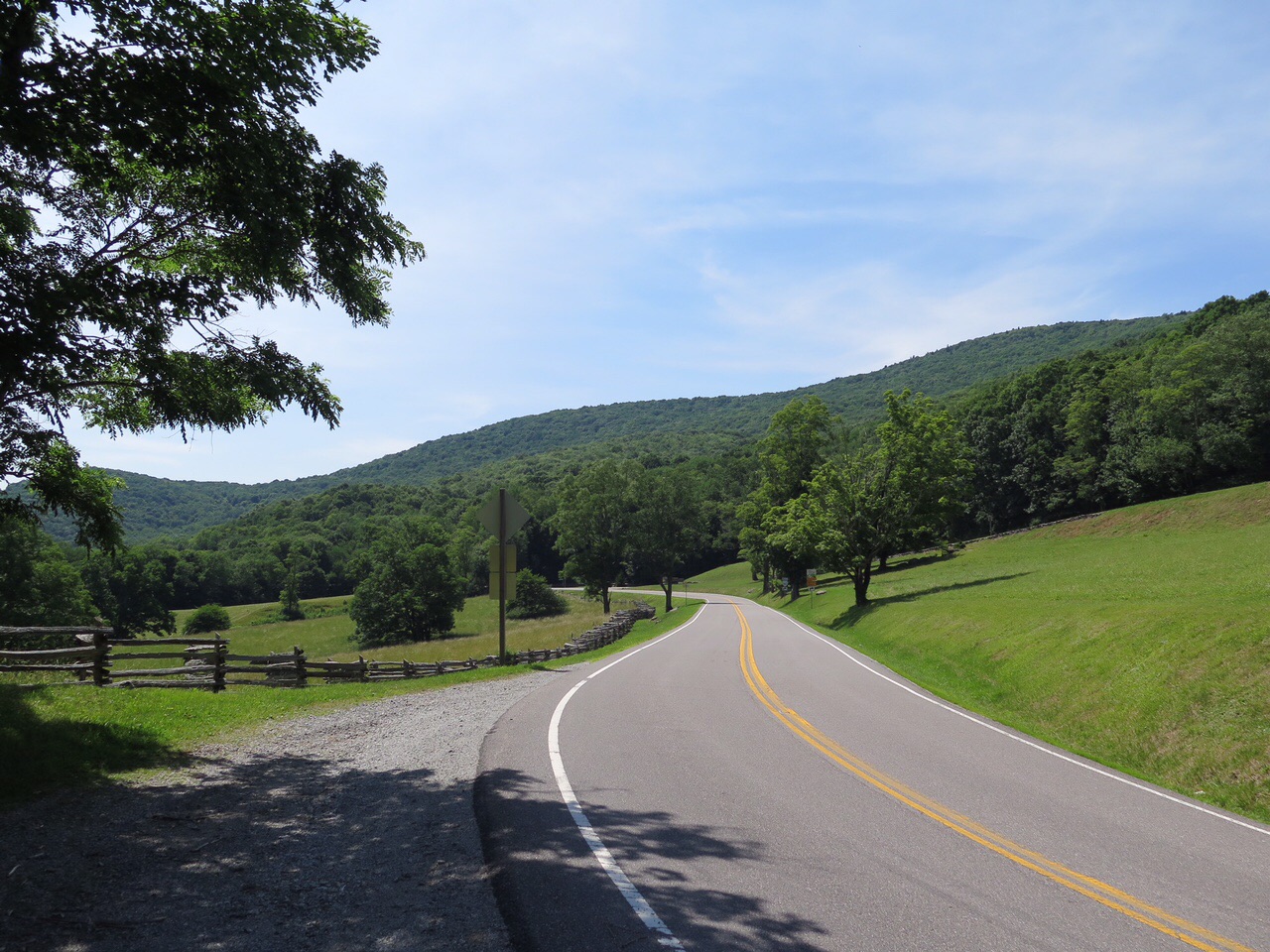
There are many better roads to ride in the area. Like the nearby Hellbender, which is now called the Moonshiner 28. I rode the 30 or so mile portion of NC-28 between US-74 west of Bryson City and US-129 at Deal’s Gap. It’s got lots of long sweeping turns as well as a higher speed limit (maybe 50 mph?).

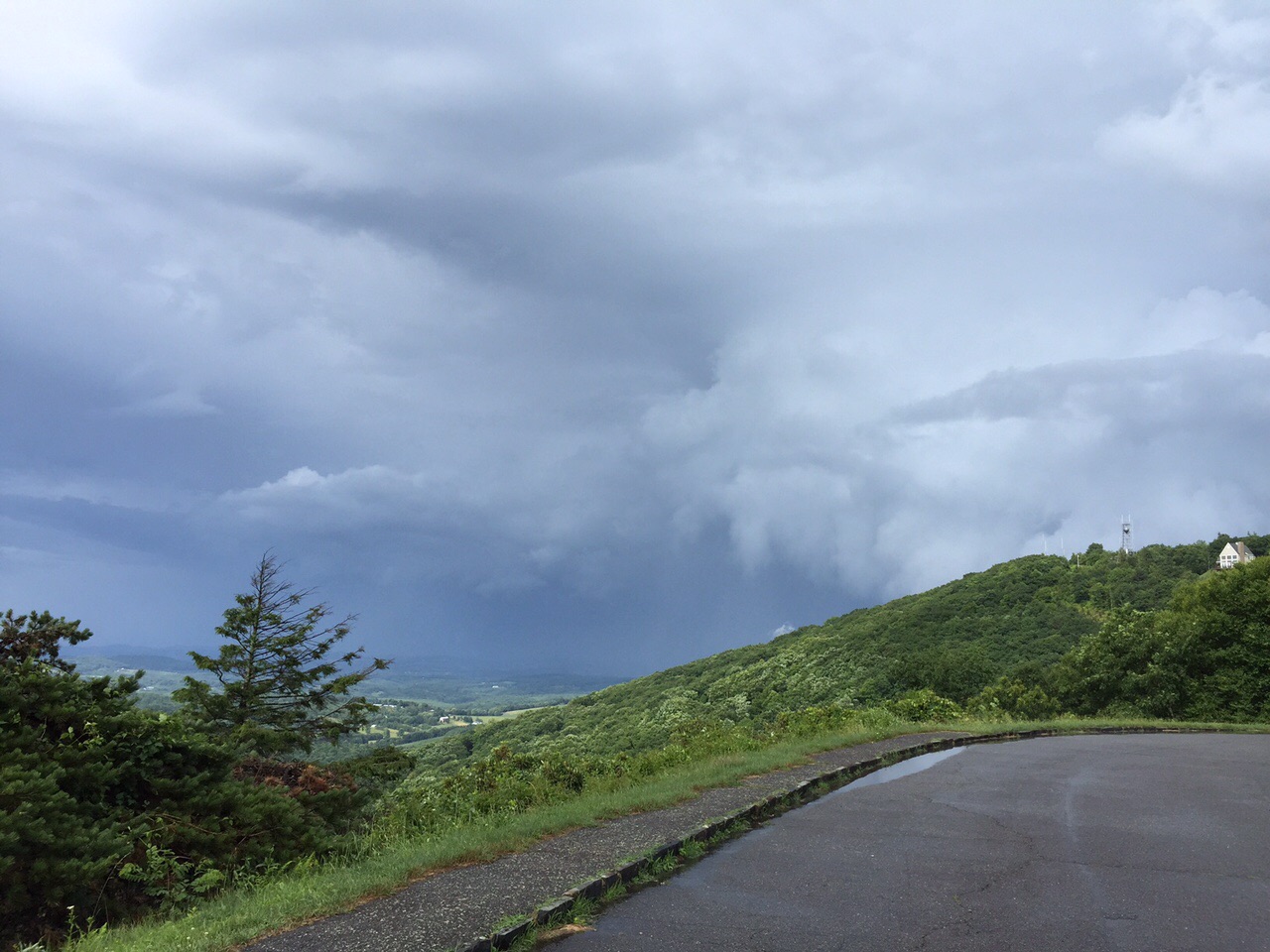
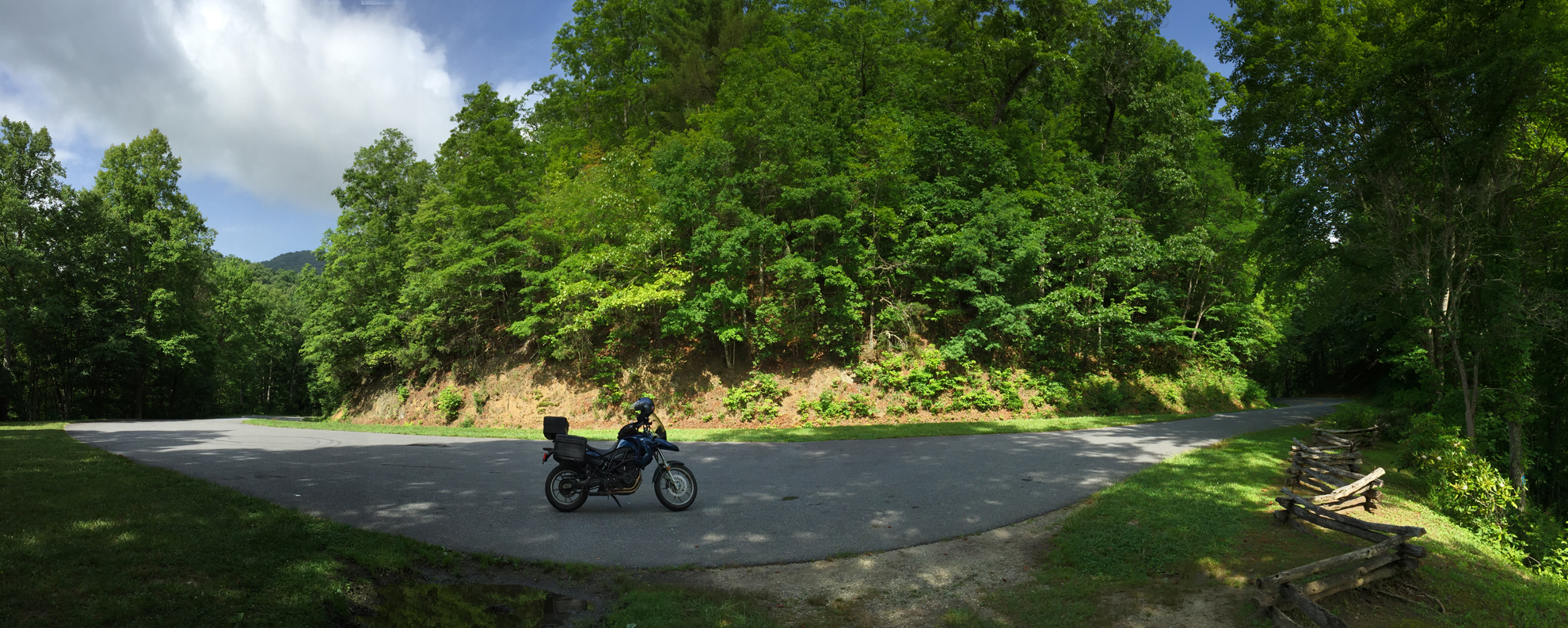
Here’s a panoramic shot I captured from a pull-off. The pavement you mostly see is in the pull-off, it is NOT my bike parked in the middle of the road.

Panoramic Capture Along NC-28

When doing research on the different road names, I came across a July 2010 post in the ADV Rider forum by klaviator, Beastly Adventurer that hit the nail on the head where The Dragon is concerned…

I have noticed that most people who have been riding it for a long time still call it Deals Gap while newer riders, tourists and the media call it the “Dragon”

Personally I still call it Deals Gap. To me Deals Gap is (was) a fun road with lots of curves and no cops. (Yeah, I know I’m dreaming.) The Dragon is an overcrowded tourist destination where flatlanders go to buy a t-shirt, wobble through the curves and go back home to brag that they “Slew the Dragon”… Just my opinion.

As I mentioned earlier, The Dragon’s popularity is one of its downfalls. People of all skill levels come from far and wide to ride The Dragon. It’s not for everyone. Not only does it require skill to maneuver in the turns, you need to know how to ride defensively (AWAY from the center line in blind curves) and be prepared to stop on a dime since you never know what’s around the next turn.

For the most part, although it looked crowded at the resort, I encountered little traffic. And this is one of the rare places in America where cars will actually pull over to let motorcyclists pass. 🙂

I did come up behind one guy who was moving along okay in the straights, but struggling a bit in the turns, so I hung back a bit. I even captured some of his struggles on video. If you missed it during my ride video, check out the brief clip below. (No, he didn’t crash. But he was close.)

Here’s another video clip I HAD to share. I laughed when it happened, and I giggle every time I watch the clip.

The guy was looking at my favorite sticker, which says, “You Just Got Passed by a Girl.” Sorry about the cloudy lens. That was at the end of Run #2, so there’s either bug guts, general humidity, or both on the lens.

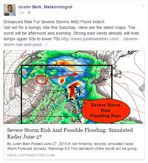
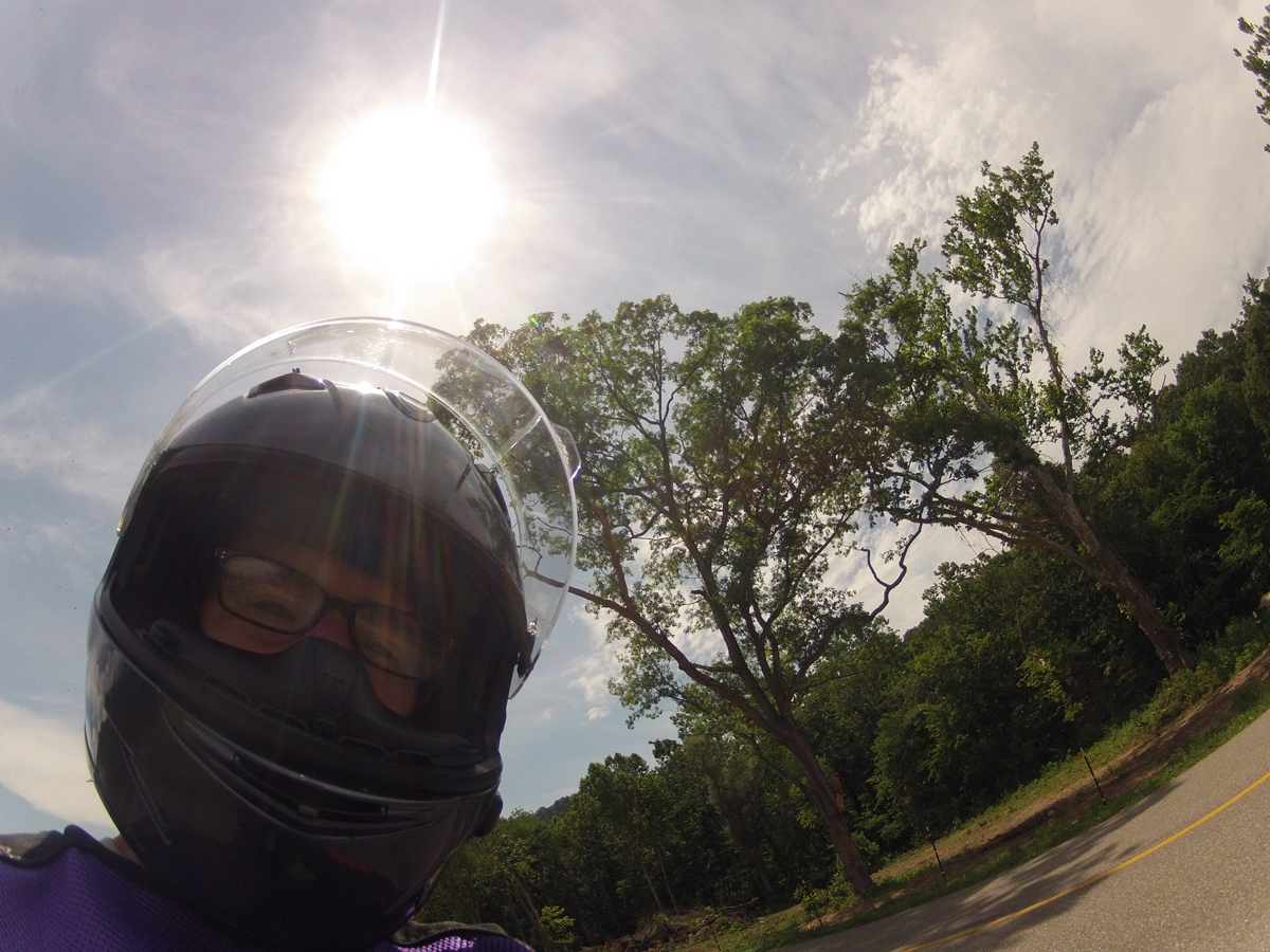
I had to have a silly pic, right?

IMG_2558
Silly Dragon Pic

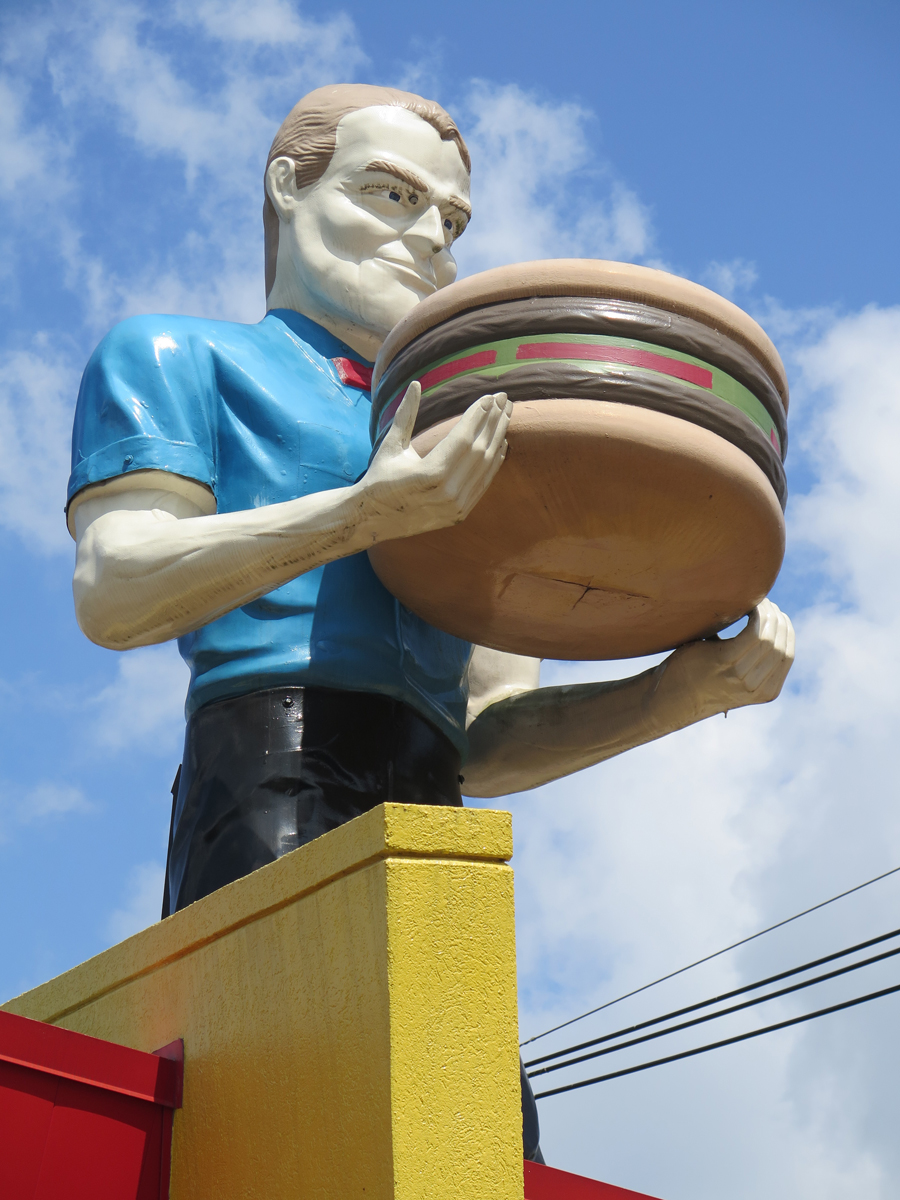
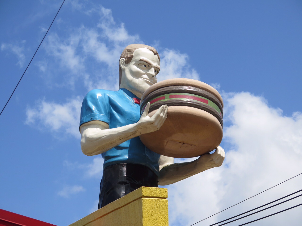
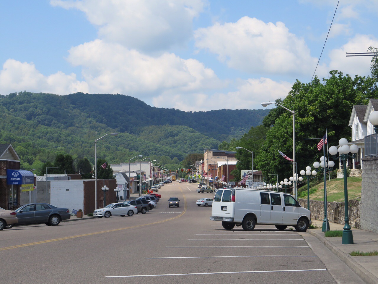
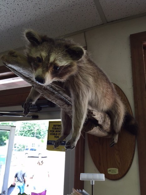
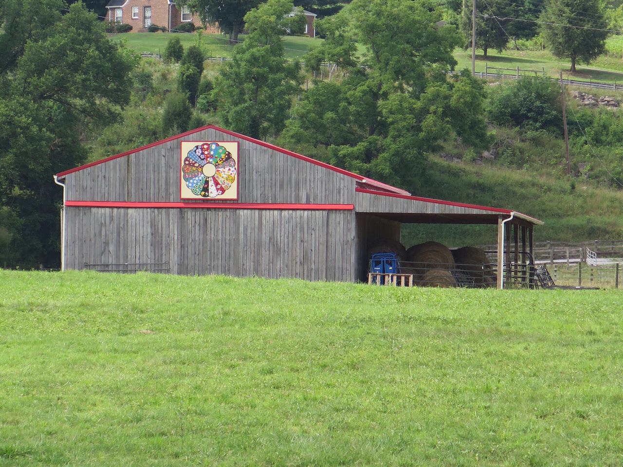
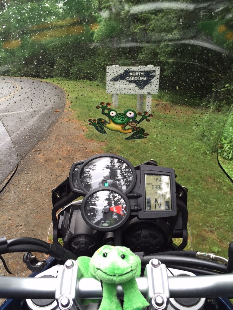
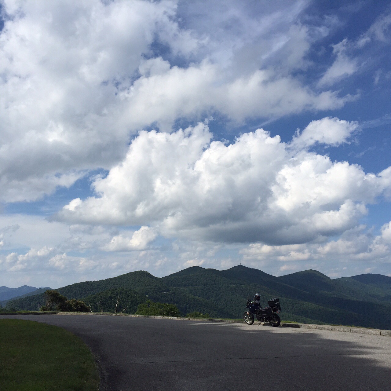
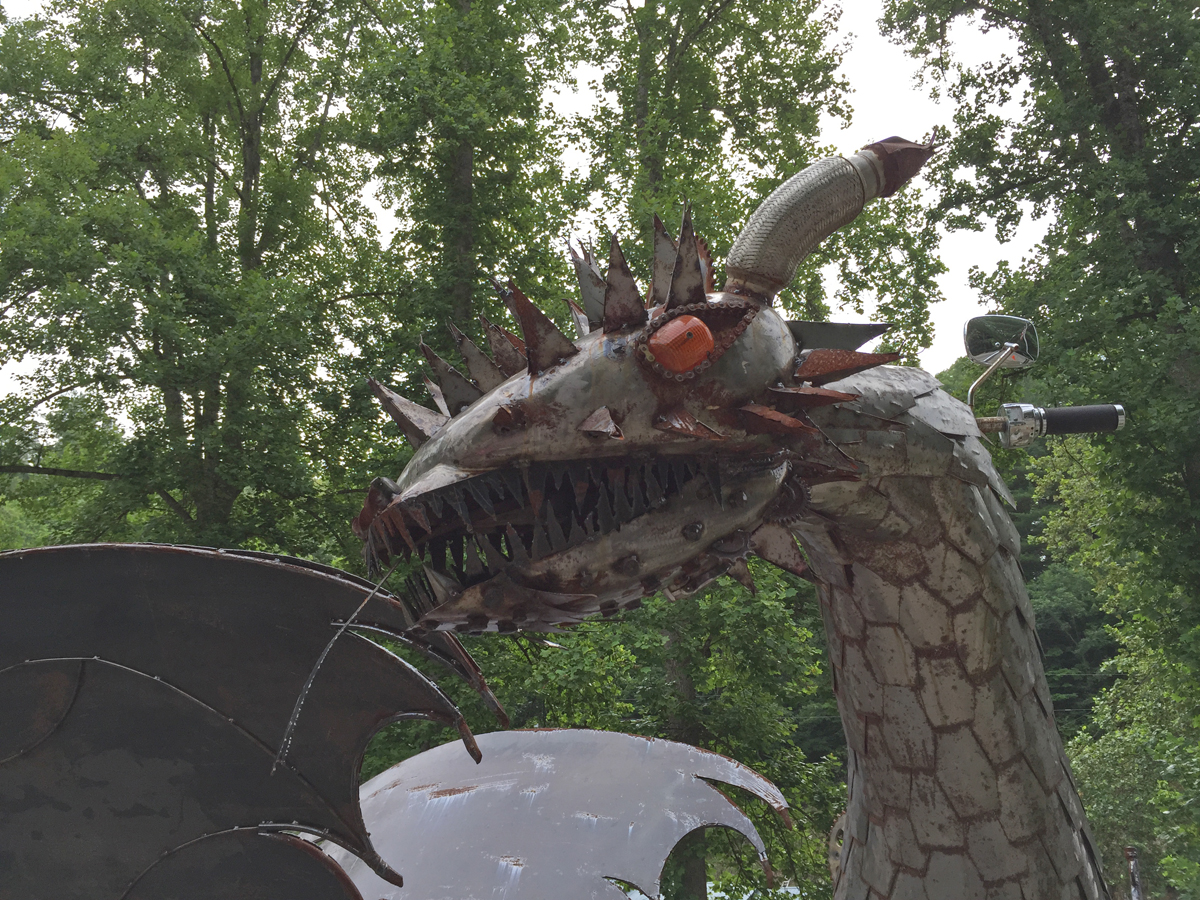
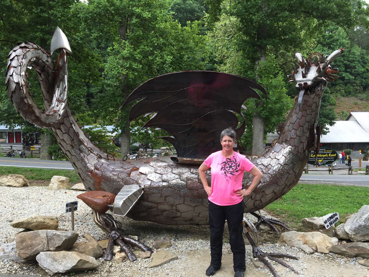
Finally, here are some other pics I captured while at The Dragon.

IMG_2525
Dragon sculpture fashioned from bike and car parts.


IMG_2531
Me with the dragon sculpture.

So that was my Dragon experience. Have you been there before? If you could only ride one road in the area, would that be the one?

Personally, I’d choose a different road. If it was the only one I could experience for some strange reason. But, since I was there without an agenda, I figured I’d go ahead and enjoy a run or three.

More Than Limited Cell Phone Coverage

Happy to Reach NC
Happy to Reach NC

Usually when I travel, alone or with Mike, I plan things in advance. At least to a degree. Things like where to go, what to see, and where to stay. For my most recent trip, although I did reserve a room in Cherokee, North Carolina for Sunday night (I could cancel up until 4:00 p.m. Sunday with no fee), that was it.

I’d thought about reserving a room for Saturday, somewhere along the BRP in Virginia. But, since I had no idea how far I’d travel that day, it didn’t seem to make sense. As it turned out, I was right.

I was kind of amazed when I reached the North Carolina state line on Saturday afternoon. Especially after encountering thunderstorms and rain.

Wanna know what I found even more amazing? Well, perhaps entertaining is a better word.

There is actually a North Carolina/Virginia or Virginia/North Carolina state line.

Check out the next pic. See the line on the road? How funny is that?

State Line. Literally.

I could have and probably would have stopped sooner on Saturday, but I couldn’t get a cell phone signal. And I didn’t want to venture off of the BRP before finding a room. Few towns big enough to have decent food and lodging options are close to the BRP in that area.

Booking a room at the end of each day seemed to work well enough. Until Thursday. I’d mapped out a route that would have taken me down near Lexington, Virginia at day’s end. If I’d had any idea how much time the route would actually require, that is.

No worries, I still wasn’t on any real schedule.

I reached the Cass Scenic Railroad around 5:45 p.m. It wasn’t a planned stop, but since I was close, again, I decided I HAD to stop. Especially since I’d passed it at least three times previously.

Dark clouds had slowly been forming all afternoon. I figured I’d better don the rain gear while stopped at Cass,  just in case. As it turned out, the storm hit sooner than anticipated. Storms can move fast in the mountains. Since the weather folks were predicting severe storms with damaging winds and the potential for hail, I figured I’d better stop. But there was a problem. I had no cell signal. Being familiar with that area, I knew that other than the Snowshoe ski resort, there aren’t many other lodging options. So off to Snowshoe I headed.

I parked in front of an expensive-looking lodge, under its front canopy, and tried my phone again. No dice. I ended up having to actually walk in and talk to a person — gasp! — to see if there was an affordable room on the mountain for me. Weird, right?

There was a room. Yay, me! But the point of this post is actually the lack of cell phone coverage. It’s not all that uncommon in the mountains, but you can usually find a signal at higher elevations. Especially near a population center like Snowshoe, which is pretty big. As it turns out, Snowshoe and Cass are both in the National Radio Quiet Zone.

Um, what?

According to the brochure provided to me by management upon check-in, the Snowshoe Resort is located in…

…a “National Radio Quiet Zone,” which is in place to minimize interference with our neighbors at the National Radio Astronomy Observatory. Home to the largest steerable telescope in the world, the Green Bank Telescope studies our solar system as well as distant galaxies and stars. Because of this marvel of modern science, cell phone coverage is limited in the area.

Here’s a pic of Green Bank I captured in August 2014 when Hubby and I passed through.

DSCN3312

The National Radio Quiet Zone is more than limited cell phone coverage, though. Far more. There’s no wifi, baby monitors, microwave ovens, wireless doorbells, etc.

I stumbled upon this short documentary video about Green Bank, courtesy of The Atlantic, which I thought y’all might enjoy.

Talk about being disconnected.  Here’s another interesting article on the topic.

On one hand, it sounds a bit archaic. On the other, it’s quite a peaceful place.

Barn Quilt in Pocahontas County, WV

I’ll just have to remember to plan ahead next time I visit.

Closing the Loop

My solo adventure ended when I arrived home yesterday (Friday) at about 5:00 p.m. It was loads of fun, and I had no significant mishaps along the way. Yay!

My Meandering Route
Screen Capture of My Meandering Route

If you want to zoom in on the route, you can go to the interactive map. Once there, to see the full route, you may need to click on “ToadMama’s Solo Adventure” at the top of the screen to get to the drop-down menu. Choose “Adjustments” and change the History to ALL. You’ll probably have to zoom out, too.

The adventure did end a bit sooner than originally anticipated, though, thanks to Mother Nature.

Saturday's Weather Forecast
Saturday’s Weather Forecast

I’m not afraid to ride in the rain, but wet roads aren’t nearly as much fun. Neither are “severe” storms. Since my path had led me pretty much to the center of that forecast map, I figured I’d make my way home before that system arrived.

I’m not sorry. Truth be told, my butt was ready for a break. I managed to cover 1,611 miles over the course of the seven days that I was gone. That’s not a lot, compared to Hubby’s recent trek, but I wasn’t on interstate highways. And I stopped a lot, to stretch, take pics, and whatnot.

Now, I just need to figure out the best way to recap my adventure.

Did I mention that it was lots of fun? Even despite the fact that it got pretty hot and I ended most days looking and feeling this…

One Hot ToadMama
One Hot ToadMama

I rode lots of amazing roads.

One of many amazing roads.

I saw a whole lot of beautiful scenery, too.

Pretty Scenery
Pretty Scenery

And then there was the big stuff I’d planned to see. This next shot is my favorite.

Hamburger-wielding Muffler Man in Kingsport, Tennessee
Hamburger-wielding Muffler Man in Kingsport, Tennessee.

Of course, I stumbled across lots of interestingness along the way. Like this bit of art.

Cow Art
Cow Art

I have lots of pics to go through, and some fun video, too.

Me (accidental capture)

My friend, Fuzzy,  has coined pics like that as an “is this thing on?” capture. In other words, I was checking to see if the GoPro camera was firing. But I think it’s cool.

I’ll share more later. So stayed tuned for more. If you’re interested. 🙂

I’ve Given Up on Finding Love

…for now.

Before leaving home, I noted the location of ten LOVEworks in the region around which I thought I’d be traveling. I didn’t know if I’d get to them or not, but thought I might, being in the vicinity and all.

So, when I left Gatlinburg, Tennessee this morning, my first destination was Gate City, Virginia. To get there, I had to pass through Kingsport, Tennessee, which is rich with kitsch. No lie.

In fact, Kingsport is where I captured my favorite pic of the day. But first… something really off the wall happened on the way to Kingsport. I have to file this in the “too strange to be made up” category.

It happened right around Limestone, Tennessee. I saw this guy driving in a little dune buggy that reminded me of one of the Hot Wheels or Matchbox cars of my youth. It was a tiny little thing with those lollipop headlights. I laughed out loud when I saw it. What a fun car! It gets weirder…

The guy was zipping along ahead of me, darting in and out of traffic, so I had to make a bit of an effort to keep up. He had what looked like a tapered bucket strapped to the back of the buggy. I thought it was odd, but didn’t give it a whole lot of extra thought. Until, that is, a bunch of red flowers mysteriously appeared on the road. I wasn’t directly behind him at that point. But, a couple of minutes later, when I WAS right behind him, a bunch of blue flowers came out of the funnel-bucket.

Yes, I was actually traveling behind a Hot Wheels-looking dune buggy that shat flowers upon the road. Really. There’s GOT to be a story behind that, right?

Sadly, I had to turn off of the highway shortly after that.

Here’s my favorite capture of the day from Kingsport.

Hamburger-wielding Muffler Man

As for the Gate City LOVEwork… if you followed my route, you’ll see I rode all over town looking for the thing. It’s a really cute town, by the way.

Gate City, Virginia
Gate City, Virginia

Gate City may be in the same state, but it’s kind of a different world. The Hardee’s where I stopped to cool off and grab a lite lunch was packed with locals. One older gentleman was trying to talk to me. Bless his heart, I don’t think there was a tooth in his head. Between that and the thick VA/TN accent, I could barely understand the man. After a few minutes, when I realized he was telling me there’d been a bad motorcycle accident just down the road that morning, caused by a girl on a cell phone, I tuned him out. Rude, I know, but that’s not the sort of thing I really need to hear while road tripping.

Anyway… the guy at the counter told me where to find the LOVEwork, so off I went. Only to find no LOVE. I asked another guy at that spot and he told me it had been or was being moved to a field down the road. I looked in several fields only to find no LOVE.

I did manage to capture this lame, plain LOVEwork at the rest stop on I-81 just outside of Bristol, VA.

Bristol, VA LOVEwork

From there, despite the heat, which is worst in urban areas AND while crawling along in traffic, I ventured into downtown Bristol, VA, where I saw a much cooler sign painted on a building (I’ll share that one later).

There were two other ones on my list for the day, one in Abingdon and one in Galax. The latter was a maybe, as I wasn’t sure I wanted to head that far east. After a sweltering 20 minuntes in Abingdon — another adorable town — when I discovered the sign had been damaged and removed for repair, I decided to give up on LOVE for now.  It’s too hot for a wild goose chase.

From Abingdon, I headed for higher elevations.

I stopped for gas along the way at a typical, quirky, ruralish gas station/convenience store/hunting supply shop, which is where I found this guy hanging out.

image


Oh wait, I almost forgot to share this barn quilt I spotted somewhere along the way. Yes, I should have made note of the location, but didn’t.

Barn Quilt
Barn Quilt

After the LOVE disappointment in Abingdon, my focus turned to riding. I tested one of AmericaRidesMaps recommended routes (VA-58) which was amazing.

The next pic was captured along VA-58.

image
VA-58 near Grayson Highlands State Park

From there, I headed north to Marion, VA, which is at one end of the Back of the Dragon. It was around 5:00 by that point. Had I found any decent-looking accommodations, I might’ve stayed there, but I didn’t. So I went ahead and rode the Back of the Dragon. Having ridden the Tail of the Dragon in TN three times yesterday — why not? — I can honestly say VA’s dragon is a much nicer ride. It’ll be more well-known one day, like that other Dragon, and I’m sure speed limits will be reduced and it’ll be more heavily patrolled. So enjoy it soon, while you still can!

Tazewell, VA at the northern end of that road had even fewer lodging choices. That’s how I ended up in Princeton, West Virginia. I really had zero inkling that I’d hit West Virginia on this trip. But I’m glad I did. It’s much cooler in the mountains. And I FINALLY got a margarita.

Now I just need to figure out where to go tomorrow. Stay tuned…

Blue Ridge Parkway, Done

I finished the Blue Ridge Parkway (BRP) today. It’s been amazing. Really.

image

I ended up leaving the house at 6:45 a.m. on Saturday. That’s earlier than I’d planned on leaving since a quick check of the weather radar that morning showed storms moving in a bit sooner than anticipated.

It was a good thing, too. I managed to reach the northern entrance of the BRP almost completely dry. I did hit a few very brief sprinkles, and the air was humid as all get-out, but that was it.

Hubby and I rode a section of the BRP in 2007. It didn’t make a huge impression on me for some reason. I’d been thinking of the road as a longer Skyline Drive. It isn’t. It’s WAY better.

image

The 45 mph (~72 kmh) makes a big difference. The road’s a bit more challenging, too, with quite a few descending radius turns. Oh, and Skyline Drive is 105 miles (169 km) long while the BRP runs for 469 miles (~755 km) along the crest of the Blue Ridge Mountains.

The weather was perfect for most of the day. Around 3:00, I noticed some clouds moving in. I stopped at an overlook near Rocky Knob to take this pic of a thunderstorm off to the east.

Ominous-looking storm.

Lot’s of other people were stopping, too. That’s where I captured this next pic, one of my favorite images of the day.

Ominous-looking storm.

After that, I rode through the picnic area looking for a bear, which took all of five minutes, and was going to continue south. Luckily I stopped at the little store to buy some water, because after leaving the store, I noticed another storm moving in south of me.

Ruh Ro
Ruh Ro

Since I have no timetable, I just stayed at the visitors’ center while that storm rolled through. It only lasted about 20 minutes or so, then the sky was blue once more, so I went on my way.

My luck didn’t hold. I finally had to don the rain gear after gassing up at Meadows of Dan, Virginia. How’s THAT for a town name. I rode through a couple of pretty good rain storms, and then one doozy of a storm.

After the doozy, I stopped at an overlook and captured this shot of the storm I’d ridden through.

Thunderstorm
Thunderstorm

I actually made it to North Carolina yesterday.

image


I had no idea how far I’d be going, but didn’t expect to get to NC. And then, once I passed that milestone, I decided I should keep going and get at least 235 miles ridden, which would be half the distance of the parkway.

Booking hotel rooms via phone from the mountains during off-and-on rainstorms is a bit trickier than I’d anticipated. So, as it turns out, I reached Boone, NC at the 290 mile mark.

I stayed at a crappy Super 8 motel and had an unremarkable dinner, so I’ll just jump to today.

Actually, I’ll skip today. I’m not used to posting from an iPAD. I saved some photos, which I thought i uploaded, but now can’t find. I’ll share more later.

I took some videos for y’all today, too. I won’t even be able to wtch them until I get home.

Gorgeous View
Gorgeous View

I’m in Cherokee, NC for Sunday and Monday nights. I may stay here on Tuesday, too, depending on whether or not I cover the roads I have planned for tomorrow (Monday) and see a few roadside oddities of note.

The adventure continues…