It was supposed to be raining when I woke up in Maggie Valley. When I’d decided to hunker down for the day, to sit-out the storm, I had visions of sleeping late, enjoying a long leisurely meal or two, and just, you know, hanging out.
So why is it that my first thought upon seeing dry pavement was, “I can ride today after all.” Maybe it’s a sickness.
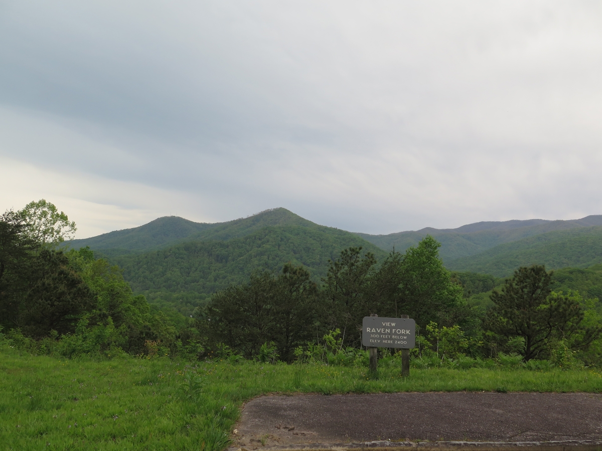
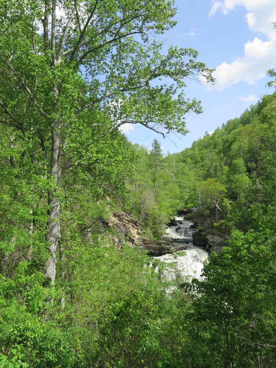
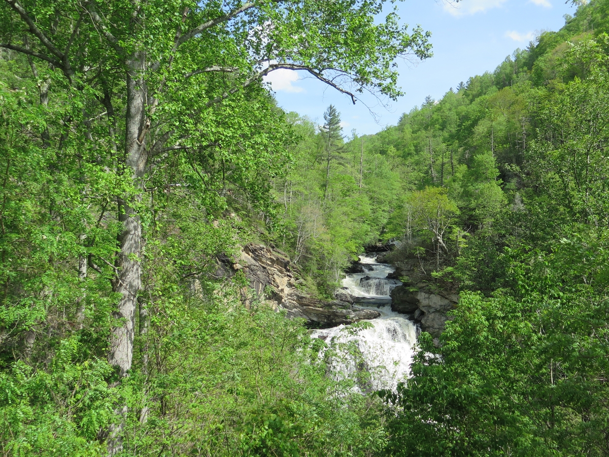
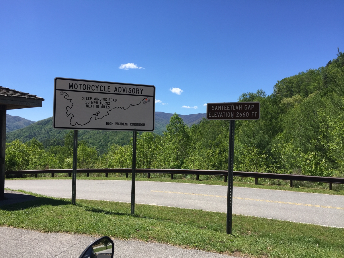
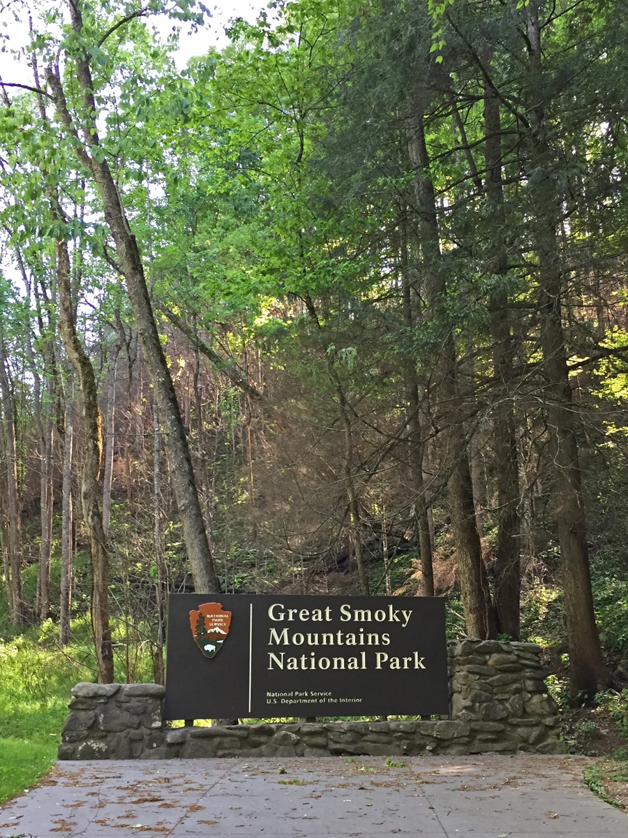
Since I was close to Great Smoky Mountains National Park (GSMNP), and I had yet to make it to Clingman’s Dome — highest point in GSMNP — I figured that would be a good destination. Once it did start raining, I told myself, I’d be close to shelter.
It didn’t take long at all — 20 minutes? — for me to reach the park entrance, which is near the southern terminus of the BRP. Unfortunately, when I did, I was greeted by a sign proclaiming US-441 to be closed. The Oconaluftee Visitors Center is just inside the park entrance, so I went in to find out exactly where the closure began, hoping I could reach the summit. But it was not to be.
“Actually,” one of the rangers manning the desk told me, “the Tennessee side of the park is currently being evacuated.” What?!?
The weather on the Tennessee side of the park was much worse. There were reports of trees down all over the place, falling on people and cars.
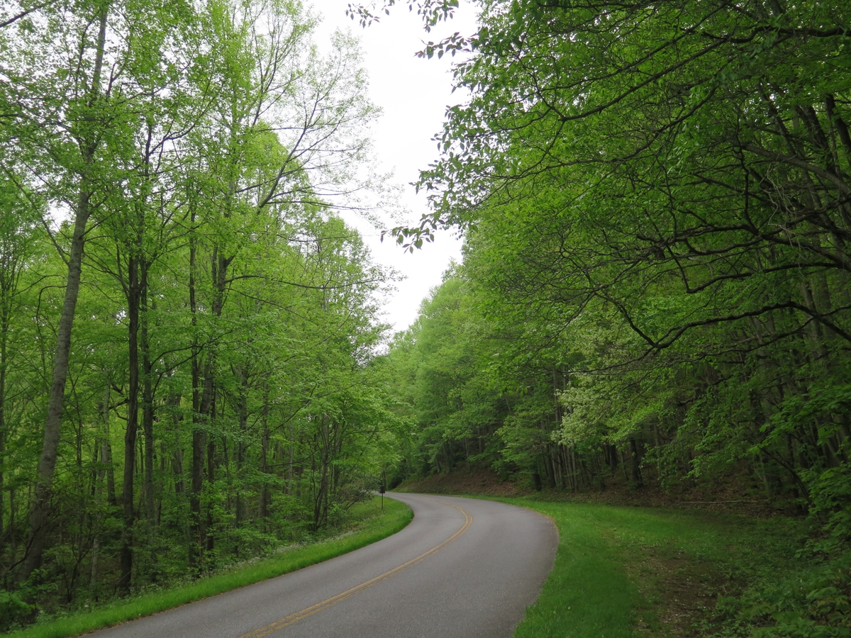
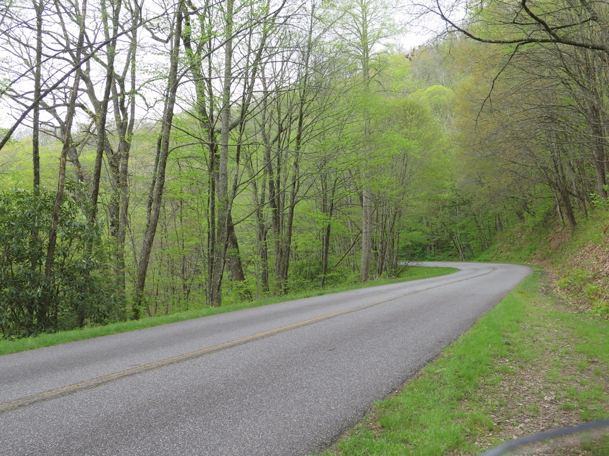
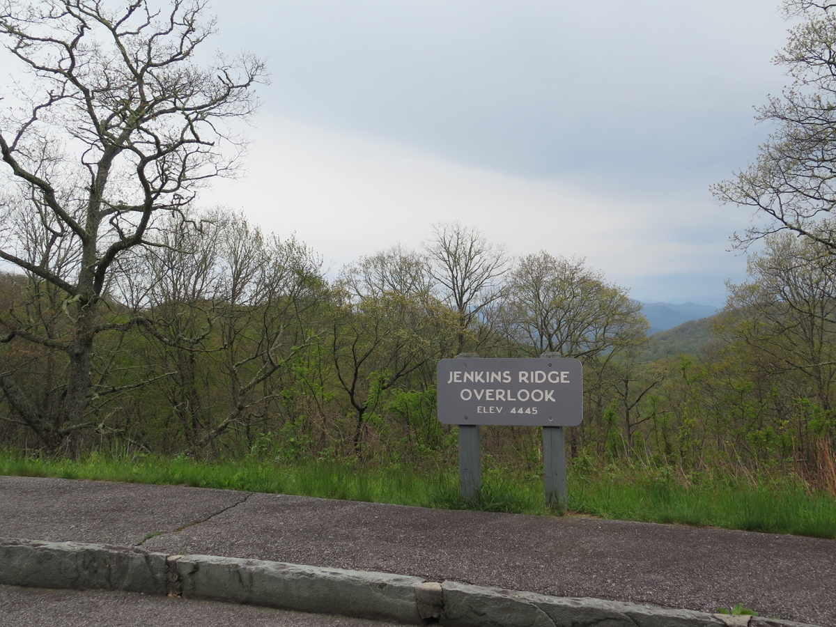
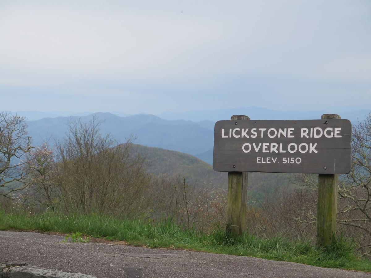
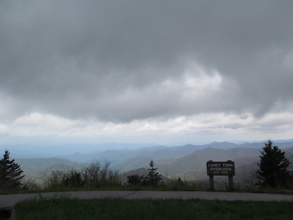
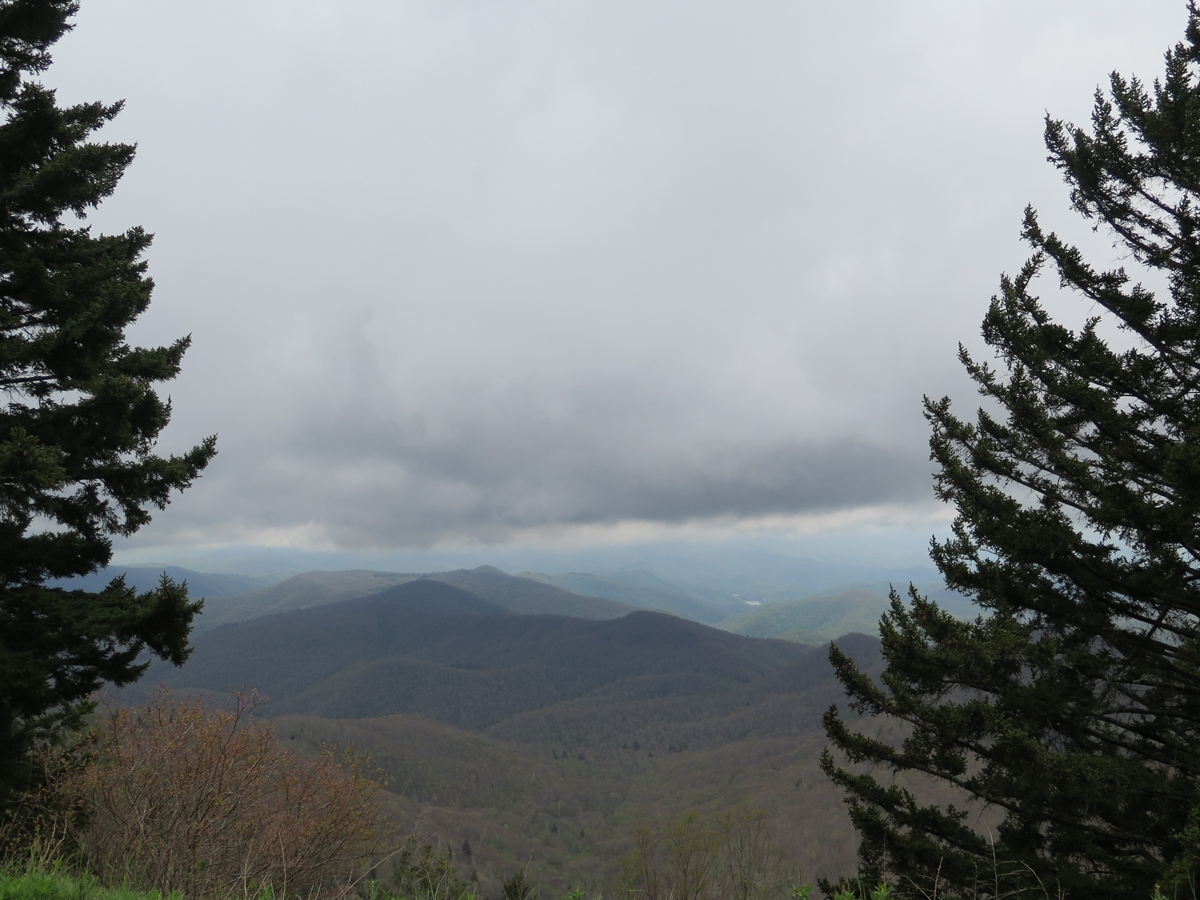
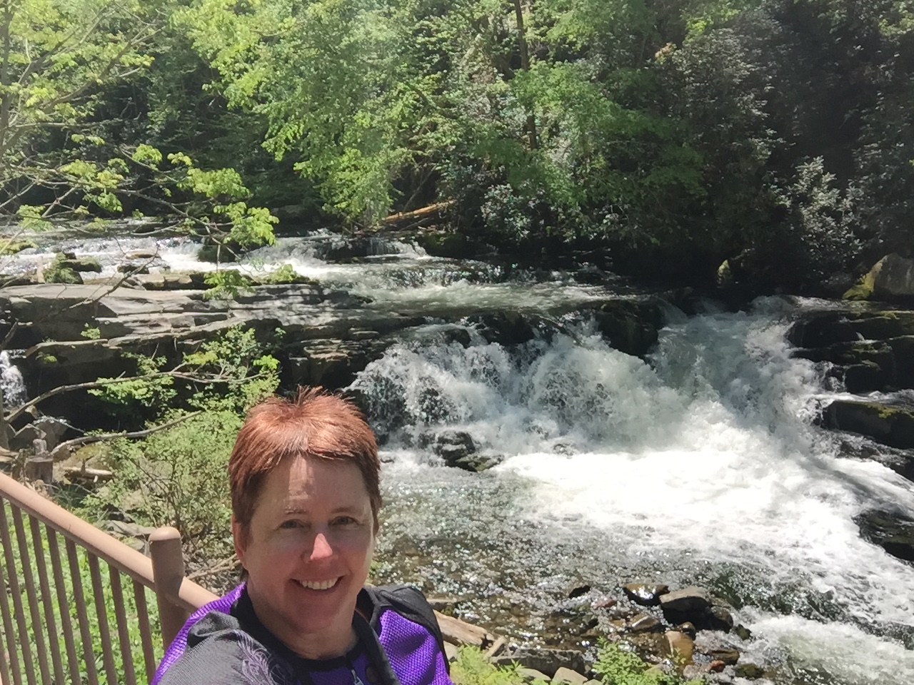
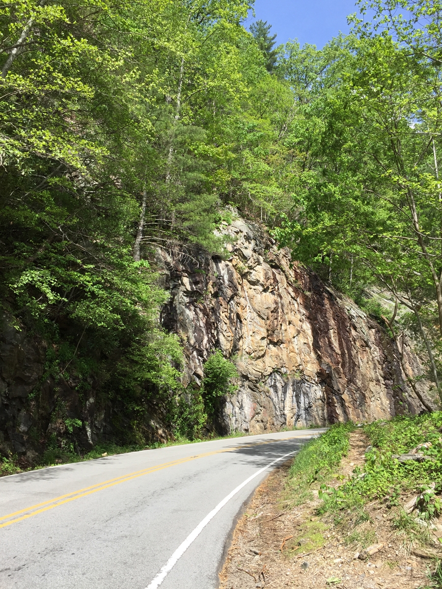
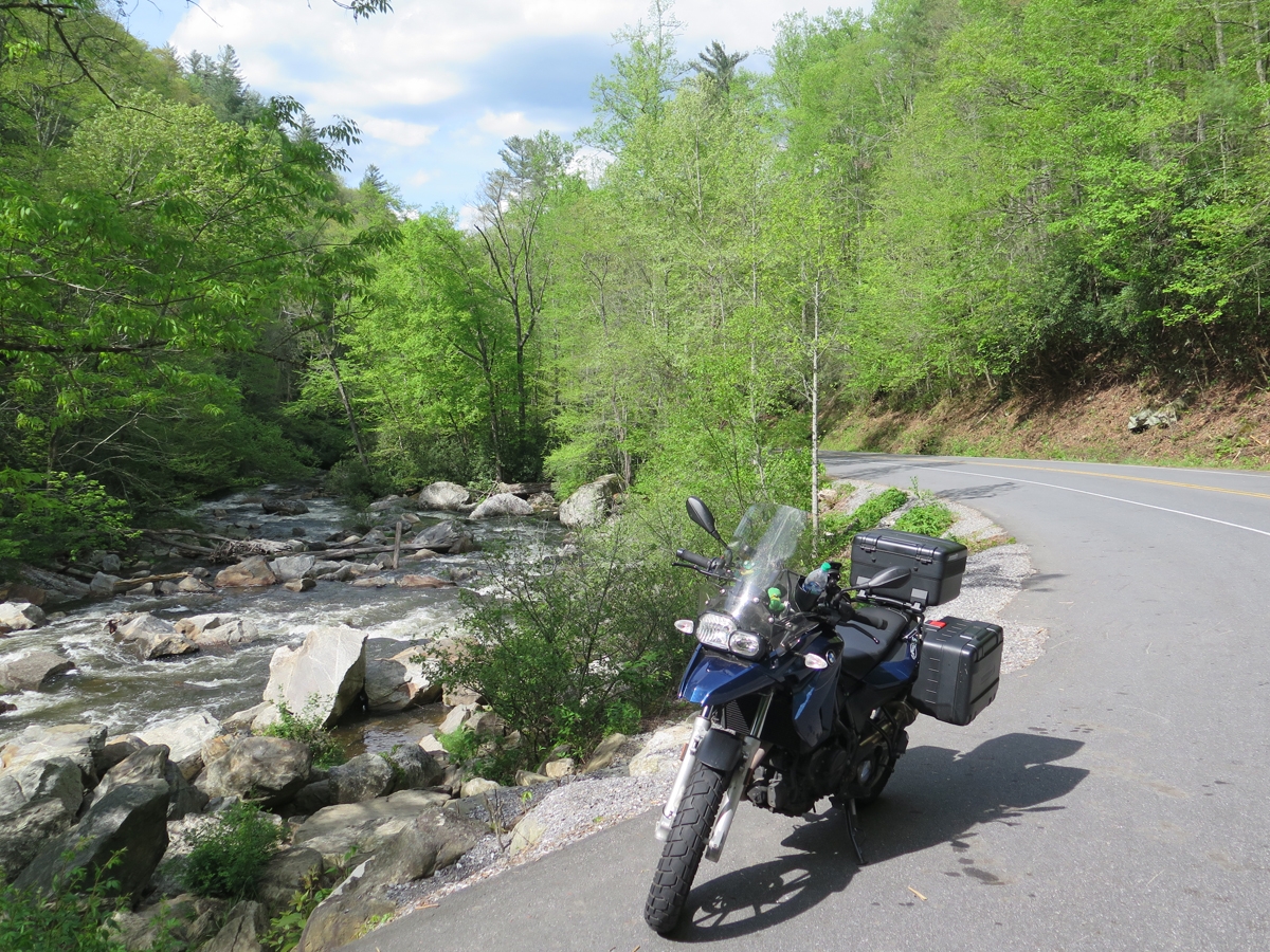
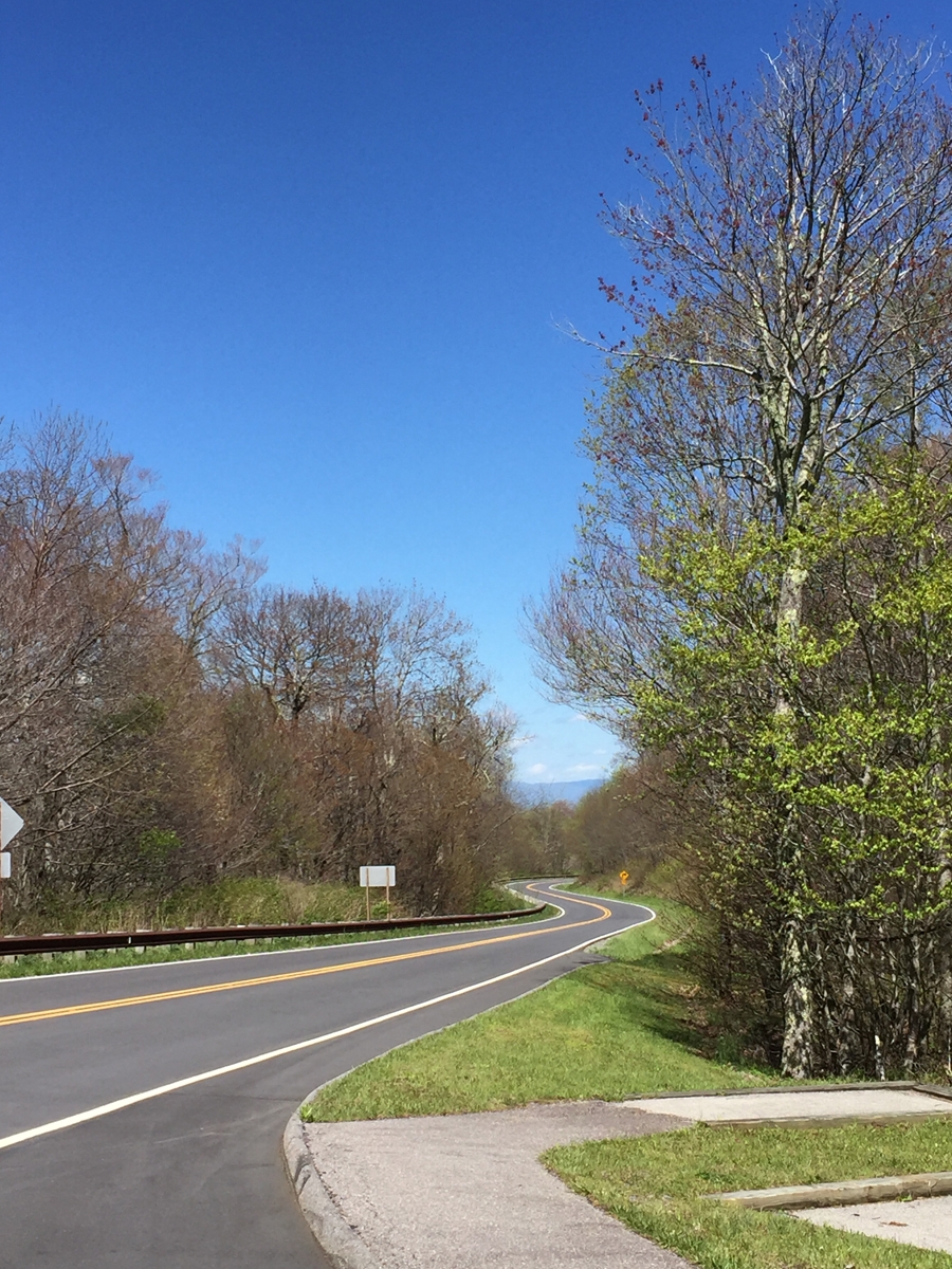
So I headed back toward Maggie Valley. I couldn’t resist stopping for some pics along the way, figuring I might as well make the most of my outing while the weather held. Here are some snapshots I judged to be worthy of sharing. Many are grainy because it was so overcast.
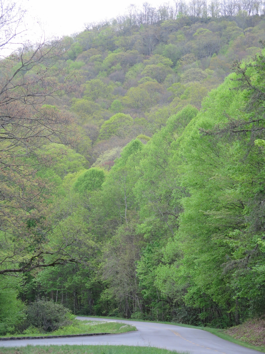
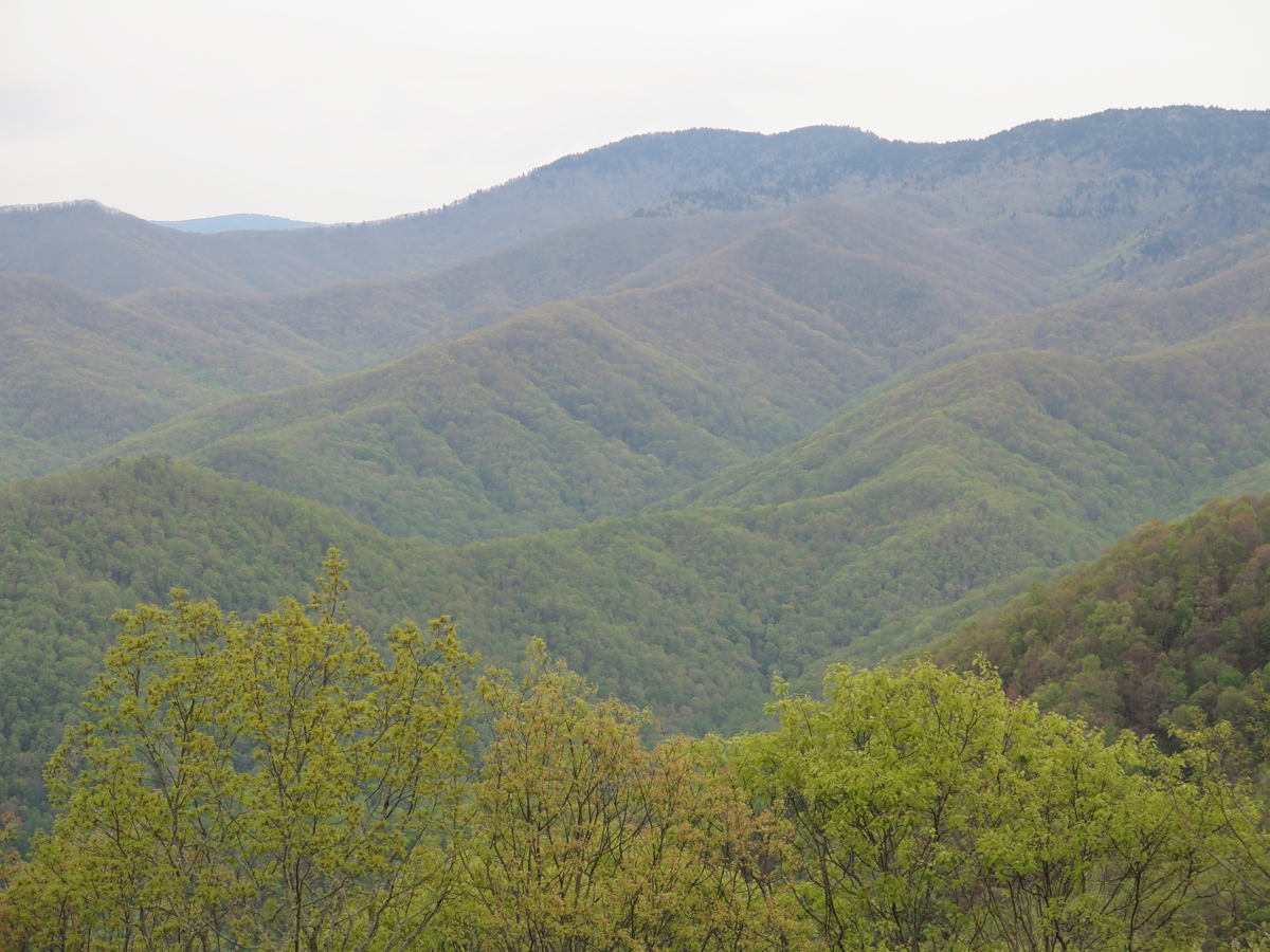
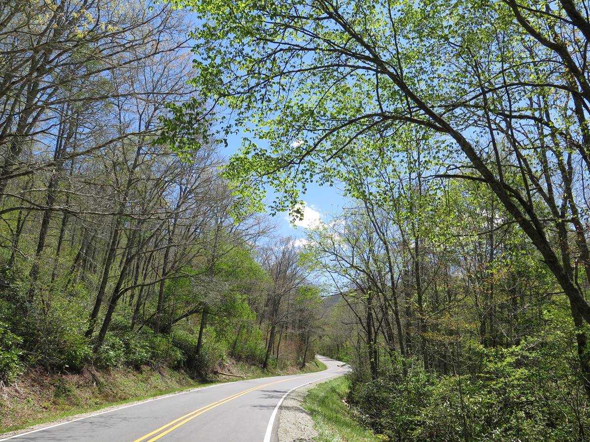
It was interesting to see the difference in the foliage at lower and higher elevations. I hadn’t expected to see so many bare trees. You’ll see the change as I move from lower points near the end of the Parkway, up and into the mountains.
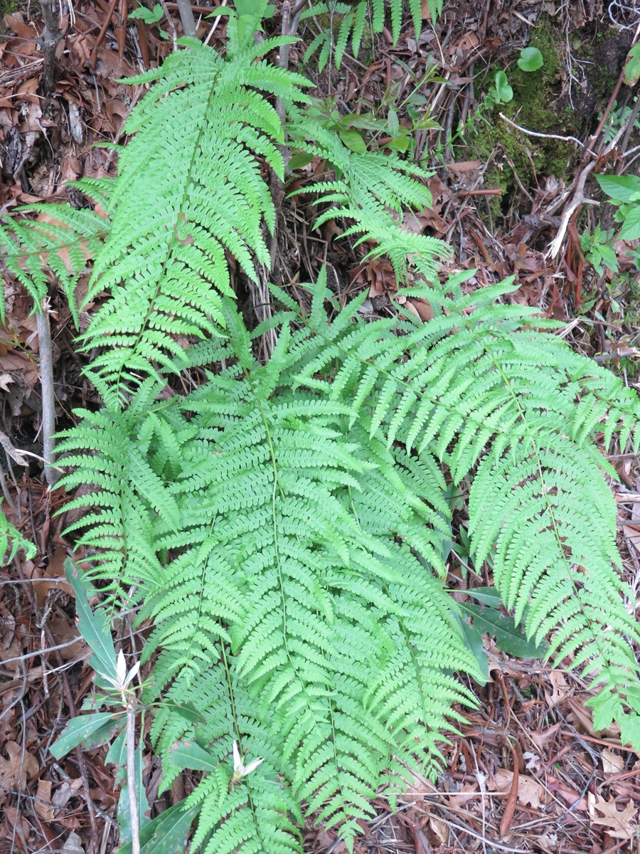
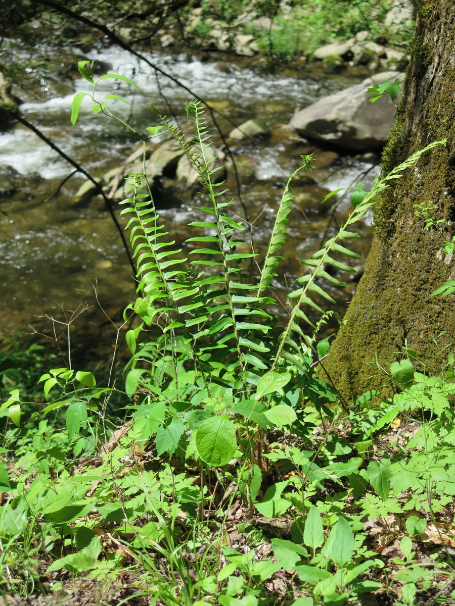
Ferns
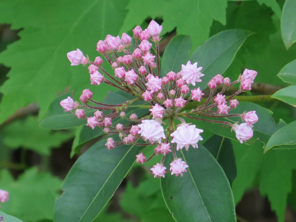
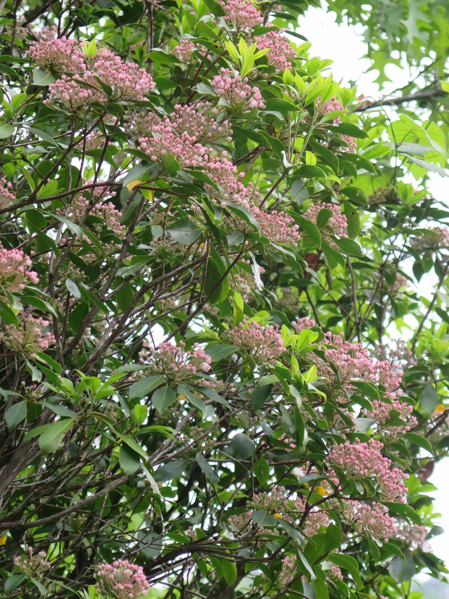
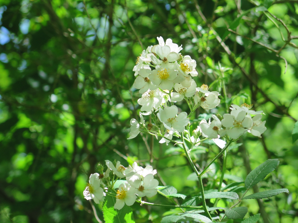
Mountain Laurel
Mountain Laurel
Natural Hearts
Still pretty green, right?
Looking a bit browner.
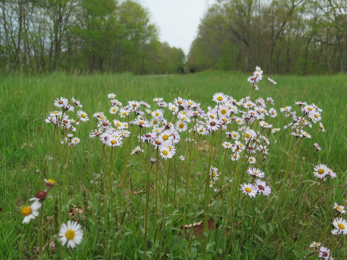
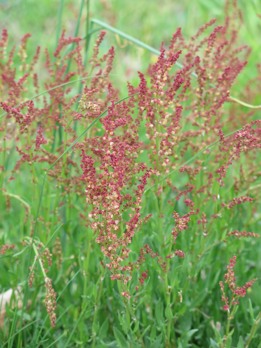
Teeny Tiny Little Blossoms
Green at lower elevations.
The hilltops were still mostly brown.
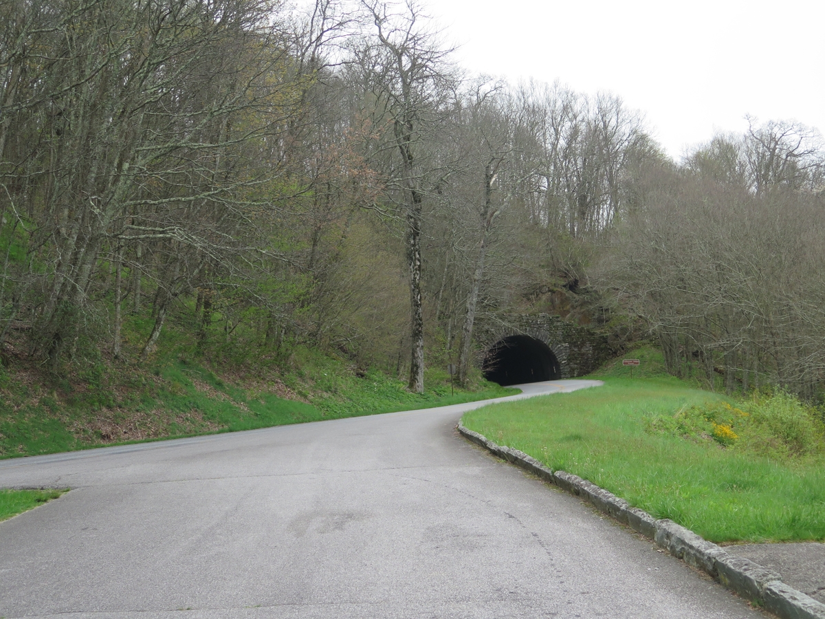
Odd name for a tunnel.
You can see the sky getting grayer.
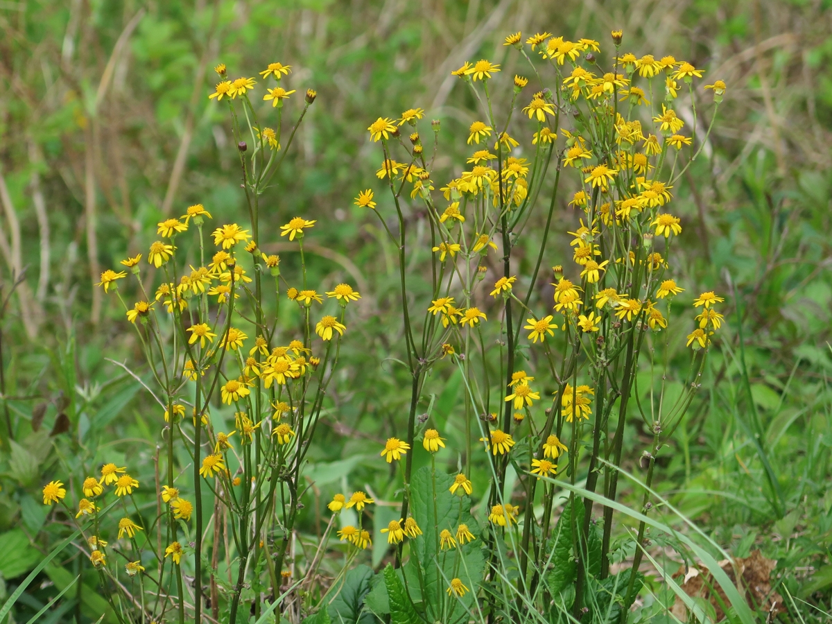
Pretty little yellow flowers.
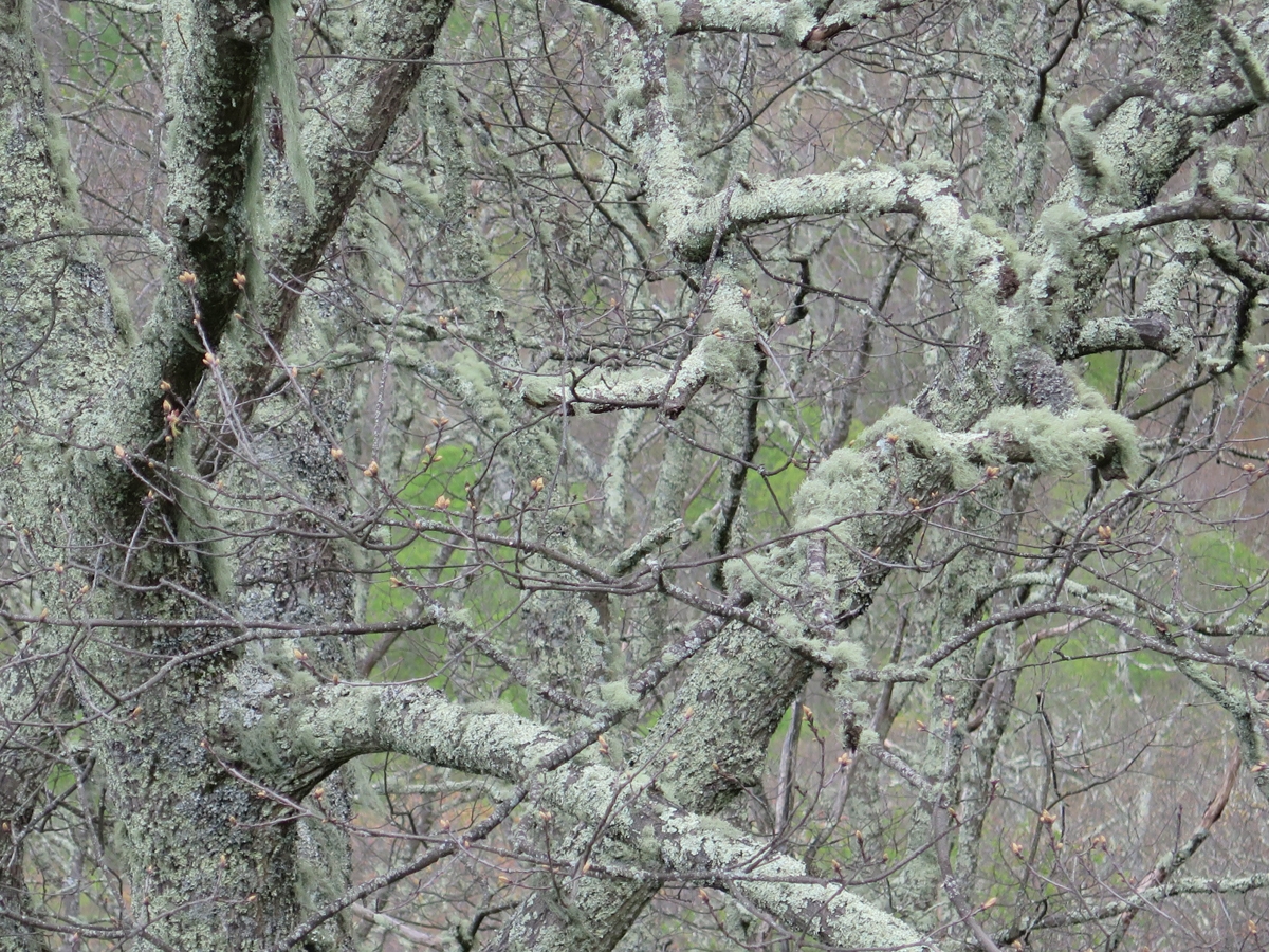
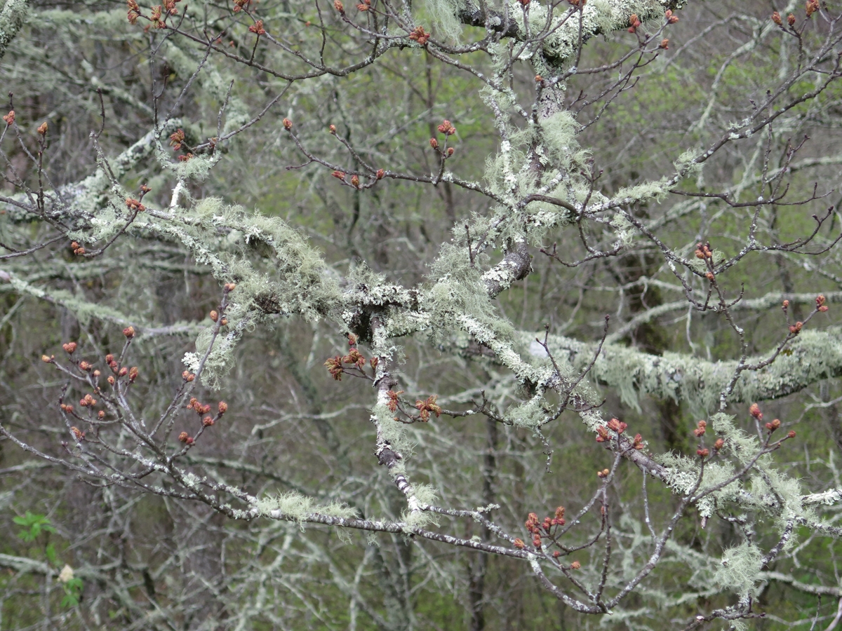
Moss and lichen-covered trees.
Moss and lichen-covered trees.
Not much green at all.
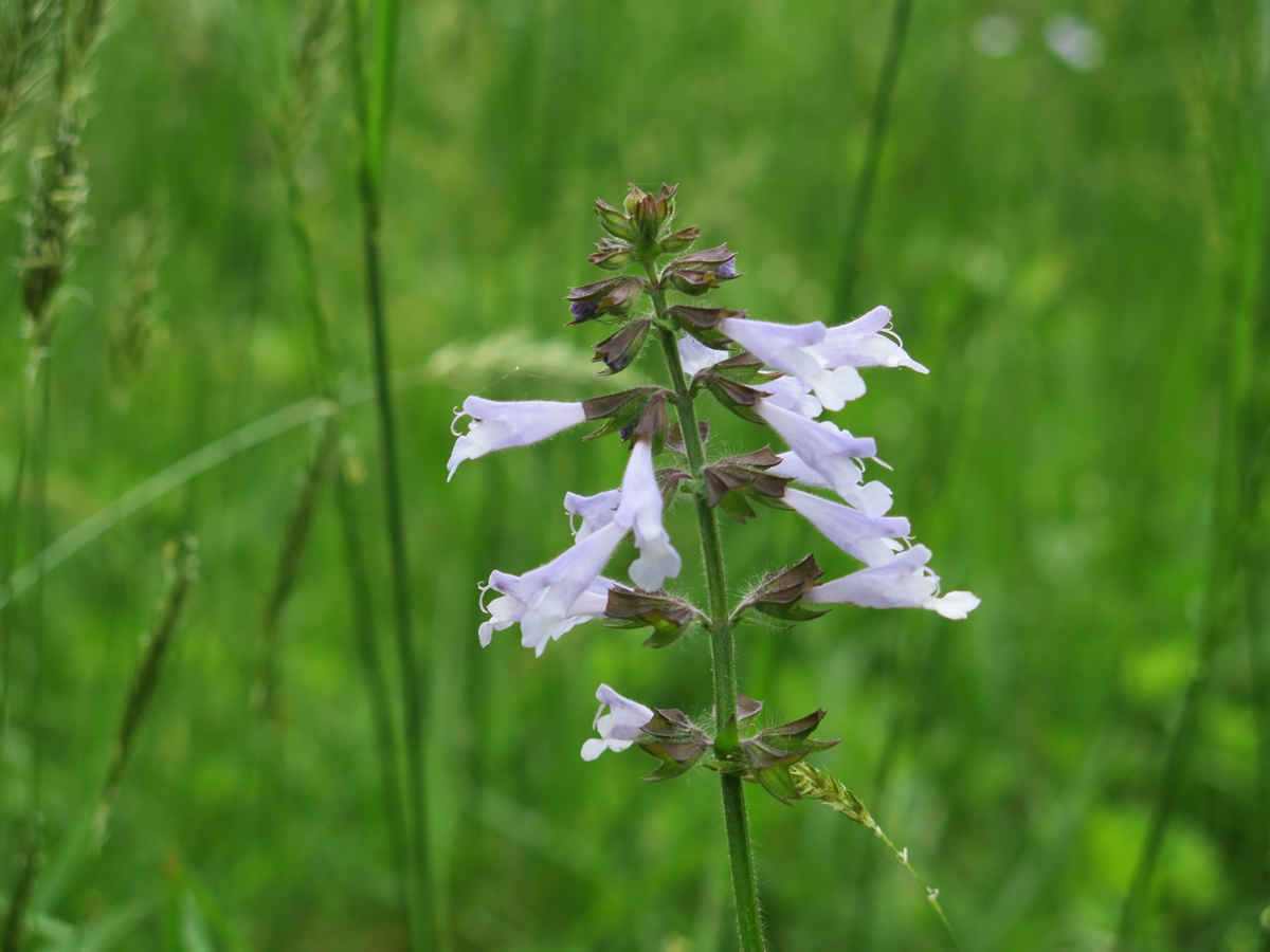
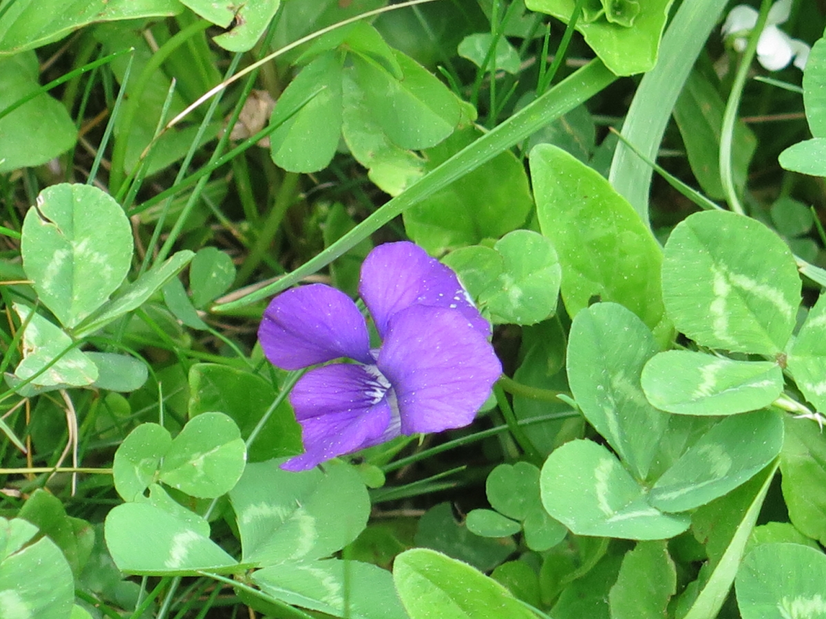
Tiny purple flower.
Wintry-looking.
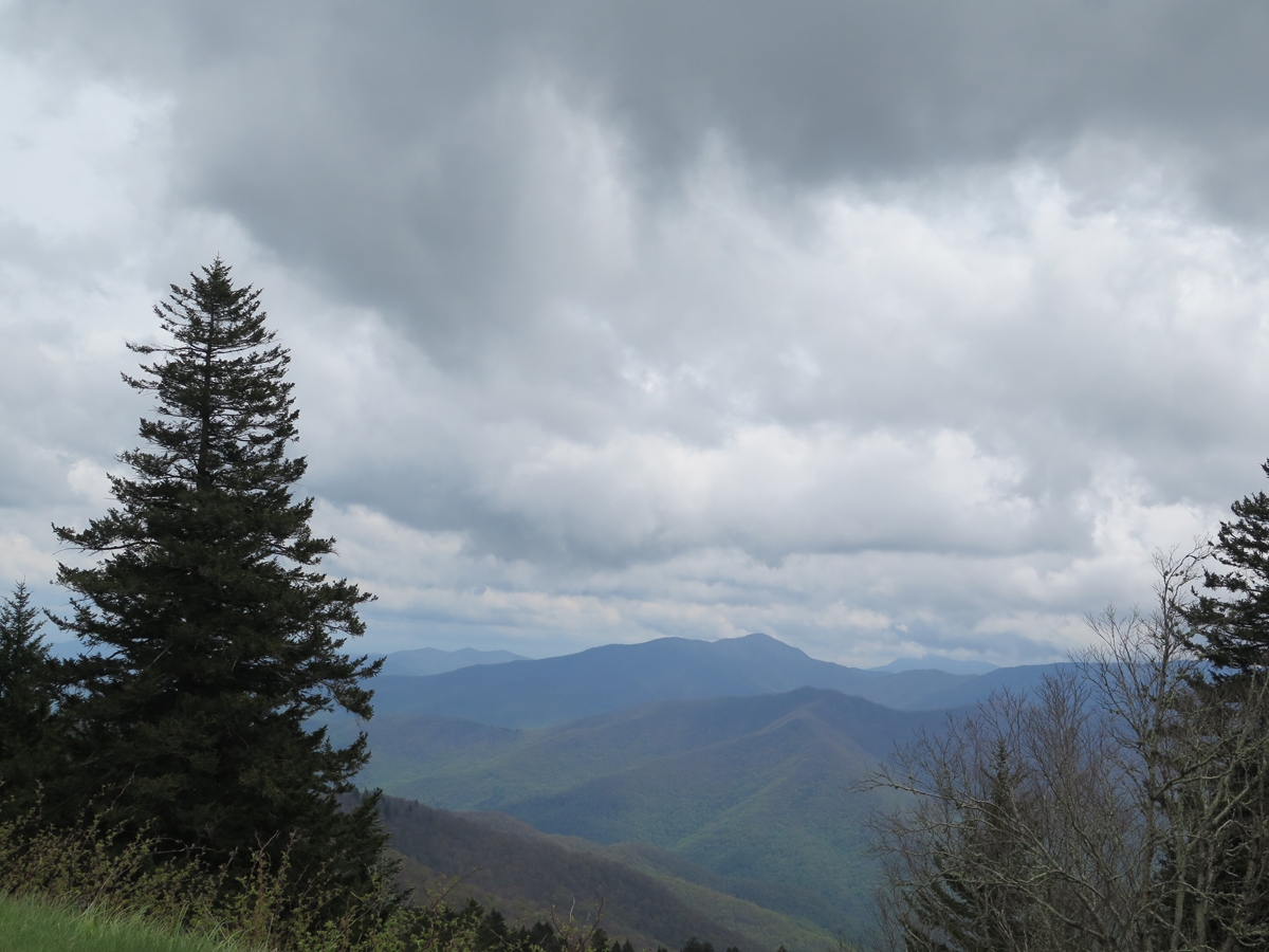
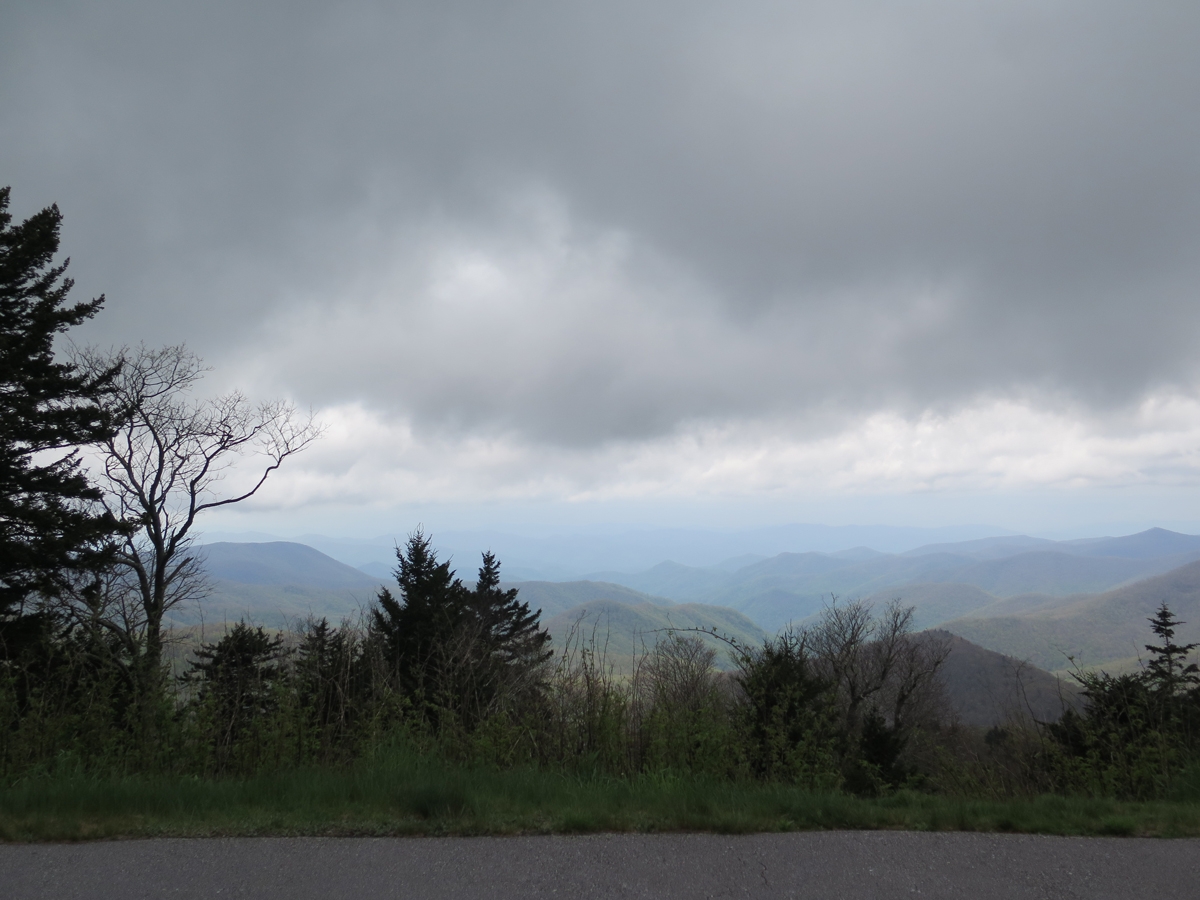
If nothing else, I got to see some pretty cool clouds moving in. It was getting colder, too.
Menacing Clouds
Menacing Clouds
It sure looked like I was about to get rained on.
Cool Clouds
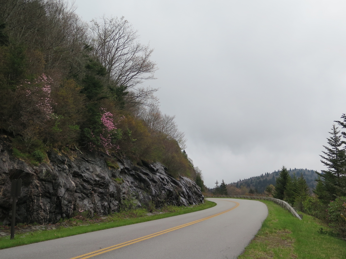
Hints of Pink
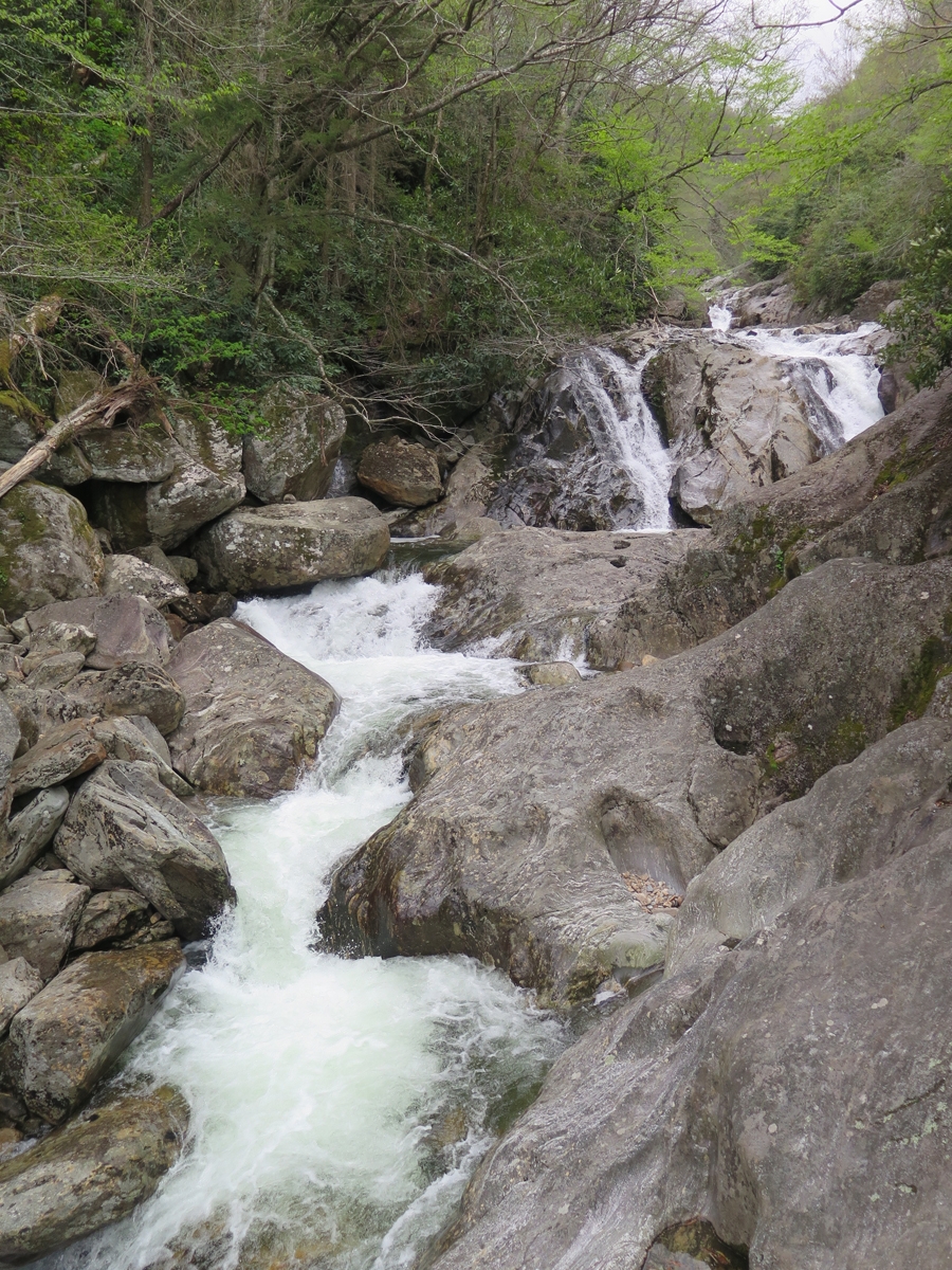
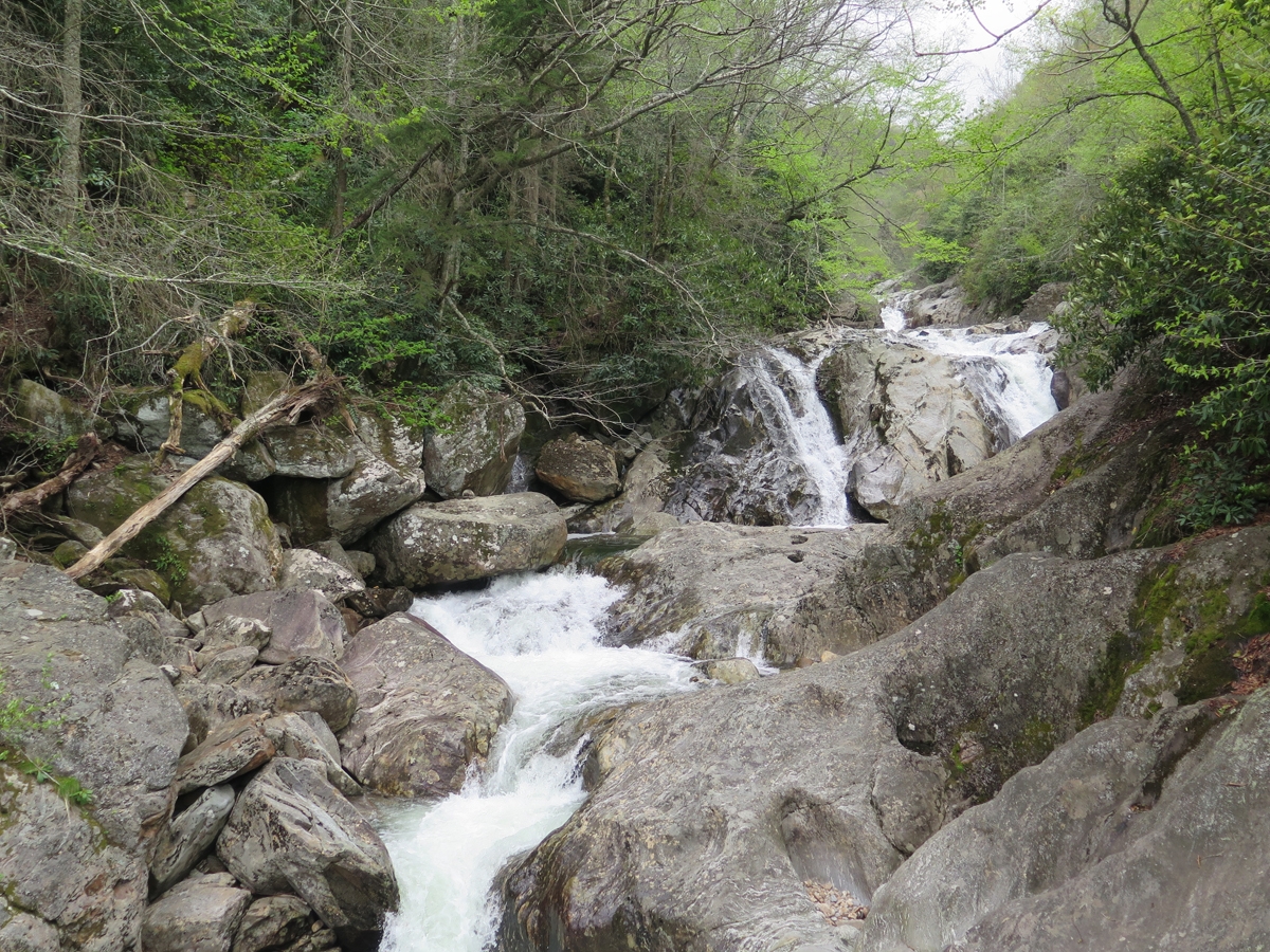
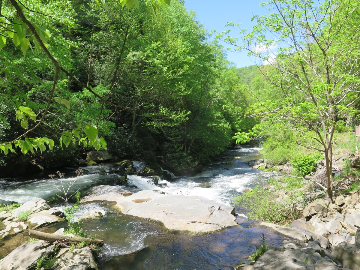
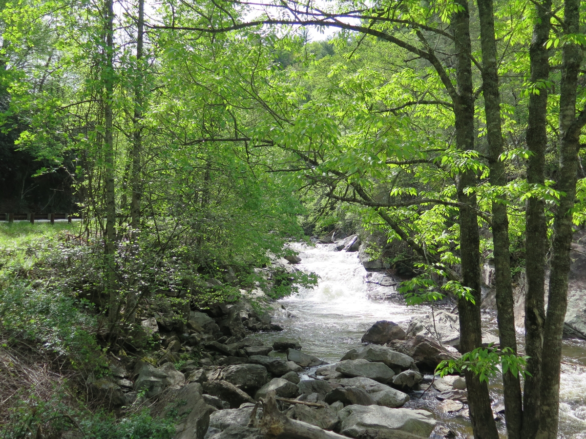
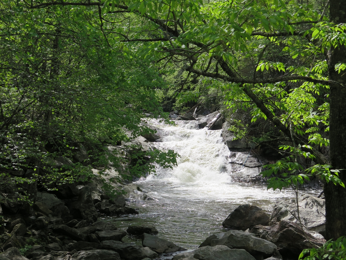
Roadside Cascade
Same cascade.
Temps were in the upper 40s by the time I decided to head back to my motel. So that was my morning.
Final note… this post has been in the works for a week. I caught a stupid head cold/upper respiratory think that’s had me coughing/hacking/gagging and blowing my nose for a week. As an extra bonus, each day ended with a pounding headache, too. Last night’s was so bad, I thought maybe I was dying. Needless to say, we didn’t do any riding over the long, holiday weekend. Maybe this coming weekend I’ll feel better.
I have yet to mention long-range weather forecasts and the impact they sometimes had on each day’s planning. A little bit of bad weather can be tolerated. Major storms, on the other hand, must be given serious consideration. That morning, as a major storm was bearing down on the area, I decided to plan ahead more than usual to find a good spot where I could hunker down for a few days. I’d thought Bryson City, where I’d spent the previous evening, might be a good spot. It was close to eateries, shops, and stuff, but the hotel was a bit further from things than I would’ve liked, and on a pretty steep hill.
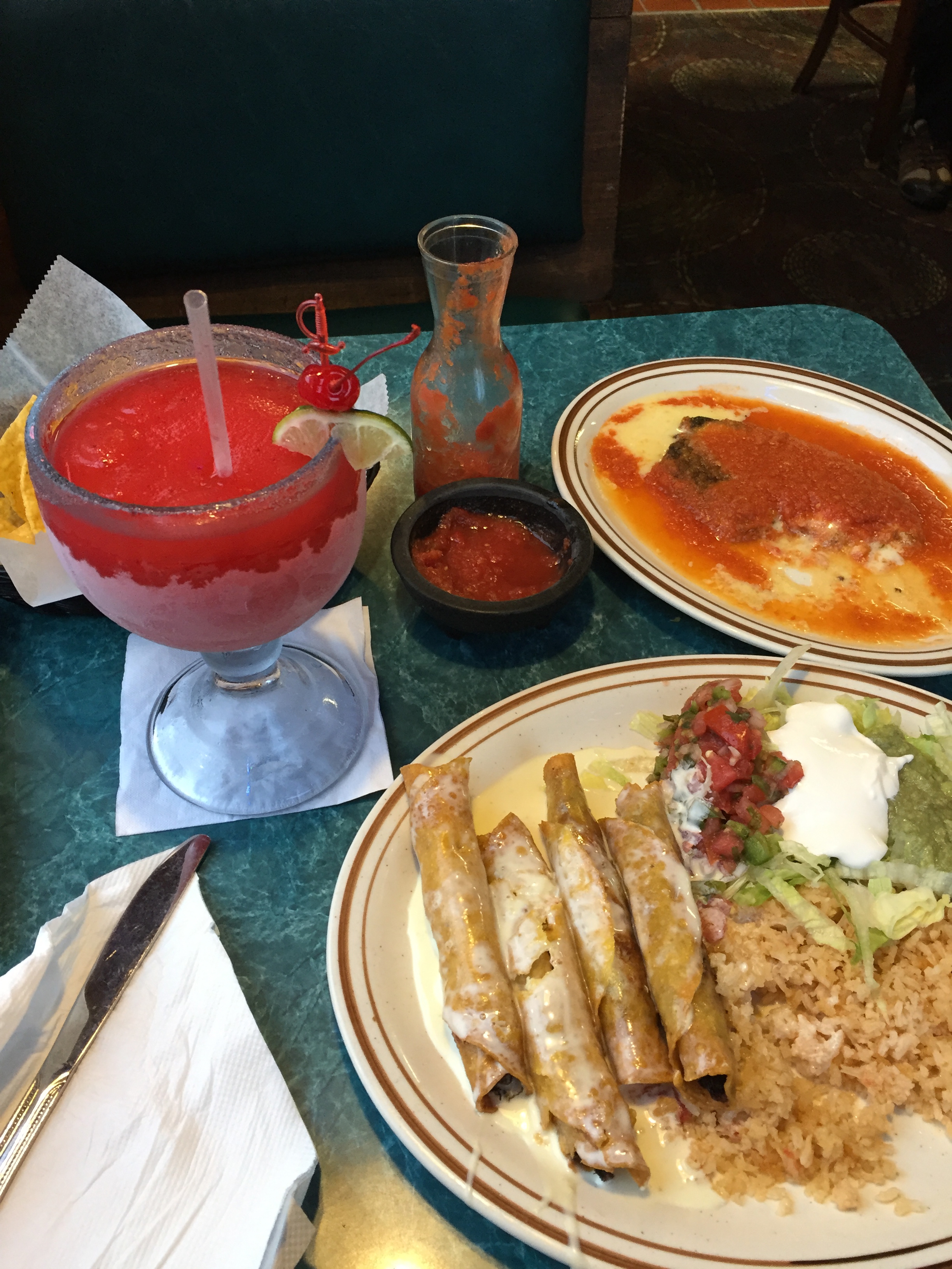
After a bit of research, Maggie Valley is the spot I chose. I even booked a motel room for two nights. The motel I selected was close to several restaurants, shops, and other attractions, inexpensive, had great reviews, and a Mexican restaurant within easy walking distance. Not only would I not have to worry at day’s end about where I’d be sleeping, I would have a margarita to look forward to as well.
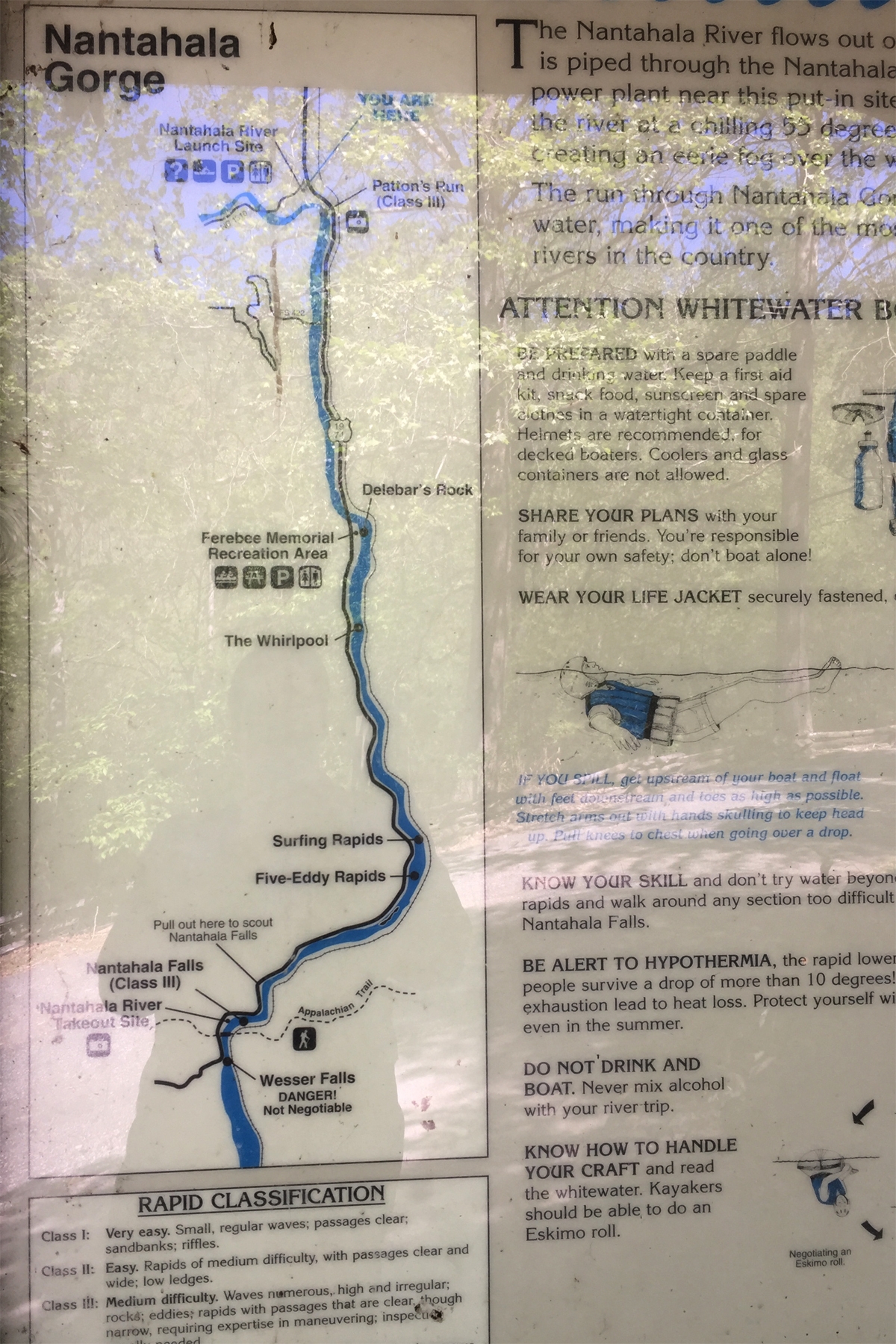
Although storms were expected to move in that evening, the weather was absolutely perfect that morning as I set off for the Nantahala River Gorge.
All of the previous images were captured along the relatively flat US-74/US-19 south of Bryson City. The next several images were captured along the hillier Wayah Road.
It was SUCH a lovely place.
All of those scenery pics MIGHT make you think the road wasn’t very good. It was actually excellent.
Where I’d Been
Where I Had Yet to Travel
Different section of road (exact location forgotten).
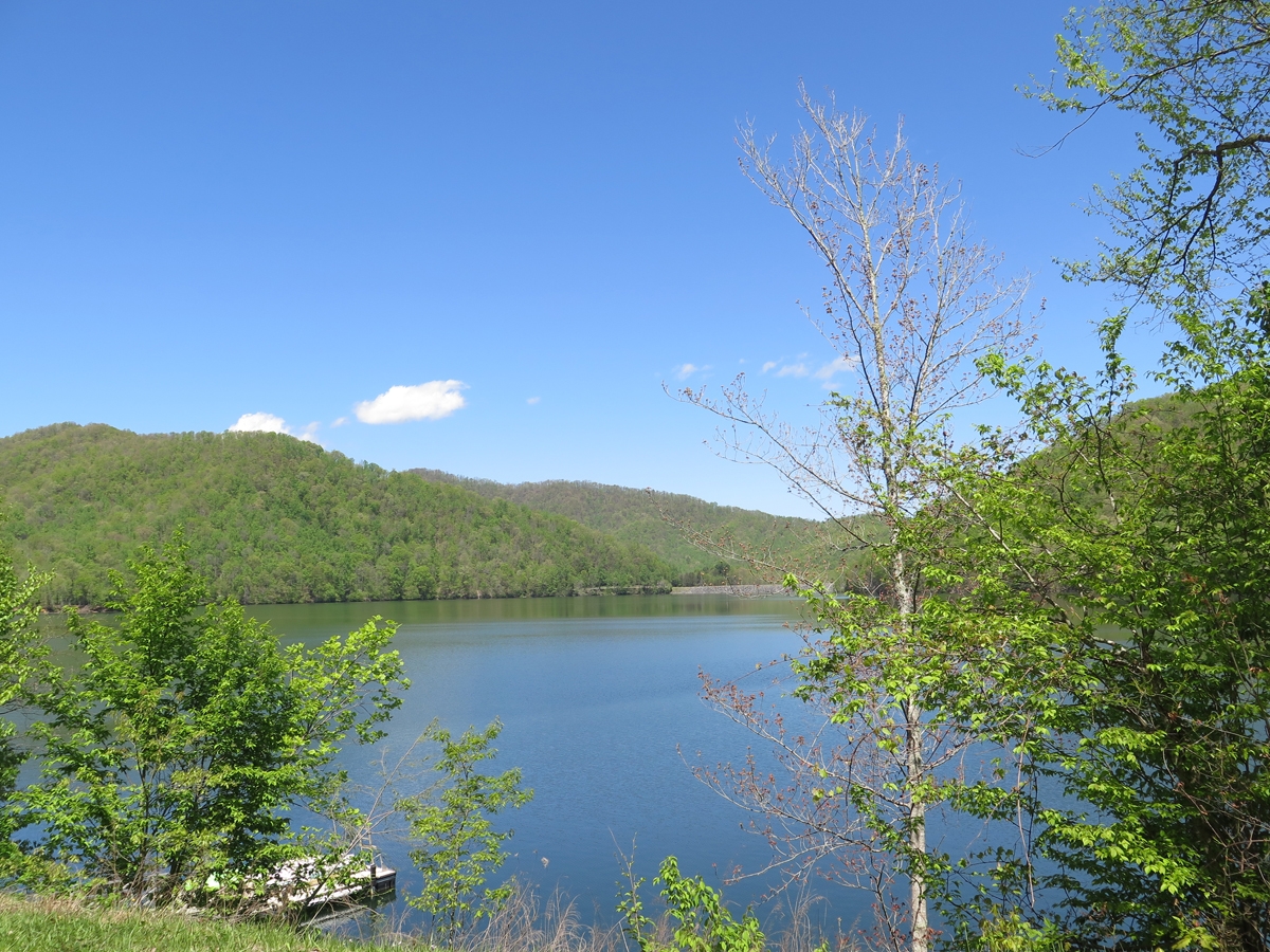
The road was so nice, I sort of lost myself in thought. Before I knew it, the lovely river, with all its cascades and waterfalls was replaced by a beautiful little lake.
I think I might be happy living in Western North Carolina. Until tourist season hit every year. Which reminds me…
According to the National Park service…
Great Smoky Mountains National Park covers 522,427 acres, divided almost evenly between the states of North Carolina and Tennessee. [There were] more than 11.3 million recreational visits in 2016. (This figure does not include the approximately 11 million travelers on the Gatlingburg-Pigeon Forge Spur.) Highest visitation of any of the 59 national parks. The second most heavily visited national park is Grand Canyon with 4.6 million visits, third is Yosemite with 3.8 million, fourth is Yellowstone with 3.2 million.
That doesn’t include all of the motorcyclists who flock to the region or people who go there to visit other area attractions, like the many rivers and lakes, Dollywood, etc.
In other words, it can get crazy-busy. I was there during the off-season, which is why it looks so empty. I’d be willing to bet that, were I there in mid-July, the roads would be clogged with traffic. Overlooks/pull-offs would probably be so full, I’d be lucky to find a spot on the bike, much less in a car. There would be LOTS of loud-ass cruisers (I will never understand the appeal of that noise). In short, it is probably a place to avoid. Unless you like that sort of thing.
I stopped in Franklin for lunch. While I ate, I was looking at several route options, but decided to stick with my original plan. Unfortunately, I didn’t realize Google maps had “lost” my original plan until I was rather far rom where I was supposed to be.
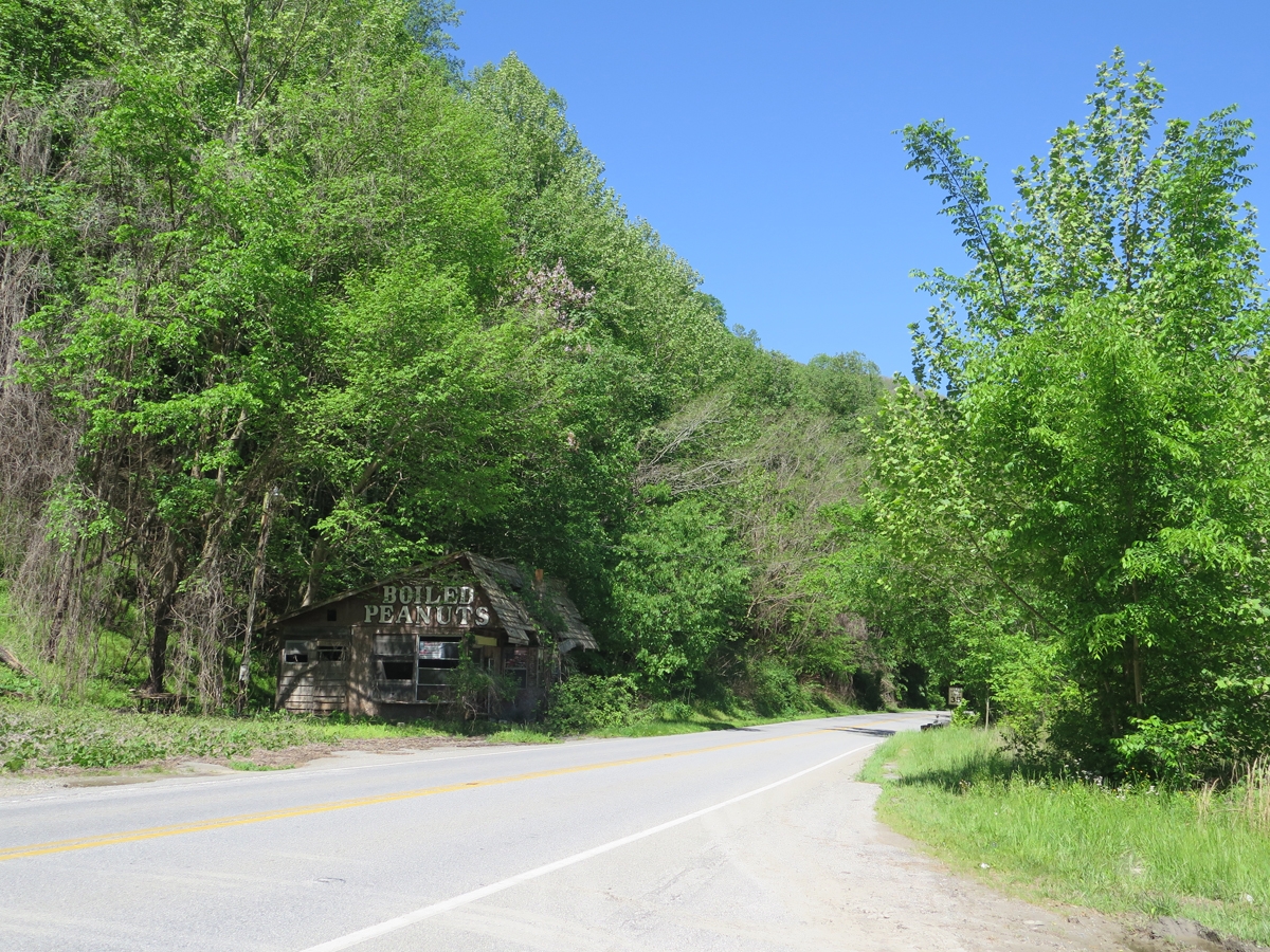
Instead of backtracking the way I’d already traveled, I quickly selected an alternate route. That’s how I happened upon this.
In retrospect, I should have gone in. But the weather was too perfect to waste even a few minutes of ride time.
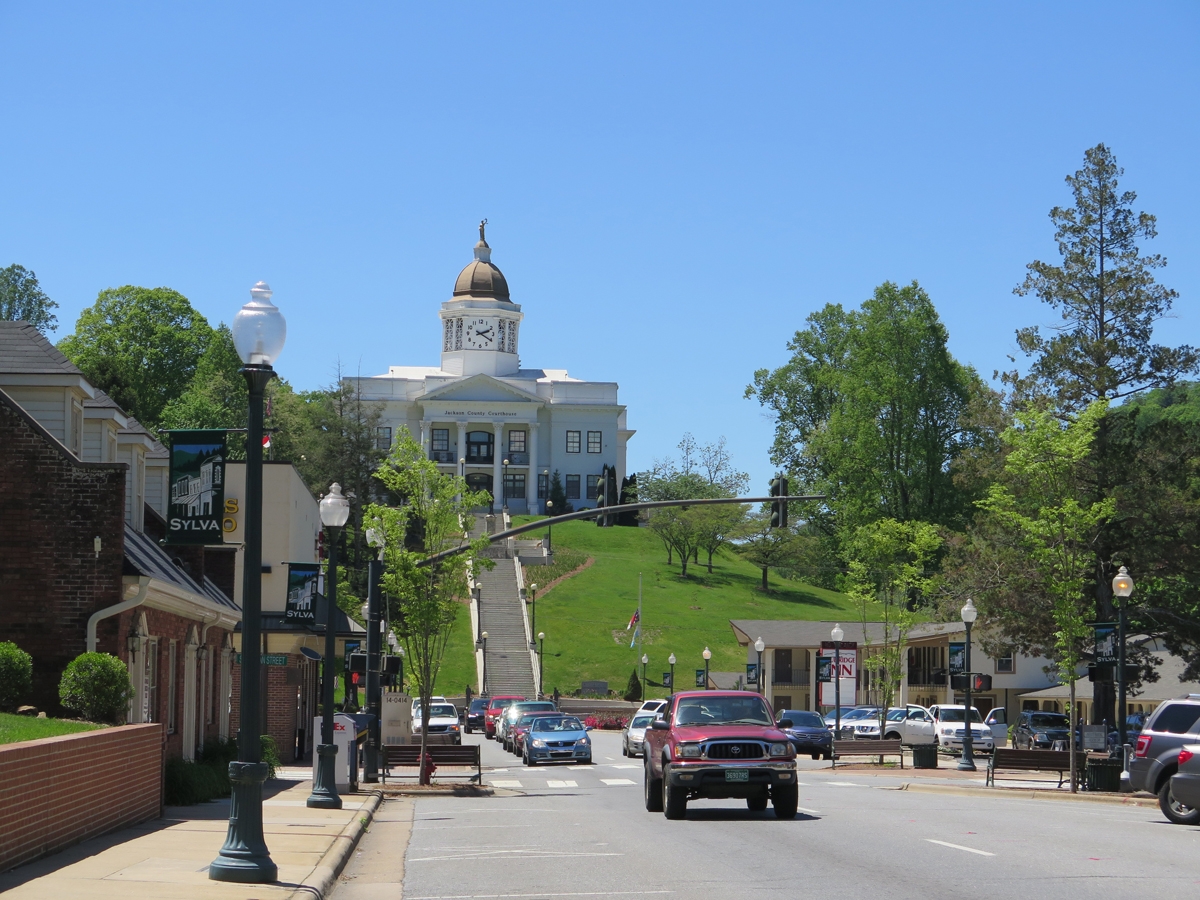
Sylva, North Carolina
Sylva, North Carolina
Getting to see downtown Sylva, albeit briefly, was a happy accident.
I finally got back to the section of Moonshiner 28 I’d meant to hit, but riding in the opposite direction than originally planned.
Holy cow was I glad I had decided to backtrack. The next images were all captured there…
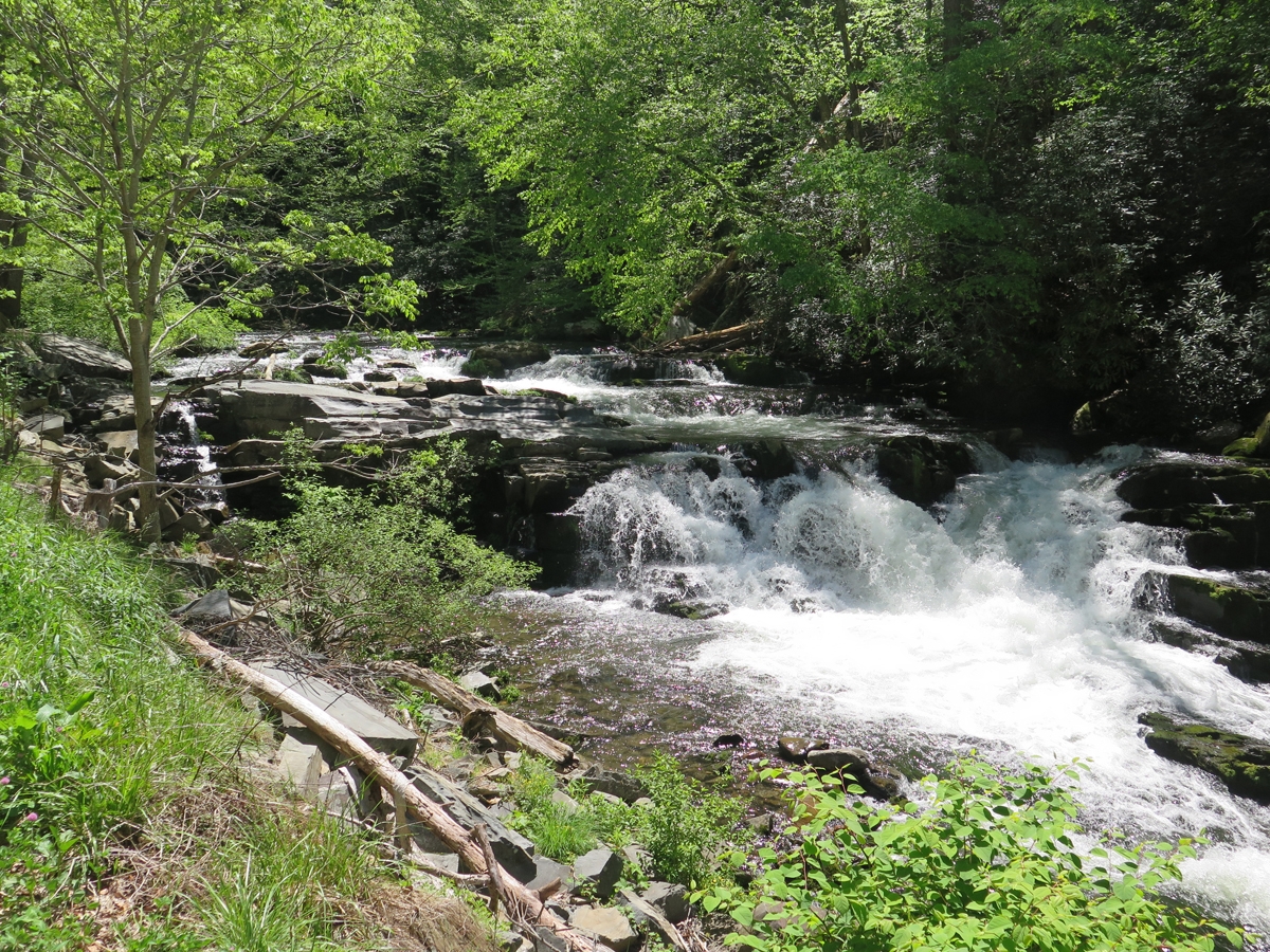
A Cascade (can’t remember name)
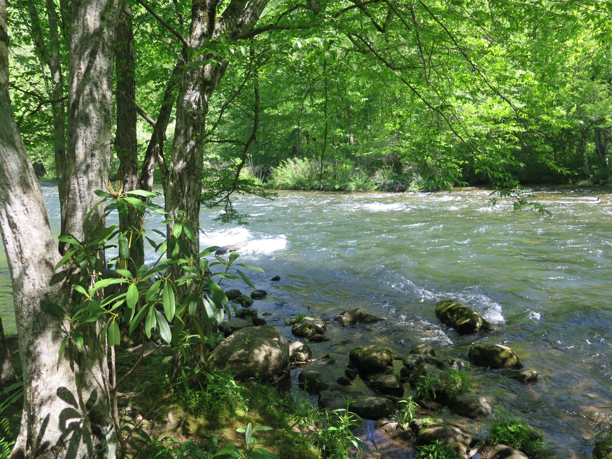
Lush forest surrounds full river.
Closer look at the same cascade.
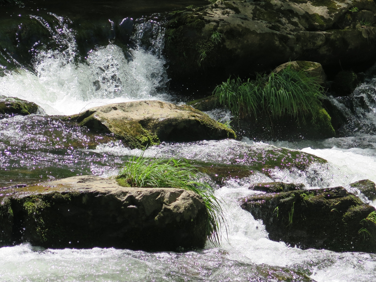
Same road, different cascade.
A closer look because I couldn’t decide which pic I liked better.
But wait, there’s more!
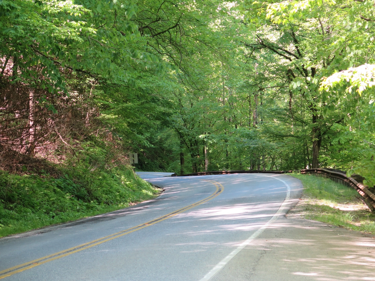
There were actually few pull-offs because the road was so narrow.
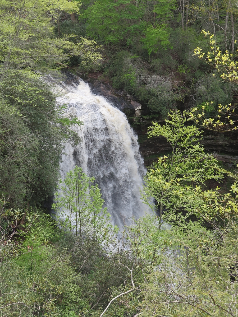
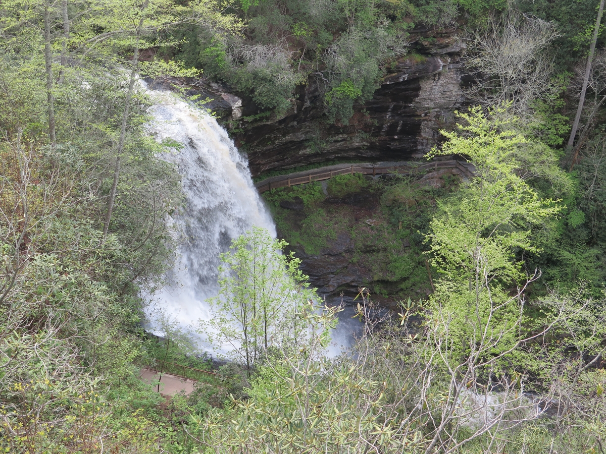
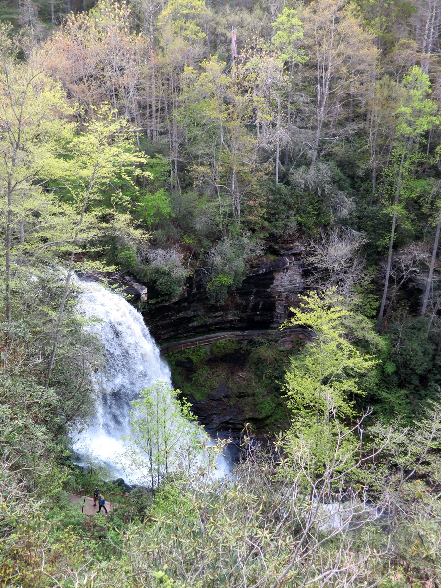
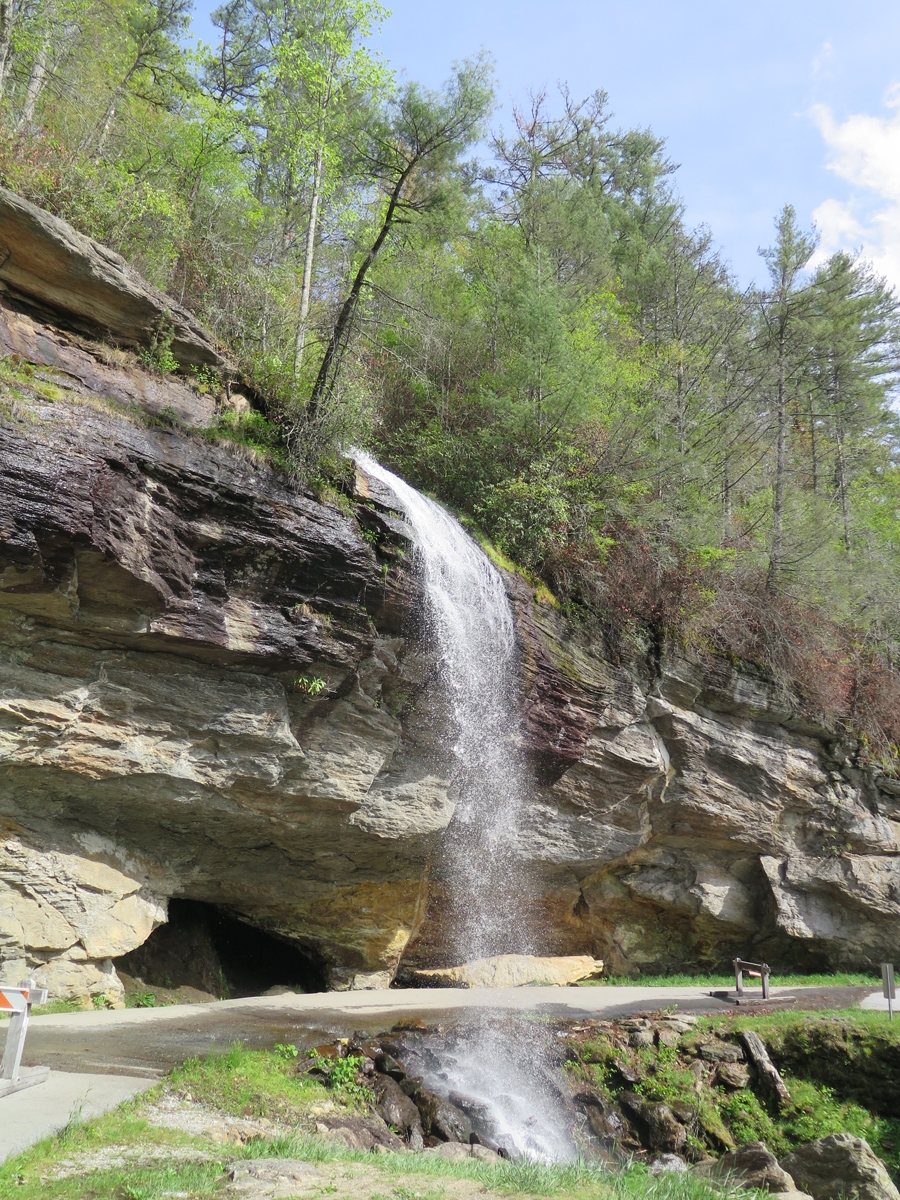
Dry Falls
There was a LOT of water flowing over that waterfall. I could not imagine why it was called Dry Falls.
Why DRY Falls? Apparently you can follow that pathway behind the falls and stay almost dry.
Dry Falls
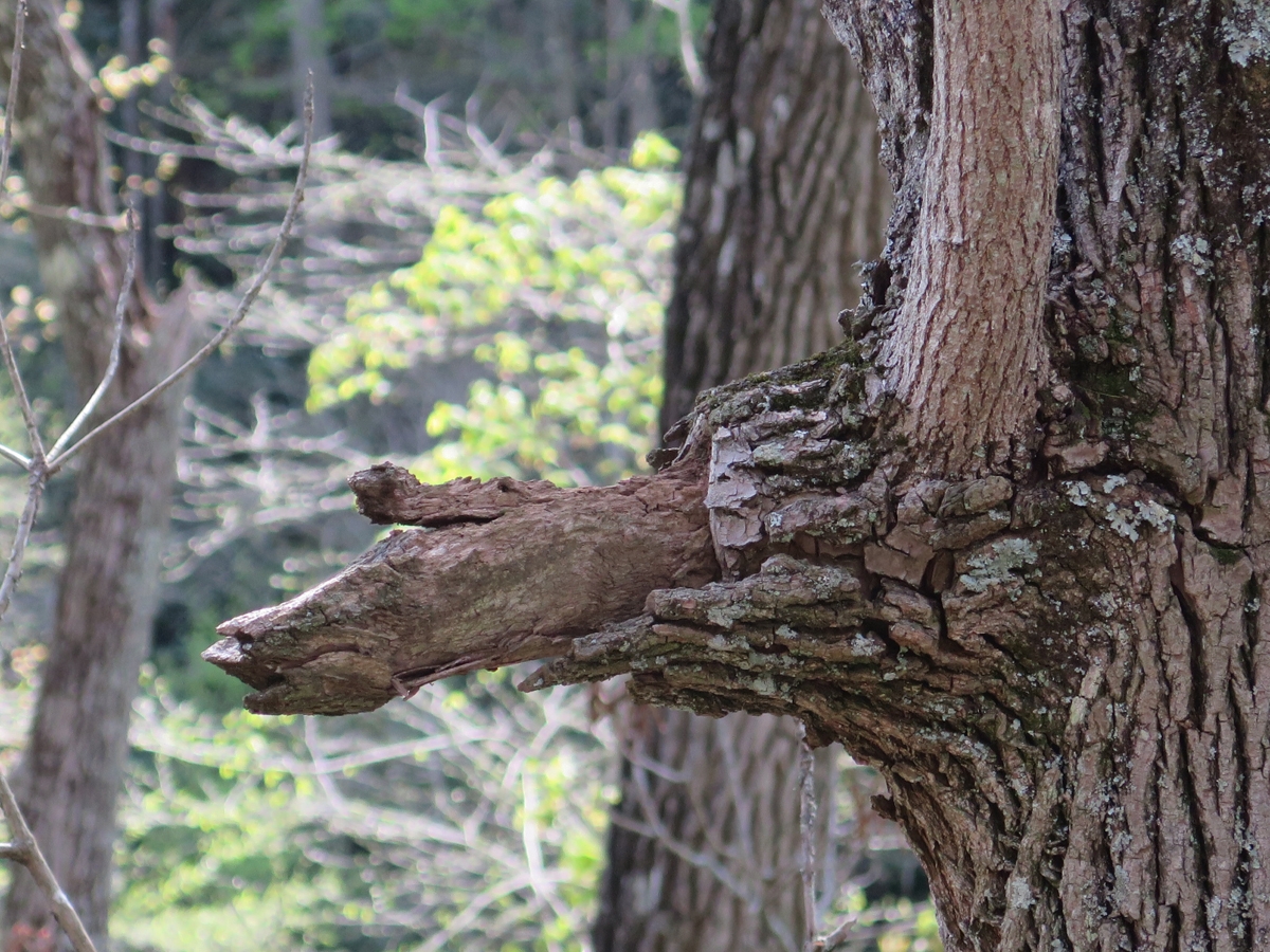
Weird hand growing out of tree!
Waterfall Close to Road
See what I mean about the road?
The road was actually so nice, I repeated a large section of it “for Hubby” and then decided to continue with the route I’d originally planned, which took me into and through a section of the Pisgah National Forest, up to the Blue Ridge Parkway, and eventually to Maggie Valley.
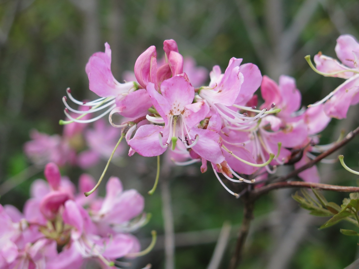
As the road climbed toward the BRP, I started seeing flashes of pink. I HAD to stop for a closer look.
Wild Pink Azaleas
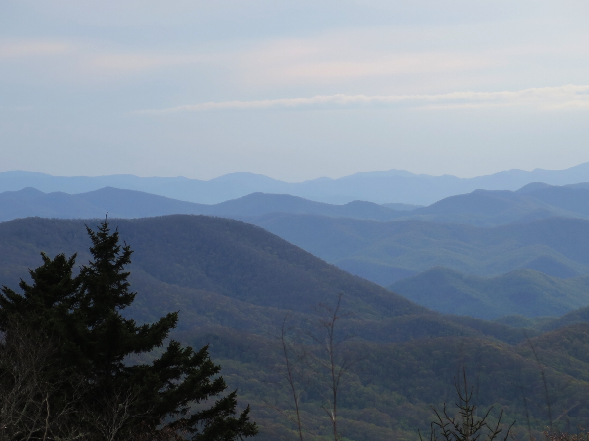
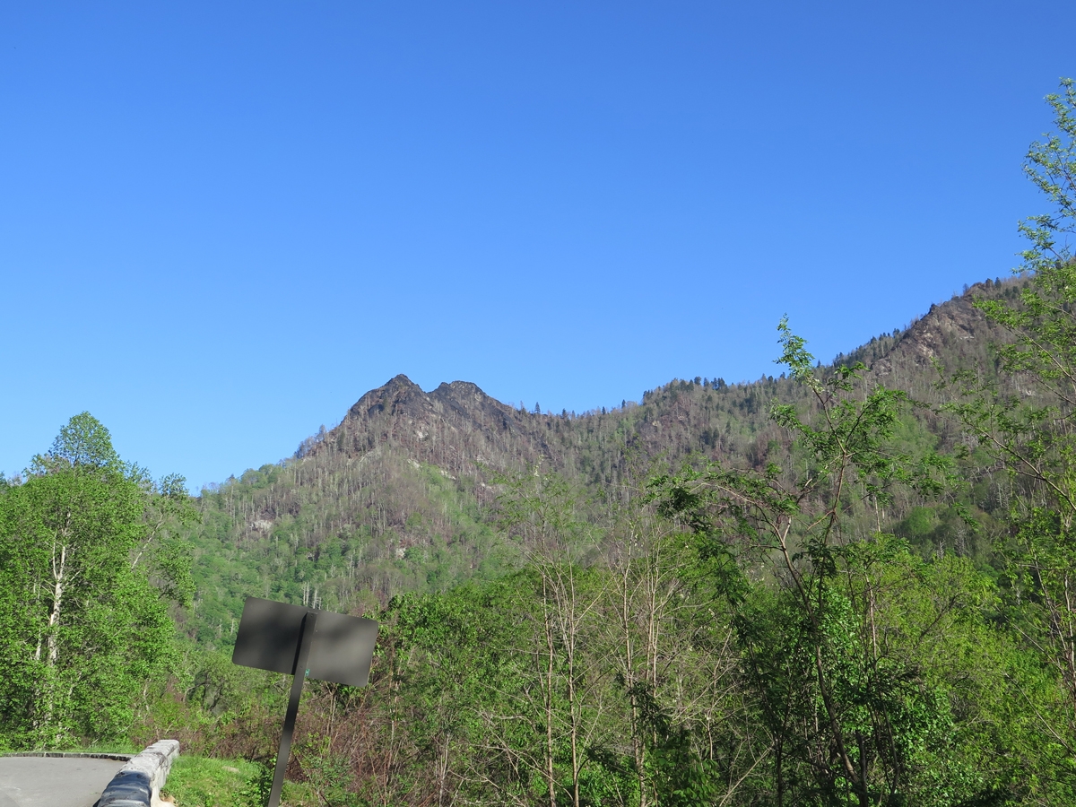
Many trees were still brown at higher elevations.
Pretty end-of-day view.
That last shot makes it east to understand where the “Great Smoky Mountains” and “Blue Ridge” labels came from, eh?
I was exhausted by the time I reach my motel in Maggie Valley. And delighted to reach the Mexican restaurant I’d read about and enjoy the margarita I’d been thinking about, off and on, the entire day.
People who don’t ride motorcycles or drive sportscars don’t always “get” the notion that a road can be a destination. Or that a vacation doesn’t have to include a specific place as a goal.
When I left home, I knew the general areas I might be visiting, but had few specific locations or place objectives. I did have one destination road in mind, however, the Cherohala Skyway. (A “destination road” is a road people travel to specifically to experience. There are actually quite a few destination roads in the Great Smoky Mountains region. All destination roads have a name, not just a government-assigned route number.)
As I planned each day’s route, I kinda-sorta had to think about where I might end up when finished riding for the day. When traveling by bike, it’s sort of important to me to stay in a place within walking distance of eateries. Because I’m usually either too tired or too hot to want to get back on the bike to ride someplace for dinner. Plus, alcohol — even a little bit — is a big no-no for me when riding the bike.
When I left Pigeon Forge, I had no idea where I’d be that evening, but I did know it wouldn’t be in Tennessee at the end of the Cherohala Skyway. Of course, that meant I’d have to ride the Skyway twice — out and back — which was not an unpleasant prospect. But first, I had to get to the North Carolina end of the road.
Great Smoky Mountains National Park
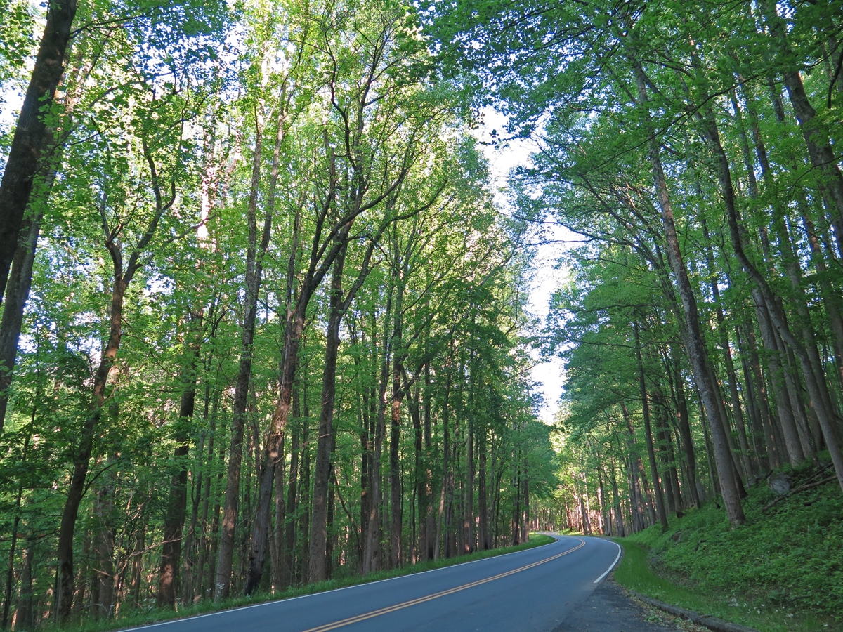
The NC end of the Skyway is in Robbinsville, sort of on the complete opposite side of the mountains from Pigeon Forge. I could have cut straight across the park, but decided to head around the western edge of the park instead. That meant skirting just inside the northern edge of the park — an altogether lovely road — then taking the Foothills Parkway to US-129 at Chilhowee.
Gorgeous Blue Sky
The weather was perfect. Low 60s and not a cloud in the sky.
Fern
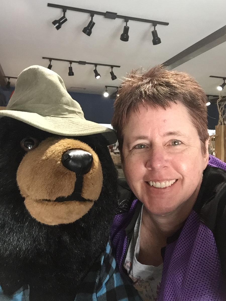
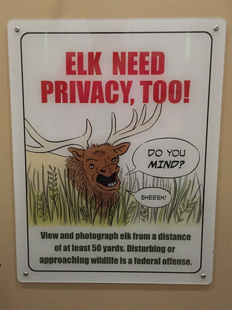
I stopped at the Cades Cove store (inside the park) for a potty break and some snacks. That’s where I met the bear you see in the first photo. And where I saw the sign featured in the following image. It was hanging in a bathroom stall.
Because people can be idiots.
Cades Cove wasn’t as busy as the last time I’d visited, but there were still way too many cars for my liking, so I continued on my way.
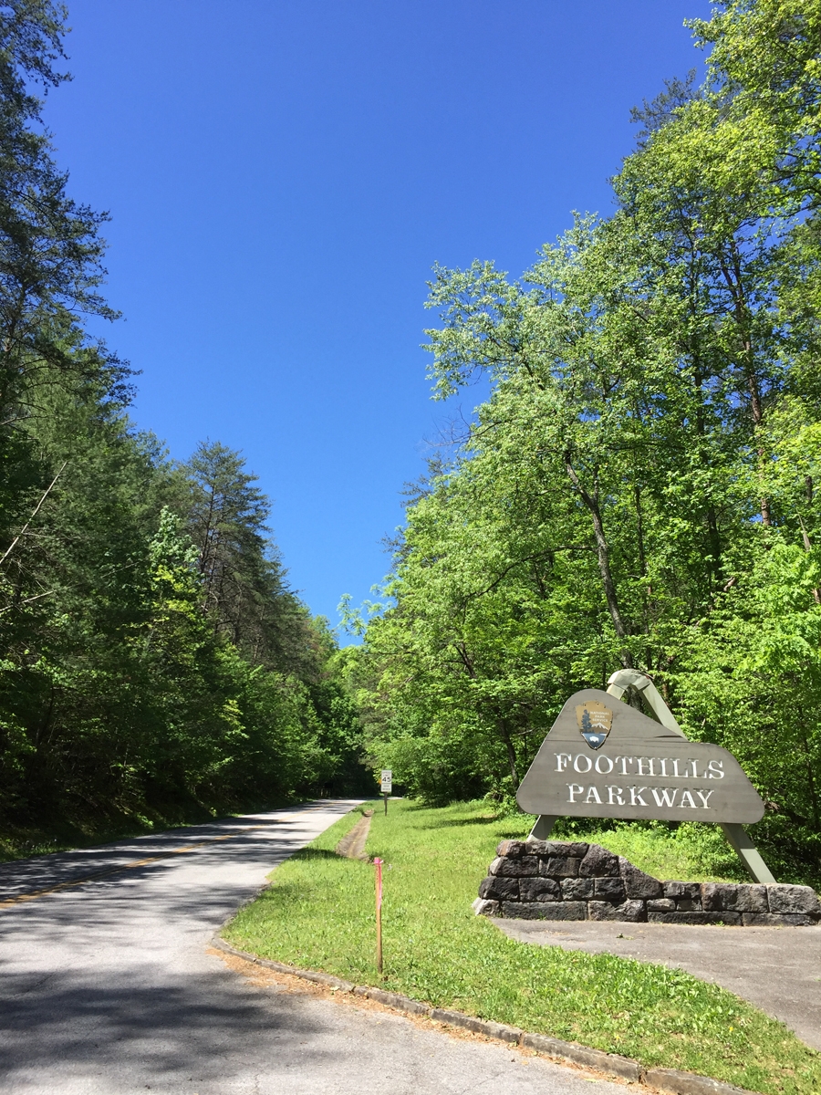
I exited the park at the Townsend entrance and hopped on the Foothills Parkway. It took me to US-129, not far north of where the Tail of the Dragon (THE most-famous destination road in the area) starts/ends.
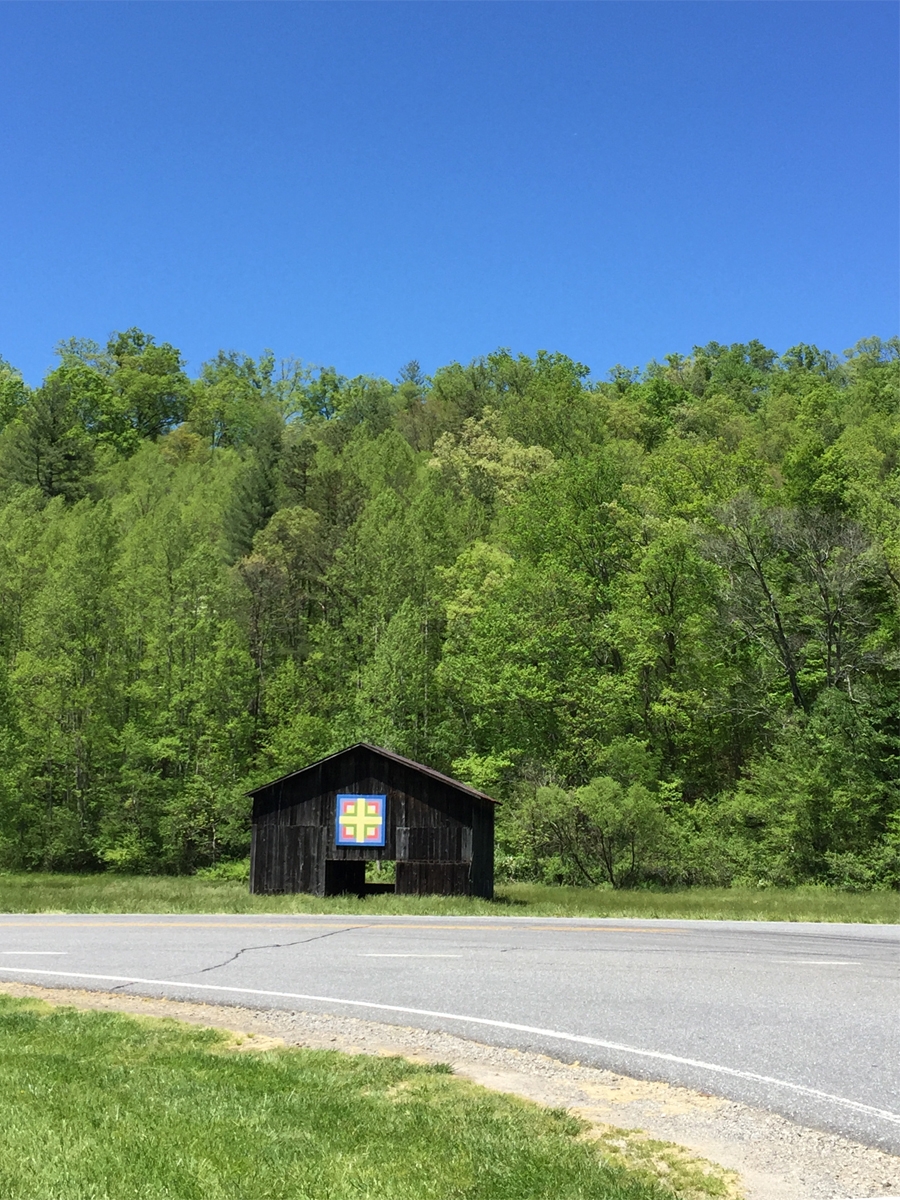
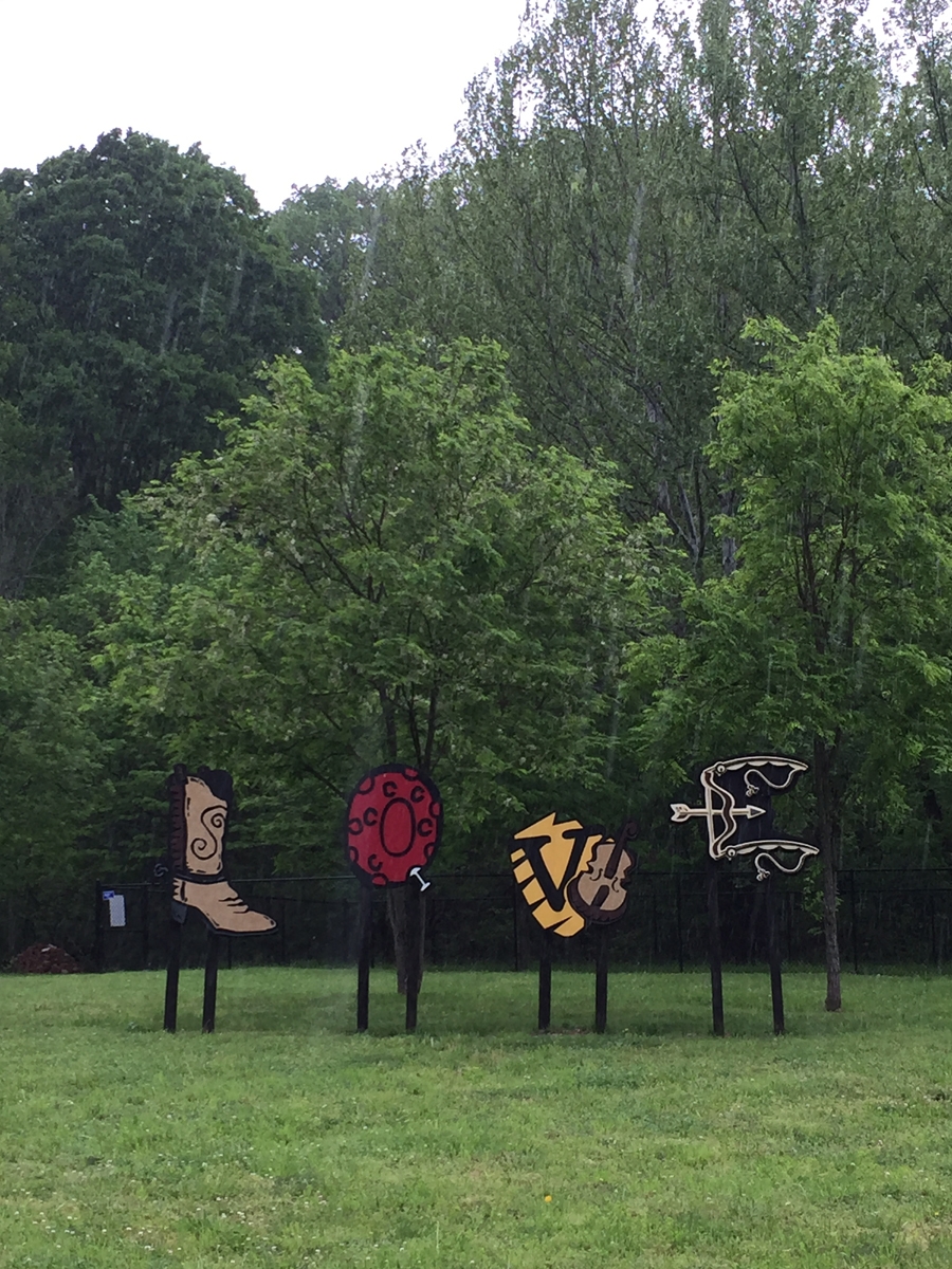
Look what I spotted along the way…
Barn Quilt
…somewhere between exiting the park and entering the Foothills Parkway.
I had the road all to myself.
I’ve ridden The Dragon on a few different occasions now. It is a nice road, but there are many nicer ones in the area with higher speed limits — it’s only 30 mph on The Dragon — that don’t attract tons of people.
I actually managed to zip into a pull-off to grab a couple of pictures.
As seen along Tail of the Dragon
As seen along Tail of the Dragon
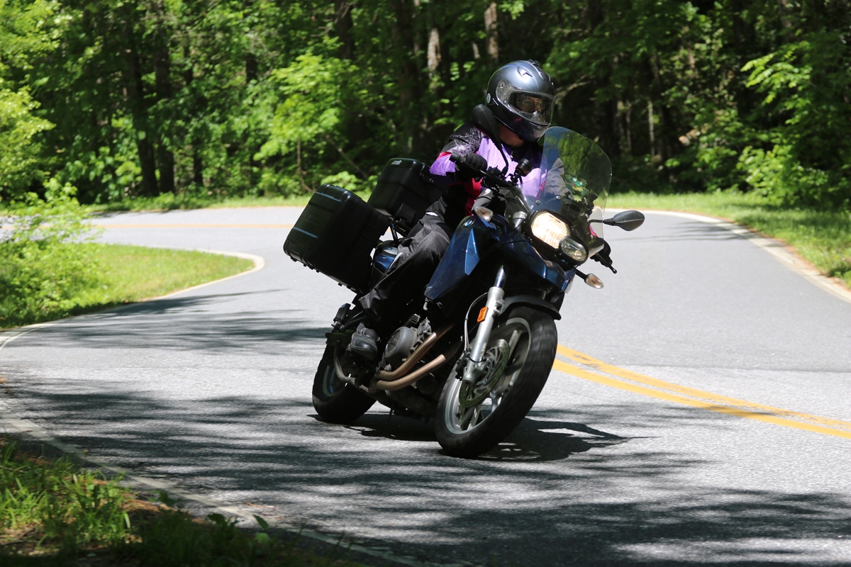
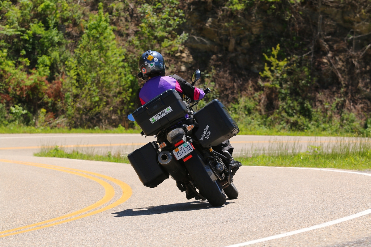
Because The Dragon is such a popular road, there are several spots along the route where photographers station themselves and take pictures to sell. Killboy.com was the pioneer of that practice at The Dragon. I decided to buy a couple of the images, which are shared below.
It’s a great business idea, really. How often does one get to capture good images of oneself actually riding? Killboy has done so well he has his own store at the intersection of US-28 and US-129 selling all kinds of cool stickers, t-shirts, and other stuff. It’s right across from the original store/restaurant/motel complex at The Dragon.
Killboy’s Dragon Sculpture
I wasn’t going to stop at the other store, but that’s where the real potty is, so…
The other Dragon.
I HAD to get a selfie there, too.
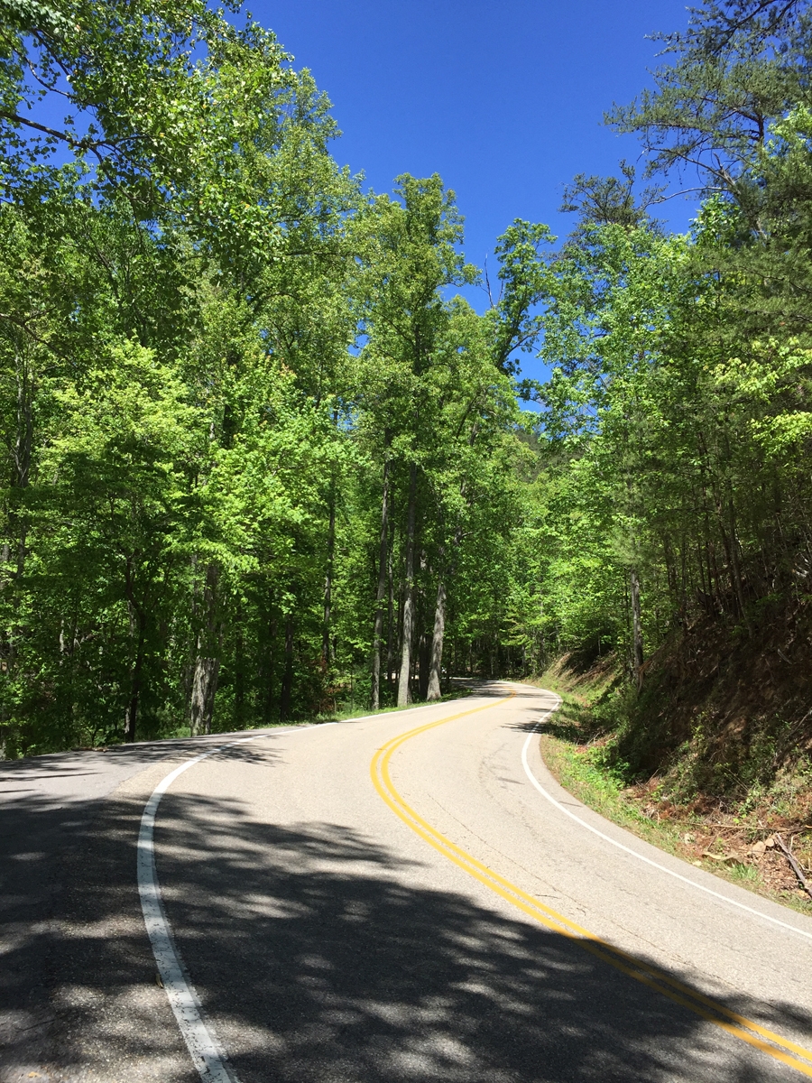
Then it was on to the Cherohala Skyway via the northernmost leg of the Moonshiner 28. I did say there are lots of destination roads in the area, right? In my opinion, it’s actually WAY more fun than The Dragon. So much so, that I had to double back and enjoy it a second time for Hubby.
Another giant chicken.
I gassed-up in Robbinsville at a station that also had a Subway restaurant AND sold fried chicken. Great photo op, eh?
Then it was on to the real fun. Finally.
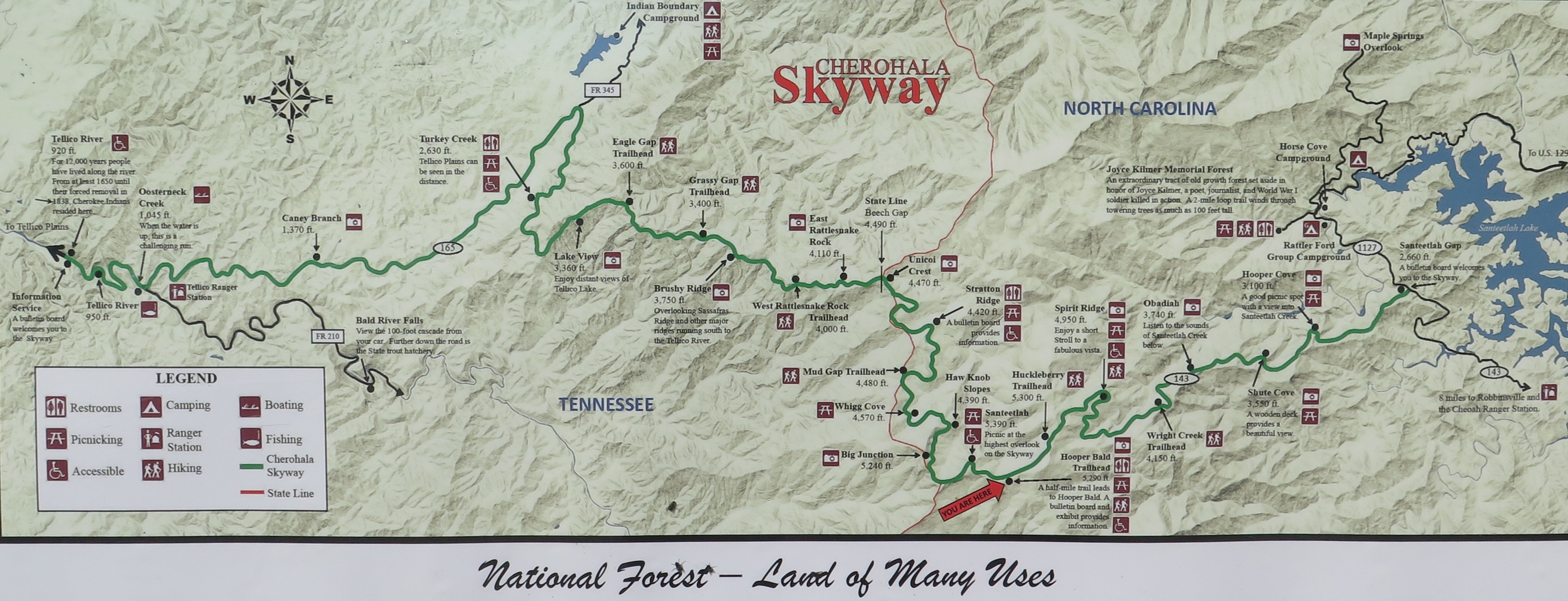
Info Sign
Near the Robbinsville, NC entrance.
The weather really was perfect. I rode for quite a while before finally giving in to the complaints from my rumbling belly.
This pretty much exemplifies the entire route.
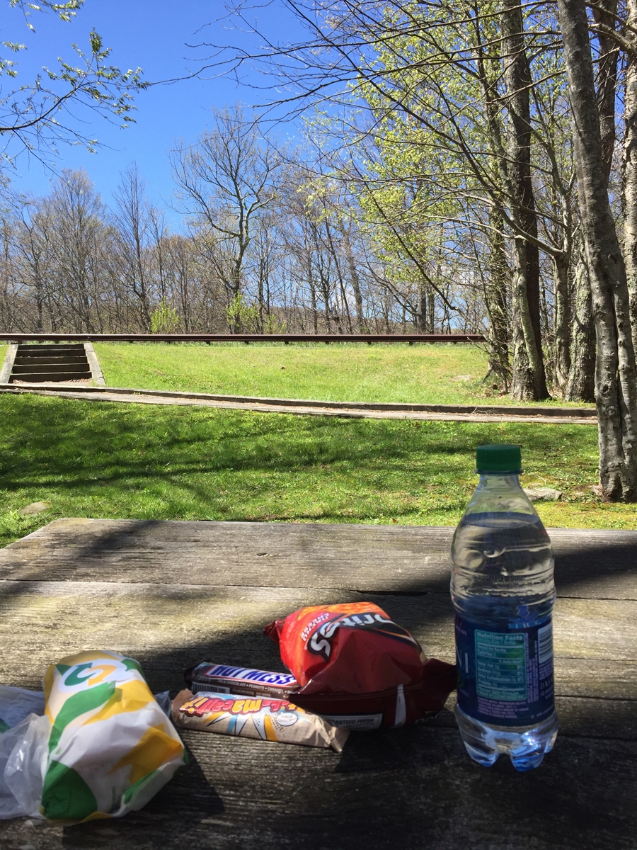
Great day for a picnic.
I took my trip before prime season. The whole time I sat there and enjoyed my leisurely picnic lunch, NO vehicles rode past. Not one. It was only when I was ready to start off again that another bike or two rode by.
No Tractors or Scuba Divers Allowed!
Yes, I know what the sign really means. I just find it funny.
At another rest area/overlook, later in the day.
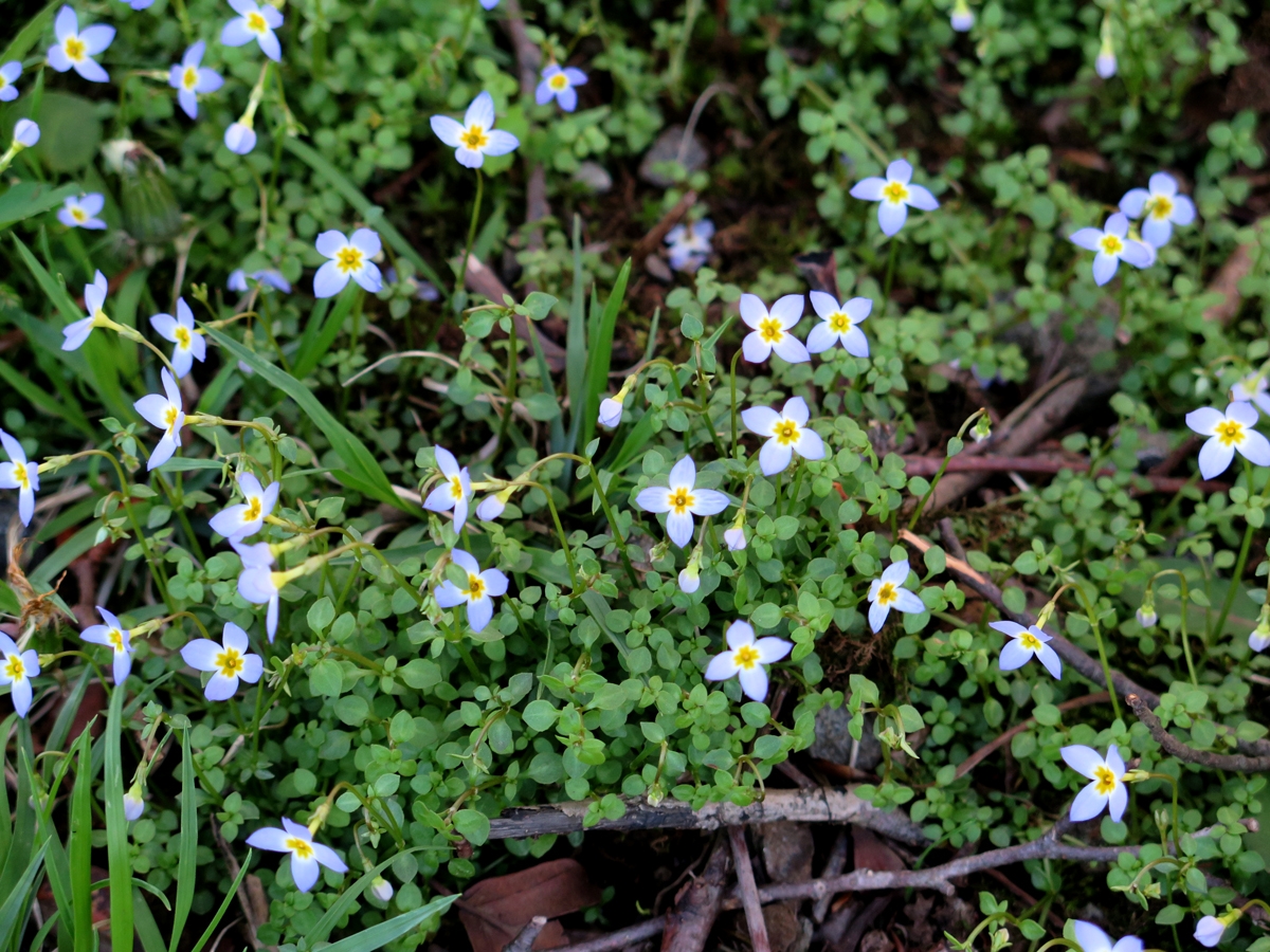
Teeny-tiny Flowers
I reversed direction at the Tennessee end of the Skyway and returned to Robbinsville. I think it was around 4:00 or maybe 5:00 by then. Too early to call it a day.
Actually, I could have called it a day, but there isn’t didn’t seem to be enough going on in Robbinsville, when compared to other locations, to make me want to stay for the night. So I stopped at the Giant Chicken again — free wifi — secured a hotel via phone, and rode to Bryson City. That’s where my day officially ended.
Question for y’all… do you care to see videos? I captured some in the hollers of West Virginia AND on the Cherohala Skyway. They take a bit of time to edit. Raw footage is REALLY boring. If no one really wants to watch them, I won’t bother. If some of you would like to see them, I will make time. So please let me know.
What a weird name for a town, right? I got so used to it over the years, I forgot how unusual a name it was. Not that I had ever been there before, I just knew it was close to the Great Smoky Mountains National Park (GSMNP). And home to Dollywood, the amusement park Dolly Parton financed and built in/near the town.
I never did see Dollywood. The last time I was in the area, I stayed in nearby Gatlinburg. And that’s how I missed the particular attraction that drew me to Pigeon Forge this time around.
But I am getting ahead of myself…
About an hour after leaving Gate City, VA and entering Tennessee, the weather got MUCH better.
Town in Tennessee
I was glad the rain had left the area, but it actually got a bit warmer than I would’ve liked.
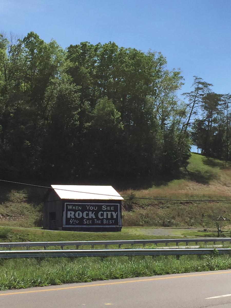
An old bit of Americana.
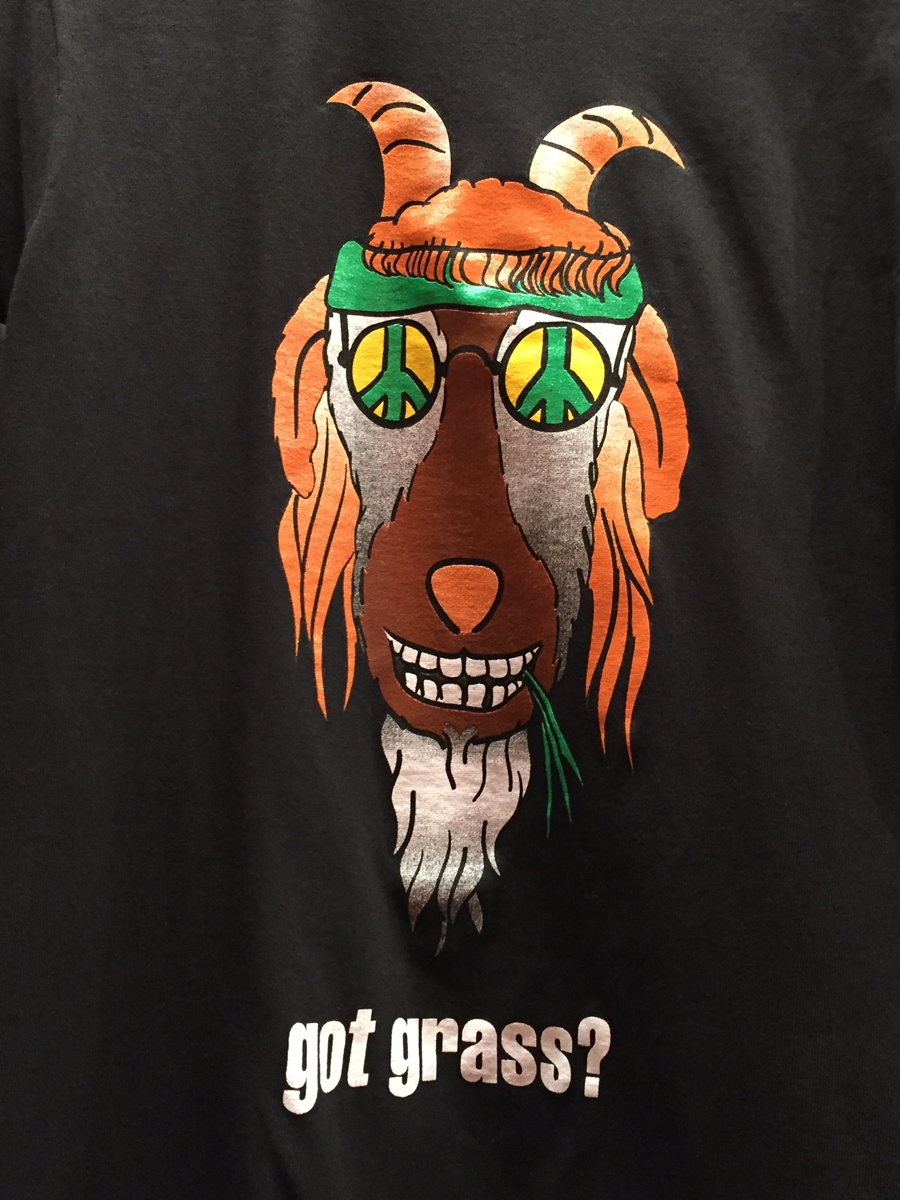
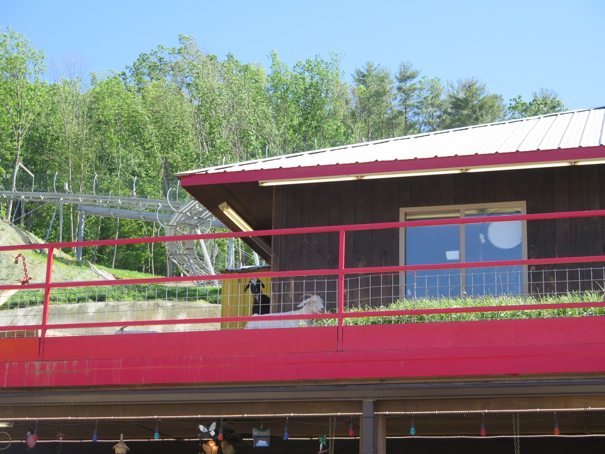
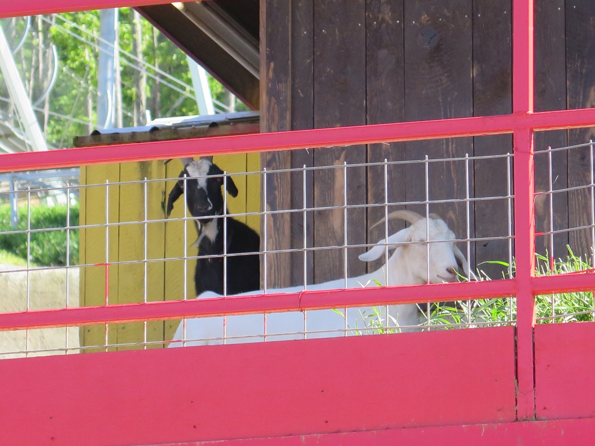
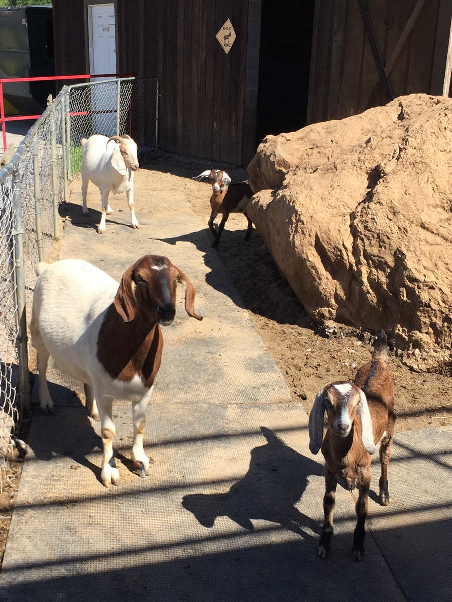
Goats On The Roof!
It was around 3:00 PM when I finally reached my destination. This fun souvenir/gift shop called Goats on the Roof. Why?
Because they have goats on the roof.
Goats on the Roof
Real goats, hanging out on the roof.
I’m glad I finally saw it, but it wasn’t nearly as fun as I thought it would be. They did have lots of fun t-shirts, though.
Goats
My friend, Tracey, has much cuter goats.
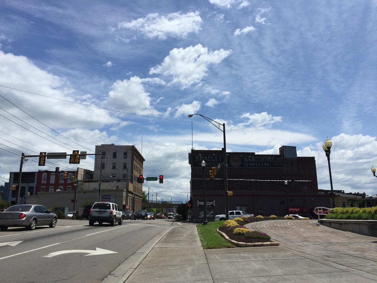
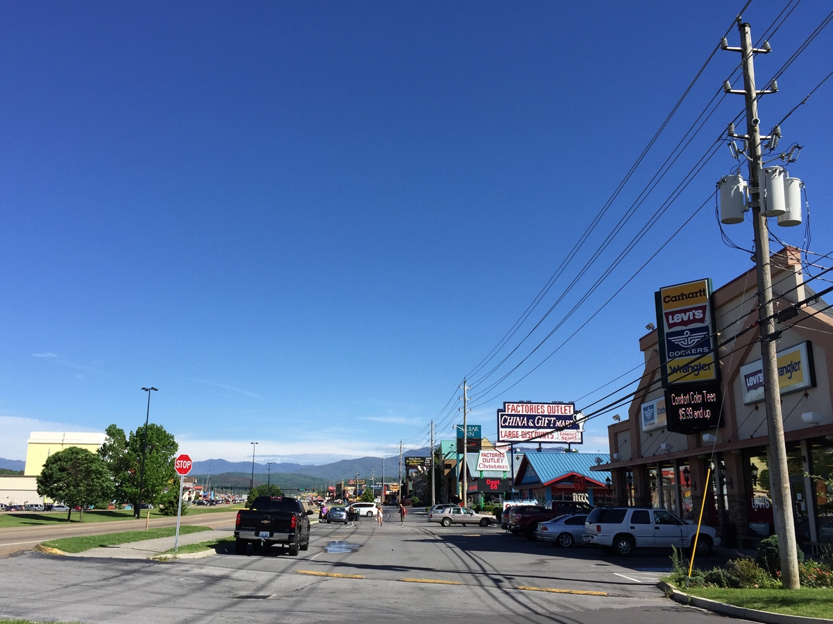
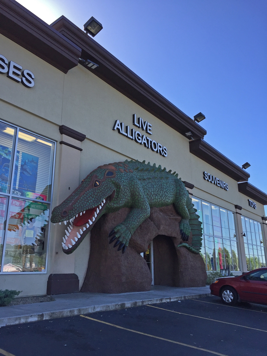
From there, it was on to the town of Pigeon Forge. “Town” may be a stretch for the bit of geography I visited while there. It was all a bit over-the-top if you ask me.
The Pigeon Forge strip.
Like most national park gateway towns, it was chock-full of retail stores, attractions, souvenir shops, restaurants, hotels, etc. And all of them try very hard to grab folks’ attention.
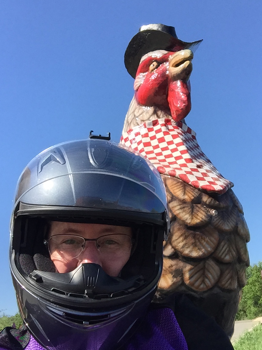
They did have very nice giant chickens.
It seemed rude not to grab a selfie while there. I mean, they’d gone to great lengths to make their cocks attractive.
I scoped-out the lodging options as I drove through Pigeon Forge on my way to GSMNP.
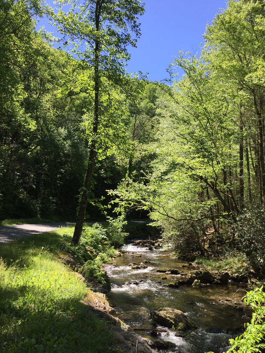
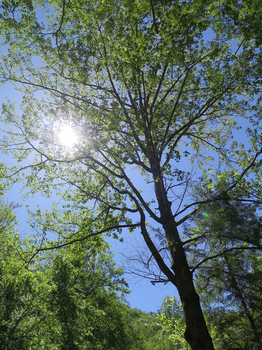
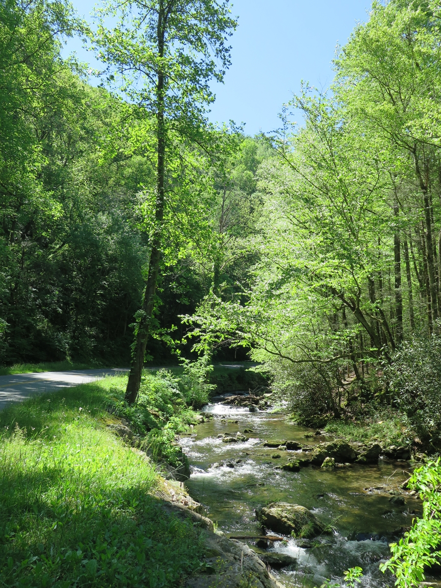
I’d much rather hang out here any day.
It was significantly cooler among the trees.
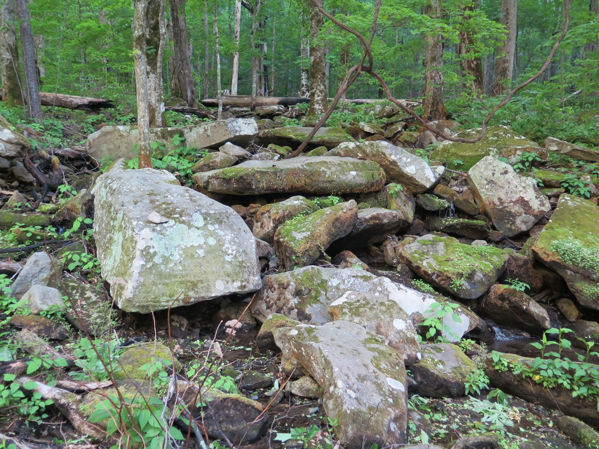
The stream beside the road helped.Lovely Scene
There was a tiny stream gurgling loudly through those big, moss- and lichen-covered boulders. I sat and listened for a while, disturbed only occasionally by a passing vehicle.
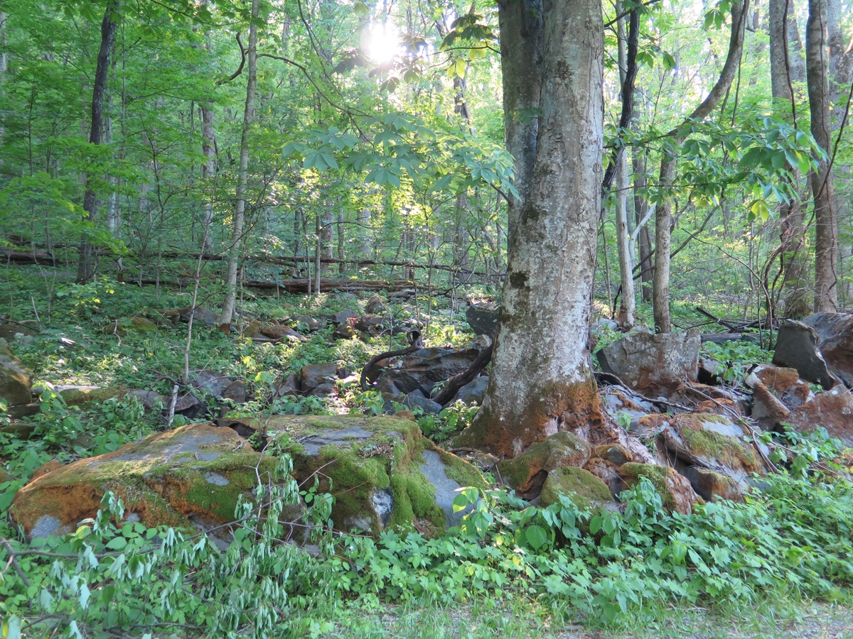
A few small remnants of fires.
My favorite boulder/stream again.
Below is a larger reminder of forest fires in the not too distant past.
Fire Damage
I was going to ride further into the park, but it was getting colder. So I decided to head back to the visitor’s center where I could use the free wifi and my phone to book a hotel room. I chose a place close to the park, on the edge of all the touristy madness.
Once I’d checked in and unpacked, I realized I didn’t feel like walking anywhere, or riding, to get dinner. So I ordered a pizza from a place the lady at the front desk recommended. It was actually delicious.
Shortly after that, I retired for the evening, and slept like a rock.
My last post ended with me bugging-out of Breaks Interstate Park earlier than anticipated due to approaching thunderstorms. I’d mapped-out a route the previous evening that took me on a meandering trek along and south of the Virginia/Kentucky border through the counties of Dickenson, Wise, and Lee. (I’m trying to hit all of the counties in Virginia.)
Since the radar images I’d seen had looked so ominous, I eliminated some of the higher-elevation roads, following a route that should still take me through all three of those counties.
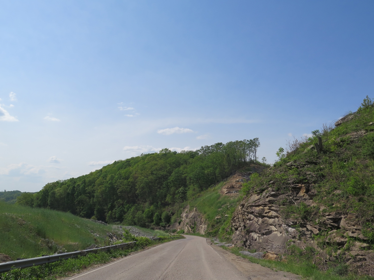
The first part of the route was especially nice. And I actually got to enjoy the twisty roads as I outran the rain.
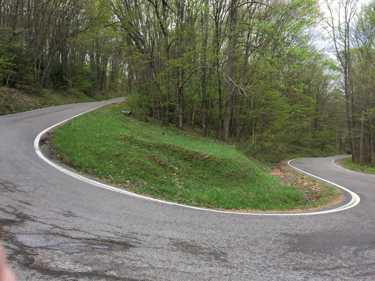
As I was making my way past Norton, I noticed signs for the High Knob Lookout tower and made a spur-of-the-moment decision to check it out. I’m glad I did. The road to and from the tower was reminiscent of riding in the Swiss Alps, except with a lot more trees.
Blue Sky!
I’d remembered reading about the spot at some point, which is described on the virginia.org website as follows:
A brand new observation tower with a long history opened in 2014 atop High Knob Recreation Area. At an elevation of 4,223 feet, the original tower built in the 30s burned down 40 years later. In 1978, Flatwoods Job Corp. built a new three story tower that met its demise by arson in 2007. Thanks to a dedicated community of volunteers in partnership with the Clinch Ranger District, a new, fire-proof tower to compliment and showcase the spectacular view of 5 states was erected. It has become a symbol of hope, like the legendary phoenix rising from the ashes, offering locals and visitors alike an unparalleled view from Stone Mountain.
I’m glad I decided to visit when I did. I pretty much had the whole place to myself. I only passed one other vehicle on my way up to the tower and back down! The place would probably suck during prime season, as the road is so narrow, steep, and jam-packed with very tight curves I can almost guarantee it gets clogged by very poky four-wheeled-vehicle traffic.
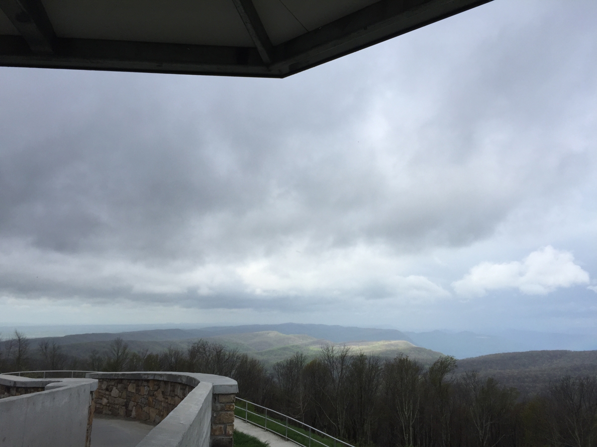
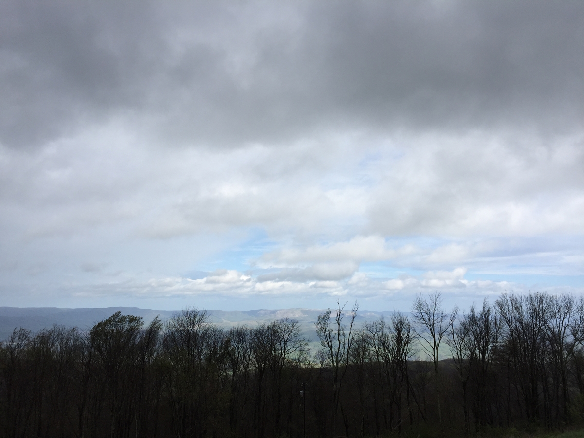
View from High Knob Lookout Tower (Stone Mountain)
The view was impressive. And ominous, depending on which direction I was facing.
View from High Knob Lookout Tower (Stone Mountain)
View from High Knob Lookout Tower (Stone Mountain)
It was pretty clear that I’d be getting wet at some point that day.
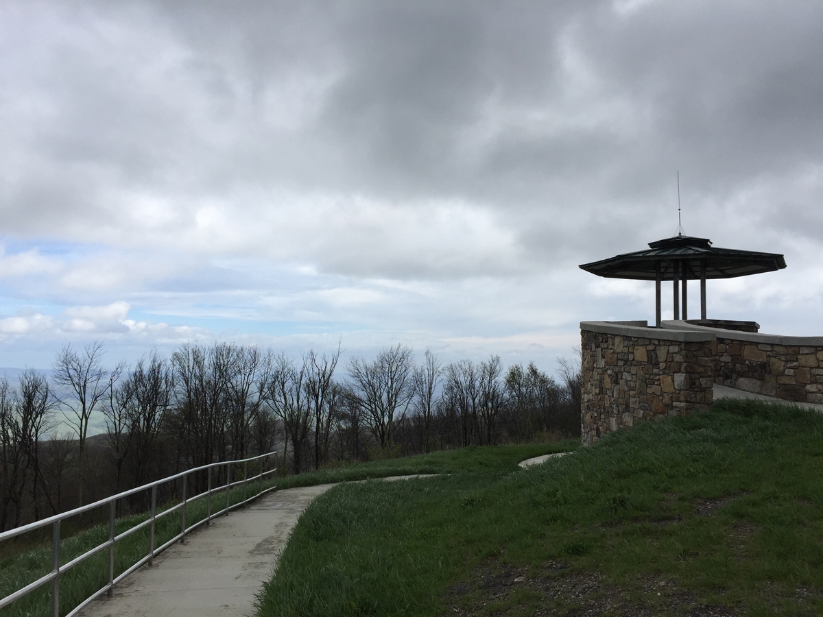
High Knob Lookout Tower (Stone Mountain)
View from High Knob (Stone Mountain)
It was quite windy up there, and I enjoyed watching the clouds scurry across the sky.
The road to and from High Knob Lookout Tower (Stone Mountain)
It only drizzled a little as I made my way back town the mountain. I continued west and south, heading toward the town of Pennington Gap for no other reason than it sits in Lee County. I also wanted to ride through Gate City, Virginia, in the complete opposite direction. That’s why, soon after passing the Lee County sign, I decided to nix Pennington Gap, and headed south then east along US-58.
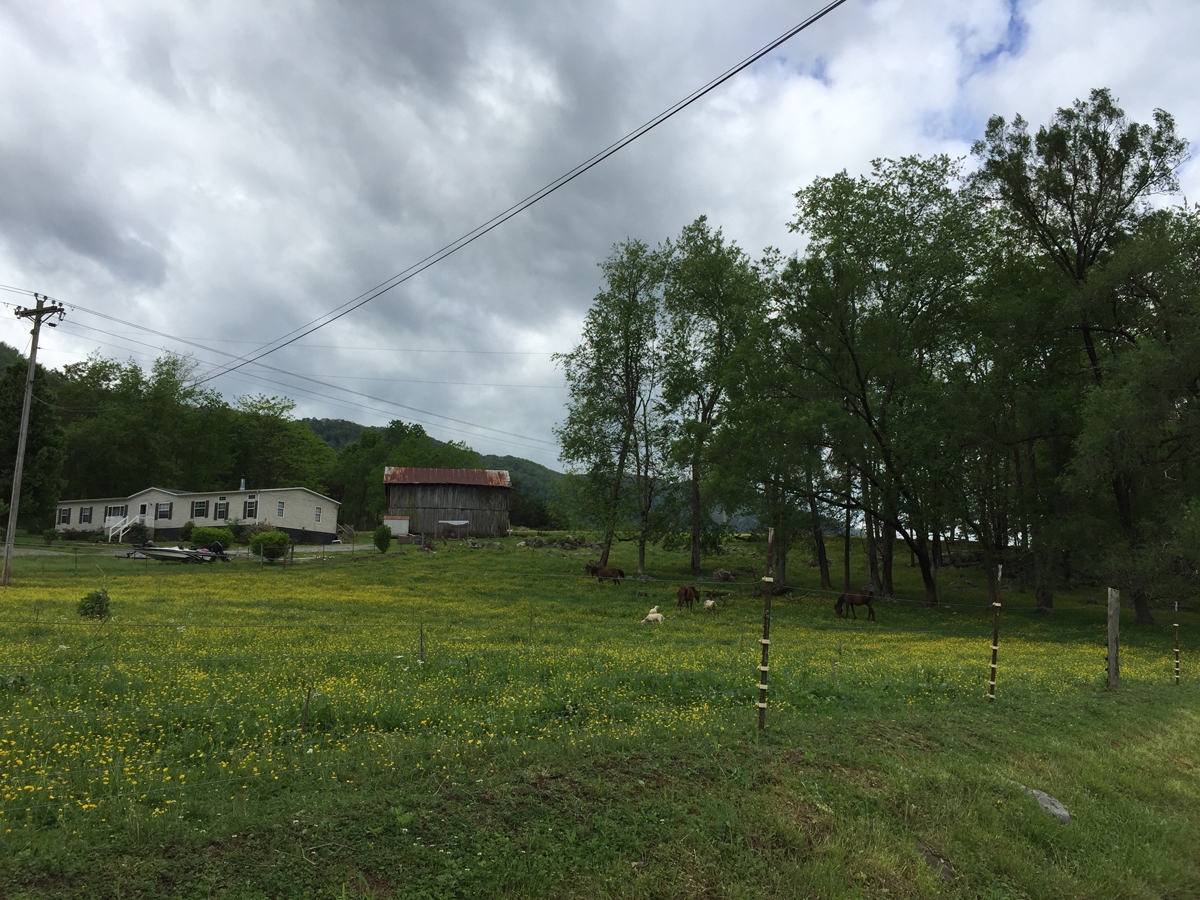
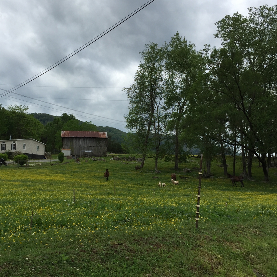
I’m glad I did, because I saw some fun stuff along the way. Like this cute farm.
Cute Little Farm
Really, just look at the animals among the Buttercups. 😊
Cute Animals
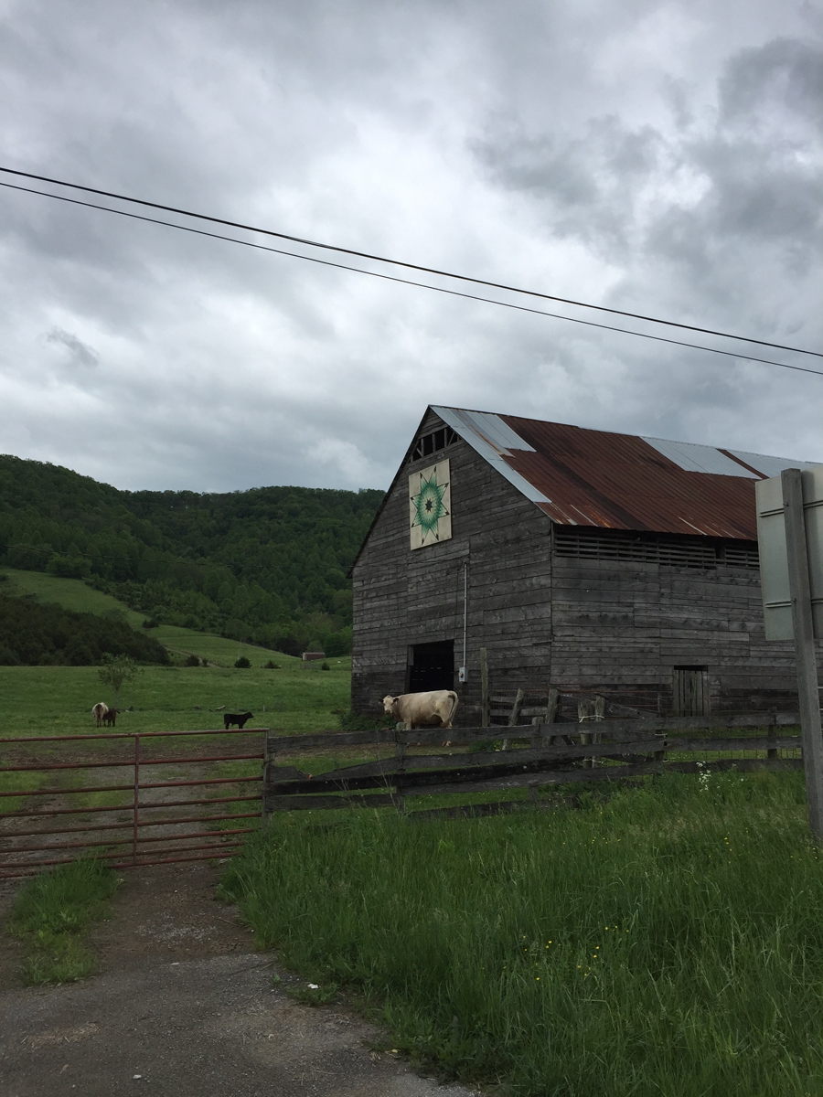
Here’s some more stuff I saw along the way…
Barn Quilt
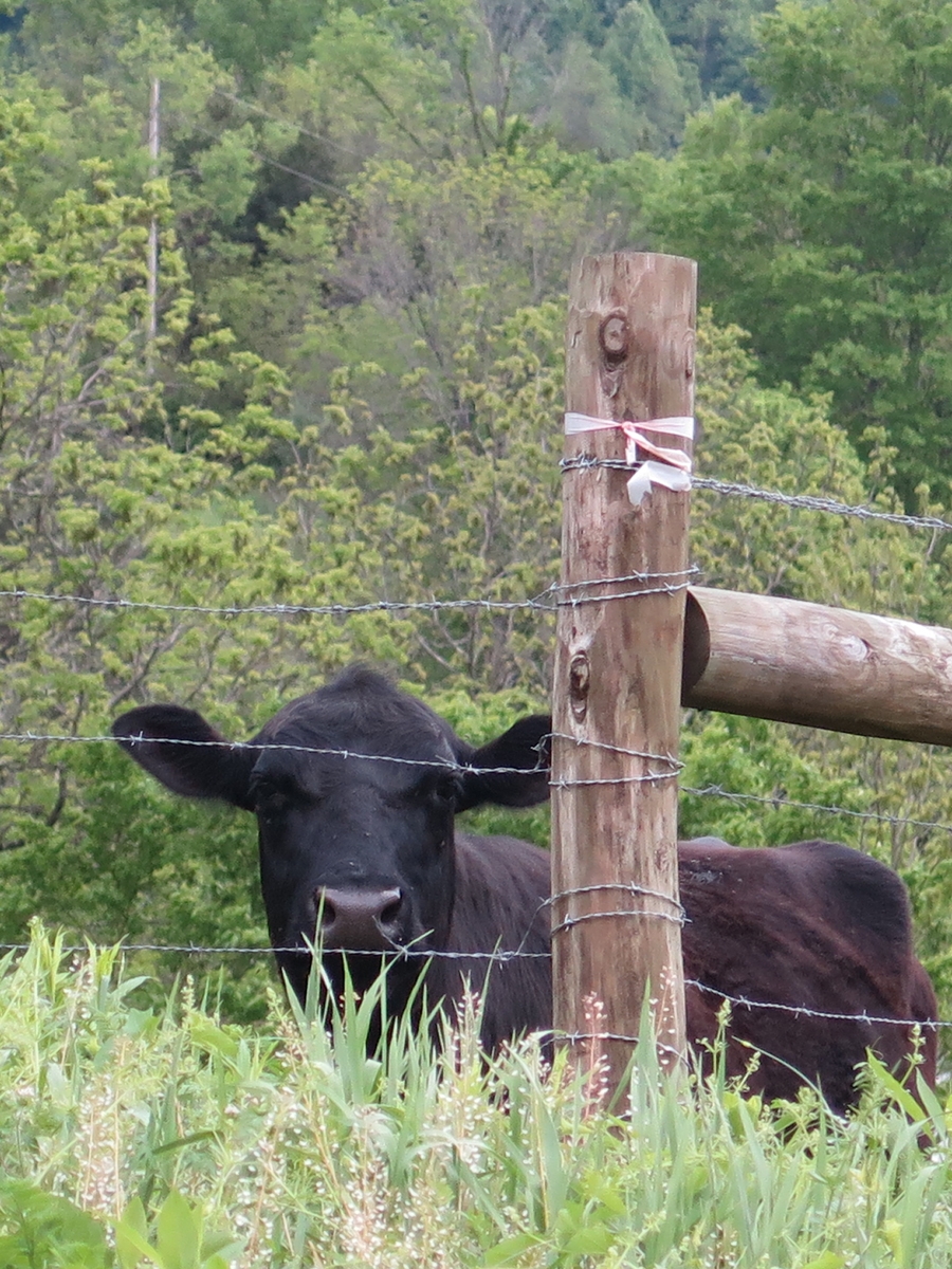
Cows
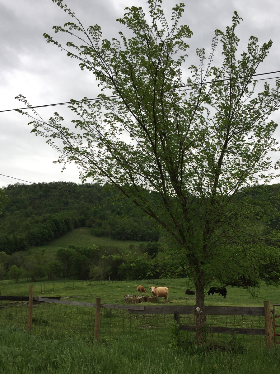
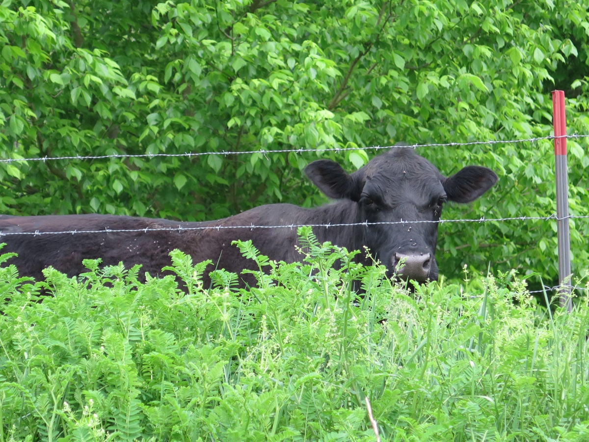
A little further along, I came to an almost-screeching stop when I spotted two barn quilts along the highway. This cow was quite intrigued by me.
Curious Cow
Barn Quilt
I had to backtrack a bit, on foot, to get an acceptable shot of the other one.
Barely acceptable barn quilt photo.
My “friend” kept an eye on me the entire time.
Curious Cow
I continued into Gate City from there. I did a few laps of the downtown area looking for their elusive LOVEwork. I was hungry, so sorta gave up on finding the LOVEwork (it had been missing two years ago, too, the LAST time I rode to that remote town specifically to see the LOVEwork!).
I pulled into the parking lot of a very small diner. Just as I dismounted, it started raining. Pouring, actually. Perfect timing! I was able to site and enjoy a leisurely lunch of fried pickles along with a homemade cheeseburger and French fries. It was all delicious.
I plotted the rest of my route while I ate. As luck would have it, as I pulled out of town onto the main highway, look what I saw!
Gate City LOVEwork
I didn’t even care that it was still raining. I was so tickled to see the LOVEwork. What are the chances of my getting to that very remote part of the state again any time soon?
From there, it was off to Pigeon Forge, Tennessee, to see something I’d been wanting to see for a few years.
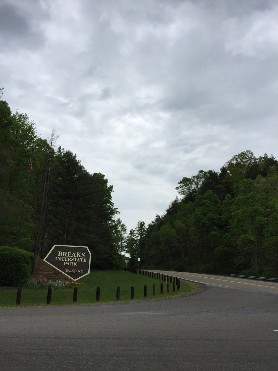
Back in October 2010 — the last trip with our old cruisers! — when Hubby and I rode to Kentucky, we passed very close to Breaks Interstate Park (BIP). In fact, we ate lunch at the Hardee’s in Grundy mentioned in my last post. The morning coffee club (what we call the groups of older men that hang out to chat over coffee in fast food restaurants) was still there, and one of the men started talking to us about our ride, where we were from, headed to, etc. And he asked if we were going into Breaks.
Neither of us had ever heard of it. I can’t remember if the guy elaborated or not. But as we made our way into Kentucky, I kept seeing signs for the park. Naturally, that made me wonder. After I looked it up, I was kicking myself for not having checked it out. Since then, I’ve wanted to return. Mike’s kind of been noncommittal about it. He’d rather daydream about long, endurance rides than worry about revisiting areas just to see something we’d missed.
I forgot to add this pic to my last post.
The more I think about this road and whether or not I stumbled across a highway project or surface mining operation, I think it must be the latter. A highway here just wouldn’t make sense.
Surface mining will make West Virginia uninhabitable one day. If you’re not familiar with that practice, check out the Coal River Mountain Watch website. Watch this documentary on YouTube. It’s not just one mountain. And it isn’t just West Virginia. Do a Google Maps search for Breaks, Virginia. Turn on satellite view.
See all the brown spots to the north and west of Breaks? Those are mountains that have already been decimated. Zoom in and see for yourself. It’s awful.
Originally, I’d thought about riding into Kentucky after leaving Breaks. But after seeing the extreme poverty in West Virginia, and what it’s done to the people and communities there, I just could NOT bear to ride into Kentucky and see what it’s done to the land. It was just too depressing. Remember, I was on vacation trying to de-stress.
So, back to happy stuff…
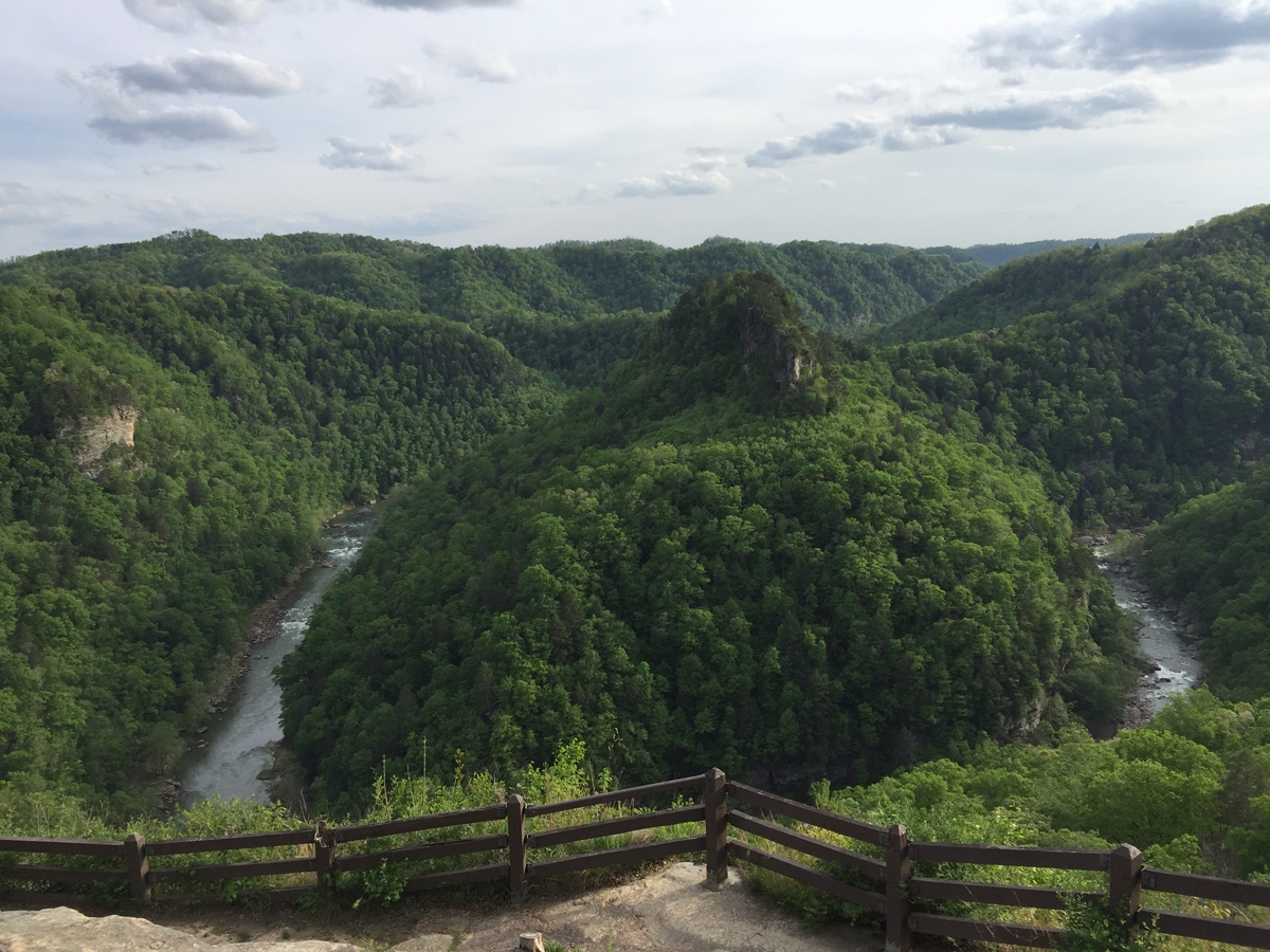
These are “The Breaks.”
Did anyone else hear Kurtis Blow when you read that photo caption? I’m not sure if I have ever admitted to y’all that I am a rap fan. Mostly old-school stuff from back in the day. Not gangsta rap, either.
How the park got it’s unusual name.
Here’s a quick little video taken from one of the overlooks (the park is mostly on the rim of the gorge).
I think the gorge is about 1,000 feet (~305 m) deep at this point.
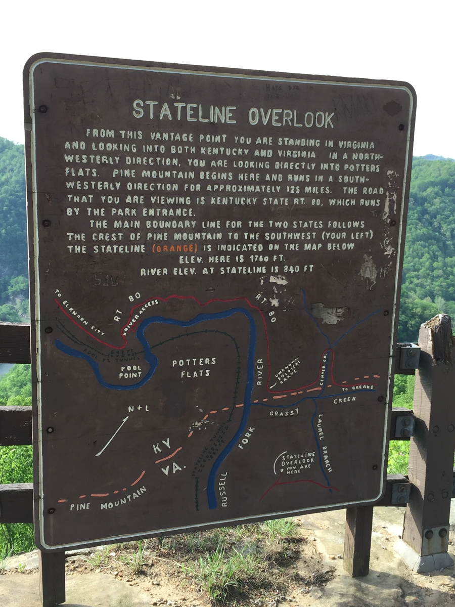
As seen from the Stateline Overlook.
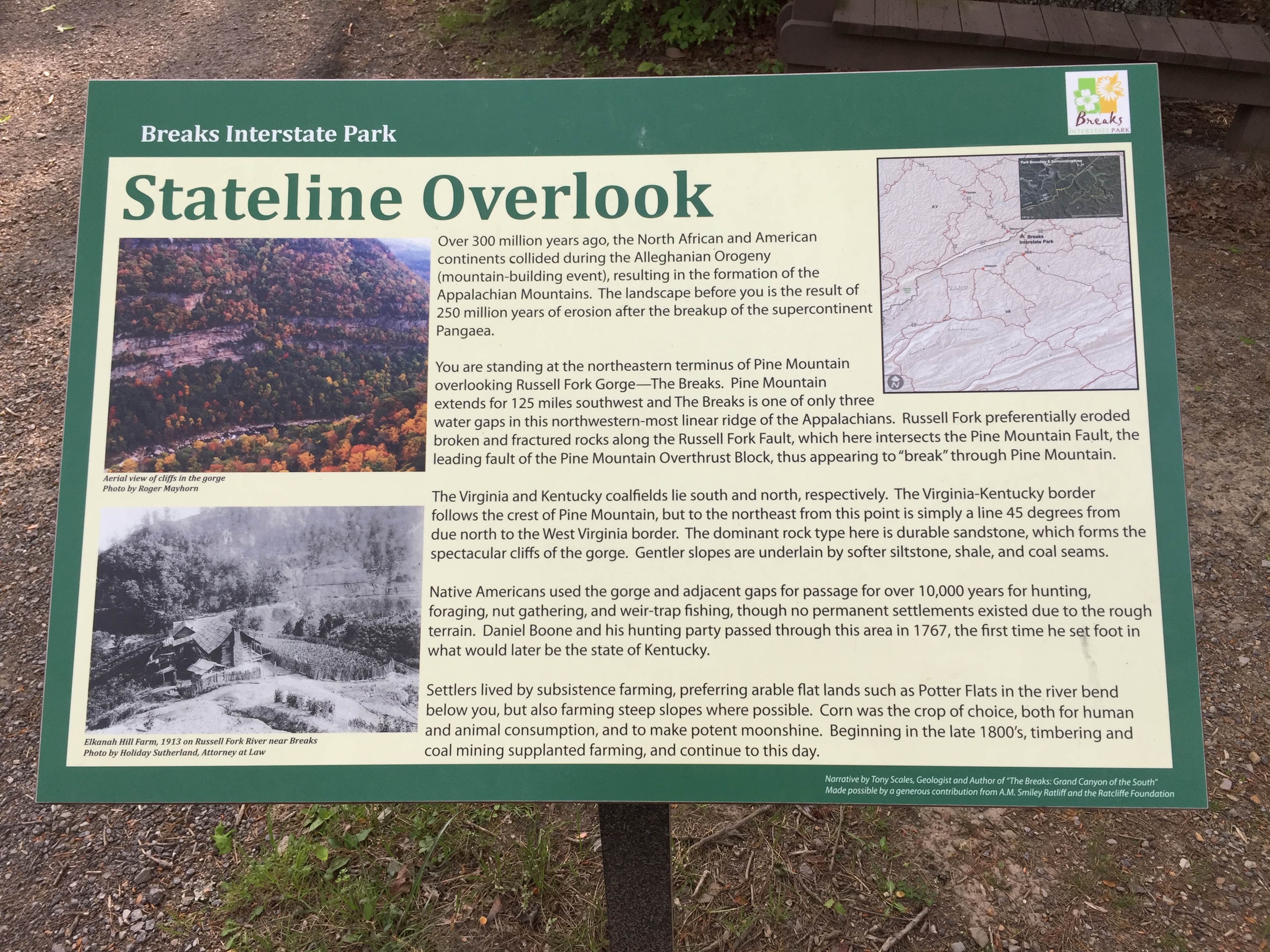
The view is described by the sign in the image below.
Information about the view.
It was actually sort of early when I arrived at the park. I was hot, tired, and grumpy (seeing fellow Americans in extreme poverty as described in my previous post does that). I removed all of my gear, put on some comfy pants and hiking sandals, and rode around the park to see the various overlooks. I had the park practically to myself and was being very careful.
I couldn’t linger long, as the restaurant closed relatively early. And it would have been a VERY long ride to find anything else.
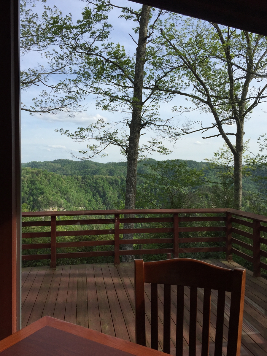
My view during dinner at the lodge’s restaurant.
The view was the best part about dinner. That and the 3+ glasses of ice-cold iced tea that I chugged down. The service was excellent, but the food was just okay. State park concessions are not usually known for their fancy vittles.
After dinner, I wandered around the park a bit more. I was too tired for much else.
Looking back, I was probably dehydrated. I never drink enough when riding on hot days. Another reminder lesson learned.
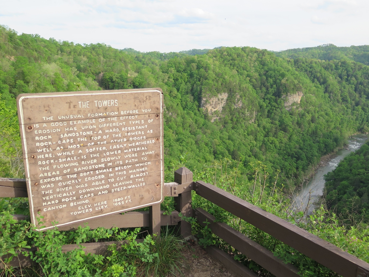
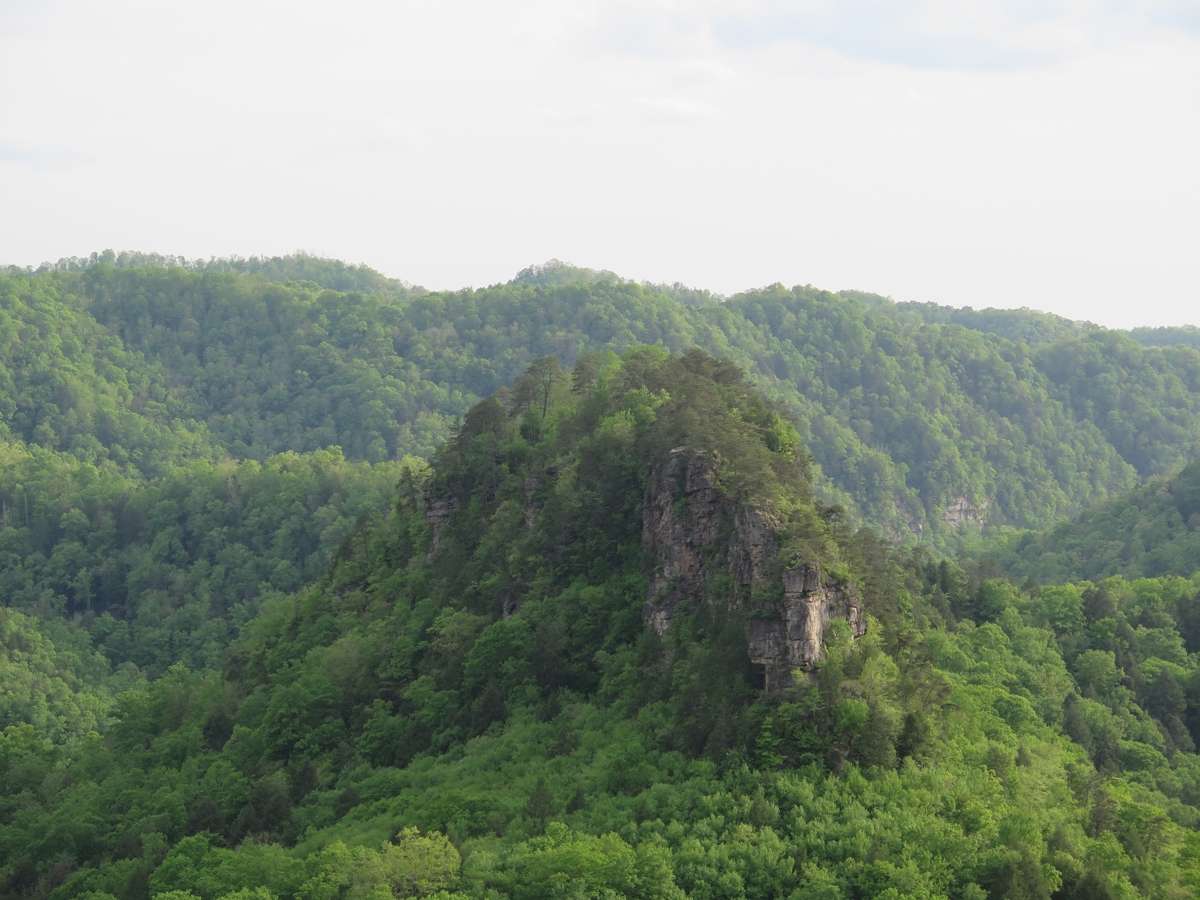
Information sign at The Towers Overlook.
One of the two towers.
Kind of amazing when you think water did that. Even if it isn’t as “grand” as THE Grand Canyon.
All of the buildings had storm shelters.
Seeing all the storm shelters freaked me out a little bit. I mean, it’s nice to know there are lots of shelters available, but they wouldn’t have so many shelters if weather up on the ridge didn’t get rather fierce. Am I right?
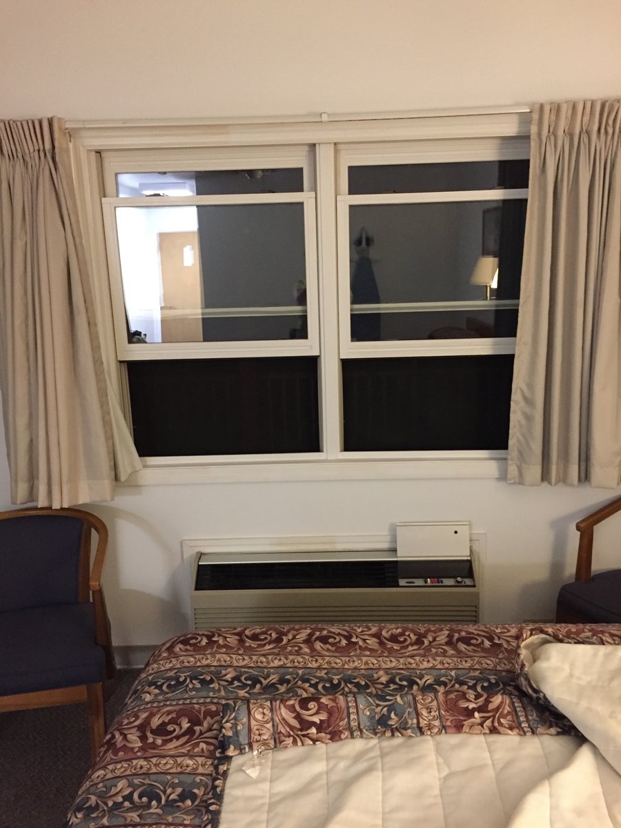
My lodge room was big, but basic. It had all the amenities, but the decor was plain. I did enjoy having a balcony AND being able to open the windows. I got to listen to night sounds, so it felt just like camping in the woods (or staying at our old WV Place).
The windows in my room were staring at me!
From the bed, I couldn’t see the “mouth” of that monster. I only saw a face when I stood up. LOL.
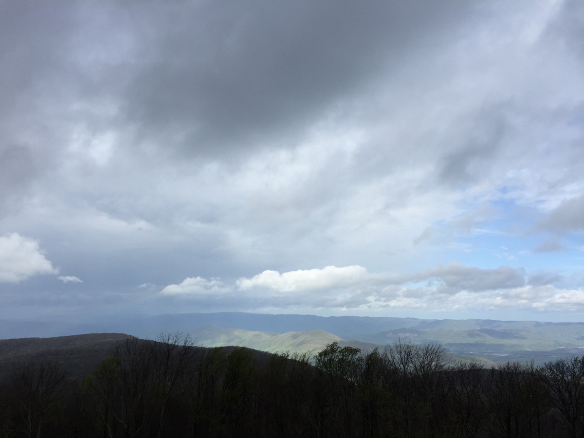
The next morning, I awoke to the sound of wind howling through the trees. I looked outside and saw a lot of gray clouds. I checked the weather radar and saw lots of storms headed my way.
Stormy Morning
I don’t mind rain that much, as long as I have the proper gear along (I did). But I had no desire to be descending through the mountains on unfamiliar and very twisty two-lane, tree-lined roads during a thunderstorm or two.
I packed in record time and got out of there. I’d hoped to capture more pics around the park that morning, but chose to outrun the thunderstorms instead.
I did manage to get out of the high mountains before the rain caught up with me. But it was fine. All part of the adventure. 🙂