It was supposed to be raining when I woke up in Maggie Valley. When I’d decided to hunker down for the day, to sit-out the storm, I had visions of sleeping late, enjoying a long leisurely meal or two, and just, you know, hanging out.
So why is it that my first thought upon seeing dry pavement was, “I can ride today after all.” Maybe it’s a sickness.
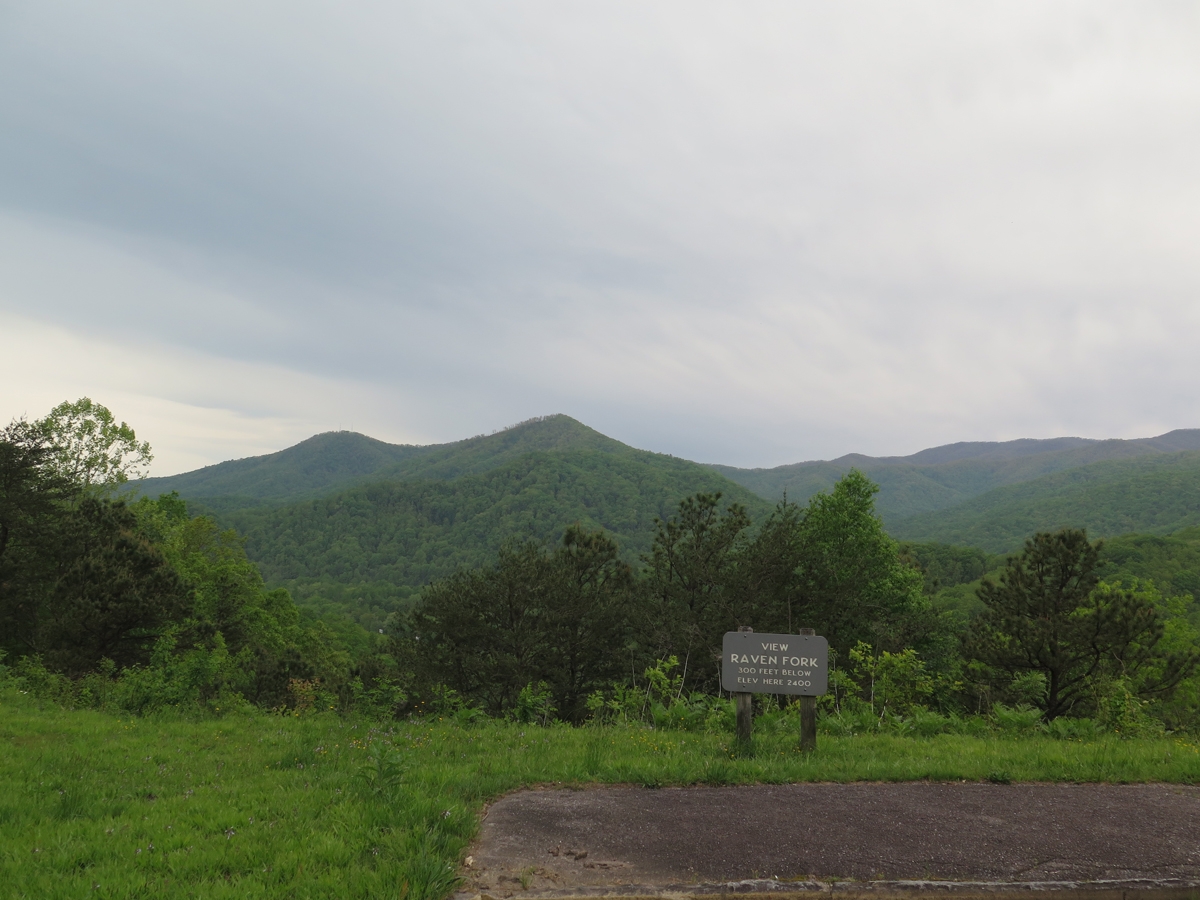
Since I was close to Great Smoky Mountains National Park (GSMNP), and I had yet to make it to Clingman’s Dome — highest point in GSMNP — I figured that would be a good destination. Once it did start raining, I told myself, I’d be close to shelter.
It didn’t take long at all — 20 minutes? — for me to reach the park entrance, which is near the southern terminus of the BRP. Unfortunately, when I did, I was greeted by a sign proclaiming US-441 to be closed. The Oconaluftee Visitors Center is just inside the park entrance, so I went in to find out exactly where the closure began, hoping I could reach the summit. But it was not to be.
“Actually,” one of the rangers manning the desk told me, “the Tennessee side of the park is currently being evacuated.” What?!?
The weather on the Tennessee side of the park was much worse. There were reports of trees down all over the place, falling on people and cars.
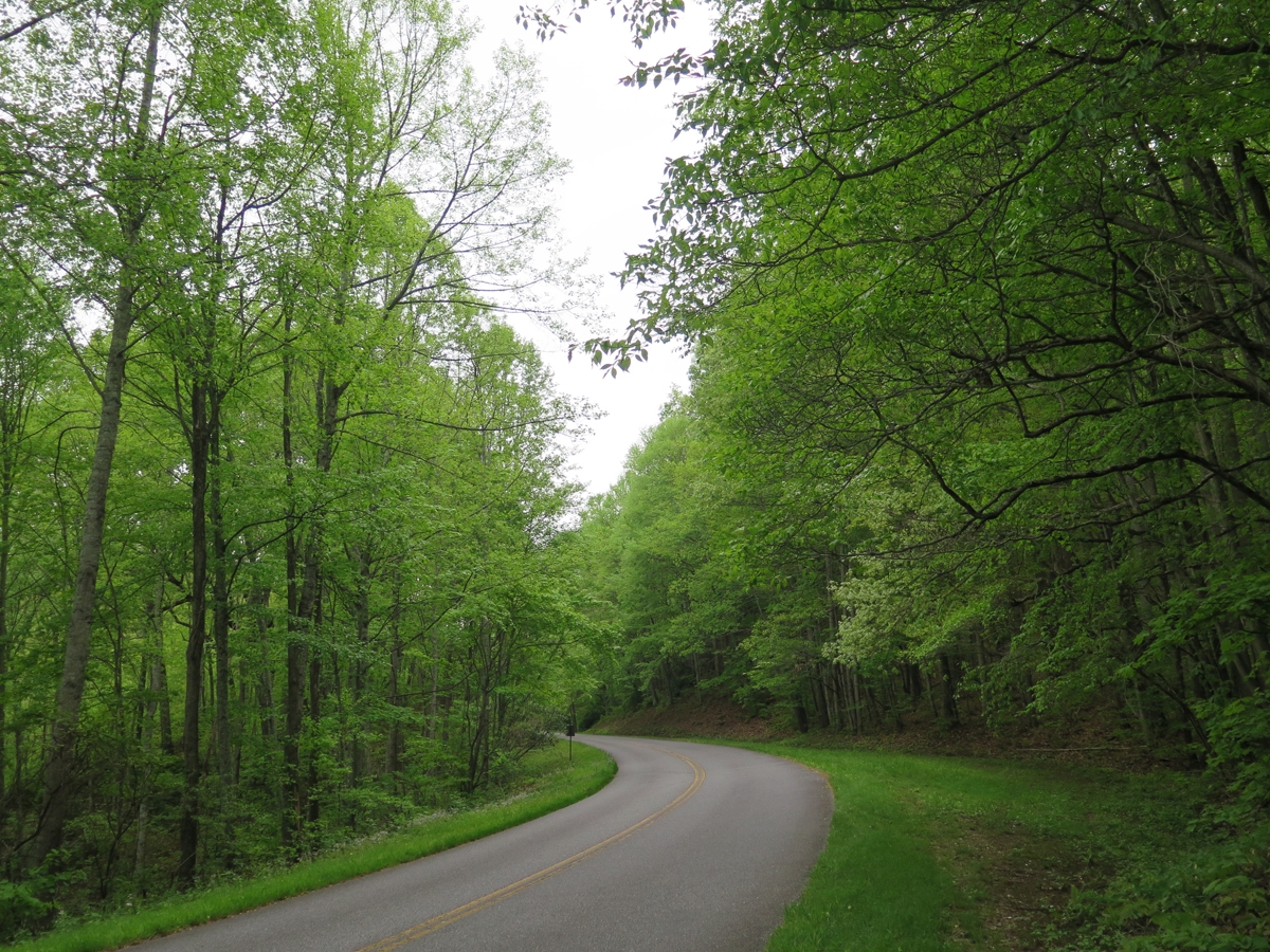
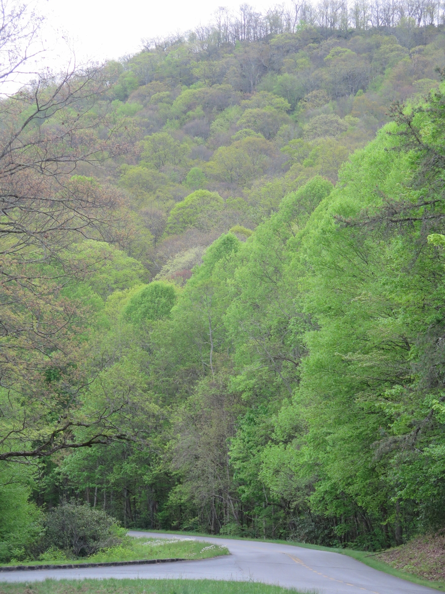
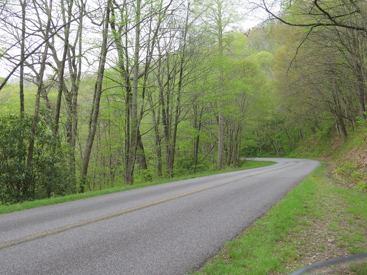
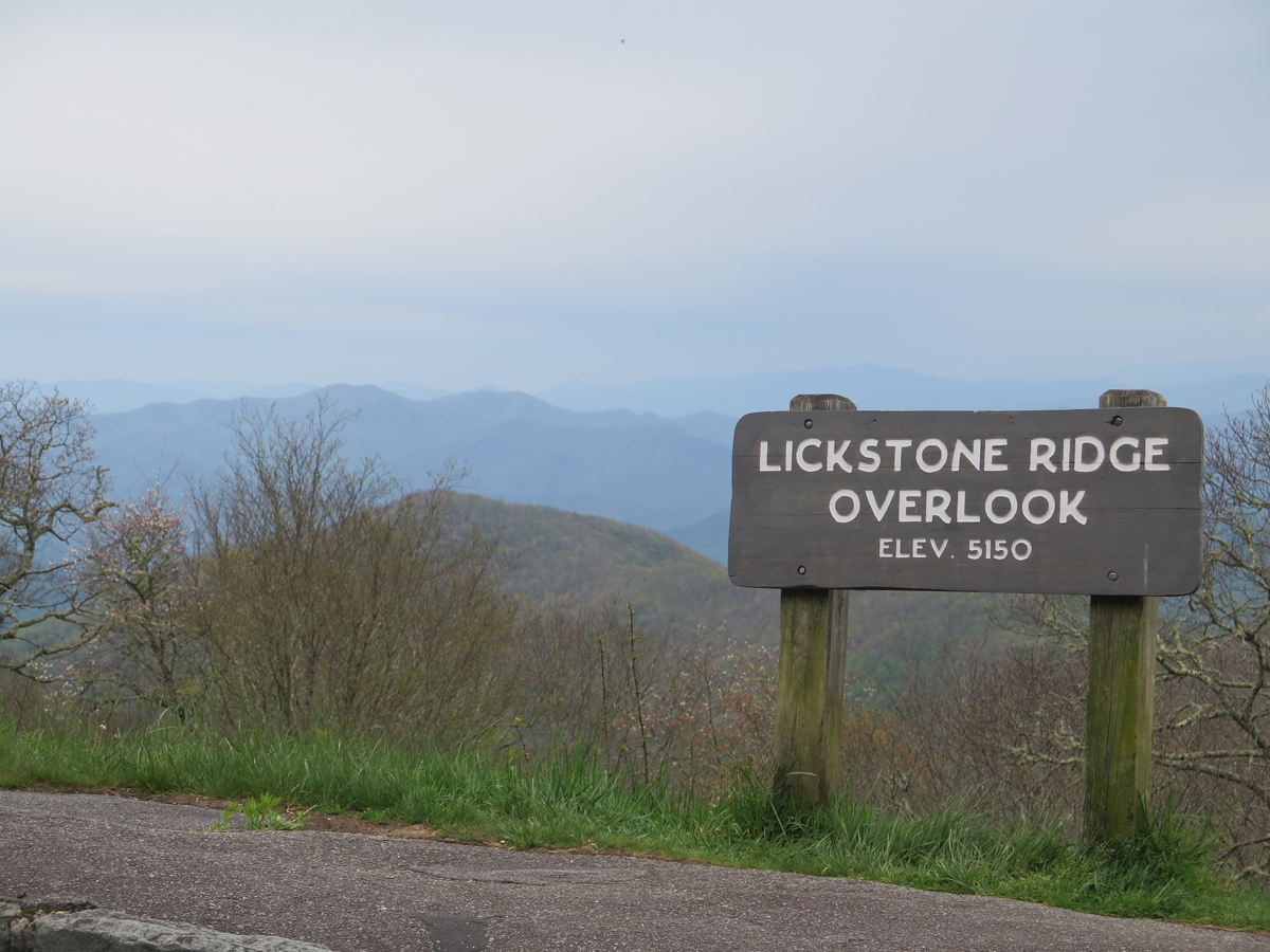
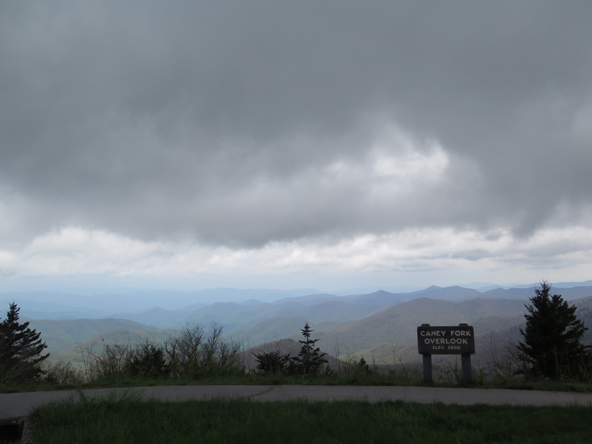
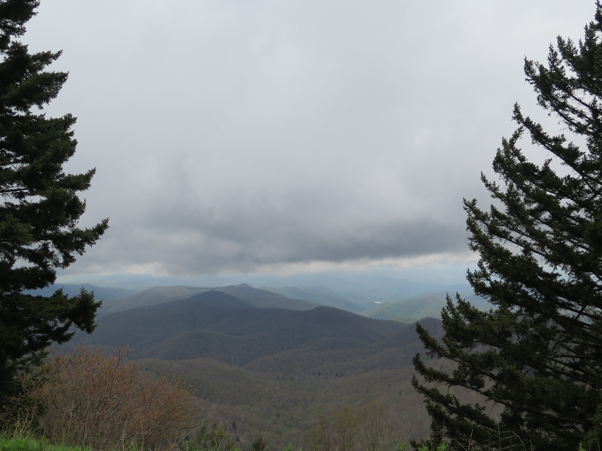
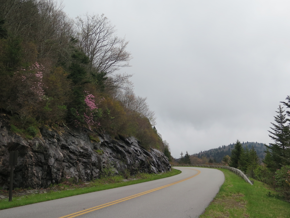
So I headed back toward Maggie Valley. I couldn’t resist stopping for some pics along the way, figuring I might as well make the most of my outing while the weather held. Here are some snapshots I judged to be worthy of sharing. Many are grainy because it was so overcast.
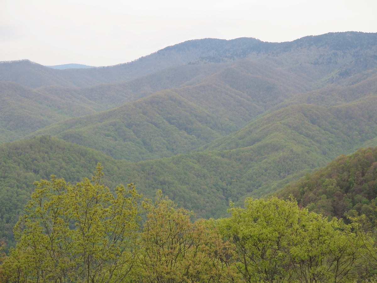
It was interesting to see the difference in the foliage at lower and higher elevations. I hadn’t expected to see so many bare trees. You’ll see the change as I move from lower points near the end of the Parkway, up and into the mountains.
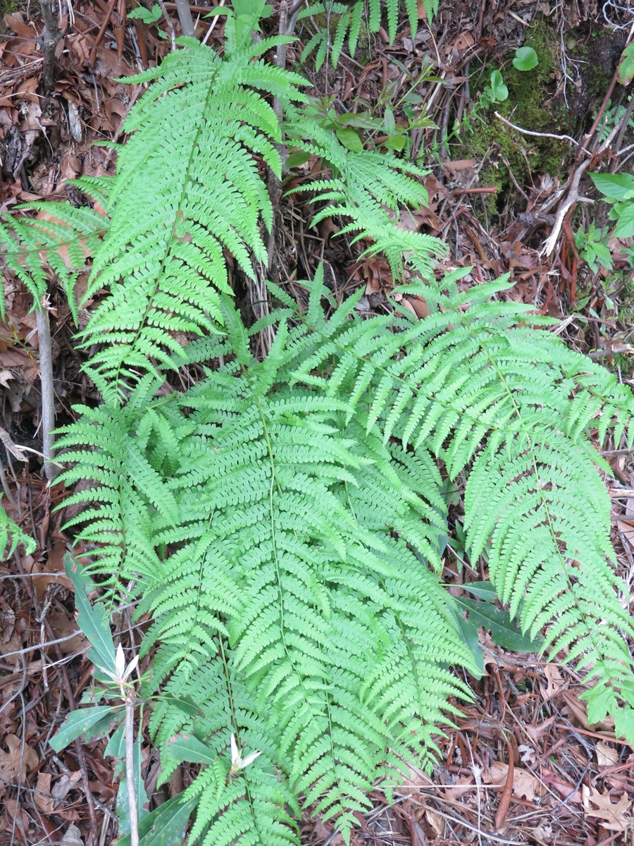
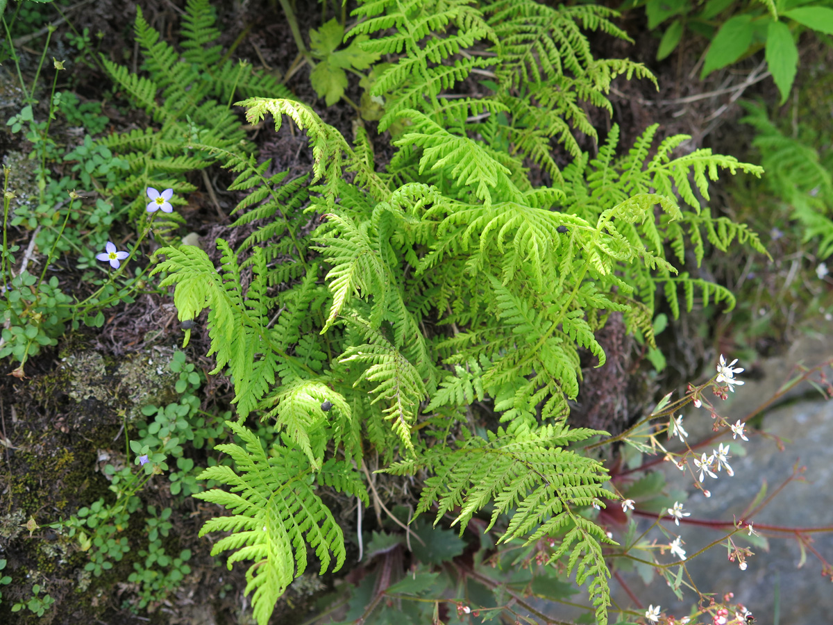
Ferns
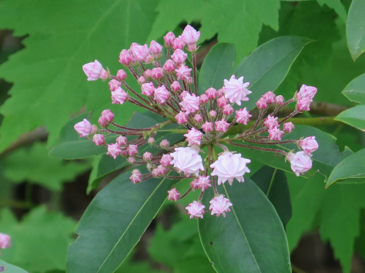
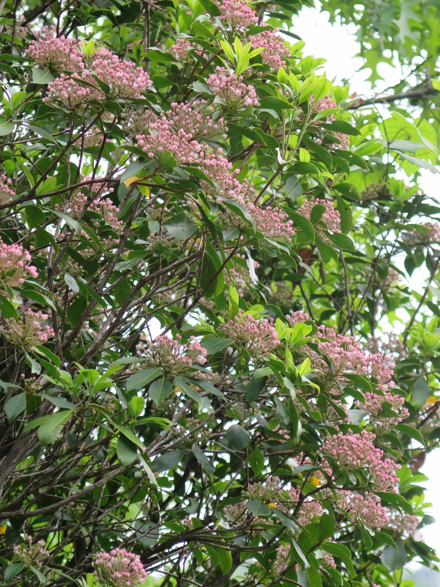
Mountain Laurel
Mountain Laurel
Natural Hearts
Still pretty green, right?
Looking a bit browner.
Teeny Tiny Little Blossoms
Green at lower elevations.
The hilltops were still mostly brown.
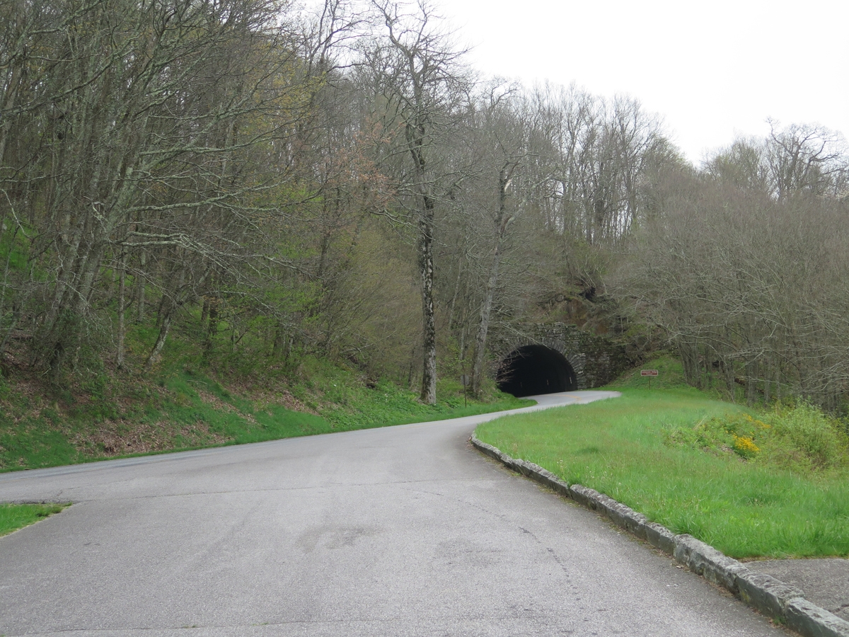
Odd name for a tunnel.
You can see the sky getting grayer.
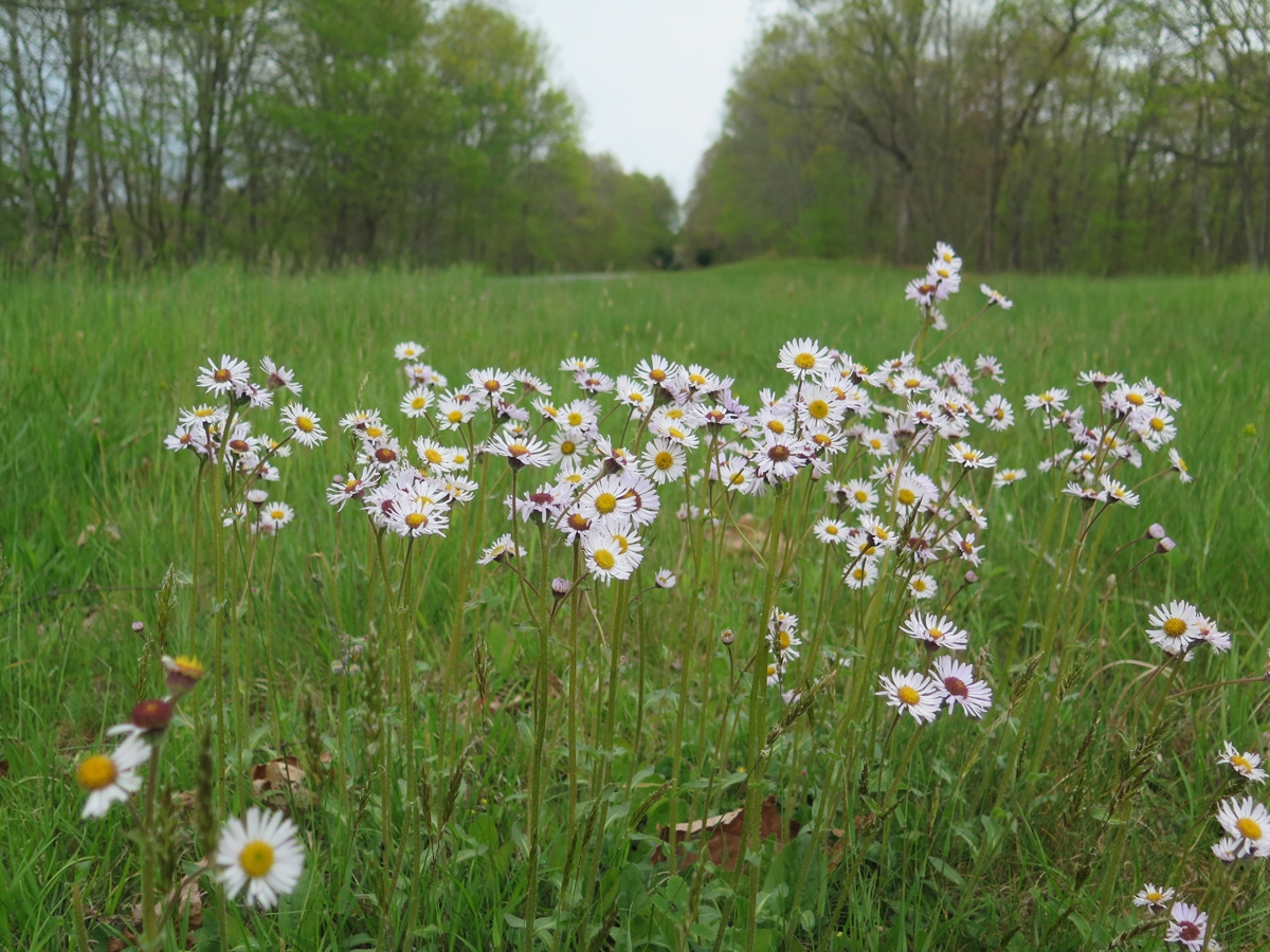
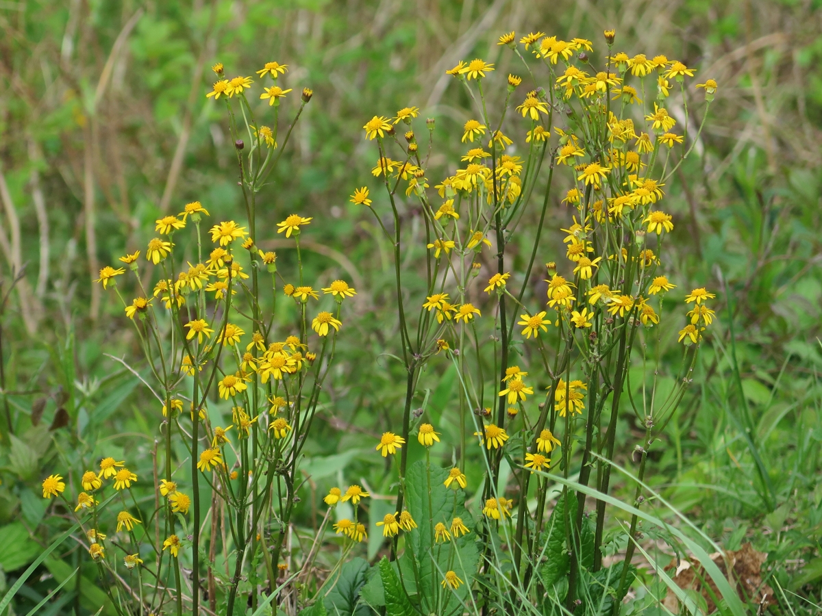
Pretty little yellow flowers.
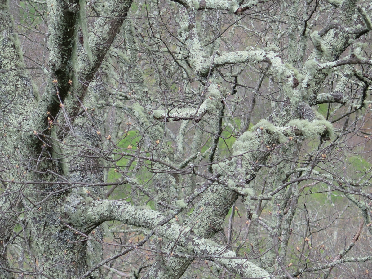
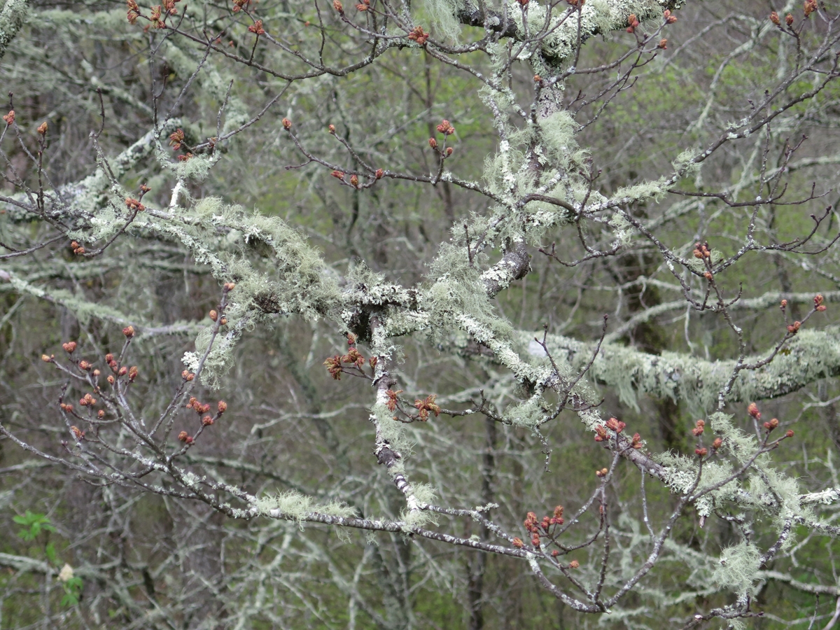
Moss and lichen-covered trees.
Moss and lichen-covered trees.
Not much green at all.
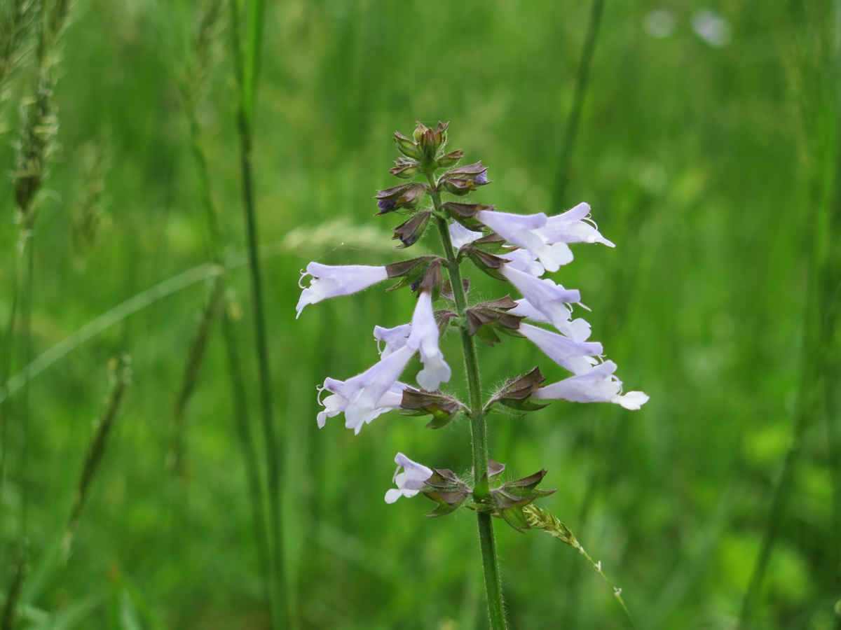
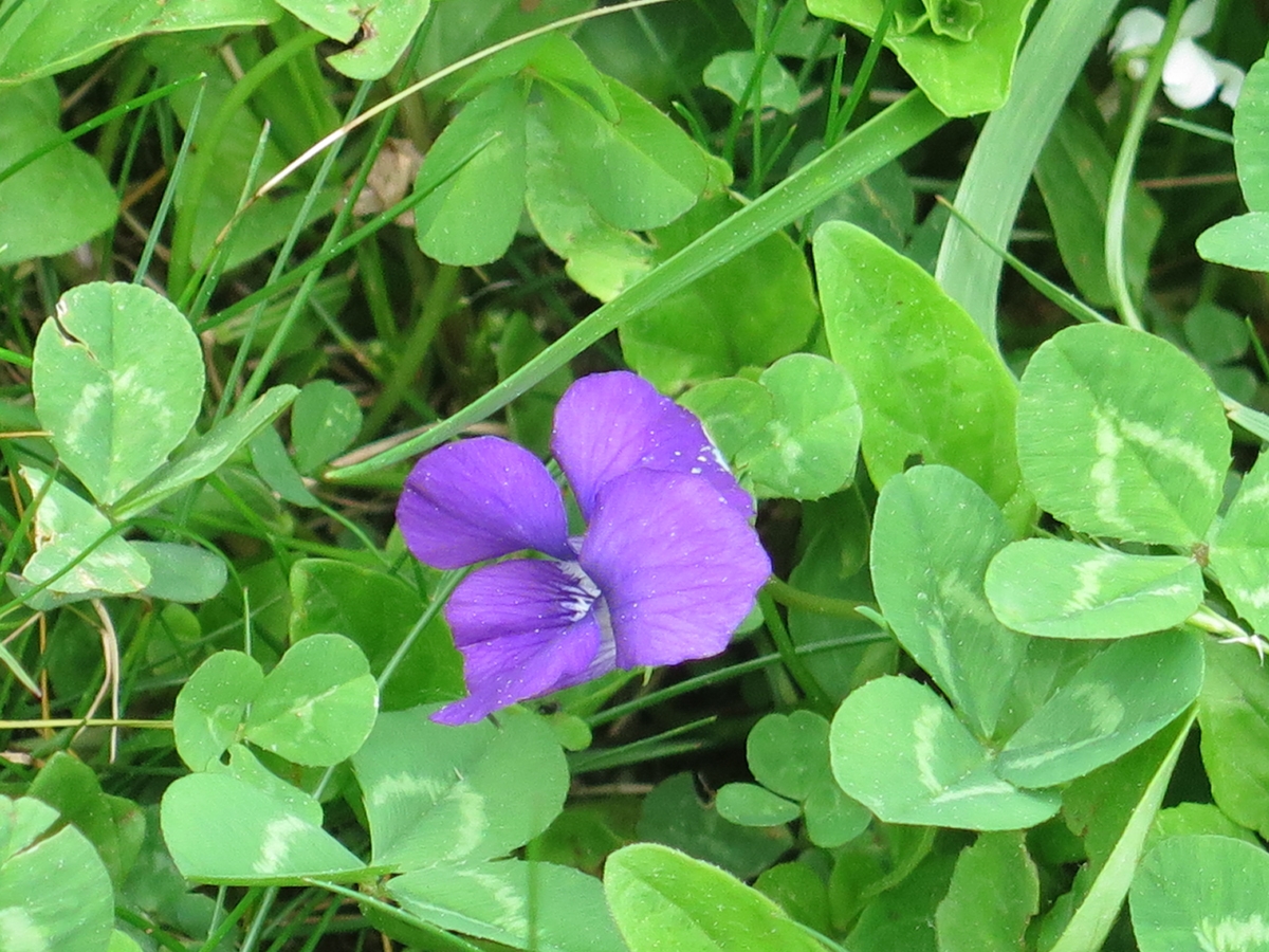
Tiny purple flower.
Wintry-looking.
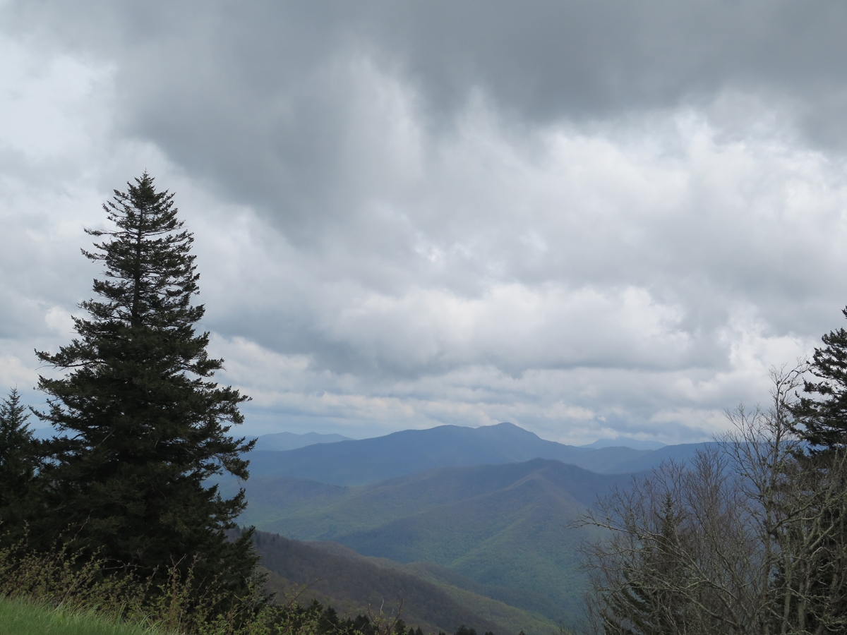
If nothing else, I got to see some pretty cool clouds moving in. It was getting colder, too.
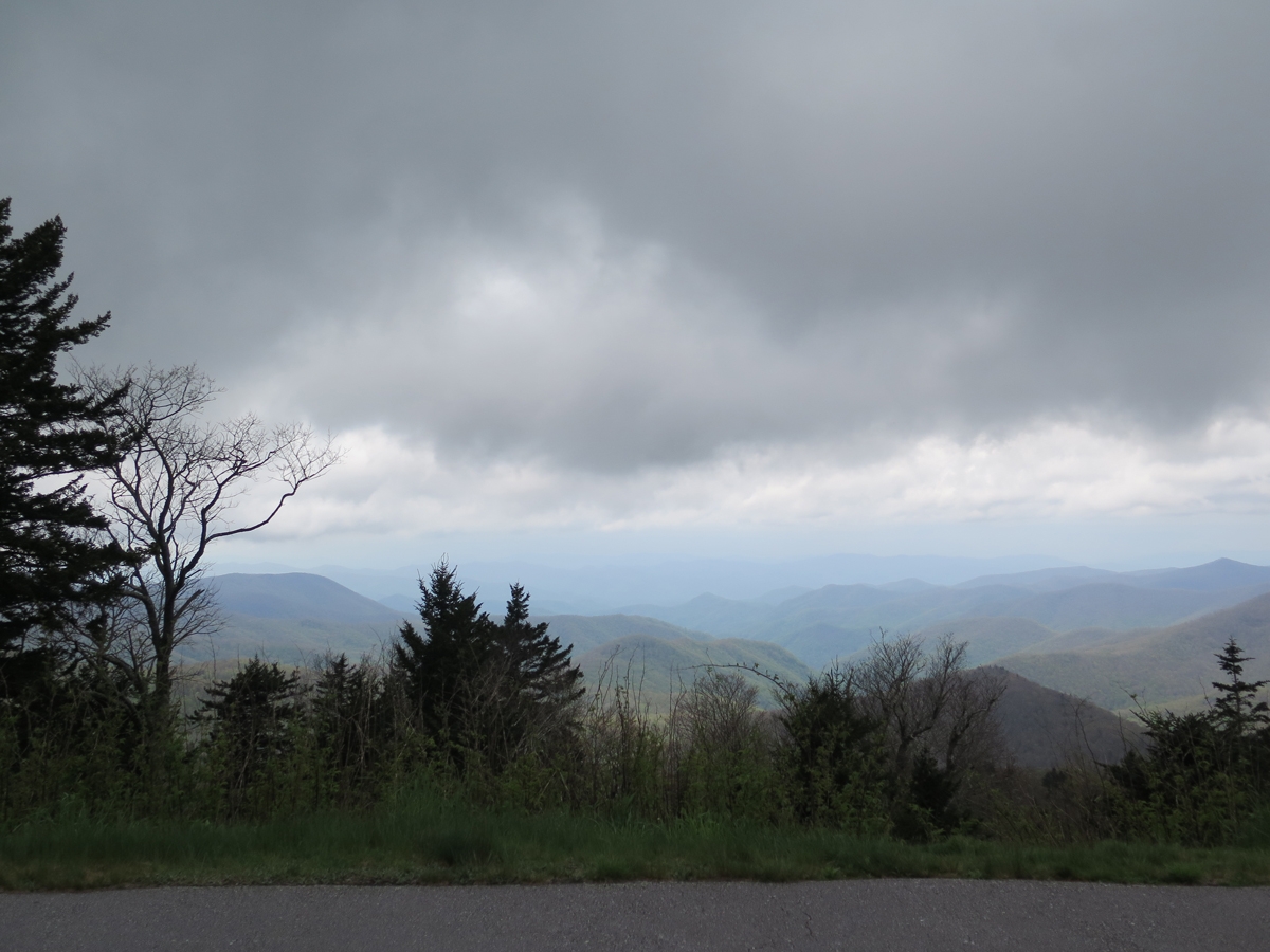
Menacing Clouds
Menacing Clouds
It sure looked like I was about to get rained on.
Cool Clouds
Hints of Pink
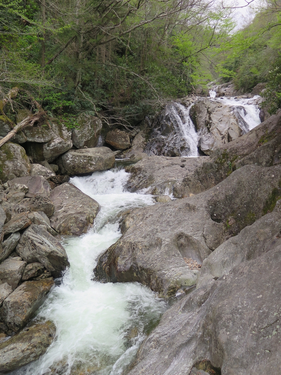
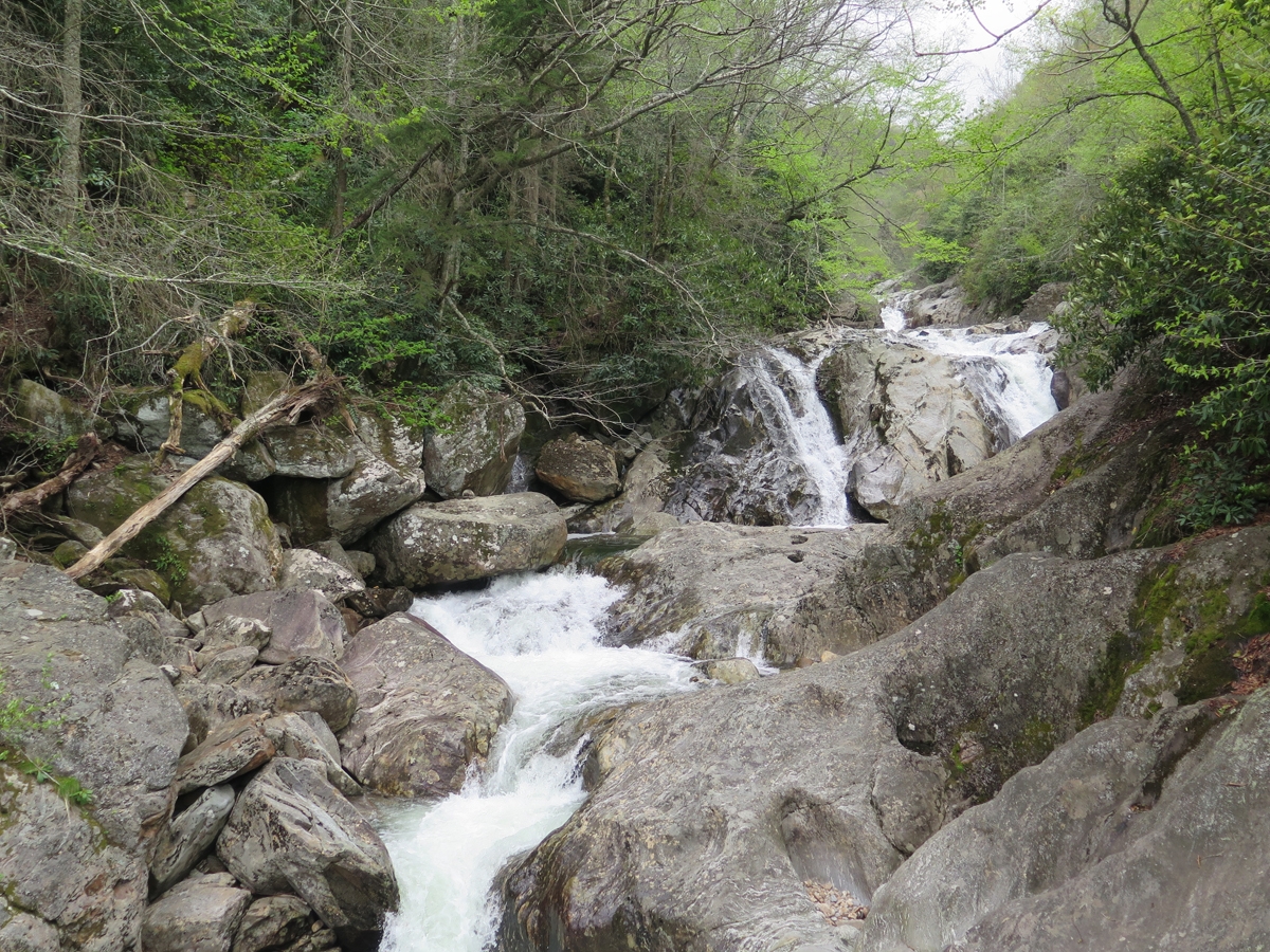
Roadside Cascade
Same cascade.
Temps were in the upper 40s by the time I decided to head back to my motel. So that was my morning.
Final note… this post has been in the works for a week. I caught a stupid head cold/upper respiratory think that’s had me coughing/hacking/gagging and blowing my nose for a week. As an extra bonus, each day ended with a pounding headache, too. Last night’s was so bad, I thought maybe I was dying. Needless to say, we didn’t do any riding over the long, holiday weekend. Maybe this coming weekend I’ll feel better.
There’s a natural way to get high that not enough people experience.
When’s the last time you went to a national park “just because”? Or stopped to smell a flower, sit quietly by a babbling brook, or simply look at the sky?
Heady stuff, really.
Even though my recent Appalachian ramble was mostly about riding, I appreciate natural stuff, too. And, heck, the Blue Ridge Parkway (BRP) is a national park of sorts. As explained on the BRP’s FAQ page…
Is the Blue Ridge Parkway a national park? The National Park Service administers a variety of kinds of areas. Some of these are “parks”, some are called “seashores”, some are called “monuments” or “historic sites”, and some are called “parkways.” We wear the same uniform and operate under basically the same rules as Yellowstone, Gettysburg, or Cape Hatteras. Our agency web site at http://www.nps.gov will give you the entire list!
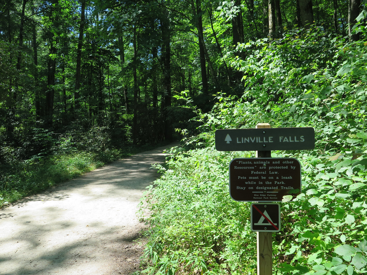
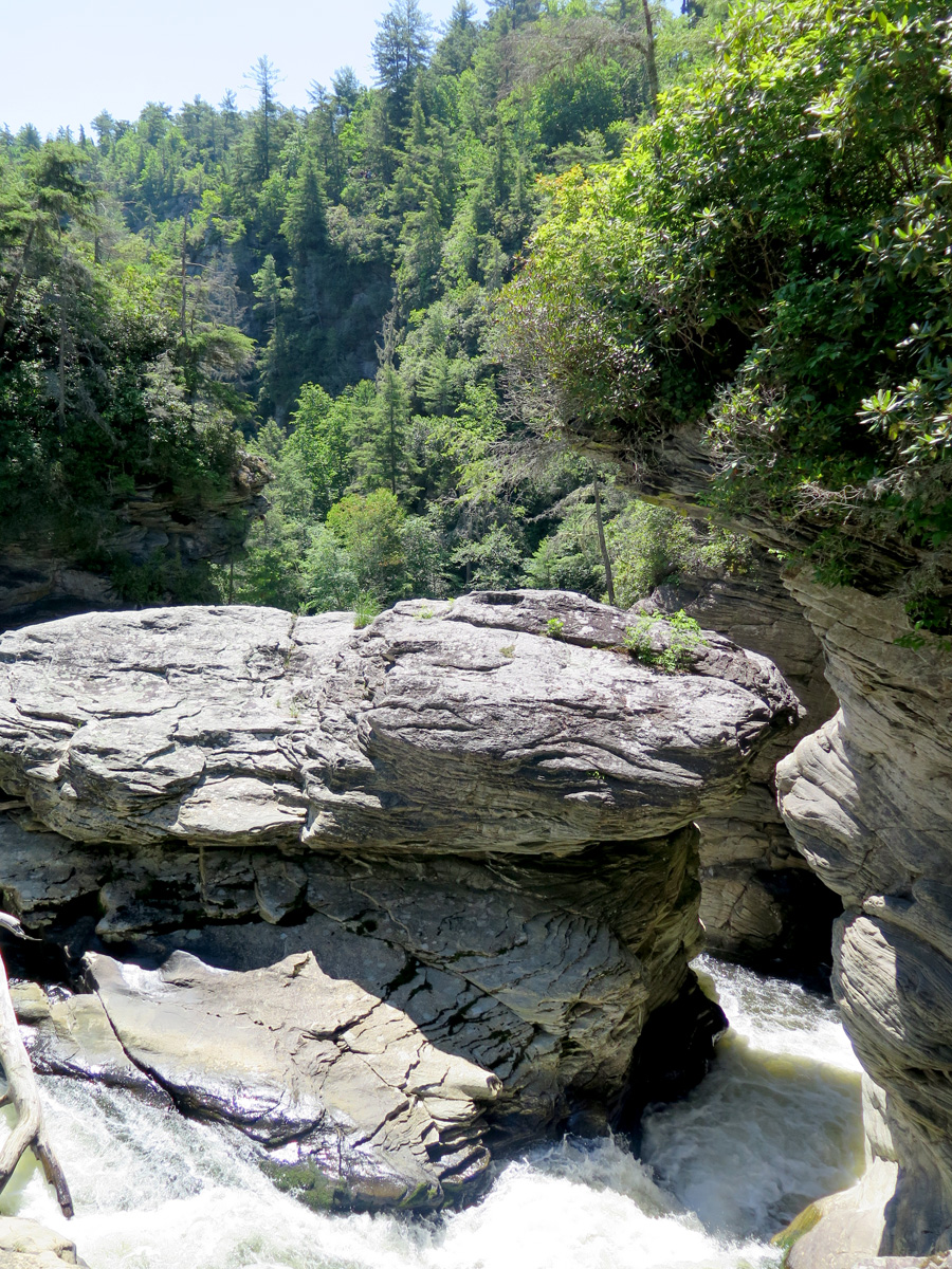
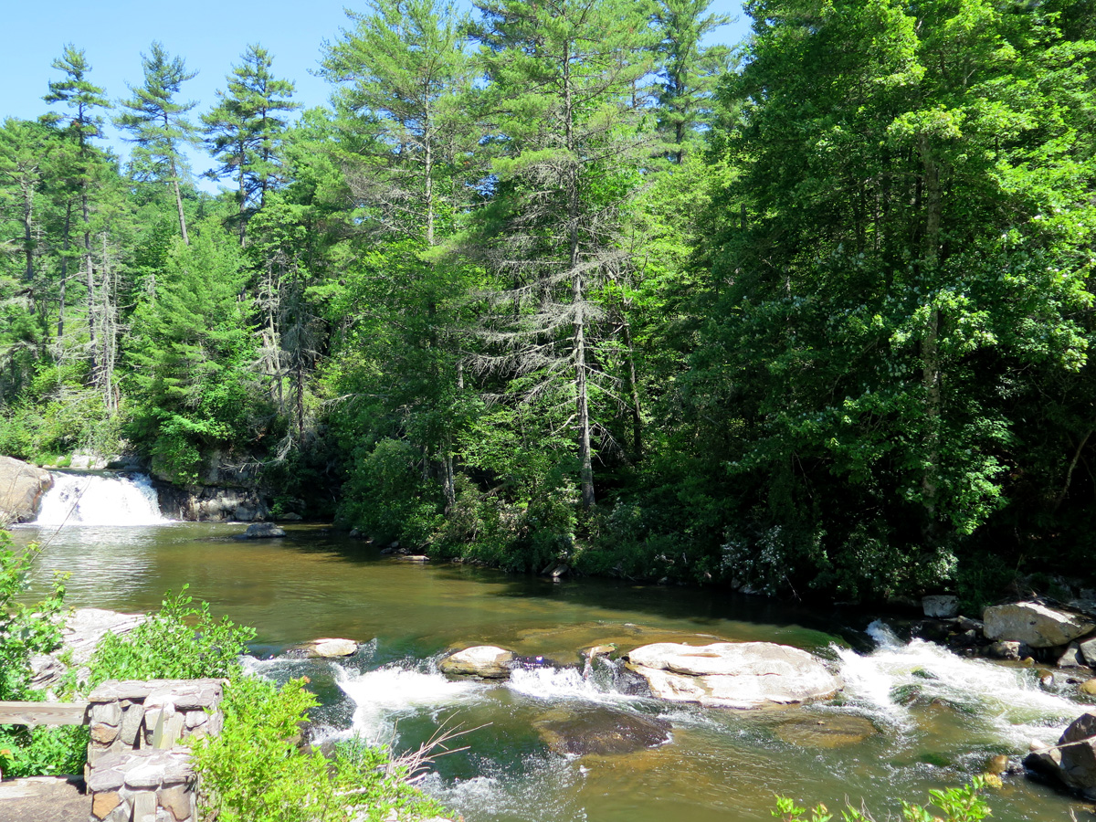
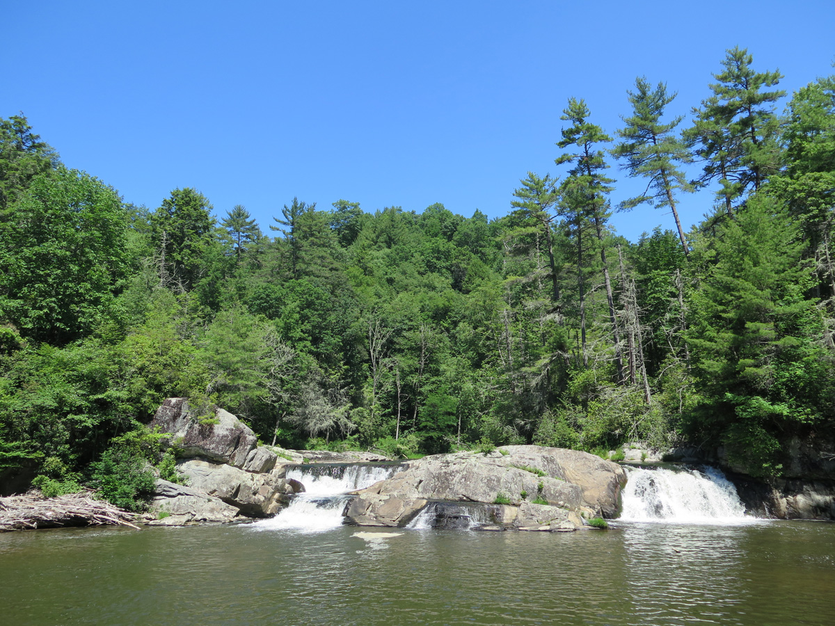
I wasn’t exactly dressed for a hike, but the walk from the parking lot was relatively short, and well worth the sweat it induced.
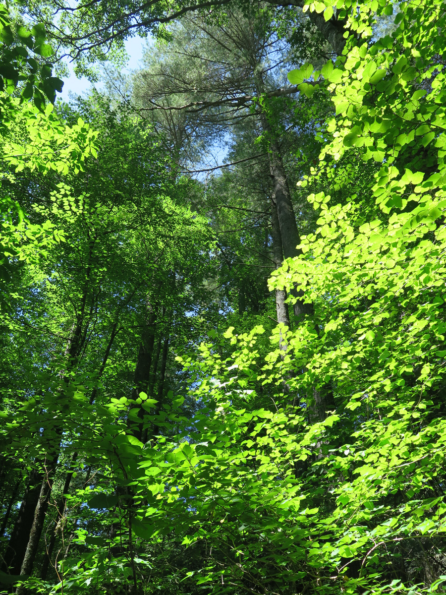
It sure was green.
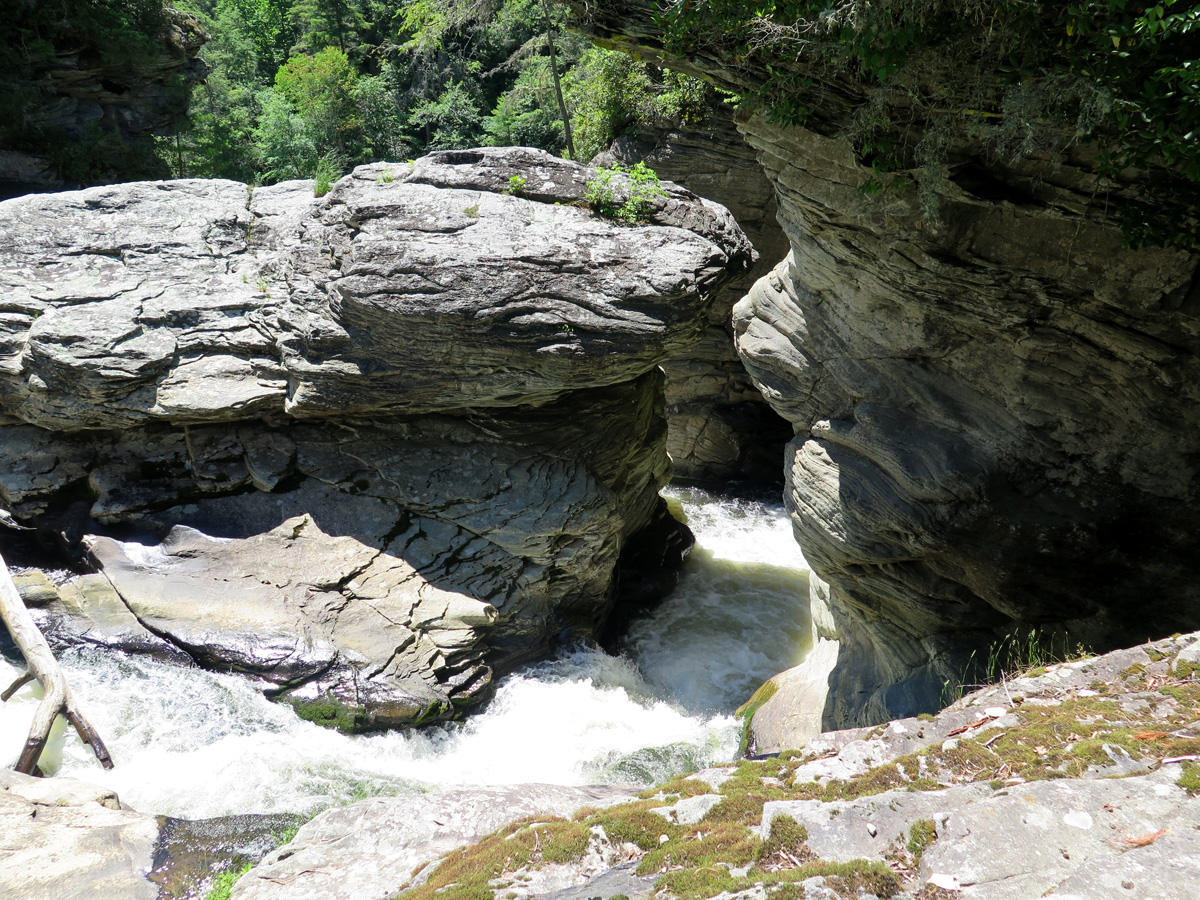
Lower part of the waterfall.
Different angle.
Middle section of the falls.
Upper, twin cascades. (I made up all of these names.)
There were actually quite a few people around, I just framed my shots carefully to exclude the strangers.
I found THE spot!
And, look at this, you can literally and legally get high, too. For free.
Couldn’t resist stopping here.
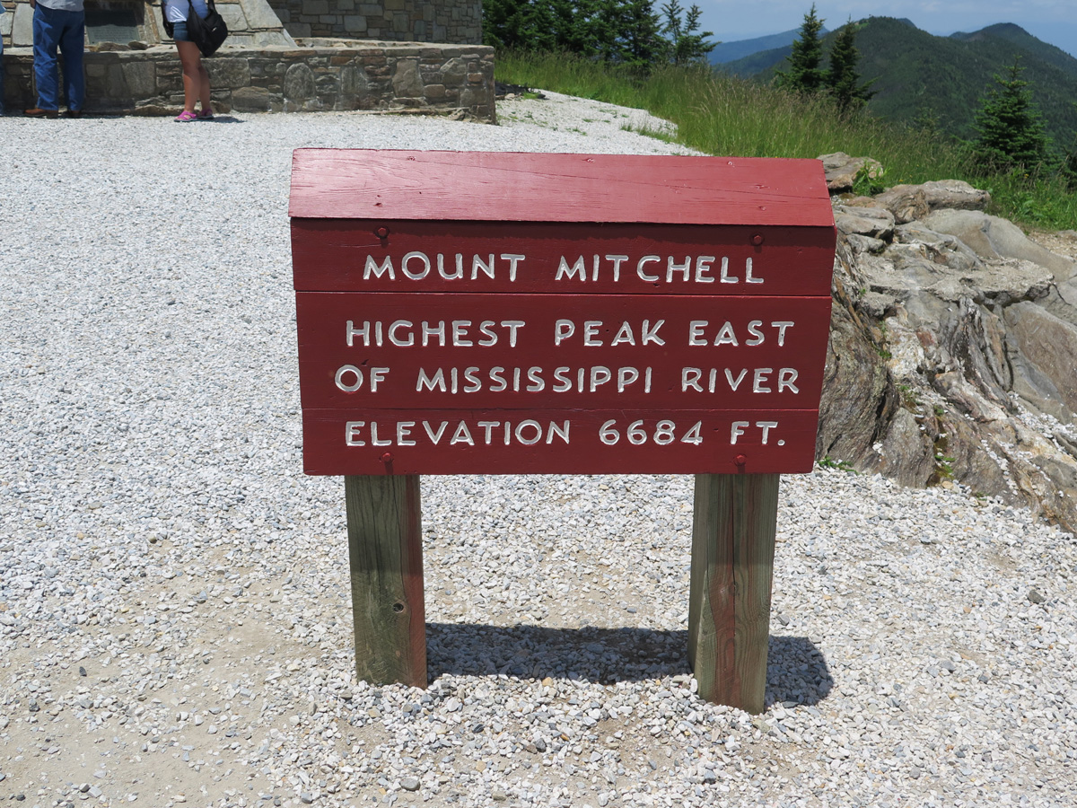
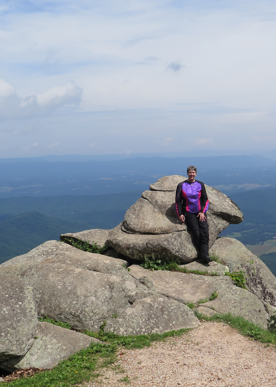
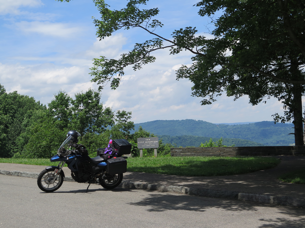
This is the place that was inundated with weevils. You actually get to drive most of the way to the summit. From the parking lot a short, but steep, walk gets you to the high point.
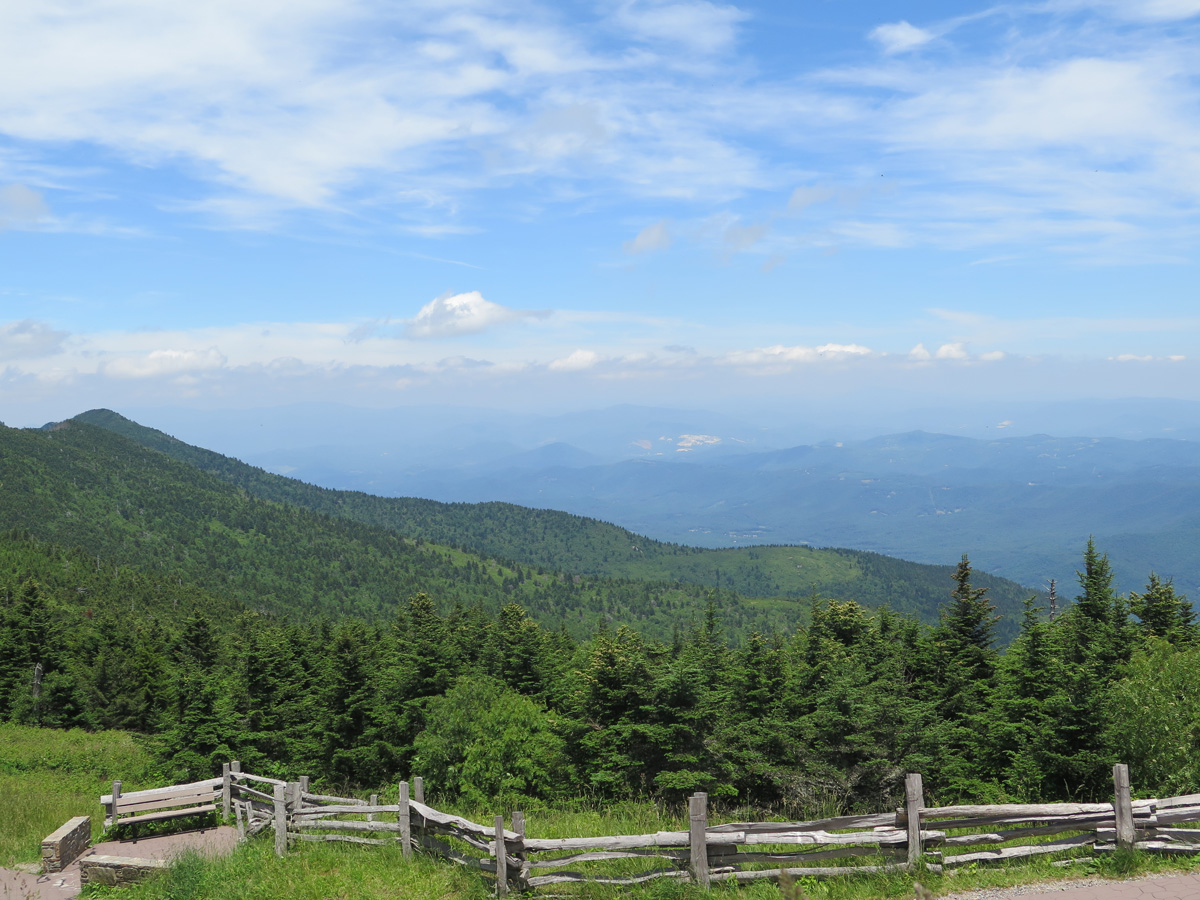
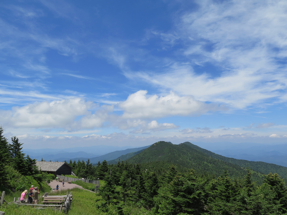
View from Mount Mitchell
View from Mount Mitchell
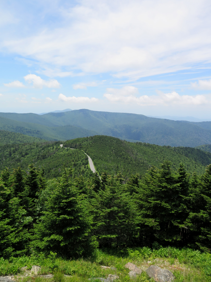
The road leading back to the BRP.
Micro Ferns (I made that name up, too.)
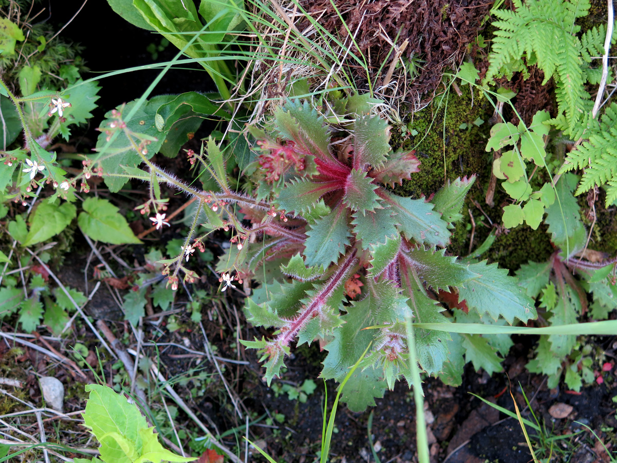
Interesting Plant
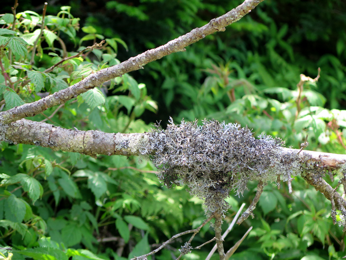
Lichen on a branch.
The plant pics were all taken between the parking lot and the mountain’s actual summit. It was a great way to stop and catch my breath without looking like a total wuss that couldn’t make that short, steep trek without getting winded.
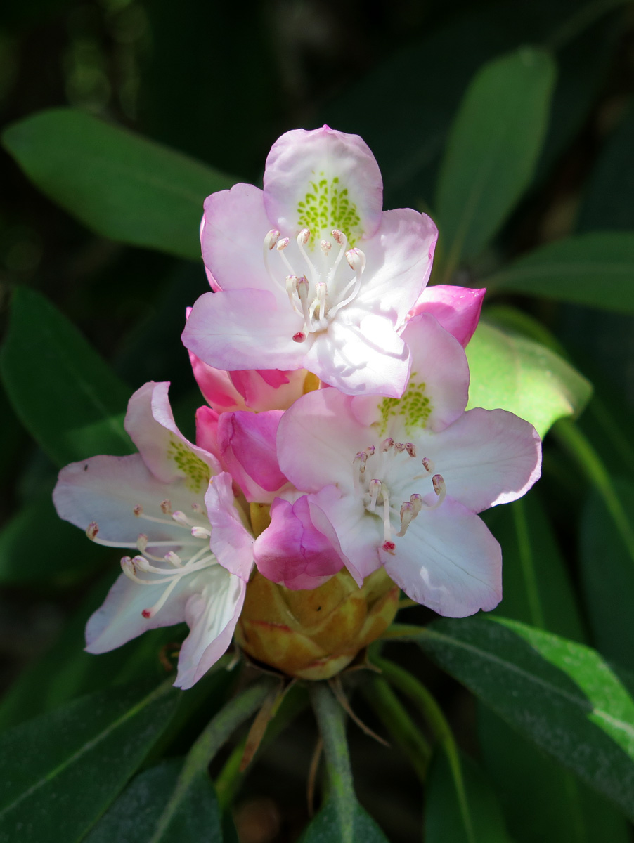
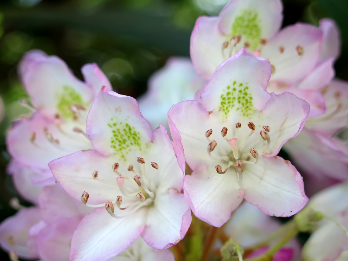
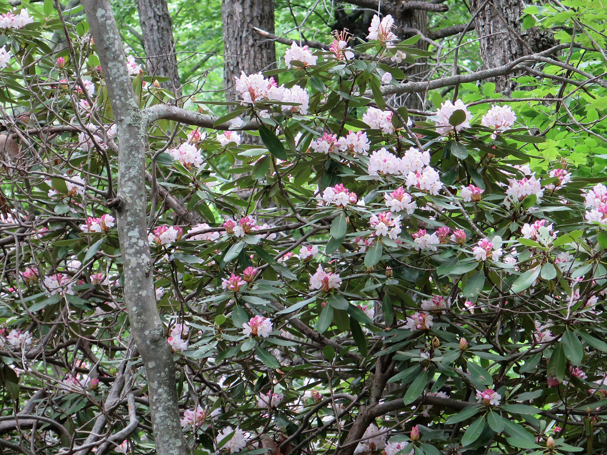
After enjoying the view and having to ask some stranger to brush all the bugs off of my back, I hopped on the bike and headed back to the BRP. A bit later, I stopped at one of the visitors’ centers/exhibit halls to stretch and use the facilities. That’s where I saw this beautiful, huge rhododendron.
Rhododendron
Rhododendron
Rhododendron
Rhododendron
Rhododendron
Yes, that’s a lot of pictures of the same flower, but I thought it was pretty.
On the road again.
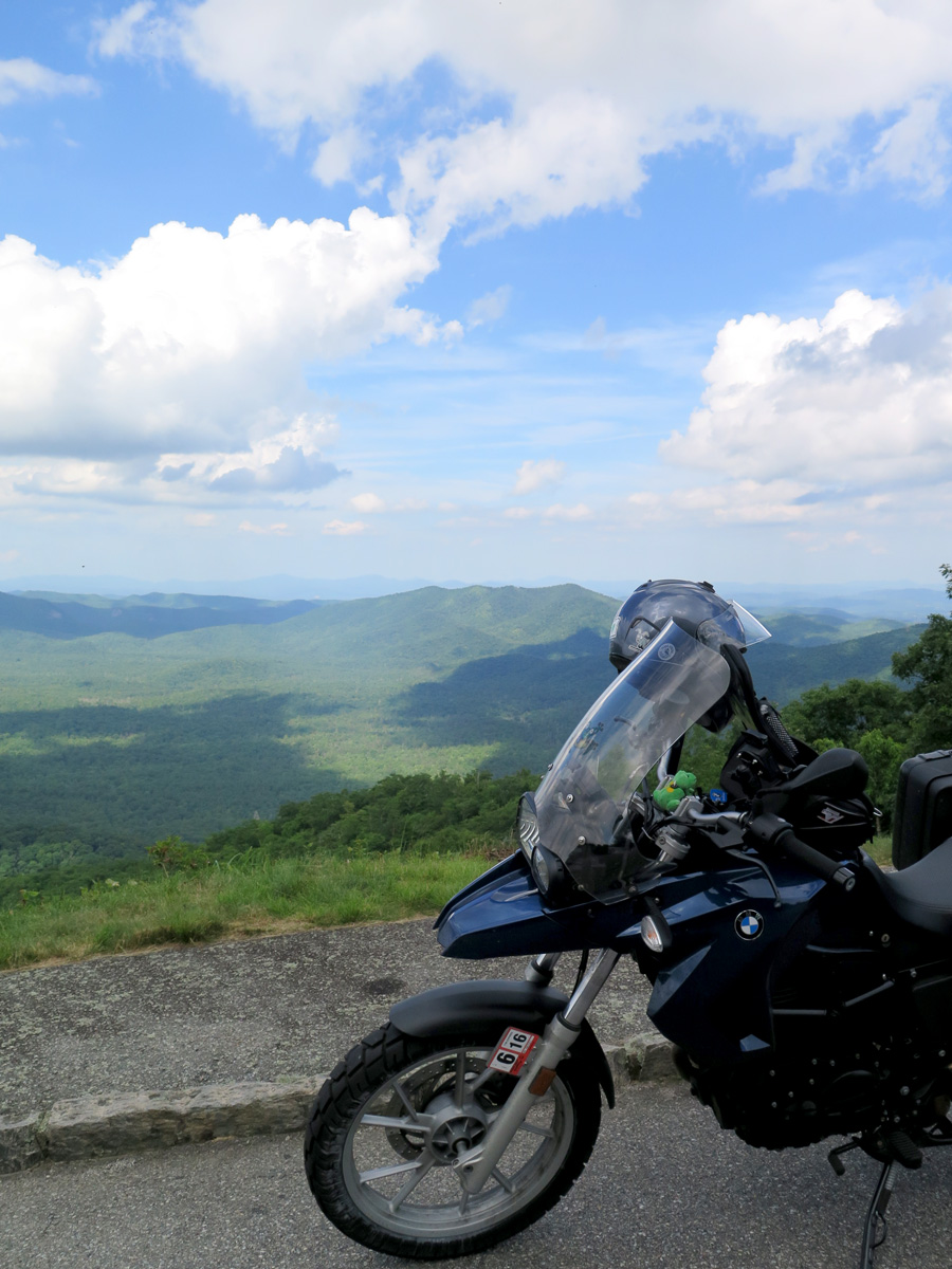
It really was a pretty day. I’ll close this post with another of my favorite bike shots.
High Overlook
There are times when the BRP, being in the mountains, is completely fogged in, making it impossible to enjoy the stunning views that seem to be around most corners.
The weather Gods were certainly smiling upon me that day.
Since I spent the first two days of my recent adventure on ONE road — the Blue Ridge Parkway (BRP) — I figure I should give y’all a decent description of the thing. Especially considering that many of you aren’t from this area, or even the US. And honestly? I’ve been on that road once before, but, for some reason, the first time didn’t exactly leave a lasting impression. The second time did.
The BRP is 469 miles (~755 km) long. It’s location is described best on the BRP’s FAQ page , in response to the question, “Where, exactly, is the Blue Ridge?“:
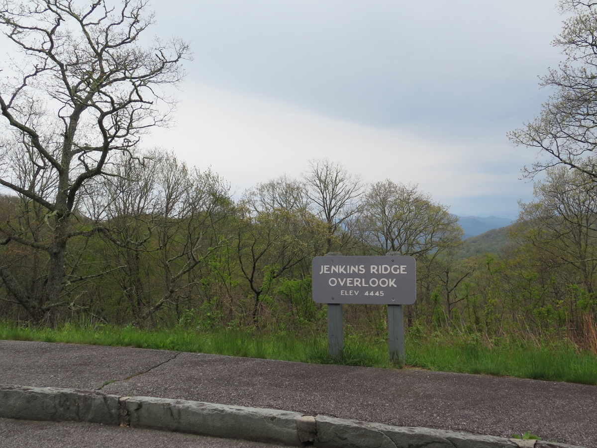
The Blue Ridge is part of the entire eastern Appalachian Mountains and is generally described as stretching from north Georgia into Pennsylvania. From Milepost 0 at Rockfish Gap, VA to Milepost 355 near Mount Mitchell State Park, NC, the Parkway lives up to its name by following the crest of the Blue Ridge Mountains, averaging about 3,000 feet in elevation, and occasionally dipping down into the coves and hollows or crossing low-elevation water gaps. At Mount Mitchell, the Parkway veers westward through the Black Mountains, then into the Craggies before descending toward Asheville. From there, the road climbs to elevations over 6,000 feet in the Balsam Mountains before entering the Great Smoky Mountains National Park near Cherokee.
The more I think about it (what little I can remember from a trip that happened eight years ago, where Hubby planned all of the routes), we only did a piece of the BRP during that ride. We got onto the Parkway around Lynchburg, Virginia, and I think we got off near Asheville, North Carolina to take a shorter/faster route to Robbinsville, NC, where we’d rented a cabin.
If that’s true, we missed the last 90 miles of the BRP, and I think that’s the most dramatic piece. The North Carolina end is where the mountains are tallest and the road is the curviest, anyway.
Don’t get me wrong, I enjoyed the whole Parkway, but the northern end in Virginia isn’t as high elevation-wise, and it’s more forested. There seemed to be a lot more flowers visible from the road in Virginia, too. Oh, and there was less traffic. Maybe because of the rains most folks knew would be moving through?
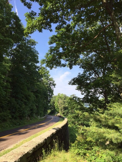
Anyway… this post is about the road itself. Is it as pleasant as everyone would lead you to believe? Yes, it really is.
There’s a 45 m.p.h. (72 km/h) speed limit, which applies to about 95% of the route. In some places, near visitor centers, exhibits, etc., it drops to 25-35 m.p.h. (40-56 km/h), but those are far and few between.
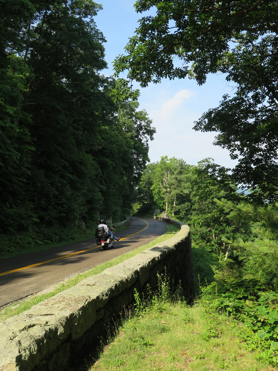
Blue Ridge Parkway
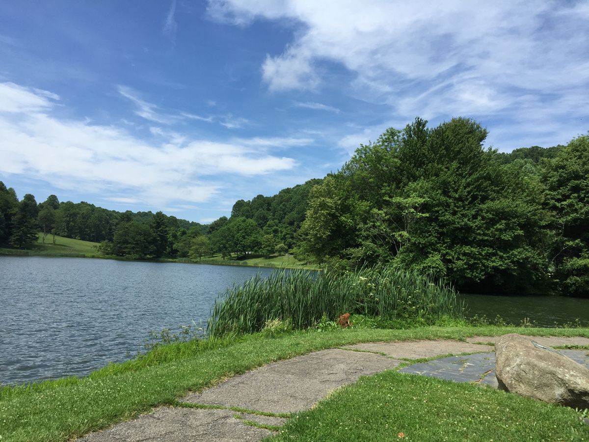
The road surface is generally good. There are a few rough spots, but not enough to complain about. And it’s very pretty, too, with lots of places to pull off and enjoy the scenic mountain vistas, burbling brooks, or even just a bit of shade.
ToadMama
I had to do a quick u-turn after zipping past that awesome rock formation.
What rock formation? The one I’m standing in front of, blocking.
Face Rock
There were two riders from Canada admiring the view who watched me zip past. They looked at me quizzically as, about a minute later, I joined them from the other direction. It was a look that either said, “Is that a girl?” or “Didn’t you just cruise past here?”
“As soon as I saw that face on the rock, I had to turn around,” I said as I removed my helmet. “Face?” one of the guys said before they both turned to see what I was seeing.
How could they NOT see a face on that rock? More proof that people really do see things differently.
Most of the still images shared here were taken in Virginia.
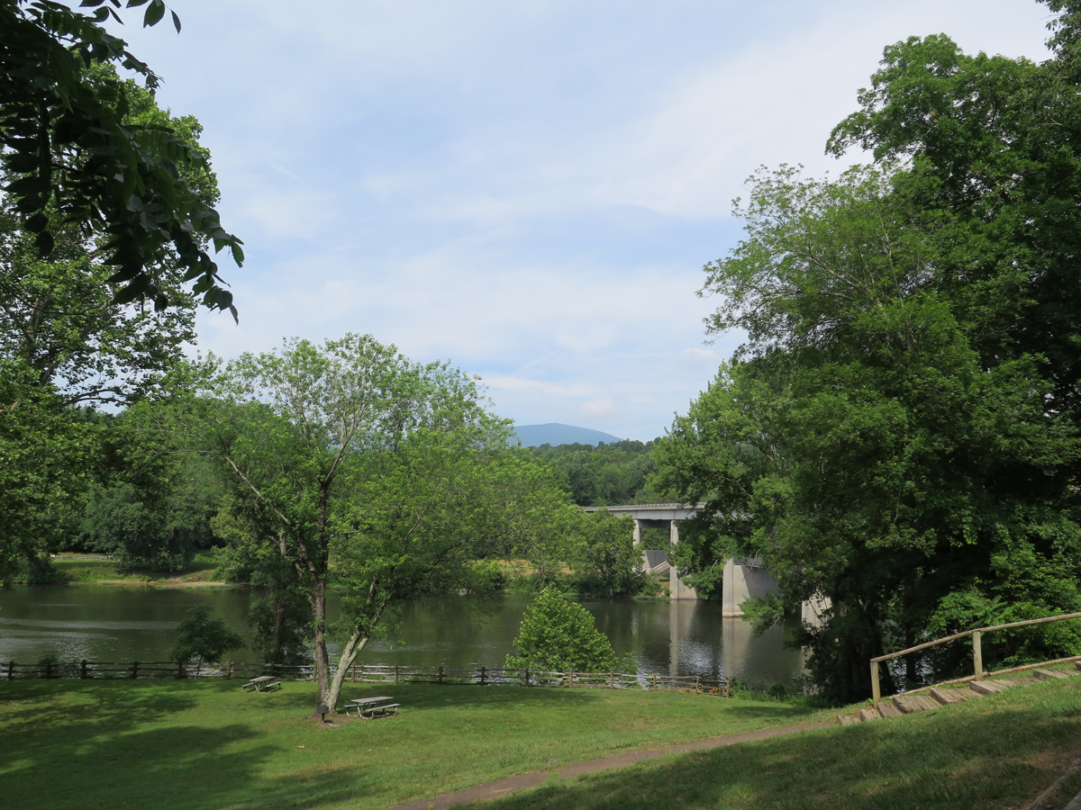
James River Visitors’ Center
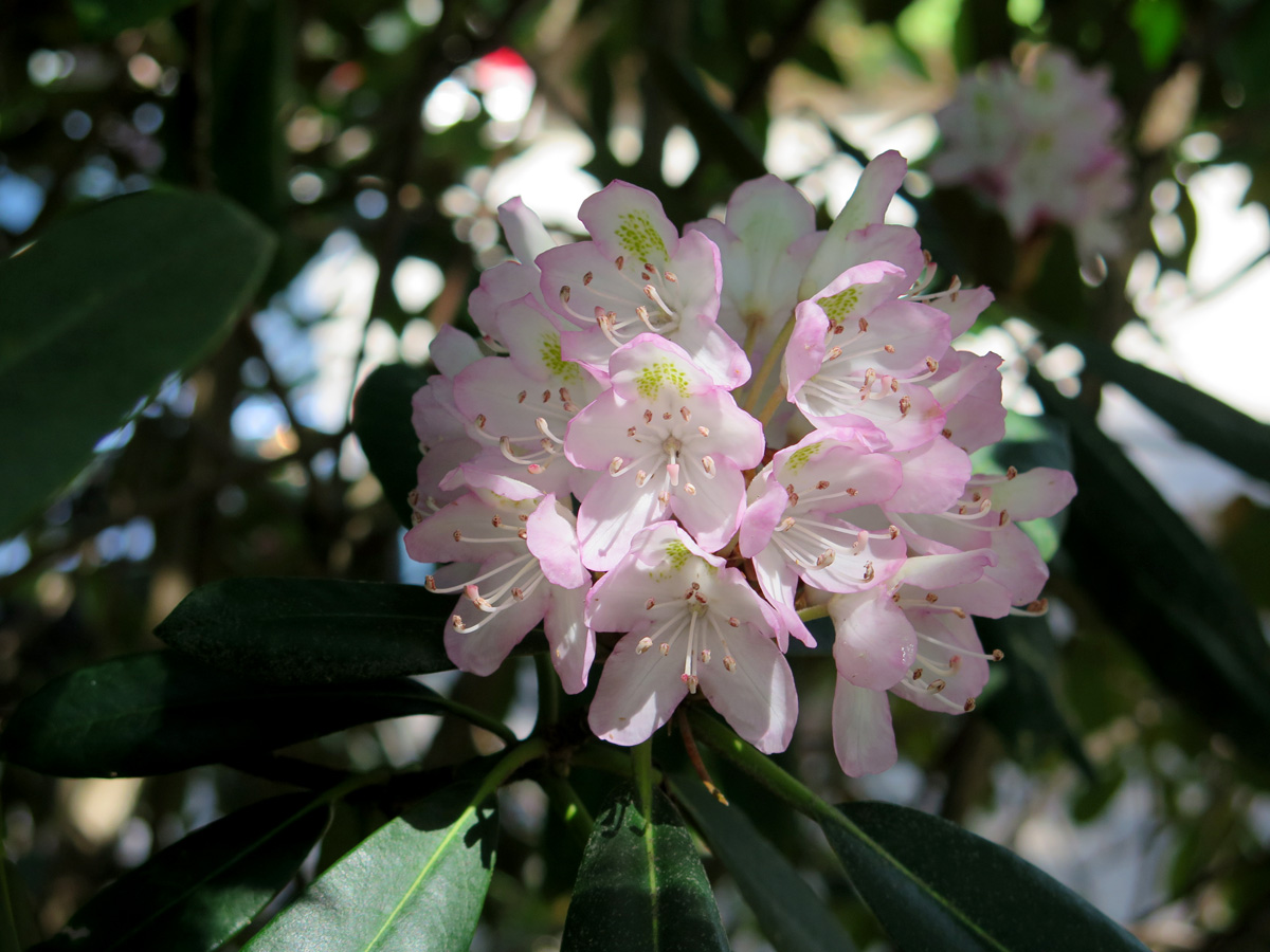
Rhododendrons
I only shared one flower image so, if you watch my video and see me pointing out two lone examples of small bushes in bloom, you won’t imagine that flowers only appear along the drive sporadically. In some spots, the road cuts through literal forests full of rhododendron. It was amazing. I forgot to mention that the BRP cuts through four National Forests (George Washington, Jefferson, Nantahala, and Pisgah).
Shady Stretch Spot
Lunch Spot at the Peaks of Otter Complex
The next picture shows the thunderstorm I managed to wait-out at the tiny little Rocky Knob visitors’ center.
Storm!
I wasn’t the only one thinking, “Uh oh!”
Bicyclist Woes
The storm I rode through.
Saturday afternoon did get a bit stormy, but it was no big deal. That’s why they make rain gear, right? And, actually, it seemed to chase most people off of the road, so there was even less traffic after the rains came. And there was already very little traffic to start! 🙂
The weather on Sunday was much nicer.
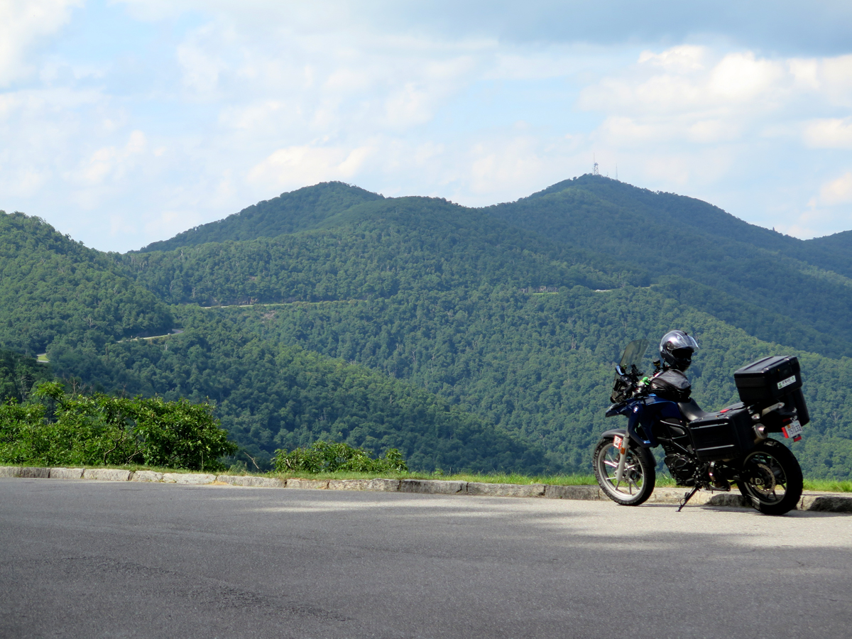
Parked at an overlook in North Carolina, you can see the Parkway on the opposite ridge.
My Favorite Overlook
Pretty Blue Sky
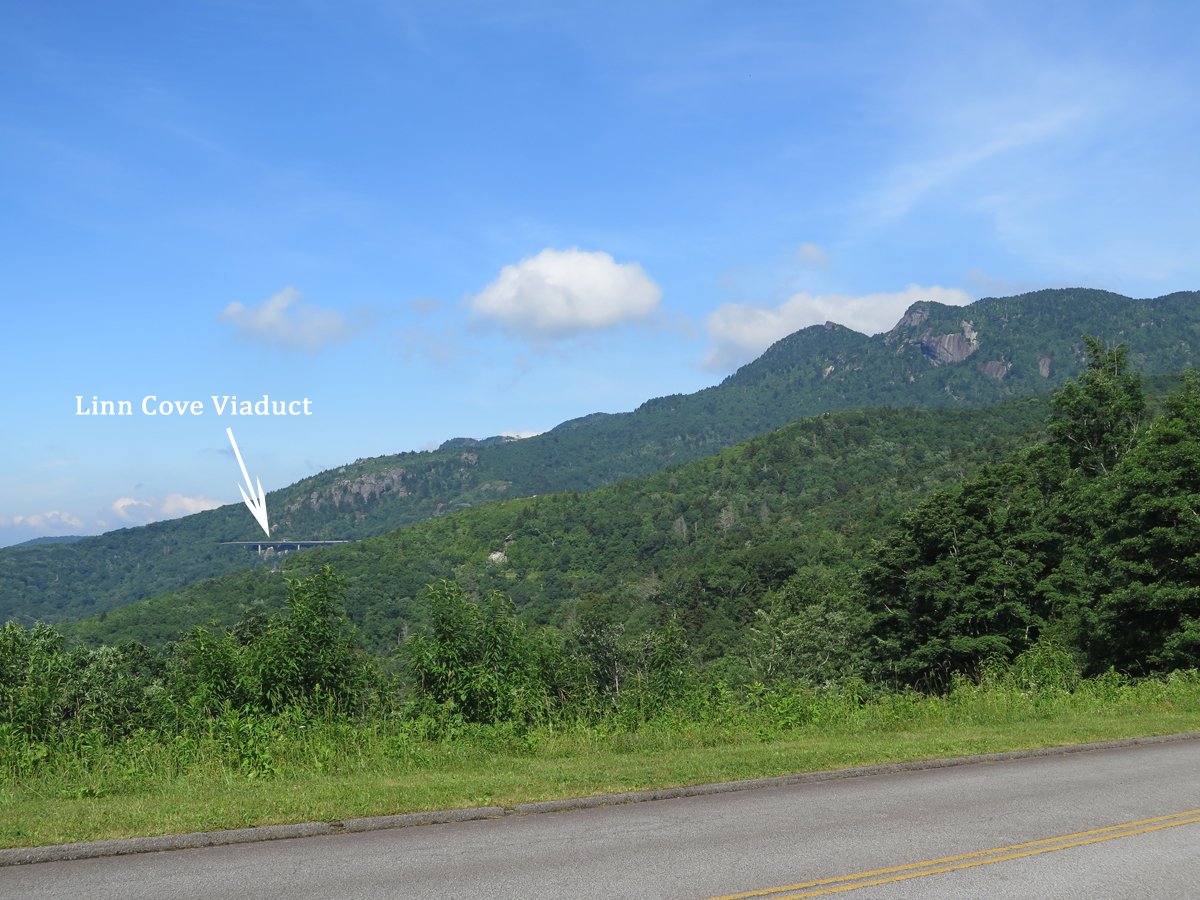
I hadn’t been planning on shooting any video until I reached The Dragon, but, once I saw the Linn Cove Viaduct, which is basically a bridge hanging off the side of Grandfather Mountain, I figured I owed you all more than just a picture. But I’ll start with a picture.
Can you see the grandfather’s face? (He’s laying down, looking skyward.)
The viaduct itself was really cool. After I rode across it, I HAD to go back for the video.
If you have a couple of minutes, you should at least watch the first part, so you can see the viaduct, and the way it’s suspended from the mountain.
If you’re interested, you can learn more about the viaduct’s history and construction HERE.
I’ll share more pics eventually, of the flowers and stuff. Oh, and the waterfall. For now, if you’d like more information, here’s a link to the BRP’s National Park Service home page.
I never did snag my own picture of the BRP’s coolest road sign ever, so I’m sharing this one from RoadRunner Travel…
Those of you who have ridden all or parts of the BRP, do you think it’s a must-ride road?
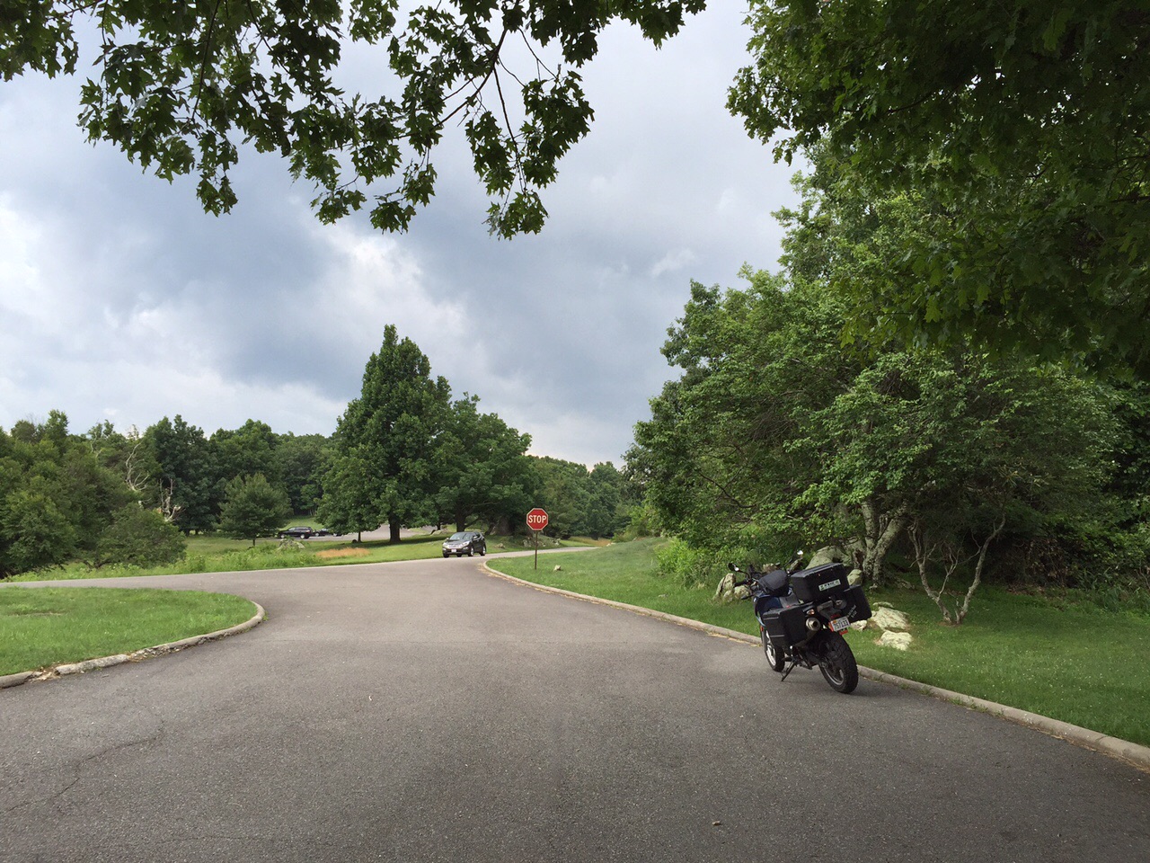
I finished the Blue Ridge Parkway (BRP) today. It’s been amazing. Really.
I ended up leaving the house at 6:45 a.m. on Saturday. That’s earlier than I’d planned on leaving since a quick check of the weather radar that morning showed storms moving in a bit sooner than anticipated.
It was a good thing, too. I managed to reach the northern entrance of the BRP almost completely dry. I did hit a few very brief sprinkles, and the air was humid as all get-out, but that was it.
Hubby and I rode a section of the BRP in 2007. It didn’t make a huge impression on me for some reason. I’d been thinking of the road as a longer Skyline Drive. It isn’t. It’s WAY better.
The 45 mph (~72 kmh) makes a big difference. The road’s a bit more challenging, too, with quite a few descending radius turns. Oh, and Skyline Drive is 105 miles (169 km) long while the BRP runs for 469 miles (~755 km) along the crest of the Blue Ridge Mountains.
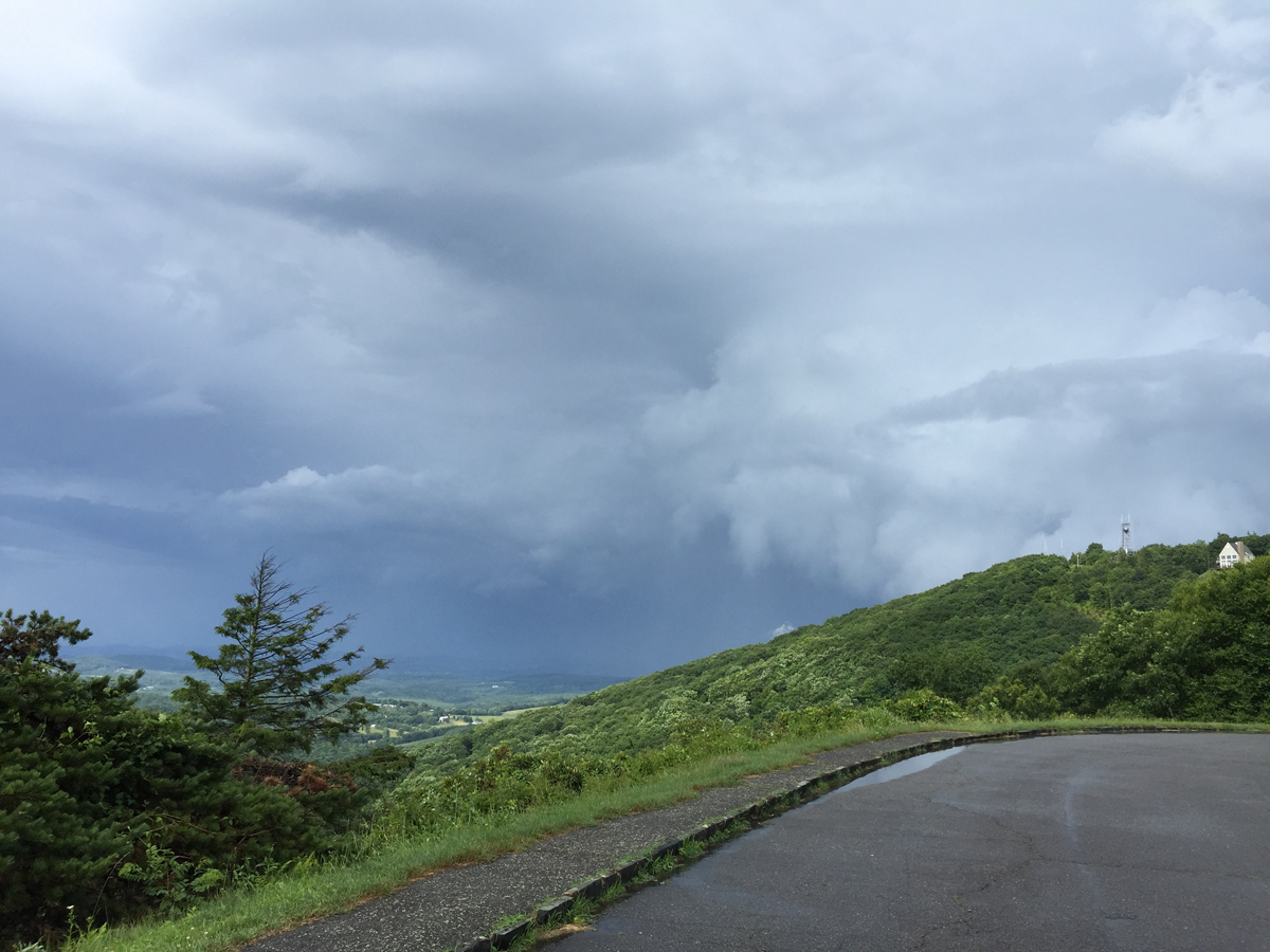
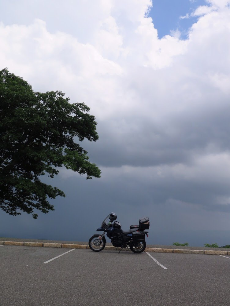
The weather was perfect for most of the day. Around 3:00, I noticed some clouds moving in. I stopped at an overlook near Rocky Knob to take this pic of a thunderstorm off to the east.
Ominous-looking storm.
Lot’s of other people were stopping, too. That’s where I captured this next pic, one of my favorite images of the day.
Ominous-looking storm.
After that, I rode through the picnic area looking for a bear, which took all of five minutes, and was going to continue south. Luckily I stopped at the little store to buy some water, because after leaving the store, I noticed another storm moving in south of me.
Ruh Ro
Since I have no timetable, I just stayed at the visitors’ center while that storm rolled through. It only lasted about 20 minutes or so, then the sky was blue once more, so I went on my way.
My luck didn’t hold. I finally had to don the rain gear after gassing up at Meadows of Dan, Virginia. How’s THAT for a town name. I rode through a couple of pretty good rain storms, and then one doozy of a storm.
After the doozy, I stopped at an overlook and captured this shot of the storm I’d ridden through.
Thunderstorm
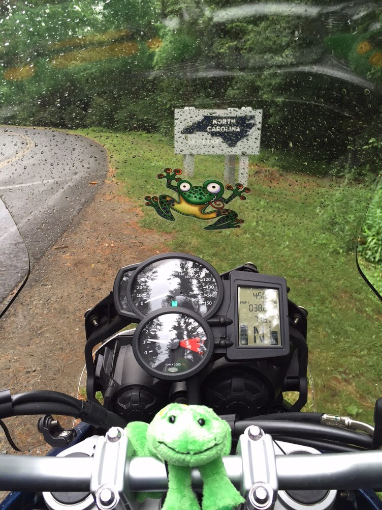
I actually made it to North Carolina yesterday.
I had no idea how far I’d be going, but didn’t expect to get to NC. And then, once I passed that milestone, I decided I should keep going and get at least 235 miles ridden, which would be half the distance of the parkway.
Booking hotel rooms via phone from the mountains during off-and-on rainstorms is a bit trickier than I’d anticipated. So, as it turns out, I reached Boone, NC at the 290 mile mark.
I stayed at a crappy Super 8 motel and had an unremarkable dinner, so I’ll just jump to today.
Actually, I’ll skip today. I’m not used to posting from an iPAD. I saved some photos, which I thought i uploaded, but now can’t find. I’ll share more later.
I took some videos for y’all today, too. I won’t even be able to wtch them until I get home.
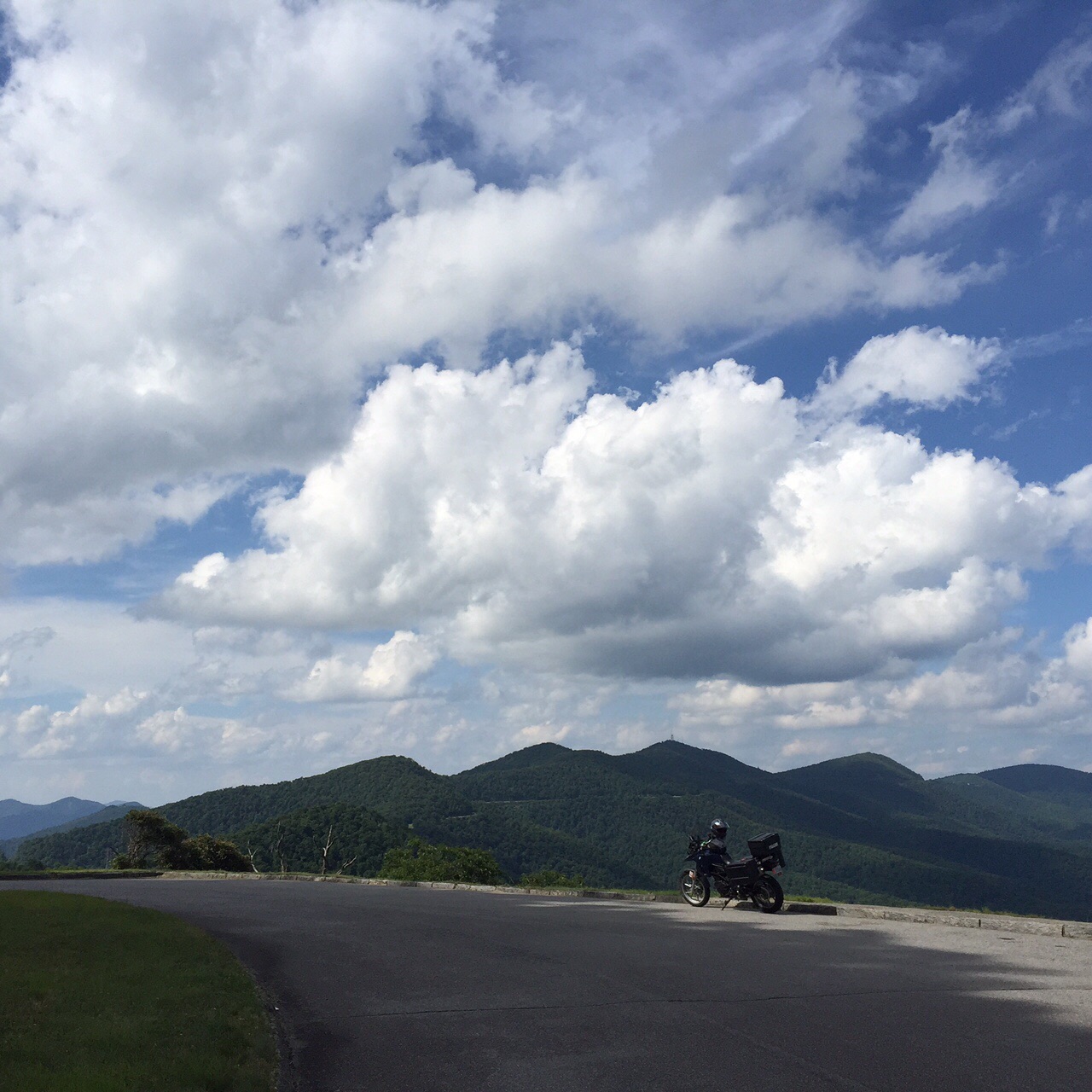
Gorgeous View
I’m in Cherokee, NC for Sunday and Monday nights. I may stay here on Tuesday, too, depending on whether or not I cover the roads I have planned for tomorrow (Monday) and see a few roadside oddities of note.
I’ve been telling y’all for months that I have been contemplating a wee adventure, right?
Well, I’m happy to report that my turn has almost arrived. Finally.
Hubby and I usually vacation together, but he chose to use his time off for the Four Corners ride. That’s why I’m going off on a solo trip.
My “adventure” won’t be anywhere near as grand as Hubby’s. Or adventuresome in the true sense of the word. It’s just a road trip, really. But I’ll be doing what I want to do, or not do, when I want to do it. Or not.
Faced with endless possibilities, I had a really hard time deciding what to do and where to go. I’m still not sure exactly what I will be doing or where I’ll be going, which is quite uncharacteristic for me. I have no routes mapped and no reservations made.
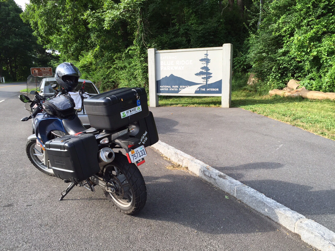
Saying “no routes mapped” means I don’t have anything plugged into any sort of GPS. I do have one route planned for the first couple of days, but it doesn’t require a map. I’ll be riding the Blue Ridge Parkway (BRP), from the north end to the south end.
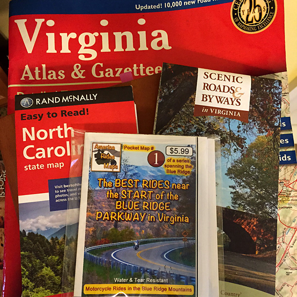
I’ve got my maps, and I’ve made note of things I’d maybe like to see, if I feel like it.
I’ll just be winging it as I go. I may stick around the NC/TN/VA mountains around Great Smoky Mountains National Park (GSMNP) for most of the week. Maybe I’ll head to the coast, but, with this heat, I doubt it.
I’m sure I’ll see some LOVE along the way, and other quirky roadside oddities. Because that’s my idea of fun.
I’m supposed to leave on Saturday, but, with Tropical Storm Depression Bill potentially heading our way, I just might leave on Friday instead.
That’s a lot of uncertainty, isn’t it?
I set up a tracker map. If you want to follow along, it’s ToadMamaon Spotwalla.
Tracking won’t work until I actually leave and activate the tracking device. So, if you follow the link and see something like, “Sorry, no messages at this time.”, it means I haven’t left. Or I forgot to activate the tracker. LOL.
You might also see some images of interest popping up on Instagram, too.
If you don’t care to follow along or look at pics of the stuff I find interesting, that’s cool. I expect I’ll do a post or two from the road as well. I should be back home on or before June 28. That’s the plan, anyway, or lack thereof.