
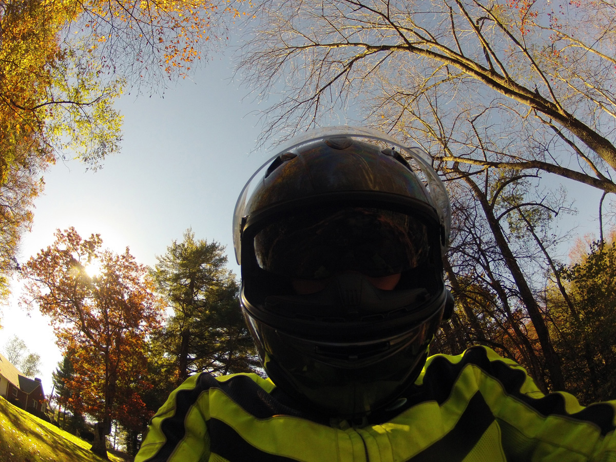
There are pros and cons to using a helmet camera while riding. One of the cons being that you end up with a TON of images to sort through, which takes time. That’s why some of my images never get viewed by anyone other than me.
Yesterday, as I sorted through pics captured on October 18, the last day of Hubby’s birthday weekend ride, I came across a series of shots showing Virginia’s Charity Highway.
It is definitely one of my favorite stretches of road enjoyed that weekend. The 21 or so miles from Woolwine, the western end of VA-40, to just before the town of Ferrum were the best. We only went as far as Rocky Mount, so I can’t tell you whether the other end of the highway is good or not.
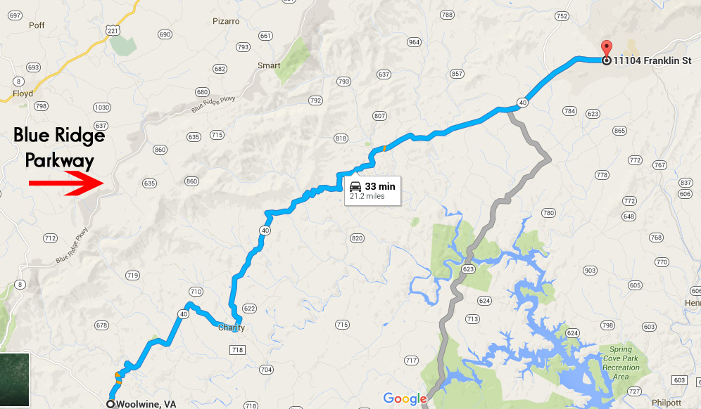
Like many roads, that “highway” got its name because it passes through the town of Charity. The posted speed limit was 55 MPH, but it was so curvy, I can’t imagine being able to maintain that speed for long.
That section of VA-40 parallels the Blue Ridge Parkway (BRP). It would be a great alternate route on days that the BRP is fogged-in, too darn crowded, or you just need a change of pace. Remember, the 45 MPH speed limit on the BRP is strictly enforced.
When riding, I am often amazed at how little traffic uses many of the back roads we enjoy. Some folks have even asked, after watching another of my slideshows/videos, if we even have traffic.
The answer is yes, we do. I just usually omit slides/video segments where I’m stuck behind some other vehicle. Who wants to look at the ass-end of a car or truck?
This time, I decided to keep it real and include ALL of the 330+ slides from that stretch of road. Images were captured every 5 seconds, so it’s about 28 minutes of ride time condensed into a slideshow that’s 3:28 in length. You’ll get to see all of the traffic we encountered and the annoying sun glare as well as the road and some pretty nice scenery.
The slideshow is relatively quick. I added music, so you may want to mute your speakers if you’re watching in stealth mode.
For you map lovers, here’s a link to GOOGLE Map: Charity Highway, ~21-mile portion of VA-40 between Woolwine and Ferrum, Virginia. I have no idea how long those links stay active so, if it’s broken, just open GOOGLE Maps and search for Woolwine, Virginia.
I hope you enjoyed the slideshow.