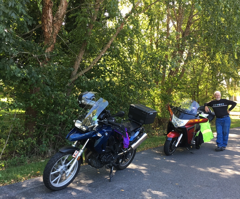
Hubby Mike and I went for a ride today. For me, it was the first ride in months! It’s been a weird year. I’ve been so busy doing other stuff, I haven’t been able to get out on two wheels much at all. So I REALLY enjoyed it. I even used The Spotwalla tracker just to make sure it still works. Maybe even so I can look back and remember that it even happened.
The leaves are starting to change, mostly at higher elevations, but the last several days have been quite warm. Right now it’s about 86 F (30 C). We leave for vacation on Thursday. We’re heading to Belgium to visit our friends, Annelies and Yves, who JUST moved into a house they’ve been renovating for a couple/few years. It’s supposedly been unseasonably cool there, so I hope that trend continues.
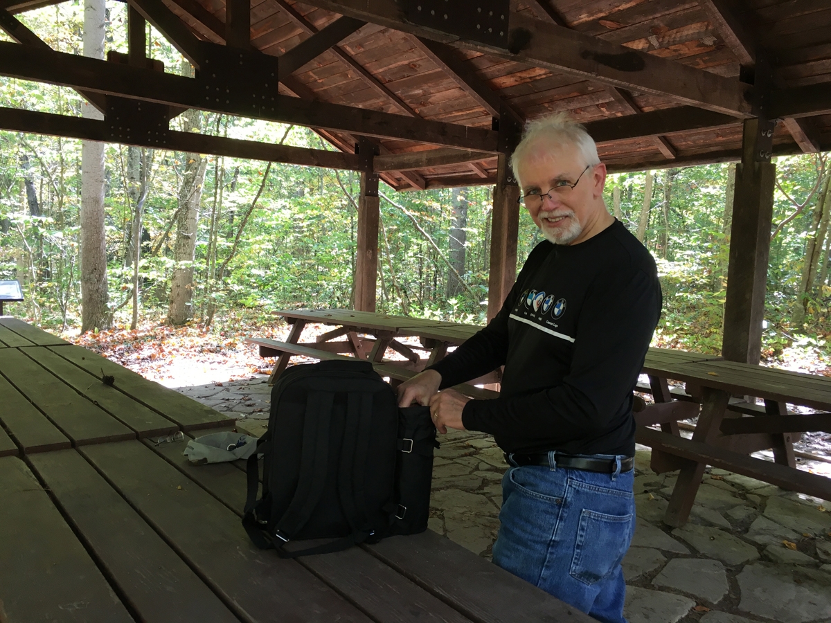
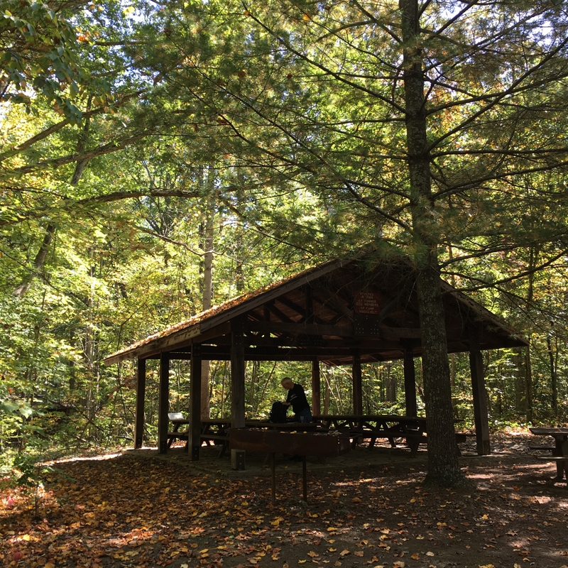
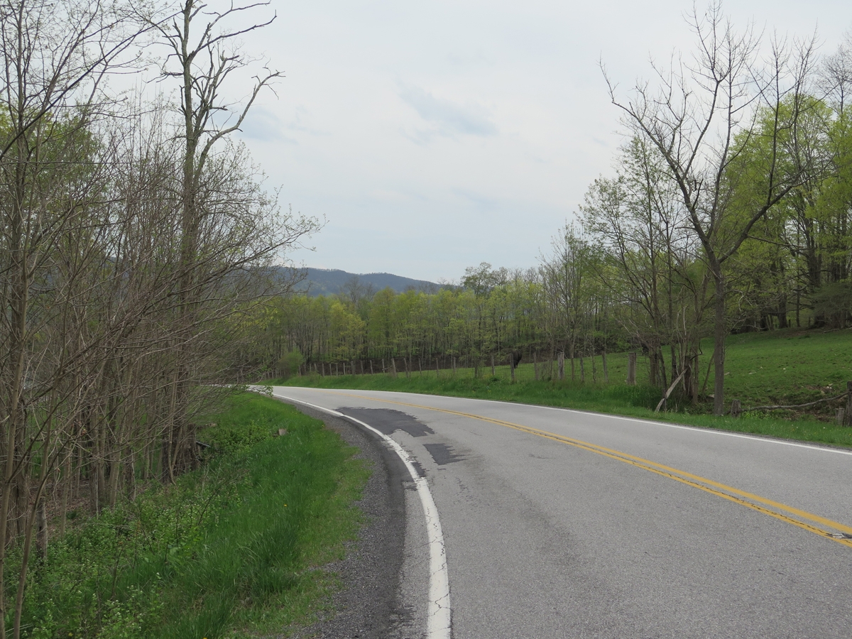
I mapped out a route for us before leaving. A simple loop that would take us to a nice picnic spot. The place I chose was Camp Roosevelt. It’s along one of our favorite putt-putt roads through a piece of the George Washington National Forest near Luray, Virginia. We’d passed the place numerour times, but had never stopped. I had no idea there was a picnic area or that it was the location of the very first Civilian Conservation Corps (CCC) site in the nation.
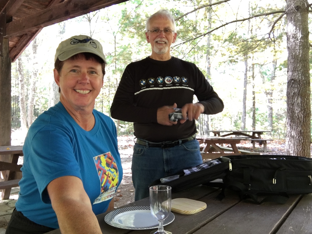
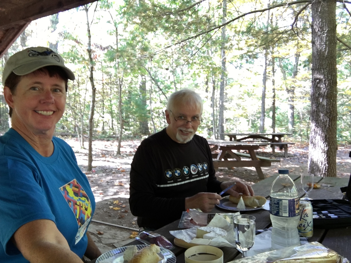
Here are a few images captured during our picnic stop.
Aren’t we fancy? Plates, drink goblets, a little cutting board… there’s also a cheese knife, cutlery, a blanket, salt & pepper shakers, and even cloth napkins.
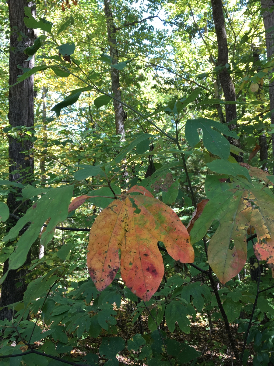
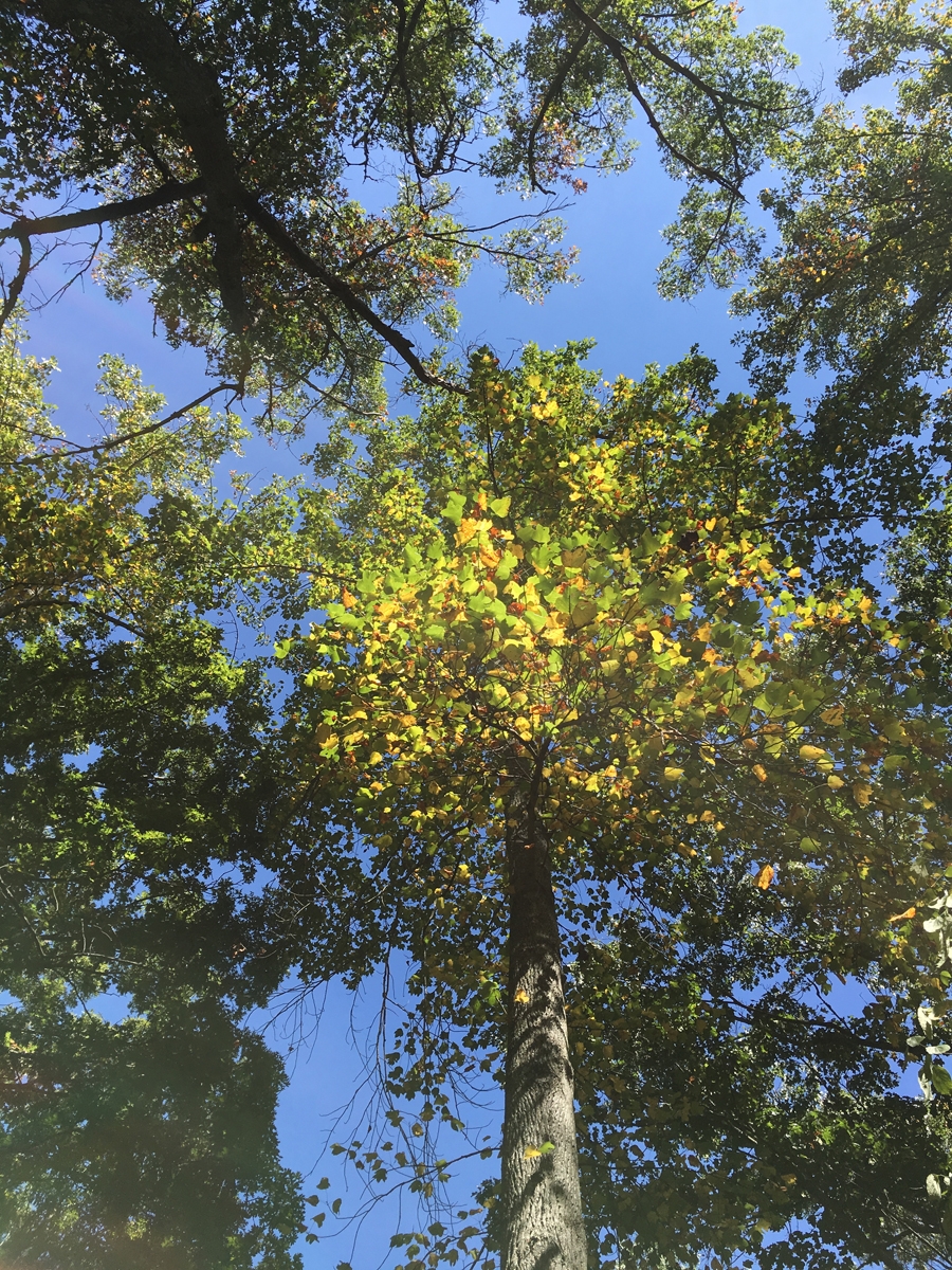
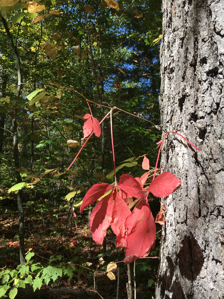
After we’d eaten, I snagged a few pics of some Fall color to share. The colors are most noticeable at higher elevations and in cooler spots, like creek-side riding through Fort Valley, one of my favorite local geographic oddities.
What a weird name for a town, right? I got so used to it over the years, I forgot how unusual a name it was. Not that I had ever been there before, I just knew it was close to the Great Smoky Mountains National Park (GSMNP). And home to Dollywood, the amusement park Dolly Parton financed and built in/near the town.
I never did see Dollywood. The last time I was in the area, I stayed in nearby Gatlinburg. And that’s how I missed the particular attraction that drew me to Pigeon Forge this time around.
But I am getting ahead of myself…
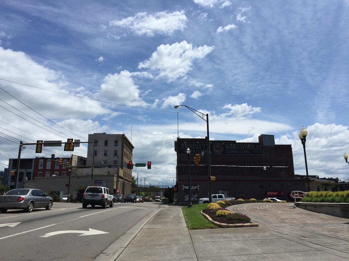
About an hour after leaving Gate City, VA and entering Tennessee, the weather got MUCH better.
Town in Tennessee
I was glad the rain had left the area, but it actually got a bit warmer than I would’ve liked.
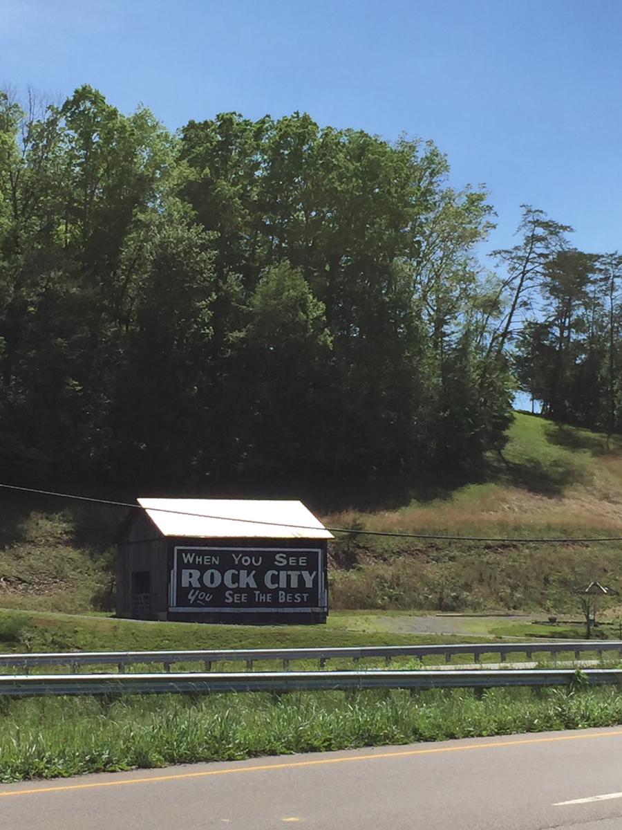
An old bit of Americana.
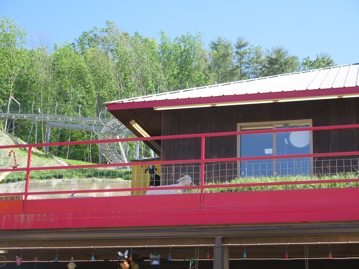
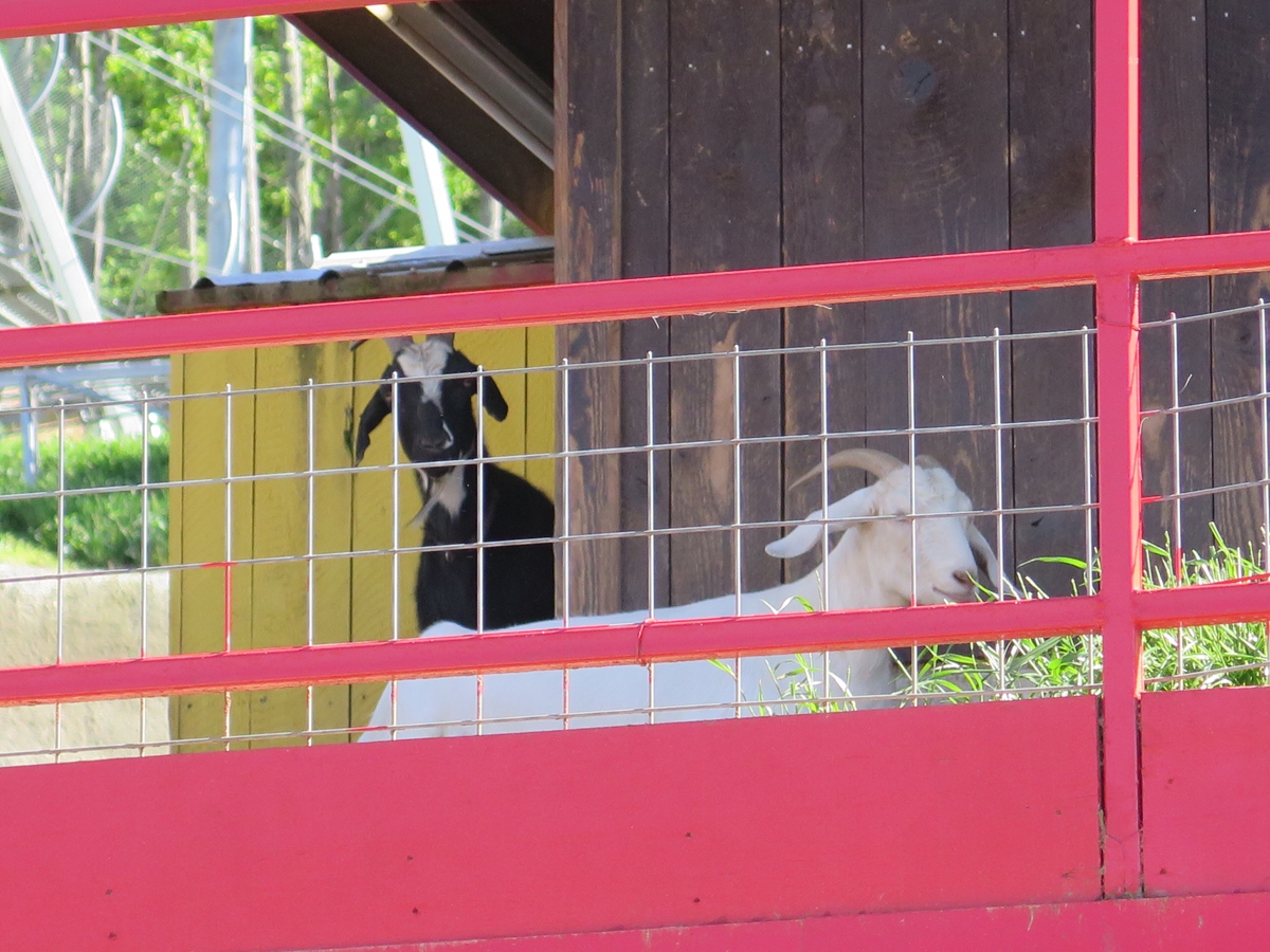
Goats On The Roof!
It was around 3:00 PM when I finally reached my destination. This fun souvenir/gift shop called Goats on the Roof. Why?
Because they have goats on the roof.
Goats on the Roof
Real goats, hanging out on the roof.
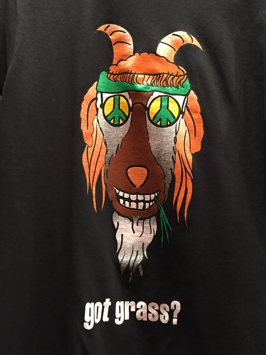
I’m glad I finally saw it, but it wasn’t nearly as fun as I thought it would be. They did have lots of fun t-shirts, though.
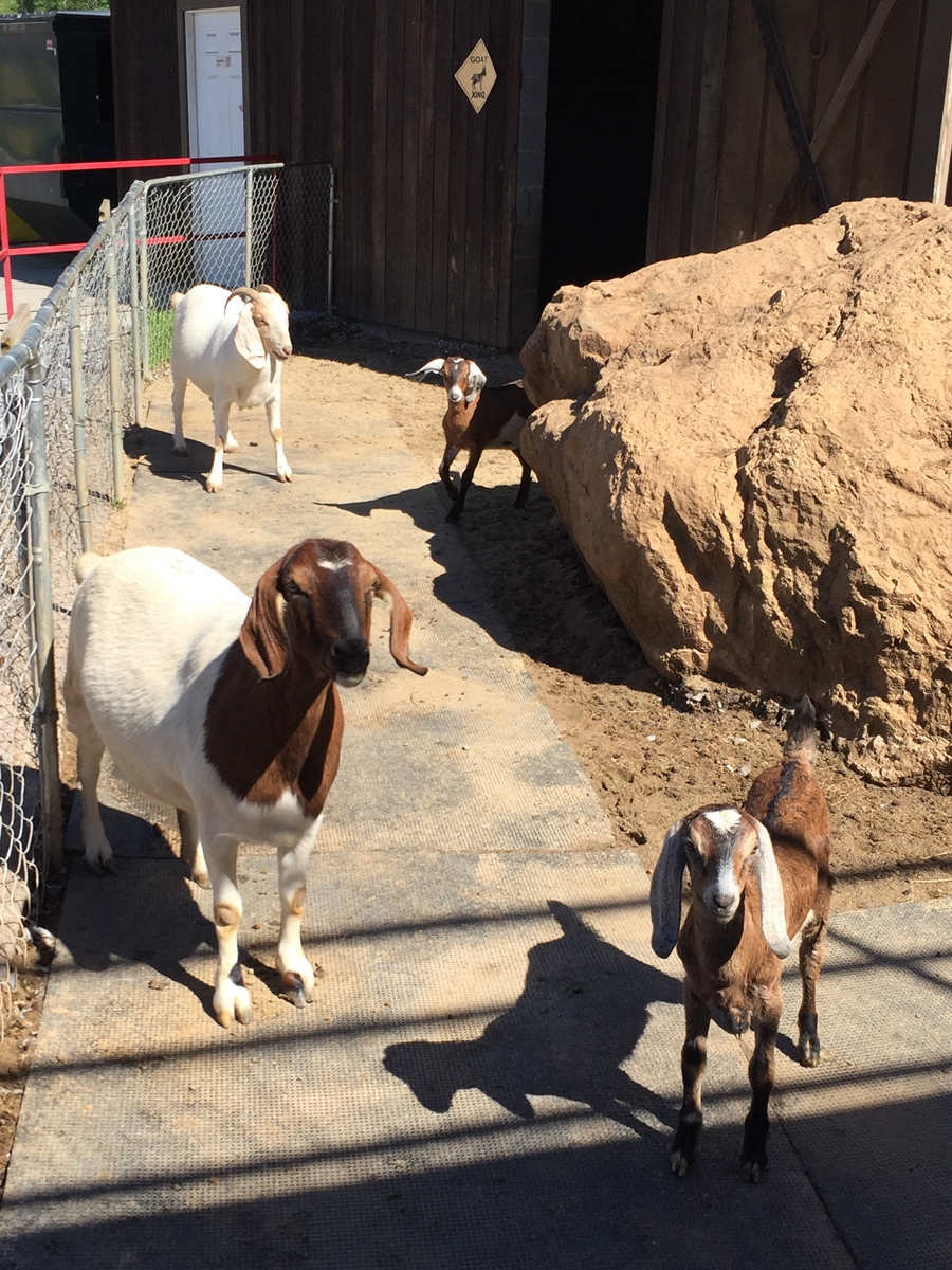
Goats
My friend, Tracey, has much cuter goats.
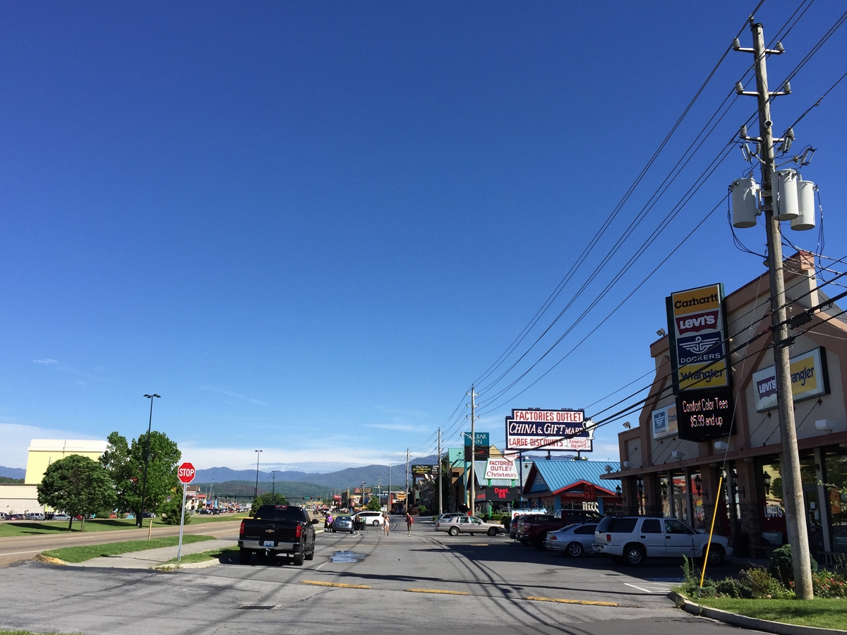
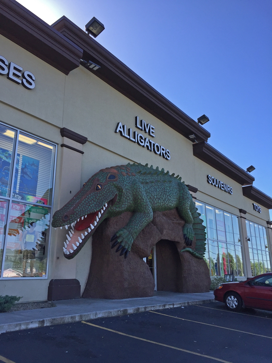
From there, it was on to the town of Pigeon Forge. “Town” may be a stretch for the bit of geography I visited while there. It was all a bit over-the-top if you ask me.
The Pigeon Forge strip.
Like most national park gateway towns, it was chock-full of retail stores, attractions, souvenir shops, restaurants, hotels, etc. And all of them try very hard to grab folks’ attention.
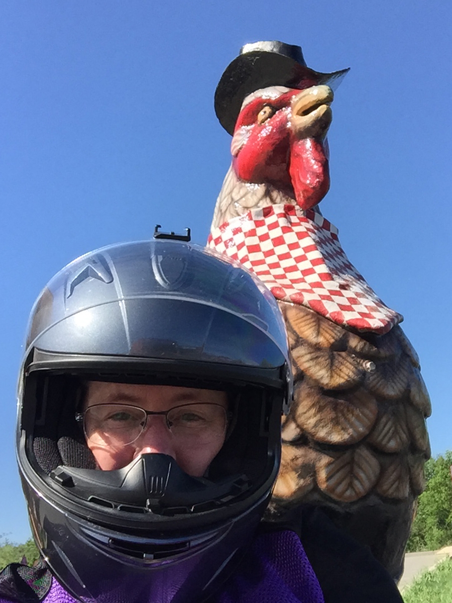
They did have very nice giant chickens.
It seemed rude not to grab a selfie while there. I mean, they’d gone to great lengths to make their cocks attractive.
I scoped-out the lodging options as I drove through Pigeon Forge on my way to GSMNP.
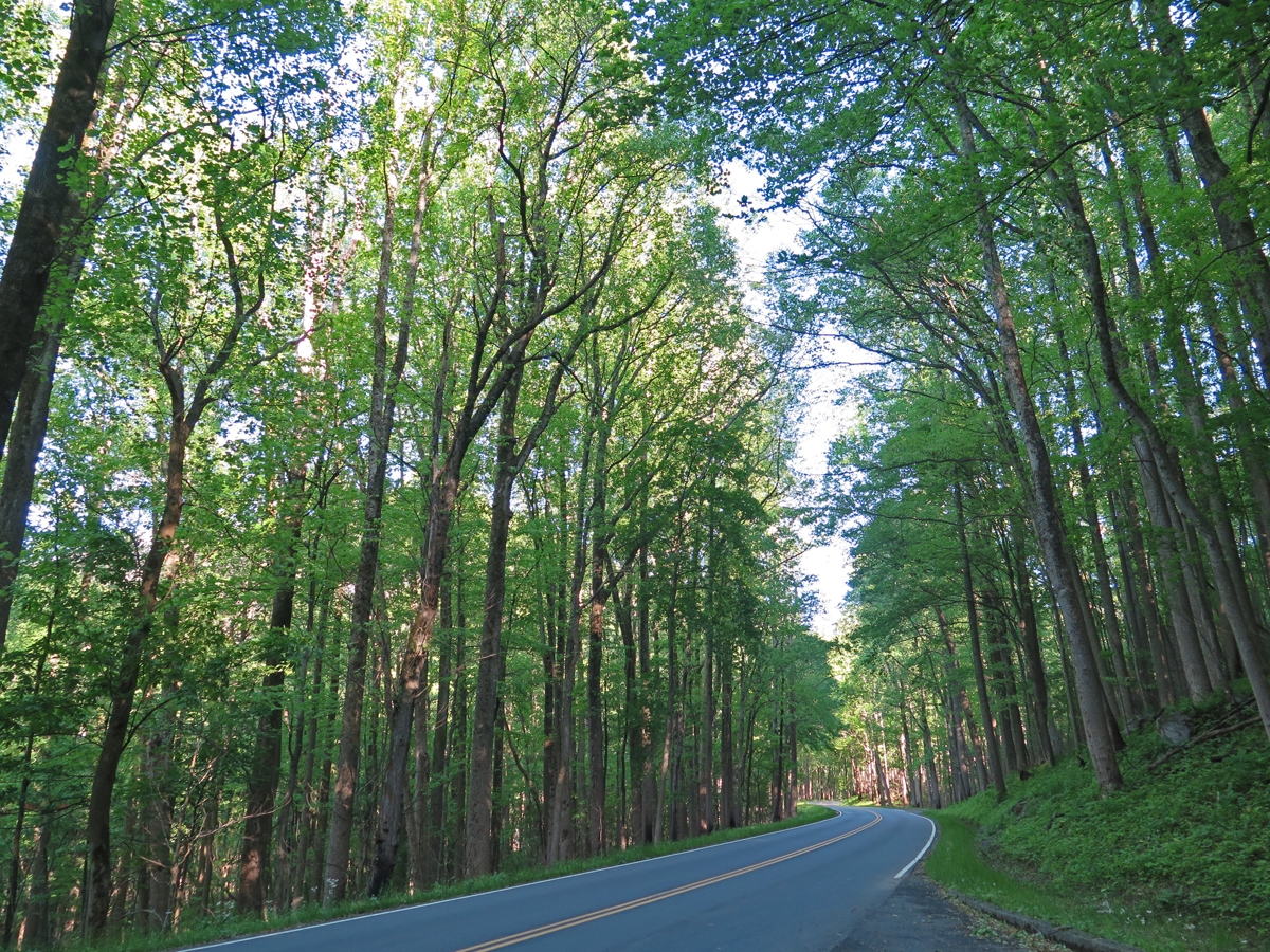
I’d much rather hang out here any day.
It was significantly cooler among the trees.
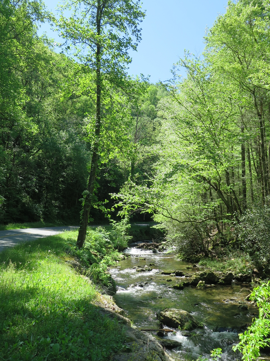
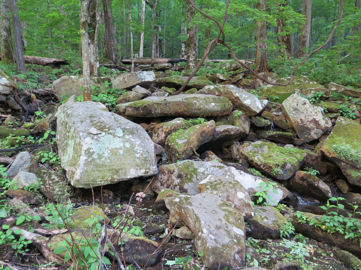
The stream beside the road helped.Lovely Scene
There was a tiny stream gurgling loudly through those big, moss- and lichen-covered boulders. I sat and listened for a while, disturbed only occasionally by a passing vehicle.
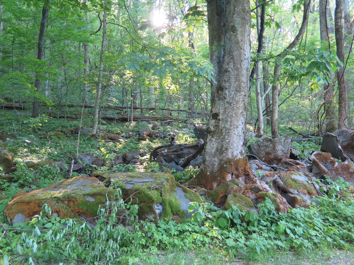
A few small remnants of fires.
My favorite boulder/stream again.
Below is a larger reminder of forest fires in the not too distant past.
Fire Damage
I was going to ride further into the park, but it was getting colder. So I decided to head back to the visitor’s center where I could use the free wifi and my phone to book a hotel room. I chose a place close to the park, on the edge of all the touristy madness.
Once I’d checked in and unpacked, I realized I didn’t feel like walking anywhere, or riding, to get dinner. So I ordered a pizza from a place the lady at the front desk recommended. It was actually delicious.
Shortly after that, I retired for the evening, and slept like a rock.
My last post ended with me bugging-out of Breaks Interstate Park earlier than anticipated due to approaching thunderstorms. I’d mapped-out a route the previous evening that took me on a meandering trek along and south of the Virginia/Kentucky border through the counties of Dickenson, Wise, and Lee. (I’m trying to hit all of the counties in Virginia.)
Since the radar images I’d seen had looked so ominous, I eliminated some of the higher-elevation roads, following a route that should still take me through all three of those counties.
The first part of the route was especially nice. And I actually got to enjoy the twisty roads as I outran the rain.
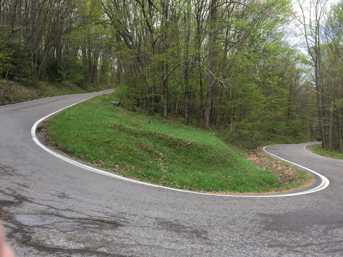
As I was making my way past Norton, I noticed signs for the High Knob Lookout tower and made a spur-of-the-moment decision to check it out. I’m glad I did. The road to and from the tower was reminiscent of riding in the Swiss Alps, except with a lot more trees.
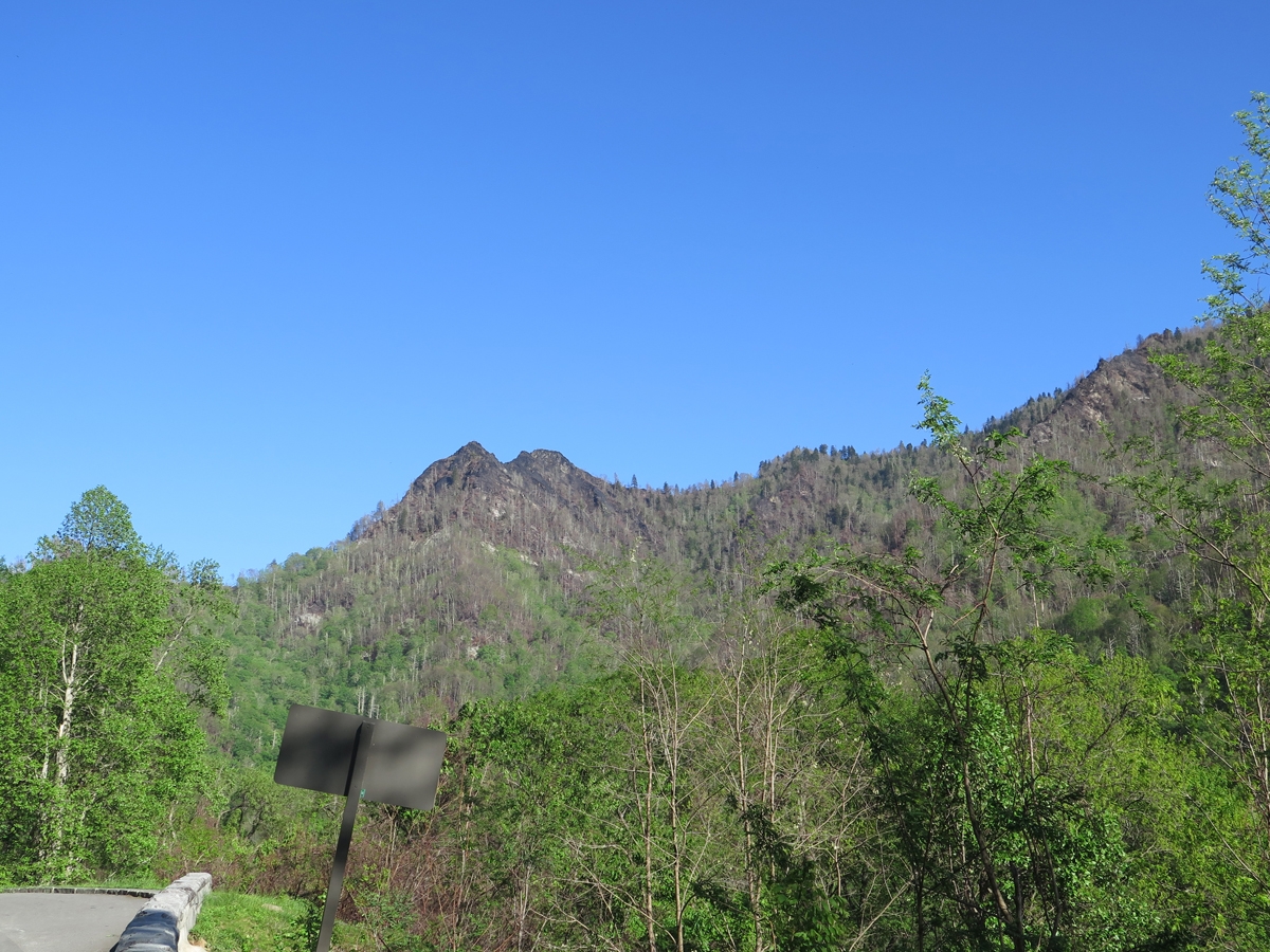
Blue Sky!
I’d remembered reading about the spot at some point, which is described on the virginia.org website as follows:
A brand new observation tower with a long history opened in 2014 atop High Knob Recreation Area. At an elevation of 4,223 feet, the original tower built in the 30s burned down 40 years later. In 1978, Flatwoods Job Corp. built a new three story tower that met its demise by arson in 2007. Thanks to a dedicated community of volunteers in partnership with the Clinch Ranger District, a new, fire-proof tower to compliment and showcase the spectacular view of 5 states was erected. It has become a symbol of hope, like the legendary phoenix rising from the ashes, offering locals and visitors alike an unparalleled view from Stone Mountain.
I’m glad I decided to visit when I did. I pretty much had the whole place to myself. I only passed one other vehicle on my way up to the tower and back down! The place would probably suck during prime season, as the road is so narrow, steep, and jam-packed with very tight curves I can almost guarantee it gets clogged by very poky four-wheeled-vehicle traffic.
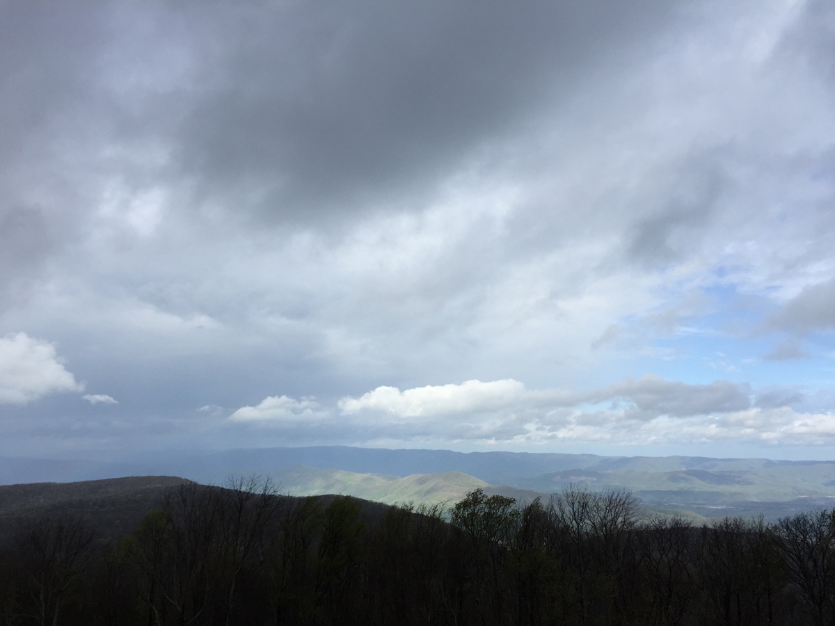
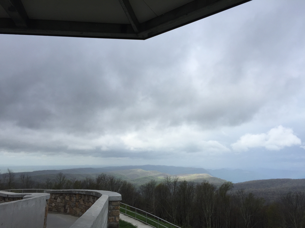
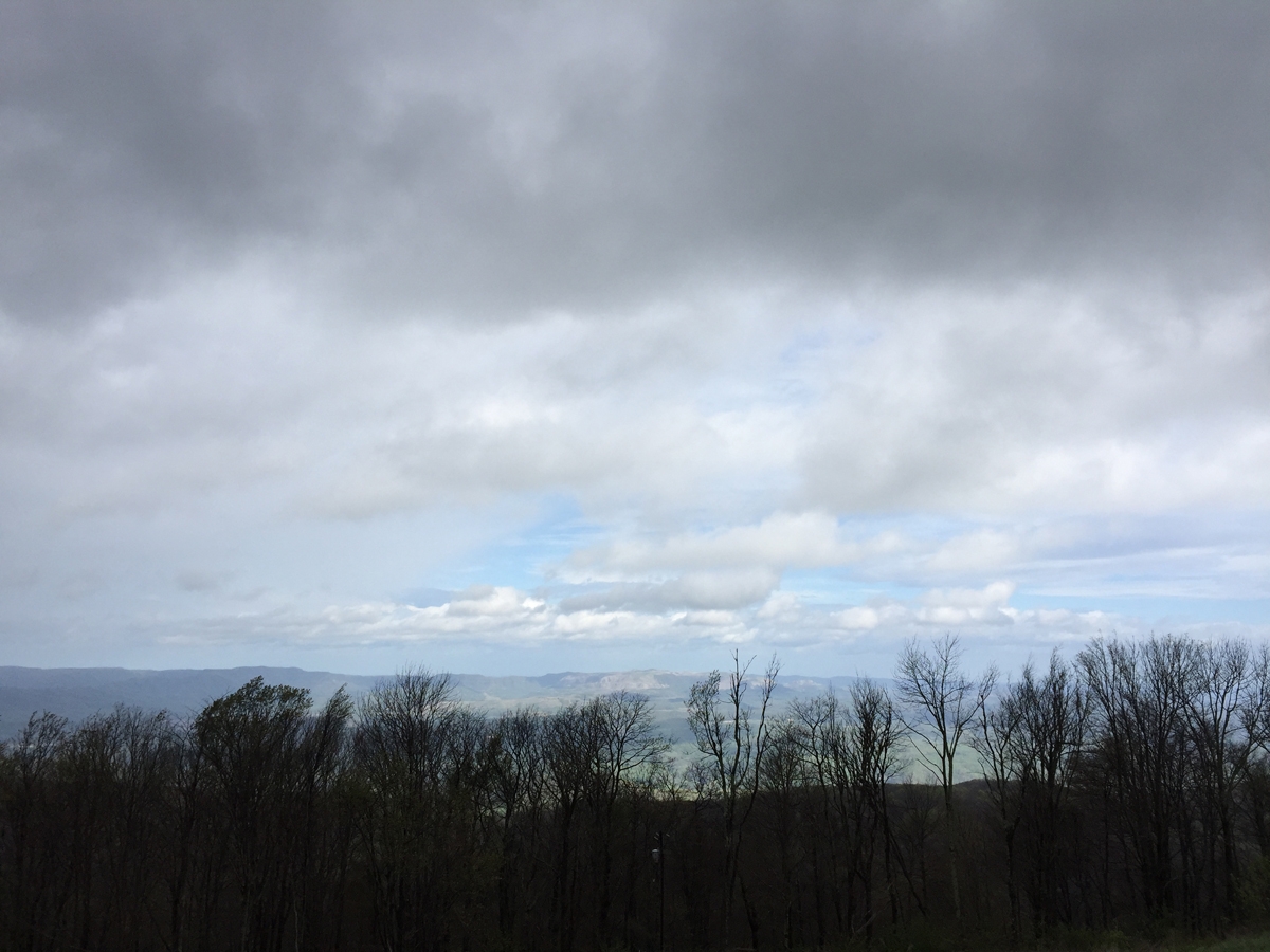
View from High Knob Lookout Tower (Stone Mountain)
The view was impressive. And ominous, depending on which direction I was facing.
View from High Knob Lookout Tower (Stone Mountain)
View from High Knob Lookout Tower (Stone Mountain)
It was pretty clear that I’d be getting wet at some point that day.
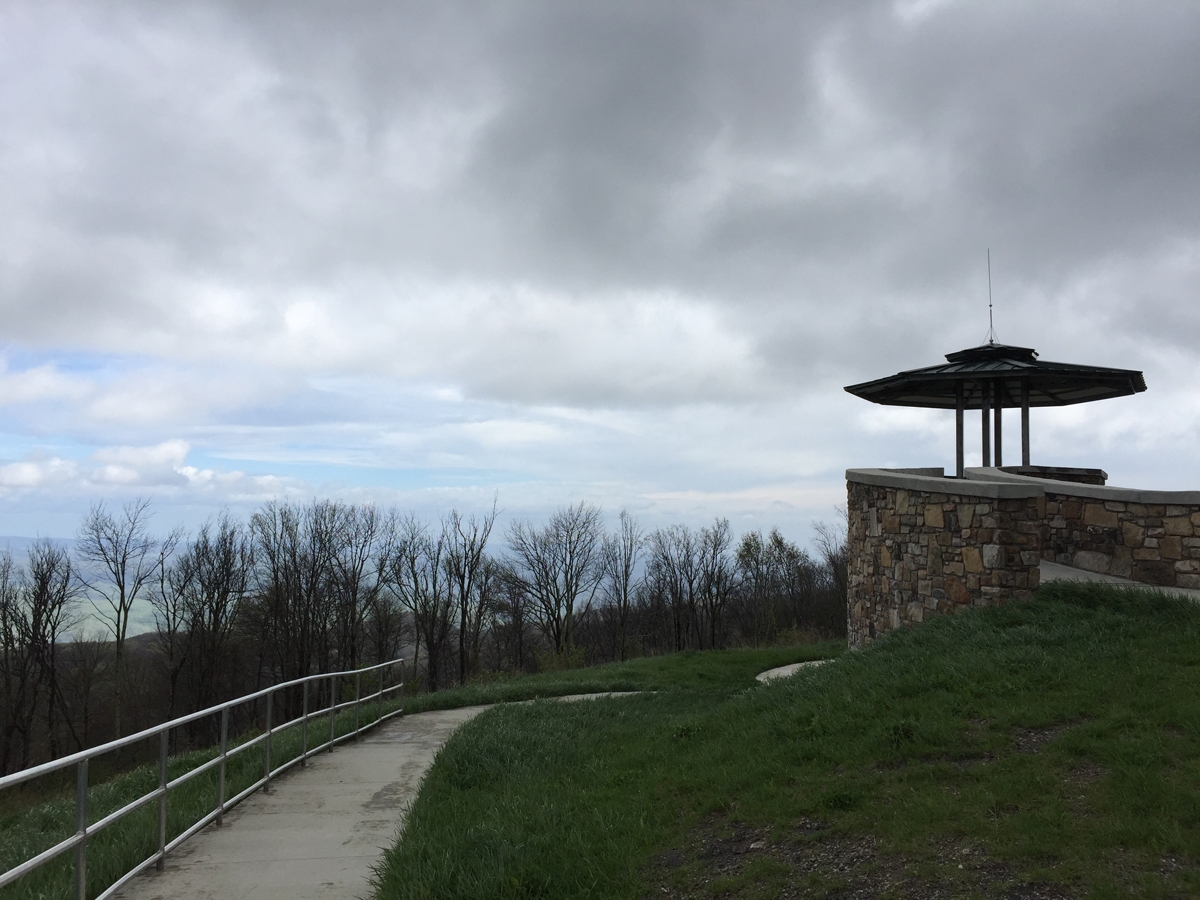
High Knob Lookout Tower (Stone Mountain)
View from High Knob (Stone Mountain)
It was quite windy up there, and I enjoyed watching the clouds scurry across the sky.
The road to and from High Knob Lookout Tower (Stone Mountain)
It only drizzled a little as I made my way back town the mountain. I continued west and south, heading toward the town of Pennington Gap for no other reason than it sits in Lee County. I also wanted to ride through Gate City, Virginia, in the complete opposite direction. That’s why, soon after passing the Lee County sign, I decided to nix Pennington Gap, and headed south then east along US-58.
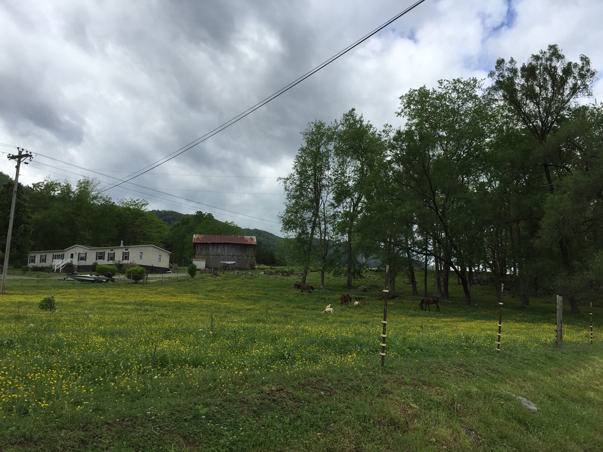
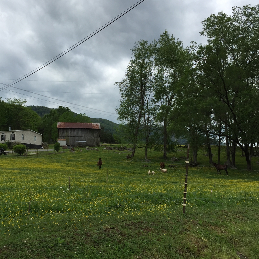
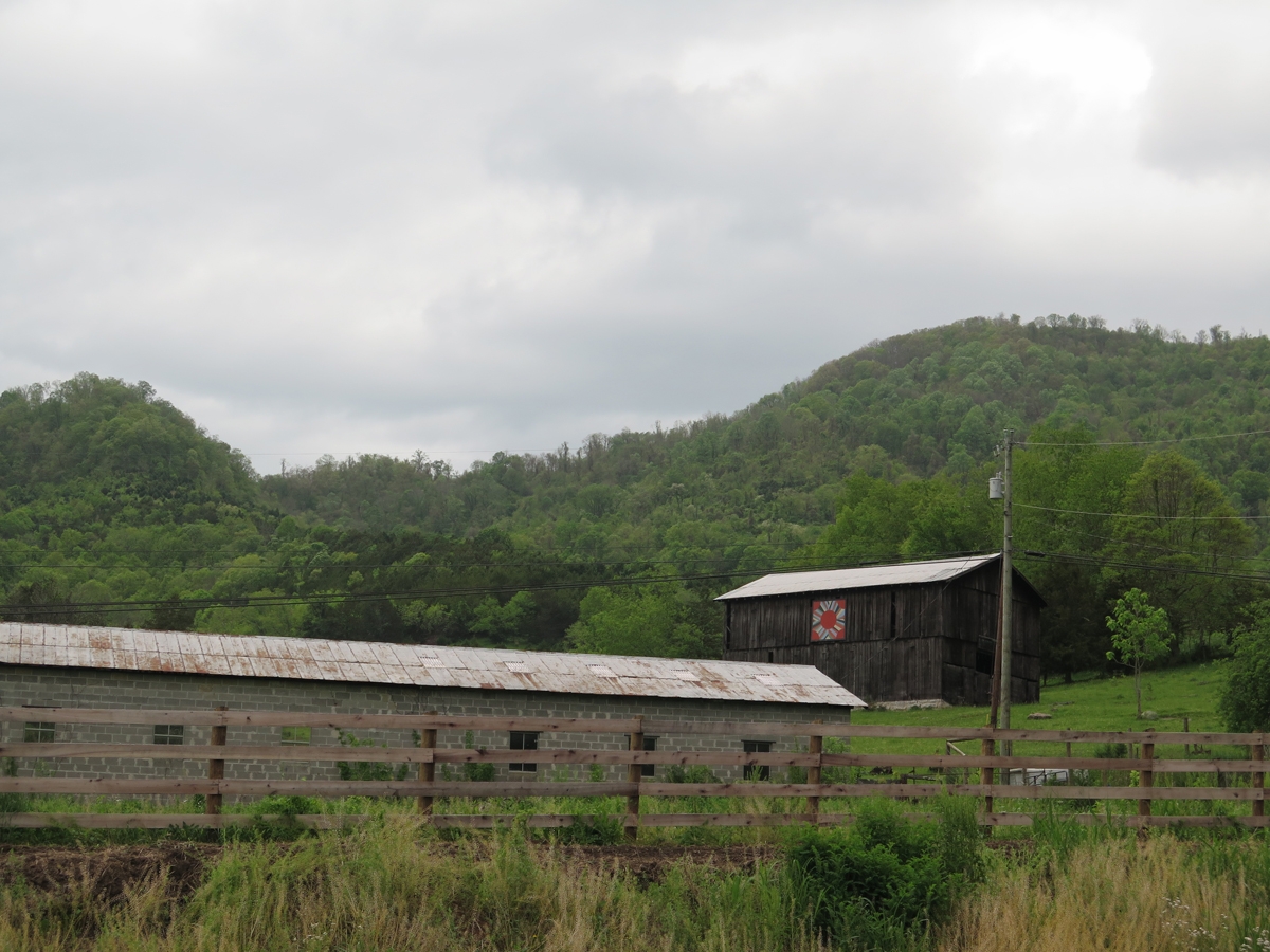
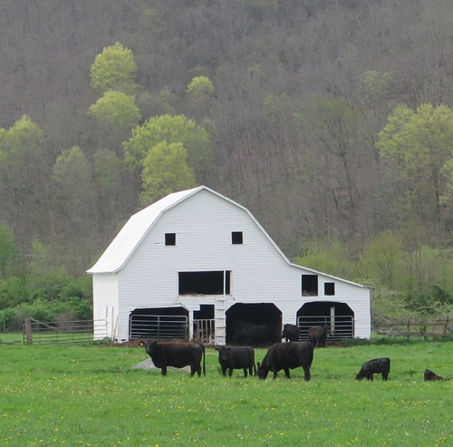
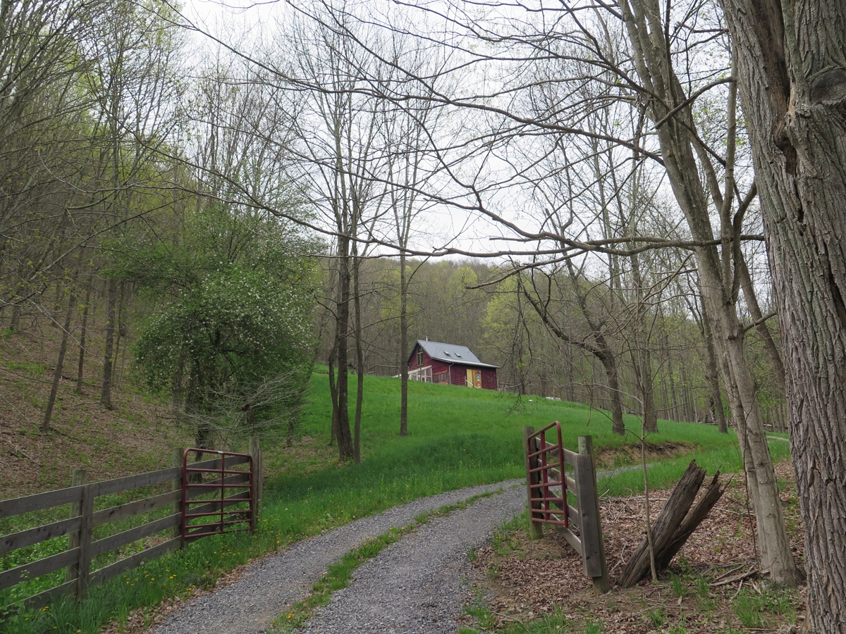
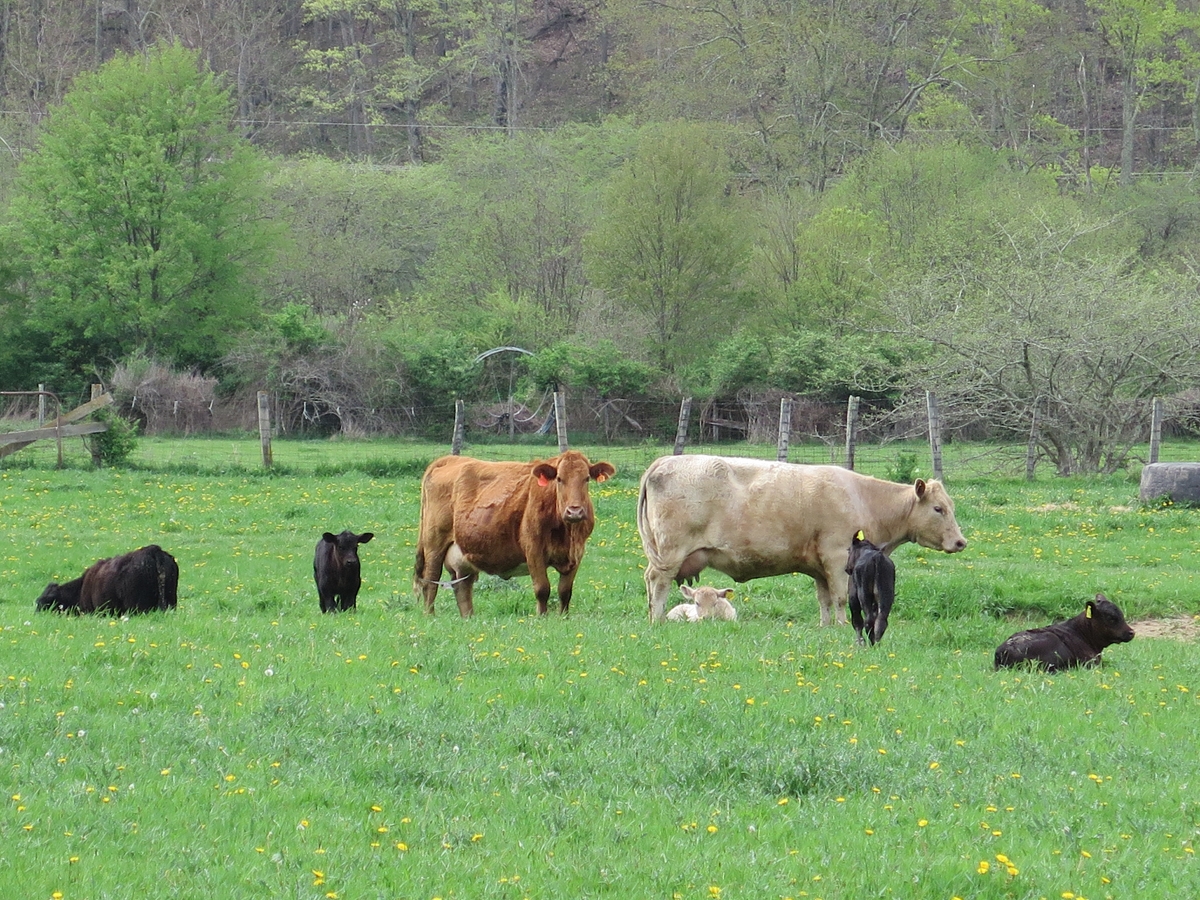
I’m glad I did, because I saw some fun stuff along the way. Like this cute farm.
Cute Little Farm
Really, just look at the animals among the Buttercups. 😊
Cute Animals
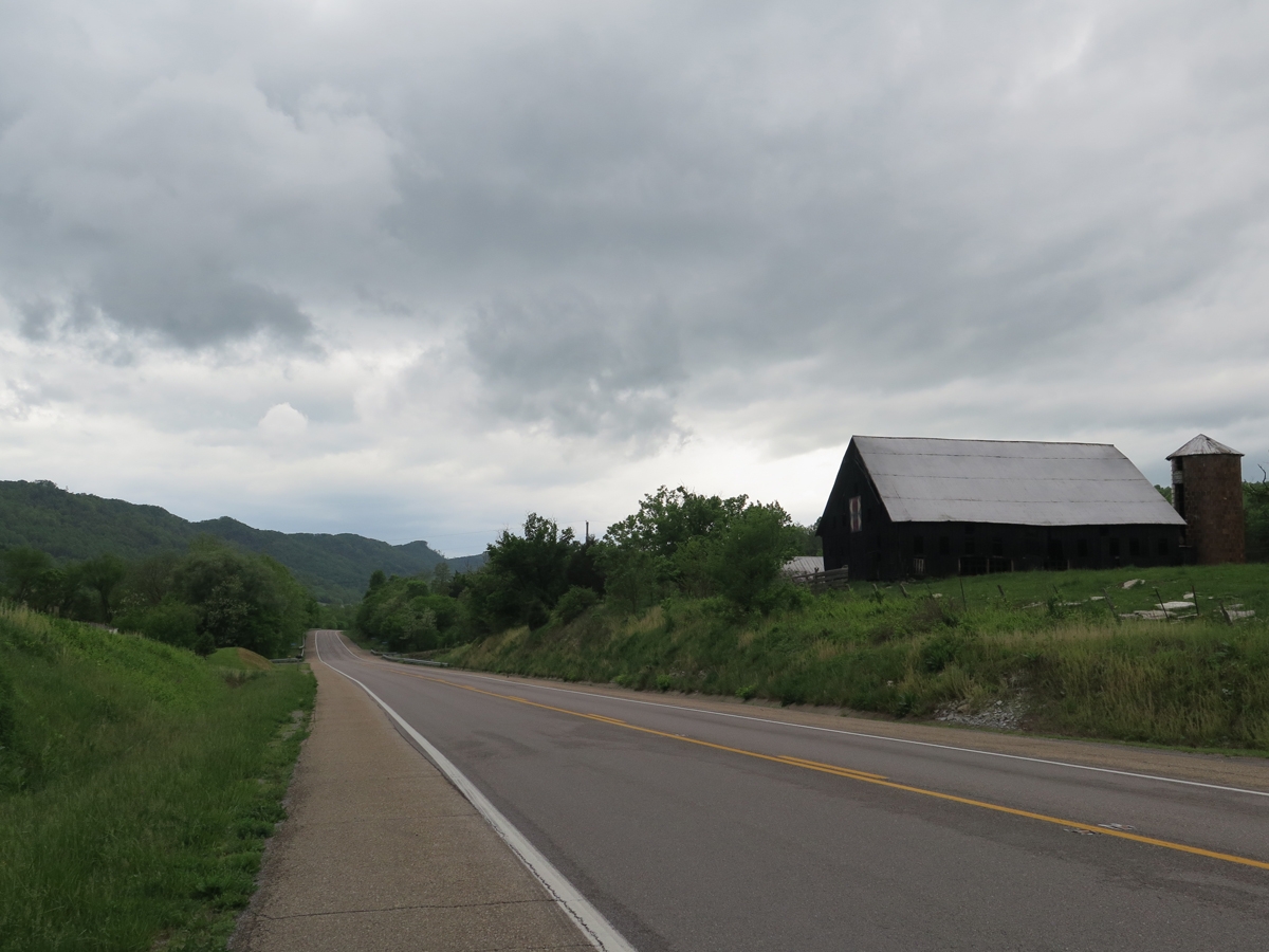
Here’s some more stuff I saw along the way…
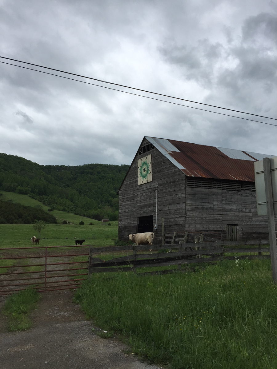
Barn Quilt
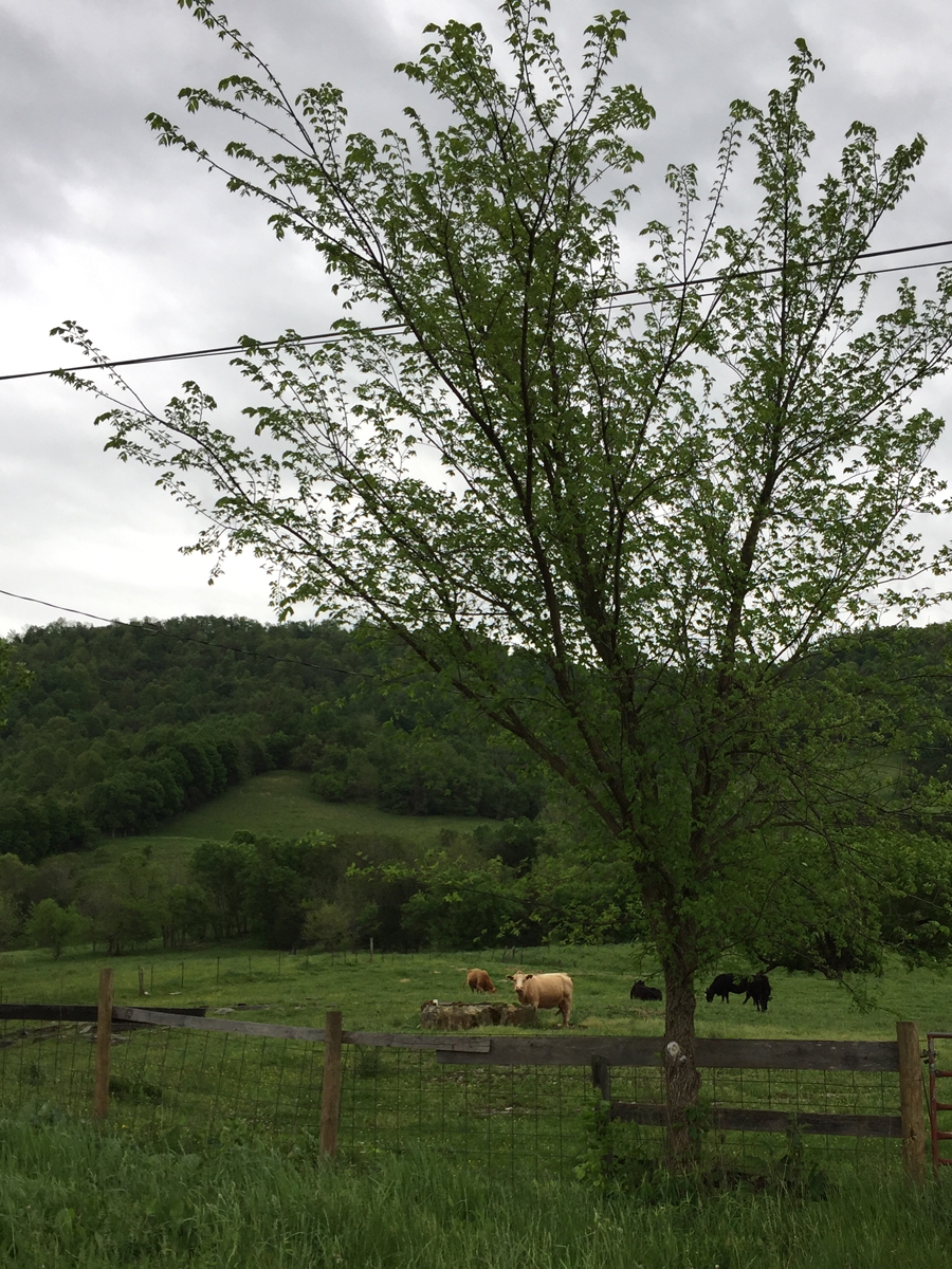
Cows
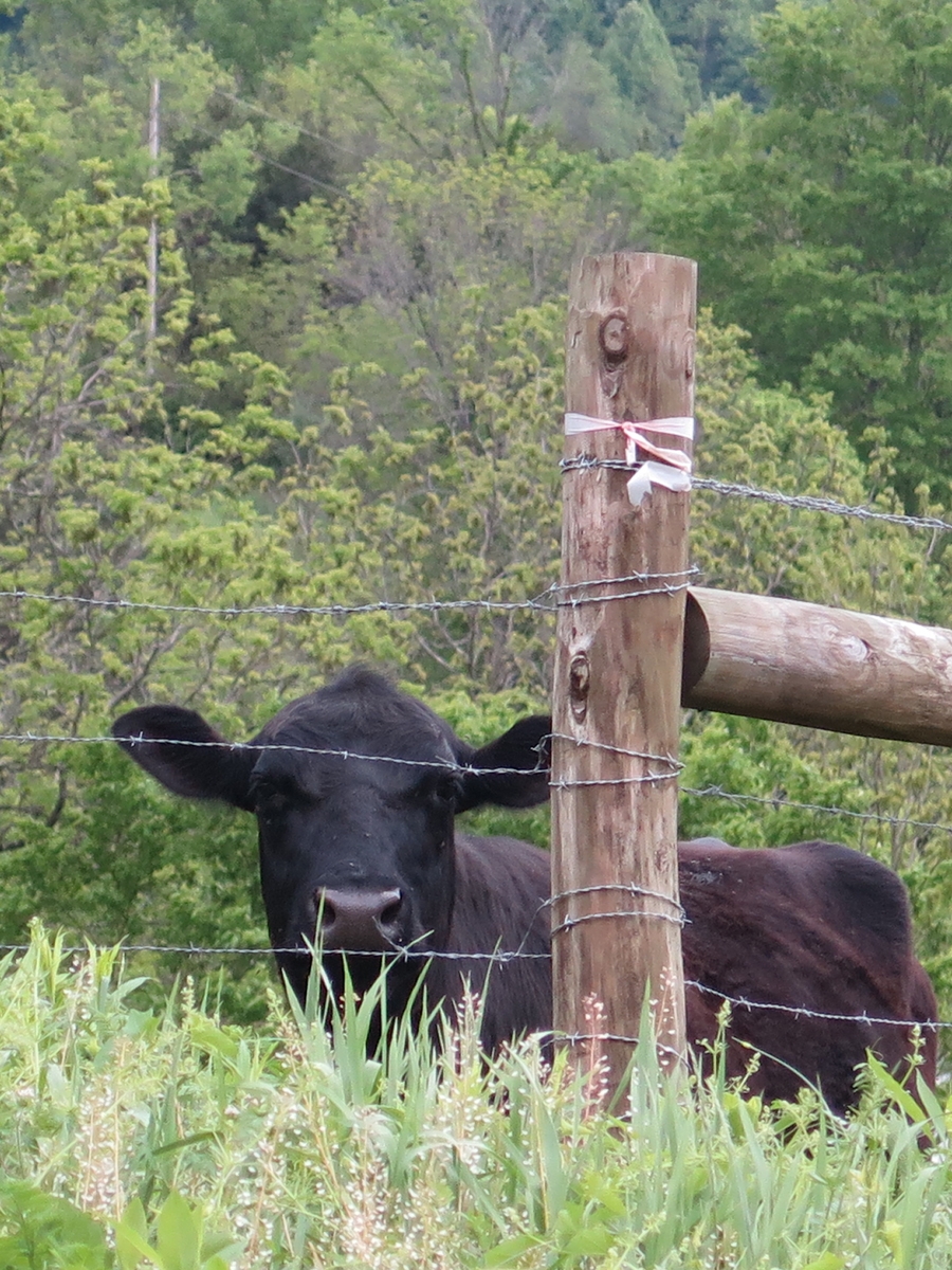
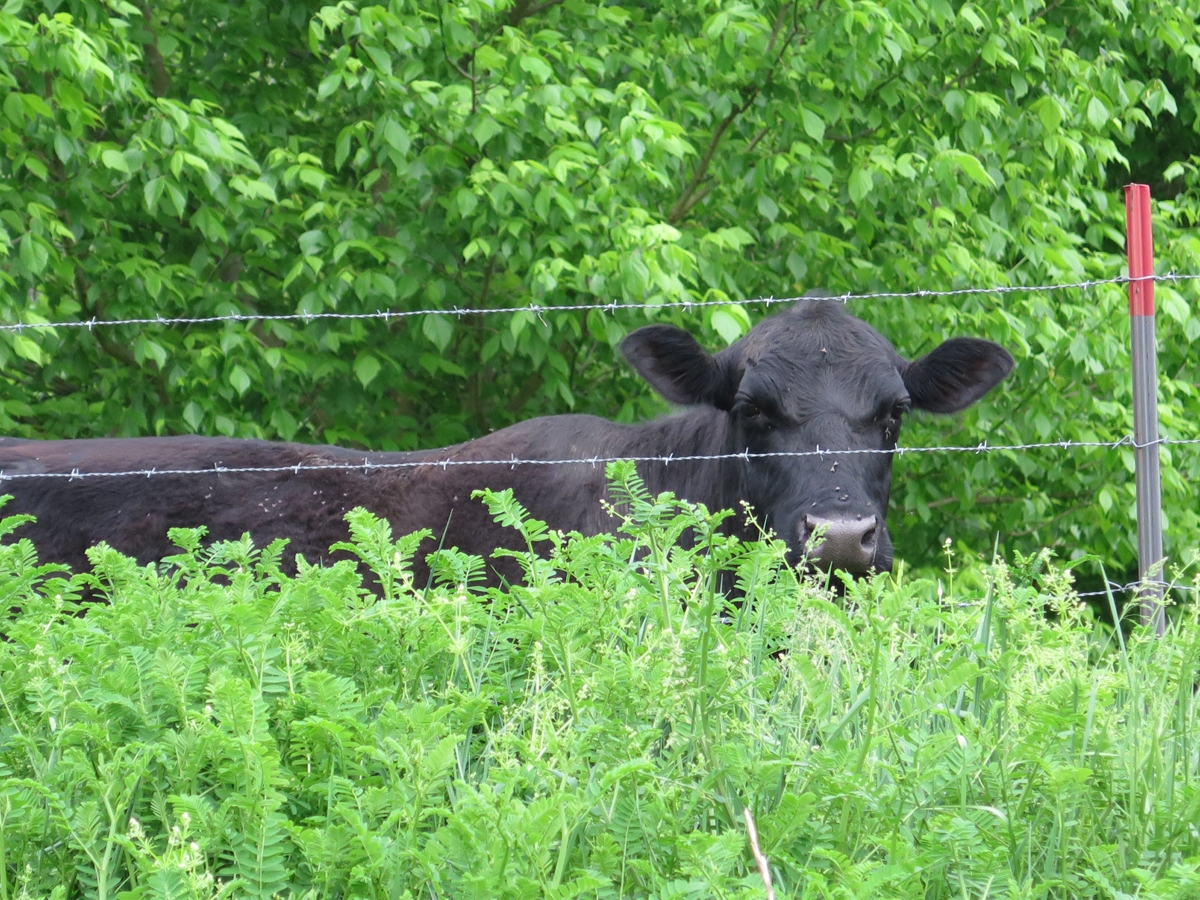
A little further along, I came to an almost-screeching stop when I spotted two barn quilts along the highway. This cow was quite intrigued by me.
Curious Cow
Barn Quilt
I had to backtrack a bit, on foot, to get an acceptable shot of the other one.
Barely acceptable barn quilt photo.
My “friend” kept an eye on me the entire time.
Curious Cow
I continued into Gate City from there. I did a few laps of the downtown area looking for their elusive LOVEwork. I was hungry, so sorta gave up on finding the LOVEwork (it had been missing two years ago, too, the LAST time I rode to that remote town specifically to see the LOVEwork!).
I pulled into the parking lot of a very small diner. Just as I dismounted, it started raining. Pouring, actually. Perfect timing! I was able to site and enjoy a leisurely lunch of fried pickles along with a homemade cheeseburger and French fries. It was all delicious.
I plotted the rest of my route while I ate. As luck would have it, as I pulled out of town onto the main highway, look what I saw!
Gate City LOVEwork
I didn’t even care that it was still raining. I was so tickled to see the LOVEwork. What are the chances of my getting to that very remote part of the state again any time soon?
From there, it was off to Pigeon Forge, Tennessee, to see something I’d been wanting to see for a few years.
Back in October 2010 — the last trip with our old cruisers! — when Hubby and I rode to Kentucky, we passed very close to Breaks Interstate Park (BIP). In fact, we ate lunch at the Hardee’s in Grundy mentioned in my last post. The morning coffee club (what we call the groups of older men that hang out to chat over coffee in fast food restaurants) was still there, and one of the men started talking to us about our ride, where we were from, headed to, etc. And he asked if we were going into Breaks.
Neither of us had ever heard of it. I can’t remember if the guy elaborated or not. But as we made our way into Kentucky, I kept seeing signs for the park. Naturally, that made me wonder. After I looked it up, I was kicking myself for not having checked it out. Since then, I’ve wanted to return. Mike’s kind of been noncommittal about it. He’d rather daydream about long, endurance rides than worry about revisiting areas just to see something we’d missed.
I forgot to add this pic to my last post.
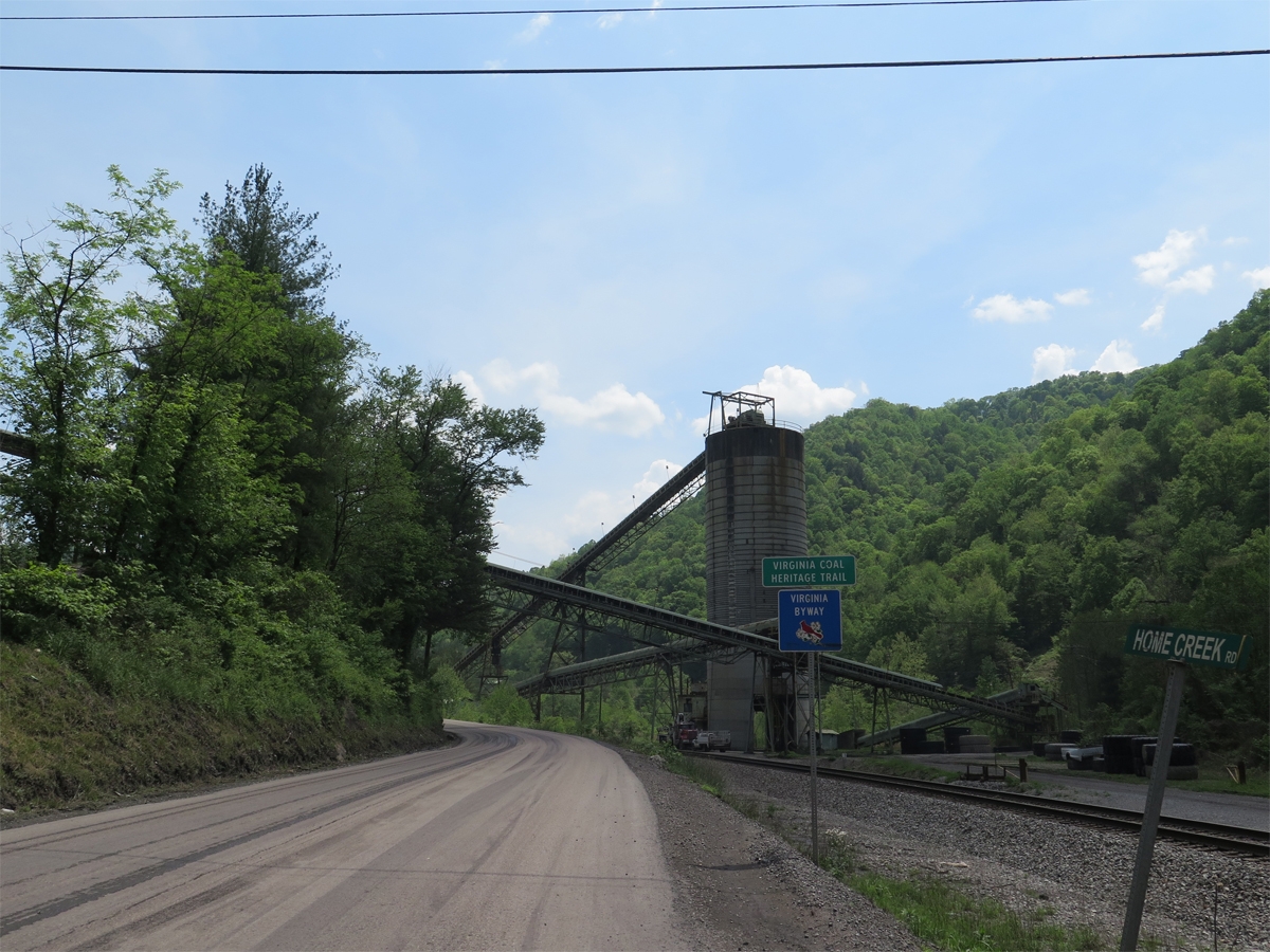
The more I think about this road and whether or not I stumbled across a highway project or surface mining operation, I think it must be the latter. A highway here just wouldn’t make sense.
Surface mining will make West Virginia uninhabitable one day. If you’re not familiar with that practice, check out the Coal River Mountain Watch website. Watch this documentary on YouTube. It’s not just one mountain. And it isn’t just West Virginia. Do a Google Maps search for Breaks, Virginia. Turn on satellite view.
See all the brown spots to the north and west of Breaks? Those are mountains that have already been decimated. Zoom in and see for yourself. It’s awful.
Originally, I’d thought about riding into Kentucky after leaving Breaks. But after seeing the extreme poverty in West Virginia, and what it’s done to the people and communities there, I just could NOT bear to ride into Kentucky and see what it’s done to the land. It was just too depressing. Remember, I was on vacation trying to de-stress.
So, back to happy stuff…
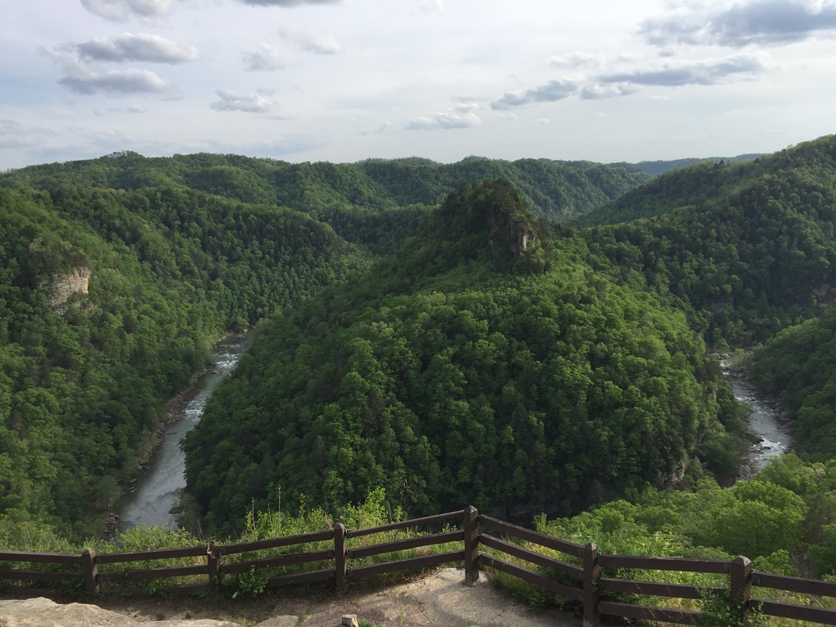
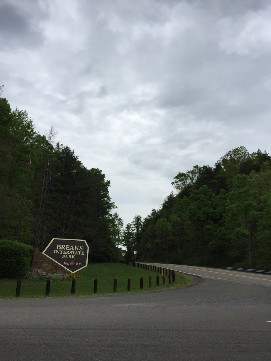
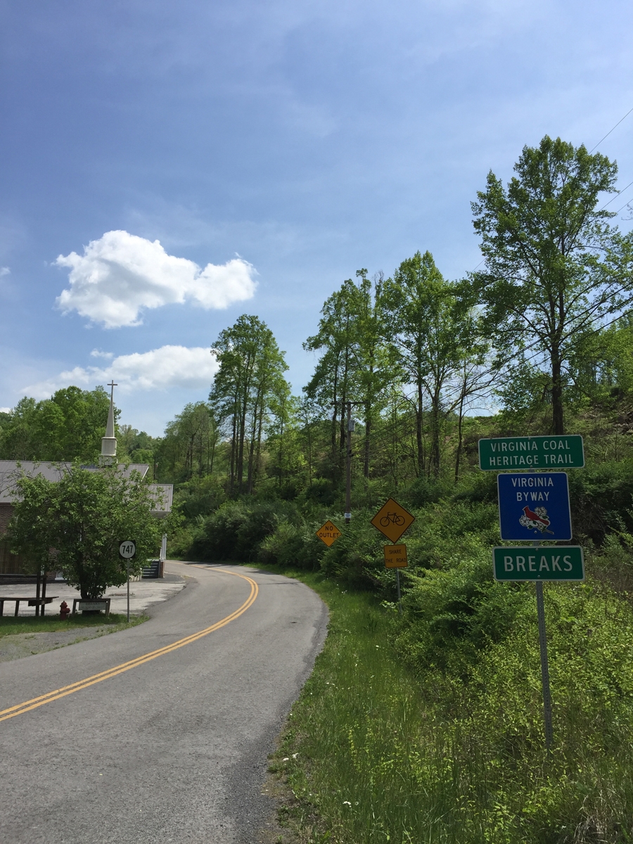
These are “The Breaks.”
Did anyone else hear Kurtis Blow when you read that photo caption? I’m not sure if I have ever admitted to y’all that I am a rap fan. Mostly old-school stuff from back in the day. Not gangsta rap, either.
How the park got it’s unusual name.
Here’s a quick little video taken from one of the overlooks (the park is mostly on the rim of the gorge).
I think the gorge is about 1,000 feet (~305 m) deep at this point.
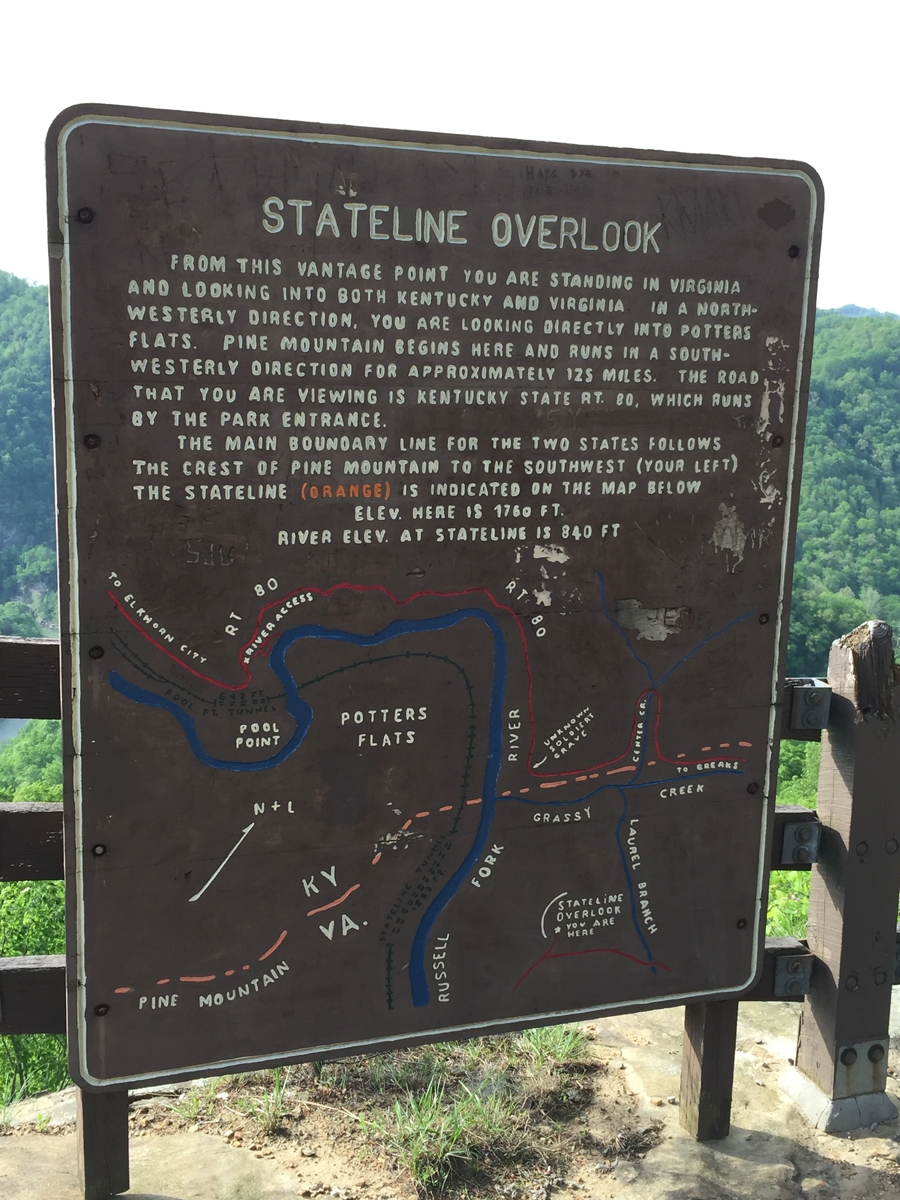
As seen from the Stateline Overlook.
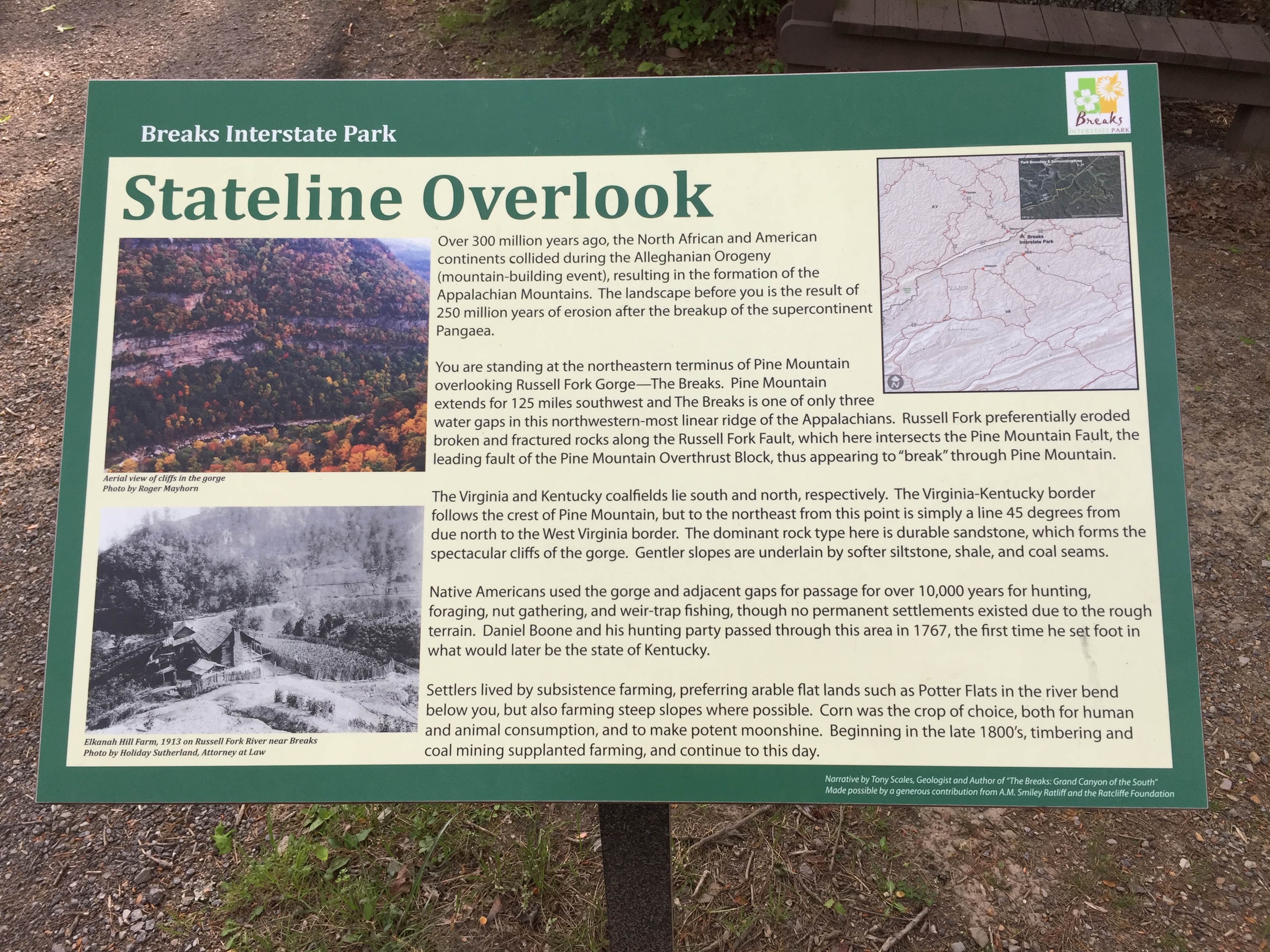
The view is described by the sign in the image below.
Information about the view.
It was actually sort of early when I arrived at the park. I was hot, tired, and grumpy (seeing fellow Americans in extreme poverty as described in my previous post does that). I removed all of my gear, put on some comfy pants and hiking sandals, and rode around the park to see the various overlooks. I had the park practically to myself and was being very careful.
I couldn’t linger long, as the restaurant closed relatively early. And it would have been a VERY long ride to find anything else.
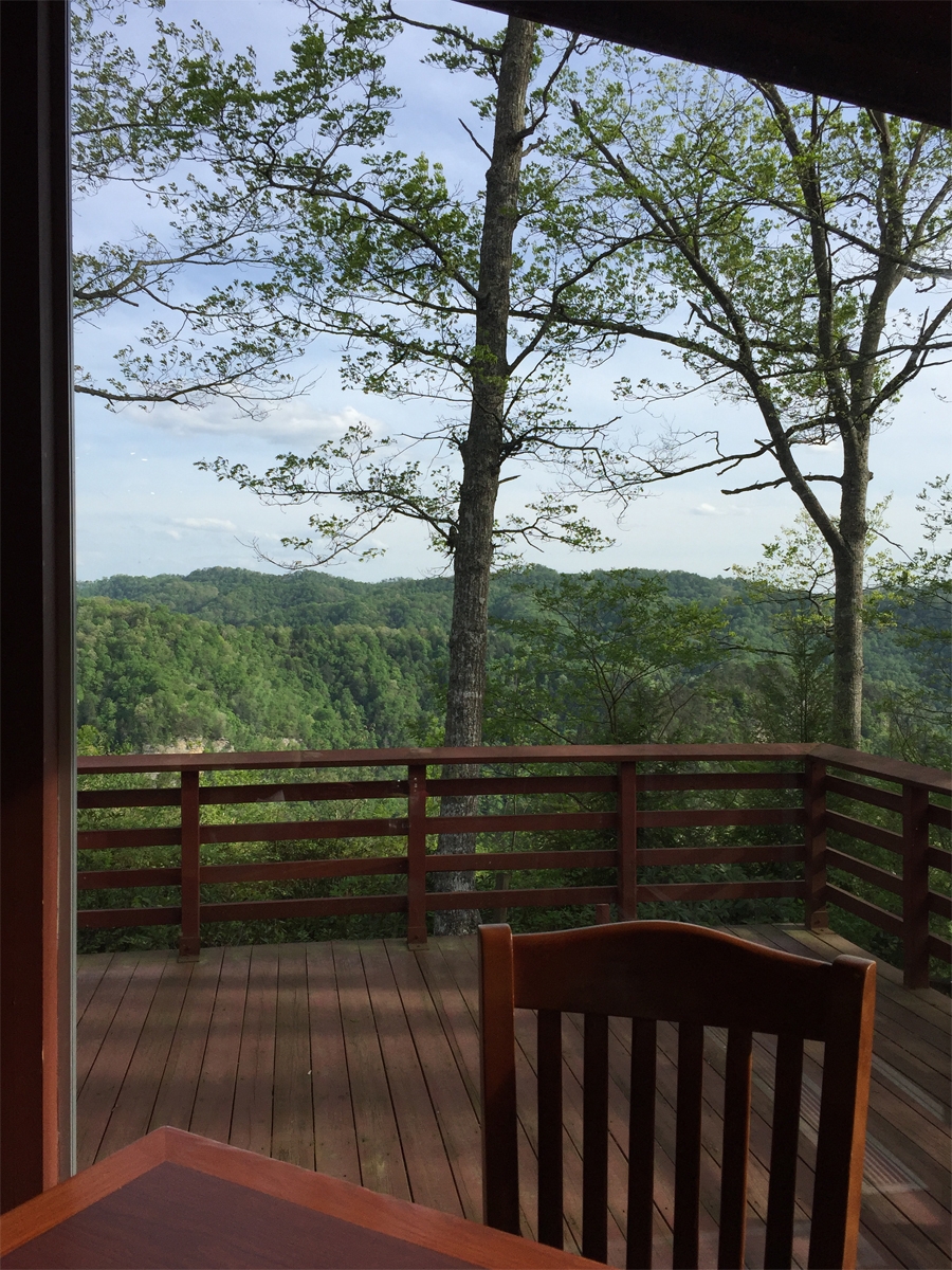
My view during dinner at the lodge’s restaurant.
The view was the best part about dinner. That and the 3+ glasses of ice-cold iced tea that I chugged down. The service was excellent, but the food was just okay. State park concessions are not usually known for their fancy vittles.
After dinner, I wandered around the park a bit more. I was too tired for much else.
Looking back, I was probably dehydrated. I never drink enough when riding on hot days. Another reminder lesson learned.
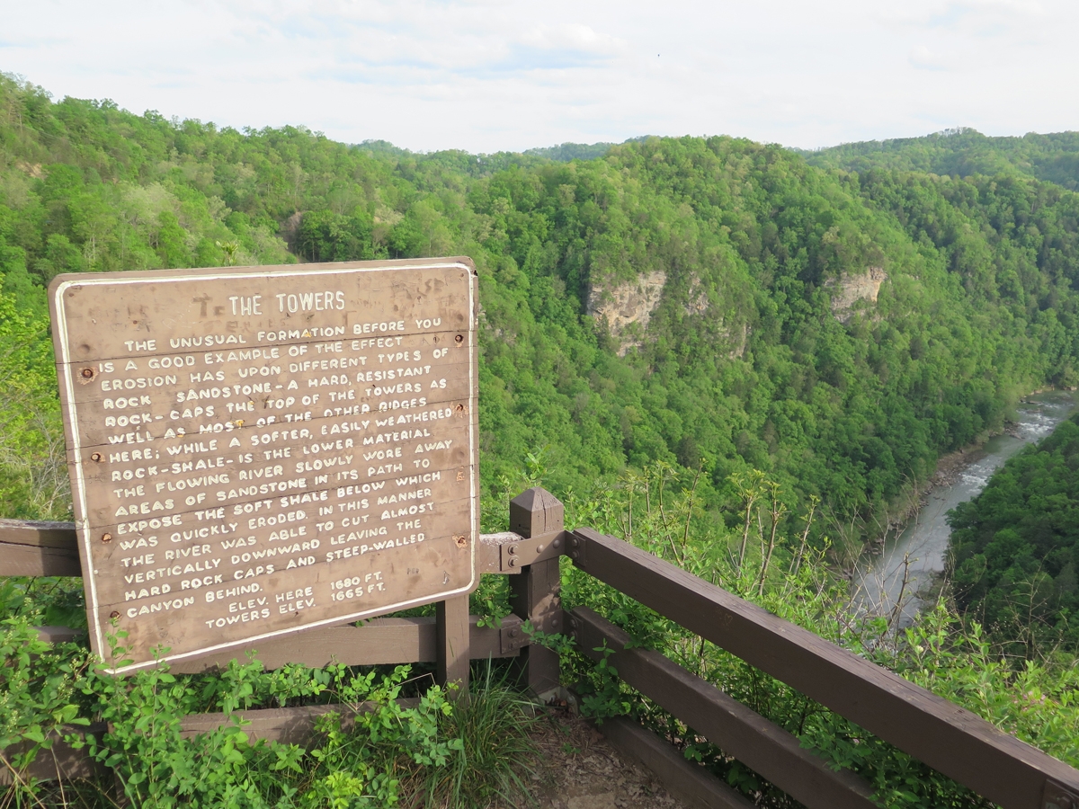
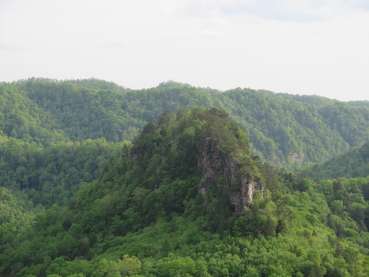
Information sign at The Towers Overlook.
One of the two towers.
Kind of amazing when you think water did that. Even if it isn’t as “grand” as THE Grand Canyon.
All of the buildings had storm shelters.
Seeing all the storm shelters freaked me out a little bit. I mean, it’s nice to know there are lots of shelters available, but they wouldn’t have so many shelters if weather up on the ridge didn’t get rather fierce. Am I right?
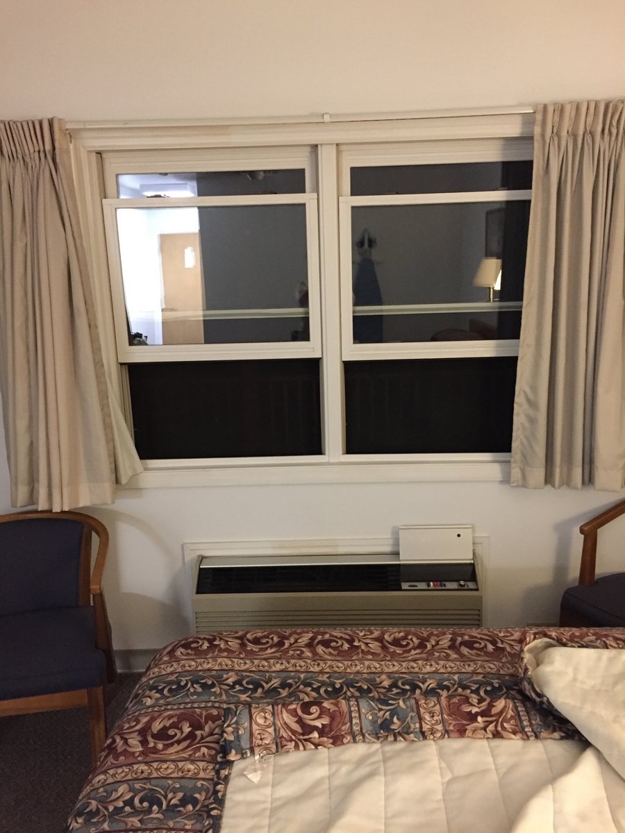
My lodge room was big, but basic. It had all the amenities, but the decor was plain. I did enjoy having a balcony AND being able to open the windows. I got to listen to night sounds, so it felt just like camping in the woods (or staying at our old WV Place).
The windows in my room were staring at me!
From the bed, I couldn’t see the “mouth” of that monster. I only saw a face when I stood up. LOL.
The next morning, I awoke to the sound of wind howling through the trees. I looked outside and saw a lot of gray clouds. I checked the weather radar and saw lots of storms headed my way.
Stormy Morning
I don’t mind rain that much, as long as I have the proper gear along (I did). But I had no desire to be descending through the mountains on unfamiliar and very twisty two-lane, tree-lined roads during a thunderstorm or two.
I packed in record time and got out of there. I’d hoped to capture more pics around the park that morning, but chose to outrun the thunderstorms instead.
I did manage to get out of the high mountains before the rain caught up with me. But it was fine. All part of the adventure. 🙂
One of the places I definitely wanted to visit during my trip was Breaks Interstate Park. It’s in far southwestern Virginia and actually straddles the Virginia-Kentucky border, hence the “interstate” name. I also wanted to spend some time on WV-52, because I remembered reading that it was a good road.
On Sunday morning, as I drank my coffee, I looked at my various maps — Google and paper — to figure out a route for the day. I THINK I wrote the directions, but can’t remember. I plugged it into Google maps on my phone, too. But it wasn’t a complicated set of instructions. Head southwest on WV-20 then north on US-52. North of Welch at Panther, I’d be turning left to cross the mountains. Easy, right?
The next challenge was repacking the top case in such a way that all my stuff fit. My clothing, toiletries, shoes, and rain/cold weather gear went in the panniers (boxes that hang on the side of the bike).
Pretty weather as I left Princeton.
I hadn’t gone far at all on WV-20 before I realized Hubby and I had ridden there previously. In fact, we’d even been on US-52 all the way to Welch. That was actually the trip — in October 2010 — where we’d heard about Breaks Interstate Park.
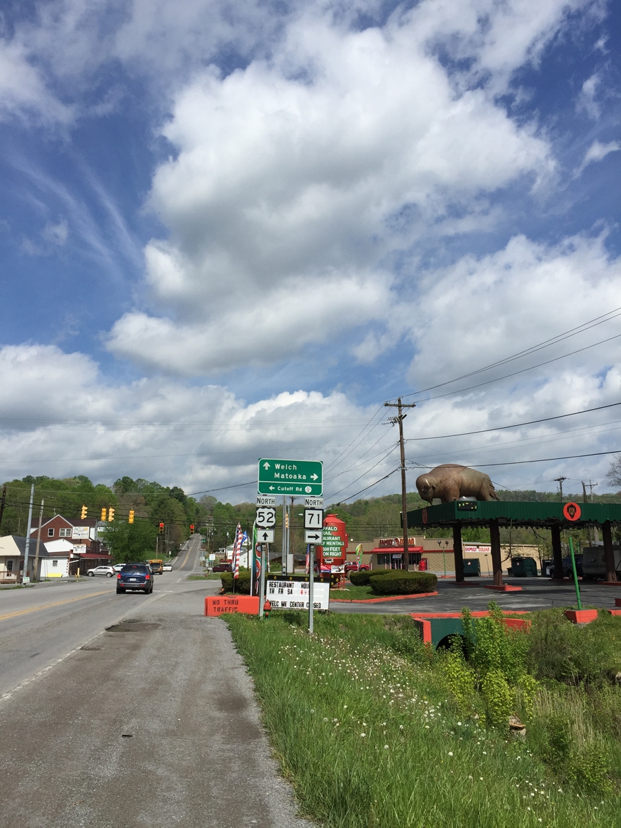
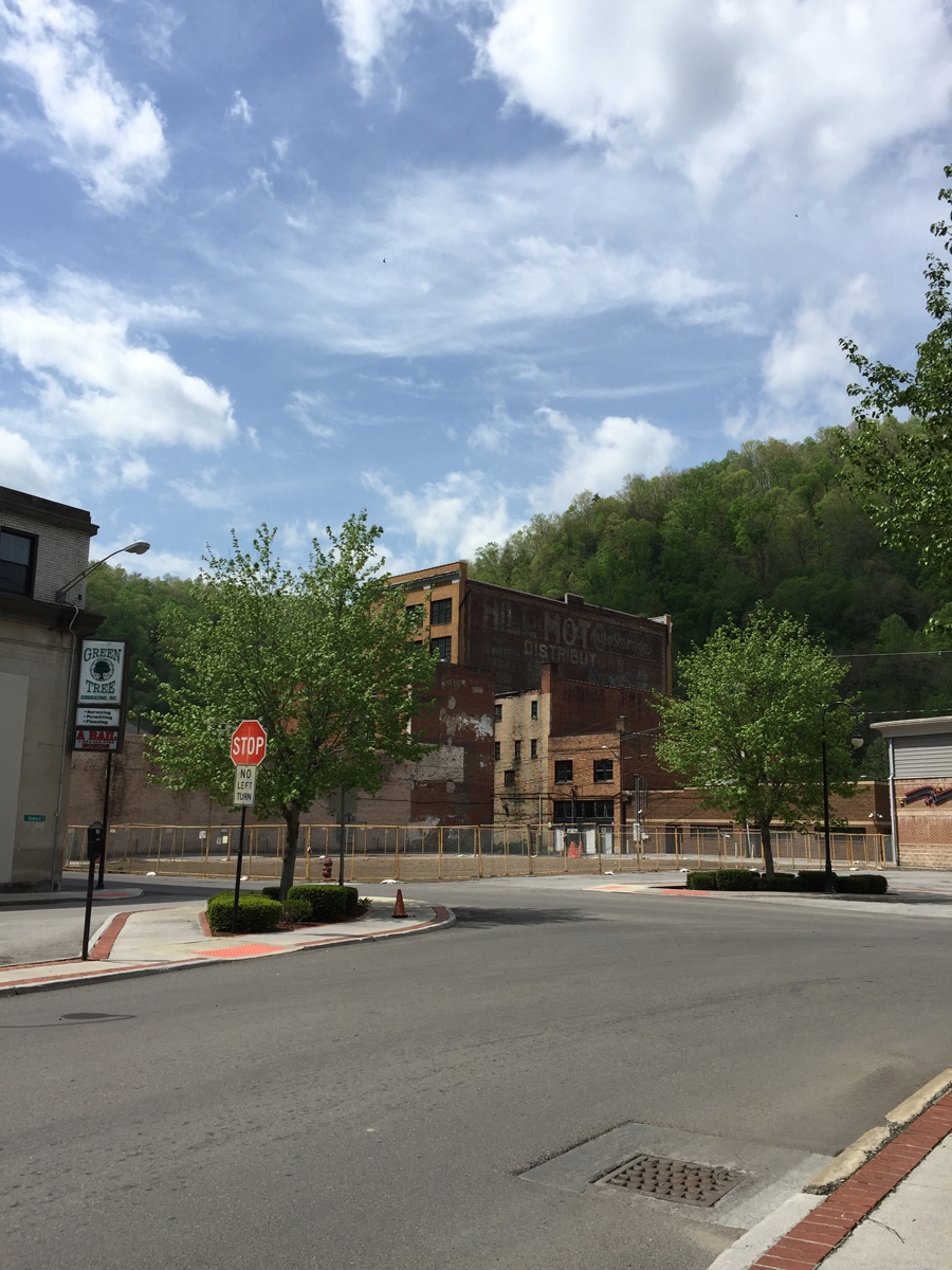
I knew we hadn’t been to the town of Welch previously. I was curious to visit, since it is the county seat and should be doing better than surrounding communities in that woefully depressed region.
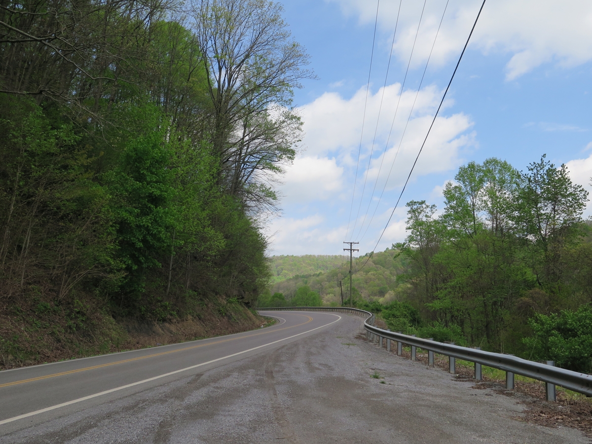
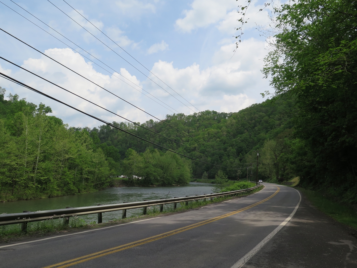
Along US-52 south of Welch.
The highway did pass through several smaller towns, all of which had seen better days, but there most of the route was rural.
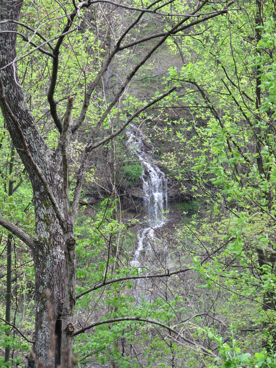
Waterfall alongside of the highway.
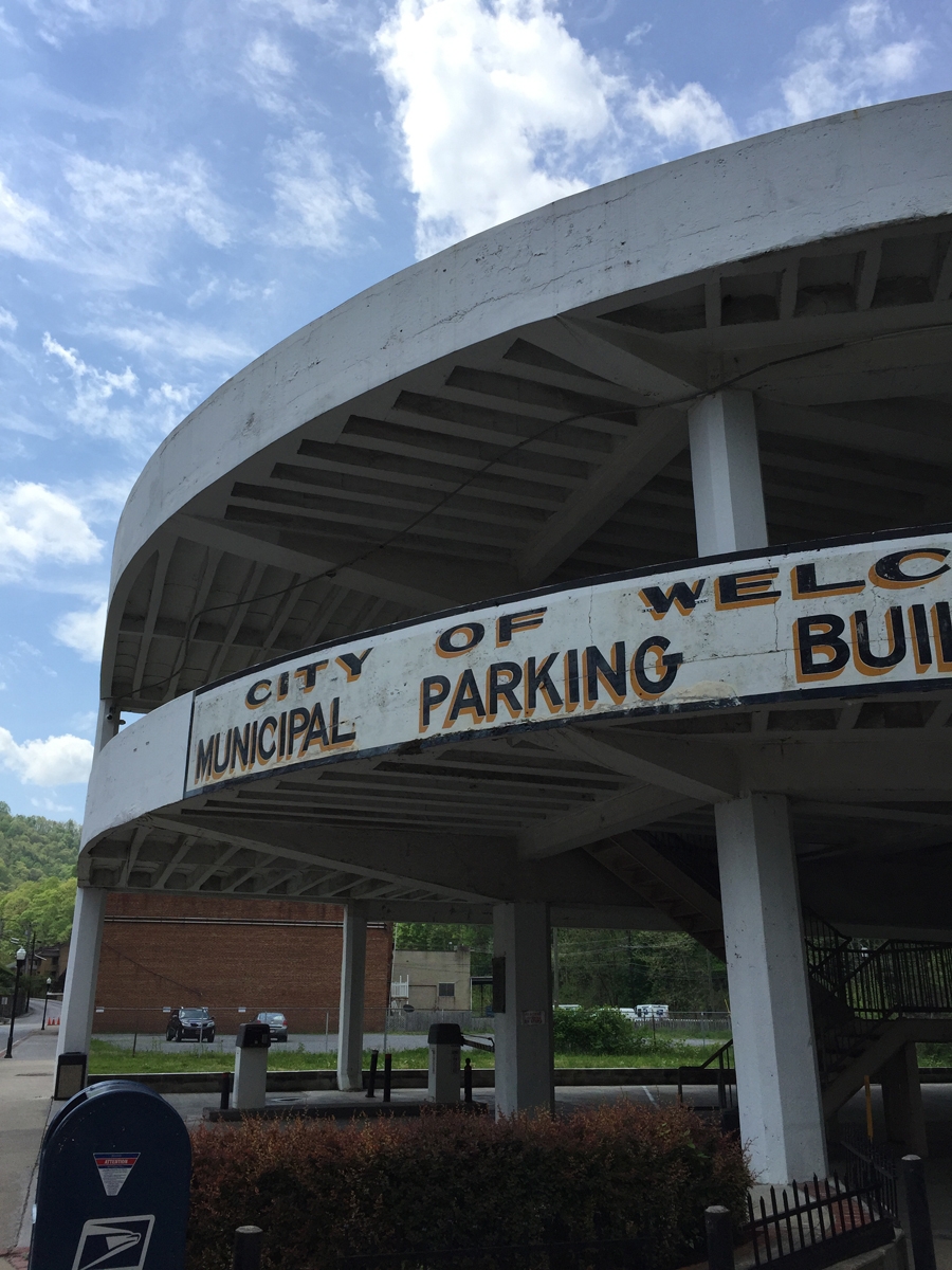
Welch, West Virginia
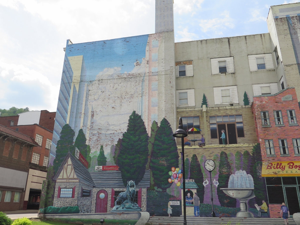
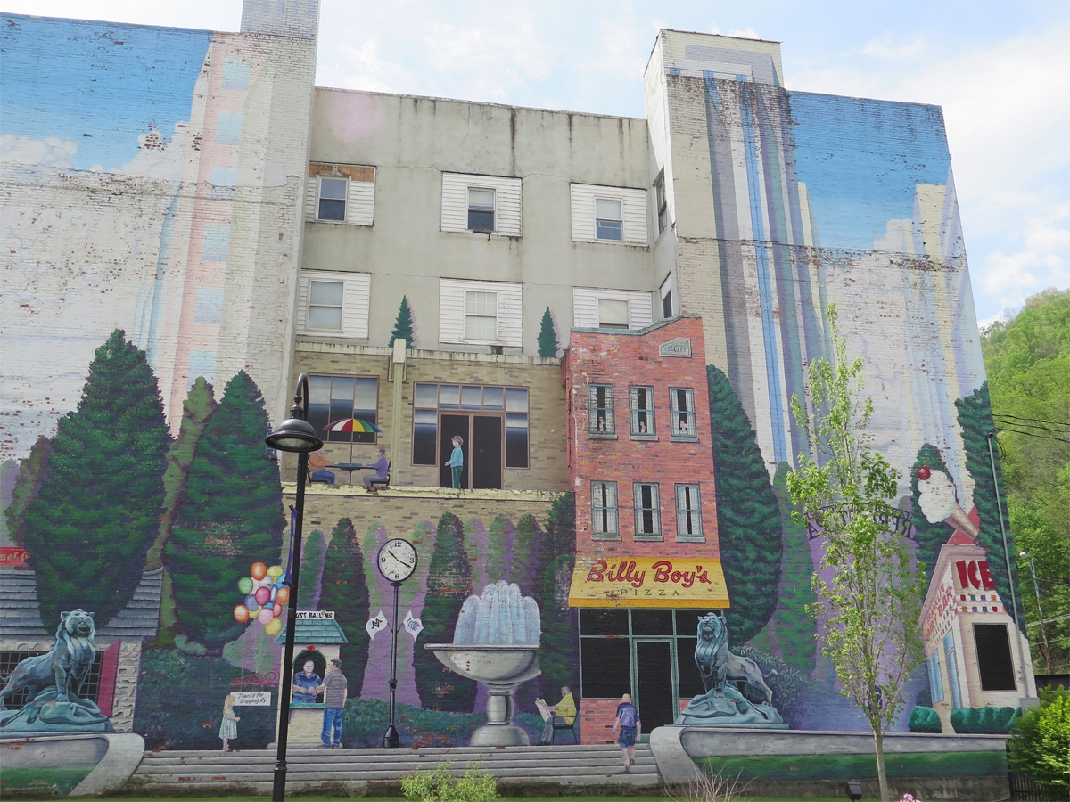
For the most part, the town of Welch looked about as I’d expected. There have been efforts at beautification, but there still appear to be lots of vacant storefronts and other buildings in town.
Mural in Downtown Welch
Mural in Downtown Welch
Downtown Welch
Downtown Welch
I did take some video along the way, which I’ll have to edit before posting.
From Welch, I continued North along highway 52. I rode for quite a while before I started thinking I may have missed a turn. I pulled off to the side of the roads to check my maps and confirmed my suspicions.
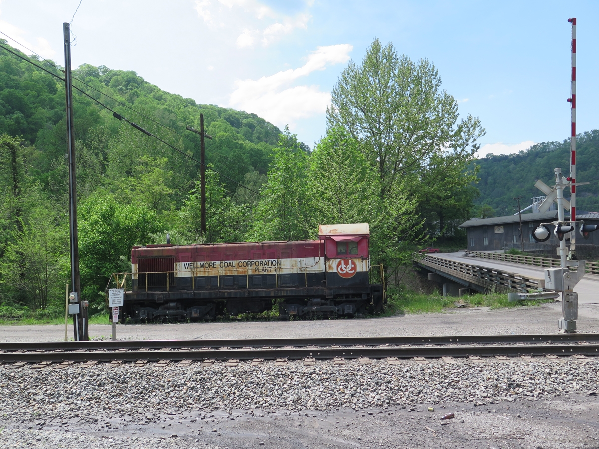
Near Gilbert, WV, along the Guyandotte River.
I could have doubled back along the same route, but chose a shortcut through the mountains instead.
I wasn’t at all prepared for what I saw.
The towns along the highway looked depressed, but along the back roads it often felt like I was driving through a third world country. The poverty in that area really is extreme. I must have looked like an alien to those people.
On one hand, I wanted to take pictures, to show y’all what I saw. But on the other hand, I couldn’t. I didn’t want those people thinking I was looking down on them. Gawking at their plight. Or even pitying them.
There is a great deal of natural beauty in that region, but there was little beauty to be seen in the houses, mobile homes, and other dwellings scattered along those back roads. There was nothing even remotely pretty or picturesque. Run-down shacks, some of which were still being lived in. Camping trailers older than me serving as people’s homes. Burnt-out buildings, left standing, I assume, because it takes money to tear them down. Cars and other vehicles in various states of disrepair, some no more than empty shells.
People should not live like that in America. Really.
Most of the time I was riding through that area, I had no real clue where I was, or if I was on the right roads, even. But I felt like I was headed in the right direction, so I pushed on. I was never scared or worried. I just kept going, absorbing all that I saw. It was heartbreaking.
I did capture a few general pics along the way, after I’d left the residential areas behind.
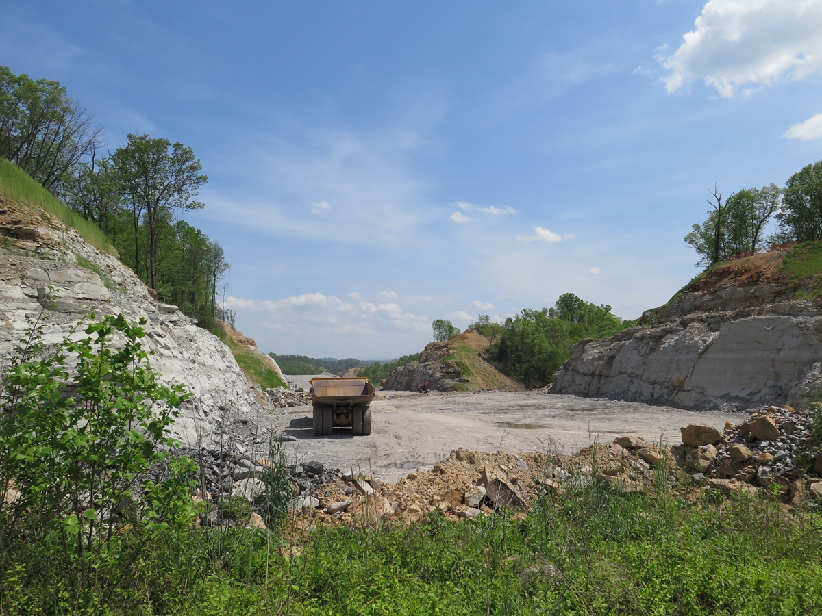
Road project or surface mining operation?
One thing is for sure, I was REALLY happy to see the sign in the next photo.
Breaks, Virginia
I’d found Breaks, Virginia! My gut had been right about my direction of travel.
I couldn’t find the park entrance initially, and I had no cell signal, so I headed to the closest town where I knew from that previous trip that I’d find a Hardee’s for lunch and, hopefully, a wifi connection.
I knew I couldn’t linger long. It was actually late-afternoon and I thought I had many more miles to cover before I would find any decent motel rooms. I thought the lodge and other concessions in the park weren’t open. Imagine my delight when I reached the park and discovered the lodge and restaurant open for the weekend.
Honestly, I was pooped. It had been a long, emotionally draining day. It had been hot that day, too. I was sooooo happy not to have to spend a few more hours in the saddle.
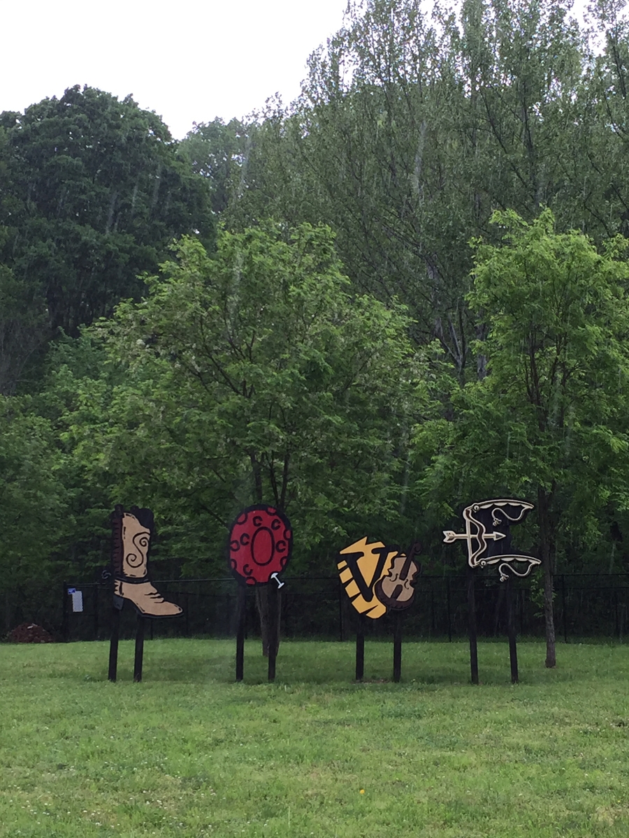
When I started my quest to visit and capture pics of all the LOVEworks in Virginia, I wasn’t thinking that more would keep getting added. Back then, there were less than 50. Now, there are over 70 on the list. And I know of at least two that have yet to be listed. So I have no idea how many there actually are.
Monterey, which sits at the intersection of US-250 and US-220 — both fabulous motorcycle roads — is always a pleasant place to visit. (Something I learned recently, which may also interest some of you, is that US-250 is part of what used to be known as the Staunton-Parkersburg Turnpike.)
I do remember having read about the Monterey LOVEwork in Highland County becoming the 50th LOVE artwork. And I’d vaguely remembered reading about the Highland County LOVEwork and why they’d chosen to use a quilt theme. According to the Virginia.org website:
The LOVE letters in Highland County celebrate the rural landscape and heritage of this scenic community. In recognition of the many barn quilts located throughout the county, the LOVE letters used traditional quilt block patterns to highlight the many special features in Highland. L uses Maple Block to celebrate our maple products and popular festival in March, O uses the Double Wedding Ring to recognize our family heritage and sense of community, V is painted in Flying Geese to show our love of our wildlife and farm animals, and the E uses the Log Cabin block to represent our country style and love of home.
It was only after I saw that first barn quilt on the mountain east of Monterey that I remembered the connection.
The first barn quilt of the trip.
I didn’t follow the trail during my recent trip, but I did see some very nice barn quilts along the route I eventually chose to take though the county (US-250 west into West Virginia).
Ugly building, pretty barn quilt.
That one was right in town. I suspect maybe that one was sponsored by the town, since that sort of looks like a public works-type building.
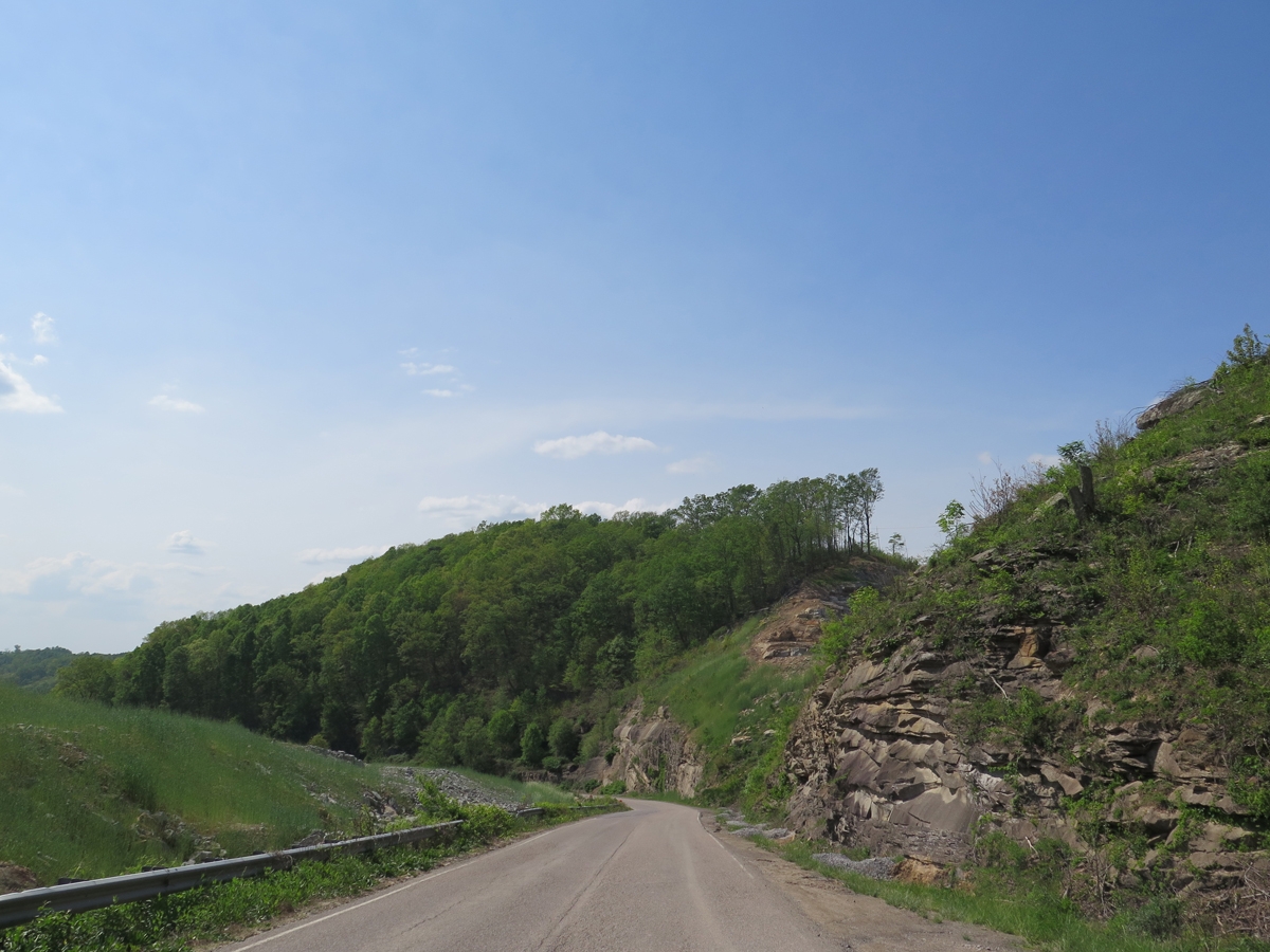
US-250 is a FUN road.
My camera was not tilted, the road is banked. 🙂
Scenery along US-250 just west of Monterey.
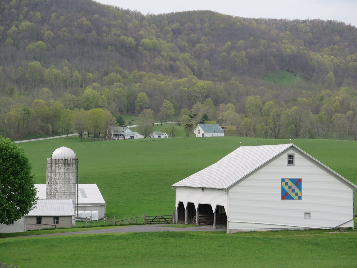
More barn quilts.
Doesn’t that one look lovely on the white barn?
Intricate Design
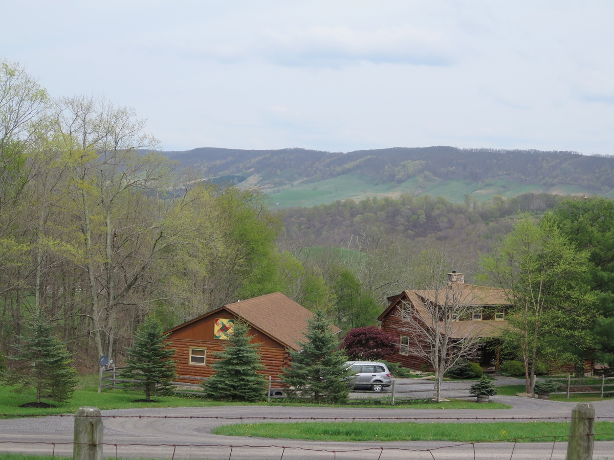
Monterey is only about 15 miles west of the VA/WV border. It was taking me a lot longer than anticipated to cover those few miles, what with all the stops. (That’s the sort of thing the would drive my Hubby crazy.)
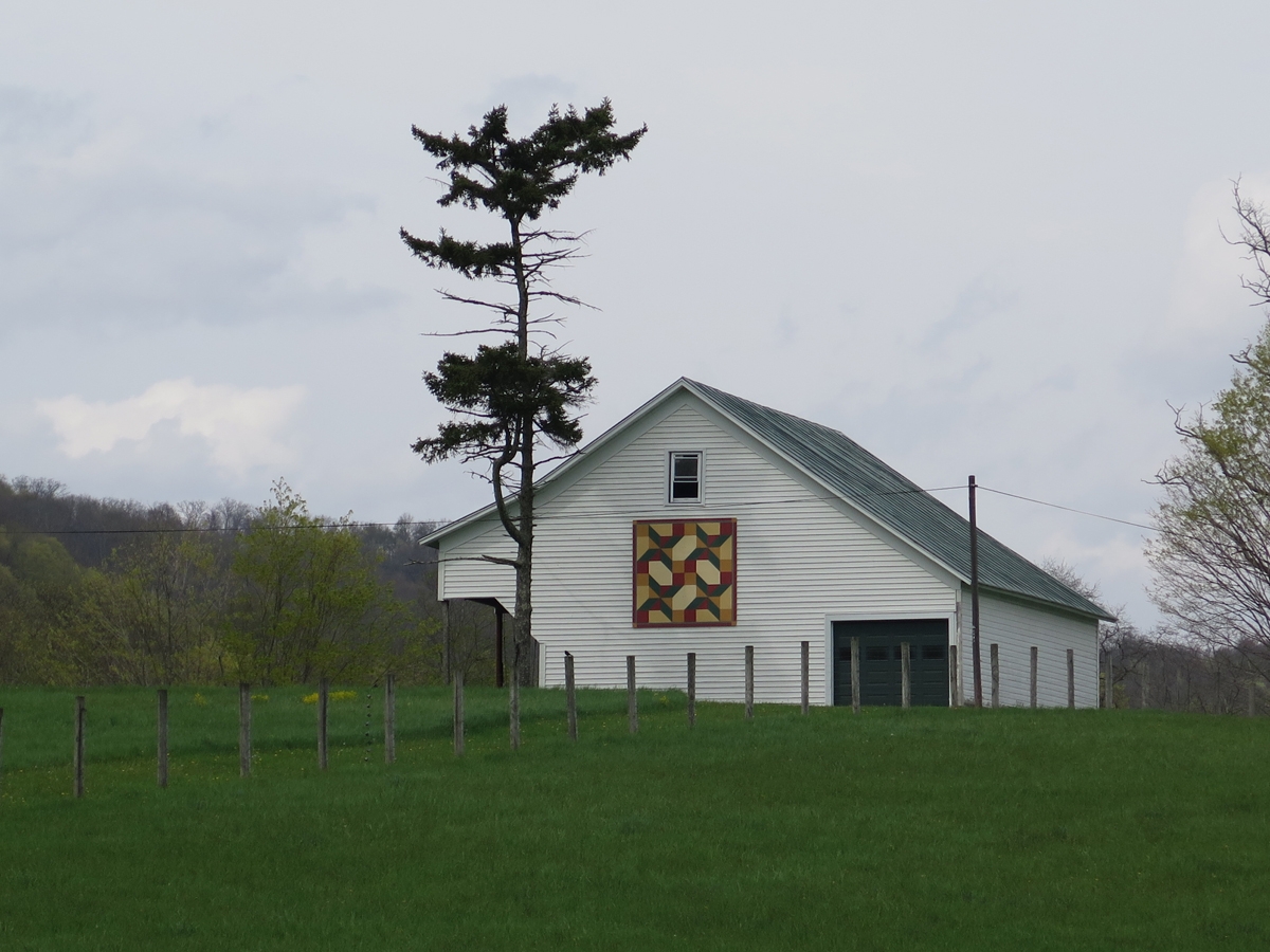
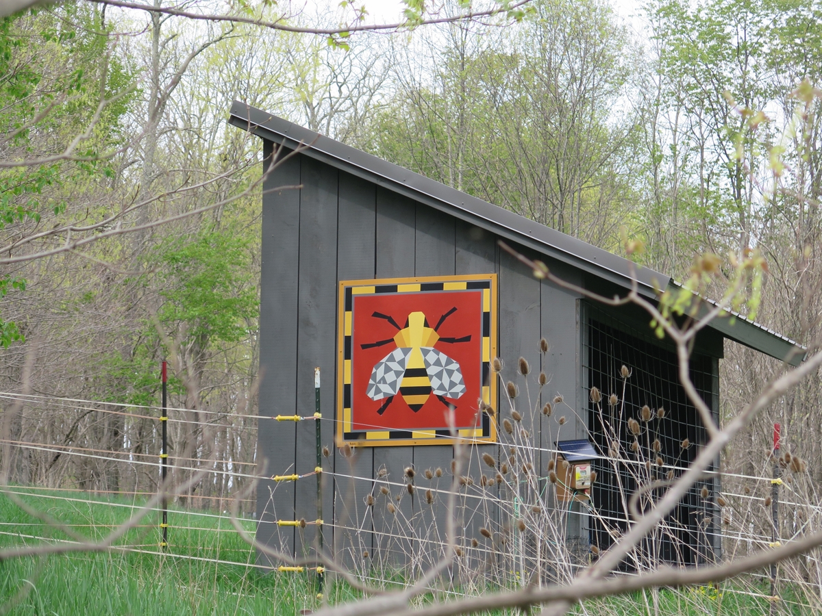
Some folks have more than one barn quilt. I thin.
The next one is certainly one of my favorites. I suspect it os owned by the same folks whose house is pictured immediately above, but I don’t know for sure.
Bee Barn Quilt!
Do you love that one, too?
The road surface could use a little work, but it’s still awesome.
You have to look a bit harder to find some of the barn quilts.
Shed tucked away atop a hill.
Closer look at the shed.
That was either the last one I saw before hitting WV, or it was the last one I could safely stop to photograph. US-250 is, after all, a twisty mountain road, and there aren’t always safe spots to pull off for stops.
Keep moooving, ToadMama!
Those cows were actually near the white barn in the first photo above (the Surprised Barn). I can’t remember if it was in VA or WV, but I do remember that the barn made me laugh. And seeing cows stare at me every time I stop always makes me smile.
I hope you enjoyed the Highland County barn quilts as much as I did. I saw even more in West Virginia. That’ll be in my next post.