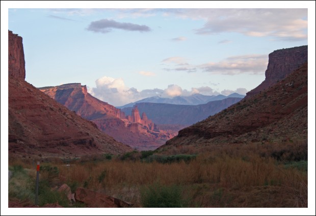
Swan Lake Trail

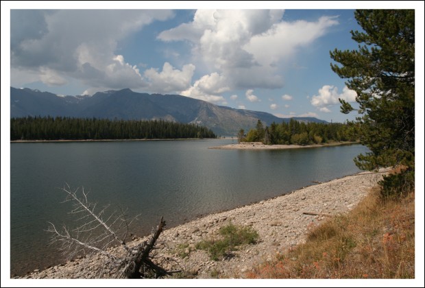
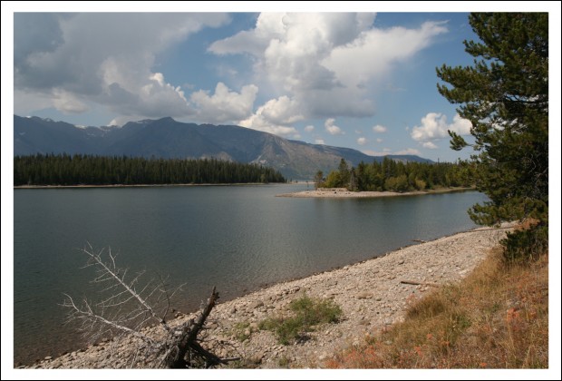
During our recent visit to Grand Teton National Park, we decided to do an easy hike. It started near our cabin, went along Jackson Lake (the big one) and through the woods on relatively level ground past a couple of smaller bodies of water.

Colter Bay in Jackson Lake

Have I said before that Grand Teton National Park is one of my favorite places on Earth?

As you can see from the pics, we got pretty lucky with the weather. Mornings were cool, but the days warmed-up nicely.
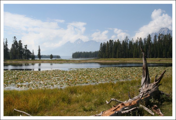
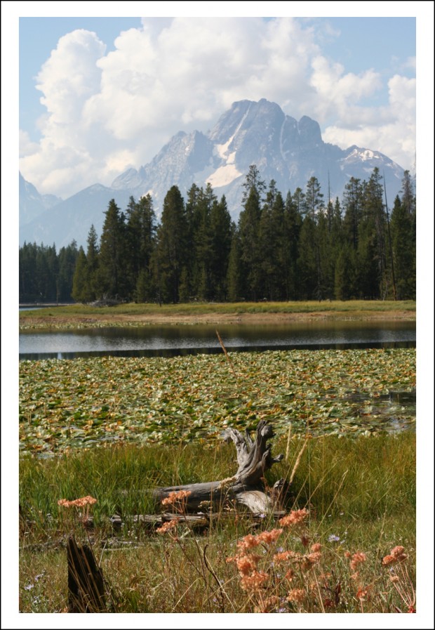
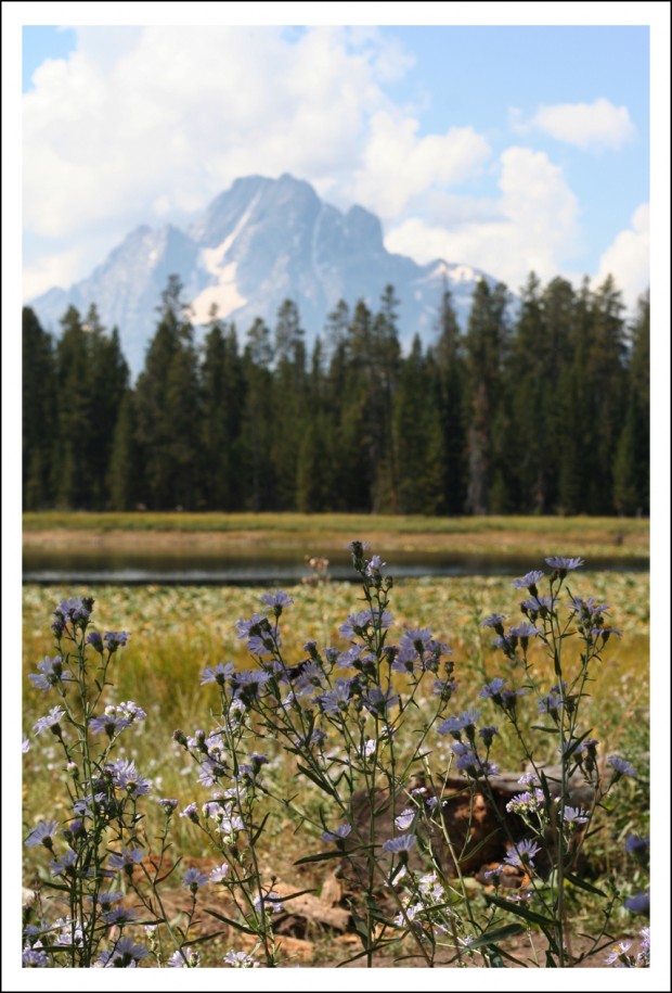
Heron Pond

After leaving the shore of Jackson Lake, we wound through the woods to the much-smaller Heron Pond. Heron Pond is only separated from Jackson Lake at one point by a narrow strip of land. If you look at the center of the image above, the lake in the foreground is Heron Pond while the water in the background (in front of the mountain) is Half Moon Bay in Jackson Lake. This MAP will give you a better idea as to the scale of this place.

My companions laughed at me when I was shooting the image above. In order to capture those flowers in the foreground of my shot, I had to get down on my hands and knees with my butt up in the air and face almost on the ground. Sure, I looked stupid. (Annelies took a picture to prove it!) But I got a great shot, right?

After a bit, we continued on to Swan Lake (pictured below).
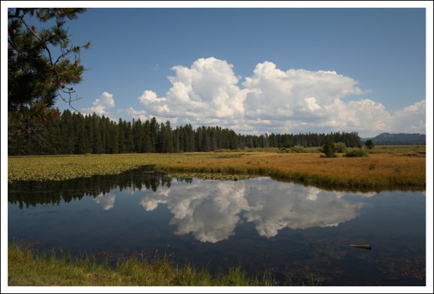
Reflections at Swan Lake

Even though you can’t see the Teton Range (mountains) in this shot, I like it for the cool cloud reflection.

I captured another version of the same scene in the image below.
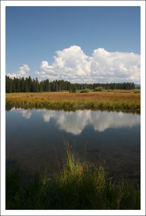
Swan Lake Reflections

I like the second shot better. I like how much depth it has thanks to the grass in the foreground.

Hubby isn’t a fan of images shot in the portrait orientation used for the second image. He prefers the wider, landscape view.

Which one do you like better?
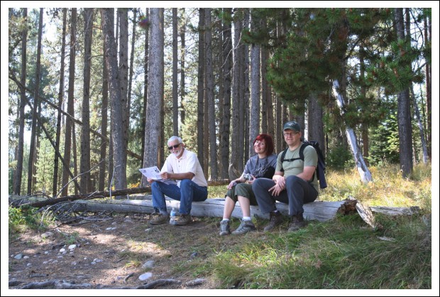
Perfectly Positioned Log

The stunning view of Swan Lake captured in those images is what we saw from this log. I sat there for a while, too, which is why there’s a gap between Hubby and Annelies. But I just couldn’t sit still with those very cool cloud reflections just waiting to be captured.
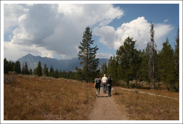
Finishing the Hike

Our men were great sports about letting us take pictures to our hearts’ content. After a few more shots and some leisurely poking around, we finished our hike.
Antelope Island

With everything going on at the moment (move-related stuff), there’s no way I am going to be able to do a nice, logical/methodical description of the vacation. So I decided to just pick a date at random as time permits and share a few photos. With explanations, of course.
The first date I selected was September 11. That was the day we left Salt Lake City (SLC), which was really just a layover for us, and headed for Grand Teton National Park.
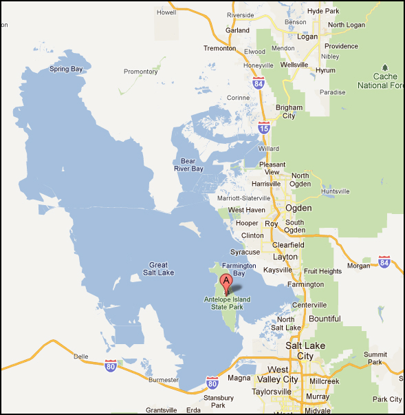
Annelies had never been to SLC. I had only passed through previously. Neither of us had ever looked into any of the Mormon history stuff. We’d never visited the Great Salt Lake either. In fact, I’d only ever seen it from a distance. Both of us, being the travel geeks that we are, thought it would be cool to not only see the lake, but touch it. So we selected a spot on the map that would give us lake access.

Hubby did the selecting for he and I. Annelies used her maps and GPS. Both ended up choosing Antelope Island State Park.

It really was chosen just because it looked like we’d be able to get to the water (as evidenced by the map at left). None of us knew a thing about the place in advance.

It ended up being the third really nice surprise location we discovered during our trip.

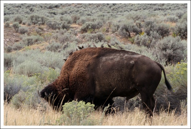
Why such a surprise? We had no idea we’d be seeing wildlife there. We just thought we’d stop, touch the water, and be on our way. For example, we had no idea that Antelope Island is home to one of the largest publicly owned bison herds in the nation.

While Hubby and I have seen bison in large numbers before, Annelies and Yves hadn’t. So they were very excited.

Hitch-hikers

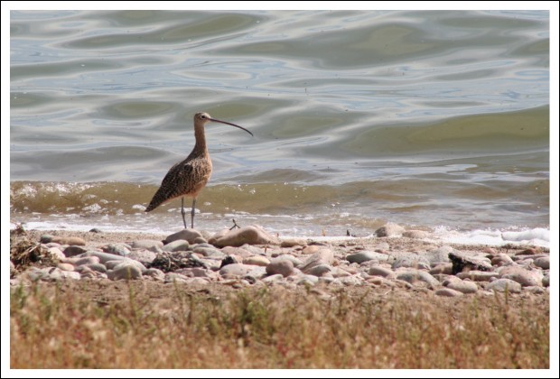
I was already excited before we saw the bison. To get to the island, you have to drive across a causeway, both sides of which were chock-full of all sorts of cool water birds.

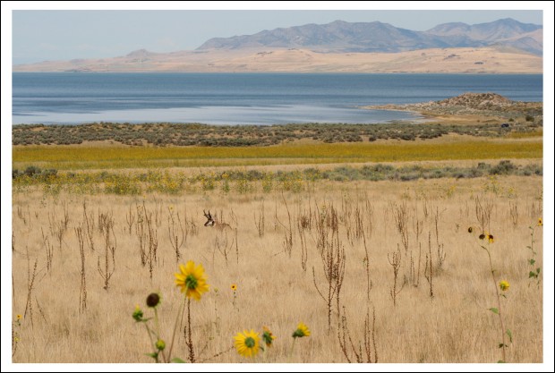
The island itself was gorgeous. Keep in mind, SLC is surrounded by mountains. And the island was named “Antelope” Island for a reason.

Pronghorn Antelope

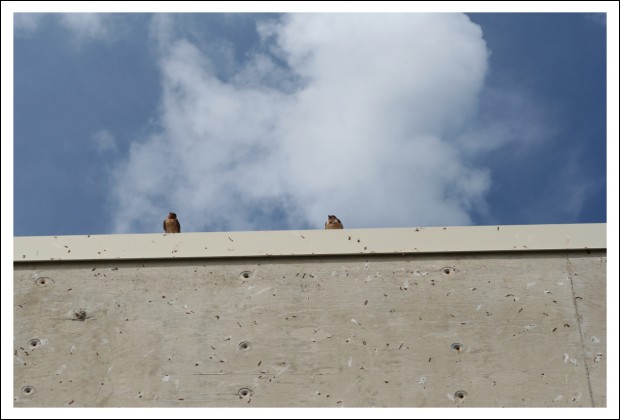
We stopped at the visitor’s center and were entertained by a large flock of Cliff Swallows.

Curious Cliff Swallows

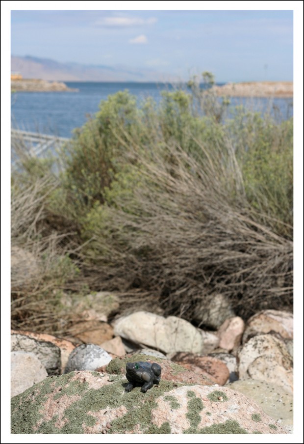
Inside the visitor’s center was a cute little gift shop, where I was able to purchase a new toad. (In case you missed the tragedy report, my frog was lost!)

My New Toad

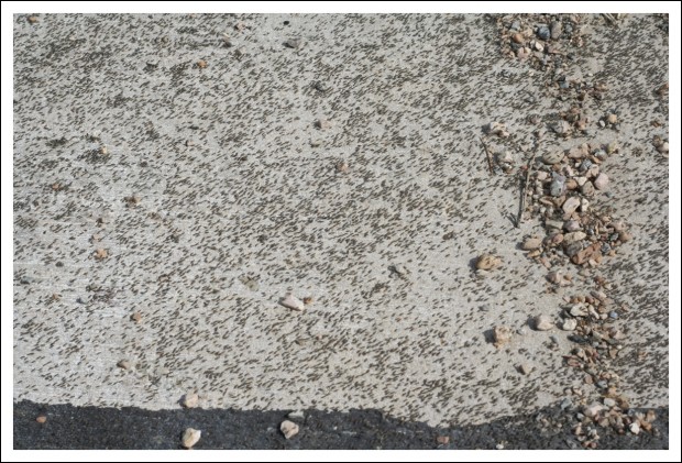
When I went to touch the water, Hubby waited in the truck. That’s when I saw the brine flies, which I found quite intriguing.

Keep in mind, I had no idea what they were. I thought I was walking through dirt. But, as I approached, the “dirt” took off, en masse. Buzzing.

I stopped. They landed. I stepped. They moved.

It was the weirdest thing. Not only could I see them, I could hear them, too!

When I went back to get Mike, he looked at me as if I were crazy after I told him “you have to come and see these flies.”

Brine Flies on Ground

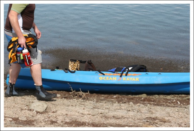
There’s a YouTube video (not mine) that shows these harmless creatures. The image below shows a swarm that launched itself when a guy put his kayak in the water.

Airborne Brine Flies (not on the water, flying over the boat)

Yes, Hubby was intrigued, too.

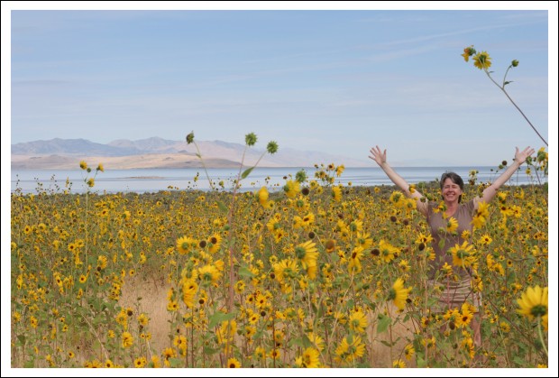
But the coolest thing about the island — REALLY cool — were the gazillion sunflowers gracing its shores.

Apparently, there are over 60 species of sunflower that grow wild in Utah.

Sunflowers!

I’ve never seen so many sunflowers. It was awesome.

Now, I am off to pack.

Maybe I’ll find a few spare minutes for more random images tomorrow…

If there’s anything specific you’d like to see, let me know.

Home Home Home

image

After a fabulous two-week vacation, it’s time for us to go home.

It’s a happy/sad time. We will miss our friends dearly; living on separate continents sucks. But we’ll be very happy to see our family. And our dogs.

I’ll post more about the trip some day. Tomorrow, we have to resume packing. The big move is only 13 days away…

Wyoming and Montana

We made it to Grand Teton safely on Sunday. This whole vacation has been fantastic, but our time at Grand Teton was some of the most relaxing ever. Not because we just sat around, but because we took our time doing what we wanted, when we wanted, and didn’t have to be anywhere at any certain time.

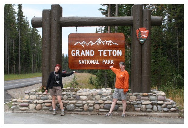
Entering Grand Teton National Park

We left the alien landscape of the desert behind and were treated with some more amazing mountain scenery.

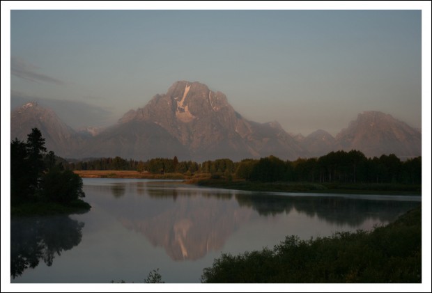
Sunrise at Oxbow Bend

Grand Teton National Park is like no other place on Earth. Annelies described it as “very Zen.” I thought that was pretty appropriate.

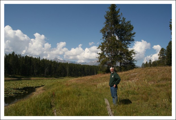
Colter Bay Trail Hike

The above image and the two that follow were shot during one of our hikes.

Colter Bay Trail Hike
Jackson Lake

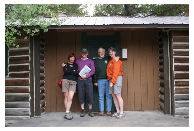
The next image was taken yesterday before we left GTNP. This is the quaint little two-bedroom cabin we shared. It was at Colter Bay Village in GTNP.

Group Shot at Cabin

And now we are at Yellowstone. We are staying outside of the park in West Yellowstone, Montana. This is our last full day here. So I need to sign off and get moving.

We’ll be homeward bound tomorrow.

Arches National Park

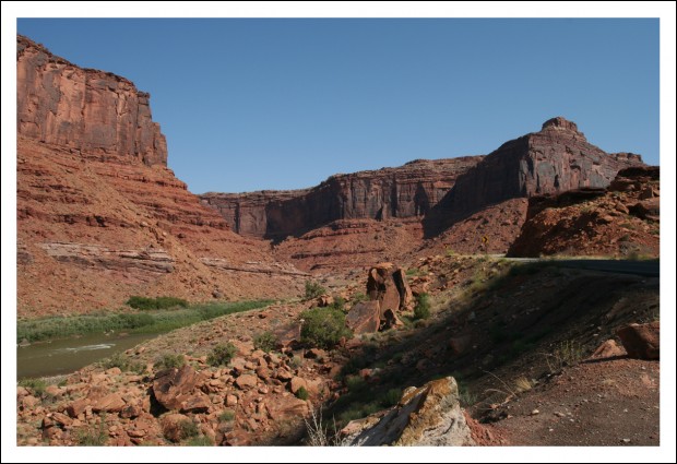
We arrived in Moab, Utah just before sunset on Tuesday. I think. I’ve sort of lost track of our days.

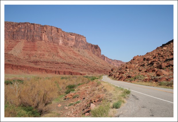
The road into Moab was so gorgeous, we decided to revisit it the next morning.

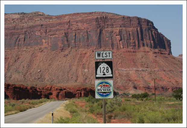
Utah's Scenic Highways are Breathtaking

This road skirts Arches National Park. The scenery was amazing.

Along Utah 128 Near Moab

After revisiting Utah 128, we popped into Arches National Park to get our tickets for the 3:00 Fiery Furnace tour then drove out to Deadhorse Point State Park.

Why a state park?

You know the movie Thelma & Louise? The ending where, together, they are driving through what looked like the Grand Canyon?

Thelma & Louise Ending

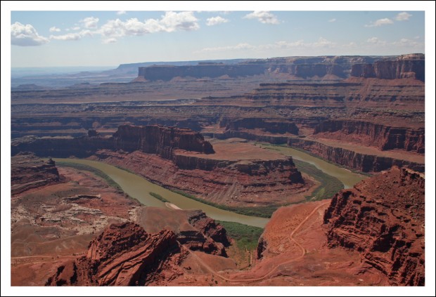
It wasn’t the Grand Canyon. It was the point where the Green River and Colorado River meet in Utah. You can see the canyon where they converge from Deadhorse Point State Park. You can also see it from a more-remote section of Canyonlands National Park, but that was further away.

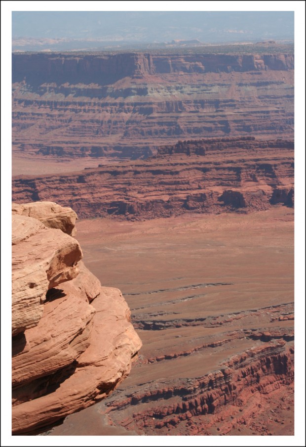
View from Deadhorse Point State Park
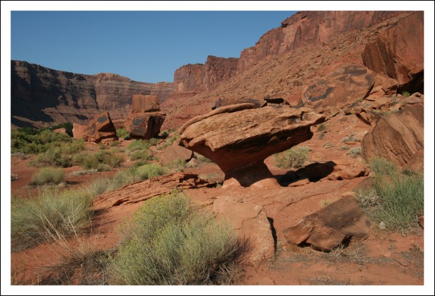
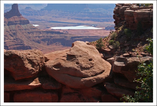
Special Rock at Deadhorse Point Parking Area
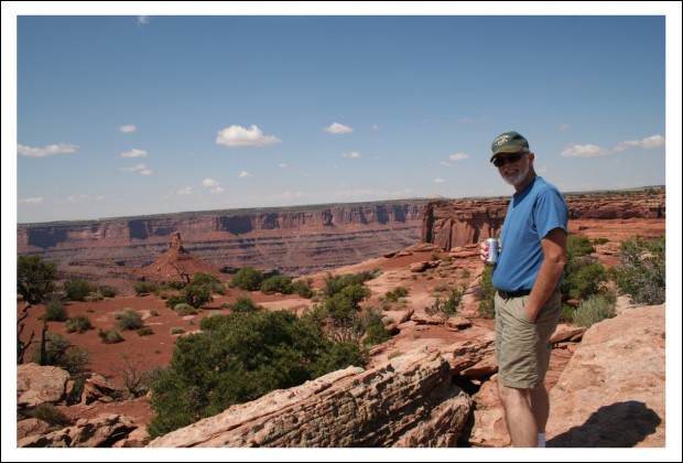
Hubby at Deadhorse Point
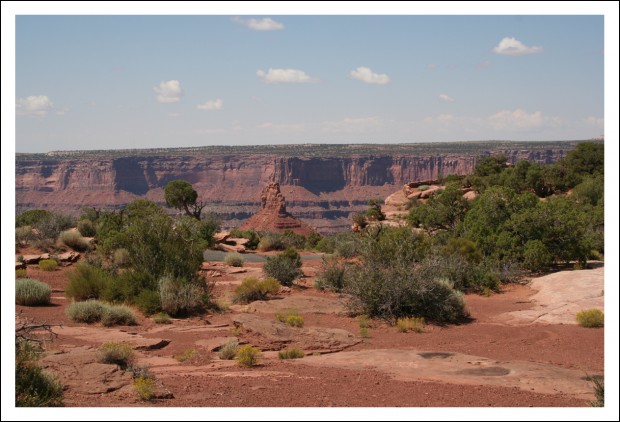
Deadhorse Point Scenery
More Deadhorse Point
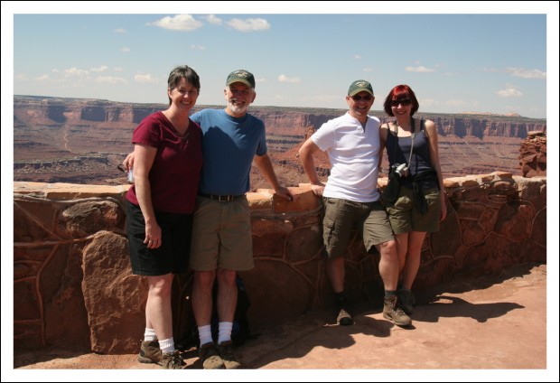
Group Photo at Deadhorse Point

We ate lunch at the state park and then headed to Arches for the afternoon.

There was a tragic event earlier that day, which I am very sad to have to report. It’s awful, really, but almost feels as if it were meant to be.

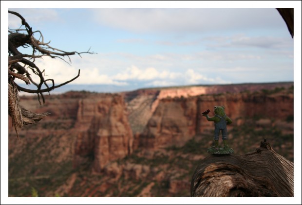
I lost my frog. I’m pretty sure he fell out of the truck during one of our stops along Utah 128. The day before, he was almost left at the Colorado National Monument.

So now I am on the hunt for a new mascot. A toad would be more-appropriate anyway, wouldn’t you say?

As for our afternoon at Arches… it was so chock full of amazing scenery, that I have to save that for the next post.

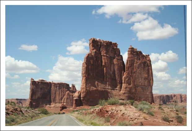
Here’s an image that was taken on the way to the park. It might even be in the park. I honestly can’t remember.

En Route to Arches National Park

We have seen so much amazing, breathtaking scenery over the last few days, it almost seems unreal at times.

And now, as I write this, we are in Salt Lake City, preparing to leave for Grand Teton National Park.

Yes, I’m a few days behind. We’ve been busy.

Grand Teton National Park is one of my favorite places in the world. Really.

I’m very excited. This whole trip has been one incredible sight after another. We’ve been traveling with Annelies and Yves for over a week and none of us are ready to kill each other yet.

Hopefully, the rest of the trip will go as smoothly.

Hello, Utah

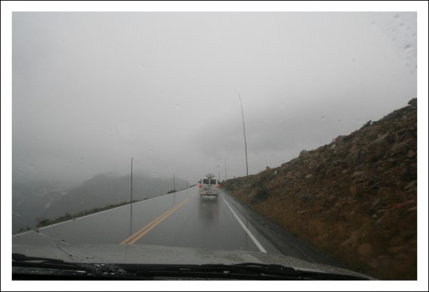
On Tuesday morning, we said goodbye to Shannon (she flew back to California) and the four of us headed for Utah. Lucky for us, it was a warm day (60 degrees as opposed to 30 degrees). If it had been 30 in the valley, we would have been screwed. Because we had to drive across a 12,000-plus foot mountain. As it was, we got hit with dense fog and snow flurries. On the day after Labor Day.

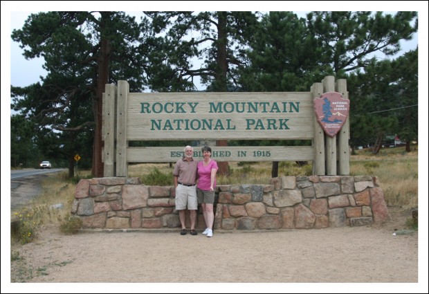
Hubby and Me Leaving Rocky Mountain National Park

Trail Ridge Road cuts across Rocky Mountain National Park. The highest point on the road is 12,183 feet. In the picture below, you can see the height of the snow stick. They put those along the roads so the plow-drivers can find the side of the road. When snow sticks are that tall, you know they get a LOT of snow.

Check Out the Height of Those Snow Sticks

After successfully traversing Trail Ridge Road, we headed south. We drove through Winter Park, Colorado, which was nice to see. Then we crossed another high pass on our way to Interstate 70. I must say, I-70 in Colorado and Utah is MUCH more scenic than I-70 in Maryland.

We passed quite a few other big-name ski resorts, too (Breckenridge, Copper Mountain, Aspen, and Keystone, to name a few). We even stopped for lunch in Vail. That may sound fancy, but we only ate at Subway. We still had a long way to go.

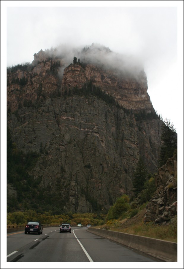
The rain stopped shortly after Vail, but the clouds lingered as we passed through Glenwood Canyon, which is supposed to be the most picturesque section of interstate in the country.

Interstate 70 Through Glenwood Canyon

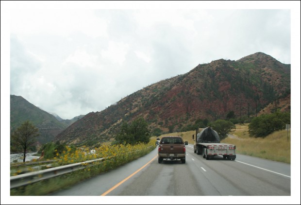
Shortly after that, the sky began to clear and the landscape started changing.

Changing Landscape

We continued heading south and west toward Utah, which was our ultimate destination.

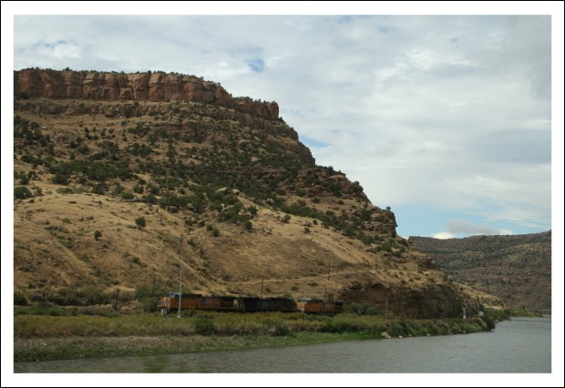
Desert Train

The further south and west we traveled, the clearer the skies became, and the more desert-like the terrain.

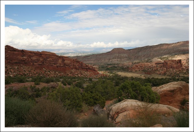
Before heading into Utah, we had one final stop in Colorado near Grand Junction… the Colorado National Monument.

Honestly, neither Annelies nor I knew much about this place. But we’re all national park fans. We knew we’d be passing close by, so we thought we should pop in. And boy are we ever glad we did.

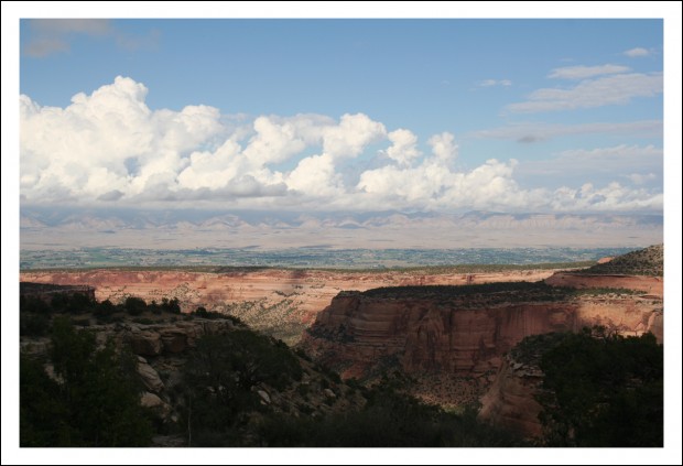
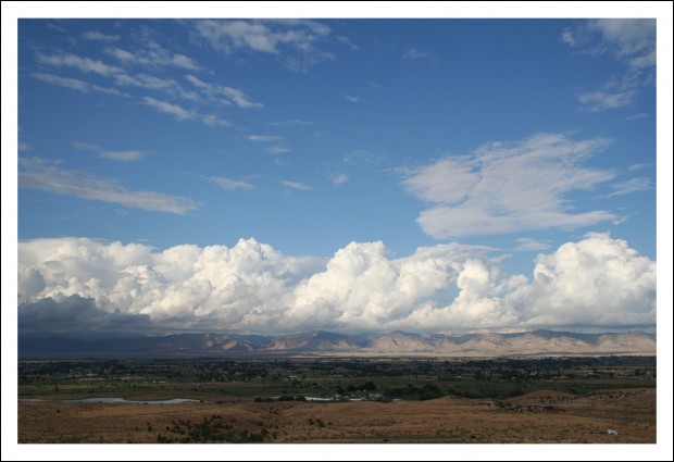
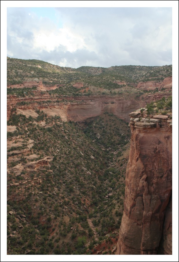
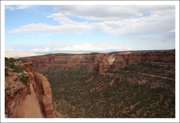
You want to see some amazing scenery? All of the following images were shot there.

Colorado National Monument


Colorado National Monument


Colorado National Monument


Colorado National Monument


Colorado National Monument


Colorado National Monument

It was breathtaking.

All that rain we drove through made for some pretty dramatic skies.

As gorgeous as it was, we couldn’t linger long. We still had to get to Utah.

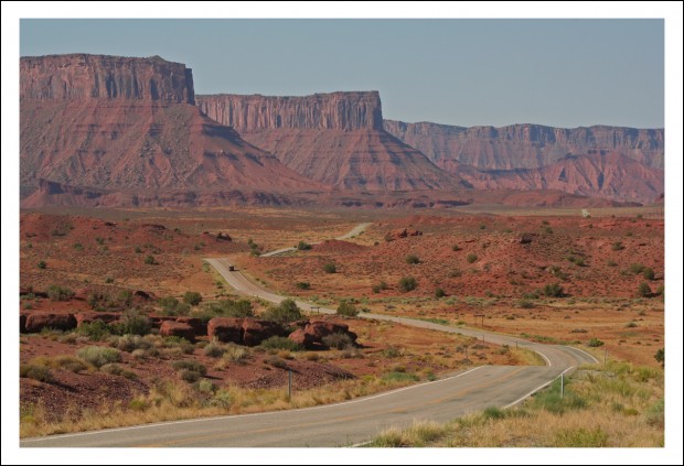
Castle Valley (near Moab, Utah)

Once we got to Utah, we were all completely blown away by the scenery. The image above is just one of the shots I captured en route to Moab, which is where Arches National Park is located.

Pics from there will have to wait until tomorrow. Those shots make the ones you see here look dull by comparison.

Stay tuned…