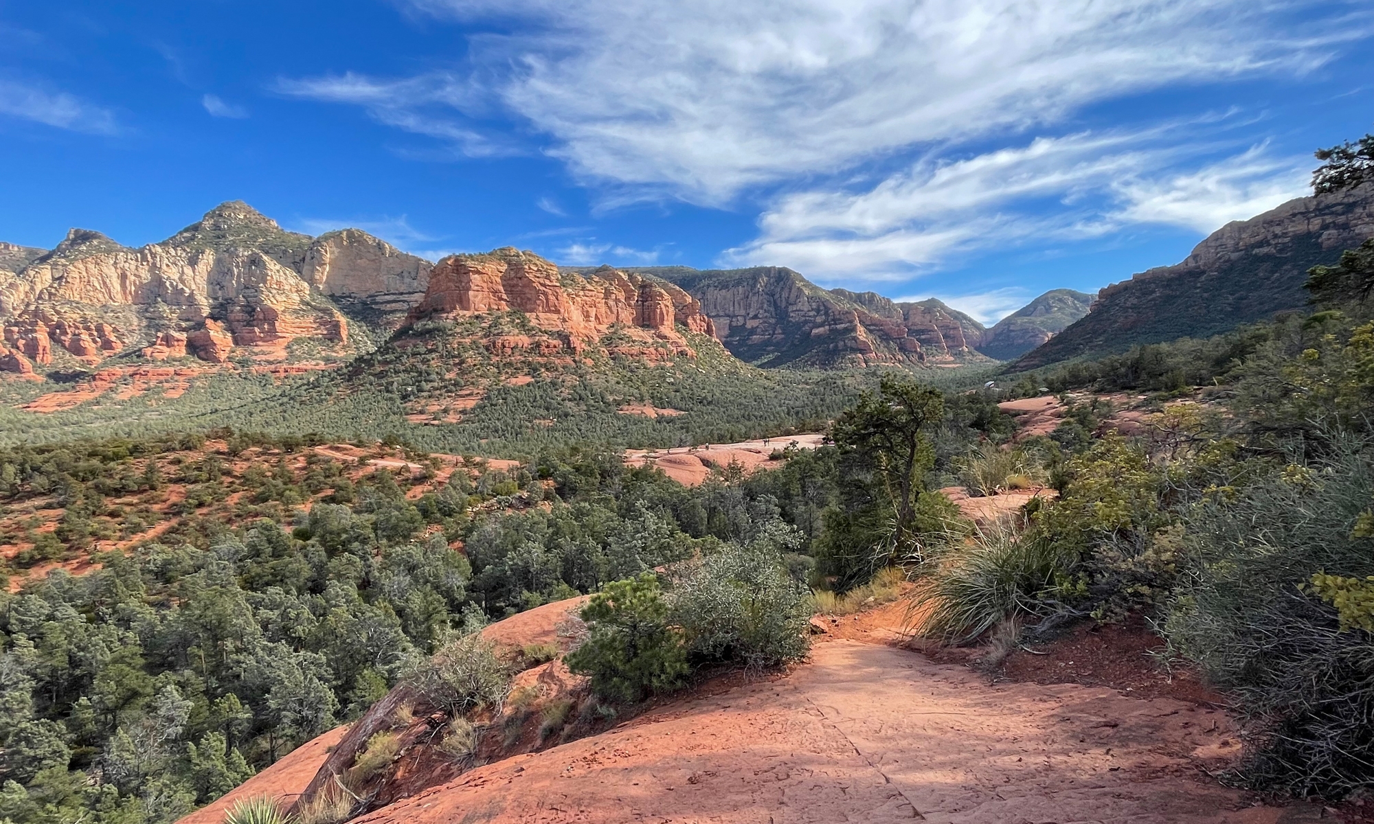
I’m a map girl. Always have been and always will be.
That’s not to say I don’t appreciate the convenience of a GPS (or Google maps via cell phone, which is sort of synonymous in my mind) telling you when to turn, but I definitely prefer plotting my course with a map.
I prefer paper maps, for that big-picture view, but nowadays tend to use a combination of paper and electronic maps when planning most trips.
I love DeLorme Gazetteer maps, but they don’t always have enough detail for my liking. They have far more detail than your standard road map, but nothing beats Google maps and being able to zoom in on stuff. Heck, when traveling through unfamiliar territory, I’ll even switch to Google Maps street view to see what the landscape looks like near most turns. That’s particularly helpful when traveling through states like West Virginia with road signs that use teeny-tiny print.

Or states like Virginia that use a unique combination of numbers and names to label roads, which aren’t always consistent between maps. And which can change when you cross from one county to the next.
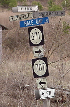
Or Pennsylvania, which seems to have the most roads without signage at all, at least in my experience.
I’ve been know to take a DeLorme Gazetteer or two to bed at night, fueling dreams of places to go, roads I haven’t traveled, and sights as yet unseen.
Map apps are good, too. I love my RoadsideAmerica app (thanks to Fuzzy the birthday girl for that one!).
And Spotwalla. Gotta love being able to track your route as you go, or follow someone else’s trip.
SpotWalla is a secure personal location manager that supports a wide range of satellite-based tracking devices from SPOT and DeLorme as well as any Android and iOS device running Bubbler GPS or SWConnect respectively.
Spotwalla is especially convenient when Hubby and/or I are traveling without the other. It’s so easy to just look at the Spotwalla map than have to rely on phone and/or text updates. I use SWConnect via my iPhone.
I like AmericaRidesMaps, too. I bought the Va Blue Ridge Parkway series early last year, before I knew I’d actually be riding down the BRP. I should have bought the nine-map Full Southeast Package. It’s well worth the money. (Lynne from CurvyRoads told me about a similar map publisher, but I forget the name. Maybe she’ll chime in with a comment and enlighten us.)
My favorite map software is MS Streets & Trips, but it has been discontinued. One of these days, I guess I’ll have to start using the GPS software Hubby keeps telling me to use. Sigh…
So there you have it.
The shortest and/or quickest route isn’t always the best route. Especially when exploring on two wheels.
Just for giggles, Google “Toadmama map” once. You’ll see far more maps than photos. LOL.
This Year’s Brave, Bold Bloggers…
Be sure to visit their blogs to see how each interpreted this challenge.
Plus it’s hard to throw a dart at the GPS without damaging it.
Richard, that’s true.
I use paper maps only: Atlas & Gazetteers when traveling by pavement; USGS 1:100 000 maps and National Geographic Trails Illustrated maps when I’m headed off road. I’m pleased to report that there’s still much area in the greater Rocky Mountains and in the deserts of the West that has no cell coverage. I did use GPS several years back on a business trip to the Bay Area and was especially grateful for it while in San Francisco (all those blasted one-way streets be damned).
Often before heading into the deserts of Utah and Nevada, I’ll augment my map research with Google’s satellite views: Many desert roads go unmaintained for years, even decades, and can become impassable for dunes, rock slides, and severe washouts; and old mine tailings usually are distinct in satellite views, though their access roads and trails (if there ever were any to speak of) may have long ago been reclaimed by the land. And where there are tailings, there often are treasures, tumbledown shacks, abandoned equipment, open mines, and ghosts—all good stuff.
Ry, sounds like a fabulous place to explore. I can see why you reply on paper maps.
I agree but… there are times I’ve gotten lost (e.g., Brooklyn) and a GPS was my savior. It’s why I spent $800 to put one on my new BMW motorcycle.
You must have really hated being lost in Brooklyn!
Being Lost in Brooklyn
A new, moody arthouse film not likely to be playing at a theater near you. It’s probably Wes Anderson’s latest effort. 😉
Ry, good story idea!
Ooh, better late than never!! The fav paper map for Motorcyclists, Butler maps! https://www.butlermaps.com/
They point out MC POIs, have off road info, highlight the twisty bits in red, yellow and orange, depending on how twisty, etc.
I like paper maps too, for the big picture, and identifying twisties, but google maps is the bomb for getting the real details.
That’s it, Butler. Hopefully I’ll remember that now.