So far this year, we’ve really neglected our bikes. We’ve both done short rides here and there, and Hubby has commuted by bike a few times, but for the most part our babies have sat unused.
It’s been a busy year. But we were both determined to get out at least once over the long, holiday weekend. And we did.

Here I am, right before suiting up in the gear. In warmer weather, I wear shorts under my riding pants. The soccer socks are great for riding as they don’t get “eaten” by my boots.
One of us should have checked the weather before we left. It definitely was NOT warm. The weather in these parts has been downright weird. I think Friday evening, temps dropped into the 40s. Saturday was nice, but very windy. Sunday was gorgeous, but still sort of cool. We’d though Monday was supposed to be warmer. And dry. We were wrong. But I’m getting ahead of myself.
In May 2012, Hubby and I set off on an overnight adventure, heading south and west into the mountains of West Virginia. If you’re a map nut like me, you can see the entire route.
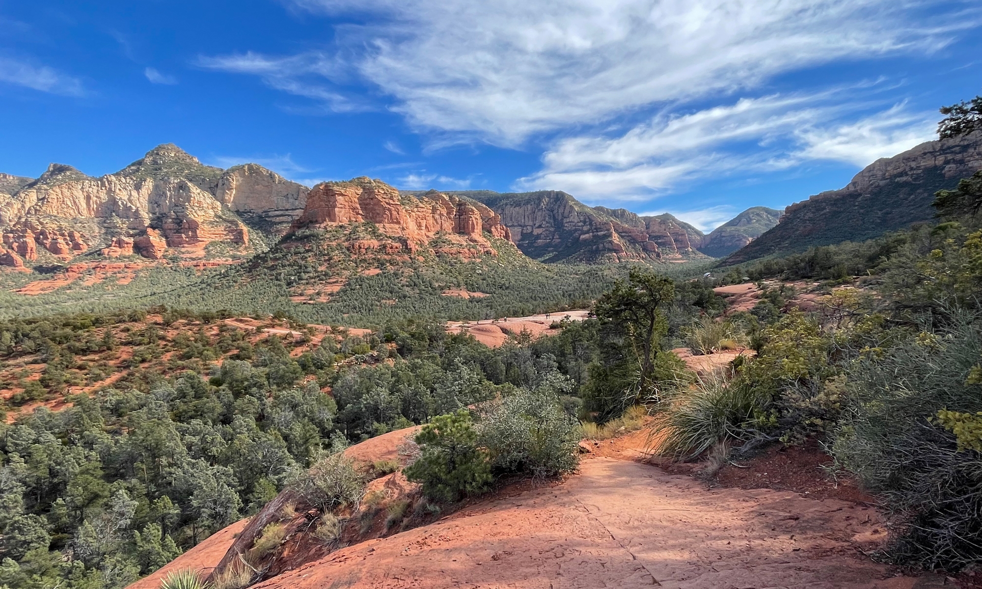
There was one piece of road in particular that we both really enjoyed. It’s a short stretch of US-33 NW of Harrisonburg, Virginia that is jam-packed with curves. How many curves? No idea. But it’s one of those roads with a “Motorcyclists Beware… High Crash Area Next 4 Miles” sign.
View May Motorcycle Adventure in a larger map
We promised each other we would one day revisit that spot, and yesterday we FINALLY did.
Unfortunately, it was a rather rainy day. Lucky for us, the rain had just barely begun when we got to that stretch of road I decided to dub Mike’s Favorite Road, aka the MFR.
I even remembered to take the GoPro (helmet cam) along. It was the first time I’d used it on my new helmet. Sadly, the angle was all wrong. You don’t get much scenery in the video, but you do see lots of cool road.
Those of you who don’t ride will probably be bored stiff by this video. My riding friends might not even make it all the way through. But I wanted to share it anyway. I’ll return once I get the angle of the GoPro corrected.
I added some music, too, because the engine and wind noise was boring. You may want to adjust your volume before you click play.
We headed north from Brandywine, West Virginia up through the South Branch Valley to Moorefield, West Virginia. Then we headed east through the mountains to home. It rained off and on pretty much the whole way. Never very hard, but often quite steady.

That’s a screen shot from my phone when we were getting close to home. I guess we should have checked the weather sooner.
It was still a great day. In all, we covered 233.5 miles over about a six-hour stretch of time. Had the weather been nicer, we would have lingered a bit.

You know what they say, though… a bad day on the motorcycle is better than a good day at the office.