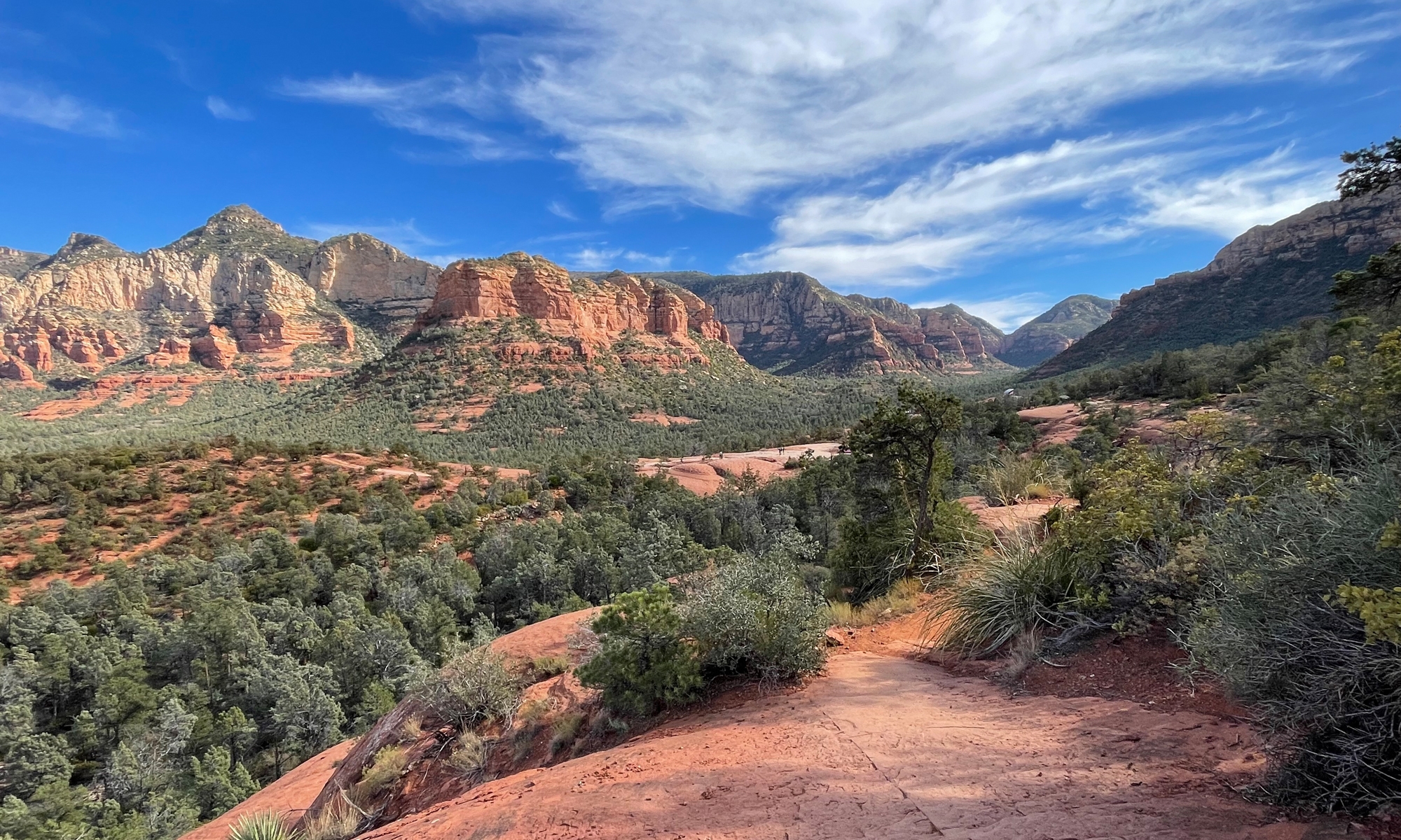
 I have yet to mention long-range weather forecasts and the impact they sometimes had on each day’s planning. A little bit of bad weather can be tolerated. Major storms, on the other hand, must be given serious consideration. That morning, as a major storm was bearing down on the area, I decided to plan ahead more than usual to find a good spot where I could hunker down for a few days. I’d thought Bryson City, where I’d spent the previous evening, might be a good spot. It was close to eateries, shops, and stuff, but the hotel was a bit further from things than I would’ve liked, and on a pretty steep hill.
After a bit of research, Maggie Valley is the spot I chose. I even booked a motel room for two nights. The motel I selected was close to several restaurants, shops, and other attractions, inexpensive, had great reviews, and a Mexican restaurant within easy walking distance. Not only would I not have to worry at day’s end about where I’d be sleeping, I would have a margarita to look forward to as well.
Although storms were expected to move in that evening, the weather was absolutely perfect that morning as I set off for the Nantahala River Gorge.
All of the previous images were captured along the relatively flat US-74/US-19 south of Bryson City. The next several images were captured along the hillier Wayah Road.

All of those scenery pics MIGHT make you think the road wasn’t very good. It was actually excellent.


The road was so nice, I sort of lost myself in thought. Before I knew it, the lovely river, with all its cascades and waterfalls was replaced by a beautiful little lake.
I think I might be happy living in Western North Carolina. Until tourist season hit every year. Which reminds me…
According to the National Park service…
Great Smoky Mountains National Park covers 522,427 acres, divided almost evenly between the states of North Carolina and Tennessee. [There were] more than 11.3 million recreational visits in 2016. (This figure does not include the approximately 11 million travelers on the Gatlingburg-Pigeon Forge Spur.) Highest visitation of any of the 59 national parks. The second most heavily visited national park is Grand Canyon with 4.6 million visits, third is Yosemite with 3.8 million, fourth is Yellowstone with 3.2 million.
That doesn’t include all of the motorcyclists who flock to the region or people who go there to visit other area attractions, like the many rivers and lakes, Dollywood, etc.
In other words, it can get crazy-busy. I was there during the off-season, which is why it looks so empty. I’d be willing to bet that, were I there in mid-July, the roads would be clogged with traffic. Overlooks/pull-offs would probably be so full, I’d be lucky to find a spot on the bike, much less in a car. There would be LOTS of loud-ass cruisers (I will never understand the appeal of that noise). In short, it is probably a place to avoid. Unless you like that sort of thing.
I stopped in Franklin for lunch. While I ate, I was looking at several route options, but decided to stick with my original plan. Unfortunately, I didn’t realize Google maps had “lost” my original plan until I was rather far rom where I was supposed to be.
Instead of backtracking the way I’d already traveled, I quickly selected an alternate route. That’s how I happened upon this.
In retrospect, I should have gone in. But the weather was too perfect to waste even a few minutes of ride time.


Getting to see downtown Sylva, albeit briefly, was a happy accident.
I finally got back to the section of Moonshiner 28 I’d meant to hit, but riding in the opposite direction than originally planned.
Holy cow was I glad I had decided to backtrack. The next images were all captured there…


But wait, there’s more!


There was a LOT of water flowing over that waterfall. I could not imagine why it was called Dry Falls.


The road was actually so nice, I repeated a large section of it “for Hubby” and then decided to continue with the route I’d originally planned, which took me into and through a section of the Pisgah National Forest, up to the Blue Ridge Parkway, and eventually to Maggie Valley.
As the road climbed toward the BRP, I started seeing flashes of pink. I HAD to stop for a closer look.


That last shot makes it east to understand where the “Great Smoky Mountains” and “Blue Ridge” labels came from, eh?
I was exhausted by the time I reach my motel in Maggie Valley. And delighted to reach the Mexican restaurant I’d read about and enjoy the margarita I’d been thinking about, off and on, the entire day.


