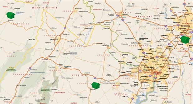
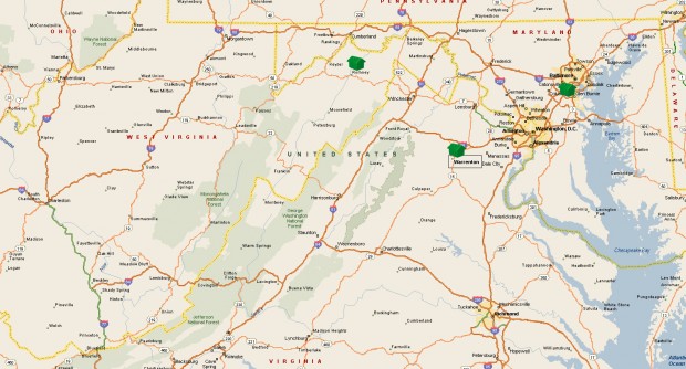
To help you get a better idea of our location, I created a map. Have a look…

If you click on the map, you’ll get a larger view.
The little green house in the upper left-hand corner represents the WV place. It’s the most-remote of the three.
The house near the upper right is the old MD place. It was closer to Baltimore than to DC, but it was all just one big metropolitan area.
The house on the lower, middle section of the map is the VA place. We’re about the same distance from DC, only in the other direction. It might be just a tad further. But not by much.
It remains to be seen how easy/difficult it is to drive into the city. We’ll be approaching from the southwest instead of northeast, so we’ll have to drive through more of the city to get to Union Station and the Mall area.

Not that we ever went into the city all that much.
Looking at my wider view map, perhaps you can better understand why we feel so much less like we’re smack in the middle of chaos and mayhem.
Yes, we’re further from the Chesapeake Bay. We didn’t spend much time there anyway. But look how much closer we are to the Shenandoah National Park (SNP).
Heck, US-211, one of the SNP gateway roads, runs right through Warrenton. So it’s hard to get lost between here and there.
In the Fall, SNP is a very popular destination. As the SNP web site explains, “Shenandoah National Park is 105 miles long stretching from Front Royal, Virginia to the Waynesboro-Charlottesville area. Skyline Drive is the scenic roadway that takes you through the park.” Color in the higher elevations along the drive is quickly approaching peak. So if you’d like to catch nature’s display this year, you’d better hurry!
If you’re feeling even more adventurous, the Blue Ridge Parkway starts in Waynesboro, VA, which is only about 90 miles from the VA place. Or about a two-hour drive.
Whether you prefer measuring in miles or drive time, either way isn’t far.
In fact, it’s so close, I could probably take the afternoon off (if I didn’t have lots of work to do) to go see the leaves.
Cool!
I’ll have to keep that in mind for next year.
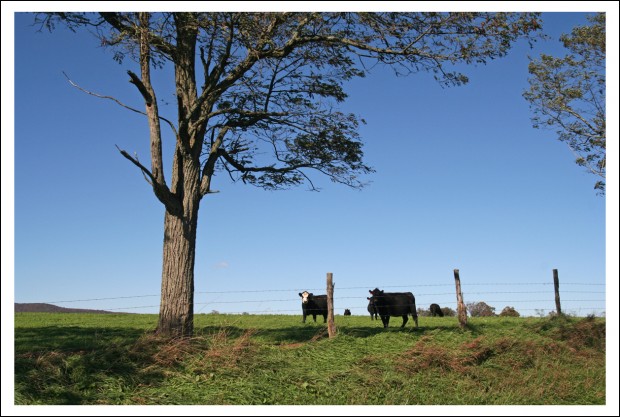
Speaking of leaves… as I mentioned yesterday, things are getting pretty colorful in West Virginia. Here’s one of my favorite shots from the day.

Yes, I realize there aren’t many leaves in that shot. But you can’t say it isn’t colorful!

When you were talking about driving to DC and you said “so we’ll have to drive through more of the city to get to Union Station and the Mall area,” I thought for sure there was going to be some exciting news related to DC coming right after. Nope! 🙂
Get in an afternoon of leaf viewing soon. And would you mind maybe looking at them extra hard, so you’re viewing for the both of us? Fall is my favorite season, but it doesn’t really happen in SoCal…
Sorry to disappoint on the DC front. Maybe this winter we’ll venture into the big city. I’ll be sure to look long and hard at the leaves changing so I can take in enough for both of us!