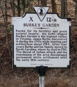
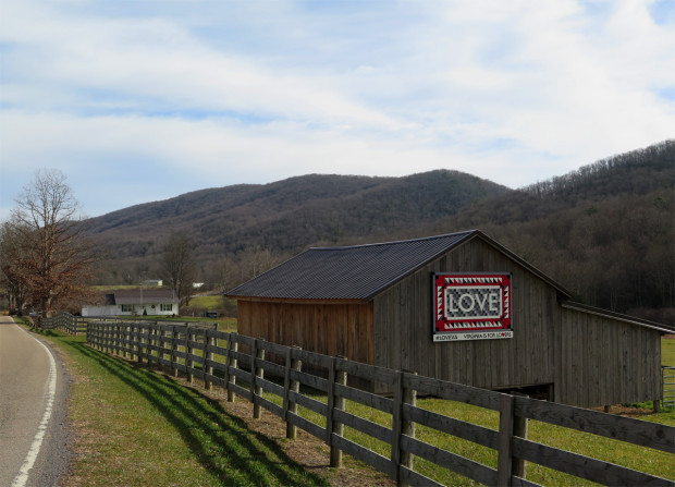
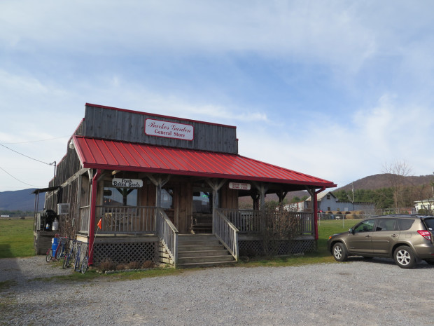
 Hubby and I ended up in the coolest place while looking for the LOVEwork listed as being in Tazewell, which is really in Burke’s Garden, about 15 miles east of Tazewell.
The Garden, as residents call it, isn’t just a town, it’s a mountain valley (the highest mountain valley in Virginia at about 3,000 feet or 915 m above sea level) surrounded by one very large mountain. How does a valley get surrounded by one mountain? According to geologists, the mountain, mostly composed of limestone with a sandstone cap, was once 6,500 feet (1,981 m) tall. Over time, the center of the sandstone cap eroded, exposing the softer, underlying limestone to the weather. Then, as the limestone eroded, the mountain basically collapsed. The softer rock formed the valley, while the edges of the cap formed ridges.
It doesn’t sound like a huge deal until you see it from above, as shown in this aerial photo from Lost World Ranch (located in Burke’s Garden, the ranch raises Bactrian Camels and Llamas). The ranch has an interesting history piece on the Garden if you’re interested.
There’s also a good article from Virginia Living on Burke’s Garden, which reads…
…Burke’s Garden is a beautiful land that, to a certain degree, time forgot. The place is completely off the grid of modern life: There is no newspaper delivery in the town, and no cable television; no stoplights and no working post office. And no cell phone service. Many of the residents are retired, a few of them farm, and lots drive out to work in nearby towns, constantly challenged by often-sketchy road conditions leading in and out of Burke’s Garden.
Not only did they have my new favorite LOVEwork, there were also quite a few barn quilts, interesting road signs, and plenty of beautiful scenery.
Here are my favorite captures from the Garden.
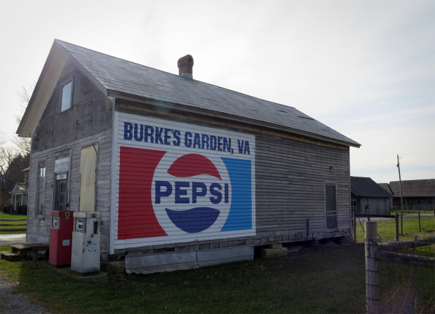
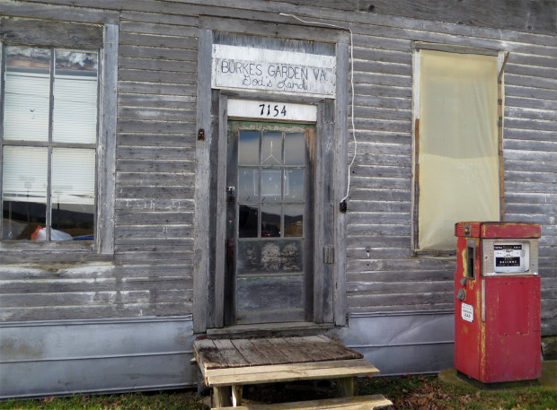
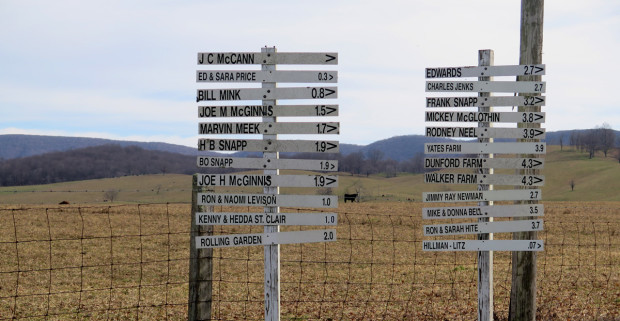
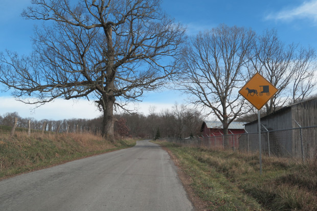
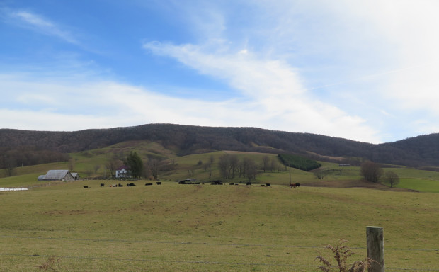
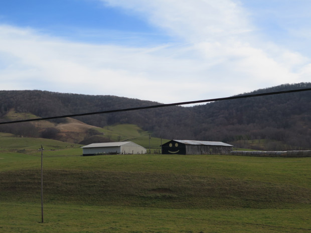
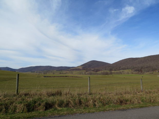
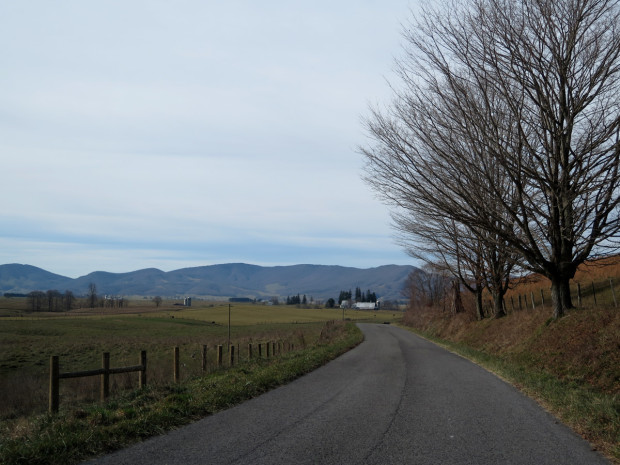
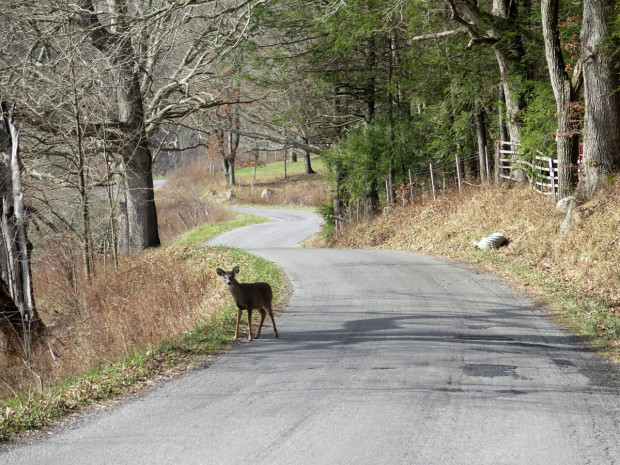
We happened upon that little gal, who didn’t want to give up the road. We followed her slowly as she trotted along, finally exiting to the left after rounding that far bend in the background.
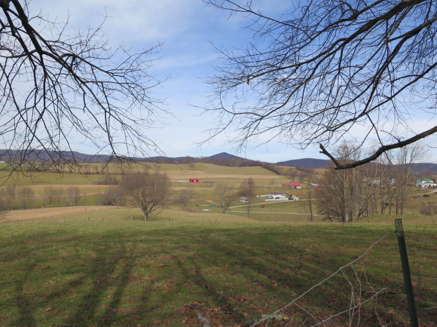
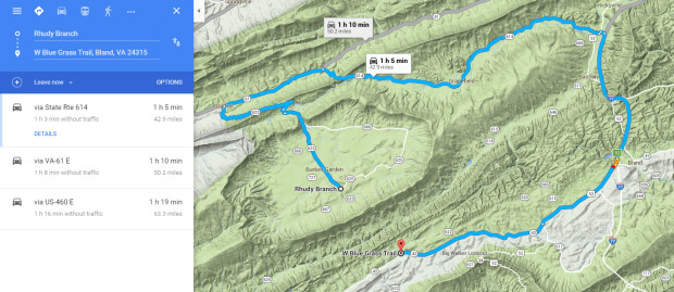
When I mapped the route, which Hubby later put into his GPS, I had intended for us to enter the valley from the north and exit on a very curvy road to the south. The GPS software apparently didn’t like that idea, and made us turn left, looping around the Burke’s Garden valley instead. It was a lucky detour that gave us the opportunity to see more of the lovely place. But I wanted to take the curvy route out of the valley.
Burke’s Garden isn’t an easy place to reach. The route into the valley from the north is the only paved road. Hubby had apparently had the mapping software set to avoid gravel roads when he entered the route.
Google Maps doesn’t like the curvy gravel road either. It wanted to send me along the loop shown.
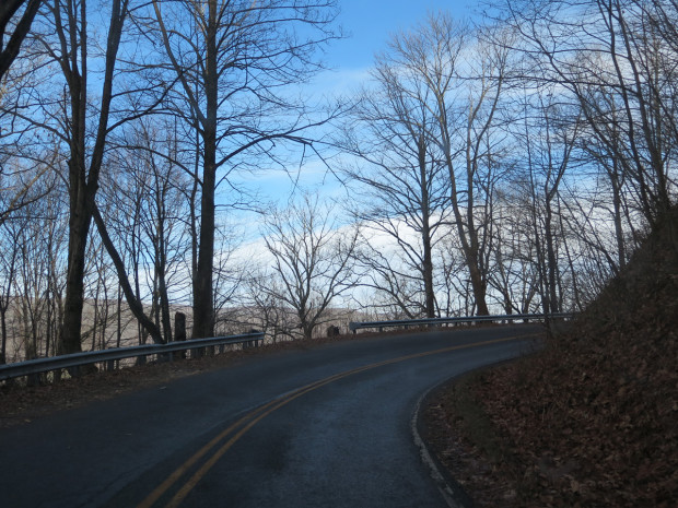
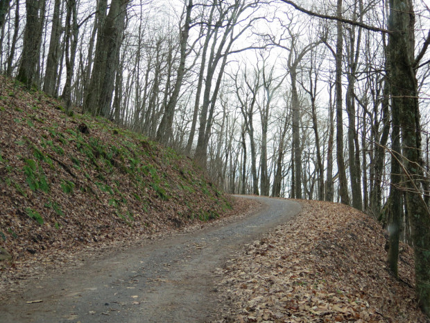
Yes, the road was as narrow, steep, and curvy as it looks.
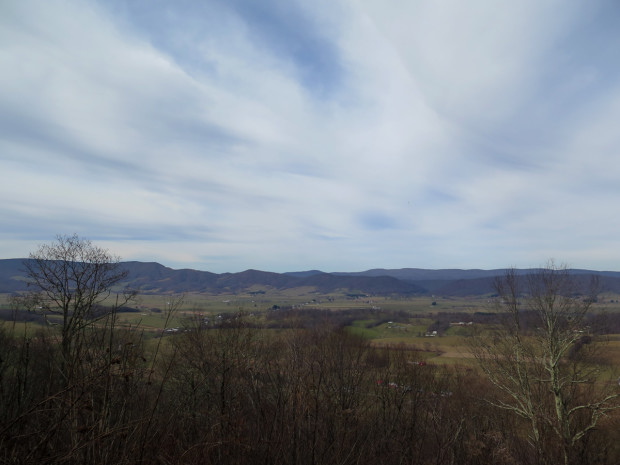
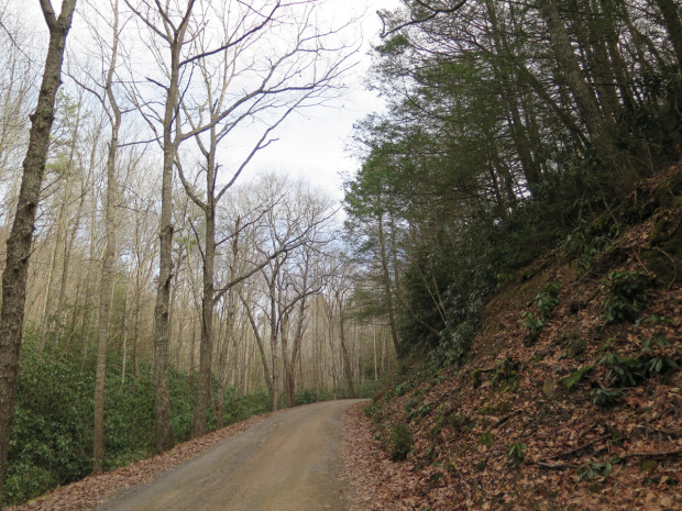
Hubby and I were divided on whether or not we’d want to revisit the road in the Spring. I’d love to see the rhododendron in bloom, but that’s definitely NOT a road for his big Victory. There are quite a few very tight turns and even a few hairpins, all very narrow.
If any of you would like to visit Burke’s Garden, I recommend driving in from the north. The southern portion can be treacherous during Winter, with icy patches lingering into late Spring. Followed by mud. It took us about an hour to cover the 10 or so miles (~16 km) of gravel road, not because conditions were bad, but because we were enjoying the scenery. 🙂
It’s definitely a nice place to visit and is well worth the trip if you like pretty scenery. And especially if you like barn quilts.
