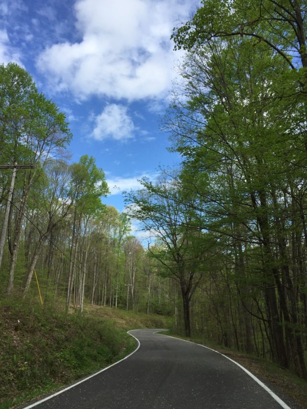
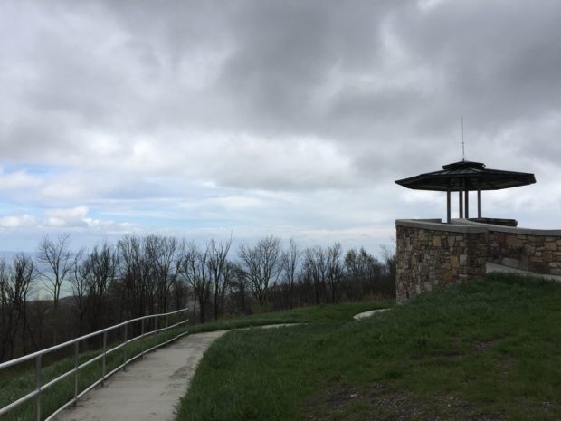
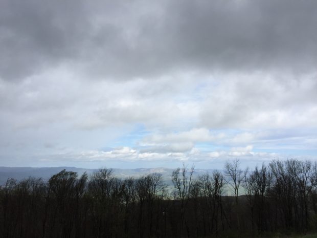
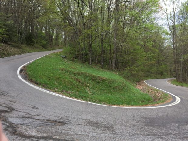
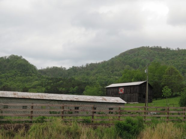
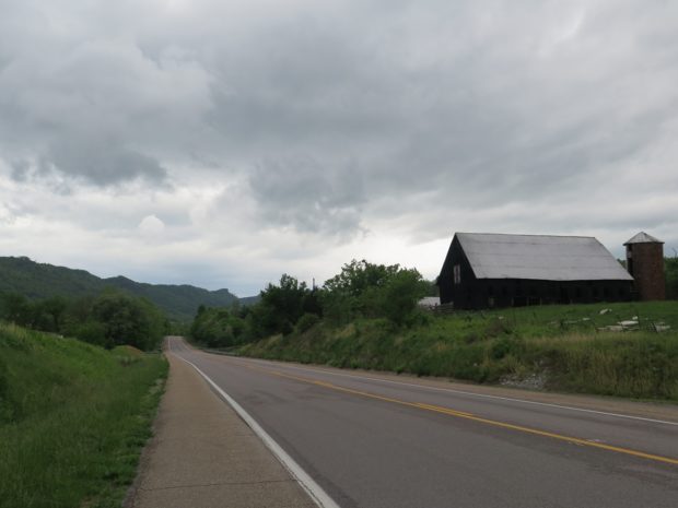
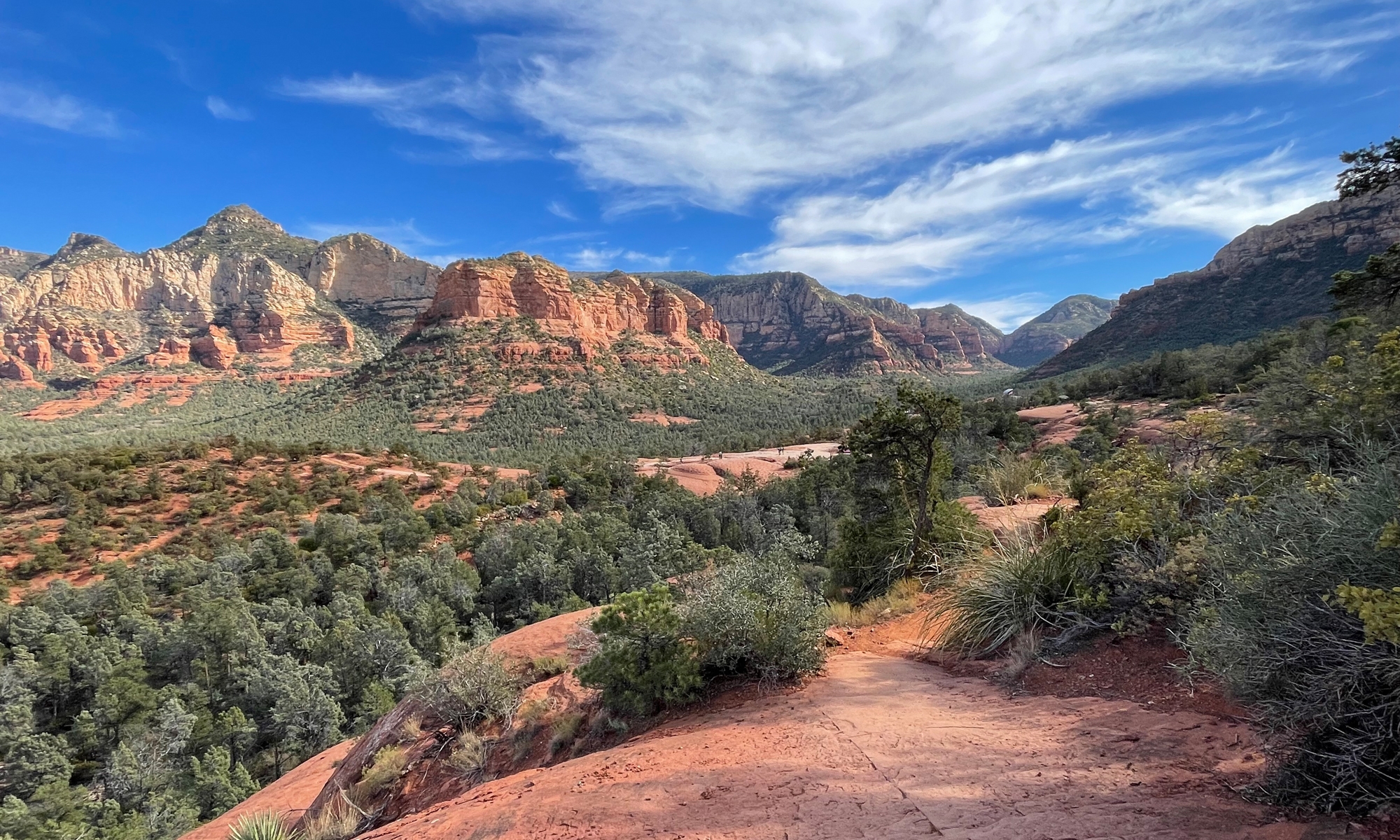
I am now a Dragon Master.That’s what they call folks who have ridden Virginia’s Back of the Dragon, a sweet 30+-mile stretch of road that crosses three mountains between Marion and Tazewell, Virginia.
It’s the sort of route motorcyclists like me daydream about. Here’s a Google Maps link of the location.
We started at the southern end on VA-16 outside of Marion, VA, just north of US-11, and rode north.
I ended up with about 42 minutes of video, which I edited down to this video, which is just under 10 minutes long.
There’s music, so check your volume before clicking PLAY.
Do let me know if you enjoyed the virtual ride-along.
It always amuses me when, after a motorcycle trip, people ask, “Where did you go?” It’s not the asking, it’s the look I get when I answer with something like, “Nowhere, really.” Or, as in the case with our last trip, “Just west and south through Virginia and into West Virginia.”
It’s non-riders I speak of. Riders, who’ve heard tales of the roads and terrain in those areas, get it. Most non-riders don’t.
Sometimes I do use the bike to get from point A to point B. But usually I ride just for the sake of riding.
Most trip planning involves a bit of research. And maps, definitely maps. I also use Web sites — Motorcycle Roads is one of my favorites — blogs, magazine articles, RoadsideAmerica.com, and even my memory.
Some roads are magnets for motorcyclists. They’re infamous among the riding community, having gained such a reputation over the years that most motorcyclists have either been there already or want to go there. Like the Beartooth Highway that traverses the Montana/Wyoming border, just northwest of Yellowstone National Park. Or Deal’s Gap aka “The Dragon,” an 11-mile stretch of road with 318 curves at the Tennessee/North Carolina border.
Neither of those are close to Central Virginia. Skyline Drive and the Blue Ridge Parkway are pretty famous, but I find those roads, particularly the strictly enforced, low speed limits and crowds, tiresome at times. Especially when the foothills are criss-crossed by roads that are just as sweet and curvy, but FAR less populated with cars, trucks, RVs, SUVs, and even big-ass pokey motorcycles.
For our latest adventure, I wanted to go to the mountains. I thought about heading up and into western West Virginia to see Prabhupada‘s Palace of Gold, but I knew Hubby would be less than thrilled by the place and wouldn’t want to linger as I would have. Plus, I knew our ride time on Friday evening would be limited. So I started looking west. Then I realized we’d been on many of those roads before. Why do repeat roads when there are so many new routes to discover?
That’s when I remembered the Back of the Dragon. I’d read about Virginia’s version of that more-distant, infamous Dragon several times. I found it on the map, noted the vast mountainous terrain between it and our home, then plotted the routes.
That route may not look all that exciting, but it took us west on US-211 and across Thornton Gap and the New Market Gap. Originally, I’d planned on using US-11 for the last leg of the trip. But, since we started out much later than anticipated thanks to work commitments, we got on I-81 at New Market instead to shave-off some time, and made it safely to Staunton, Virginia around 9:00 PM. Since we were both tired and famished, we opted for a quick fast-food dinner and then went to bed.
Saturday morning dawned cool, bright, and clear. After a quick Hardee’s breakfast, and a re-check of the map, we were on our way.
As you can see on my map, we didn’t take the direct route. Instead, I’d chosen some promising-looking back roads through parts of the George Washington National Forest and Jefferson National Forest.
I picked well.
Virginia 42 made for a fabulous ride. We did encounter some stretches of gravel, thanks to recent road work, which is always annoying, but the good pieces made the gravel bits worth it.
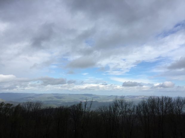
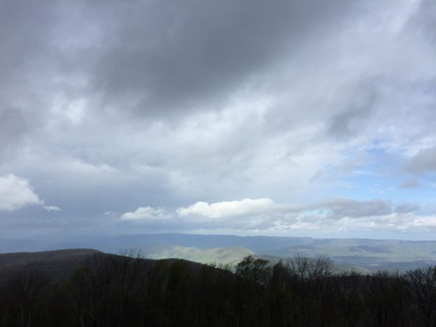
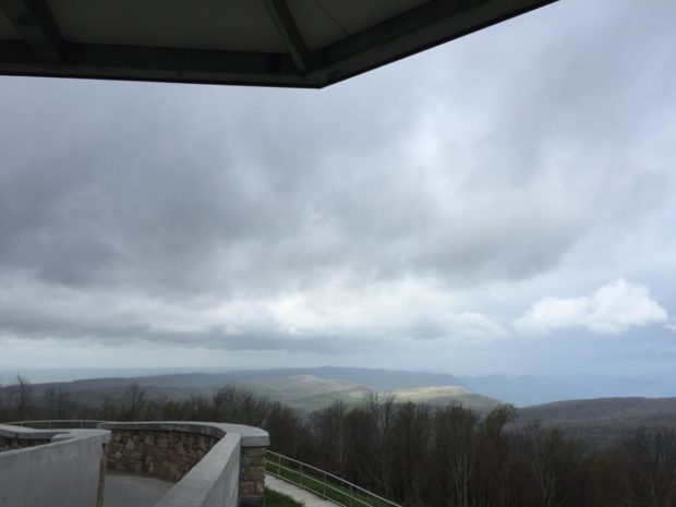
We emerged from the forest around Bland, Virginia. Hubby, who was leading, consulted his GPS and found a hilltop restaurant. Or what once used to be a restaurant, as we discovered upon arrival. But the parking lot had a few oddities and a nice-enough view and I wasn’t complaining.
There was a very busy Dairy Queen at the base of the hill. It was just off of I-77, which I guess was the reason for the crowds.
After lunch, we continued on VA-42 briefly then hopped onto a VERY sweet stretch of US-52. Curvy, hilly, smooth, and newly-resurfaced. It doesn’t get much better. Except there’s a popular overlook, which we avoided since it was crawling with people and bikes, so traffic was the heaviest we’d encountered up to that point. Not heavy by urban standards, just more cars than we liked to see.
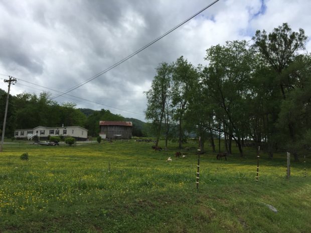
The final leg over and down to US-11 and Marion was uneventful. Although I must say, we saw a higher concentration of mobile home communities than either of us had EVER seen before!
The Web site describes it as a “two lane ribbon over the three mountains between Tazewell and Marion, Virginia.”
Is it worth the hype? Absolutely.
The Back of the Dragon is almost three times longer than its southern cousin, and the curves aren’t as densely packed, but it is a great road. It hasn’t quite caught on among motorcyclists yet, which is fine by me. There was very little traffic of any sort. We didn’t see one law enforcement vehicle either.
I shot a video, but it needs to be edited down before sharing. The raw footage is about 30 minutes long. Or more.
We were both feeling tired by that point, but still had about 35 miles to cover between Tazewell, VA, where we’d stopped for a break, and our hotel. We were both getting hungry. And, if I’m being honest, I REALLY wanted a margarita. So we pushed on.
As much as I hate chain restaurants, the last thing we wanted to do after a long day in the saddle was get back on the bikes to ride for dinner. We opted instead for Applebee’s, one of several chains within walking distance that easily won out over Bob Evans and Cracker Barrel since neither of those serve alcohol. I told you I wanted a margarita.
Hubby and I returned early yesterday evening from a two-day jaunt west and south through Virginia into West Virginia.
The weather was close-to-perfect, the roads were amazing, and the scenery was breathtaking. Oh, and the travel-planning gods smiled upon us by seeing both of our hotels were within easy walking distance of a…
For those of you not familiar with Hardee’s, here’s a pic of their breakfast menu. Hubby thinks it’s weird that I take pictures of stuff like this. But I did it for you.
You know how I love their breakfast biscuits. If it’s possible, that husband of mine loves them even more than I do. We are both such food connoisseurs. LOL.
We left Friday evening, an hour and 45 minutes later than planned. My job was the reason for that delay. It wasn’t a huge deal, but did mean we had to ride staring into the setting sun for about half of our two-hour journey (we ended up in Staunton, Virginia for the night).
I have lots of pics and video to cull through. For now, I’ll leave you with this one helmet cam capture.
Believe it or not, the name of that road is the Cowpasture River Highway. Serendipitous, eh?
Despite not having visited or captured pictures of myself with any roadside oddities, we had a fabulous time.
I’ll share more with you later. Once I’ve had a chance to look back over all of the images I captured to share with y’all.
Now that I’ve told you all about and shared pics from my recent road trip to the Shenandoah Caverns complex in Quicksburg, Virginia, I figure it’s about time that I tell you about the ride.
After all, destinations aren’t usually the reason we go for rides. The ride itself is usually the motivation. Fun destinations/stops are icing on the proverbial cake.
My recent trip was no exception. I kid you not, it started out with my wanting to get some breakfast. Soon enough it morphed into a 144-mile loop ride through some downright pretty country. (Wanna see the Google map?)
I’ll never forget seeing this sign for the first time. It was actually near the highest point of the road through the gap. It unnerved me a bit, but we didn’t have any trouble.
US-211 is an old road. It wasn’t built for speed. The curves can be a bit challenging, especially if you aren’t anticipating the radius to change mid-curve like it does on several of the turns.
It still tickles me to know we’re so close to SNP, home of Skyline Drive. Among other things. Skyline Drive is a pretty road, but it has a 35 m.p.h. speed limit, which is hard to maintain. It can sometimes be crowded, too, so I don’t use the drive often. There are plenty of other great roads in the vicinity, though.
I took a sorta direct route from Luray, where I ate breakfast, to Quicksburg, which is where the Shenandoah Caverns complex is located.
Since I had actually remembered to charge the GoPro, I wore it. I used some of the pics captured along the way to create a slideshow, shared later in this post. I didn’t include the piece of US-211 that crosses Thornton Gap and Skyline Drive since I’ve shared that road several times previously. (If you REALLY want to see that road, click on this video link and jump to the 2:00 mark.)
But first… here are a few other pics I wanted to share.
It was starting to sprinkle a bit as I got close to Edinburg, VA on US-11. And the sky to the east, which of course is where I was headed, looked quite ominous.
When I saw this fishing shop, which is owned in part by a guy who fostered our first dog, I decided to stop and pay him a visit.
I JUST missed seeing the guy, of course. But, by the time I got back outside, it had stopped raining. A quick check of the radar (what did we EVER do before mobile phone weather apps?) led me to believe I’d be following the storm. And since it was quite warm and humid, I opted not to don the rain gear.
Sounds like a sure way to get wet, right? I actually got very lucky and, quite literally, followed the storm most of the way home. The 10-degree temperature change in the wake of the storm felt delightful.
Fort Valley is a geographically interesting place. As the terrain map shared below shows, it is a valley within a valley. The wider Shenandoah Valley includes the Massanutten Mountain range (between the north and south forks of the Shenandoah River). Fort Valley is a valley within the Massanutten Mountain range.
I think it looks cool on the terrain map. We actually considered living there at one point. It’s really very picturesque. But there’s no wired Internet access, which we need, and we didn’t like the fact that there are only two ways to get into or out of the valley by road, either at Edinburg Gap on the southwestern side or at the northeast head of the valley.
After exiting at the valley’s north end, I headed east toward US-340. I did not expect to see this as I traversed the mountain…
Slave quarters, circa mid-1800s, at Ben Venue, Virginia. If you would like to read more about the property, click here.
And, finally, that slideshow I promised you. There’s music, and it isn’t great, so you may want to hit that ole mute button before you watch.
The first nine slides are on US-211 heading west from Warrenton, VA. The rest of the slides are between Quicksburg (Shenandoah Caverns) and the Elizabeth Furnace Recreation Area on Fort Valley Road (678).
Weather-permitting, we’ll probably do some two-wheeled exploring this weekend. Exploring which is LONG overdue.
If you’ve been following my last few posts, you’ll know this is a continuation of my recent fun visit to the Shenandoah Caverns complex in Quicksburg, Virginia. If you haven’t been reading my blog recently, be sure to see the previous post when you are through here. Assuming you enjoyed this post, of course. The post before that one describes my trip to the caverns and introduces you to the giant frog mentioned later in this post.
Anyway, continuing the visit story…
Once I’d finished immersing myself in parade relics at the American Celebration on Parade (ACOP) building, I went back across the road to see The Yellow Barn at Shenandoah Caverns. I’d only planned on visiting the parade building, but how could I NOT investigate the big yellow barn with a giant frog in out front?
According to the Web site, The Yellow Barn (TYB) is Shenandoah Valley’s “…newest attraction and entertainment venue. It offers visitors a whimsical look at our agricultural heritage and rural life with historical displays that include restored antique farm wagons, equipment, carriages and vehicles.” That sort of makes it sound like it was built for that purpose. But you want to know what I think? I strongly suspect it was built to house the overflow from the owner’s super-cool collection of parade artifacts. Calling it an “entertainment venue” justifies its existence. Not that there’s anything wrong with that…
Where ACOP was on the dark side, lighting-wise, and crammed full of some things that could maybe scare little ones (if they’re the gentler sort who are creeped-out by clowns, Santa, the Easter Bunny, etc.), TYB is bright, airy, and jammed pack with cuteness.
TYB’s Web site summarizes the building’s contents as such:
Exhibits ranging from a 25-foot-long tobacco press to horse drawn wagons to early 20th-century tractors to a Model T Depot Hack once used to pick up passengers at the railroad station fill the 15,000-square-foot space. A 35-foot-tall treehouse sits inside one end of the building and is home to a family of five-foot-tall squirrels.
I guess you could call the exhibits educational. I just call them delightful.
After passing through the building’s lobby and entering the exhibit hall, I was amazed by the sheer volume of stuff displayed.
My cuteometer must have been firing because the first centerpiece exhibit I was drawn to was that squirrel treehouse mentioned above.
Just like at the ACOP building, I had to take my time and really look to see all of the delights tucked around the building.
Speaking of bees… this guy was there, too.
I thought he looked a bit creepy. All I could think of when I saw him was that movie, The Fly, with Jeff Goldblum.
There was a real beehive, too. I even captured a video for you. It’s very short, and might make you feel a bit buggy.
There were some cool ants, too.
Here are some cute donkeys.
Do you see a face when you look at this tractor?
And that’s what I saw inside of The Yellow Barn.
Do you love the squirrelly treehouse as much as I did?
Quite a few folks that see my varied posts and ride pics remark that I find the oddest stuff. It’s true, I do.
But odd in a good way, I think.
Some are appalled by the creepiness of some of my pics. Like this one…
And this one…
Others are weirded out by my photobomb-like selfies.
But I’ve never found clowns to be creepy. Or elves. I just think they’re fun. Same goes for photo-bombing my own pics. LOL.
Some people don’t understand why I bother to capture these oddities. A moto-blogger pal, Darlene (aka Princess Scooterpie), who lives on Vancouver Island in Bristish Columbia, Canada, captured it well in a recent post on her blog:
“I love it when I am out riding and spot something that catches my attention and makes me pull a u-turn and go back and look, I am more apt to do this on the bike  than when I am in the car.  I think blogging has a lot to do with this, we bloggers are always looking for the eclectic, interesting and appealing blog subjects.”
It’s true. Imagine how dull my blog posts would be if I just said something like, “I did about 150 miles, ate breakfast, and saw this cool collection of parade stuff.”
Really.
“Oh the things you can find if you don’t stay behind!”
— Dr. Seuss
My recent visit to American Celebration on Parade. To me, anyway. I’ve known vaguely of the place’s existence for years. So I didn’t do much research before going beyond finding the address. Which somehow made it even better. Because I didn’t know exactly what to expect. I was imagining a bunch of sorta tacky, old, parade floats crammed into an empty lot behind the caverns. Like an afterthought. Something you’d see on American Pickers perhaps.
Boy, was I ever wrong. The collection is housed in a huge, nicely landscaped modern building. The clown is one of only a few statues on the outside. The Statue of Liberty is another.
And when you go inside, this is what you see, seated atop the ticket booth.
The $10 admission fee was a small price to pay for the delight I felt while visiting this place. Of course, if I were traveling with a group, that could add up. But I was alone, and I literally had the place to myself. Other than the staffers, I was the only person there.
As I entered the exhibit hall, I couldn’t help but laugh out loud. I felt like I’d stepped into Wonka land.
There are signs like this one by all of the floats.
That genie is 30 feet tall and 47 feet wide!
I didn’t care as much about the history or the stats/dimensions. I was just enjoying the sheer creativity of the pieces. The saturation of color. The variety and amount of fun stuff squeezed into this building.
Really. How can you not smile seeing all these treasured bits of Americana lovingly housed and maintained under one roof for people like me to admire?
Some of you won’t get it. But that’s okay. I do.
Rather than overwhelm you with words, I’m just going to share some pics.
Okay, maybe a lot of pics. But I couldn’t help myself.
What tickled me even more than all of the complete floats were the miscellaneous items tucked into nooks and crannies. Like any collector, this guy has pieces you just know he loves so much that they have to be displayed somewhere. Anywhere.
The guy must really like frogs. 🙂
This last one reminded me first of the Josie West doll I had as a kid. Second, I swear it’s my cousin, Shannon, immortalized as a parade participant.
So there you have it. Wasn’t that fun?
Remember the giant frog? He’s at a completely separate building, The Yellow Barn, which I’ll share pics from in my next post.