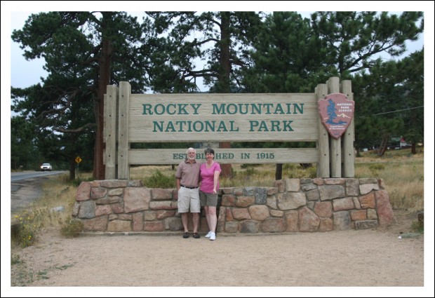
Trail Ridge Road cuts across Rocky Mountain National Park. The highest point on the road is 12,183 feet. In the picture below, you can see the height of the snow stick. They put those along the roads so the plow-drivers can find the side of the road. When snow sticks are that tall, you know they get a LOT of snow.
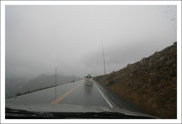
After successfully traversing Trail Ridge Road, we headed south. We drove through Winter Park, Colorado, which was nice to see. Then we crossed another high pass on our way to Interstate 70. I must say, I-70 in Colorado and Utah is MUCH more scenic than I-70 in Maryland.
We passed quite a few other big-name ski resorts, too (Breckenridge, Copper Mountain, Aspen, and Keystone, to name a few). We even stopped for lunch in Vail. That may sound fancy, but we only ate at Subway. We still had a long way to go.
The rain stopped shortly after Vail, but the clouds lingered as we passed through Glenwood Canyon, which is supposed to be the most picturesque section of interstate in the country.
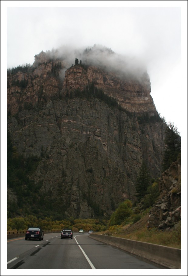
Shortly after that, the sky began to clear and the landscape started changing.
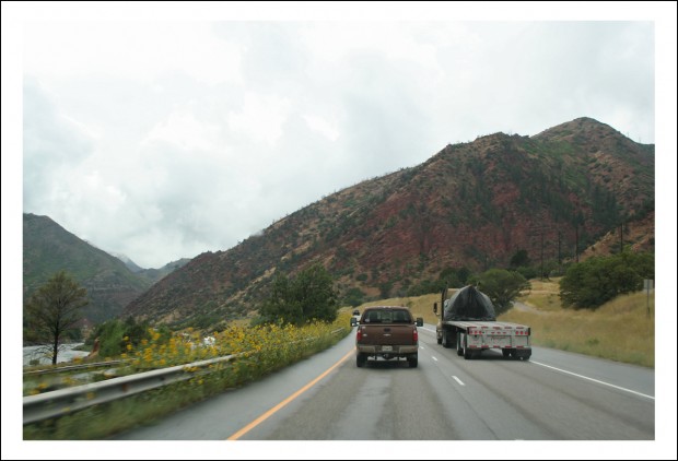
We continued heading south and west toward Utah, which was our ultimate destination.
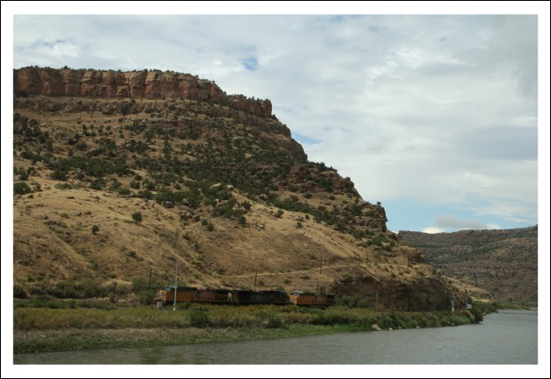
The further south and west we traveled, the clearer the skies became, and the more desert-like the terrain.
Before heading into Utah, we had one final stop in Colorado near Grand Junction… the Colorado National Monument.
Honestly, neither Annelies nor I knew much about this place. But we’re all national park fans. We knew we’d be passing close by, so we thought we should pop in. And boy are we ever glad we did.
You want to see some amazing scenery? All of the following images were shot there.
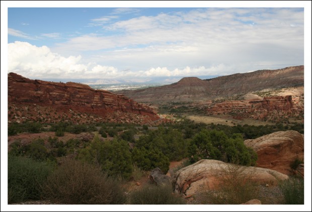
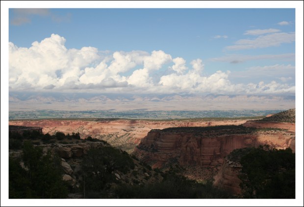
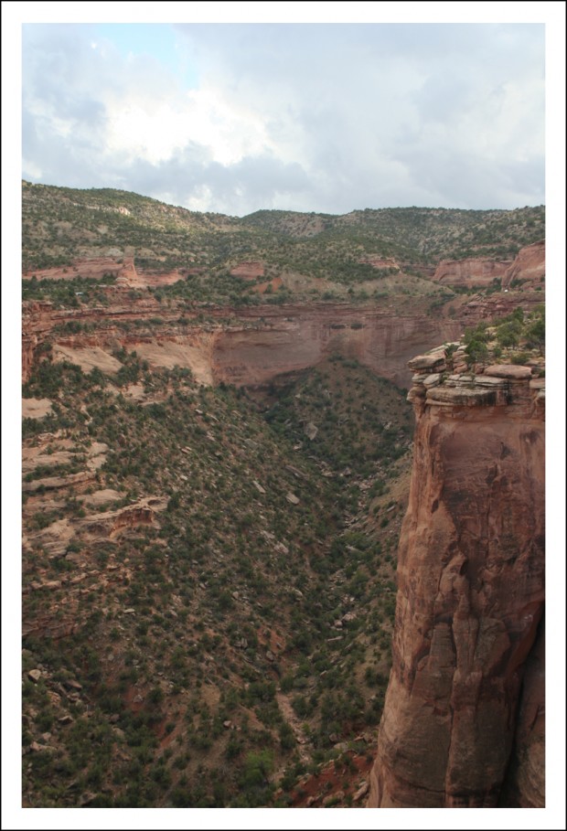
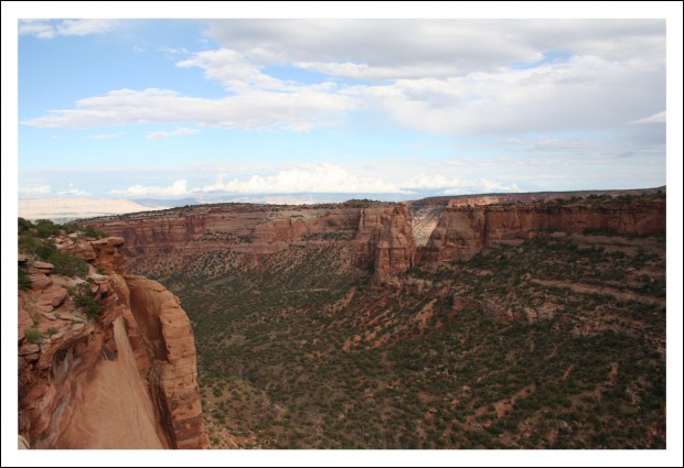
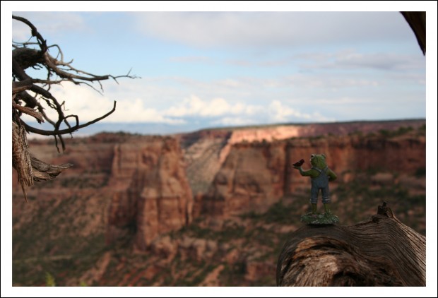
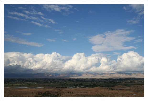
It was breathtaking.
All that rain we drove through made for some pretty dramatic skies.
As gorgeous as it was, we couldn’t linger long. We still had to get to Utah.
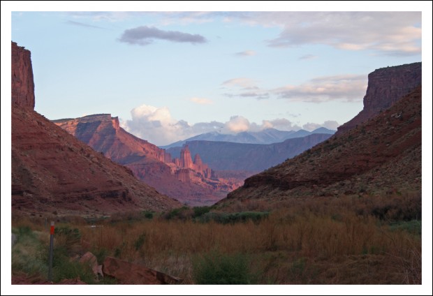
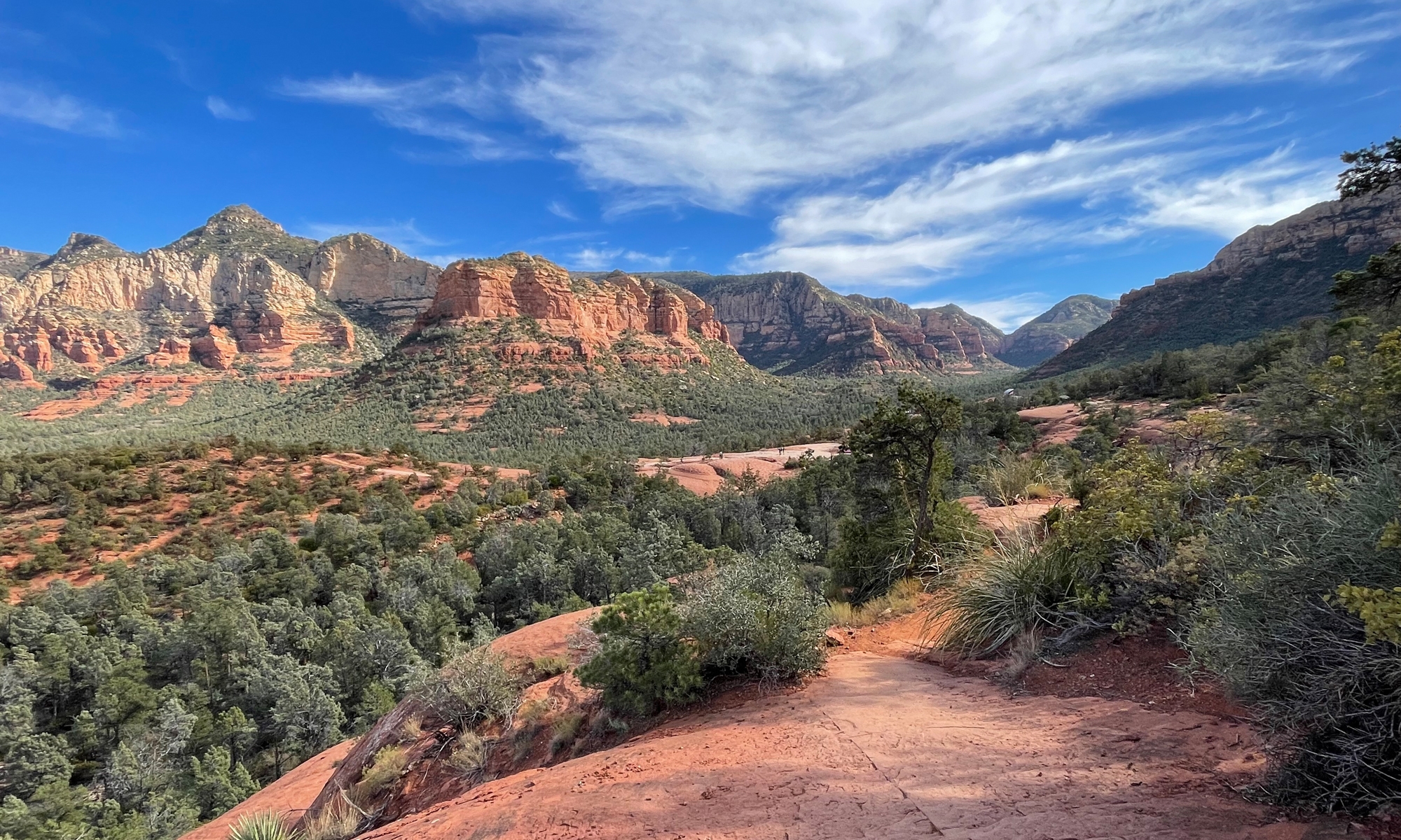
Once we got to Utah, we were all completely blown away by the scenery. The image above is just one of the shots I captured en route to Moab, which is where Arches National Park is located.
Pics from there will have to wait until tomorrow. Those shots make the ones you see here look dull by comparison.
Stay tuned…
The third picture of I70 through Glenwood Canyon (the one with all the fog) is pretty cool.
Colorado National Monument looks a bit like the Grand Canyon to me. And that last shot from there with all the clouds looks insanely great.
Can’t wait to see your Arches pics! Hopefully you won’t get caught in the Valley of Pain and Gritty Tears (as Amy and I dubbed it) during a sandstorm so that you get better images than I was able to get. 🙂
Tell everyone I said hi!