Lucky for us, by the time we’d finished breakfast and packed up all of our stuff, the fog had cleared. The sun was out, too. It was quite a refreshing change.
I’ll do a more-thorough trip report once we get home and I can use a full-sized computer with good photo editing software. For now, some highlights to tantalize you.
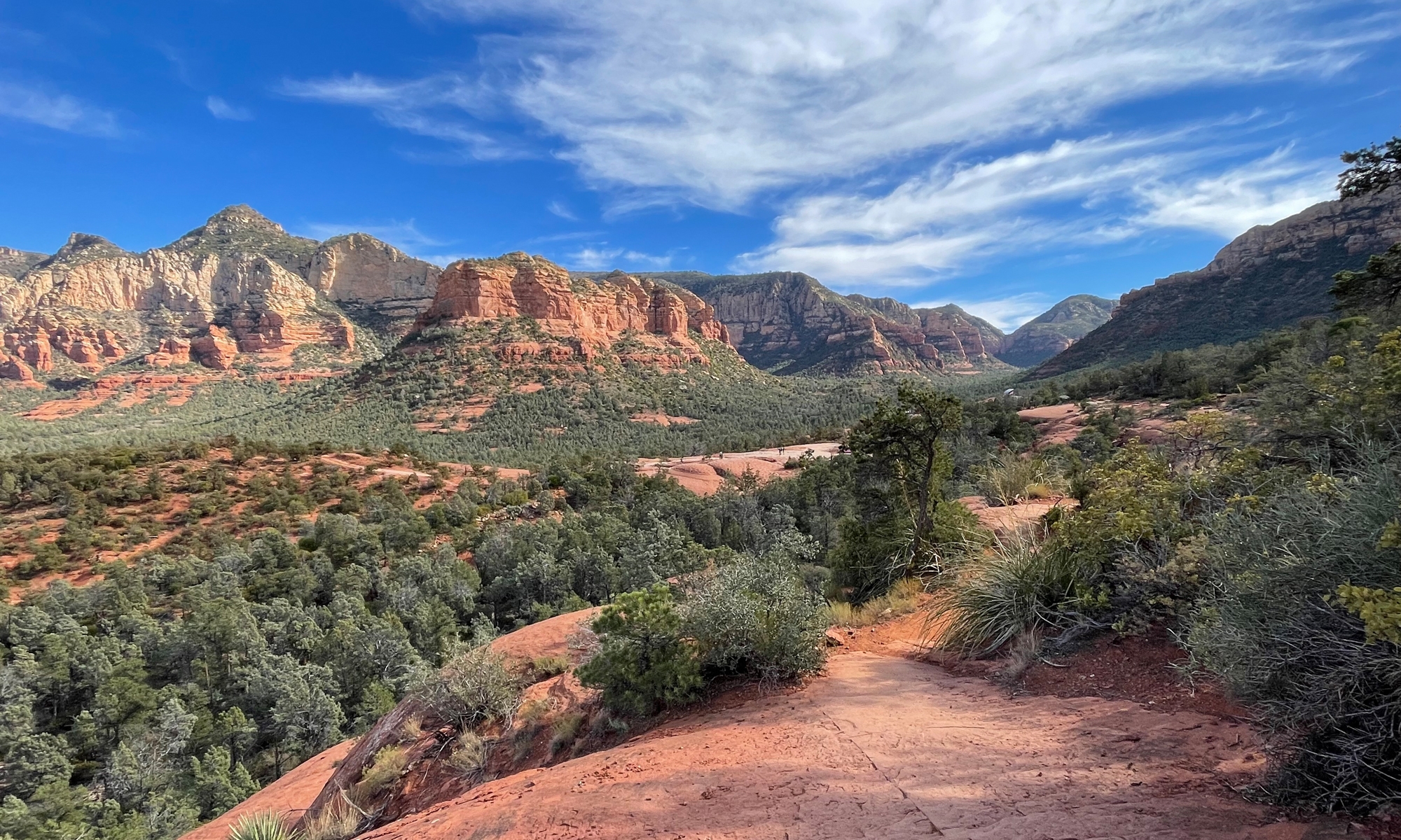
Cumberland Gap was definitely mountainous.
Hubby and I were in Virginia when this picture was taken. The mountains to the left of the frame are in Tennessee. The mountains to the right are in Kentucky.
When we left Middlesboro, we didn’t want to do it on repeat roads. So I plotted a different track. We encountered some SERIOUSLY curvy, mountainous roads. Not fun roads, though. Challenging roads.
Wanna know what made these roads through coal country even more challenging?
Big-ass coal trucks that were sharing the roads. There’s nothing quite as disconcerting as going through a blind, hairpin turn at full lean going about 45 mph than seeing an 18-wheeler coming toward you at high speed, taking up half of your lane.
You should have seen the potholes sink holes that dotted this one stretch of road. Oh. My. GOD.
We both have big bikes, but these sink holes were large enough to eat either one of us alive.
Soon enough, however, we were entering the Daniel Boone National Forest on perfect stretches of gently curving, hilly asphalt. We were still dodging coal trucks, just not as many. We stopped at Cumberland Falls for a nice picnic lunch.
From there it was on to our very cool destination for the evening. This was a place I didn’t tell Hubby anything about. It was a bit further west than I would’ve originally planned on heading, but once I read about the place, I couldn’t resist a visit.
I haven’t said much about our accommodations. I like staying in unique places. This particular spot is about as different and as interesting as they come. We spent the night at Shaker Village of Pleasant Hill, a restored Shaker village on a 3,000 acre piece of property.
I’m not talking a couple of buildings here people. I’m talking an entire community. Multiple buildings on a sprawling piece of real estate amidst rolling farmland. The area reminded me a lot of Lancaster County, Pennsylvania. Minus the Amish folk.
The place is run by a non-profit corporation. There are not only buildings, but gardens and animals, too.
I have lots of pics to share. Later.
Thursday morning dawned even more gorgeous than the previous day. Which is good, because it was time for us to head back to the mountains.
We climbed on the bikes once again and motored east, back to the Daniel Boone National Forest. The place is FULL of giant rock cliffs. I’m talking several hundred feet tall. I’ve never seen so much rock in one state before.
We’re staying at the Natural Bridge State Park for the night. It’s a resort park, which means there’s a full-service lodge here like there was at Pipestem in West Virginia. But this one is much nicer.
Our room has a balcony overlooking the forest. The door is open as I am typing. It’s dark outside, so all I hear are tree frogs, insects, and falling acorns. Soon enough I’ll hear Hubby snoring.
I guess I’d better end this post now. We’re not sure where we’ll end the day tomorrow. There’s about 450 miles between here and our WV place. If we have the energy, we’ll ride all the way. If we don’t, we’ll just stop somewhere for the night. As long as we’re back in Maryland at some point on Saturday…
– – – – – – – – – –
One more thing. Today is my Mom’s birthday. I did not forget. I just don’t have a picture handy here to post. But I can still say…