Romney to Pipestem

Ah, I can finally get back to the trip report.

As I mentioned previously, our first day of riding was wet and cold. And that was a real shame, because we rode on some really great roads. The best road of all was WV-20 from Buckhannon to Pipestem. It was awesome. Smooth pavement. Lots of curves. Winding through rural areas and forest. You can follow this link to the Google Map of the route if you are interested.

Hubby and I know we’ll be going back to that road one day. When the weather is nice and we can REALLY enjoy it even more.

As the saying goes, though, a bad day of riding is still better than a great day at the office. Even if we were COLD and wet, it was fun.

We actually stayed at Pipestem Resort State Park for two nights. Not because of the weather. That was the plan from the beginning. I knew we could either spend some time riding in the area or exploring the park or both. It’s a resort park, meaning there’s a full-service lodge (think hotel) plus other cool stuff like cottages and cabins, golf and swimming pools, a nature center and even an aerial tram (more on that later), just to name a few.
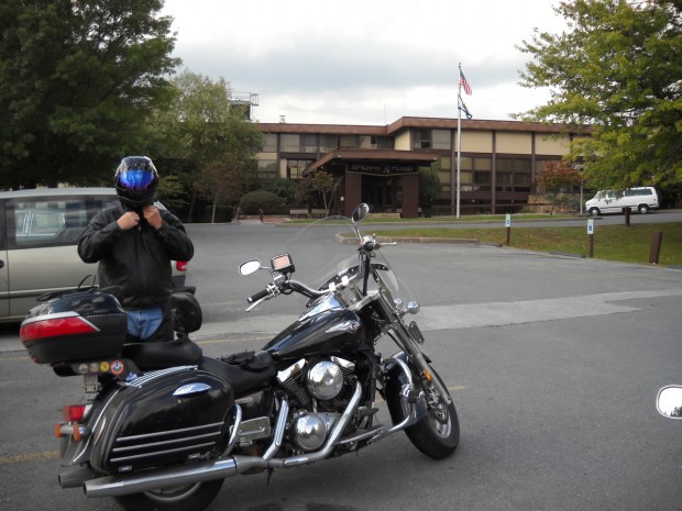
Hubby in lodge parking lot.

That shot of Hubby (he swears he was smiling) was taken in front of McKeever Lodge, where we stayed. There are actually two lodges at Pipestem. There’s McKeever Lodge, which you can drive to, and Mountain Creek Lodge, which sits along a river in a gorge and is only accessible by aerial tramway.
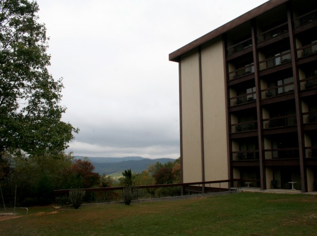
Our room at the lodge.

Our room was one floor above ground level overlooking the playground and gorge.
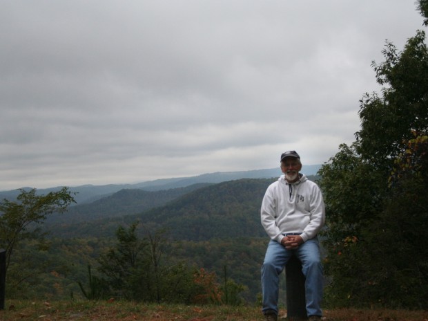
Scenic overlook along a park road.

It was still pretty cool and overcast on Monday morning, so we opted for a walking tour of the park.
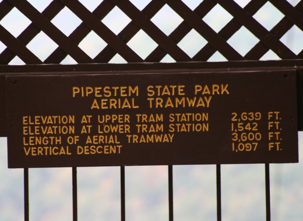
Aerial tramway sign.

Our first stop was the Canyon Rim Center, which is where the aerial tramway is located.
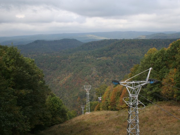
Tramway disappearing into the gorge.

The ride down is free, but you have to pay to ride back up. We both found that sort of funny. Once down there, who wouldn’t want to pay for a ride back to the top?
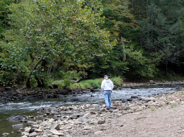
Hubby walking along the Bluestone River.

There’s a river at the foot of the gorge. The Mountain Creek Lodge sits right beside the Bluestone River.
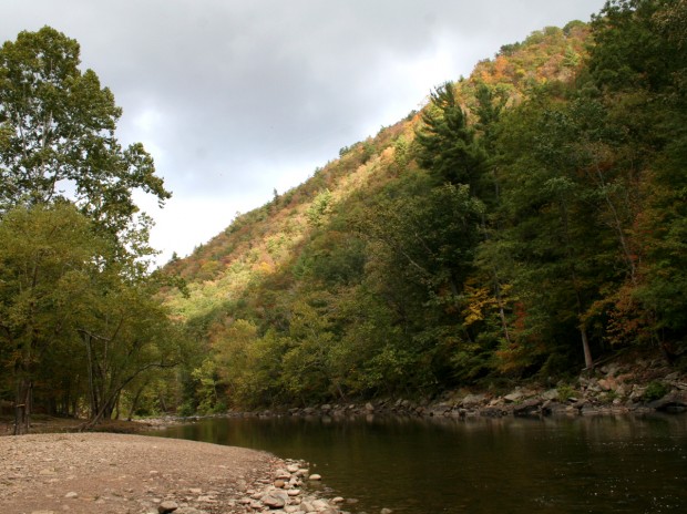
The sun kept trying to poke through the clouds.

The foliage wasn’t nearly as colorful as I’d hoped, but it was still pretty.
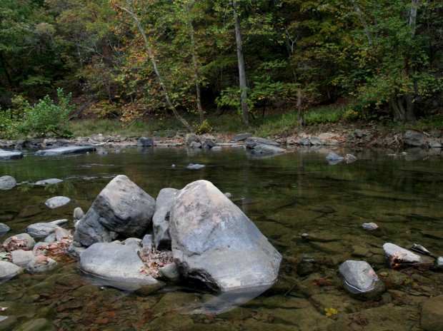
Big rock in river.

It was a very rocky place. There were rocks of every shape and size along the river bank.
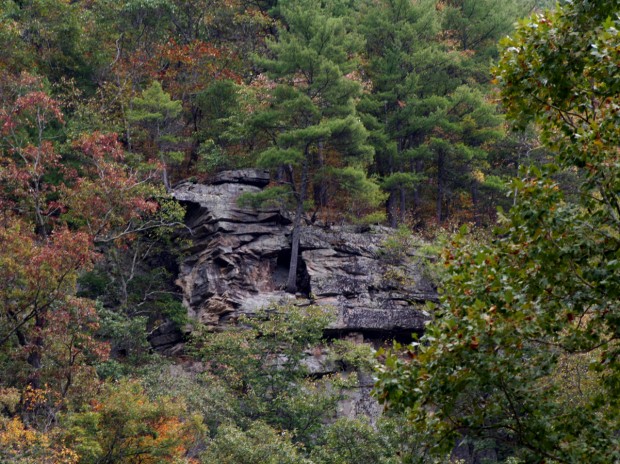
Large rock outcrop on wall of gorge.

There were also HUGE rocks hanging from the wall of the gorge. If we didn’t want to pay for the tramway, that’s the “hill” we would’ve had to climb. We, of course, paid to ride.
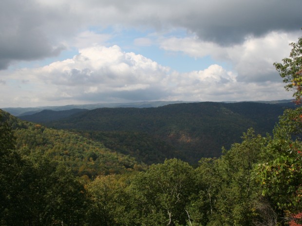
Blue sky!

By the time we were headed back to the lodge, there was actually blue sky poking through the clouds. That’s was VERY good news. Because we had to ride into town for gas (we were both on fumes). Plus I wanted to check out this scenic overlook I’d seen the previous day on the way in.
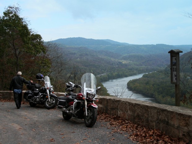
Overlook above New River.

This overlook is right beside WV-20, just north of Hinton, West Virginia. And Hinton is 12 miles north of Pipestem.
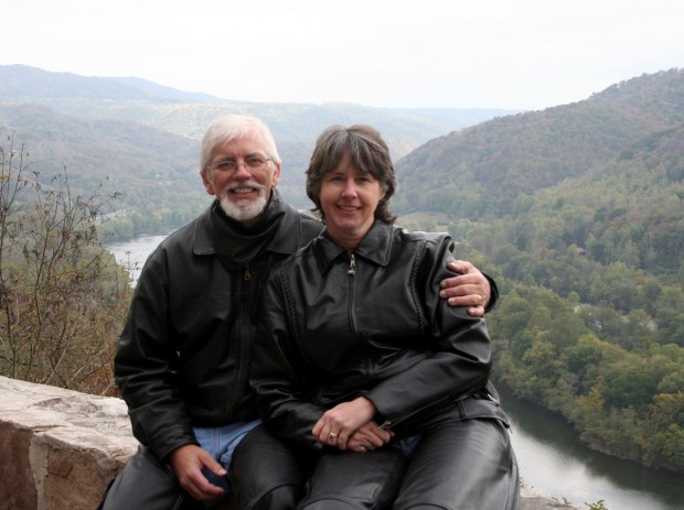
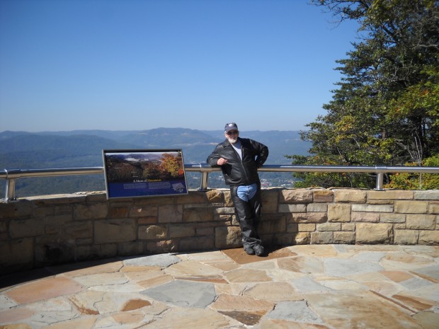
Hubby and I (with helmet hair) at the New River overlook.

We knew the good weather wouldn’t last forever, so we didn’t stick around for long.
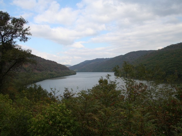
Bluestone Lake

We also had to stop at Bluestone Lake, which is also beside WV-20, about halfway between Hinton and Pipestem.
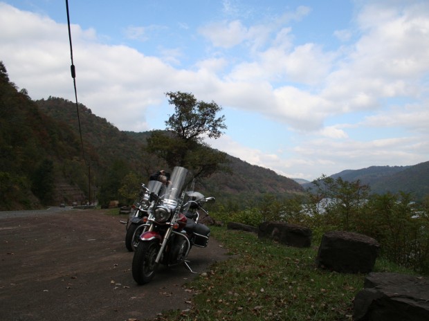
Bluestone Lake

If you look to the far left in the picture above you’ll see the road. And the rocky cliffs. Try to ignore the ugly black power line, okay?
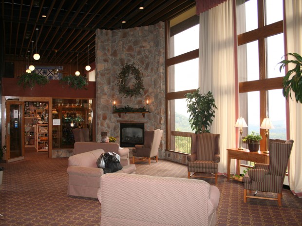
The lobby at McKeever Lodge.

The lodge has this great lobby, with a fireplace, and a wall of windows so you have a really nice view of the gorge.

That’s not Hubby on the sofa. He was in the gift shop buying a book (he forgot his). I can’t make fun of him for forgetting a book. I forgot my sweatshirt, which is one of the reasons I was so cold the previous day. You can bet I bought one on Monday morning. AND a cool jacket that makes me look like a park ranger. 🙂

That’s about it for our Pipestem visit. Shortly after I took this picture in the lobby, we had dinner and then went to bed. We had another long day of riding to prepare for…
Home Sweet Home

We made it back to the West Virginia place. It was only 441 miles. We left Natural Bridge, Kentucky at 8:30 AM and arrived here around 7:30 PM. That includes three gas stops and one stop for lunch.

Temps were in the THIRTIES when we left this morning. That is really damn cold when you’re on a motorcycle. Trust me.

It did warm up eventually. But not until a couple of hours after we’d been on the road.

It was foggy, too. For about the first hour, we alternated between pea-soup fog and blinding sun, freezing the whole time. It was fun. Fortunately we were on a parkway (highway) and not some crazy, windy, mountain roads.

After the short stint on the highway, we dropped onto some amazing country roads. Really. Today we experienced some of the best roads of the entire trip. So even if it did start out colder-than-cold, it was all worth it. The roads were that good.

More detail tomorrow when we’re at the Maryland home. Right now, I am beat. And these pictures I’m trying to upload aren’t uploading.

So that’s all for now.

Mountainous, Interesting, and Curvaceous

Wednesday morning I was quite dismayed to see thick fog blanketing the area. QUITE dismayed. We were at the Cumberland Gap. I wanted to see mountains. And, quite frankly, we were both tired of being cold.

Lucky for us, by the time we’d finished breakfast and packed up all of our stuff, the fog had cleared. The sun was out, too. It was quite a refreshing change.

I’ll do a more-thorough trip report once we get home and I can use a full-sized computer with good photo editing software. For now, some highlights to tantalize you.

Cumberland Gap was definitely mountainous.

The Pinnacle Overlook at Cumberland Gap.

Hubby and I were in Virginia when this picture was taken. The mountains to the left of the frame are in Tennessee. The mountains to the right are in Kentucky.

Our favorite kind of road...

When we left Middlesboro, we didn’t want to do it on repeat roads. So I plotted a different track. We encountered some SERIOUSLY curvy, mountainous roads. Not fun roads, though. Challenging roads.

Wanna know what made these roads through coal country even more challenging?

Big-ass coal trucks that were sharing the roads. There’s nothing quite as disconcerting as going through a blind, hairpin turn at full lean going about 45 mph than seeing an 18-wheeler coming toward you at high speed, taking up half of your lane.

You should have seen the potholes sink holes that dotted this one stretch of road. Oh. My. GOD.

We both have big bikes, but these sink holes were large enough to eat either one of us alive.

Soon enough, however, we were entering the Daniel Boone National Forest on perfect stretches of gently curving, hilly asphalt. We were still dodging coal trucks, just not as many. We stopped at Cumberland Falls for a nice picnic lunch.

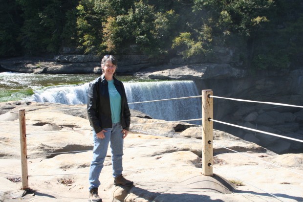
ToadMama atop Cumberland Falls.

From there it was on to our very cool destination for the evening. This was a place I didn’t tell Hubby anything about. It was a bit further west than I would’ve originally planned on heading, but once I read about the place, I couldn’t resist a visit.

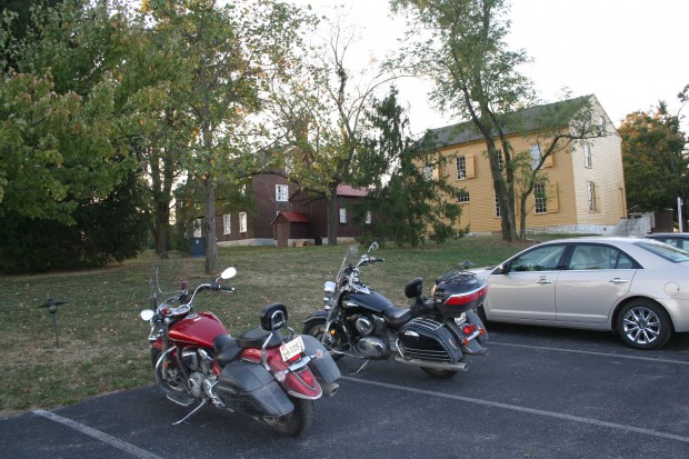
Shaker Village of Pleasant Hill

I haven’t said much about our accommodations. I like staying in unique places. This particular spot is about as different and as interesting as they come. We spent the night at Shaker Village of Pleasant Hill, a restored Shaker village on a 3,000 acre piece of property.

I’m not talking a couple of buildings here people. I’m talking an entire community. Multiple buildings on a sprawling piece of real estate amidst rolling farmland. The area reminded me a lot of Lancaster County, Pennsylvania. Minus the Amish folk.

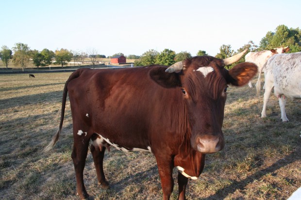
Moo!

The place is run by a non-profit corporation. There are not only buildings, but gardens and animals, too.

I have lots of pics to share. Later.

Thursday morning dawned even more gorgeous than the previous day. Which is good, because it was time for us to head back to the mountains.

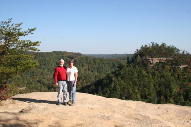
Hubby and I on top of a huge rock outcrop.

We climbed on the bikes once again and motored east, back to the Daniel Boone National Forest. The place is FULL of giant rock cliffs. I’m talking several hundred feet tall. I’ve never seen so much rock in one state before.

We’re staying at the Natural Bridge State Park for the night. It’s a resort park, which means there’s a full-service lodge here like there was at Pipestem in West Virginia. But this one is much nicer.

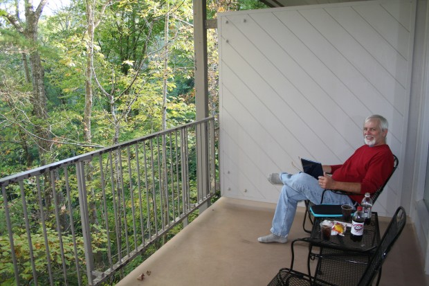
Hubby enjoying our balcony.

Our room has a balcony overlooking the forest. The door is open as I am typing. It’s dark outside, so all I hear are tree frogs, insects, and falling acorns. Soon enough I’ll hear Hubby snoring.

I guess I’d better end this post now. We’re not sure where we’ll end the day tomorrow. There’s about 450 miles between here and our WV place. If we have the energy, we’ll ride all the way. If we don’t, we’ll just stop somewhere for the night. As long as we’re back in Maryland at some point on Saturday…

– – – – – – – – – –

One more thing. Today is my Mom’s birthday. I did not forget. I just don’t have a picture handy here to post. But I can still say…

Happy Birthday, Mawsie!!!

Another State Added

We made it to Kentucky!

You’ll have to click here to see the picture. I’m unable to upload pics right to the blog for some weird reason.

At 9:30 AM, when we left Pipestem, West Virginia, it was 43 degrees and cloudy. It wasn’t raining, but since the ground was still wet, Hubby recommended that we don the rain gear.

I’m glad I have such a smart Hubby. Because it wasn’t long at all before we were getting rained on. The rain didn’t last long, but the roads were pretty much wet all day. It was cold, too.

I have pictures to share, but I can’t upload them for some reason. I decided to do a post anyway so y’all know we’ve arrived.

We’re in Middlesboro, Kentucky, which is just outside of the Cumberland Gap National Park.

Tomorrow we’re going someplace very cool, but very rustic. They do not have Internet access. In fact, I don’t even think they have TV.

So you won’t hear from us again until Thursday when we’re at Natural Bridge State Park.

A few shots from the day…

Hubby trying to warm his hands.

This is pretty much how the sky looked all day.

Here’s a look at a graph showing our elevations for the day. There were A LOT of peaks and valleys. The day was wet and cold, but still very interesting.

Happy Birthday, Hubby!

Today is Hubby’s birthday.

All loaded-up and ready to go.

I wish I could say there’s a fabulous day of riding ahead of us. I mean we ARE in one of the most beautiful parts of West Virginia. And we DID ride in on a fabulous road.

Unfortunately, it’s 48 degrees and cloudy. And there’s a 60% chance of rain.

Considering the fact that we rode about 6 hours in the cold rain yesterday (scattered showers), neither of us are real anxious to mount-up again today.

I’ll write more later. It’s time to go get breakfast!

– – – – – – – – – – – – – – – – – – – –

The Ride – Day 1

We left the WV place around 9:30 on Sunday. That’s relatively early in the day, so we had high hopes that the temperature, which was hovering around 60, would get warmer and the clouds would go away.

With our leather on, we were warm enough. Unfortunately, though, the clouds did not go away. Instead, they thickened and condensed. The next thing you know, we were stopped beside the road near Thomas, WV (very close to Blackwater Falls State Park) pulling on our rain gear. Truth be told, I was happy to be wearing an extra layer. As it turns out, 60 degrees was to be the warmest temperature we experienced all day.

It didn’t rain continuously, but it did rain a lot. The roads were wet pretty much all day. And that’s a real shame. Because just south of Buckhannon, we got on WV-20, which is one of the best roads we’ve ever ridden. Very little time was spent in an upright position. There was curve after curve after curve as we went up and back down numerous mountains.

It was easy to tell when we neared the top of a mountain. That’s when the fog got REALLY thick. I’m sure we missed some spectacular scenery. What little we could’ve seen was missed because we had to remain 100 percent focused on the road. Riding a motorcycle, which takes a good bit of concentration on a clear day, becomes a bit more challenging in the rain.

Wanna know what it’s like? Picture yourself going about 50 mph in your car during one of those niggling, misty rains. Your windows are down, of course. And you don’t have any windshield wipers. Oh yeah, and we can’t forget the cold.

Except for our hands (neither of us have weatherproof gloves), we were dry. But it was quite chilly. It’s hard to relax and enjoy riding when you’re stiff with cold. But we made the best of it. And we actually lasted five and a half hours before stopping to thaw out.

We were very happy when we did stop. It was nice to get warm and eat.

Shortly after lunch, we rode through a town with a bank that had a digital thermometer built into its sign. I was amazed to see that it read 40 degrees. Yes, 40. No wonder we felt cold!

Lucky for us, the place we’re staying is warm. There’s even a fireplace in the lobby. It was really nice to get here and warm up.

We’re in far southern West Virginia at Pipestem Resort State Park. If you follow that link, you’ll see they have a web cam, which means you’ll be able to see for yourself just how dreary the day looks. As long as it doesn’t rain, we’ll be happy. There’s lots here to see.

Maybe I’ll even have some pics to share with you tomorrow.

Time to Don the Biker Hat

Those of you who read my blog because you love reading about our motorcycle adventures will be happy to know we’ve got a great ride lined up. And it is FAST approaching.

It’s our end-of-the-2010-riding-season road trip to…

cue drum roll, please

Kentucky.

Motorcycle traveling is unlike regular travel. With regular travel, be it by car, bus, train, plane or camel, one typically identifies some cool places to visit and then finds the fastest, most-convenient way to get there. Two-wheeled travel is often more about the ride than the destination.  We hardly ever take the most-direct route. We pretty much always prefer rural routes over interstate highways. Especially if said rural routes wind through the mountains.

Why Kentucky?

Well, Hell. Why not? According to Wikipedia, Kentucky is “home to the highest per capita number of deer and turkey in the United States, the largest free-ranging elk herd east of Montana, AND the nation’s most productive coalfield.” Plus, it’s known for thoroughbred horses, horse racing, bourbon distilleries, bluegrass music, automobile manufacturing, tobacco and college basketball.

Need I say more?

Okay, how about this for a really compelling reason.

I chose Kentucky because it’s a state I haven’t been to. Plus, it’s the heart of Appalachia.  And we’ll get to see the real Cumberland Gap. Real as opposed to Cumberland, Maryland, which I used to think of as the Cumberland Gap, but which is really the Cumberland Narrows.

As if those aren’t enough reasons, there’s also this… I’ve been wanting to explore southern West Virginia a bit more. We’ve ridden through before. But this time we’ll be spending a little more time poking around.

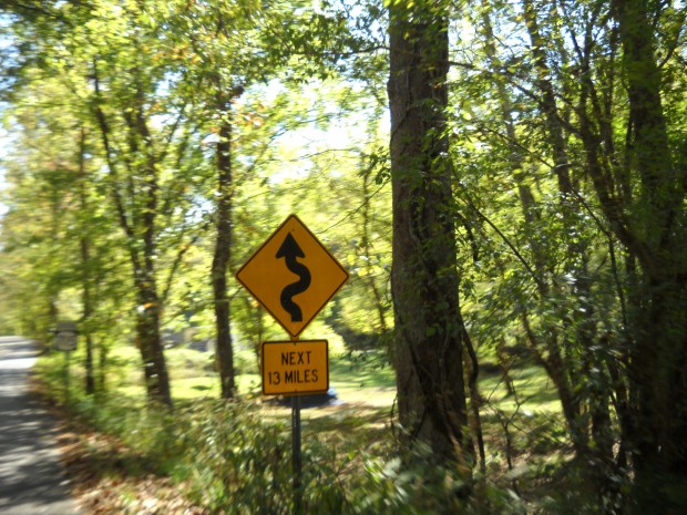
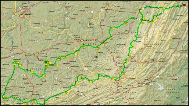
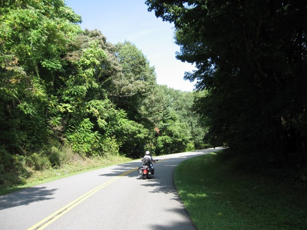
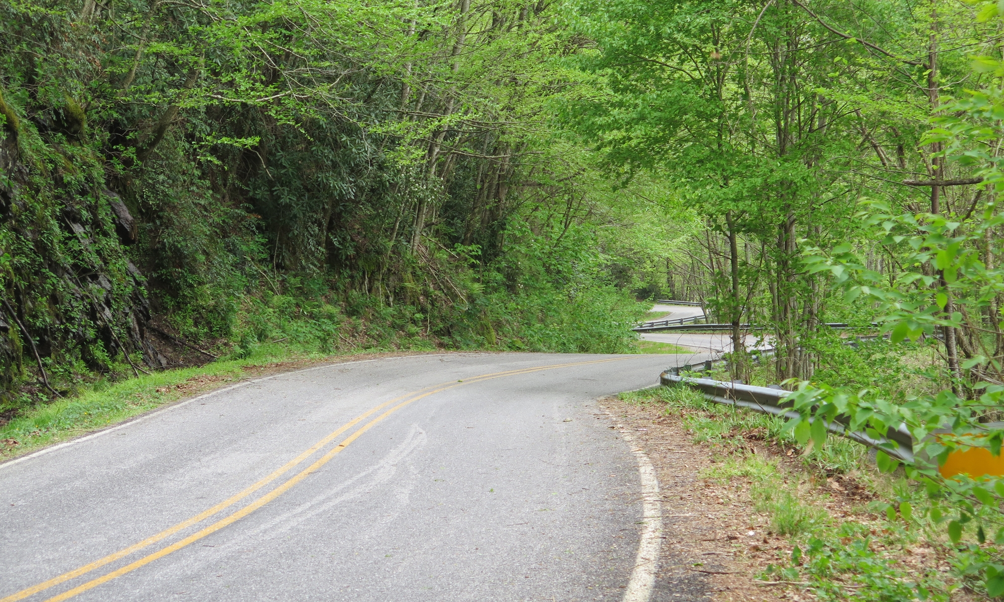
I’ve spent quite a bit of time plotting a route that should have us traversing a lot of roads that look like this…

Our kind of road!

Roads like that are what make this so much fun.

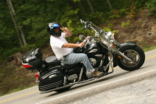
Hubby
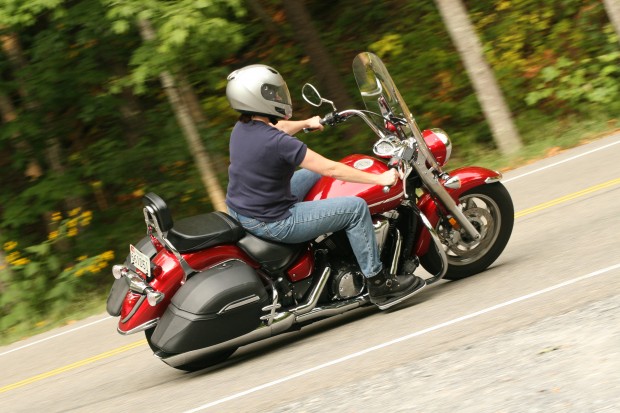
ToadMama

We’ll get to add another national park to our list of places visited. AND a cool Kentucky state park. We’ll be doing some other fun stuff, too. But I can’t give it all away here.

There’s one place I’m hoping will really tickle Hubby. I’m the trip planner, remember? I don’t always share the details in advance. Usually because he doesn’t really want to know.

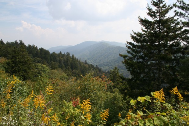
We will definitely see a lot of mountains.

I’ll be sure to take lots of pictures to share here, okay? I may even be able to do some posts from the road.

For now, though, I have a ton of WORK to get done. So, TTFN!