More than once, people have told me I could make a living as a travel planner. I disagree. Travel is a very personal thing. Everyone has particular likes and dislikes that must be considered to make a trip a success. From things to see and do, type of lodging, preferred methods of getting around, type of food, experiences, tourist spots, etc., to amount of time allotted in any one spot and locations to avoid. There are a lot of factors to be considered. Especially when visiting a place like Hawaii with its multiple, diverse islands. You have to know yourself and your travel companions very well to “get” what they like or not because many people have a difficult time articulating all of the little details or nuances that can make or break a trip.
I always start trip preparation by asking Mike to let me know if there’s anything in particular he wants to see and/or do in a particular spot or area. His list for Hawaii was short; Pearl Harbor and Volcanoes National Park. Easy-peasy. For me, it was Volcanoes National Park, beaches, beaches, and more beaches. Because the island of Oahu is so populated, if it weren’t for the fact that Pearl Harbor is there, we may have skipped the island altogether.
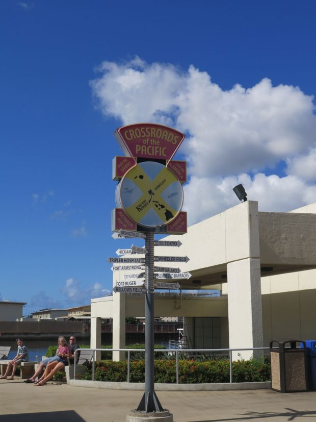
I’m glad we didn’t skip Oahu, of course. Even I wanted to see where Japan attacked the US in 1941.
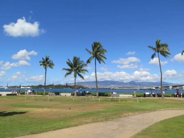
One can’t help but try to imagine what it must have been like to have been there during the firestorm. Planes flying low overhead, bombs dropping and exploding, fire and smoke belching and billowing out of structures, people lying dead, dismembered, or maybe only injured. Imagine the myriad sounds and smells…
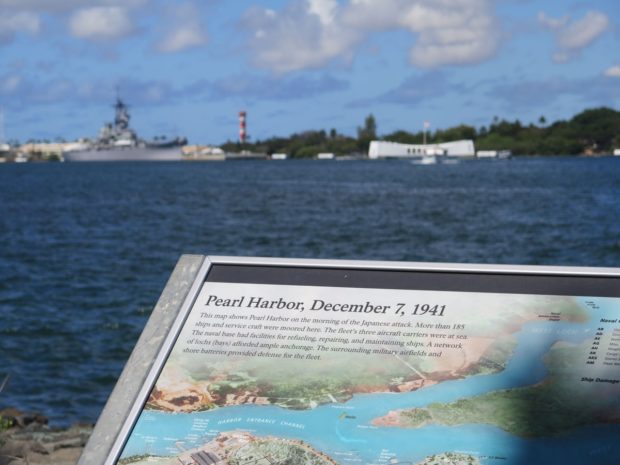
I imagine there were a lot of screams, too. It wasn’t just the military under attack, although that was the focus. There were many, many civilians in the area, too. Women and children. Elderly people. All going about their normal lives.
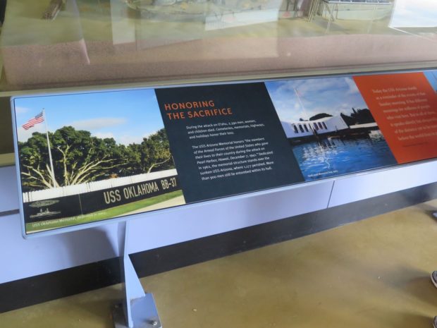
The National Park Service (NPS) always does a good job helping people understand the places the NPS was created to protect. There were a number of displays, photographs, artifacts, etc., as well as various videos playing interviews with people who had been there that fateful morning and survived to tell about it. Powerful stuff.
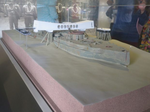
As explained on the NPS website:
The Battleship USS Arizona was bombed on December 7, 1941, about 15 minutes into the Japanese attack on Pearl Harbor, killing 1,177 sailors and Marines. Over 900 could not be recovered from the ship and remain onboard. Today, Arizona rests where she fell, submerged in about 40 feet of water just off the coast of Ford Island.
Designed by Honolulu architect Alfred Preis, the USS Arizona Memorial was built in 1962 on top of (but not touching) the sunken USS Arizona. The memorial honors the memory of the crew of the USS Arizona, as well as all the other service members and civilians killed in the attack. A total of 2,341 sailors, soldiers, and Marines died as a result of the attack, as well as 49 civilians.
If you’d like to learn more about the memorial and see how it looks from the air, with the sunken ship visible underneath, CLICK HERE.
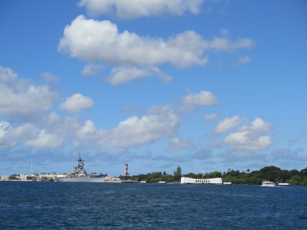
The pier at the actual site is in need of repair, so we could not go inside the structure and look down upon the ship, which is mostly intact and resting on the harbor floor with about 900 bodies entombed inside.
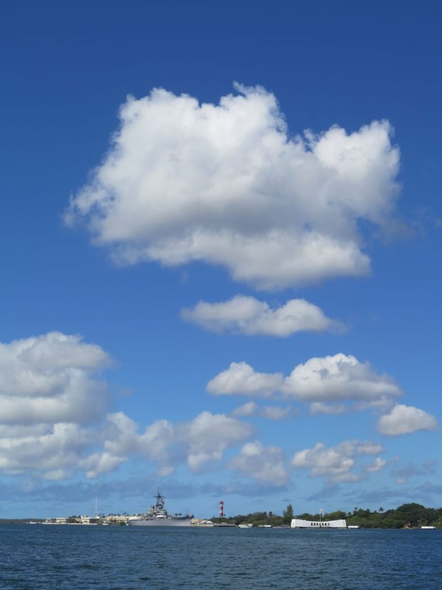
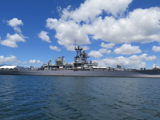
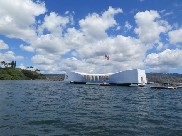
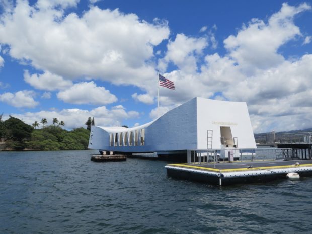
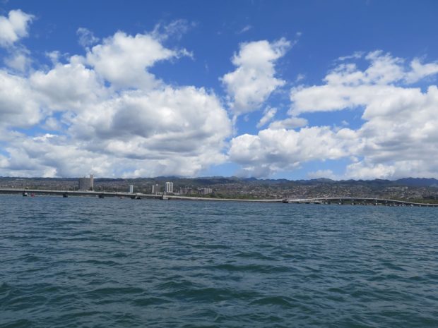
It was a beautiful day for a boat ride.
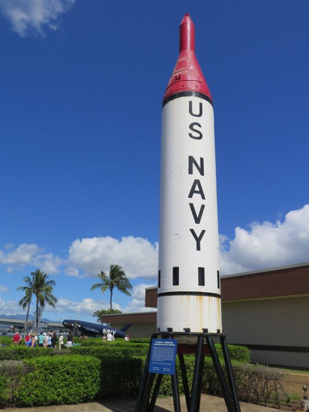
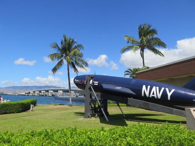
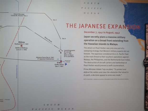
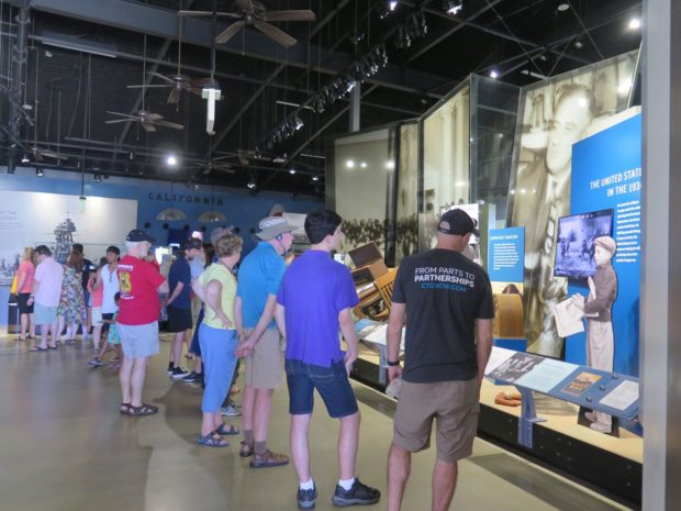
After a few sobering hours at Pearl Harbor, we were both ready to move on. Our next stop was the Pu’u ‘Ualaka’a State Wayside, a state park I read about in a travel guide, which is described on its website as, “Conveniently located close to downtown Honolulu, Puʻu ʻUalakaʻa State Wayside provides a beautiful, panoramic view of southern Oahu from Diamond Head to Pearl Harbor.”
Who can resist a good panoramic view?
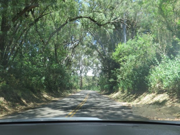
I hadn’t seen pictures, I had only read a little bit about the park. It was a winding, twisty, steep, narrow drive to get to the top. Essentially, we were driving through a jungle. The road was paved and in relatively good condition as there are homes scattered along the route, but the vegetation was very thick and dense.
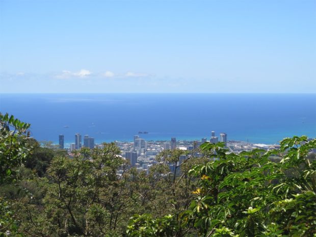
We finally came to a pull-off where we could get out and see. That’s Honolulu in the shot above.
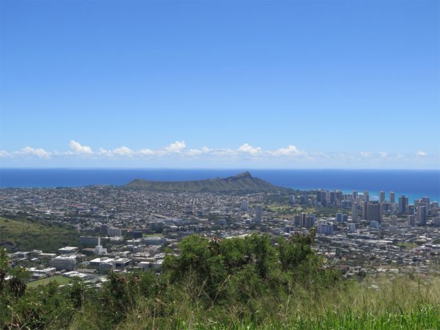
According to the state’s website, “Diamond Head is a defining feature of the view known to residents and tourists of Waikīkī. The volcanic tuff cone is a State Monument. While part of it is closed to the public and serves as a platform for antennas used by the US government, the crater’s proximity to Honolulu’s resort hotels and beaches makes the rest of it a popular destination.”
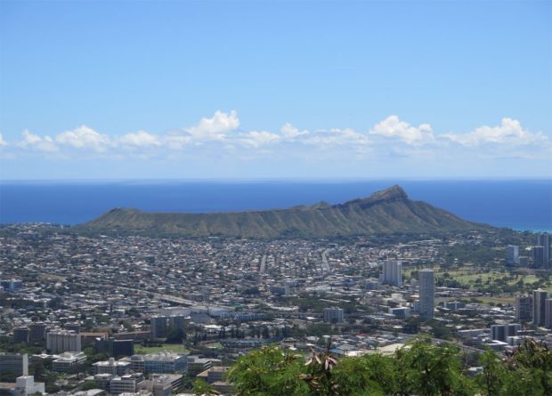
There are trails for people to climb to the top of Diamond Head, but we weren’t feeling quite that energetic.
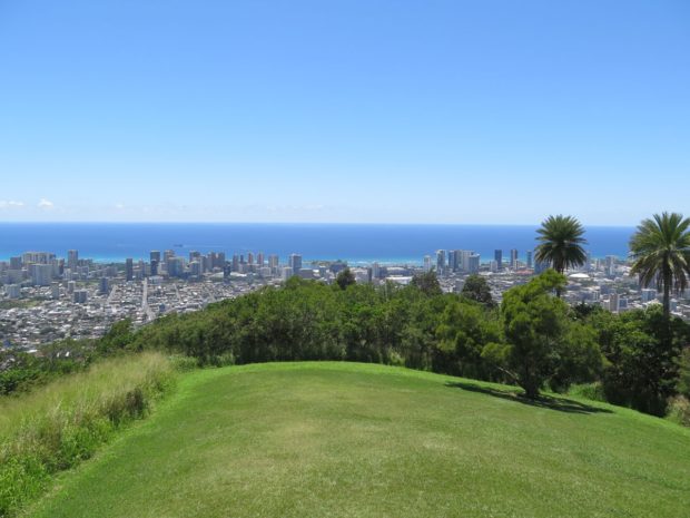
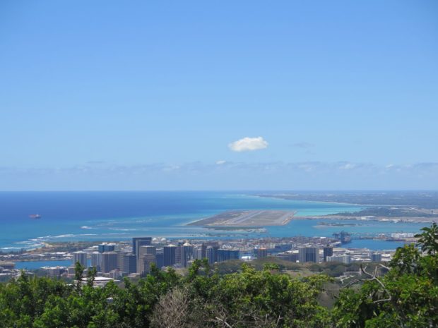
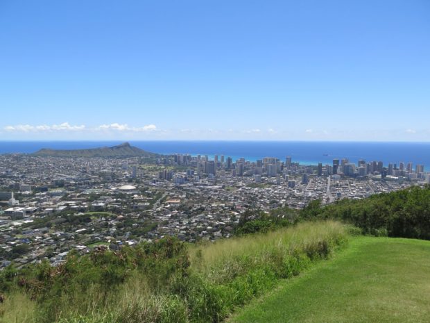
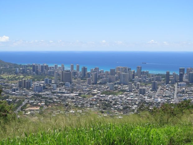
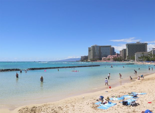
Perhaps it’s clear why we wanted to stay on the other, “wilder” side of the island? It just looked like a big city from afar. So much so that I almost said, “screw visiting Waikiki.” Almost. But we were THAT close to a world-famous beach, I figured we really should make our way through the concrete jungle and its masses of people for a closer look.
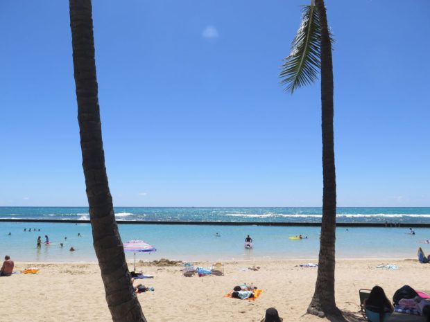
The view out over the water from the beach was lovely. I can certainly see the appeal of the beach to people who are visiting the city and have no car and/or no desire to explore less-populated places on the island. But the view looking inland from the beach was just like the view of any other big city except maybe a bit more-colorful, especially since lots of folks were wearing Hawaiian shirts.
I much prefer the wilder side of things.
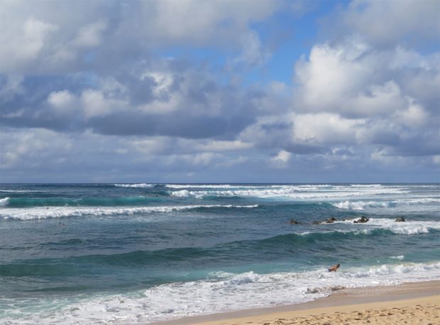
It may not be as gentle a place for swimming, but it was definitely more peaceful.
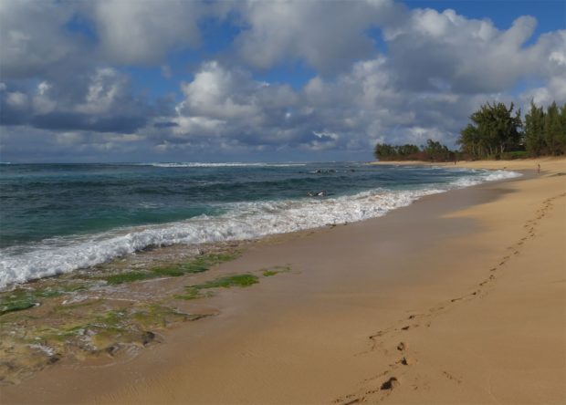
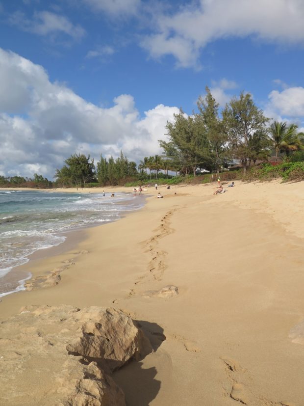
Even though the beach was more-crowded at that point than we’d ever seen it, I still preferred it to the beach in the city.
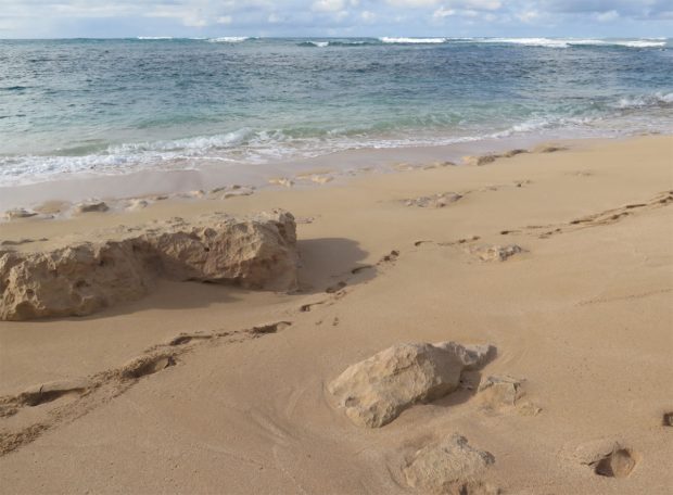
It was a long, busy day for both of us. We had a nice, relaxing late-lunch/early dinner, drank some beer, napped, drank some beer, and then started packing in preparation for our first island hop over to Molokai the next morning.
We did capture some interesting pics from the plane the next day.
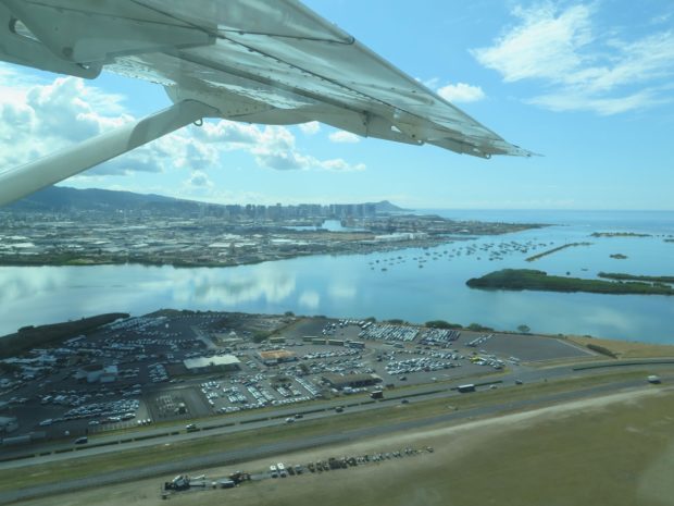
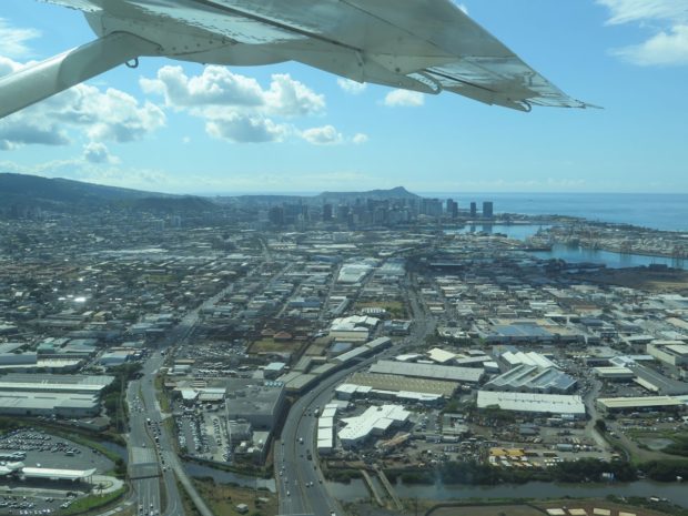
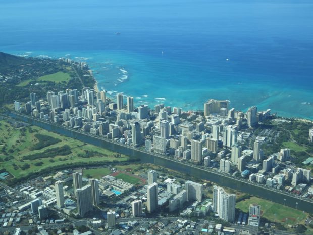
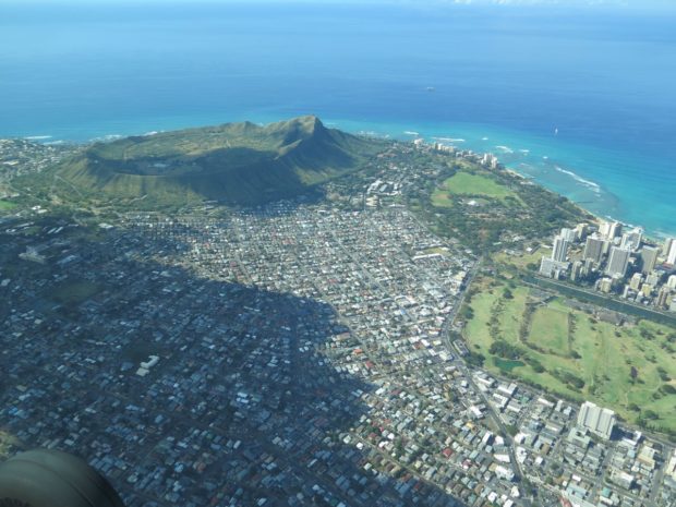
It wouldn’t be the worst place in the world to live, I guess. But it certainly will not be my first choice if I ever need to relocate to Hawaii.
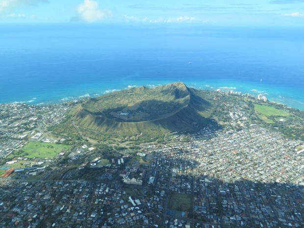
I’ll have to tell you about the whole island-hopping experience on small airplanes in another post. I was not sad to leave Oahu behind, because I was really, REALLY looking forward to seeing the gem of a cottage I found for us to spend five nights of complete quiet relaxation on Molokai. It made even the North Shore look like a densely populated place in comparison.
