
To make up for lost time (we’ve been riding in West Virginia for eight years!), I am re-purposing some old ride logs and images. But have no fear, all of the roads I’ll talk about are still there, waiting for you to discover and enjoy them.
On one mid-September morning, Hubby and I were both quite noncommittal about venturing out. We’d frozen our asses off in the mountains the previous day. (Temps in the mountains slightly west of use are sometimes as much as 20 degrees cooler than here.) But when I drove into Romney for breakfast at McDonald’s, I realized the weather was so perfect, it would’ve been almost criminal not to ride.
So I mapped out a route for us. I call this one the Greenland Gap Run.
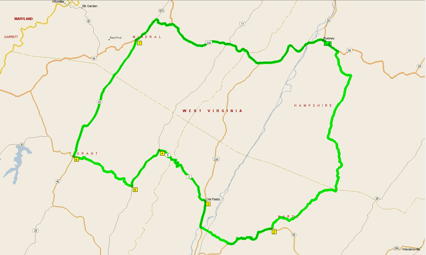 |
| Greenland Gap Run Overview Map |
If you click on the map for a bigger view, you’ll see that this ride takes you through four counties: Hampshire, Hardy, Grant and Mineral.
Whether using old-fashioned paper maps or newfangled mapping software, route planning is not a perfect science. While county roads are fun, sometimes they are not paved. But we manage, as long as the gravel and/or dirt roads are in relatively good condition.
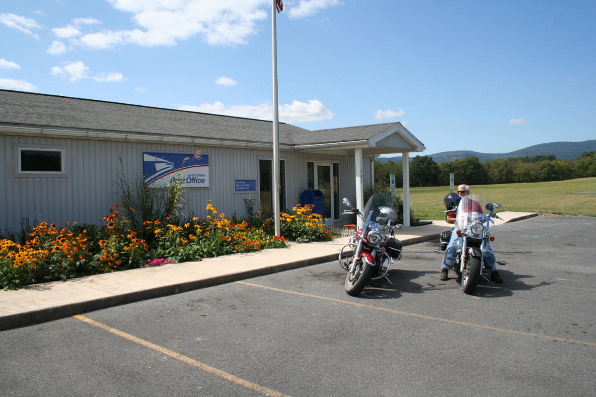
I couldn’t resist stopping to take a picture of the flowers at the Post Office just off US-220 South of Old Fields, WV. After that brief pause, we headed West on Old Fields Road [CR-2/5] into Williamsport, WV.
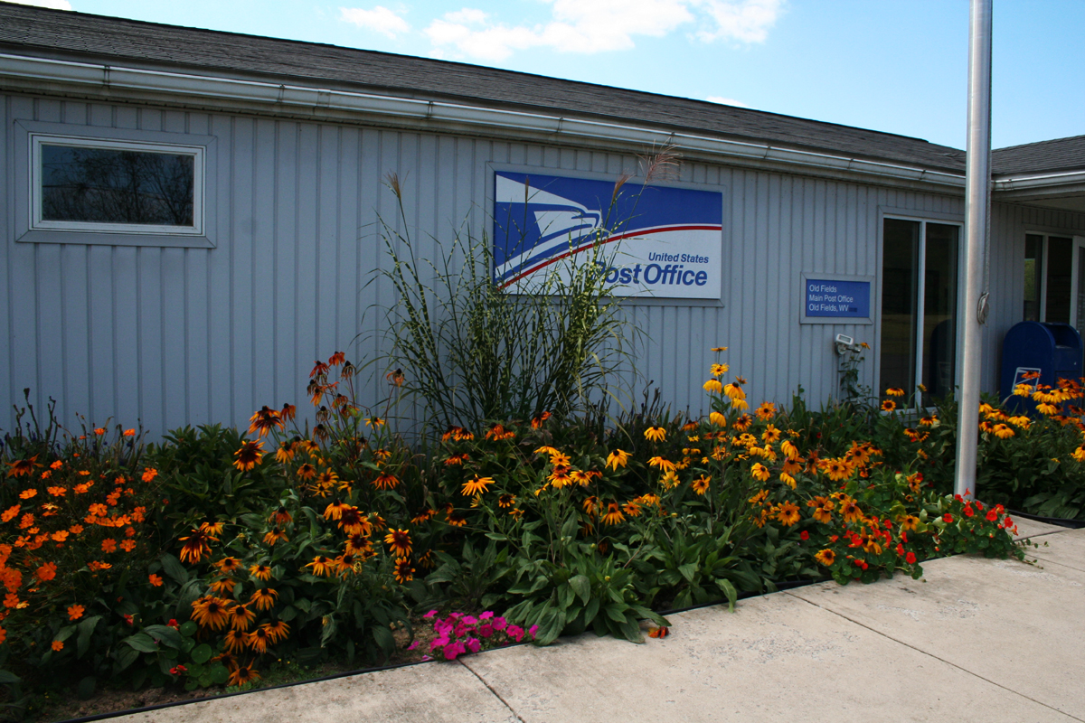 |
| US Post Office in Old Fields, WV |
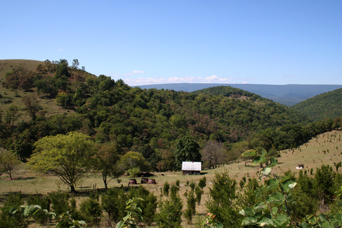
We proceeded West and, after hitting Williamsport, headed North on CR-5 (Patterson Creek Road). The images that follow were taken along the way…
 |
| Hubby waiting patiently for me to stop with the pictures already! |
 |
| Old barn just east of Williamsport, WV on Williamsport-Twin Mtn Road. |
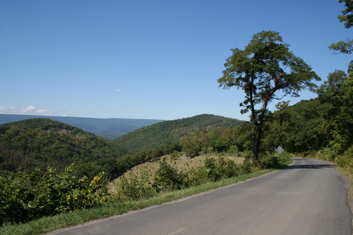 |
| Another scenic view from Williamsport-Twin Mtn Road (CR-5/2). |
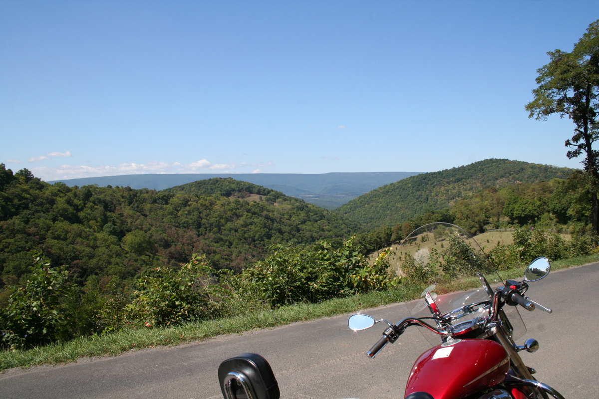 |
| Here you can barely see my bike. |
From there, the plan was to continue West on Poplar School Road (or Popular School, depending on which map software you believe). But there was a problem.
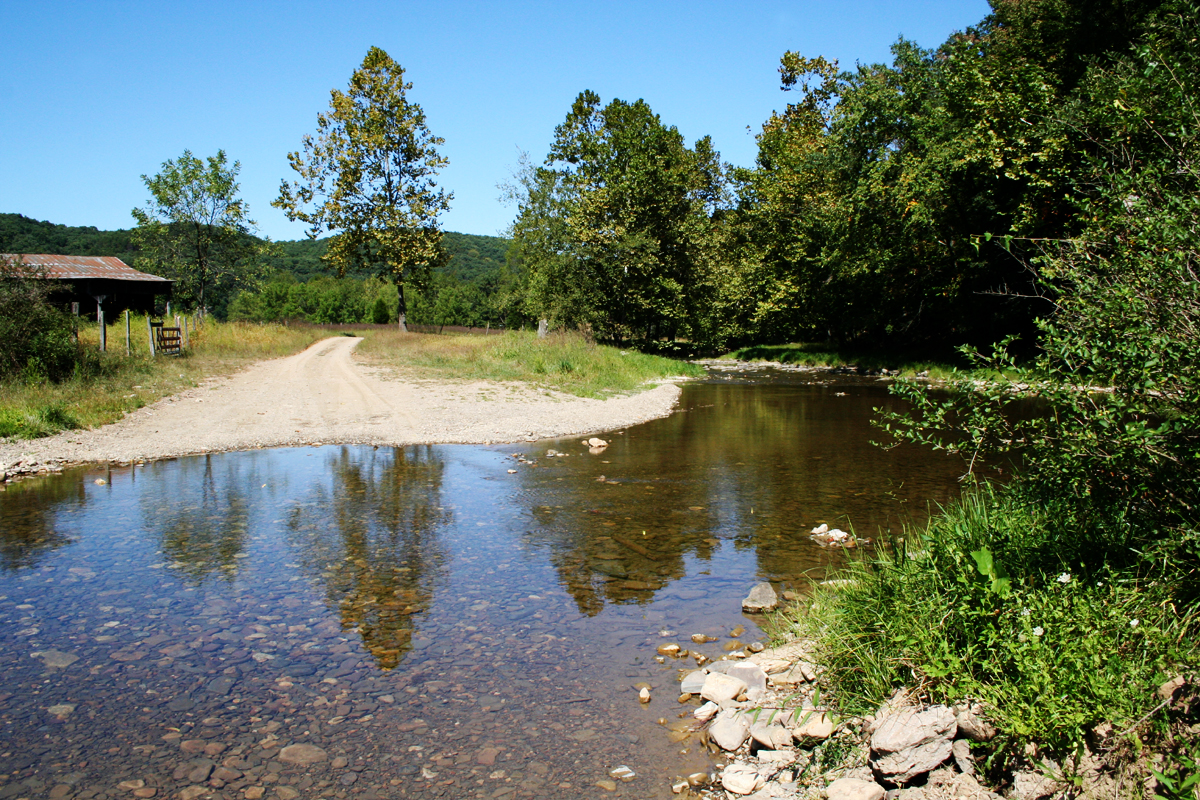 |
| Poplar / Popular School Road (CR 5/1). |
It’s a pretty little scene, right?
 |
| Poplar / Popular School Road (CR 5/1). |
Do you see the problem?
You can see better in the next shot that the road went right through Harness Creek!
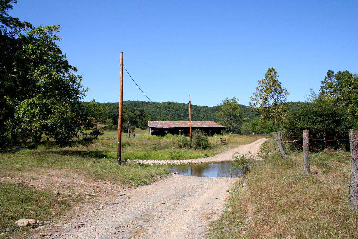 |
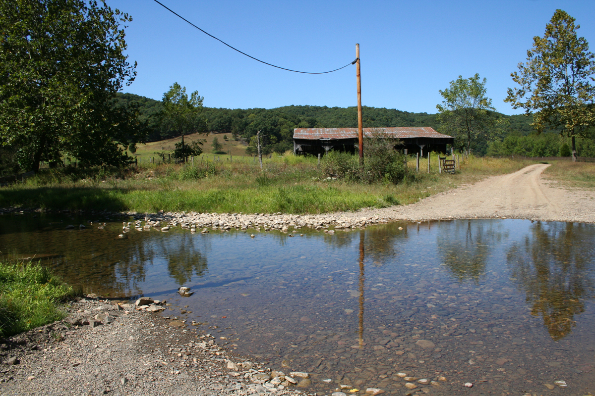
| Harness Creek Ford |
Had we been in the truck, we could have forded the smallish waterway. Fording creeks, however, is never a good idea on big-ass, 800-plus-pound street motorcycles. Traversing dirt and/or gravel roads is enough of a challenge. Driving over slimy wet rocks in a creek? Uh, no.
I couldn’t resist snapping some pics before consulting my trusty West Virginia Atlas & Gazetteer (by DeLorme Publishing) to find an alternate route. Now, I knew where I was and could’ve gotten us home without a map, but it was too nice a day to quit so early. So we headed West to Greenland Gap Road, which goes right through the Greenland Gap Preserve.
Both this and the following images were from a previous trip I’d taken there without Hubby.
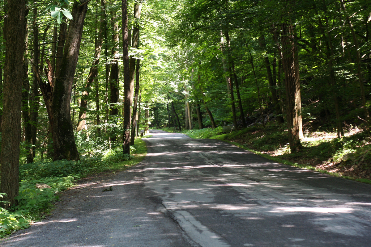 |
| Greenland Gap Road |
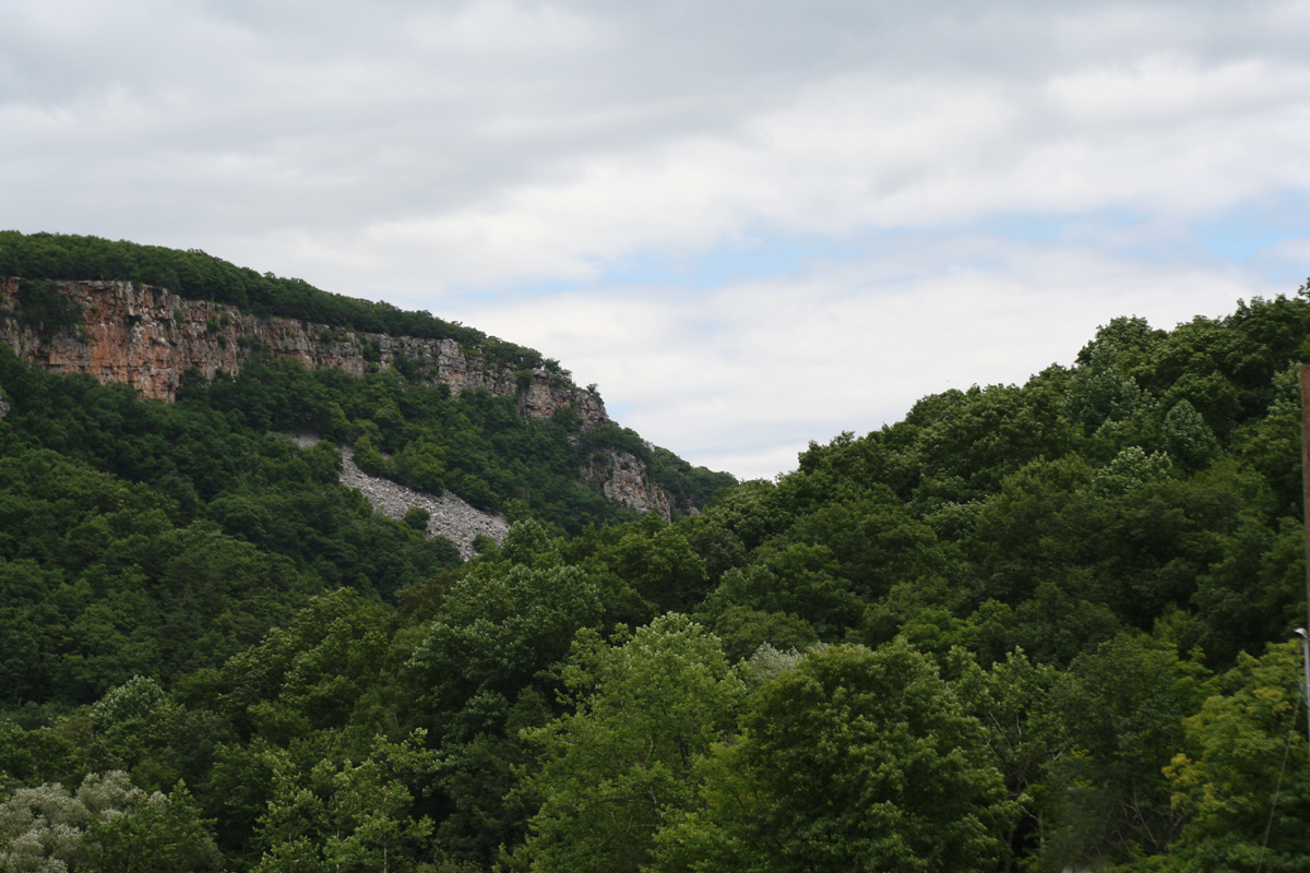 |
| The 800-foot cliffs overlooking the Greenland Water Gap. |
I did stop long enough so Hubby could see the gap as shown in the above image. You can’t appreciate the size of the cliffs when traveling the road from East to West.
If you’re feeling like a hike, the Nature Conservancy maintains the Greenland Gap Preserve, which is just east of where this picture was taken. And you can hike to the top of the cliffs. (Um, we haven’t done that yet.)
From there, we headed East on SR-93 then East on US-50 back into Romney.
Riding weather doesn’t get much better than temperatures in the mid-70s, with very low humidity and sunny skies. But even on a less-than-perfect day, the Greenland Gap Run would not disappoint.