
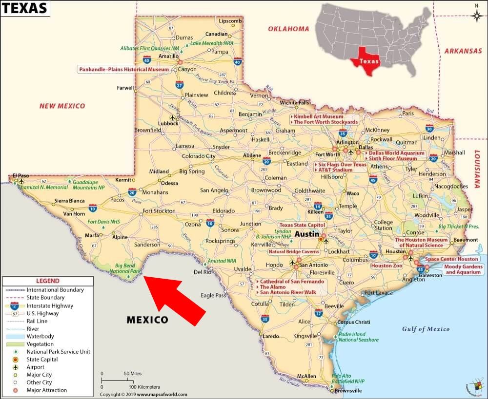
Terlingua is only a few miles away from one of the park entrances. I added a red arrow to the map shared below (from Mapsofworld.com) to show you where BBNP is located. It’s pretty remote.
It took us about six hours to get here from Fredericksburg. We left on a Tuesday. On Thursday, just about all of Texas was under a winter weather warning for snow and ice. The Big Bend region was spared the precipitation, but it did get pretty cold. So cold, in fact, that the campground had to turn off their water to prevent the system from being damaged by freezing.
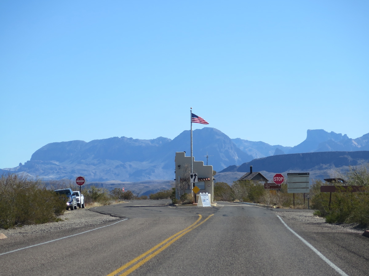
We just hung out around the campsite on Wednesday and Thursday. On Friday, we decided to take a drive into the national park.
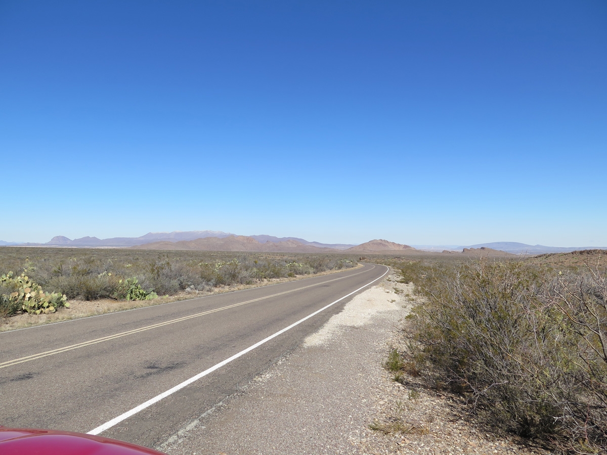
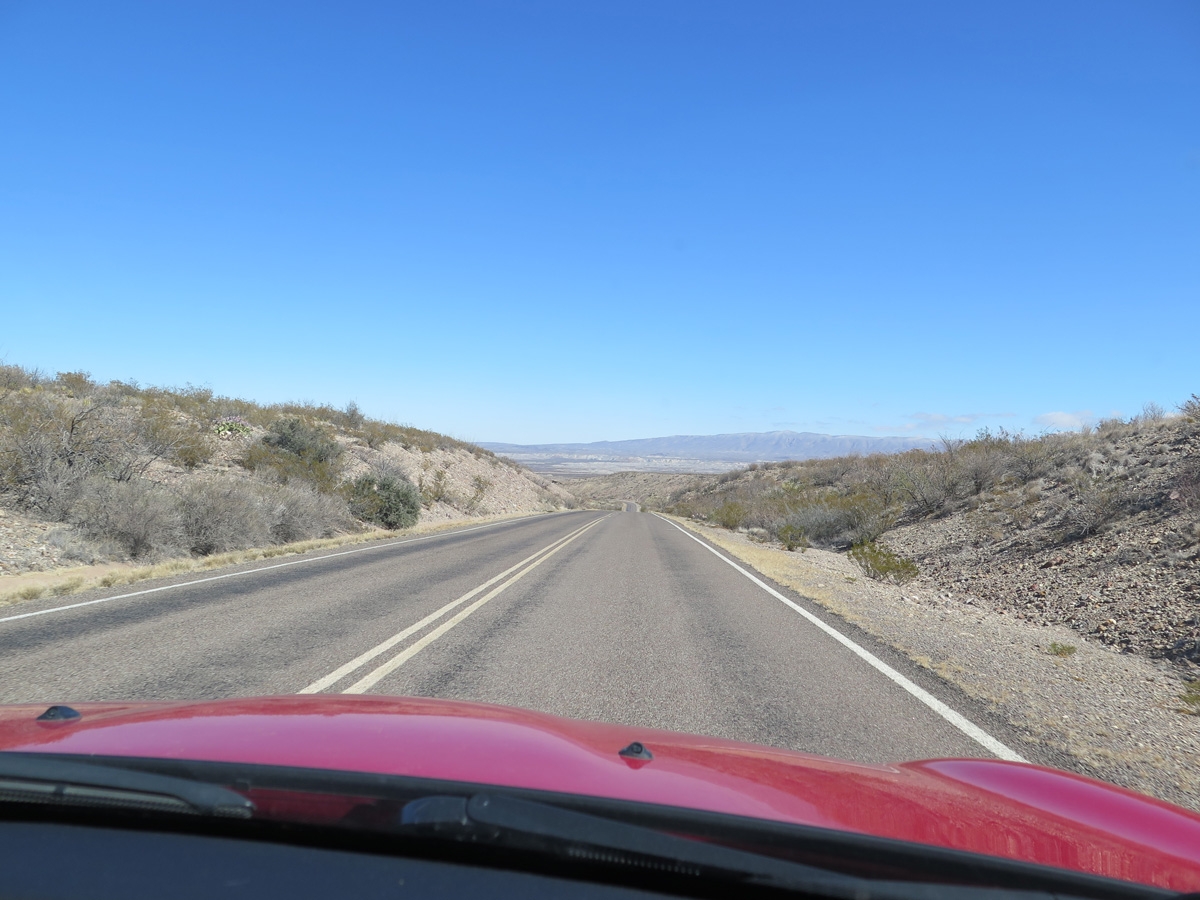
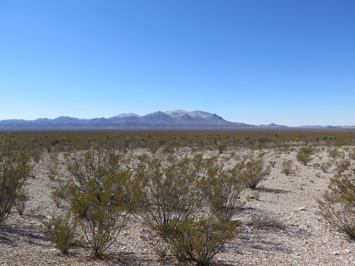
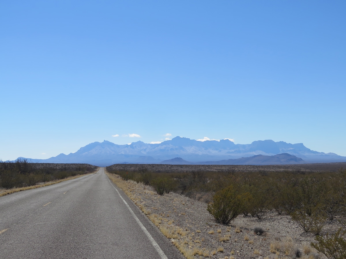
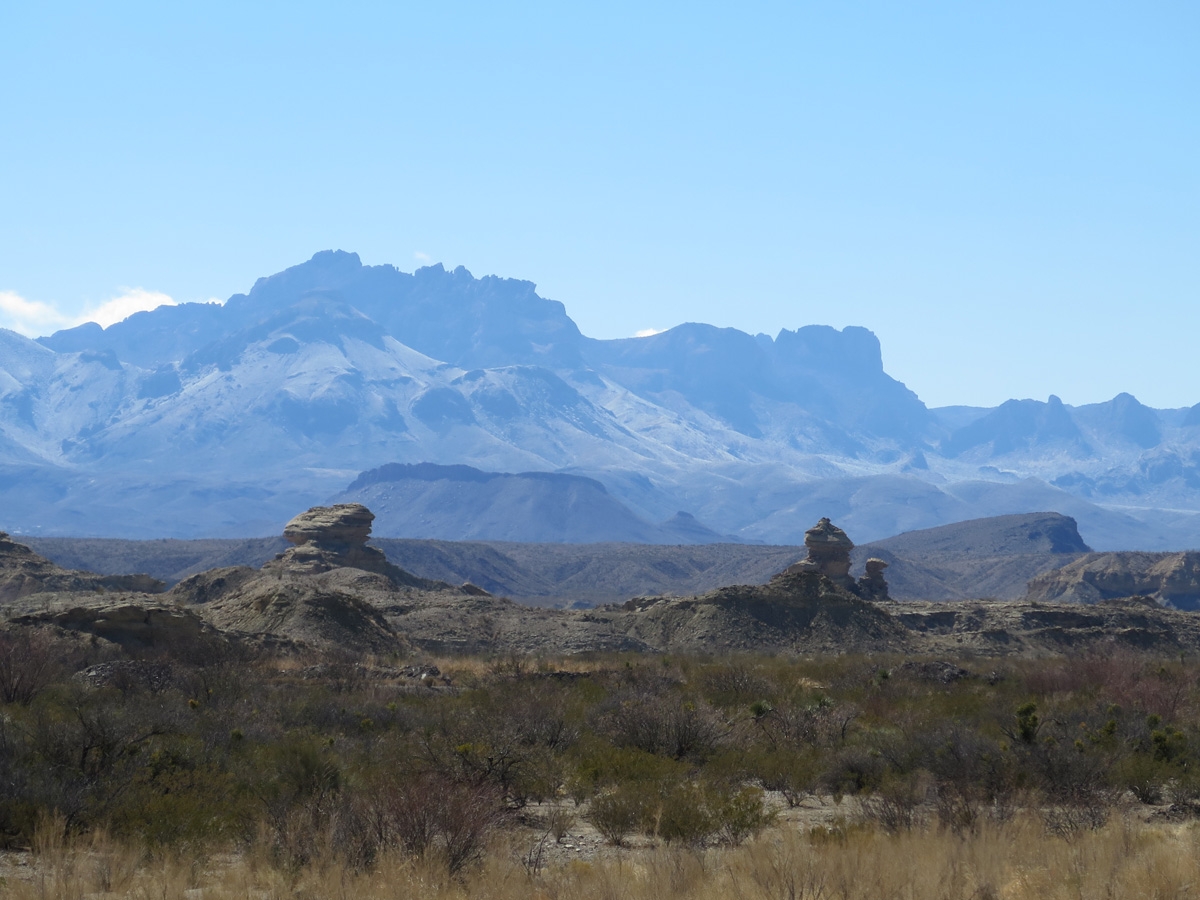
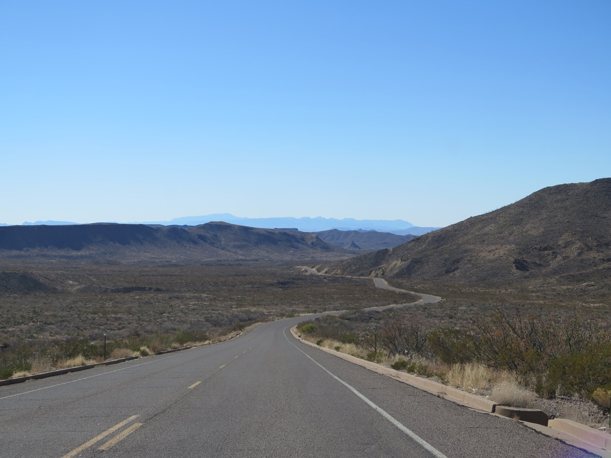
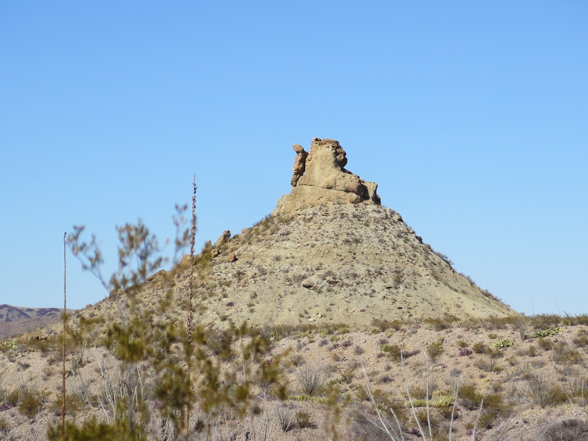
The park looks pretty small on the map I shared above, right? Relative to the state of Texas, it is kinda small. But Texas is a huge state. It’s hard to imagine just how big this place is until you are here.
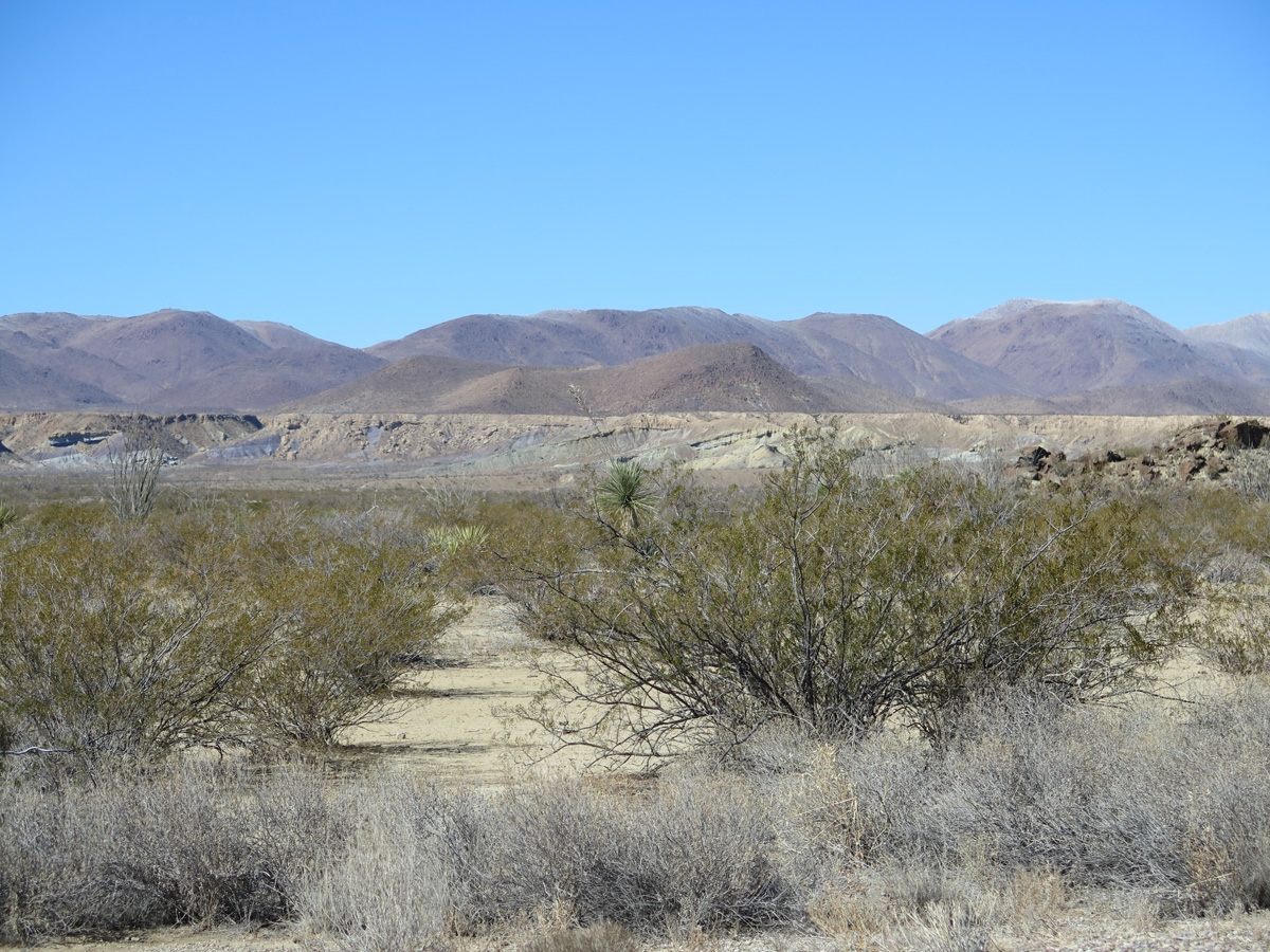
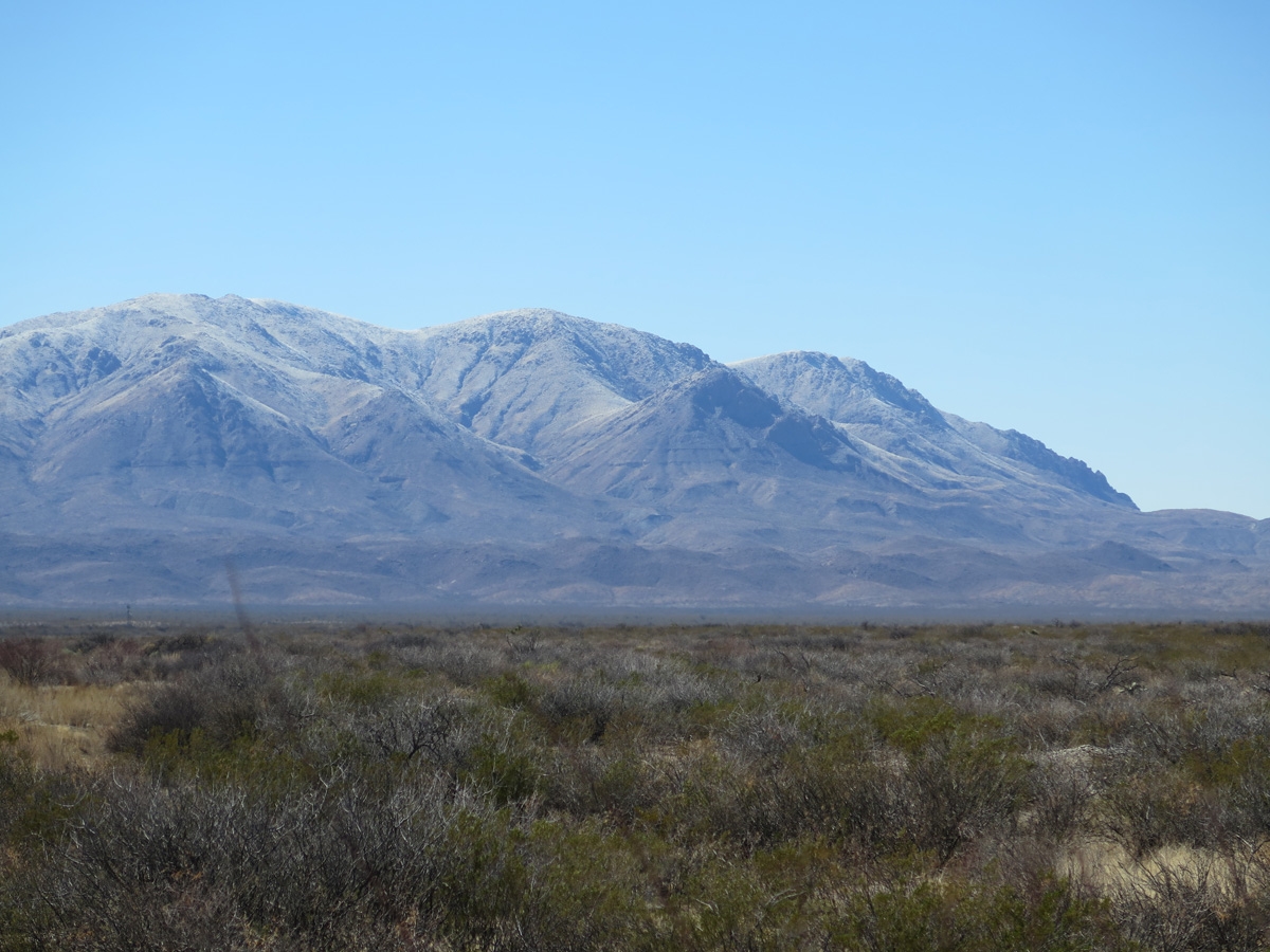
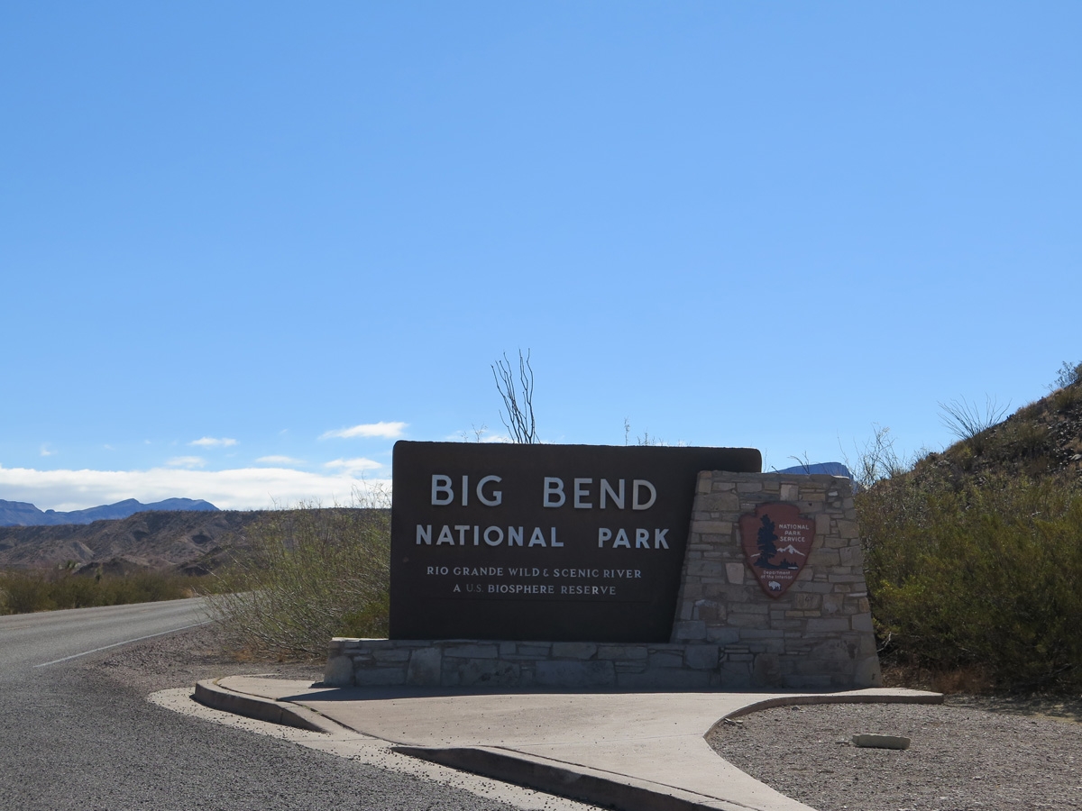
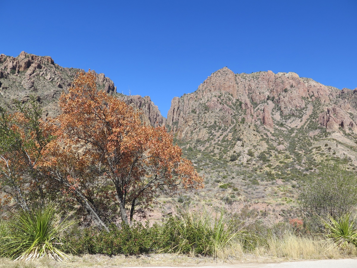
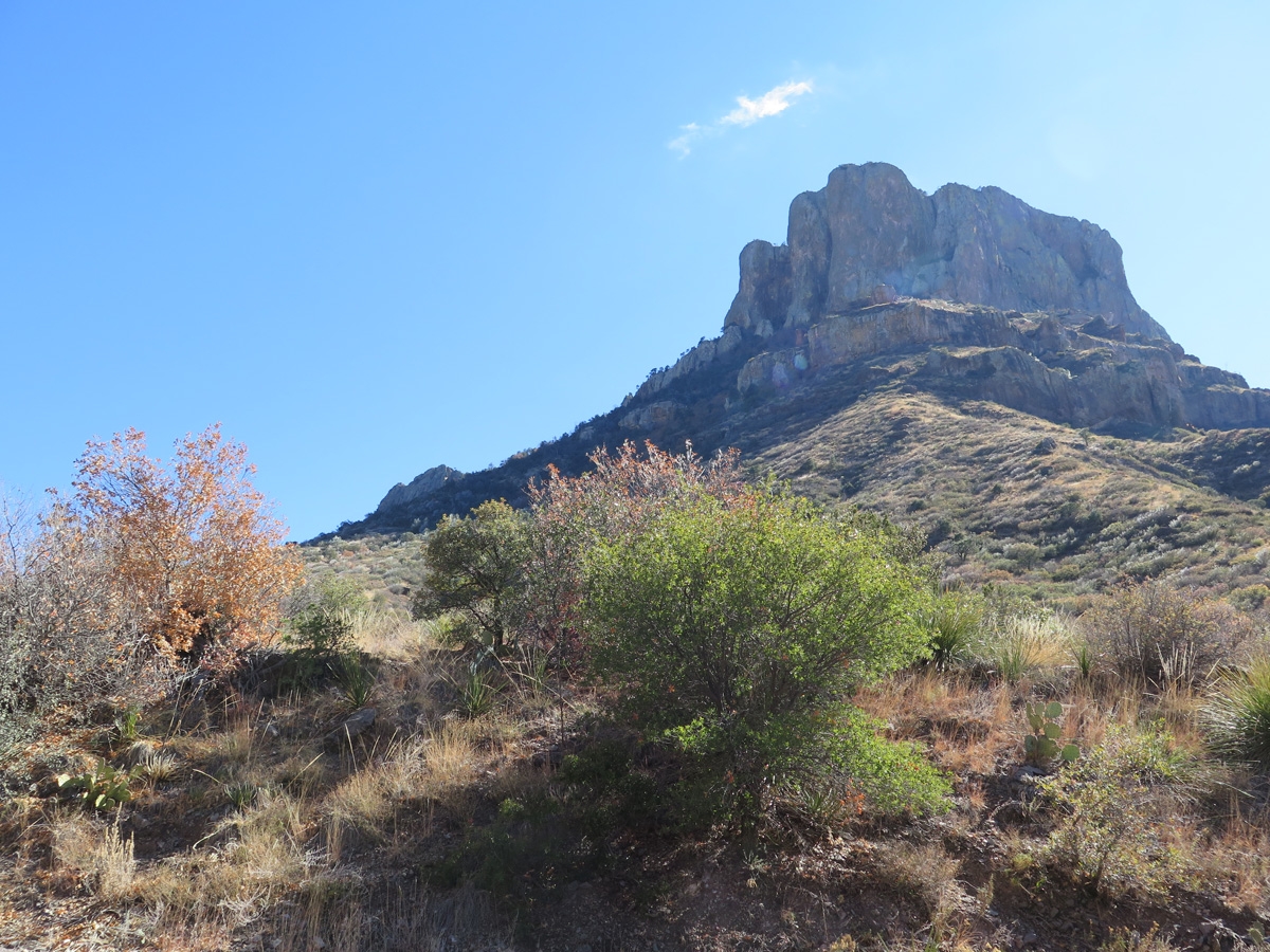
One of the unique features of BBNP is that it has its own mountain range, the Chisos Mountains. As noted on Wikipedia, “The mountain system covers 40 square miles (104 square km) and is contained entirely within the boundaries of Big Bend National Park, making it the only mountain range in the United States fully contained within a national park.”
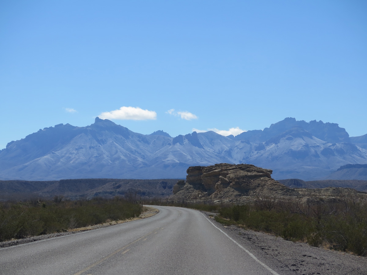
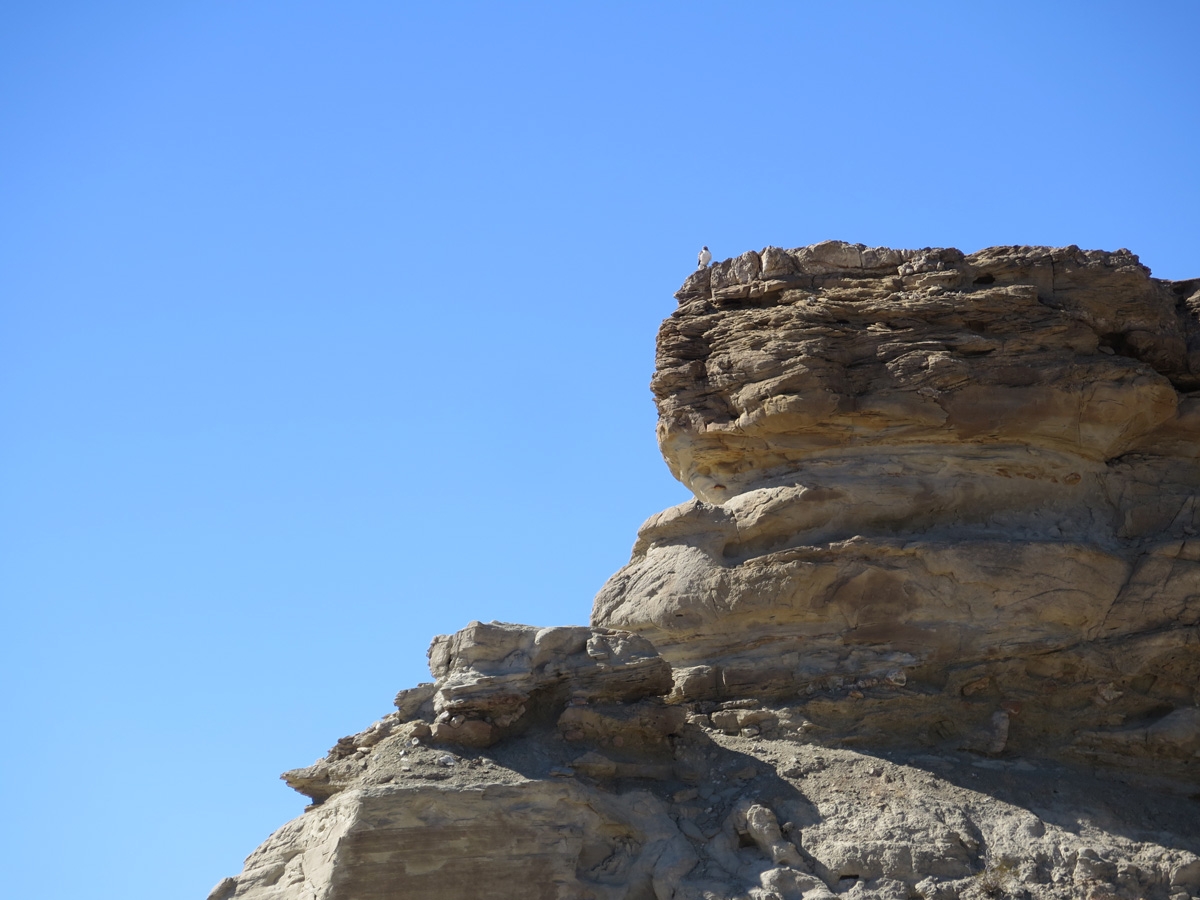
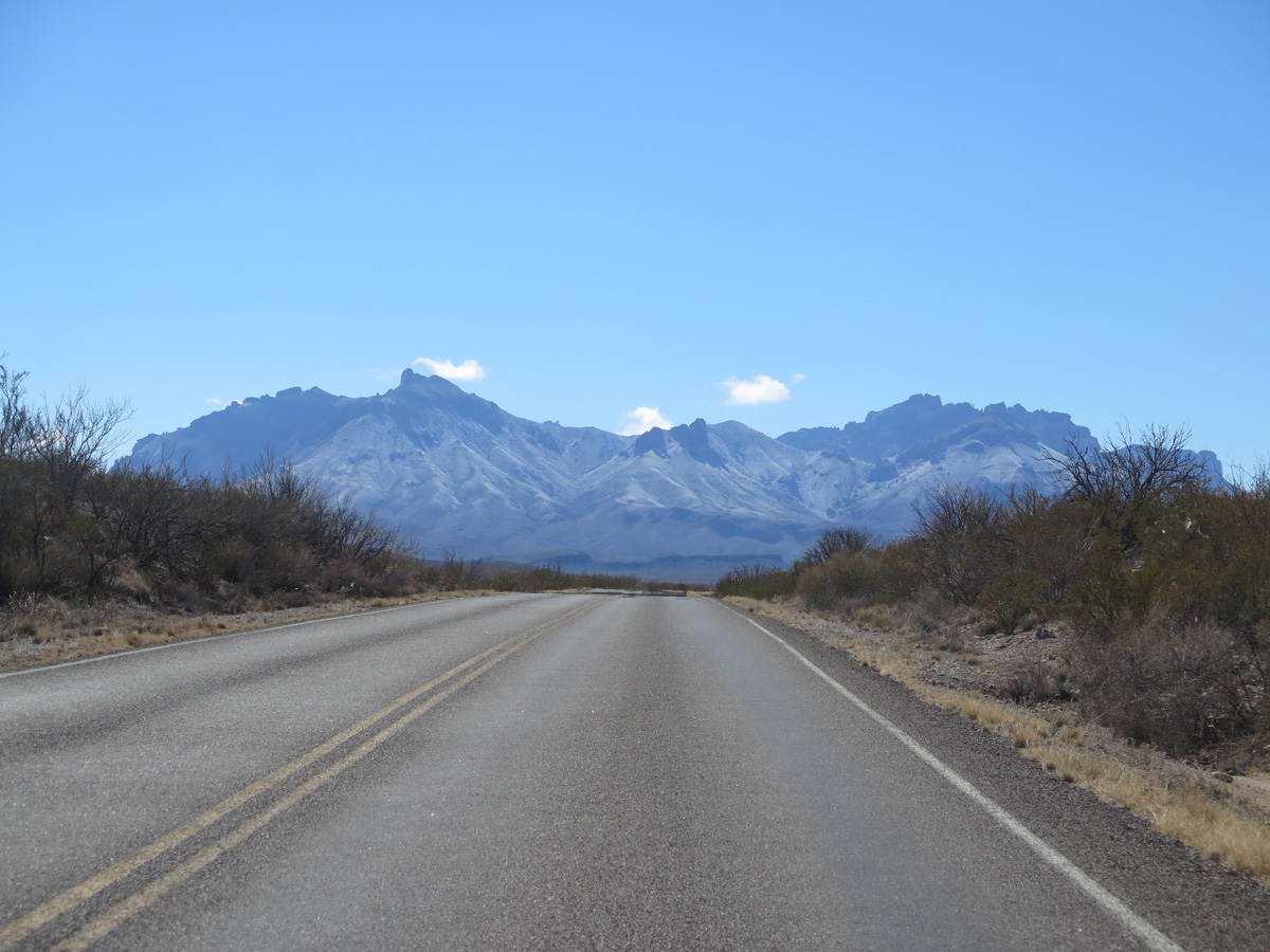
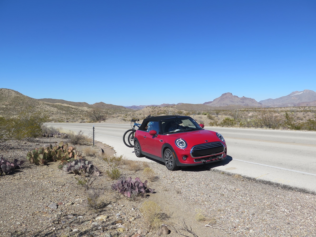
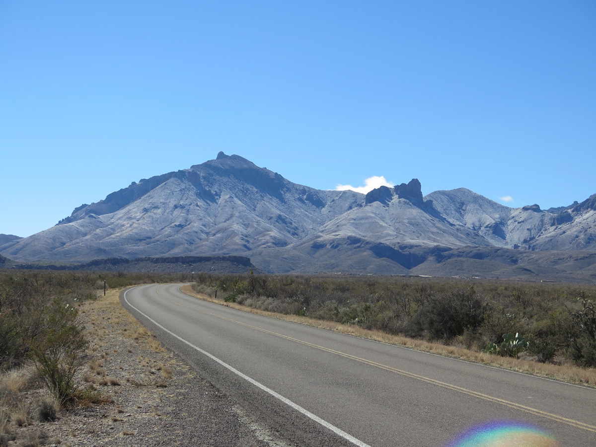
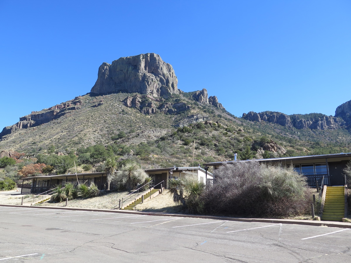
As we were headed back in the direction of camp, we decided to dip south into the Chisos Mountain Basin. Many of the following images were captured there.
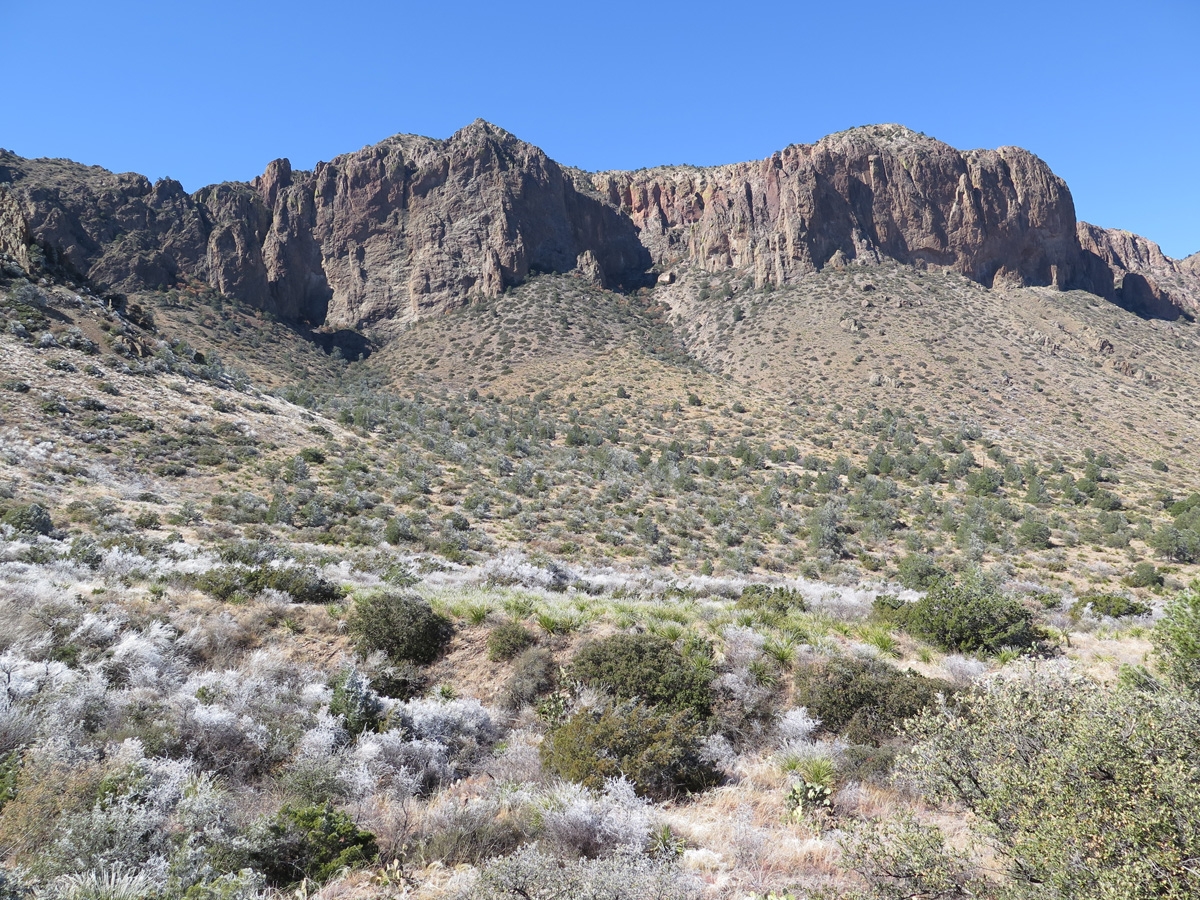
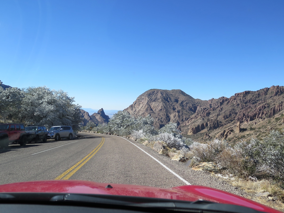
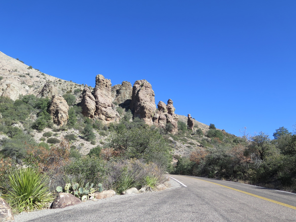
I actually captured quite a few more images as we drove up into the Chisos Basin. As it turns out, the atmospheric conditions yesterday were just right for a rare — once, maybe twice per year — hoar frost to settle on some of the vegetation. It was amazing to see.
My next post will feature pics showing the hoar frost we saw in the Chisos Mountains.
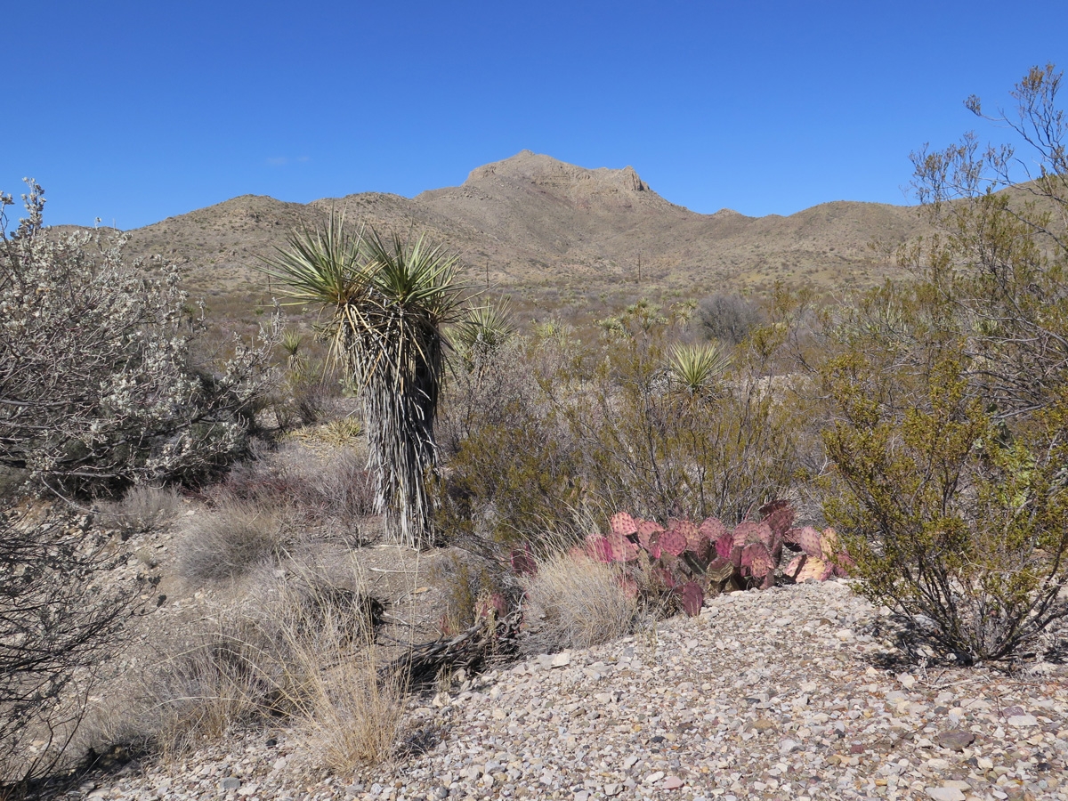
Beautiful! I know not everyone appreciates desert beauty, but I sure do! And re: the pink/purple Cactus, this is from one of many landscaping websites:
“A purple color in cacti is caused by cool and dry conditions. Turning purple is the plant’s way of responding to environmental stress. Succulents, agave, and aloe varieties also turn reddish, burgundy, or purple when exposed to stress.”
Thanks, Lynne. Mike and I both find the desert breathtaking to look at but can’t imagine being here in the summer. The scenery is incredible— so many cool rocks! — and the vastness is almost incomprehensible especially considering how small this area appears on maps! We drove through the state park yesterday, and that was phenomenal, too!
Totally agree summer in BB would be a no, but I feel that way about the rest of TX too!