So, we are almost ready to leave Las Cruces, New Mexico and I am still not finished sharing pics from Big Bend/Terlingua, Texas.
I have just above zero motivation to use my computer these days. I think I am still recovering from the trauma of my last job! Funny, not funny.
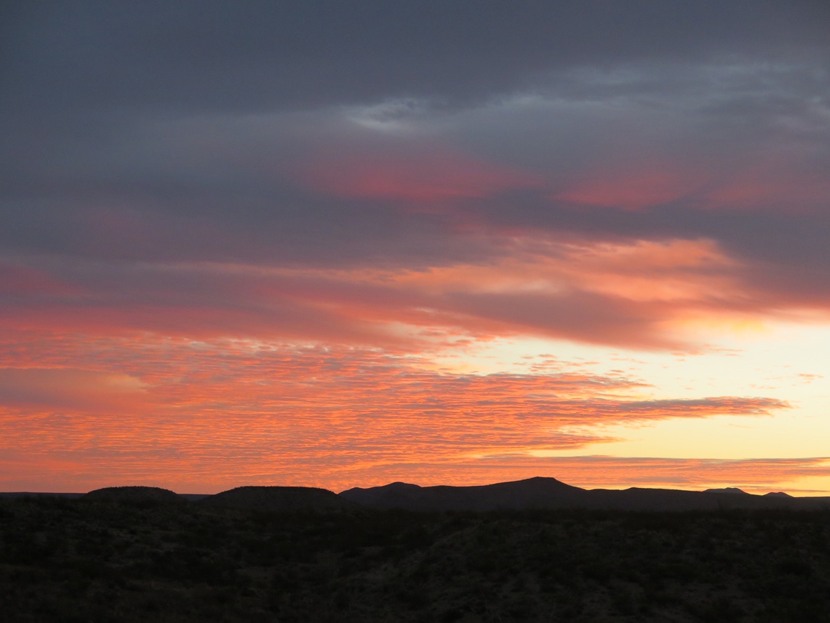
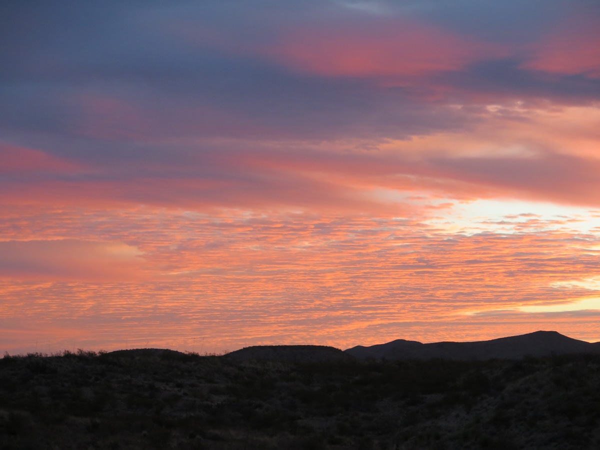
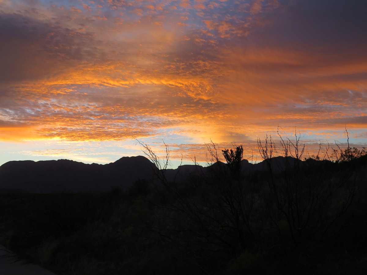
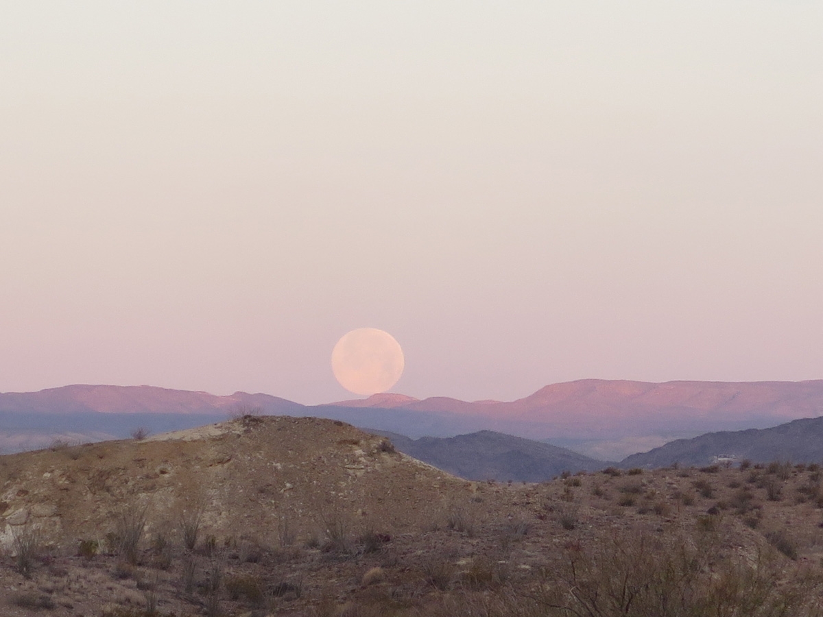
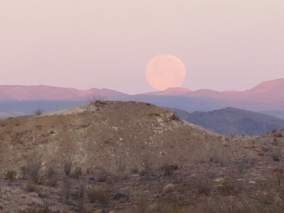
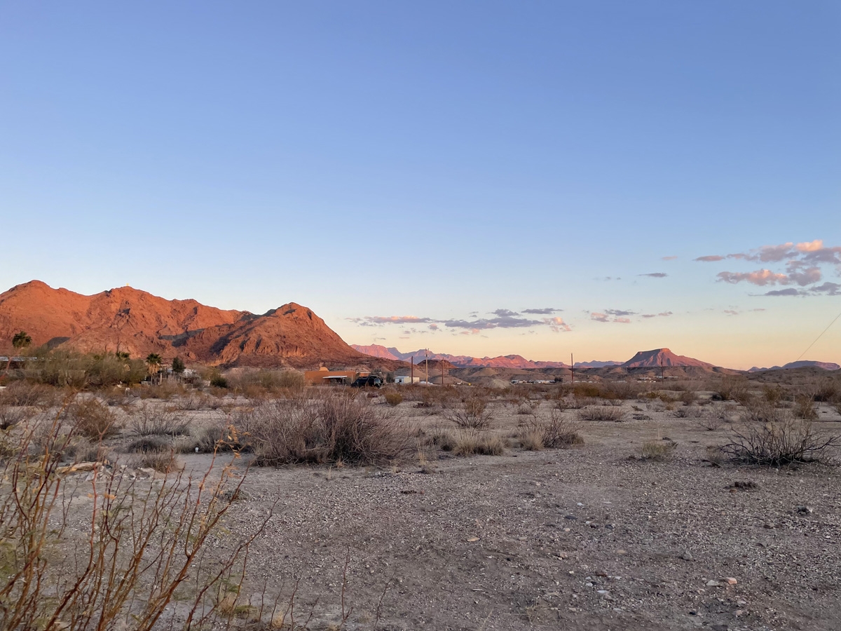
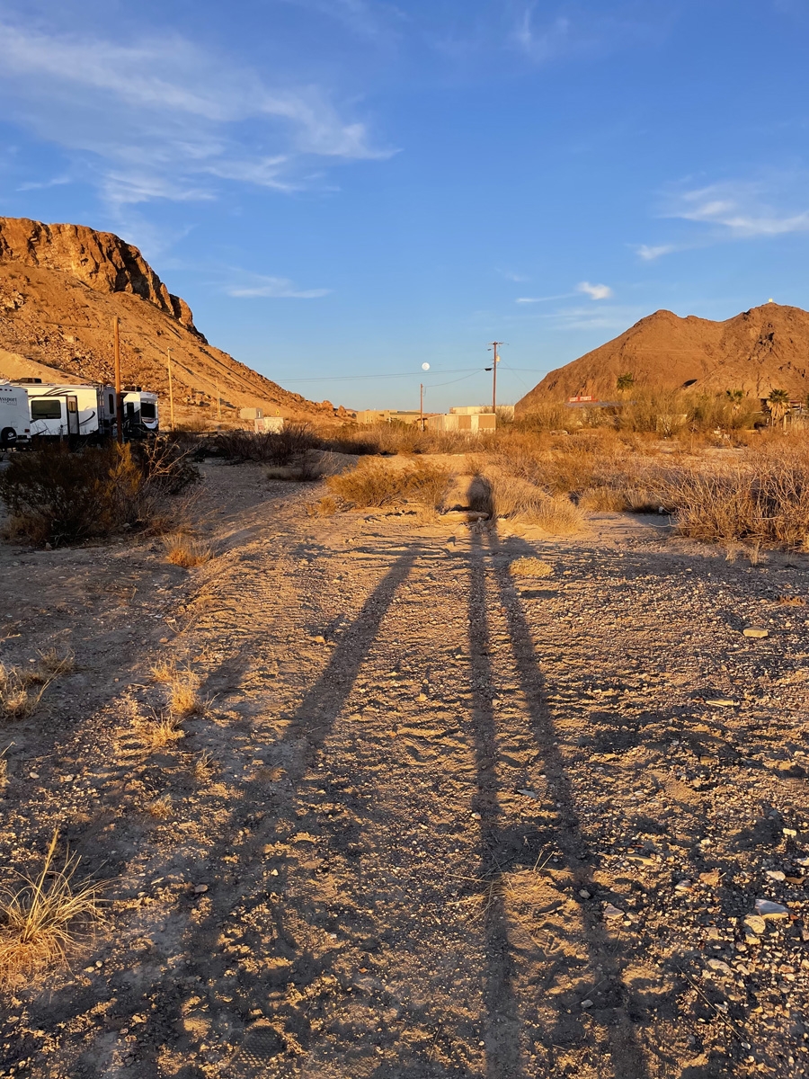
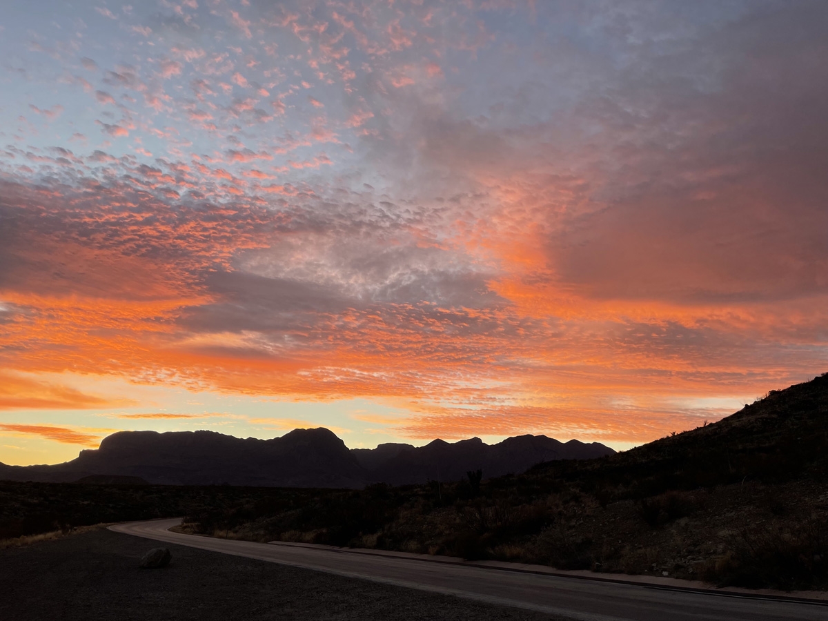
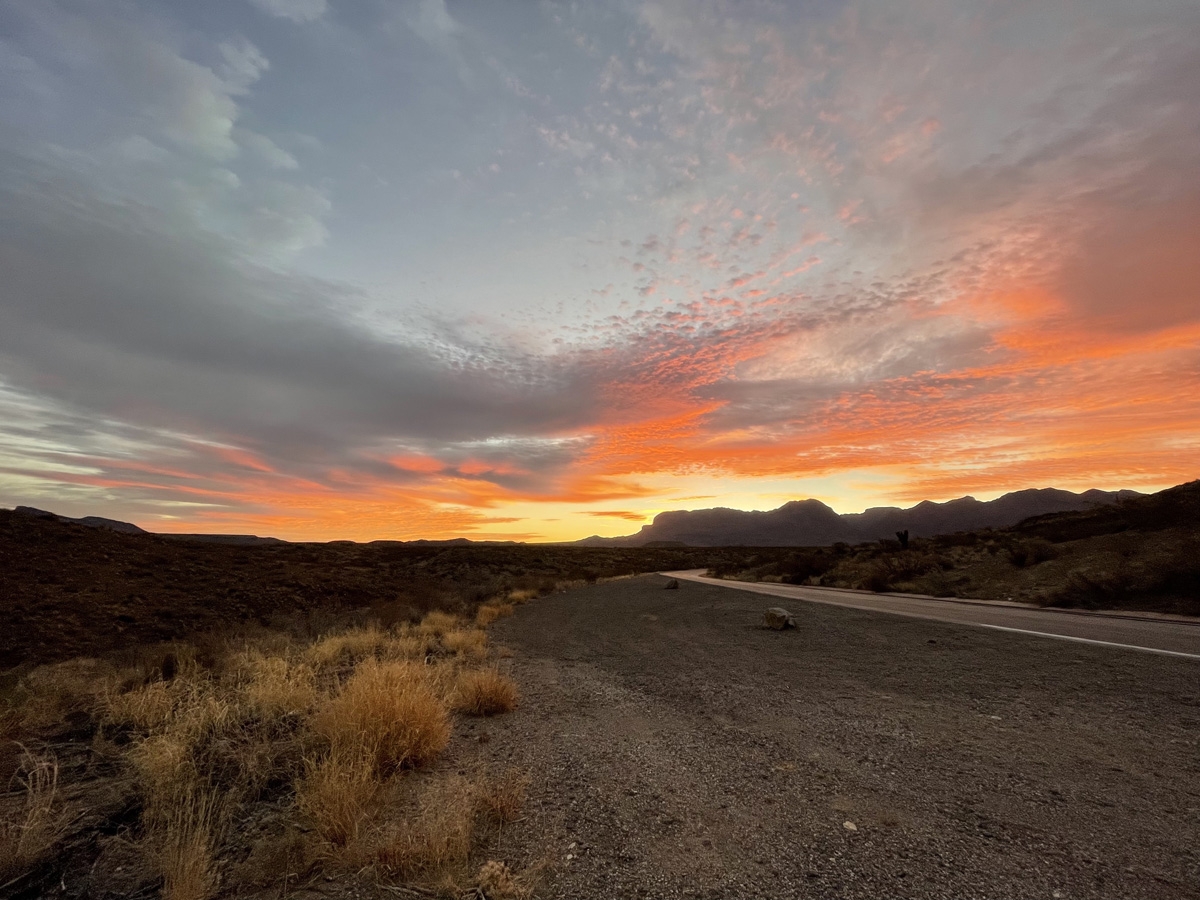
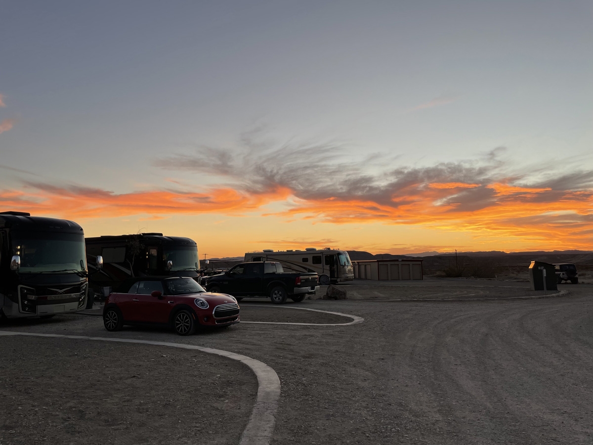
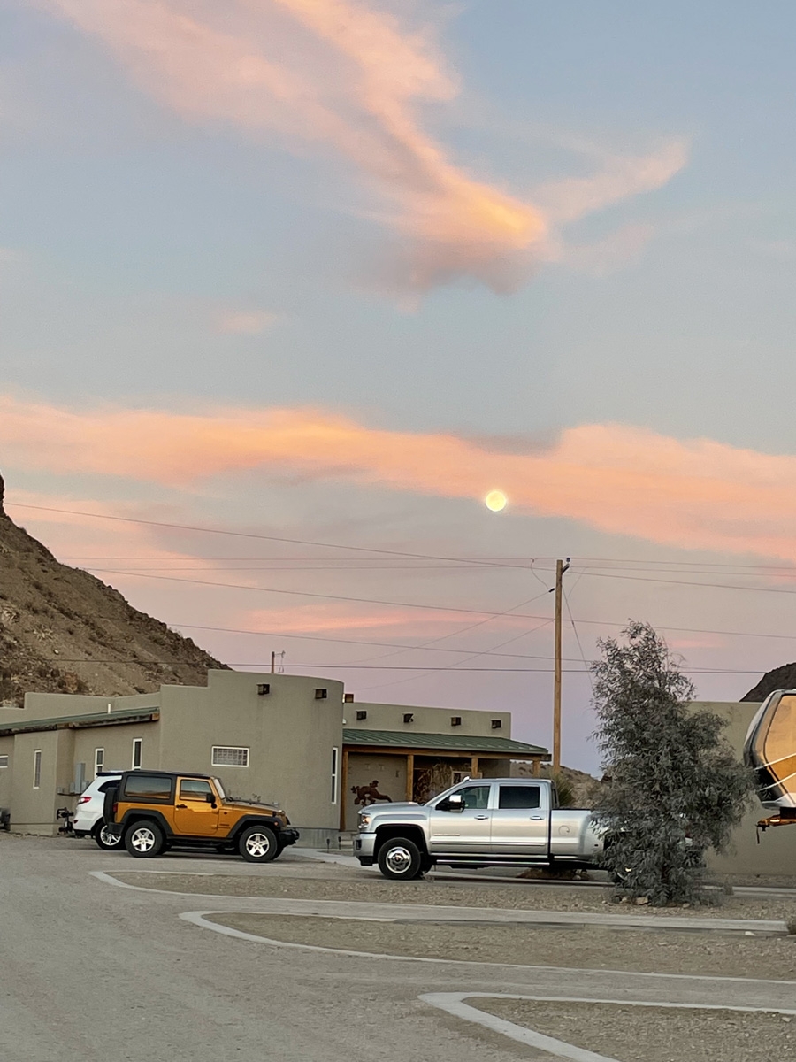
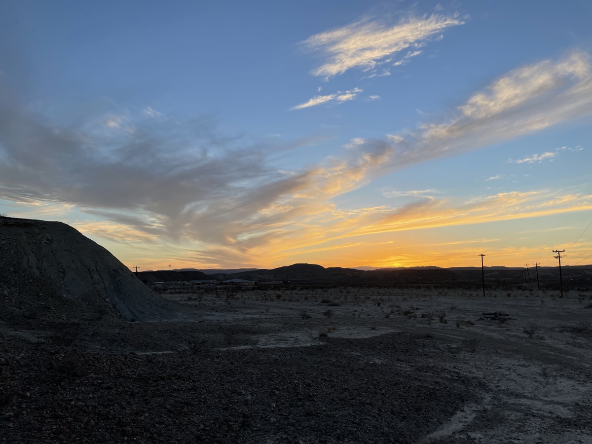
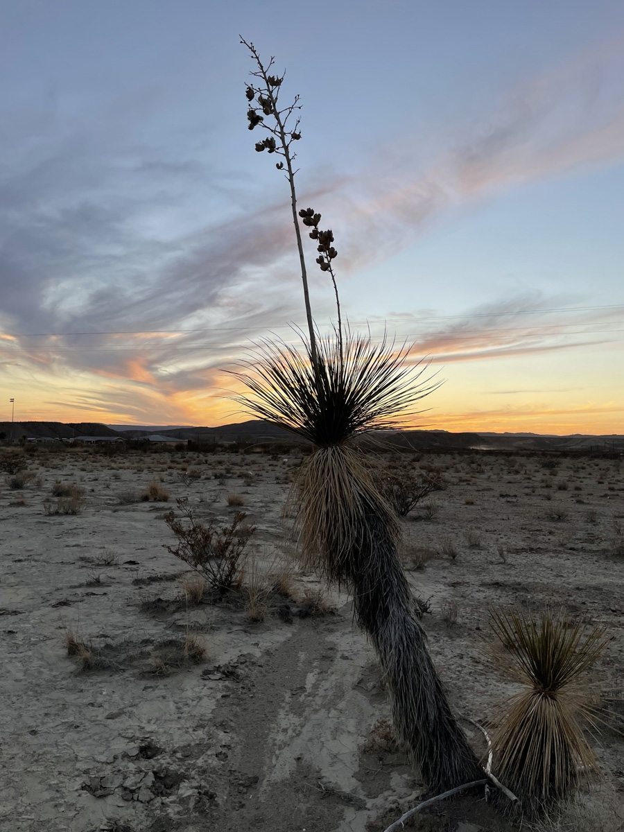
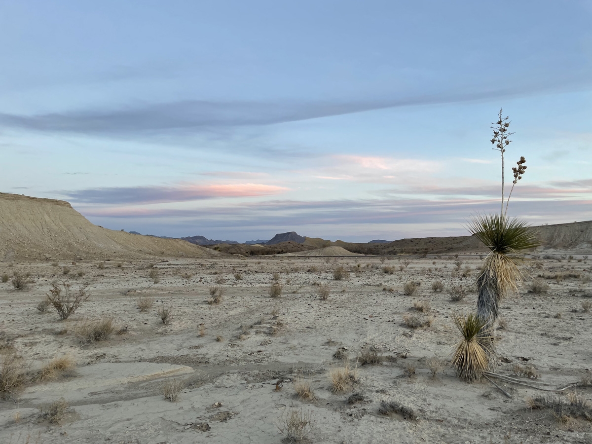
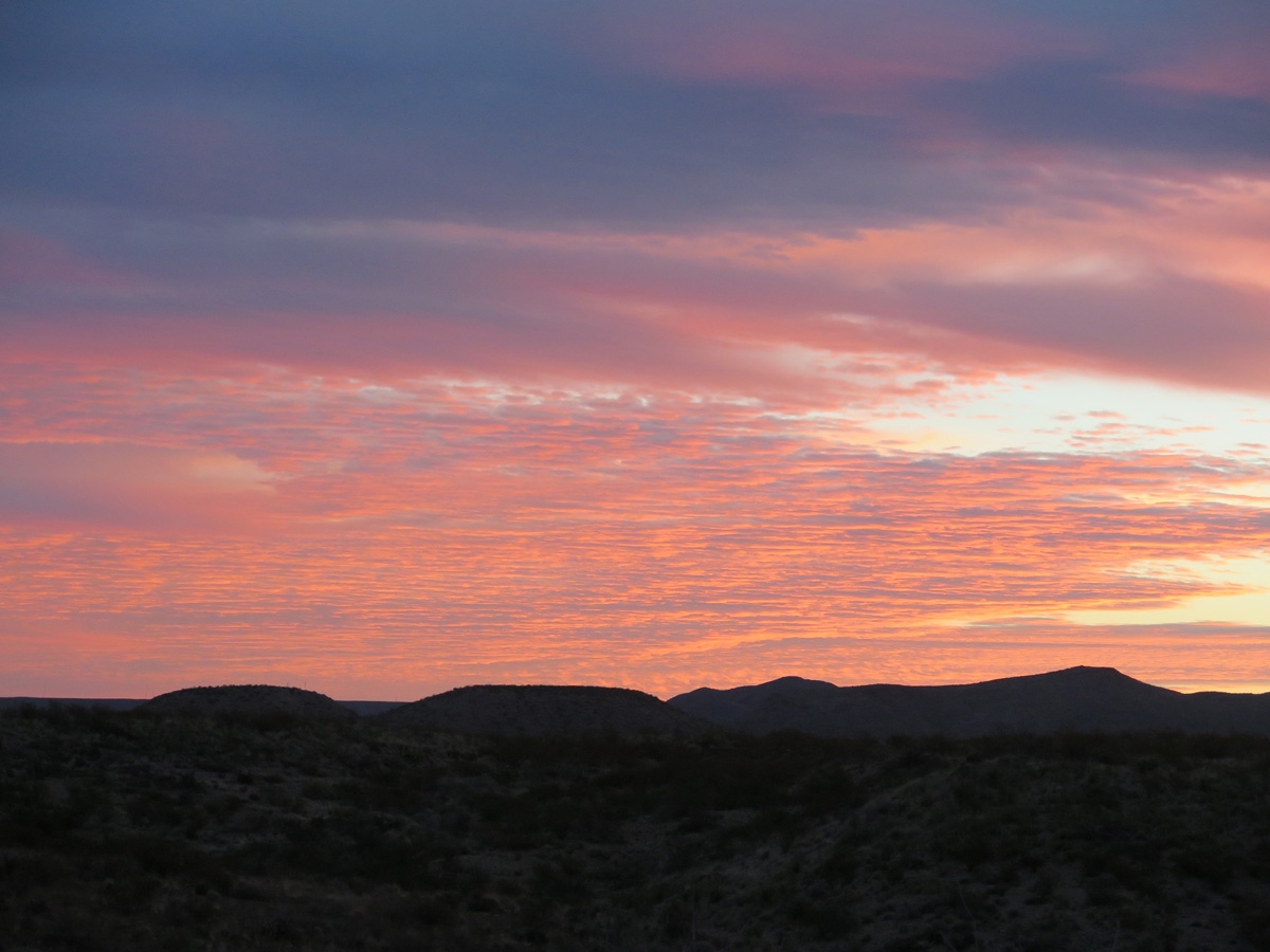
Anyway… the coolest thing about our camping spot in Terlingua, Texas, just outside the Maverick Junction entrance to Big Bend National Park (BBNP), was that we had a pretty good 360 degree view of the sky. So we could see moonrises and sunrises as well as moonsets and sunsets. It was pretty awesome.
The next two images are moonsets.
Terlingua is a great jumping-off spot for visiting BBNP. If you decide to visit BBNP and don’t have an RV, or have a small RV or tent, look for lodging at the Chisos Mountain Lodge or Campground. You will not be disappointed.
One of the weirder things about RV life is that the days can sort of blend together. Maybe it’s not RV life as much as retirement life. It’s my fault, I believe, as my days don’t really have any structure. I’m okay with that most days. Until I think about the fact that we’ve been in three different campgrounds since we left the Big Bend area on February 25 and I STILL haven’t finished sharing pics from Big Bend.
In case there are new folks reading, we recently spent 24 nights camped outside of Big Bend National Park (BBNP) in Terlingua, Texas. BBNP is one of the bigger, more iconic national parks in the US national park system, and for good reason. It’s in a pretty remote location in West Texas on the border with Mexico. It’s a vast, magical place in the Chihuahan Desert.
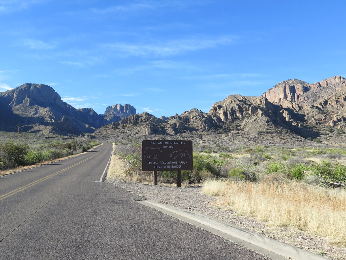
Dogs are not allowed on any of the trails at BBNP. That wouldn’t be an issue for us if Belle was okay with being left alone in the RV. Alas, she is definitely NOT okay being left alone. Rather than both of us missing out on some of the things we wanted to do in the park, we decided to each take turns going into the park to do some of the things we wanted to do.
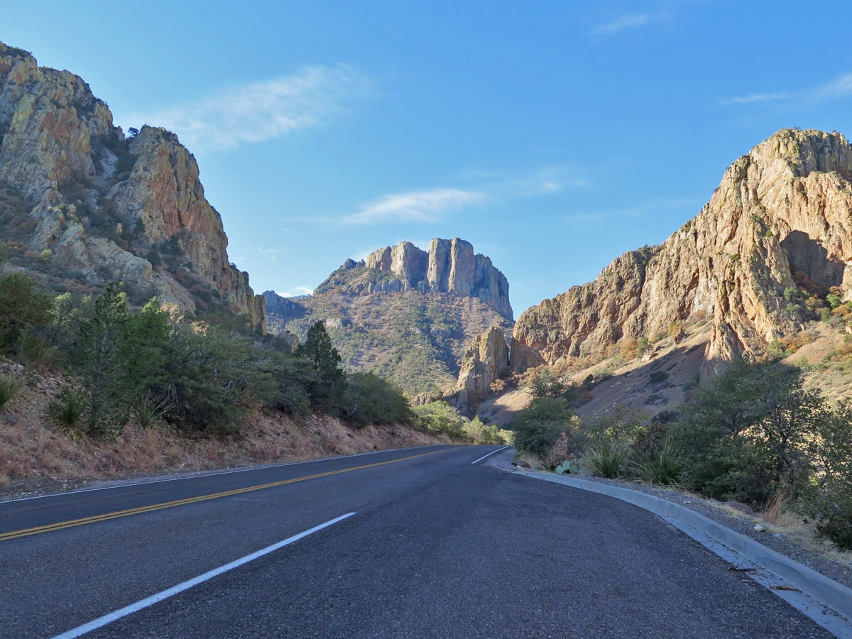
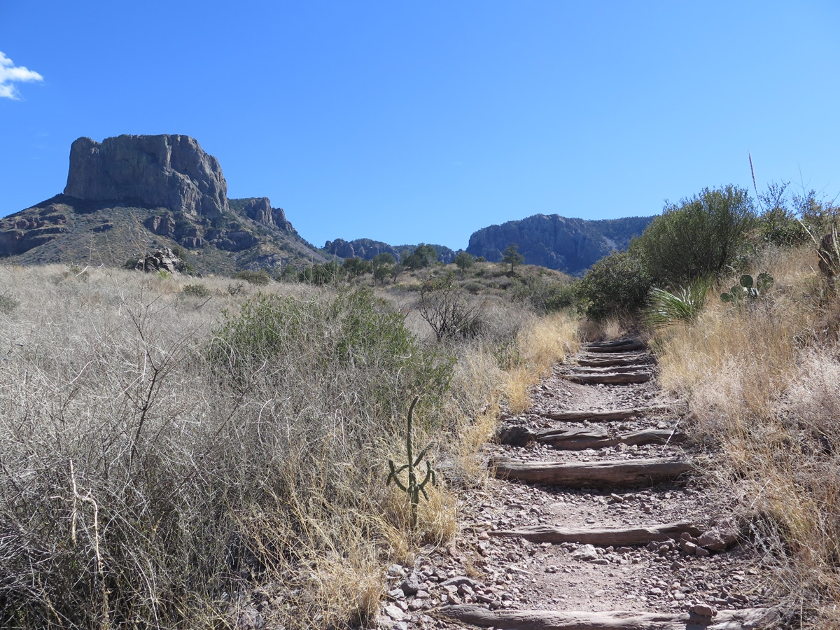
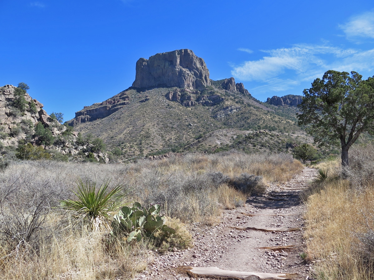
One of things I really wanted to do was hike. So, for my first solo excursion, I chose to drive into the Chisos Mountains and hike to The Window. (My friend, Lynne, says “La Ventana” [Spanish for The Window] sounds much more romantic. I agree, but the hike is publicized as The Window in all the park brochures, so I’ll stick with the English label.)
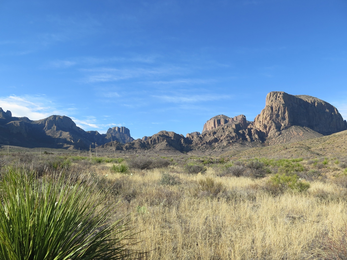
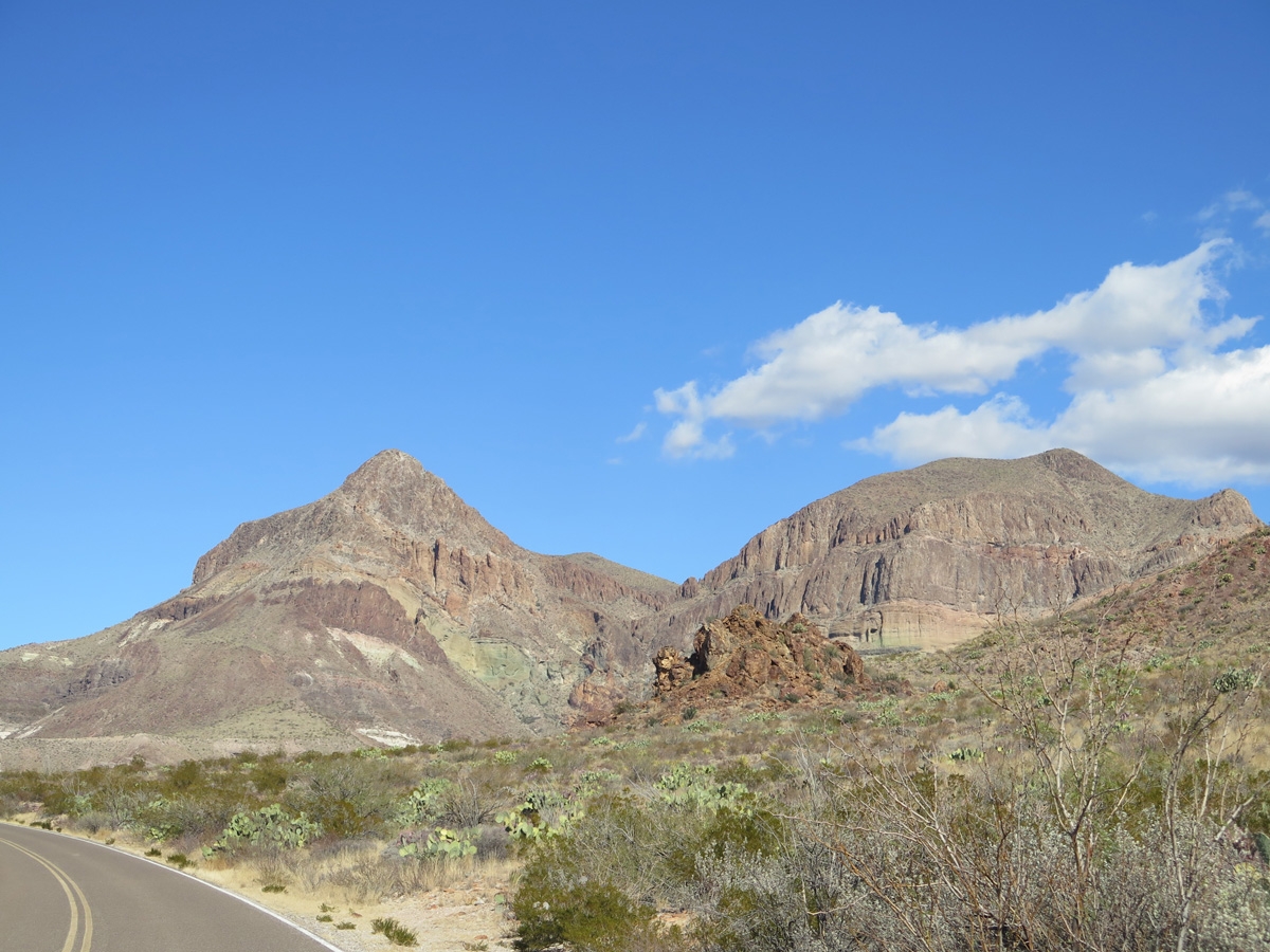
Chisos Mountains
As I mentioned in a previous post, one of the more-unique features of BBNP is that it has its own mountain range, the Chisos Mountains. As noted on Wikipedia, “The mountain system covers 40 square miles (104 square km) and is contained entirely within the boundaries of Big Bend National Park, making it the only mountain range in the United States fully contained within a national park.”
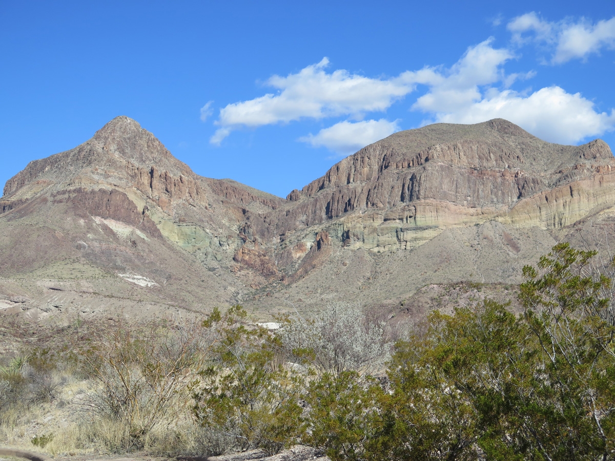
It’s a beautiful spot.
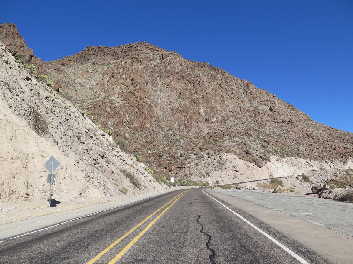
Heading into the Chisos Mountains. I did not see any bears or mountain lions.
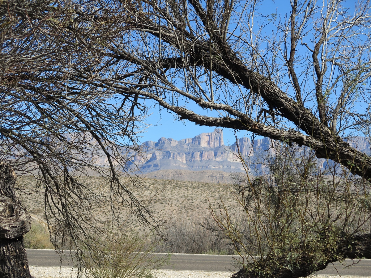
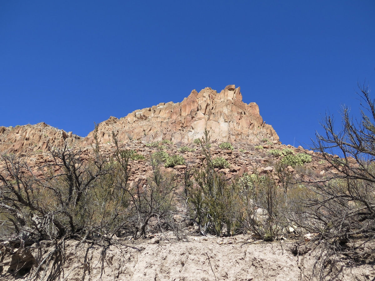
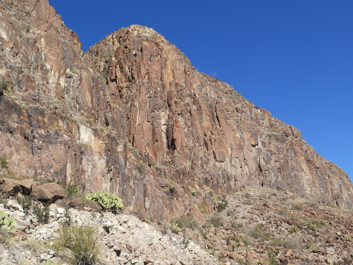
Closer look at the rugged Chisos Mountains.
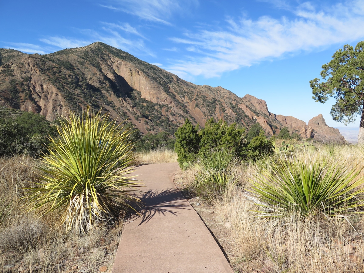
On our previous quick visit to the Chisos Mountains, I’d heard the volunteer at the visitor’s center talking about the Window View Trail, which is an easy, 0.3 mile round trip, paved and wheelchair accessible trail that circles a low hill and features excellent views of the mountain peaks surrounding the Chisos Basin as well as a view through the distant window.
Window View Trail
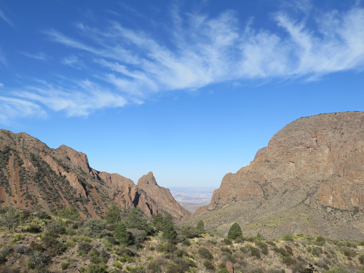
The Window as seen from the Window View Trail.
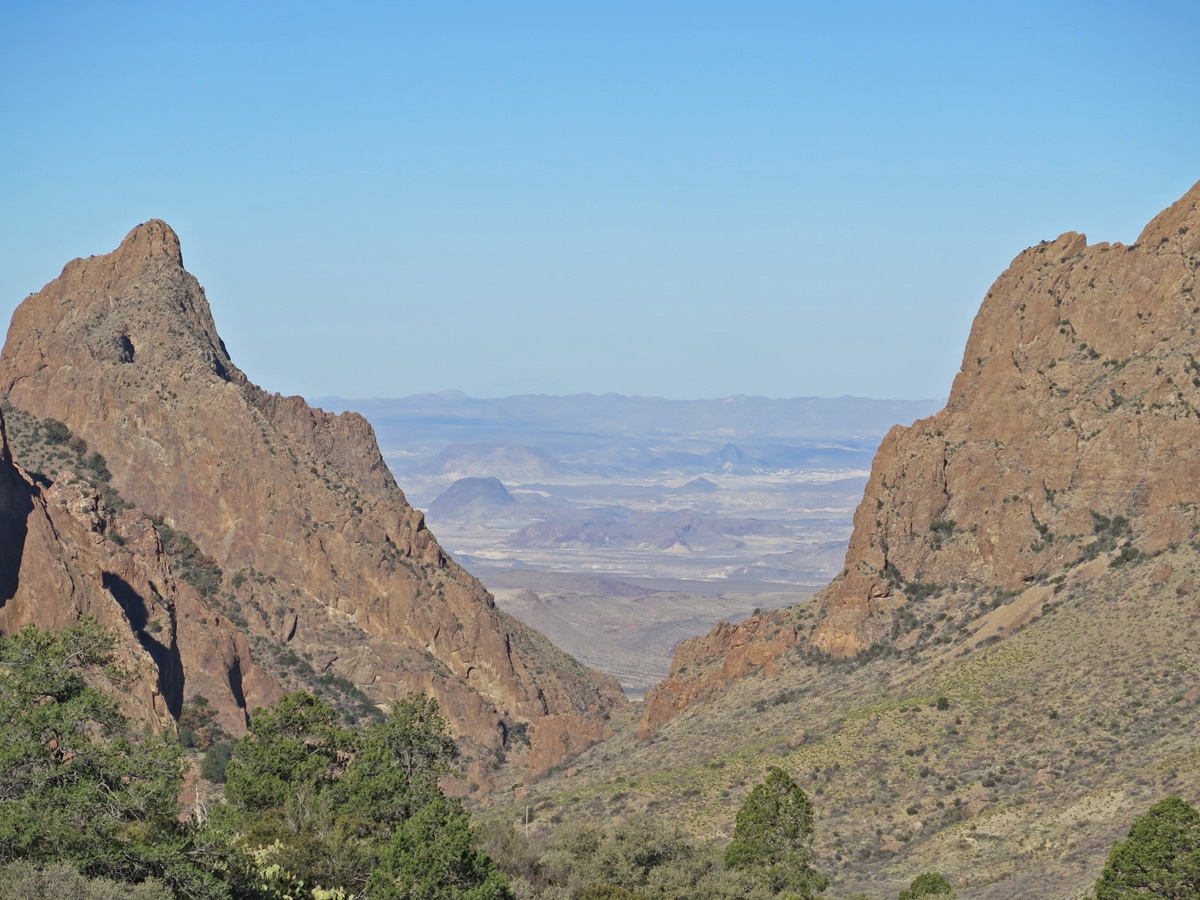
Zoomed-in view of The Window from the Window View Trail.
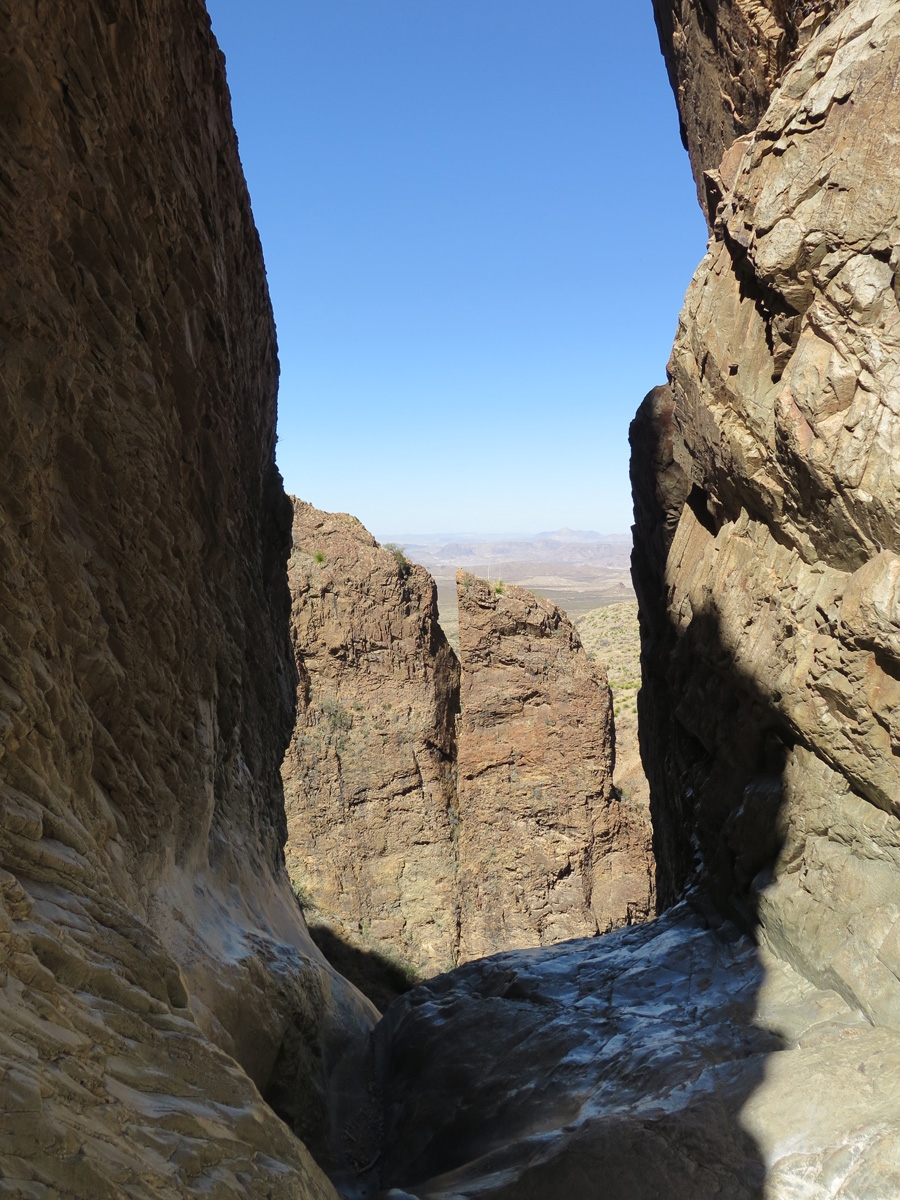
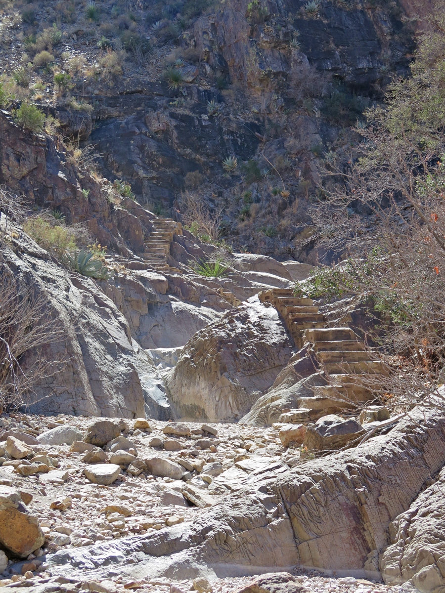
I explored the Window View Trail first. It took all of about 15 minutes, including photos! That’s when I decided to do the Window Trail. It’s rated moderate, has a distance of 5.6 miles round trip, and descends 900 feet through Oak Creek Canyon to the Window pour-off, framing panoramic desert vistas. During wetter periods, a creek actually flows through the canyon and must be crossed several times. Hikers are warned to use caution on the trail as the top of the Window pour-off is slick rock with no railings. The entire Chisos Basin drains into Oak Creek and out through the window. The sand and gravel carried by the water is what caused the rock to be so smooth and slick.
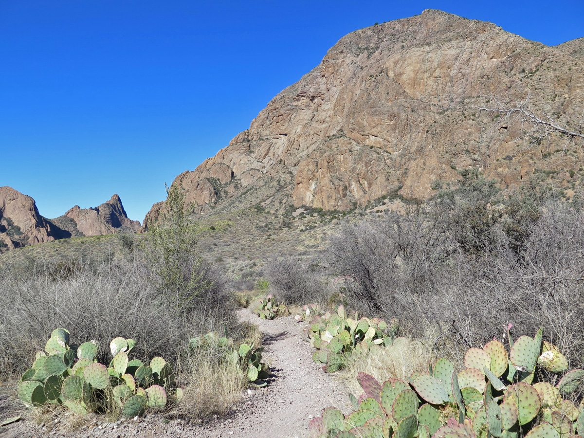
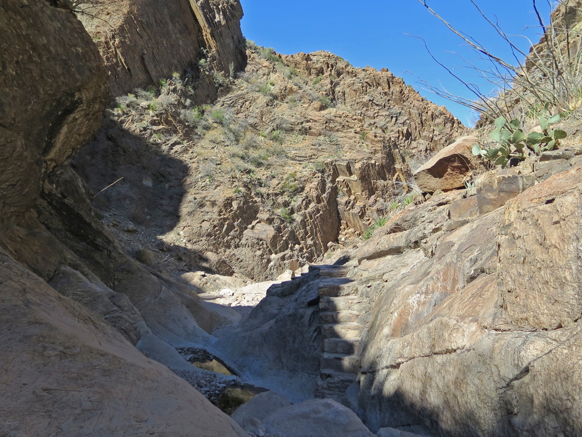
Heading down toward The Window.
Footing on the trail was a little rough at times. I was glad I was wearing hiking shoes. Fortunately, there were “steps” worked into the trail to make the descent easier. I took my good, sweet time and paid attention to my footing the whole way down.
Views along the Window Trail. (See the log “step” in the trail?)
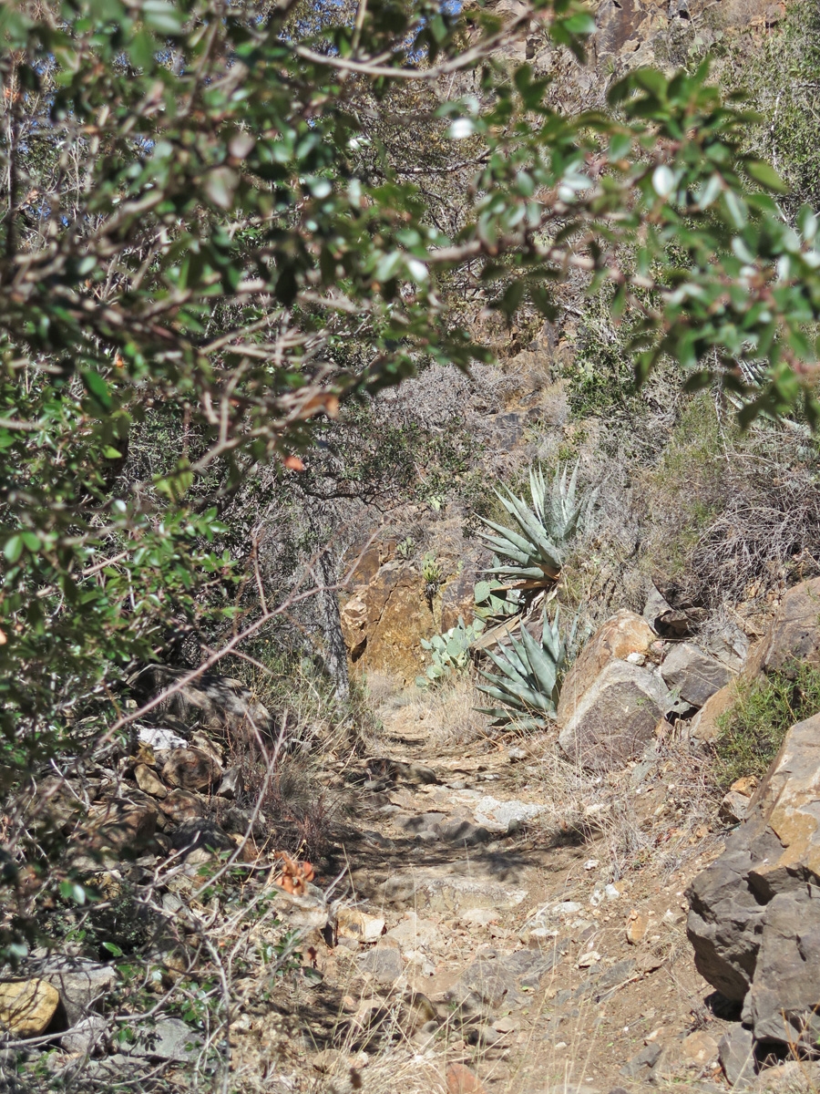
I so enjoyed getting a closer look at the mountains and all of the desert vegetation along the way.
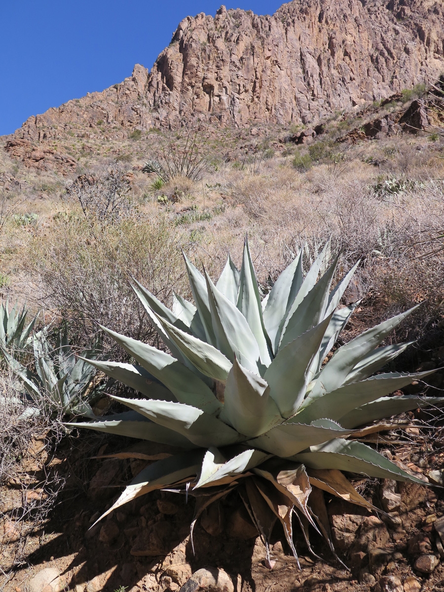
Large Agave plant.
That Agave was at least three feet (roughly one meter) wide and tall.
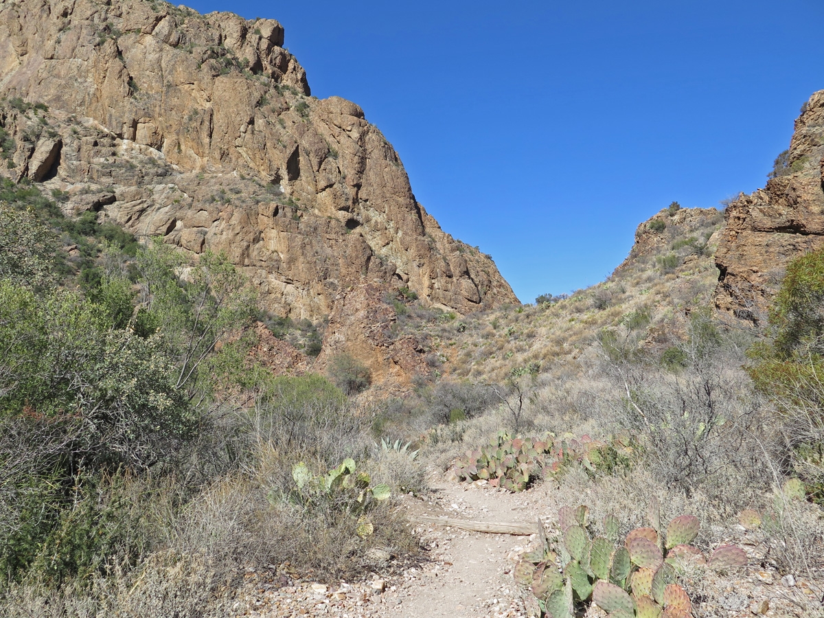
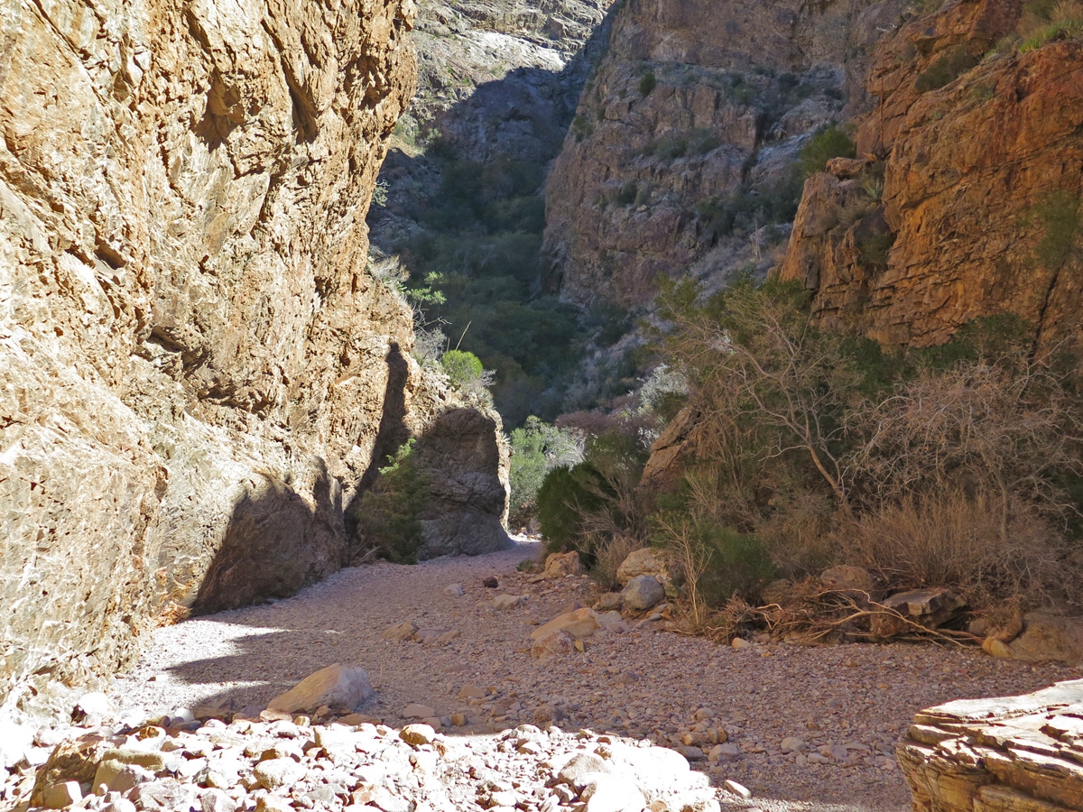
Heading into the canyon.
The closer I got to The Window, the more the trail started to feel like I was walking through a canyon.
There seemed to be more vegetation in the canyon, which makes sense since that’s where the creek flows (in wet seasons).
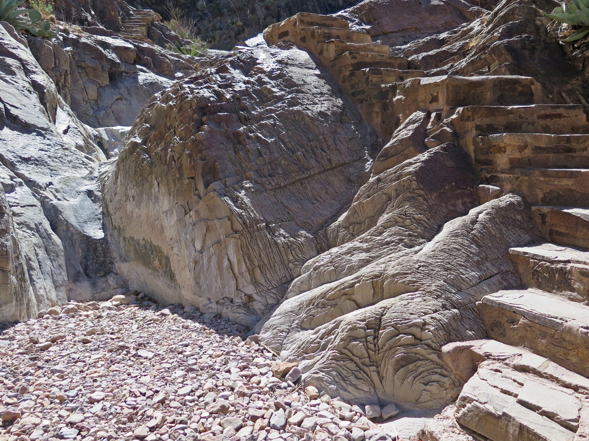
I really enjoyed seeing the signs of erosion as I walked through the canyon. What an impressive sight it must be to see the creek flowing after a heavy rainfall!
The rocks were really impressive in the canyon.
Actual steps have been cut into the canyon walls in various spots to facilitate easier and safer passage for hikers.
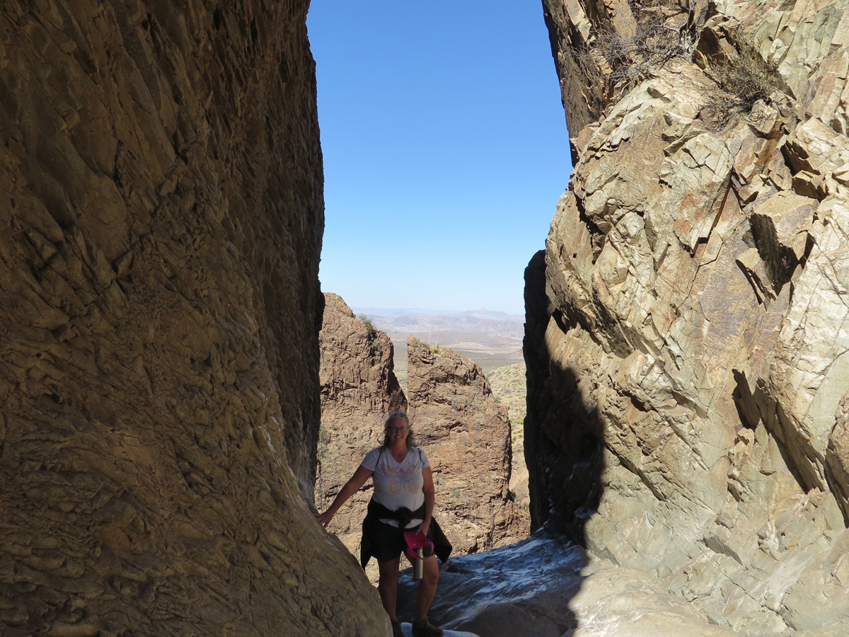
Me in The Window.
The canyon walls were probably about 100 feet tall on either side of The Window. The rock looks shiny at the bottom because it’s been worn very smooth by sand and rocks carried in the basin runoff.
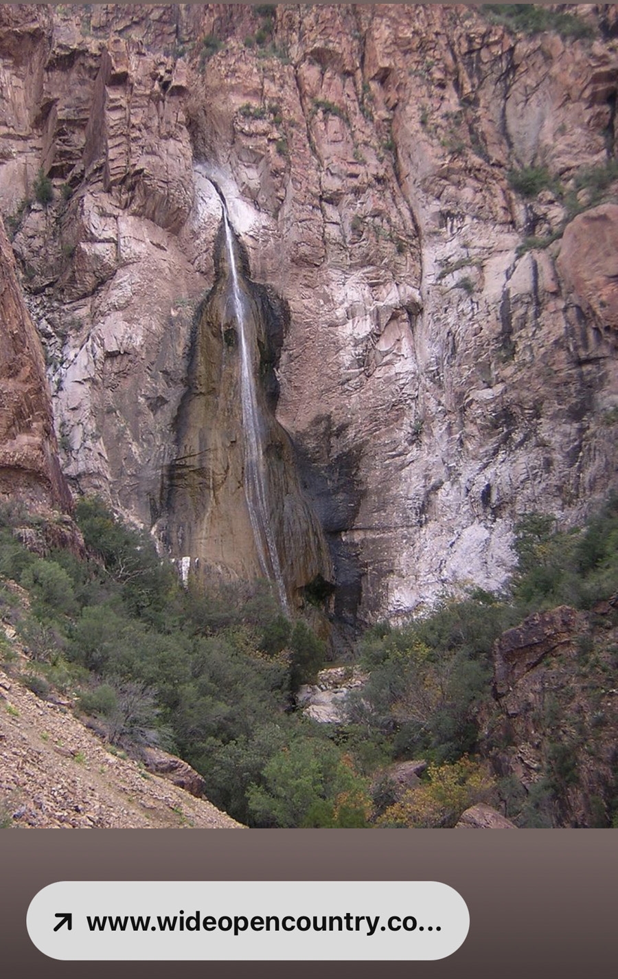
It was such a cool spot. I couldn’t help but wonder what The Window looks like from the other side. I used Google when I got back to camp and found this image.
The Window as seen from outside of the Chisos Basin. (Photo credit to wideopencountry.com.)
After taking some pics and admiring the view, I ate my lunch then started the return trek.
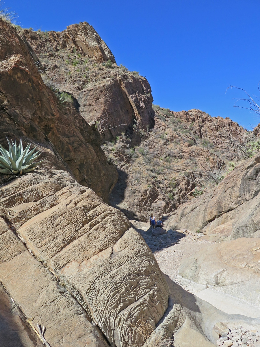
Climbing out of the canyon.
Cool eroded boulders.
Walking out of the canyon.
Up, and up, and up.
It was a lot easier walking down into the canyon. A 900-foot (275 m) elevation change is nothing to sneeze at, especially for one who is overweight and out of shape like me.
Hiking back up to the visitor center.
Beautiful light hitting the rocks.
If I’d been thinking clearly before the hike, I would have realized the hike was potentially beyond my current level of fitness. I probably shouldn’t have gone to The Window — it was a struggle for me to get back — but the views were so worth it. I am really glad I pushed myself and made the trek. I’m also glad I didn’t wimp-out near the end and hitchhike from the campground back to the visitor center.
Rather than post all 50 images here on the blog, I created a Google Photos Album for those of you who would like to see the rest of the pics. There are quite a few good ones, in my humble opinion.
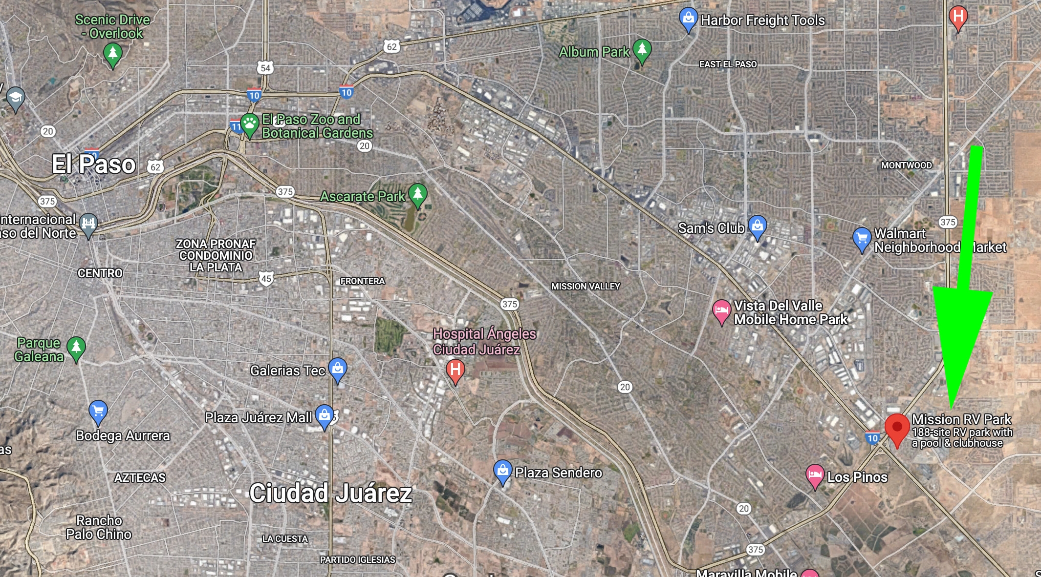
We were supposed to be in picturesque Carlsbad, New Mexico this weekend. Instead, we are staged at an RV park on the outskirts of El Paso, Texas, waiting for our Monday appointment at an RV dealer where we hope to have our finicky water heater repaired. Then, hopefully the same day (Tuesday at the latest), we need to go to an auto glass shop to get replacement glass installed for the inside pane of the driver’s window that mysteriously shattered last week.
Urban RV parks are not our usual thing. This park is older and was designed for skinnier RVs. You know, back when not every RV had multiple slide-outs. Spaces are very close together. Mike actually measured the distance between utility posts to satisfy our curiosity. It’s 21 feet from post to post. Our RV is 12.5 feet wide, with the slides out. In a site that’s 21 feet wide, we have an “extra” 8.5 feet. That’s barely enough room for a lawn chair, not that we’d want to sit outside in this less-than-favorable environment. And we’re pretty close to the interstate, too, so there’s traffic noise day and night. It’s a depressing place.
El Paso overview map. The green arrow points to where we are “camped.”
In the image shared above, you can see how densely populated the area is. You can also see Juarez, Mexico in the lower left third of the image.
We are hoping the water heater and glass repairs all happen tomorrow (Monday) so we don’t have to return to this spot in East El Paso. It’s definitely not a happy, relaxing place. The sooner we can get out of here, the better.
I’m not complaining, really. It’s all part of the adventure. Besides, with nothing else to do, I can go through more of my pics from Big Bend National Park (BBNP) to share here.
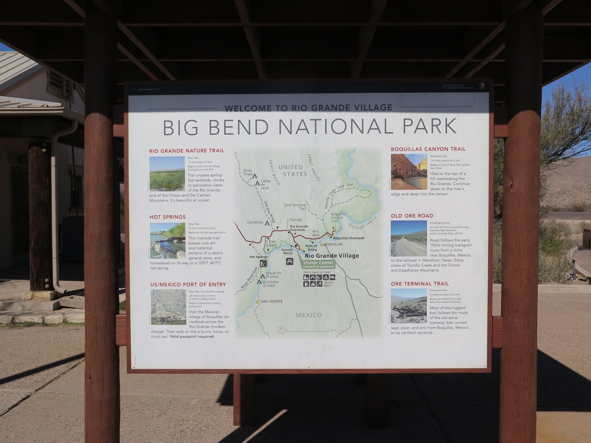
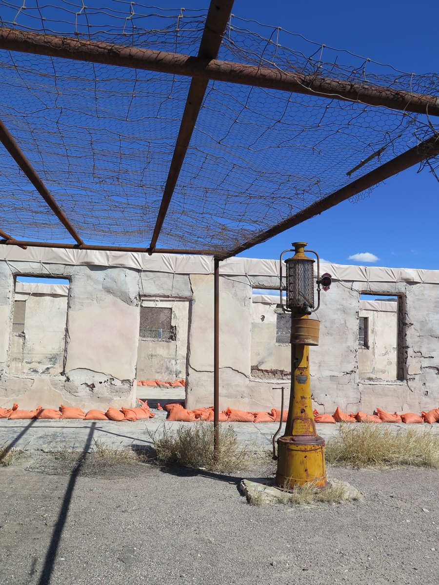
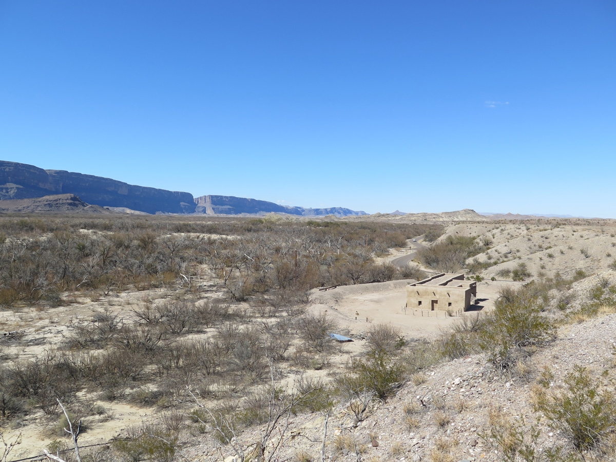
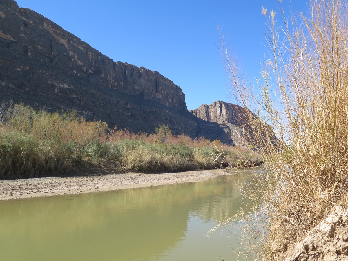
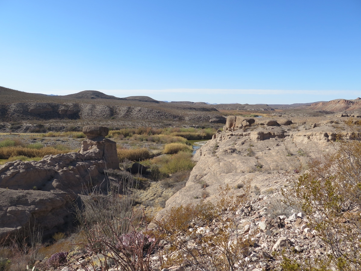
If you look at a map of BBNP, you’ll see there are several distinct areas. Our campground was near the western side of the park in Study Butte/Terlingua. On our fourth trip into the park, we drove to the eastern side to see Rio Grande Village.
Rio Grande Village map
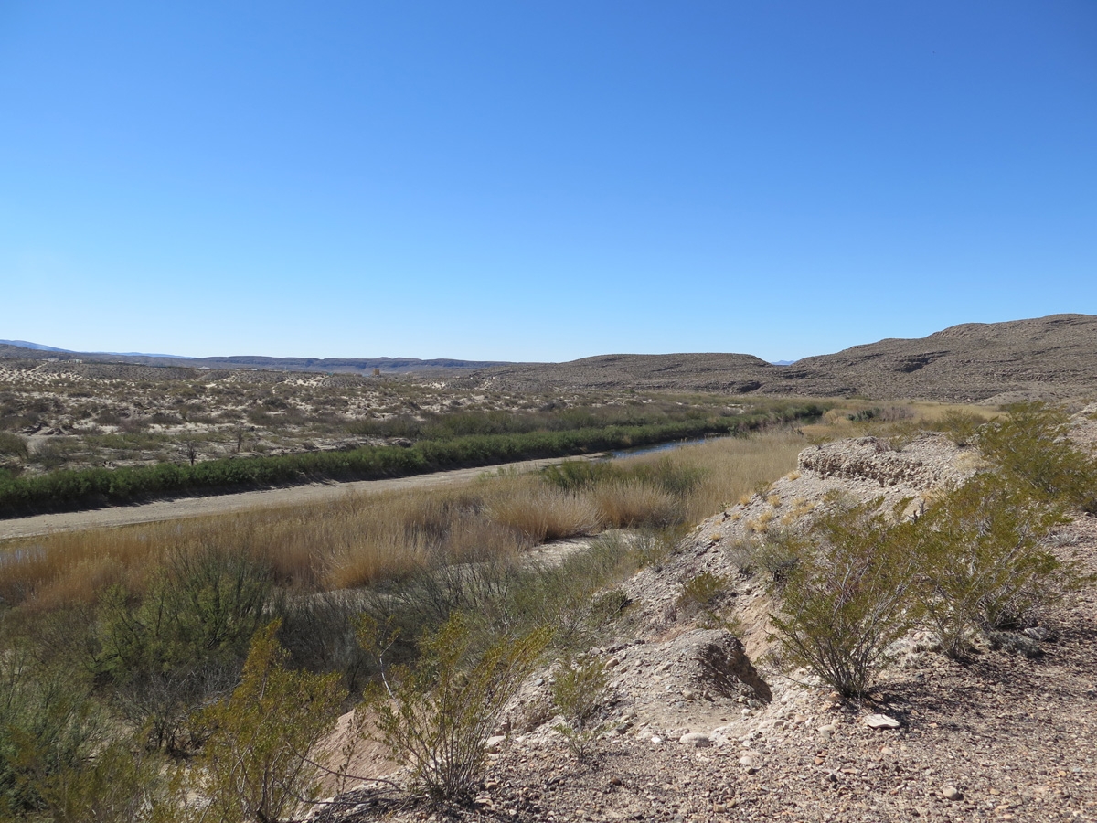
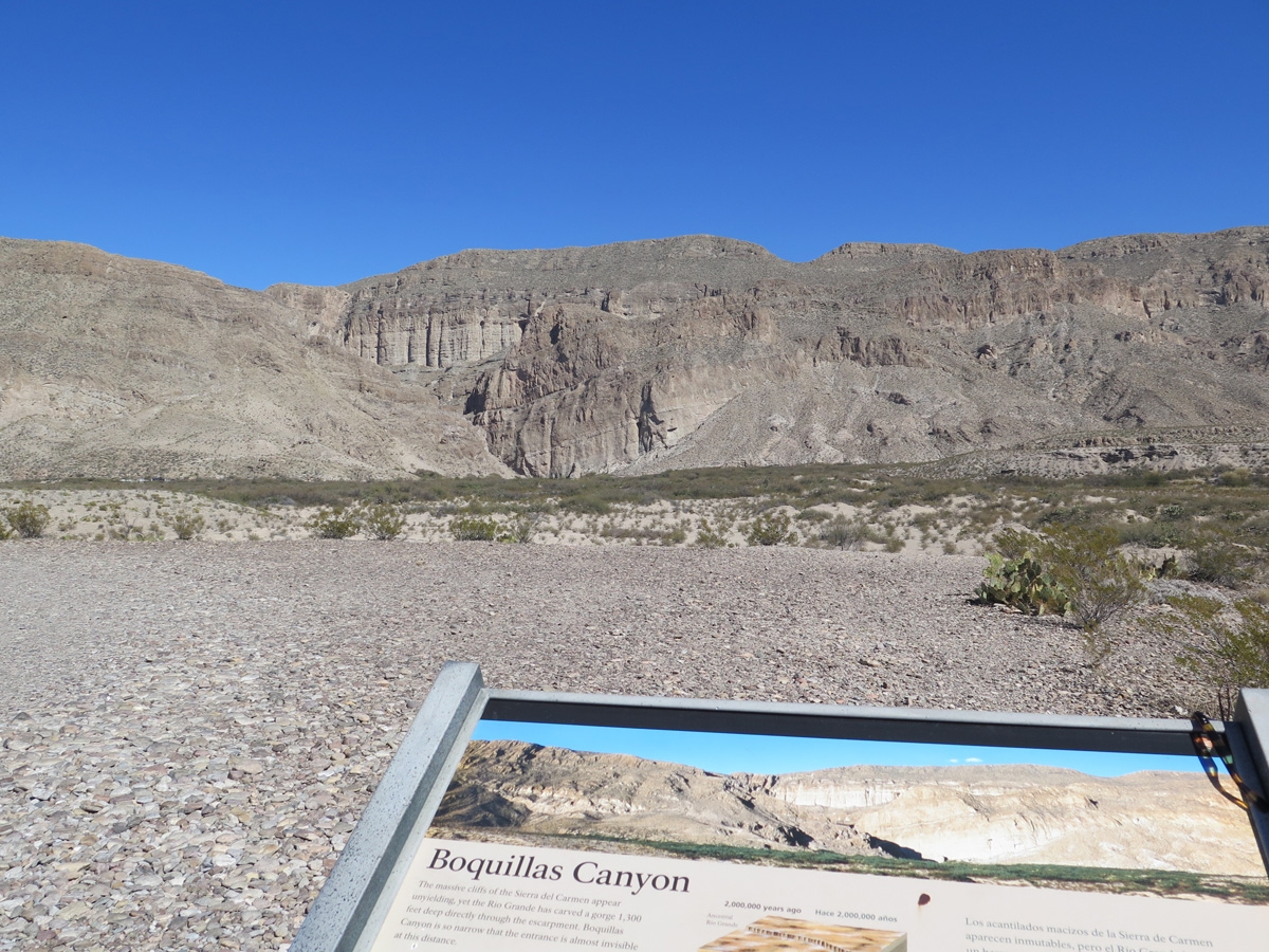
Looking south toward Mexico from the Boquillas Canyon Overlook.
Looking toward the Sierra del Carmen Mountains (in Mexico) from the Boquillas Canyon Overlook.
It would have been nice to hike through the canyon, but we had Belle with us. At BBNP, pets are not allowed on trails, off roads, or on the river. Basically, your pet can only go where your car can go. Having Belle along limited what we could do in the park, but she hates being left alone in the RV. We both agreed we would rather miss out on a few activities than severely stress Belle out at this advanced age in her life (she will be 15 in June).
Mike and Belle waiting while I took some photos.
You can see Boquillas Canyon in the top-center of the frame if you look closely and use your imagination.
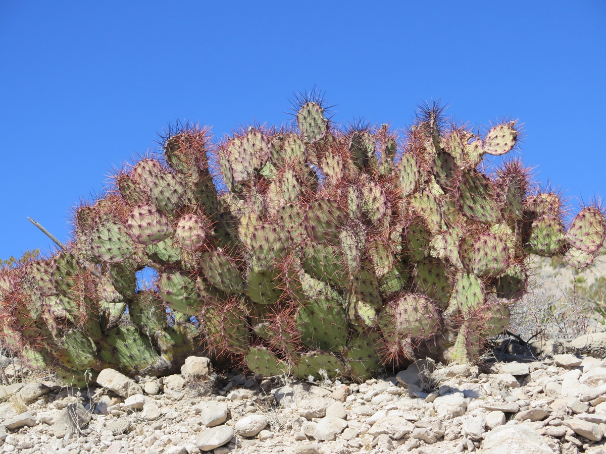
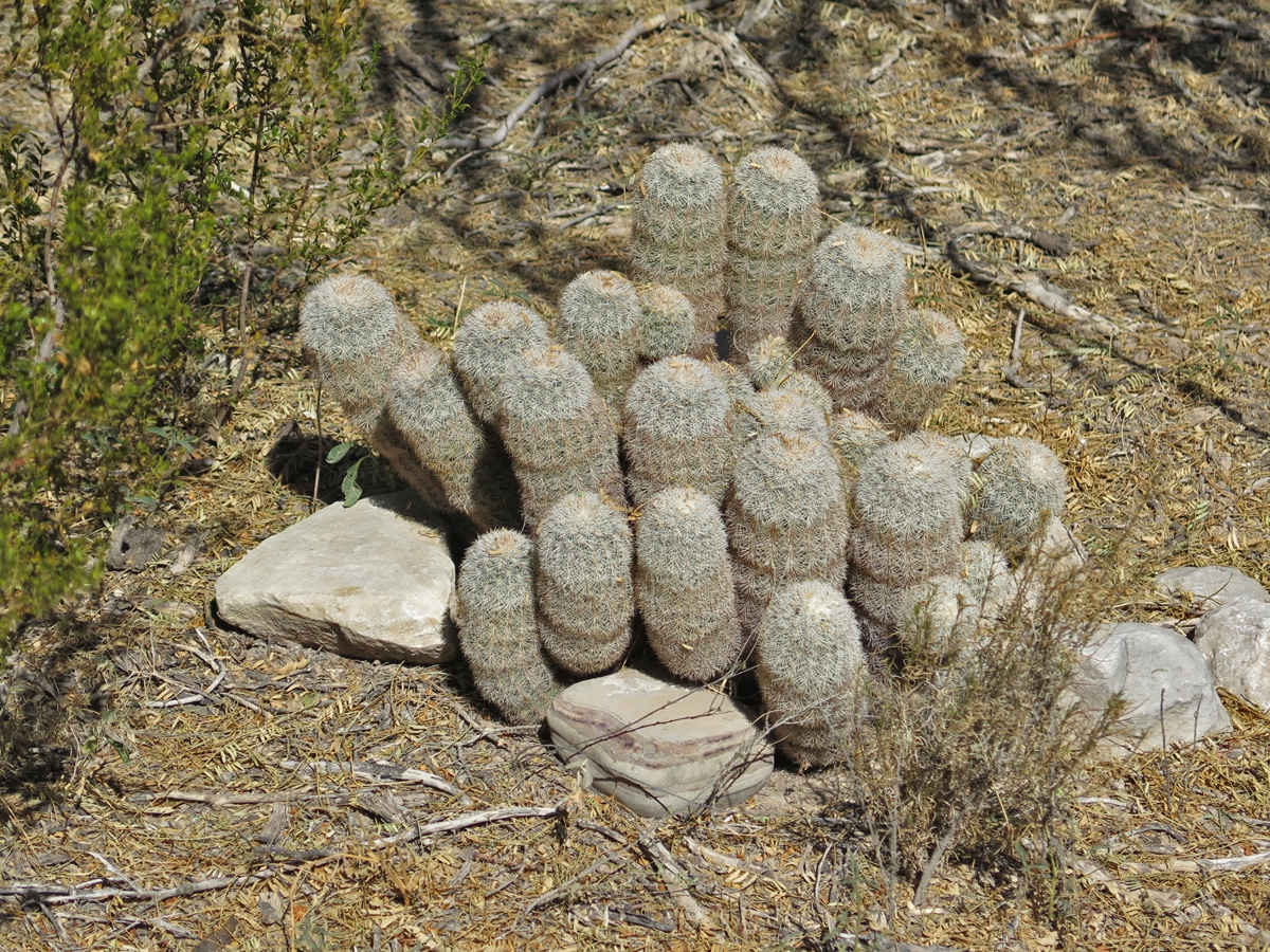
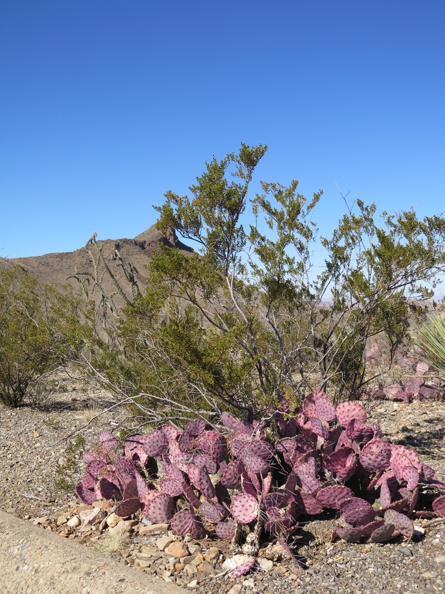
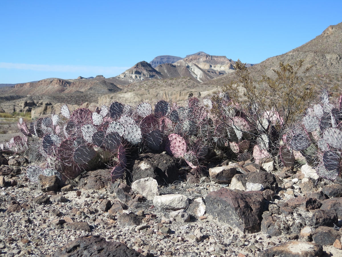
Prickly Pear Cactus with pink needles.
The Sierra del Carmen mountain range, which is in Mexico, can be seen in the distance.
I think this was called a Rainbow Cactus.
Looking at the Sierra del Carmen mountains from the parking lot of the Rio Grande Visitor Center.
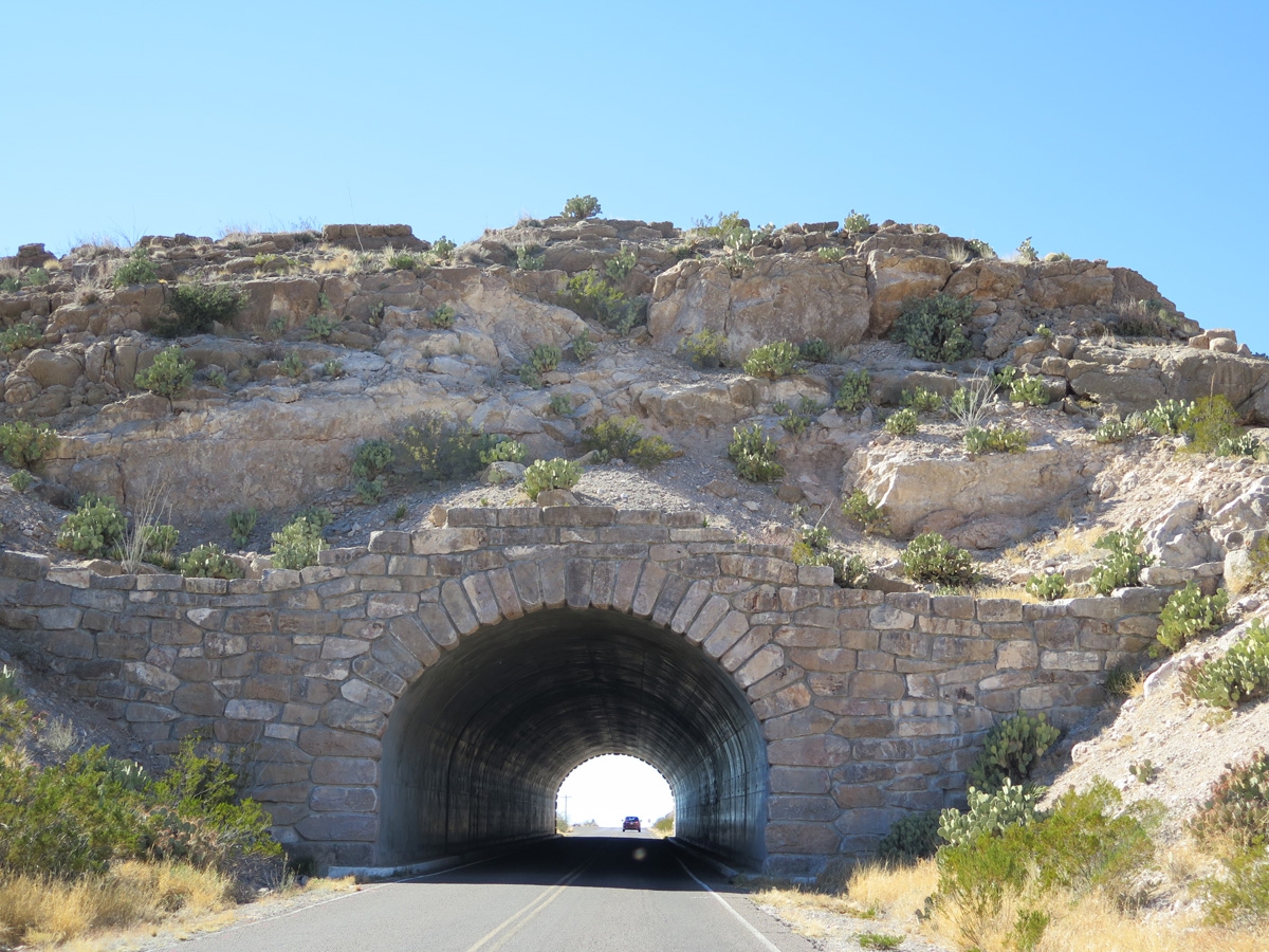
Tunnel near the Rio Grande Overlook.
Belle and Mike waiting for me to finish taking pictures again.
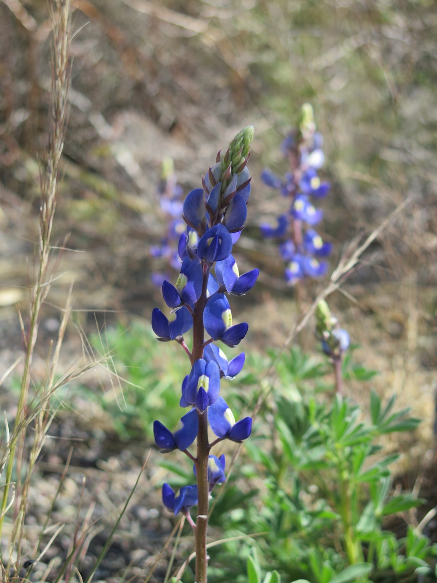
Big Bend Blue Bonnet (wildflowers)
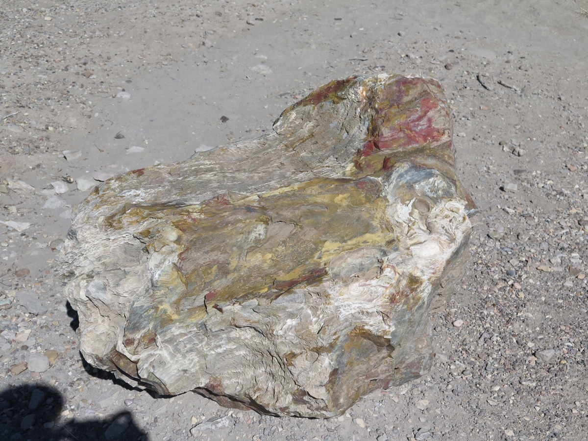
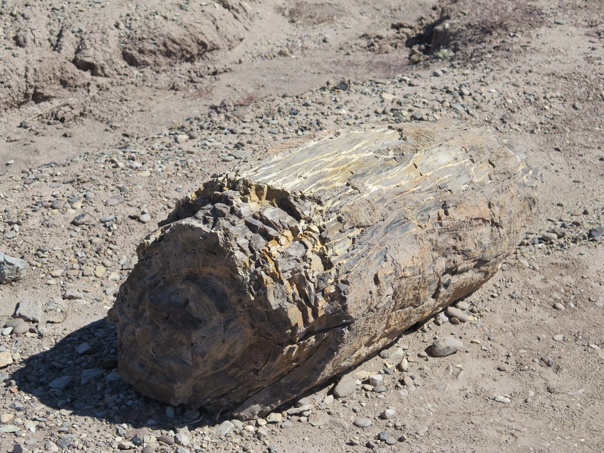
Petrified Wood
Pink Prickly Pear Cactus
Petrified Wood
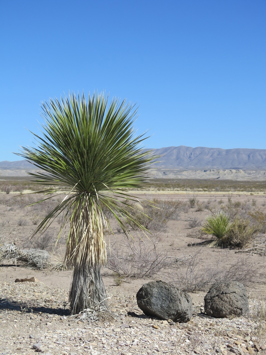
Thompson’s Yucca
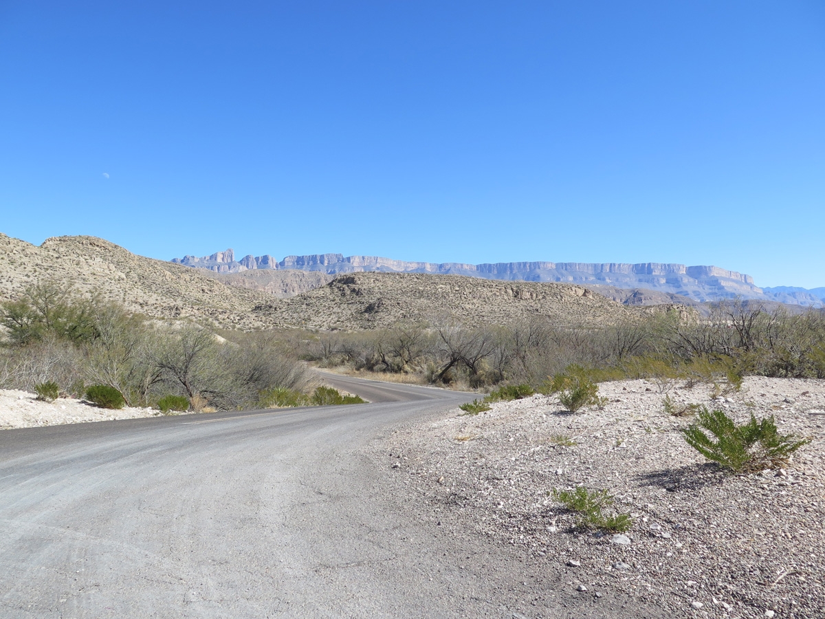
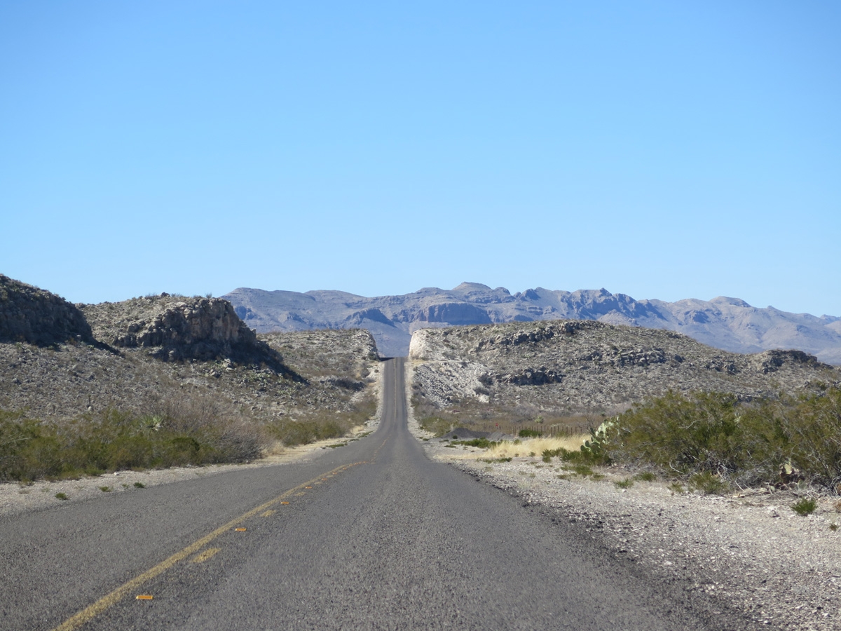
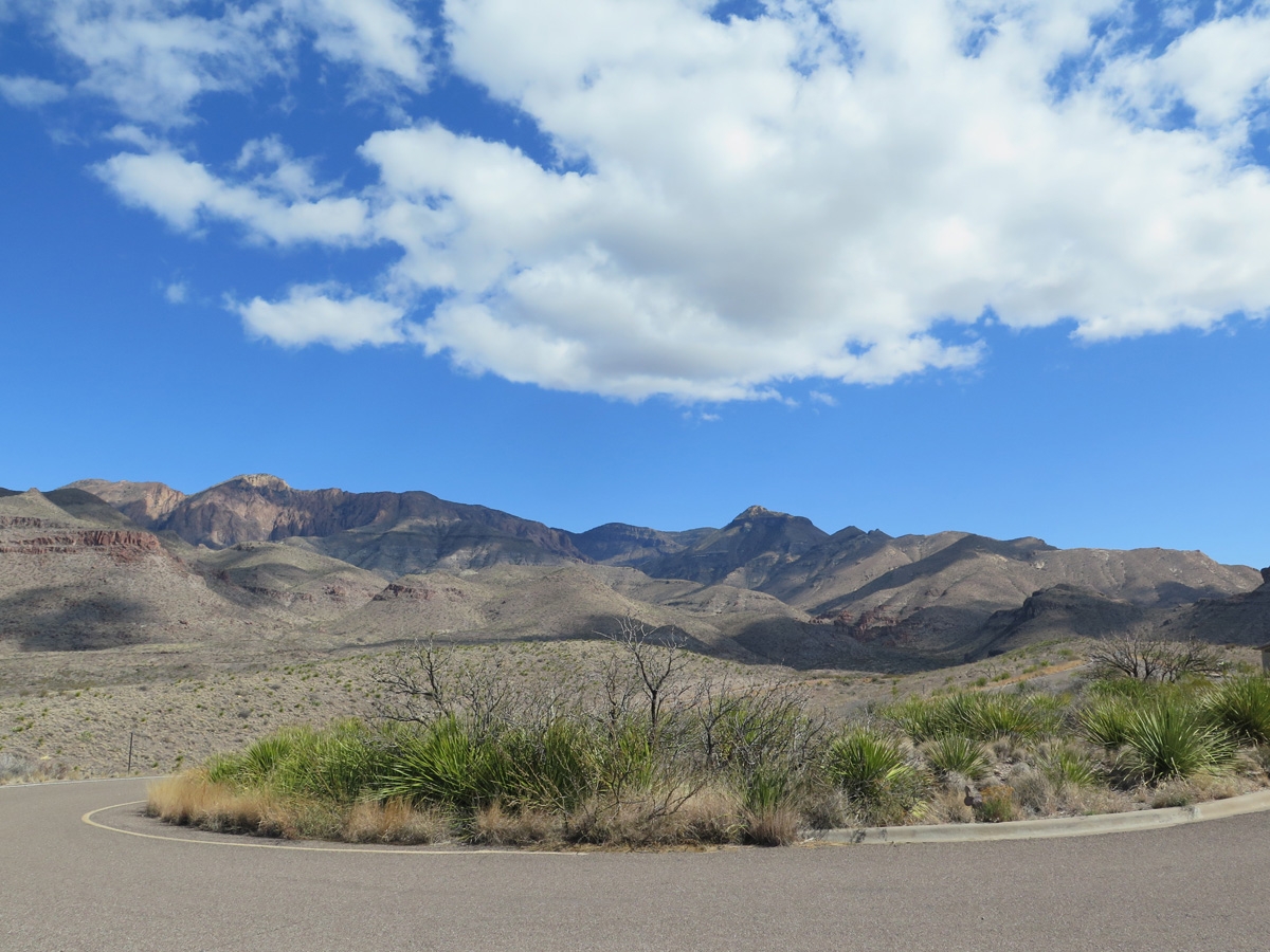
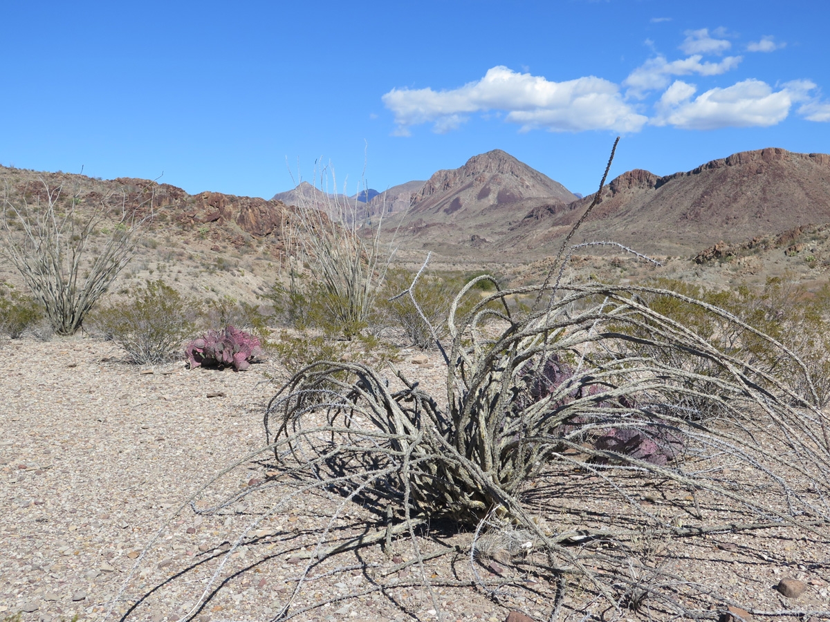
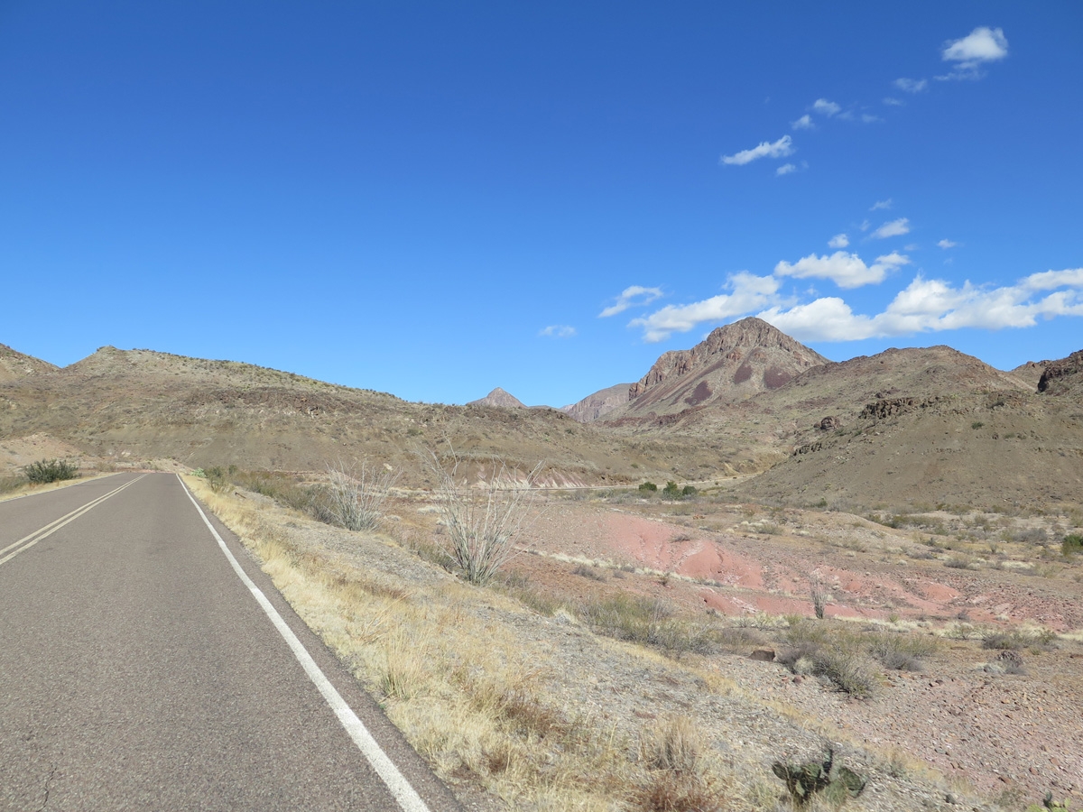
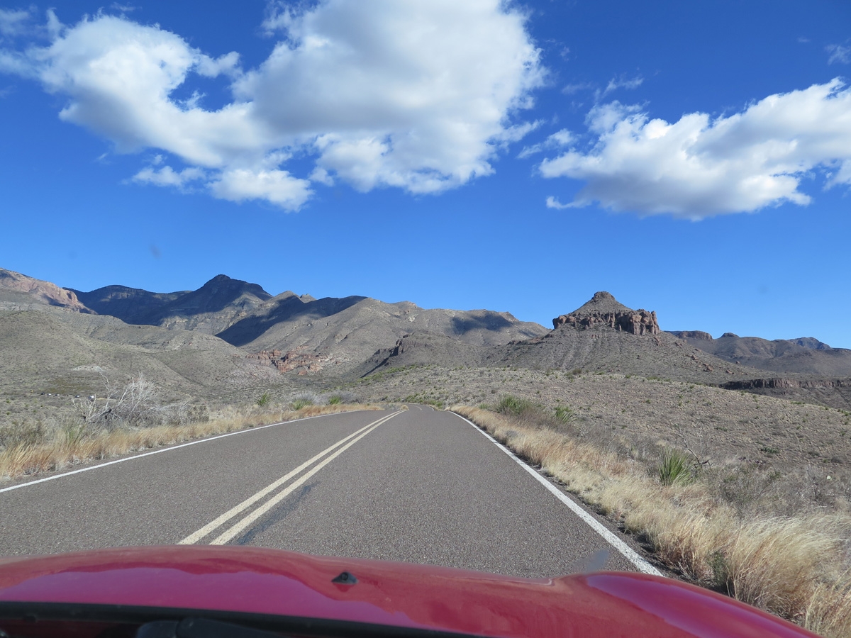
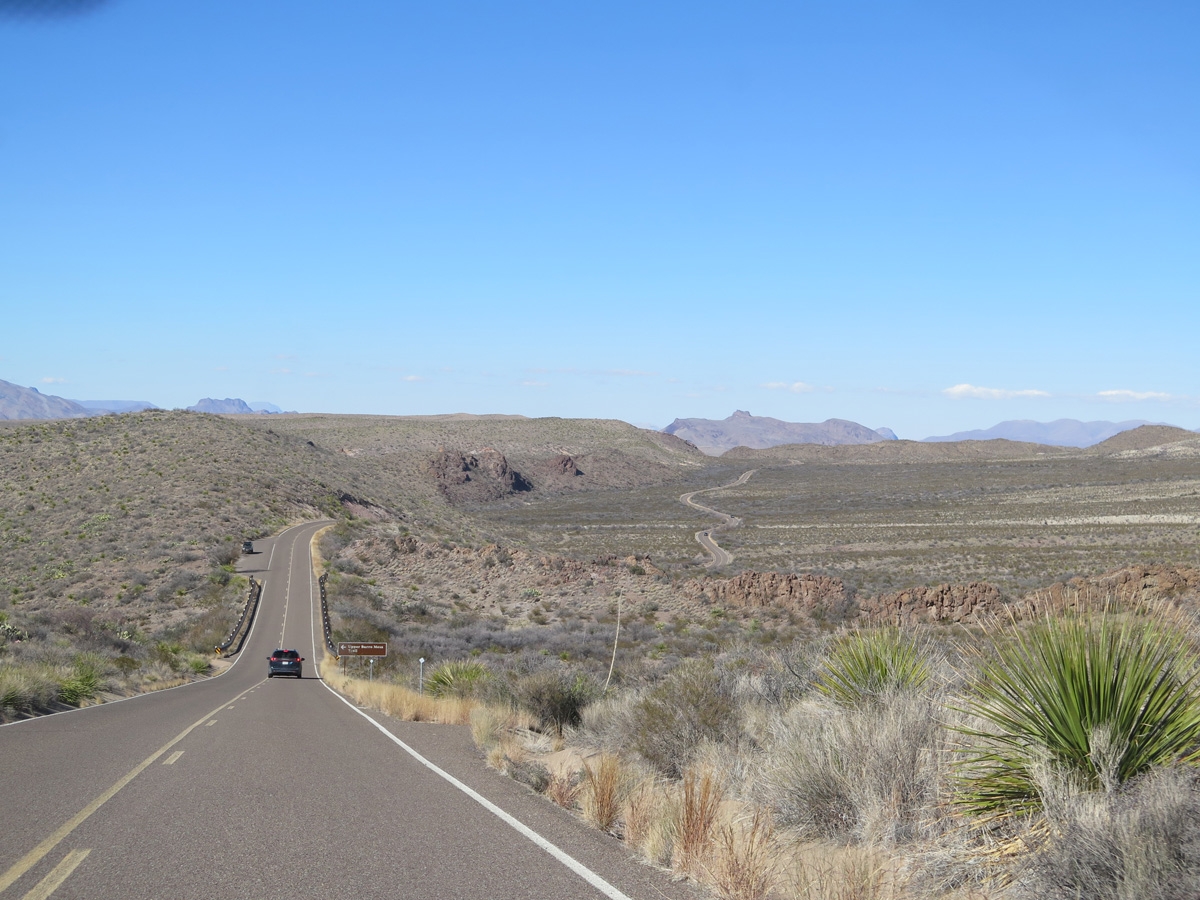
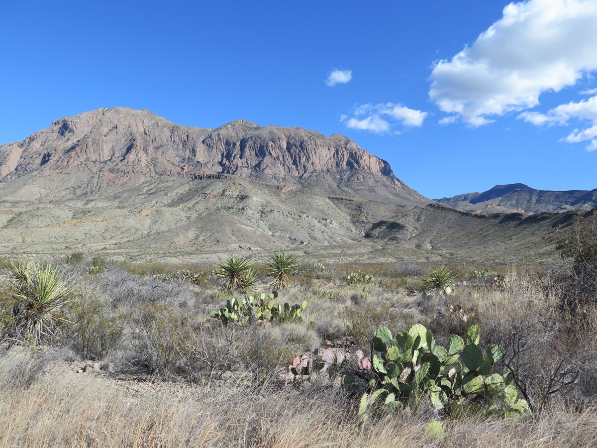
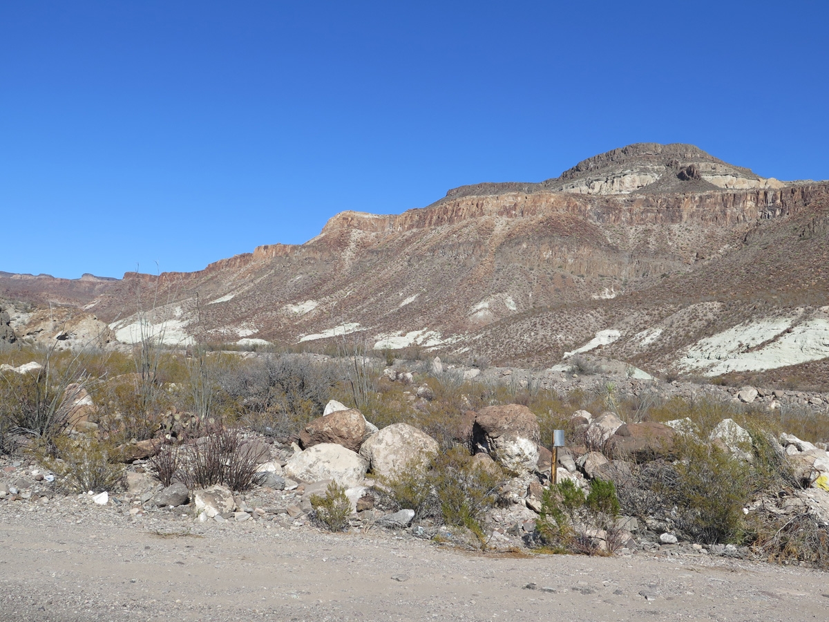
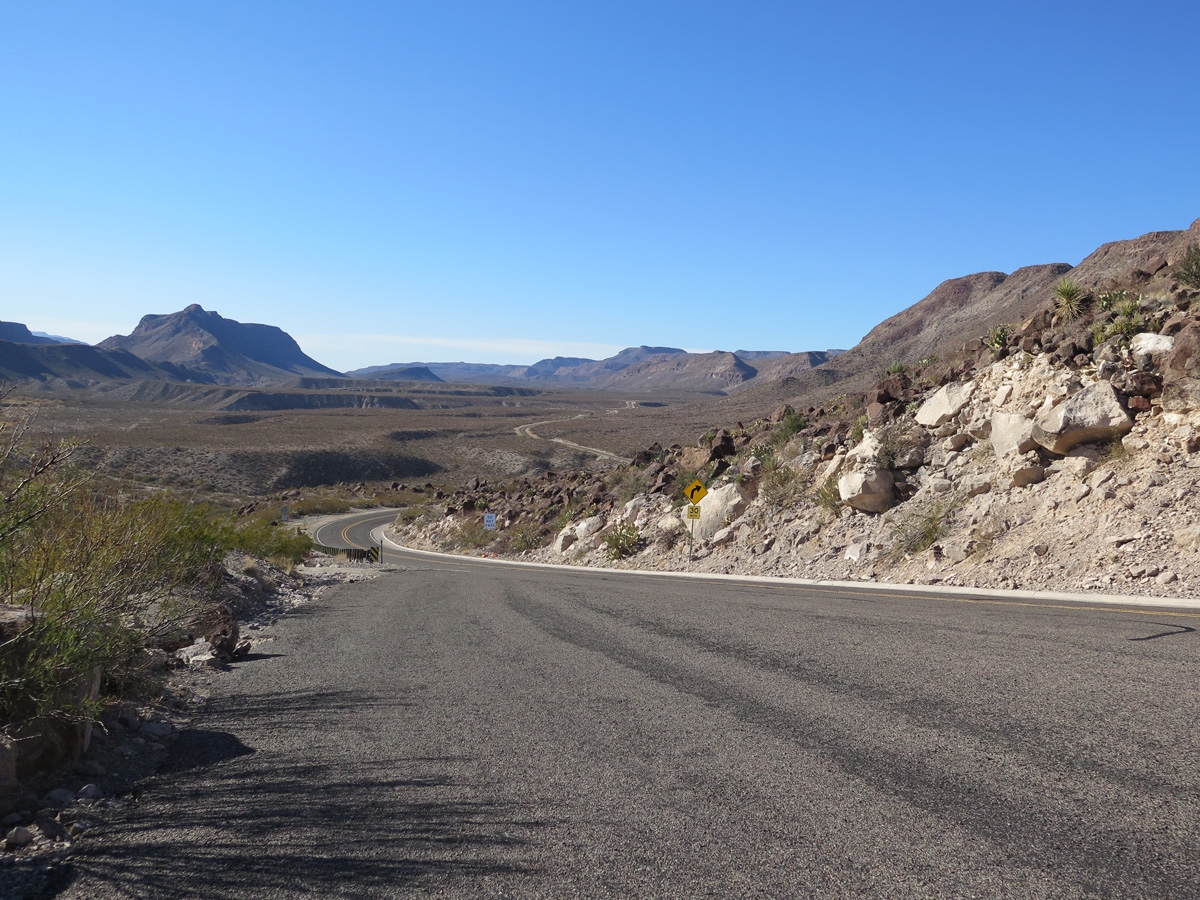
Driving toward the Chisos Mountains.
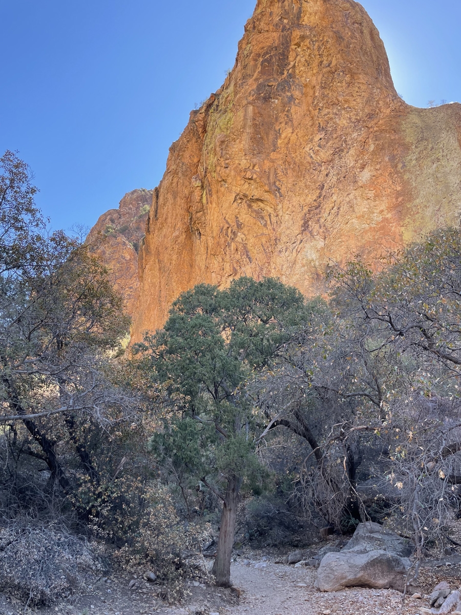
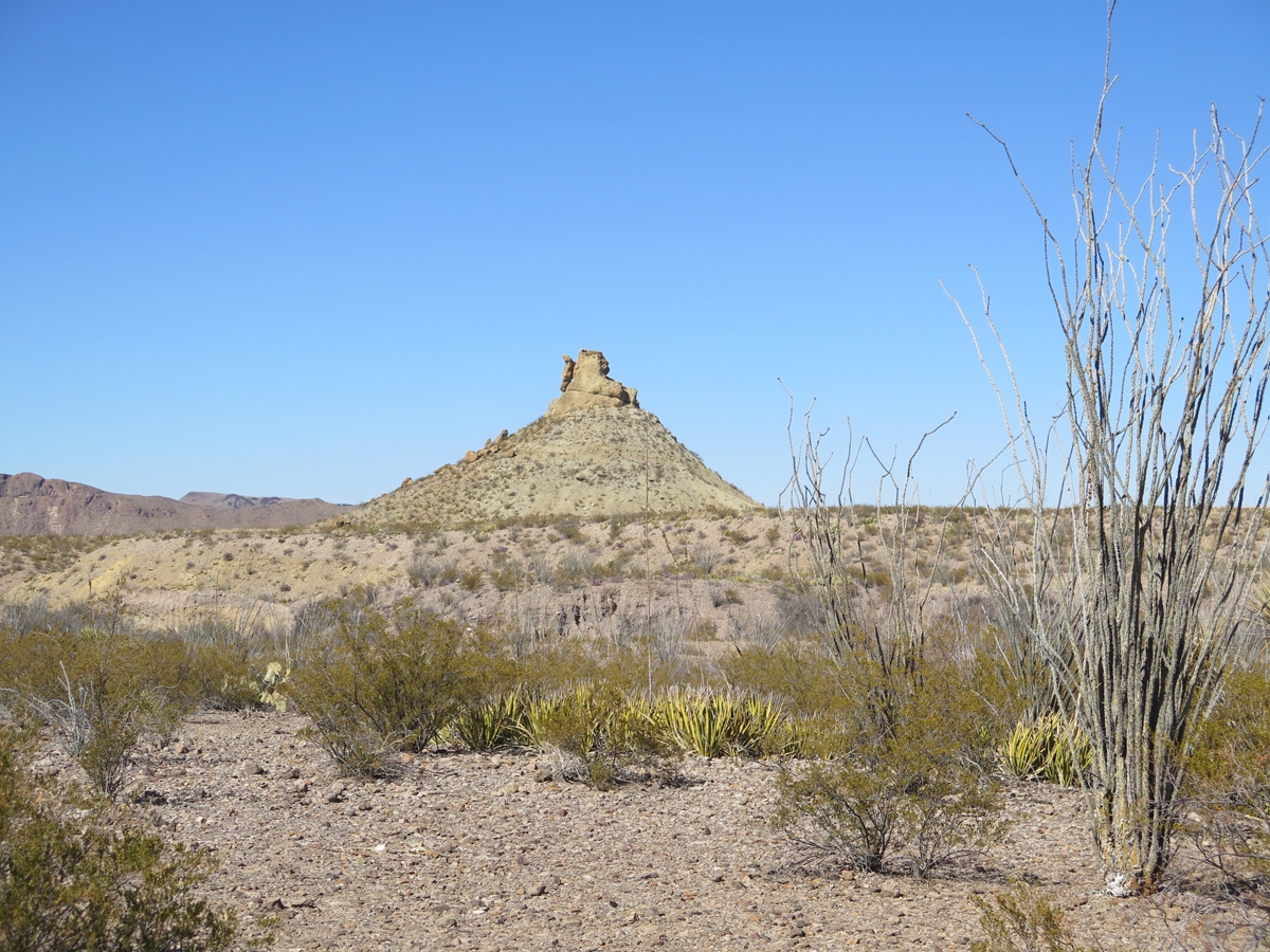
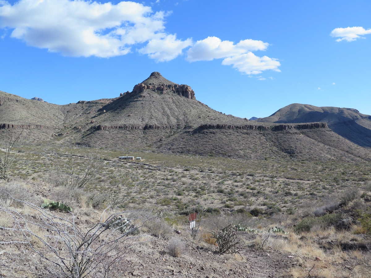
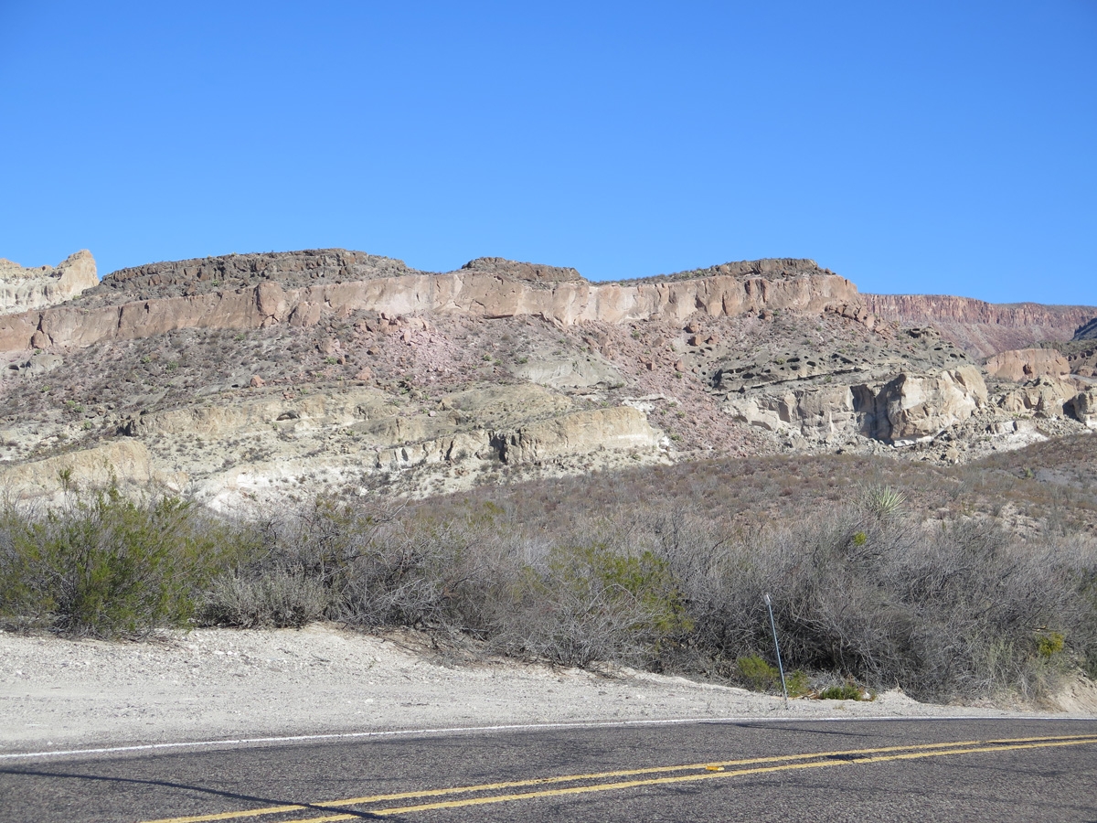
One of my favorite rocky outcrops not far from the Maverick Junction entrance to the park (near Study Butte/Terlingua).
The best thing about staying close to the national park over an extended period of time was that we didn’t feel forced to cram a bunch of stuff into every day. Some days, we didn’t even leave the campsite.
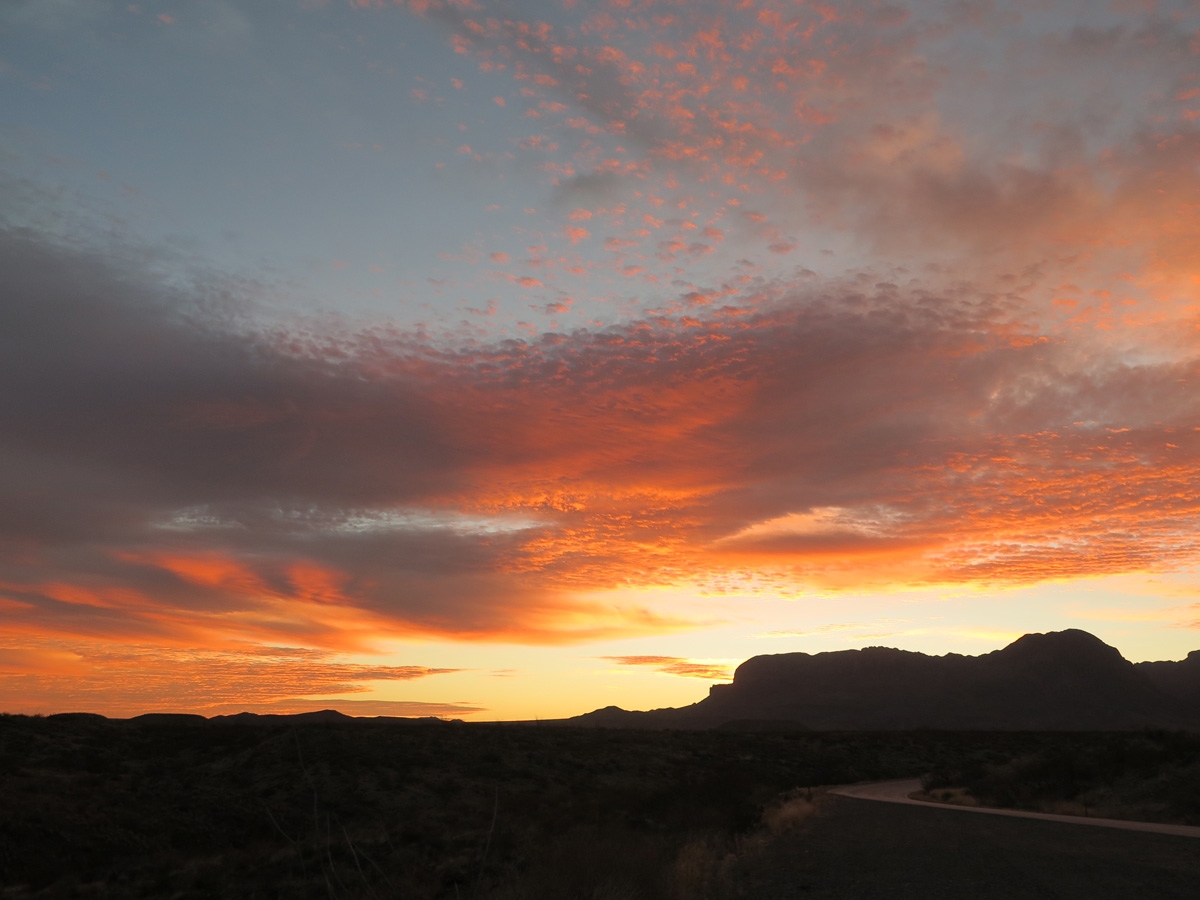
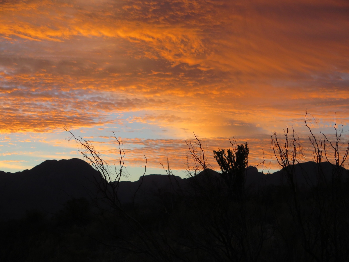
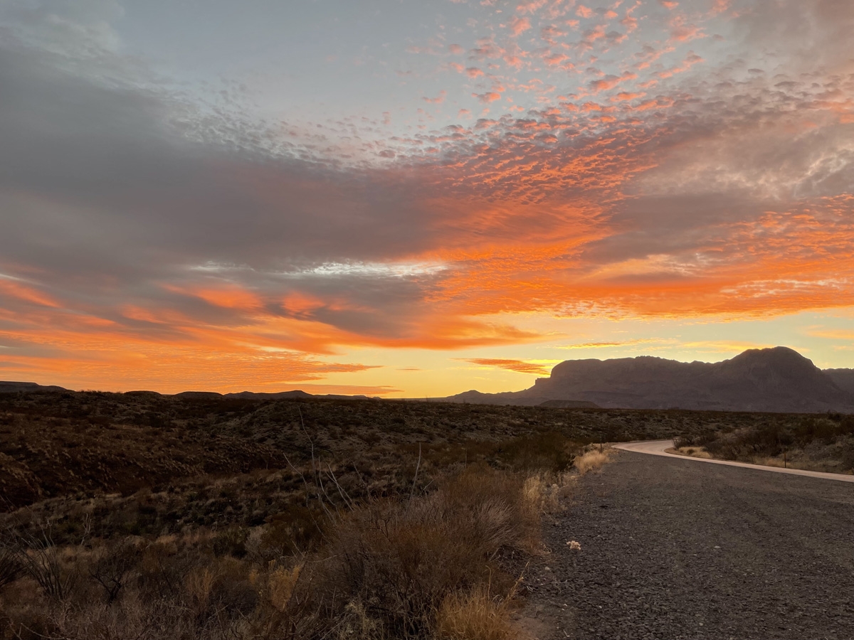
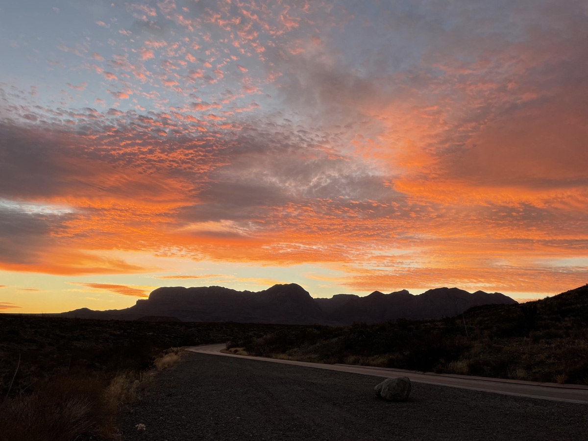
Another good thing about staying close to the park is being able to visit at different times of day. Believe it or not, things look different throughout the day due to the ever-changing angle of sunlight throughout the day.
BBNP is truly an amazing place. In my next post, I’ll tell you all about one of the hikes I took while we were there.
We’ve been camped in Terlingua, Texas, a few miles from one of the entrances to Big Bend National Park (BBNP), since February 1. Knowing we were going to be here until February 25, we have not been exhausting ourselves, cramming myriad activities into each and every day. Some days we leave the campground and explore. Other days we just “do retirement things”, as Hubby Mike says. Retirement things include reading, napping, watching movies/other shows, stitching, blogging, making future campground reservations, etc. Essentially, whatever the heck we want to do or not do as the case may be.
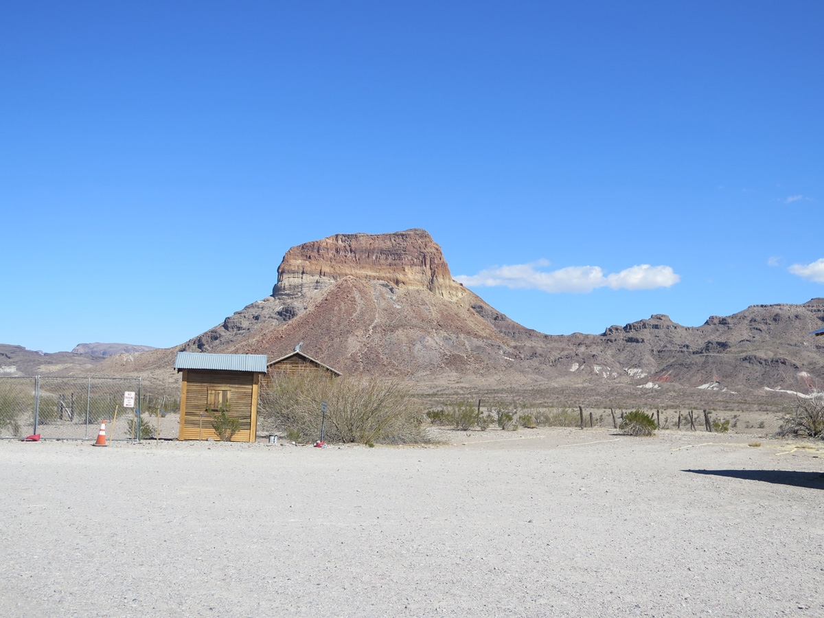
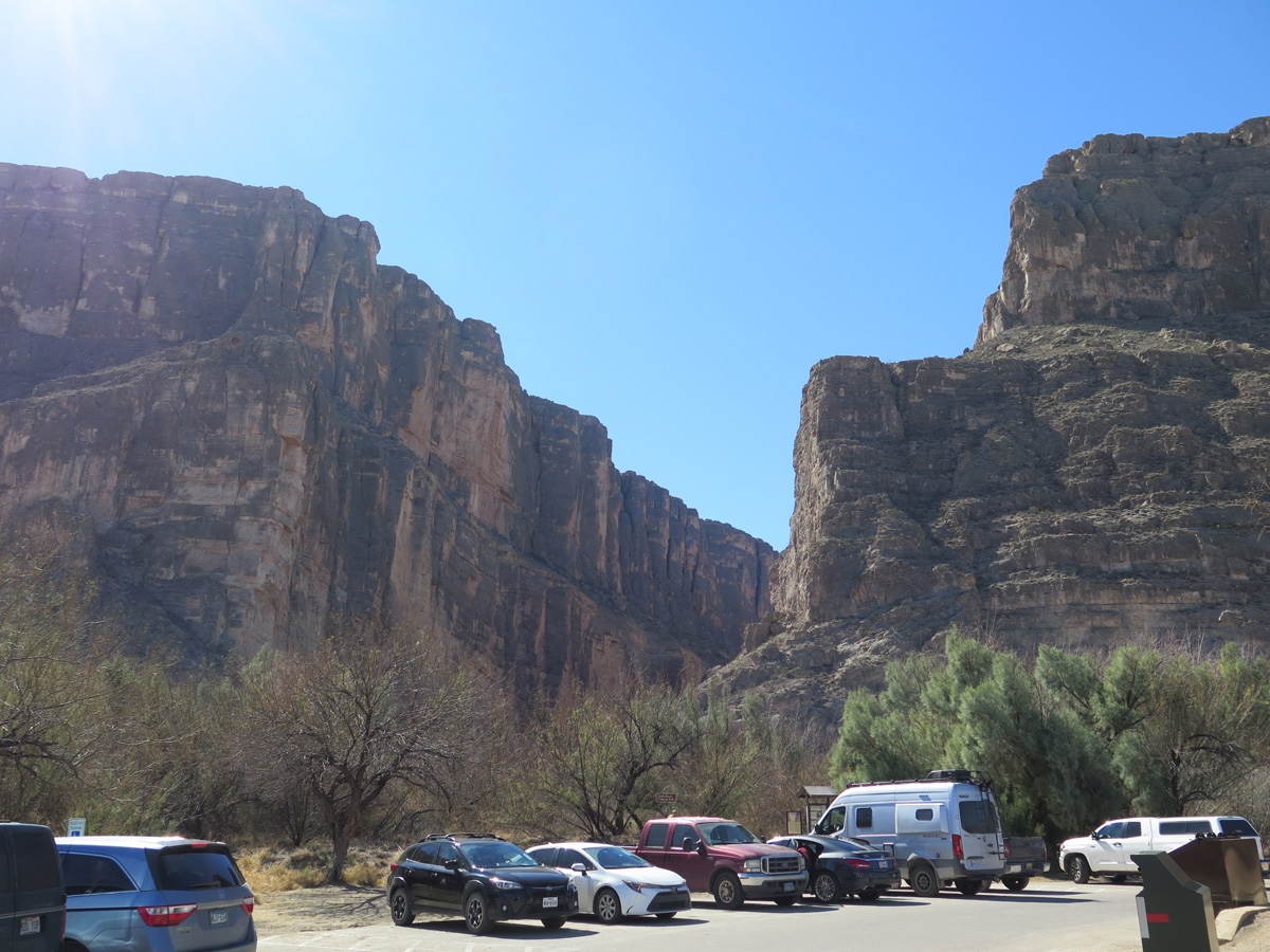
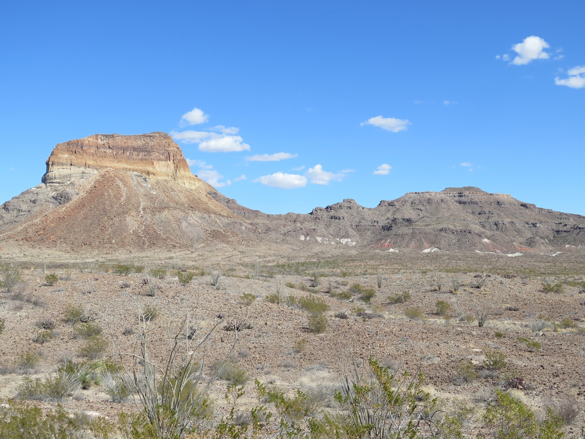
This is my third installment about BBNP here on the blog, but that doesn’t mean we’ve only been into the park three times. On this particular day visiting BBNP, we drove into the Castolon area on the Ross Maxwell Scenic Drive, which ends at the Santa Elena Canyon. I didn’t think anything could top the views we’d seen on previous visits in and around the Chisos Basin. I was wrong.
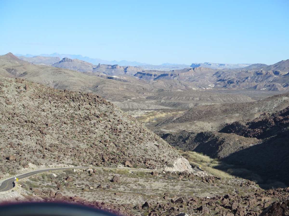
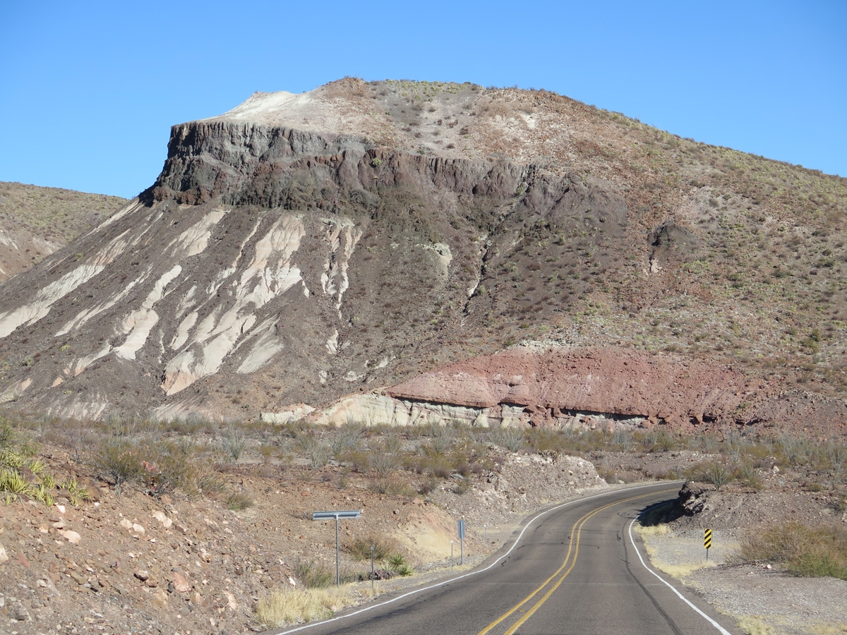
The drive through the Castolon area to Santa Elena Canyon was spectacular.
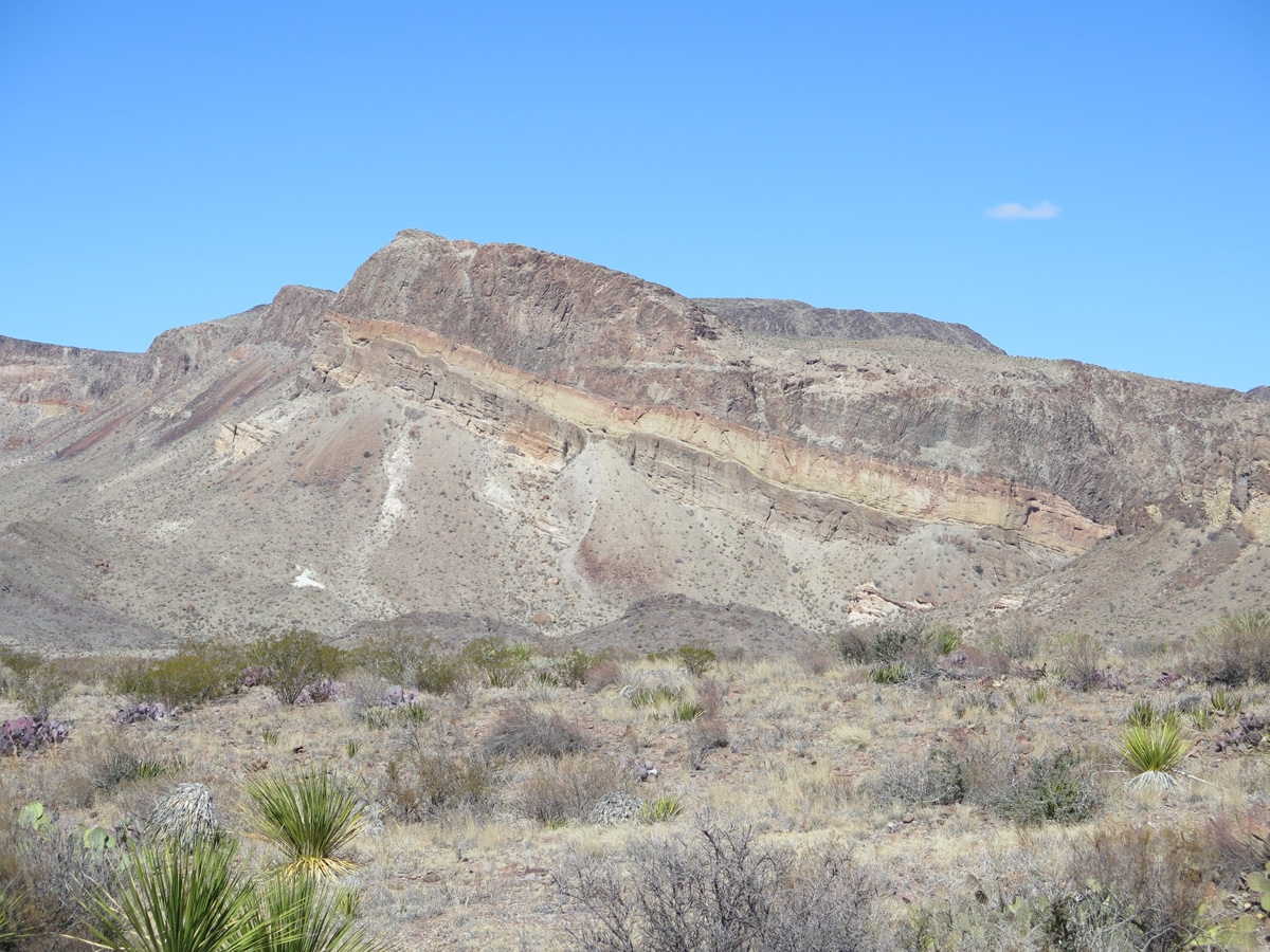
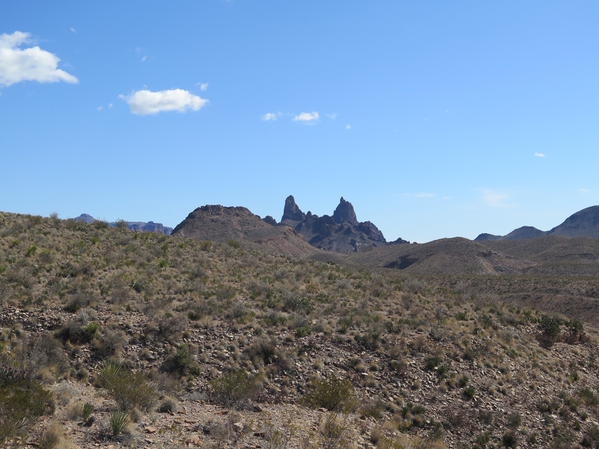
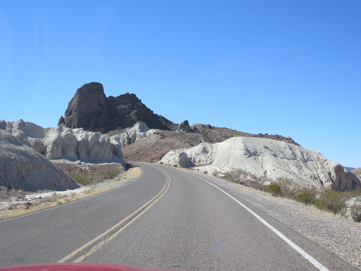
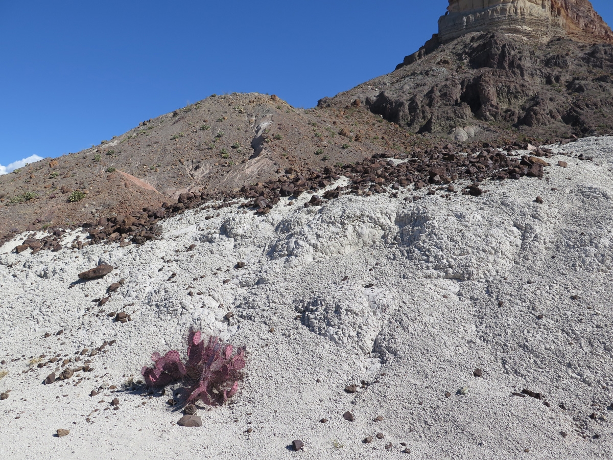
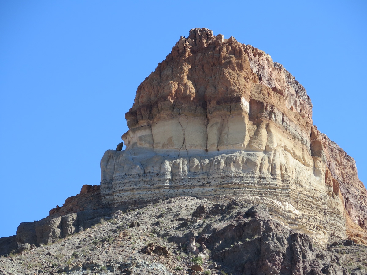
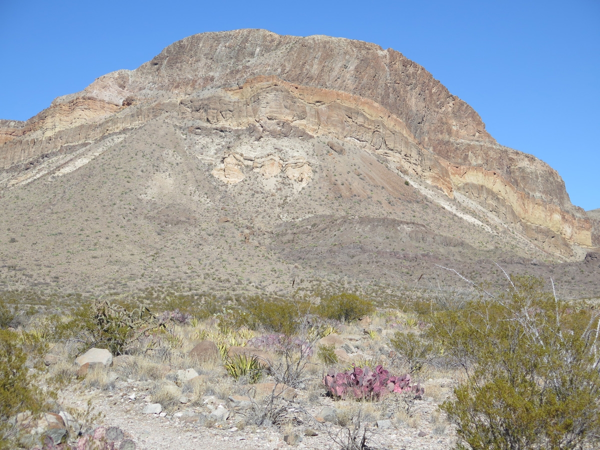
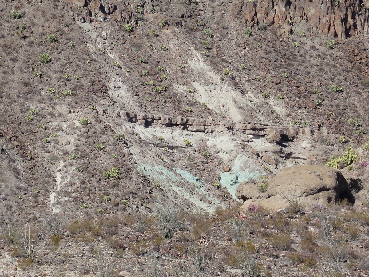
View from the Sotol Vista, one of the overlooks along the Ross Maxwell Scenic Drive.The layers are geologic history on display.The Mule Ears Peaks as seen from the Mule Ears Viewpoint.I am always amazed at how quickly and dramatically the scenery can change.Some of the remains from a fire in May 2019 that destroyed much of the Castolon Historic District. (The fire started in Mexico on a windy 110-degree day and jumped the Rio Grande.)From the site of the Castolon Historic District, you can see where Santa Elena Canyon cuts through the rock.Cerro Castellan (aka Castolon Peak and Castellan Peak) is a conical mountain that tops-out at 3,293 feet (1004 m) from the desert floor.Santa Elena Canyon as seen from the parking lot for the Santa Elena Canyon Trail.Photo captured from the Santa Elena River Access a little ways downstream from the canyon.Castolon Peak and some adjoining mountains. I am constantly amazed at all the different colors that can be seen in the rocks.We nicknamed this area chocolate-chip-ice-cream-rocks.This rock outcrop is one of my personal favorites. I love the colors and shapes of the various layers.Random desert scenery (I like how the plant looks rather spidery).Look at all the colors.
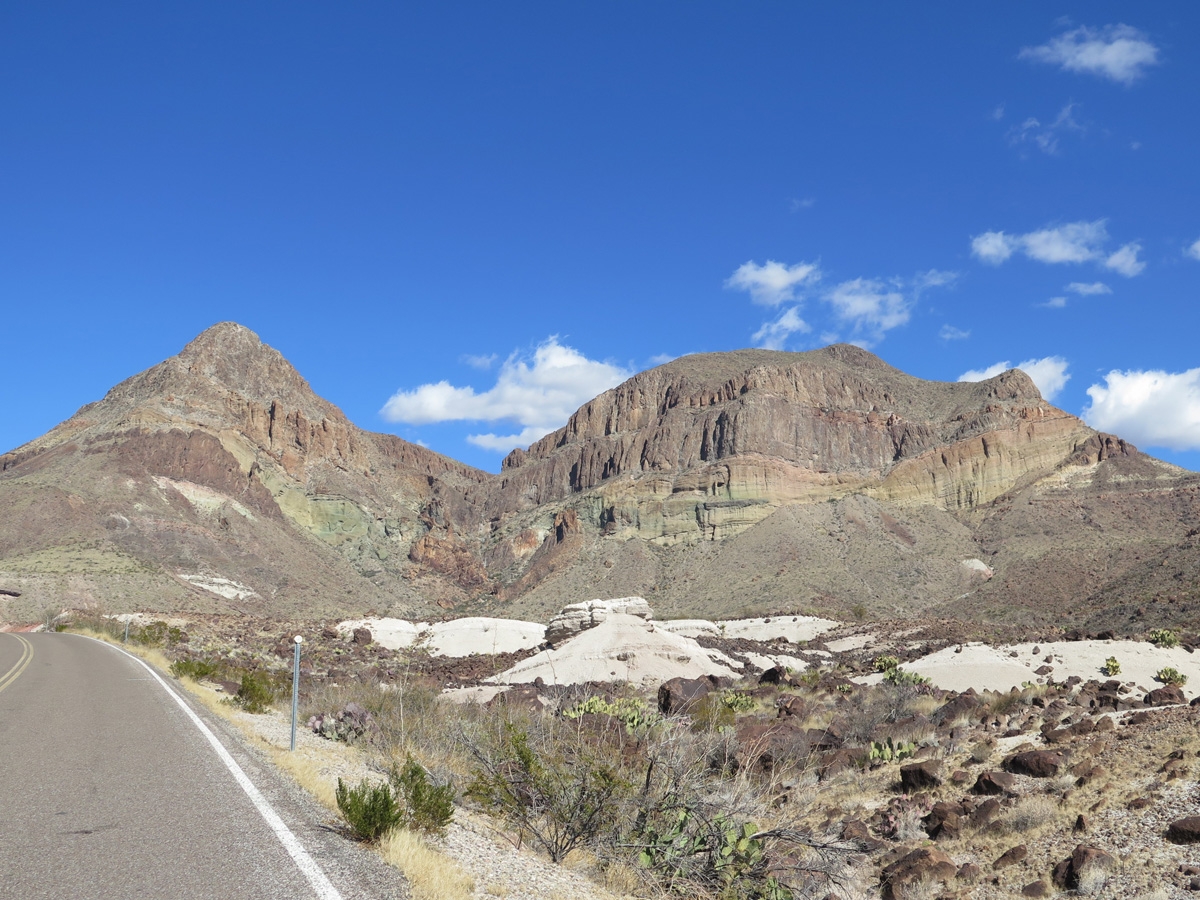
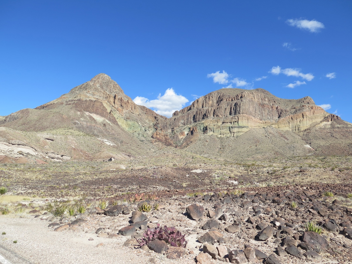
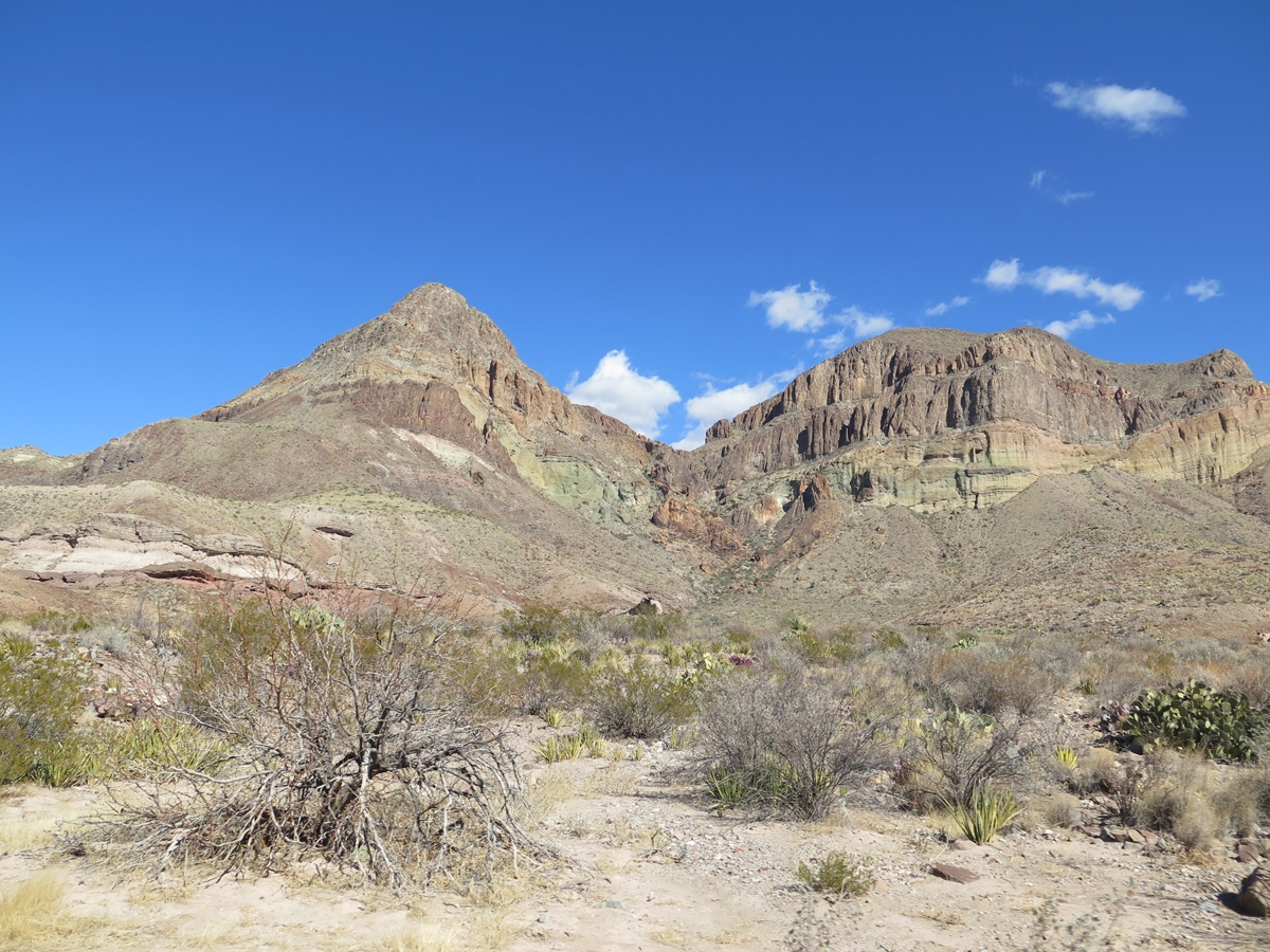
The next five images are all of the same two mountains. I chose to share them here to demonstrate just how quickly and dramatically the views of the same two peaks can change as one proceeds along the road.
Two peaks with impressive red-rock outcrop in the middle of the foreground.Closer look at the same two peaks with desert vegetation in the foreground.View of the same two peaks with chocolate-chip-ice-cream-rocks in the foreground.View of the same two peaks with the rocky desert floor in the foreground. Look at that range of colors!More-distant look at the same two peaks with desert vegetation in the foreground.Another side of the layered mountain I shared earlier with a purplish Prickly Pear as an accent.Cool mountain/rock formation seen as we approach Sotol Vista from the canyon end of the road.Cool mountain/rock formation with the Homer Wilson Ranch in the foreground.Heading north along the Ross Maxwell Scenic Drive, just south of the Burro Mesa Pour-off Trail.One of my favorite pics from the day.
As nice as these images are, I still say they don’t do the place justice. We are so blessed to be able to spend time here seeing this amazing scenery first-hand. Hopefully, those of you who may not be able to travel to such distant places are enjoying these pics I have been sharing. For those of you who are able to travel and enjoy visiting national parks, BBNP and the nearby Big Bend Ranch State Park should definitely be added to your bucket list.
We’ve really been enjoying our time here in Terlingua, Texas. I’m a bit behind on posting because we have been keeping busy. I have also spent a bit of extra time staring at my various electronics working on future reservations, which is a very good thing. We are now booked (mostly) through mid-June. Anyway… back to the fun stuff.
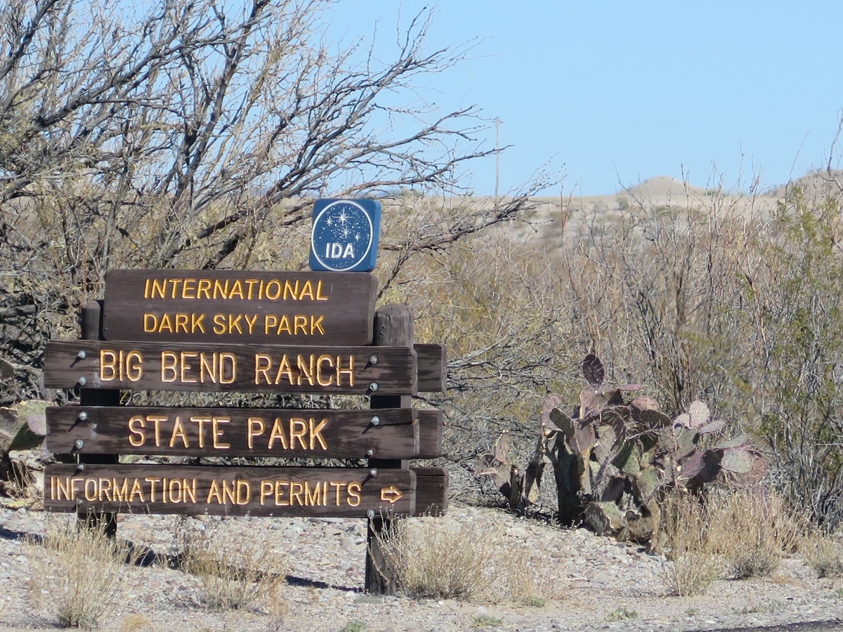
As I may have noted in previous posts, our campground is only a few miles from one of the entrances to Big Bend National Park. We’re only about 20-30-minutes from a state park, too. Since we’d gone into the national park a couple of times already, on February 6 I chose Big Bend Ranch State Park as a nice place to spend my birthday.
I didn’t have a lot of expectations for the place. By that I mean I hadn’t read much about the state park, so I didn’t know what to expect in terms of scenery, viewpoints, road conditions, etc. We were both pleasantly surprised. The park is gorgeous. And it feels just as big as the national park.
The state park is so lovely, in fact, that I have an overabundance of pictures I’d like to share (almost 80!) and had to upload them to Google Photos to make sharing possible.
I did pick a short list of pics to share here, for folks who don’t like clicking elsewhere to view post-related images.
This entrance sign is actually on the western side of the park (we missed the one on the eastern side!).
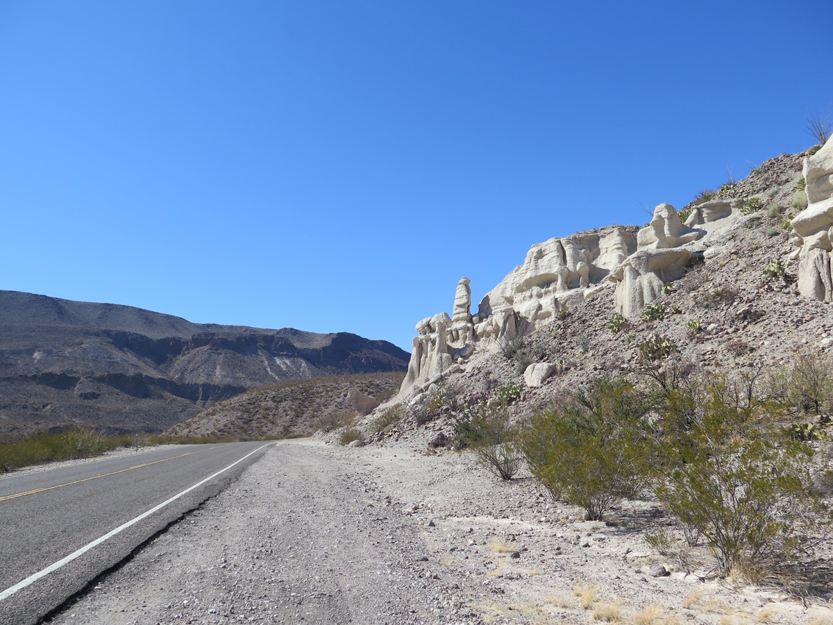
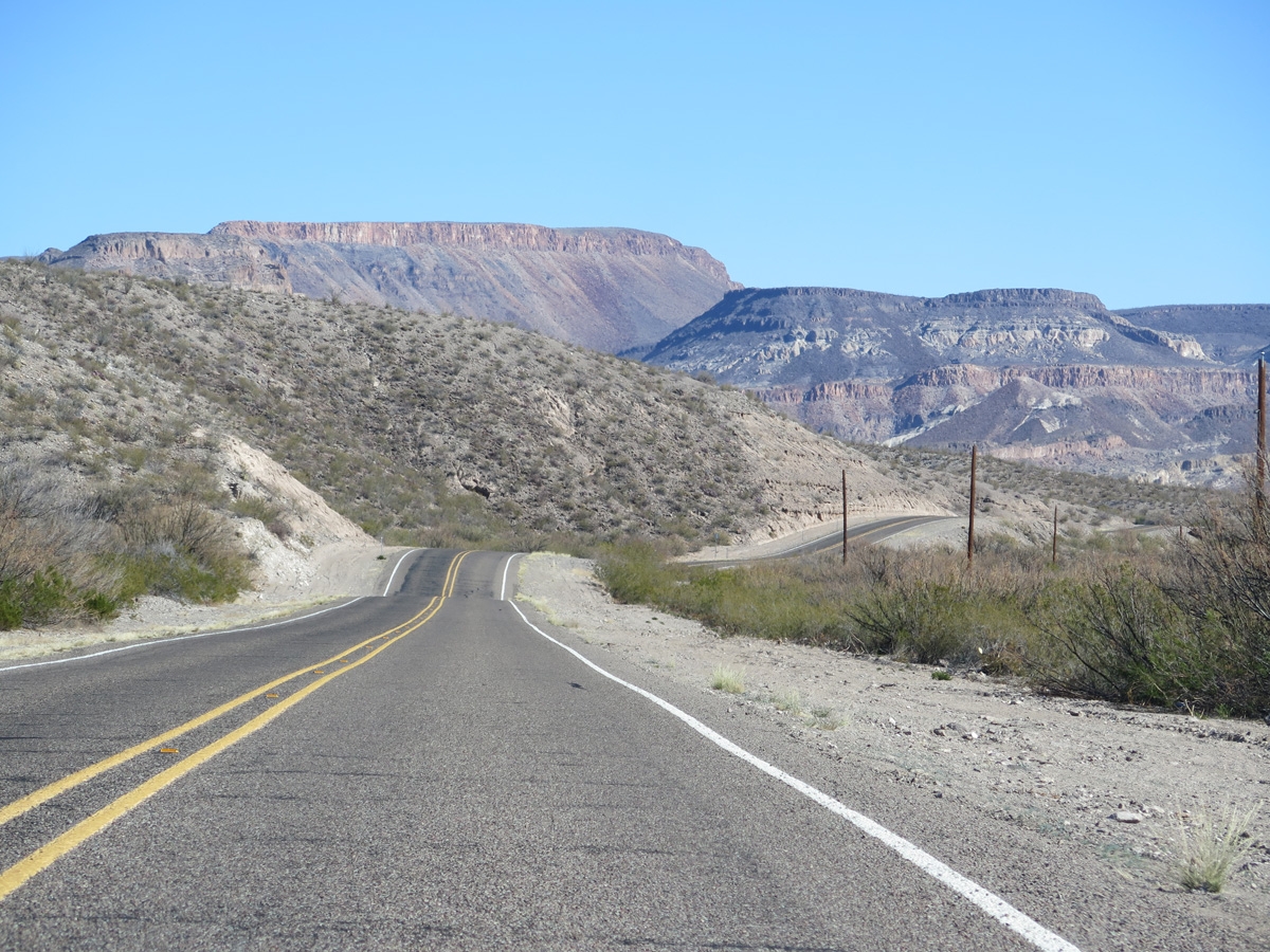
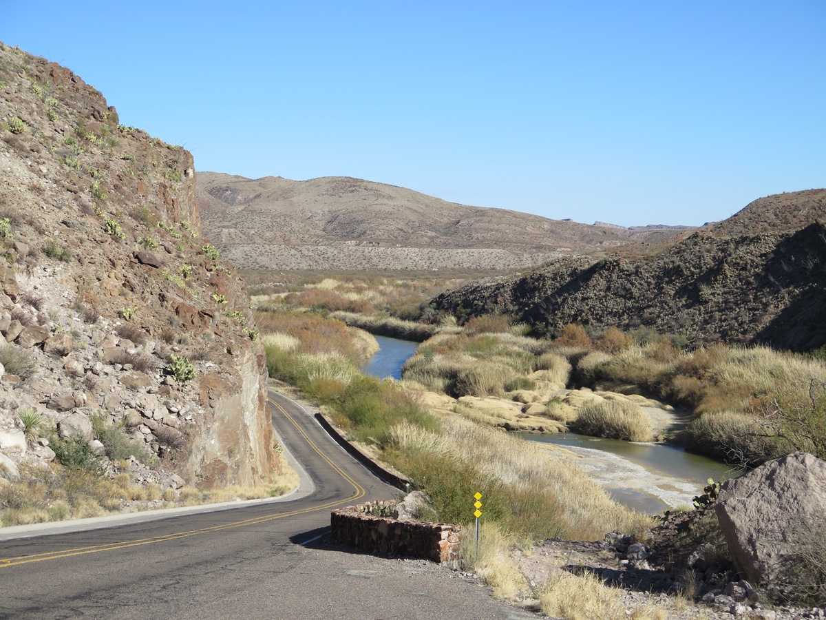
Some hoodoos (the light-colored rock formations on the right) along River Road (Texas FM 170).
According to the state park’s website, “The scenic drive along the River Road (Texas FM 170), following the meanders of the Rio Grande, is among the most spectacular in the nation.” I have to agree. The scenery was spectacular. And the weather was perfect during our visit.
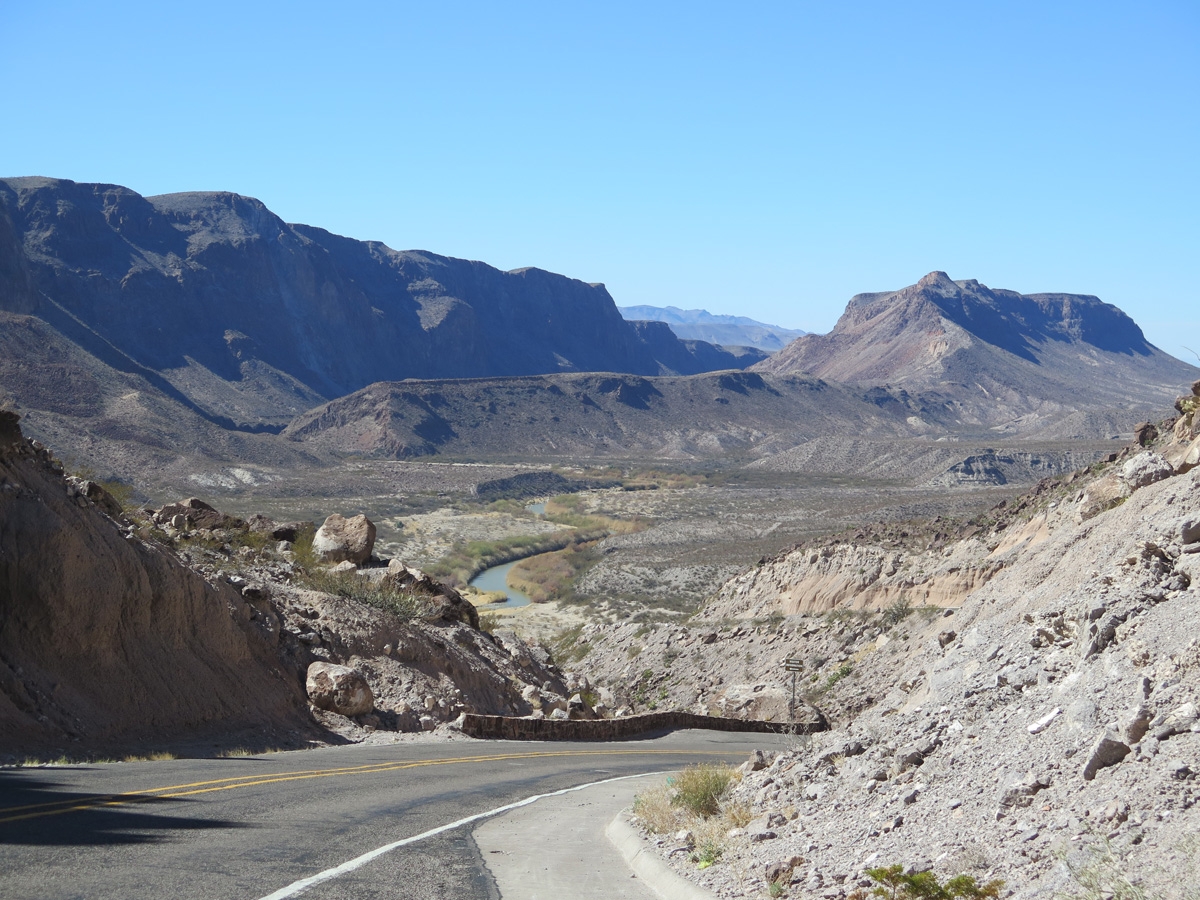
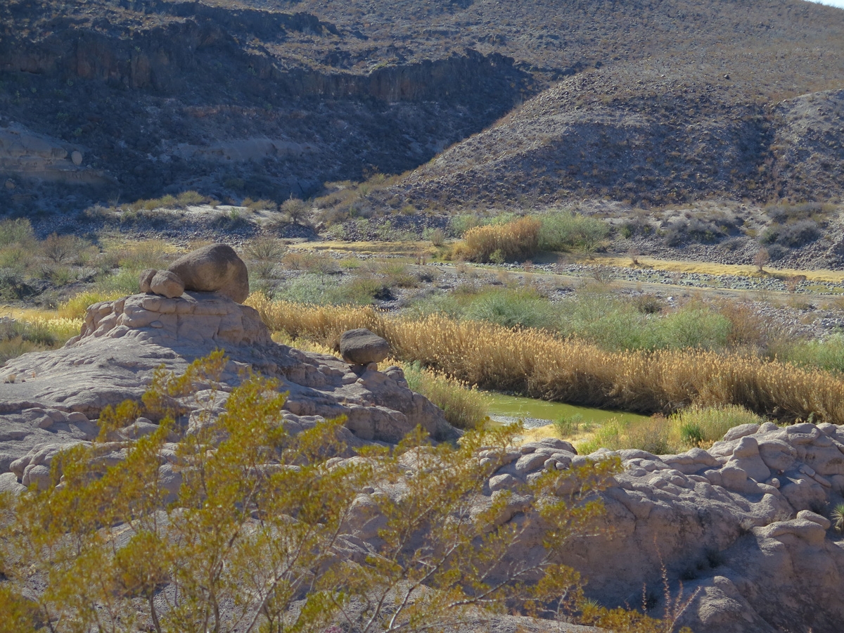
The Rio Grande River is in the valley on the left side of this pic. Mexico is on the other side of that.
You can see the Rio Grande in about the center of this image.
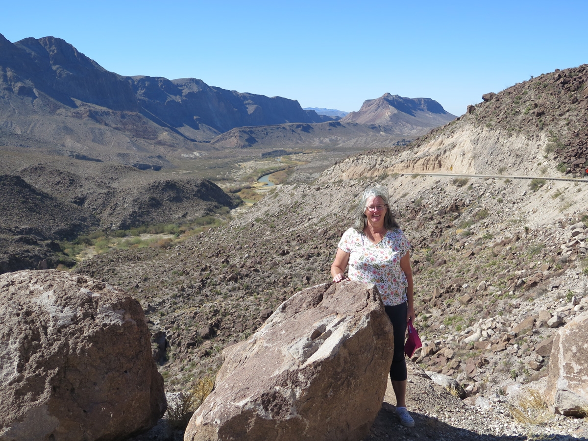
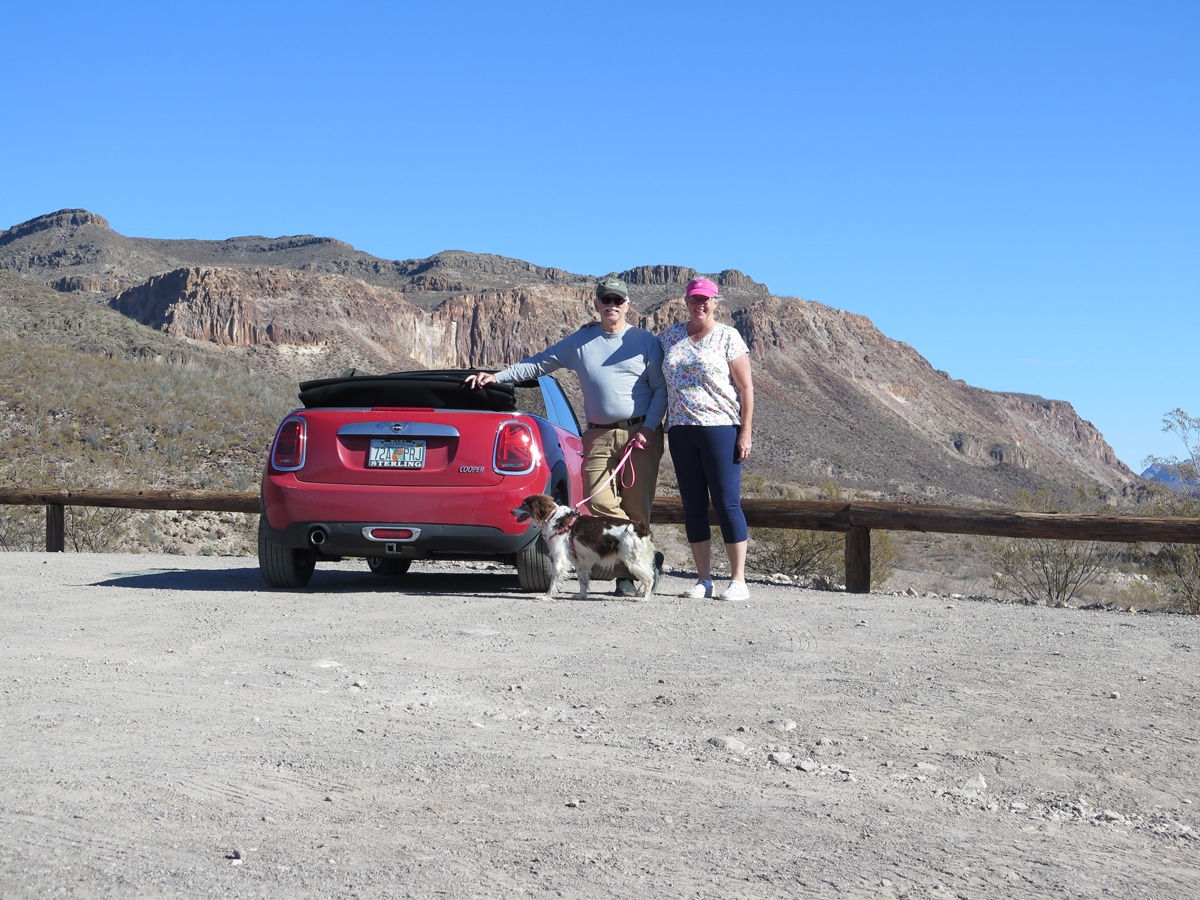
Mike made me pose. He said we need a picture of the birthday girl.
That might be mesquite bushes in the foreground.
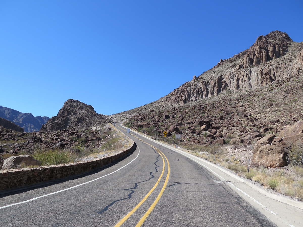
On River Road heading east.
Scenery along River Road.
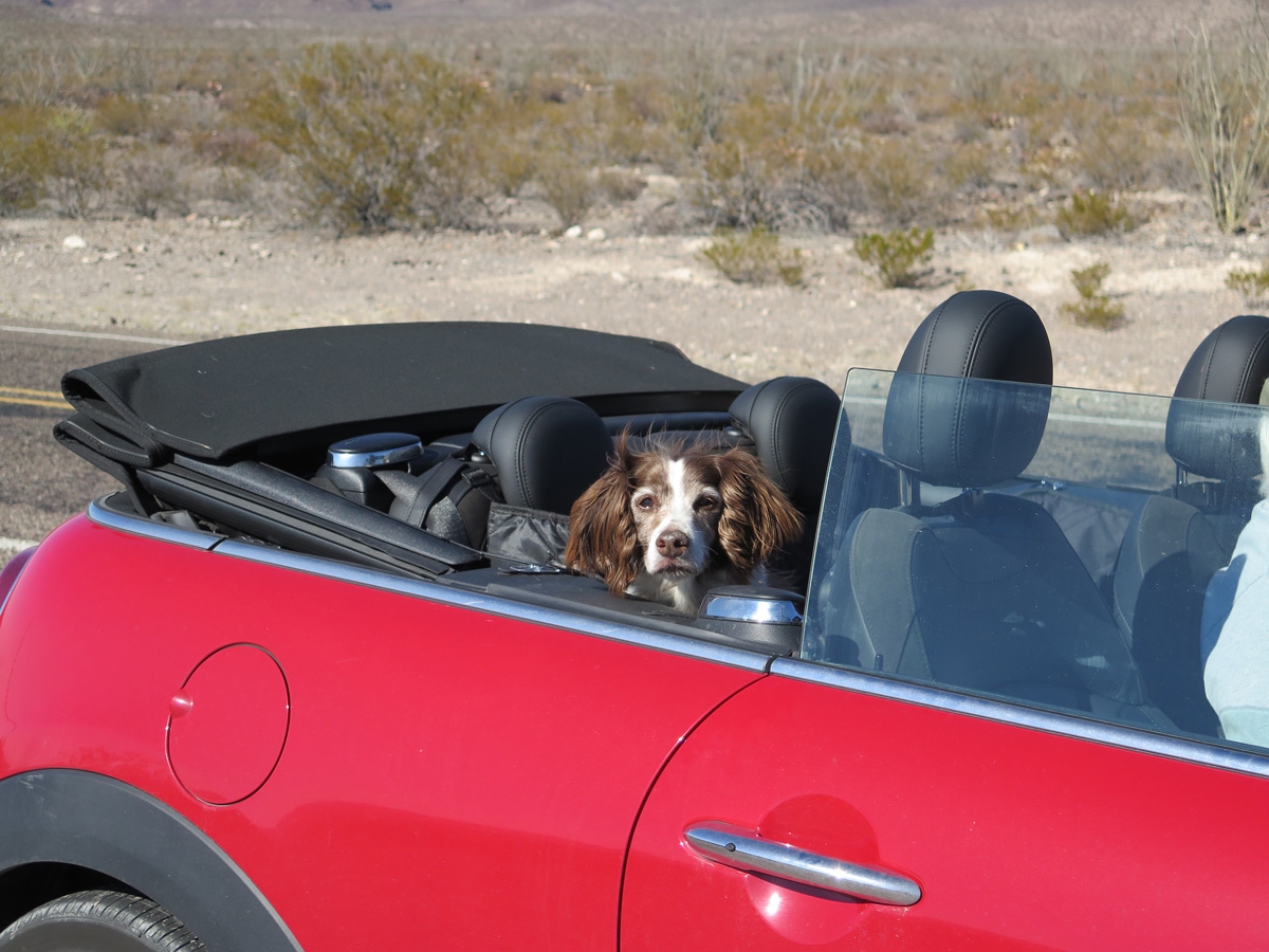
Belle
Belle hadn’t been feeling herself for a week or so. I think all of the recent changes (lots of new campsites in a short span of time) overwhelmed her. She’d been limping on her right front leg, too. That and the fact that we are in a very different environment than what she’s used to — we are near the northern edge of the Chihuahuan Desert — and there’s not a blade of green grass to be found. For a few days, she even refused to potty outside.
She’s feeling better now. A trip to the “local” vet (a 90-minute drive each way!) and some anti-inflammatory medication for the leg seems to have helped. And she’s gotten more used to the desert. We are both very happy she seems to have turned the corner and is more herself again. She’s going to be 15 in June, so we kind of take things day by day with her, making sure she’s still happy and living her best life, given her advanced years.
Multi-colored mountains along River Road.
I love seeing all the different colors in the mountains.
More hoodoos. This overlook is actually a trailhead for the Hoodoos Trail.
More rock interestingness. The green color in the center of the screen is one of my favorites.
Prickly Pear cacti with majestic mountains in the background.
Family photo! (Belle doesn’t like looking at the camera.)
Colorful vegetation forms along the banks of the Rio Grande River.
Colorful red rock mountains.
Heading east along River Road. Look at all that open space!
The size and scale of these mountains is hard to really convey properly in photos.
Looking east toward Big Bend National Park. That’s probably the Chisos Mountains in the far distance.
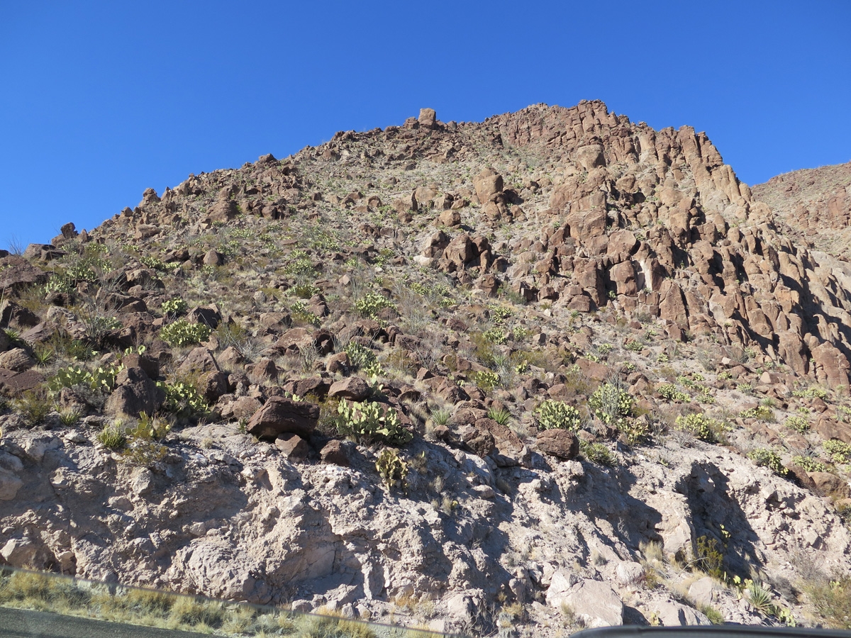
Rocky mountainside covered with various types of cacti.
A slightly closer look at the Rio Grande River.
Impressive mountain scenery heading east along River Road.
If these mountain images bore you, you probably won’t care to see the extra photos that go along with this post. If you like what you see here and want to see more, click this link to see the Google Photos album I prepared.
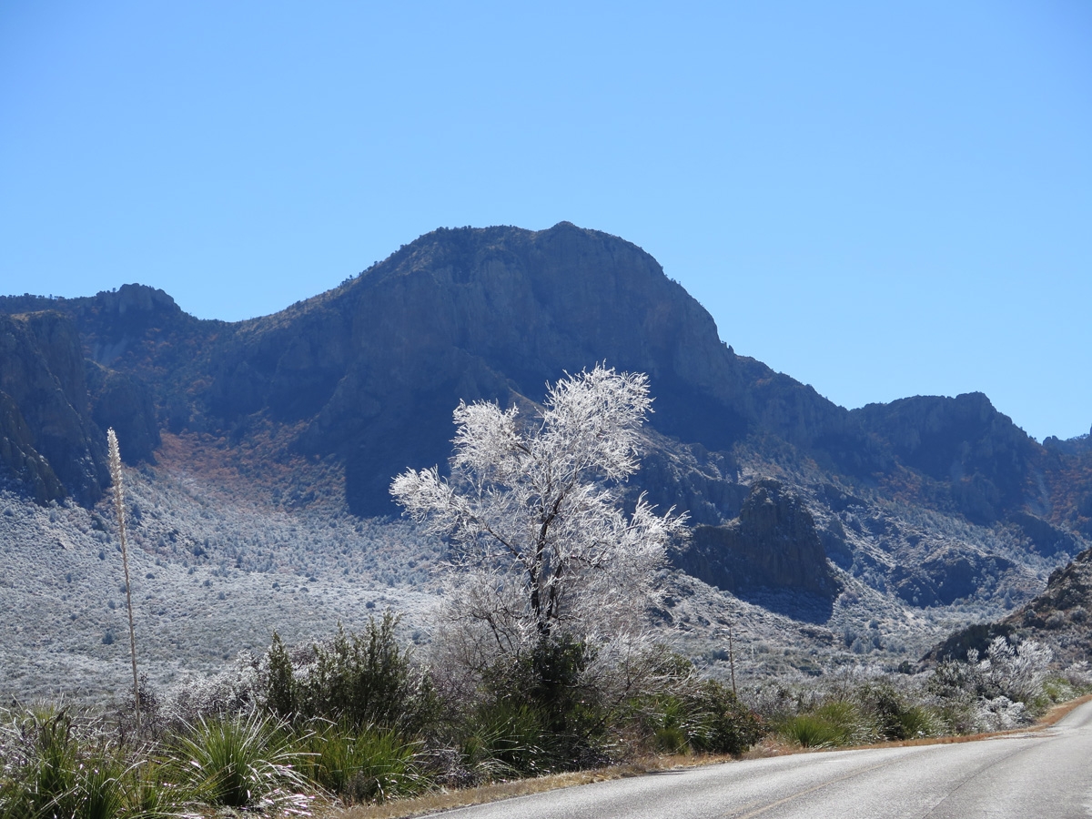
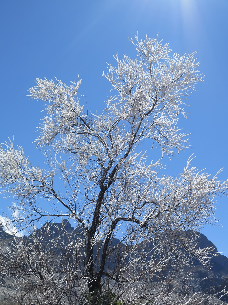
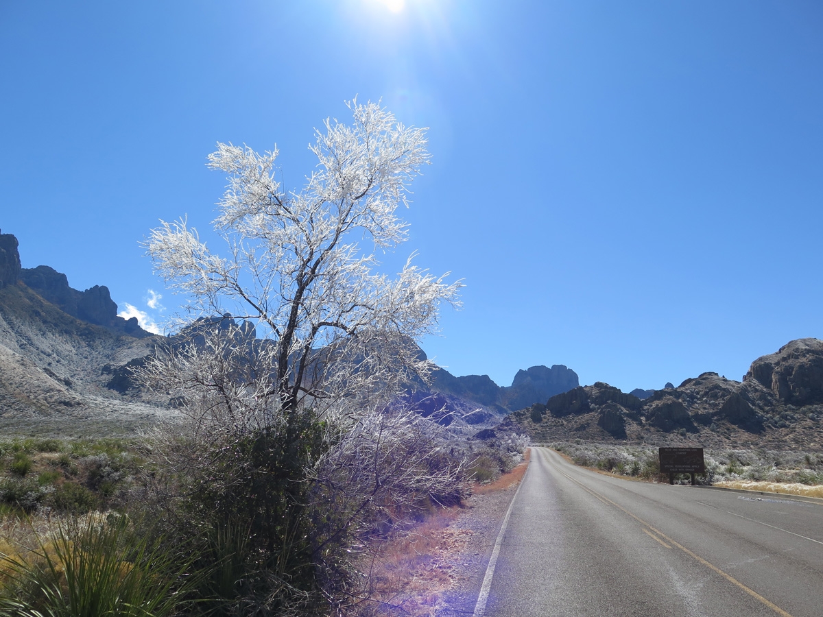
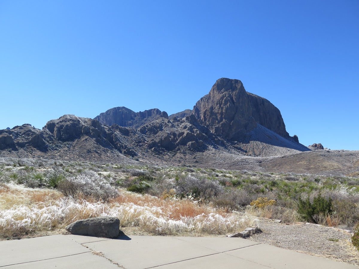
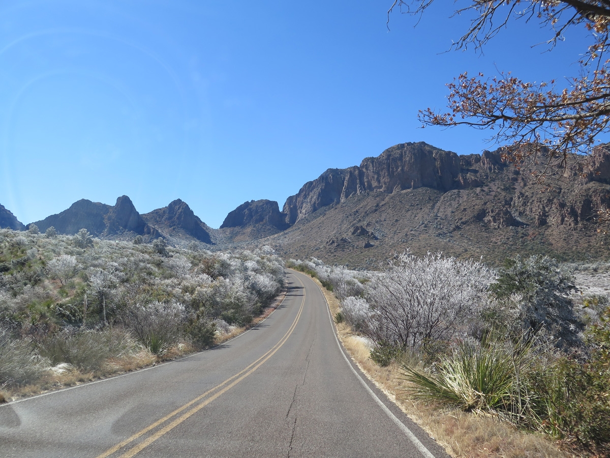
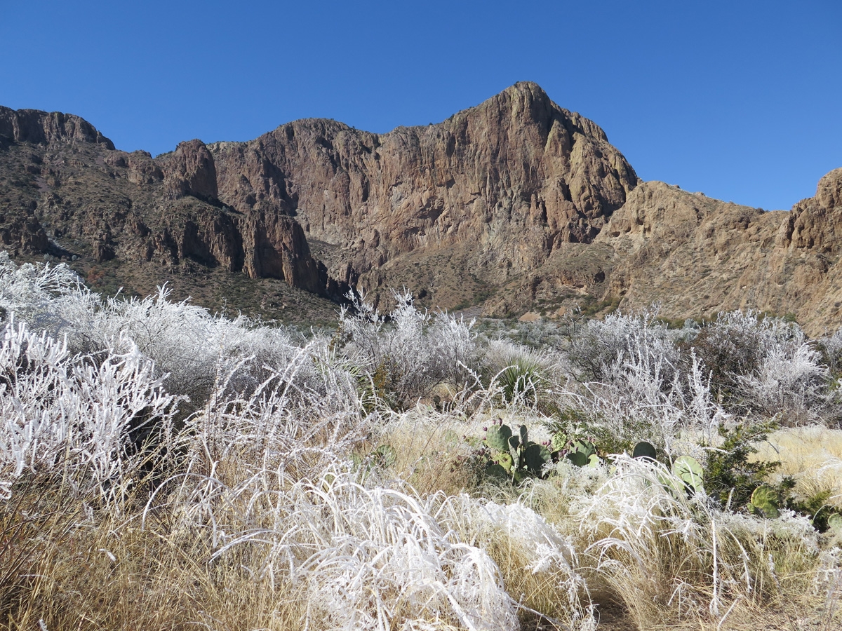
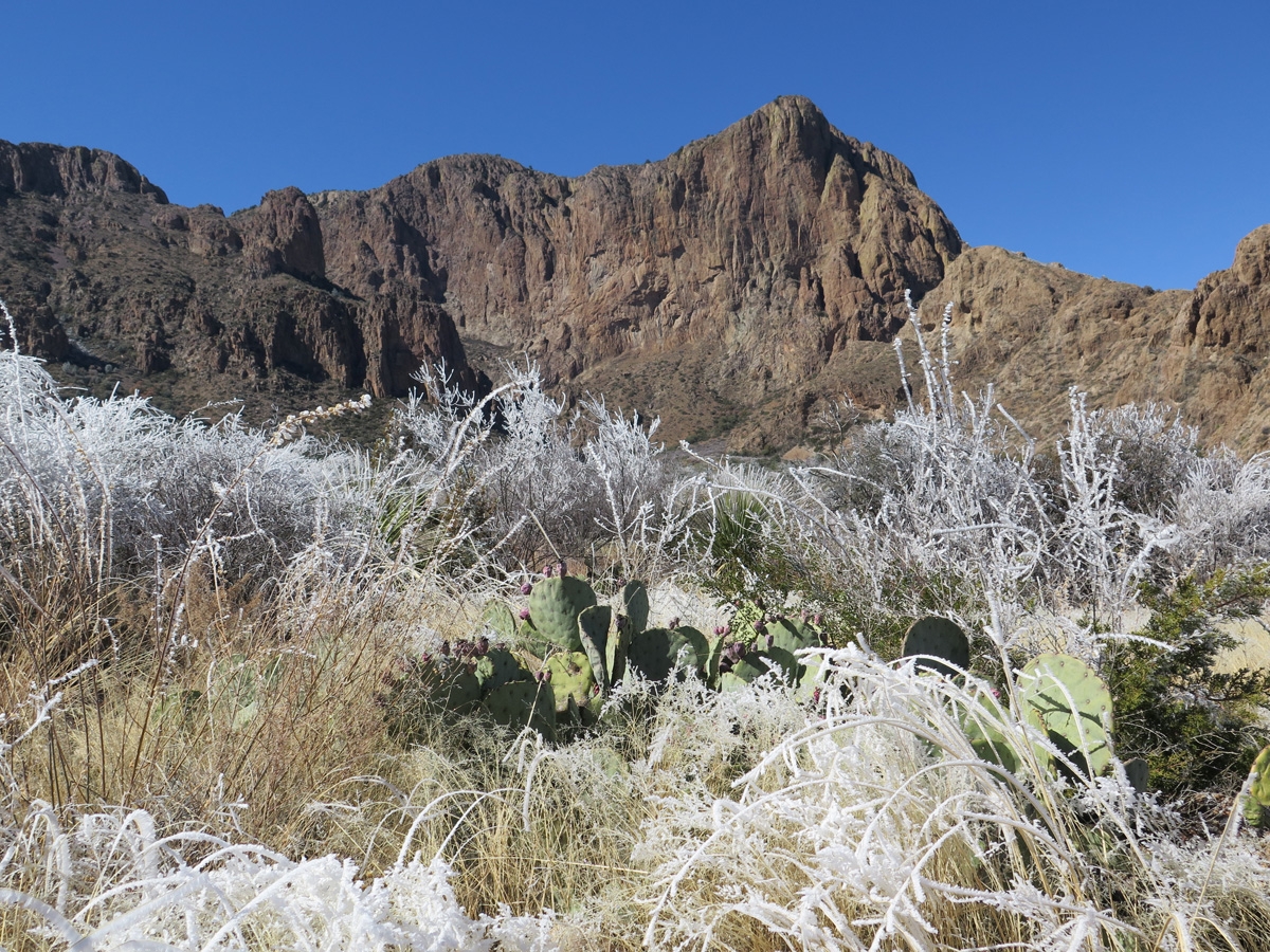
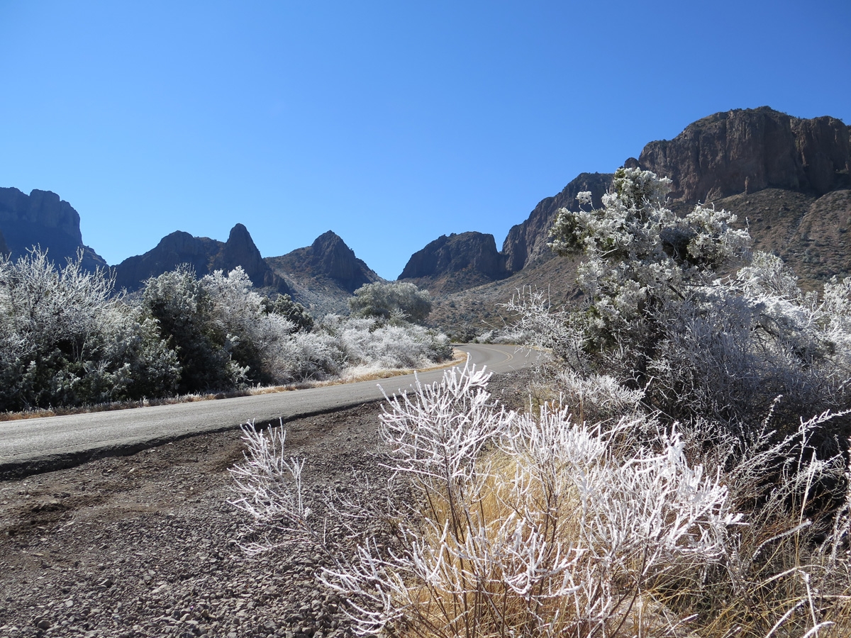
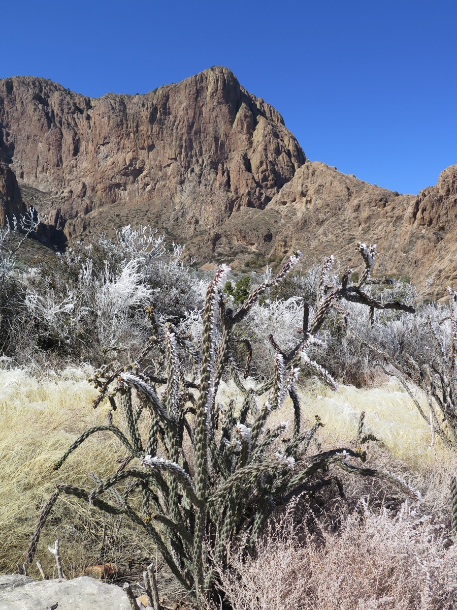
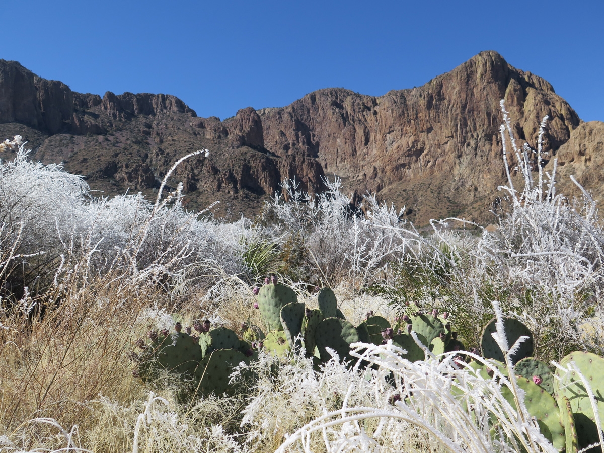
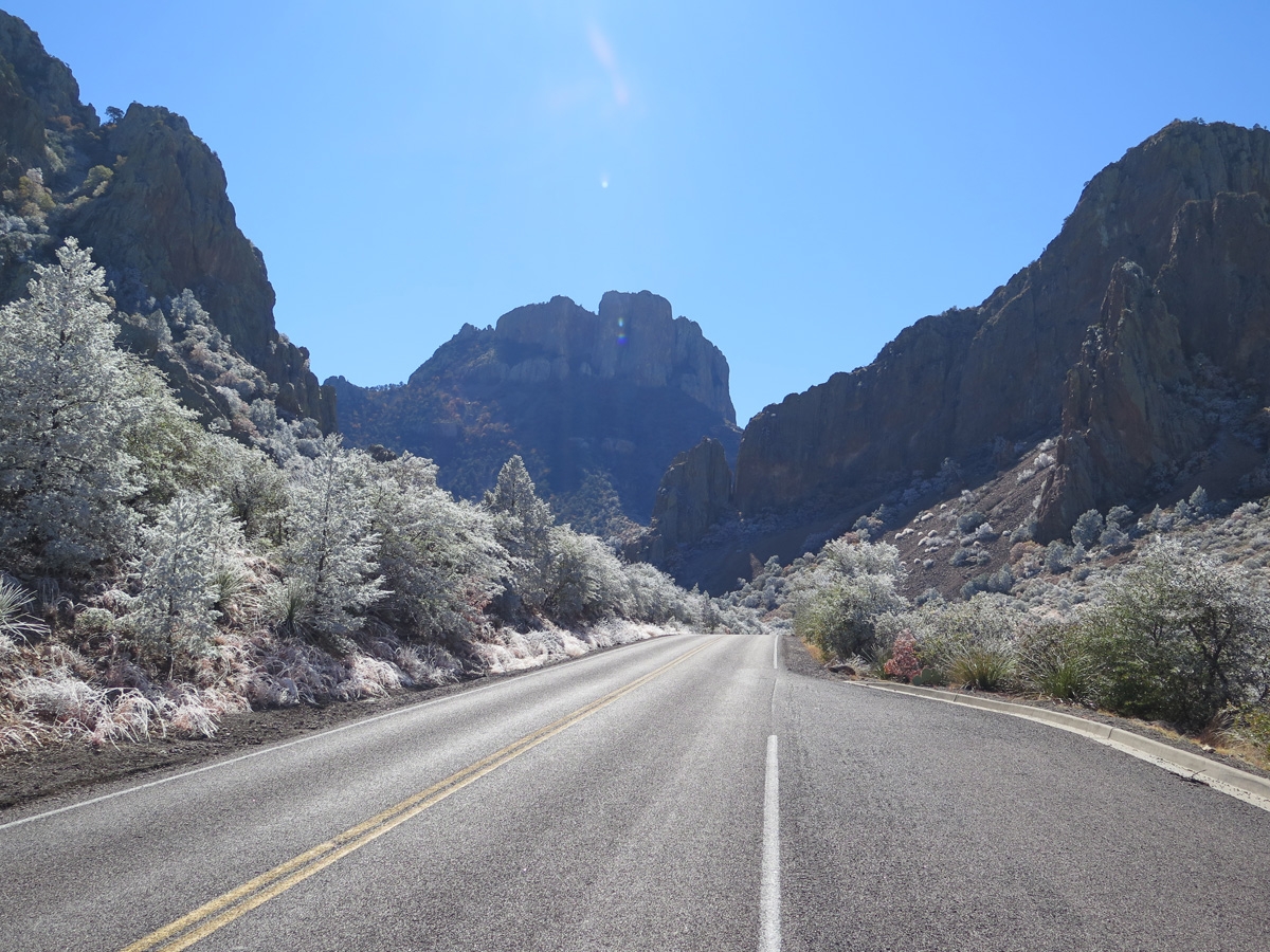
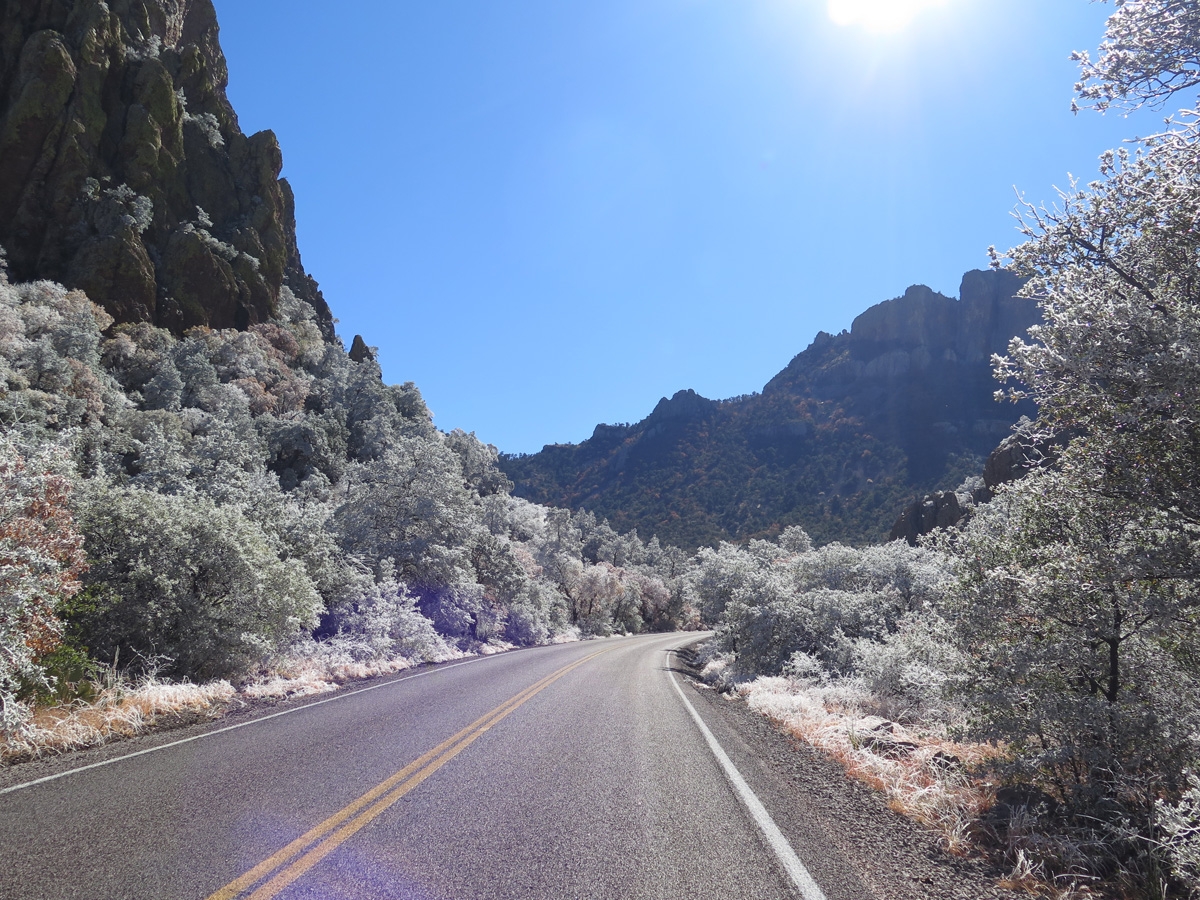
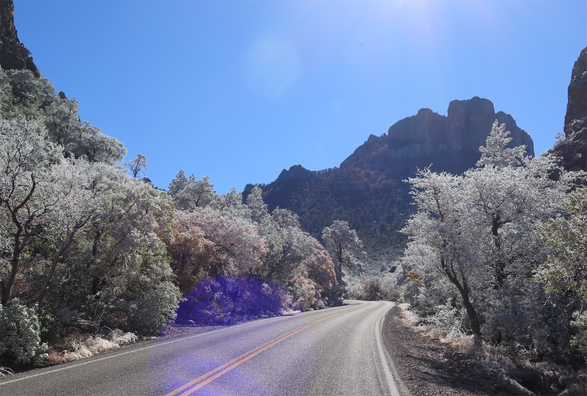
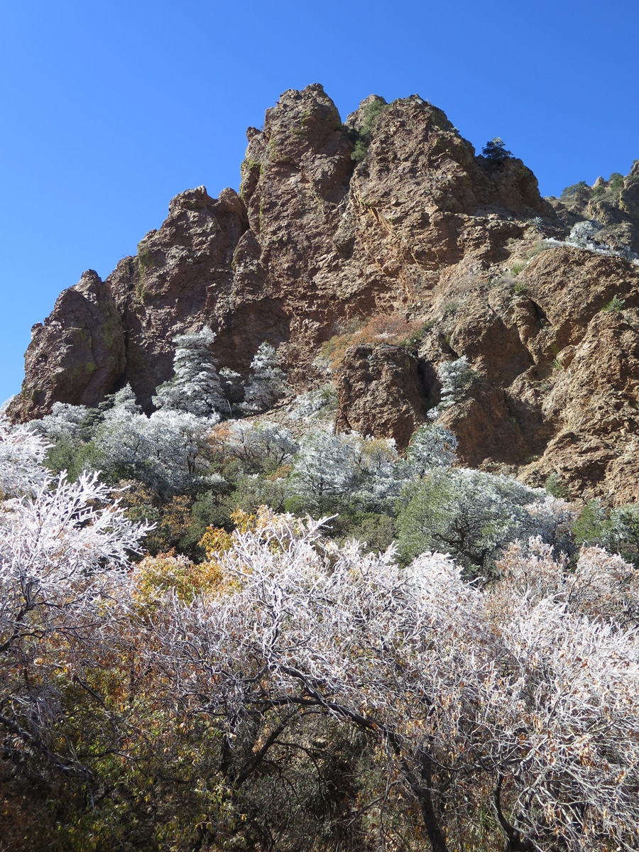
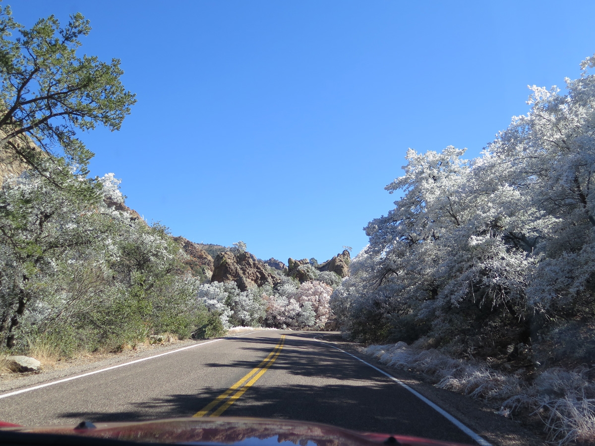
Being fortunate enough to experience Big Bend National Park (BBNP) is a treat in and of itself. That enjoyment was elevated quite a bit on Friday when, upon driving into the Chisos Mountains within BBNP, we realized hoar frost had coated some of the area. It was really, REALLY cool (pun intended!).
This tree really stood out.
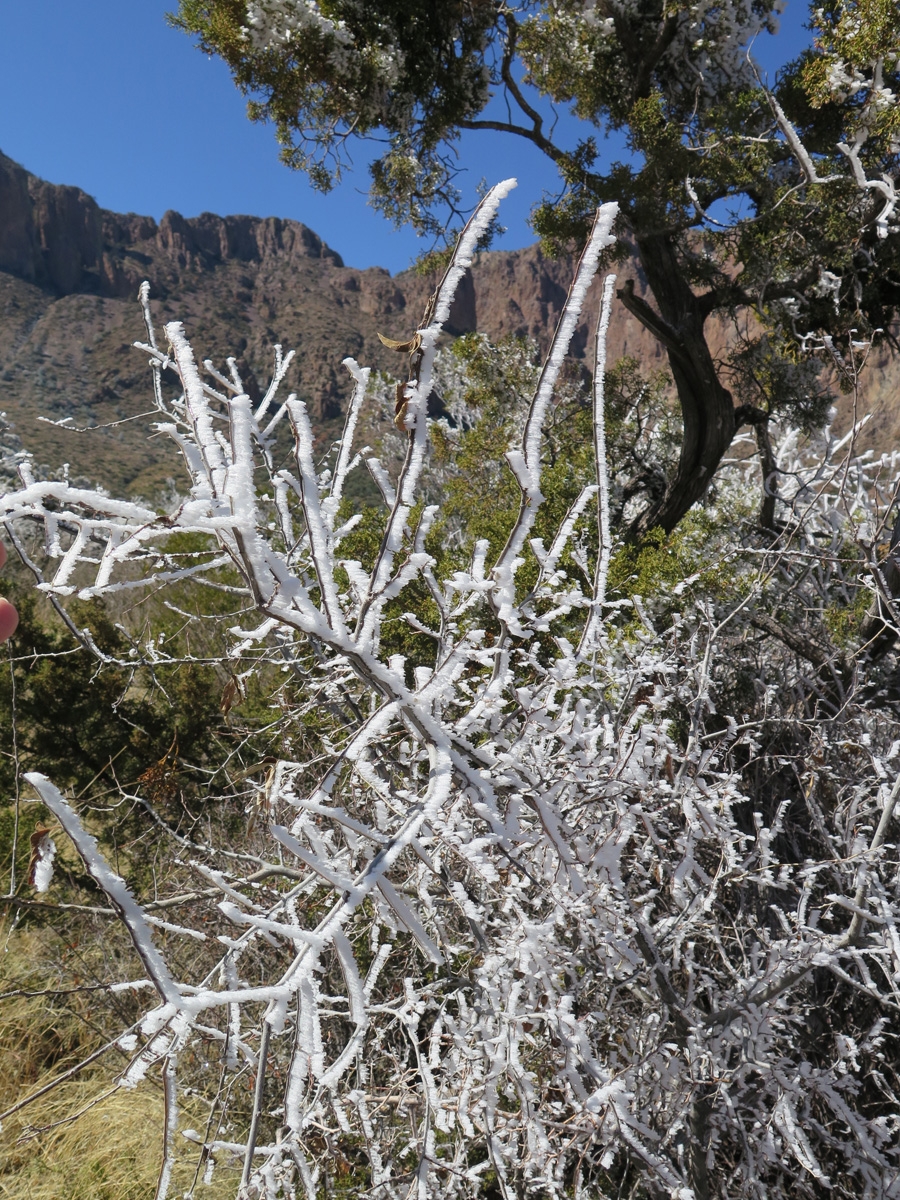
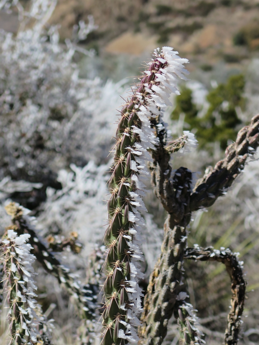
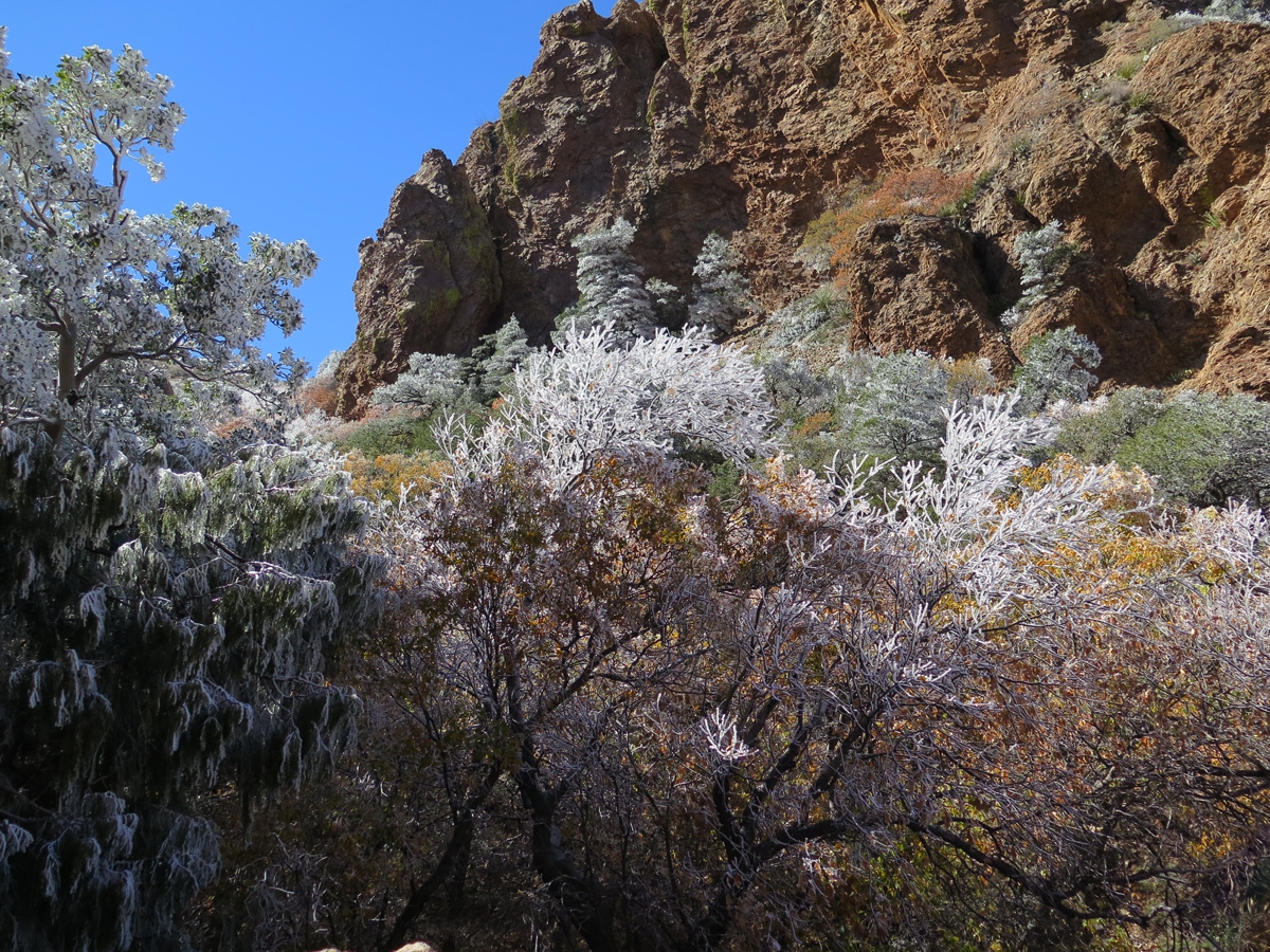
Neither of us had ever experienced frost like this. I’m not entirely sure it’s hoar frost, it could be rime ice. One clue is that the frost only formed on one side of the vegetation (see pic below). For sake of simplicity, I’ll just call it hoar frost from here on out.
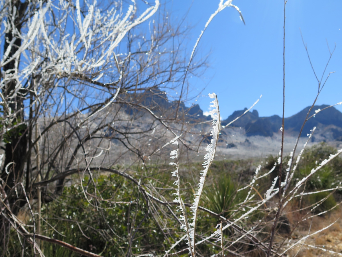
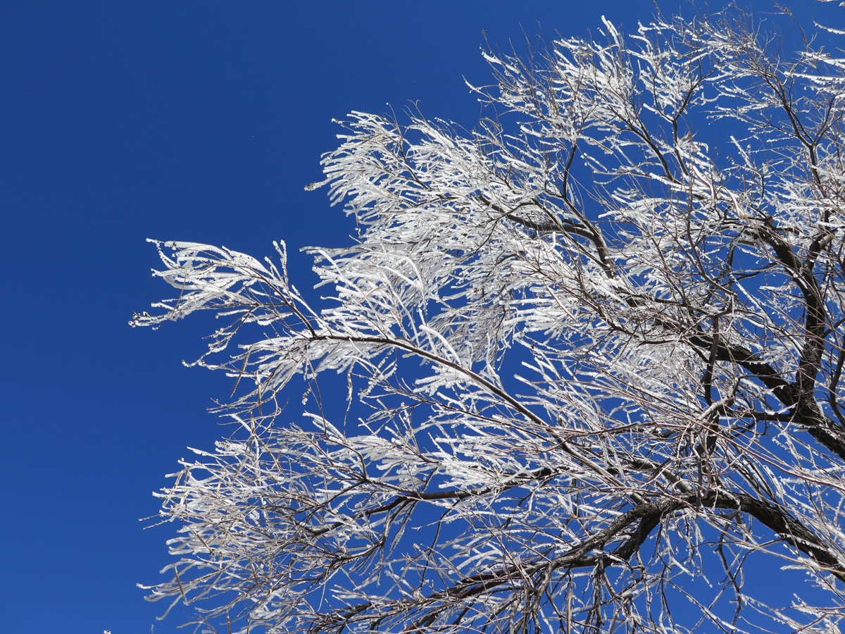
Upon close inspection, you can see the ice crystals are only on one side of the individual branches and stems.
Whatever kind of frost it was, it sure was pretty.
According to the volunteer at the visitor center, frost like this is pretty rare. It only happens once, maybe twice a year. And the atmospheric conditions have to be just right for it to occur.
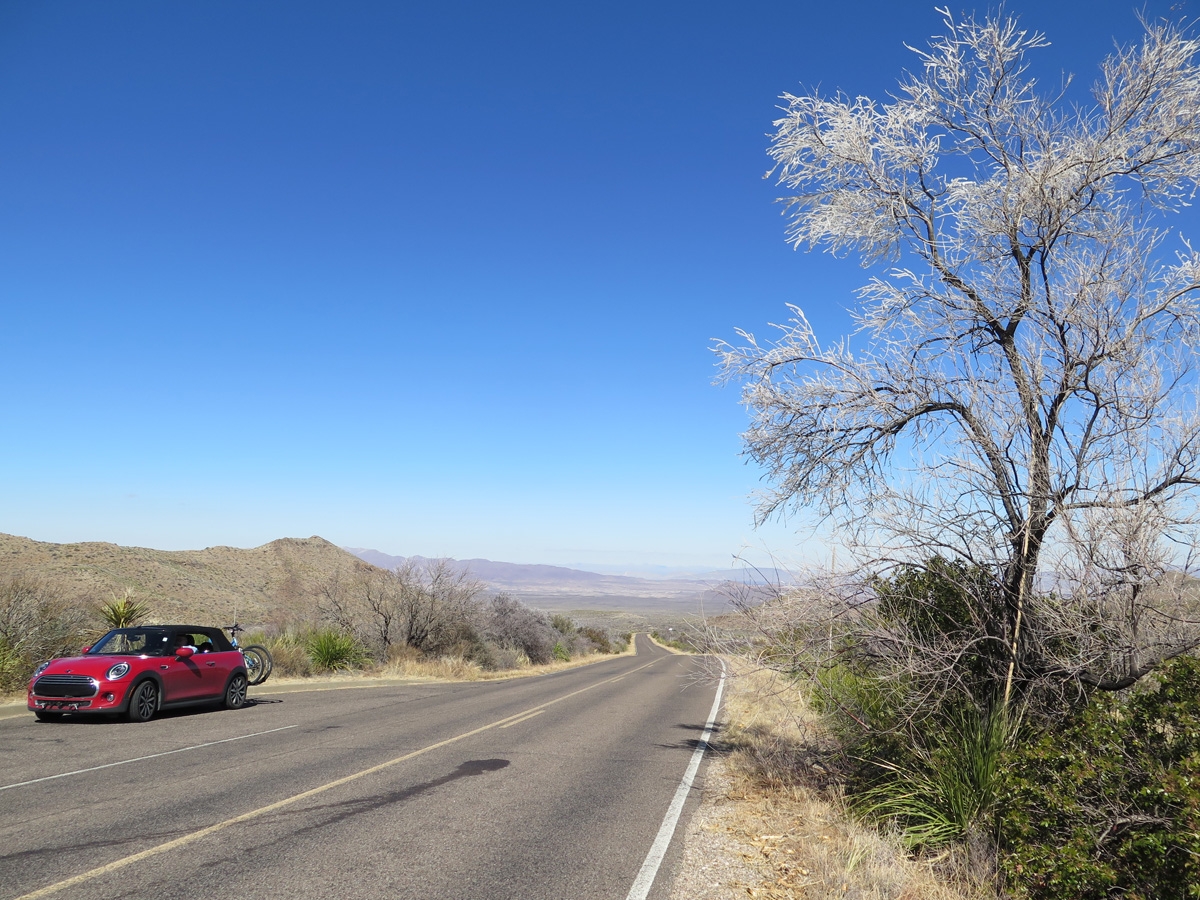
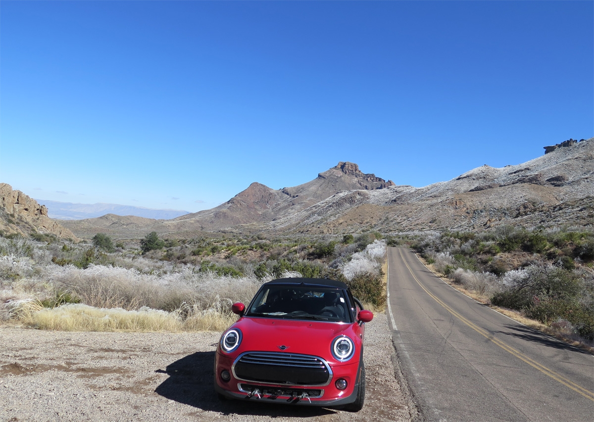
Hoar frost as seen on the road into the Chisos Mountains.
Hoar frost
Hoar frost (click on pic to get a close-up view)
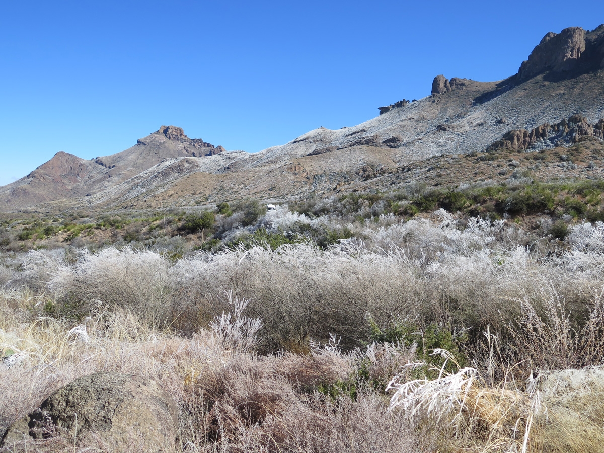
Frosty vegetation near the foot of the Chisos Mountains.
Frosty vegetation along the road into the Chisos Mountains.
Frosty vegetation.
It’s odd how the frost didn’t seem to settle on the Prickly Pear Cactus.
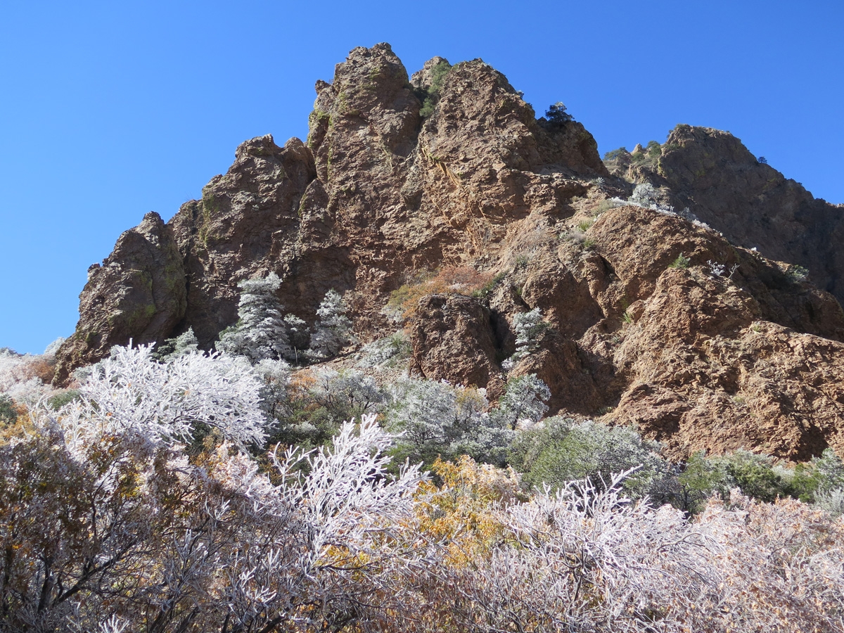
The frost made an already beautiful landscape even more special.
Frost blanketed this area.
Close-up look at the hoar frost. See how it’s only on one side of the branches and stems?
Frosty hillsides and vegetation.
There was a bit of frost on this cactus. I think that’s an Ocotillo, but I could be wrong.
Closer look at what I think is an Ocotillo Cactus somewhat covered in frost.
Frosty vegetation.
The frost on the vegetation sure made for a sparkly ride.
Sparkly vegetation.
Look at the shimmery trees.
I took lots of pictures, trying hard to capture the beauty of the scenery. I’m not convinced pictures can do it justice.
Colorful vegetation under frost.
Colorful vegetation under frost.
Colorful vegetation under frost.
A wintry wonderland in the desert.
In case any of you have ever wondered, I do realize how blessed we are to be able to have this experience. I am thankful every day that we get to wake up and enjoy full-time RV life. It isn’t all sunshine and roses, no matter how wonderful and prefect my pictures make it look, but it is pretty fun.