We left Fredericksburg, Texas on February 1 and headed west and slightly south to Terlingua, Texas, which is where we are staying while we visit Big Bend National Park (BBNP).
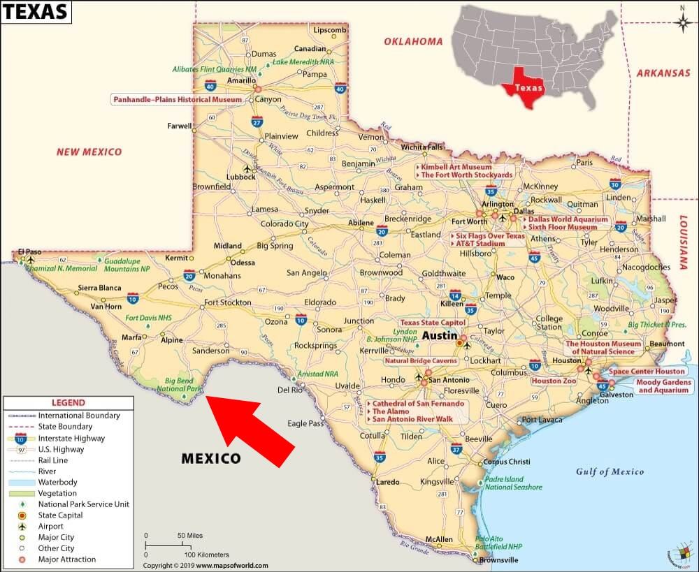
Terlingua is only a few miles away from one of the park entrances. I added a red arrow to the map shared below (from Mapsofworld.com) to show you where BBNP is located. It’s pretty remote.
The map is from Mapsofworld.com
It took us about six hours to get here from Fredericksburg. We left on a Tuesday. On Thursday, just about all of Texas was under a winter weather warning for snow and ice. The Big Bend region was spared the precipitation, but it did get pretty cold. So cold, in fact, that the campground had to turn off their water to prevent the system from being damaged by freezing.
We just hung out around the campsite on Wednesday and Thursday. On Friday, we decided to take a drive into the national park.
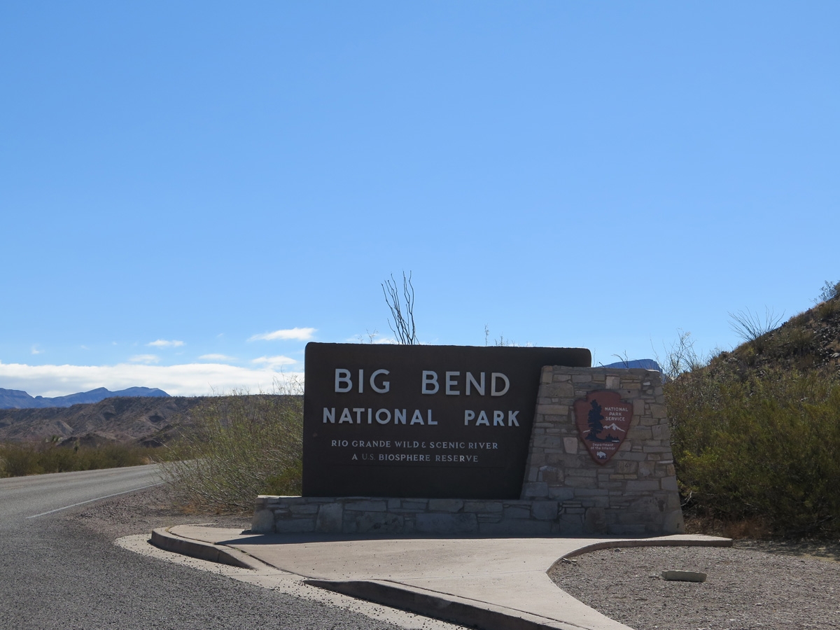
Entrance sign.
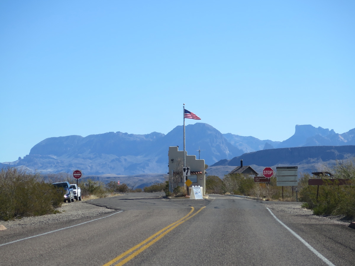
Cute little entrance station.
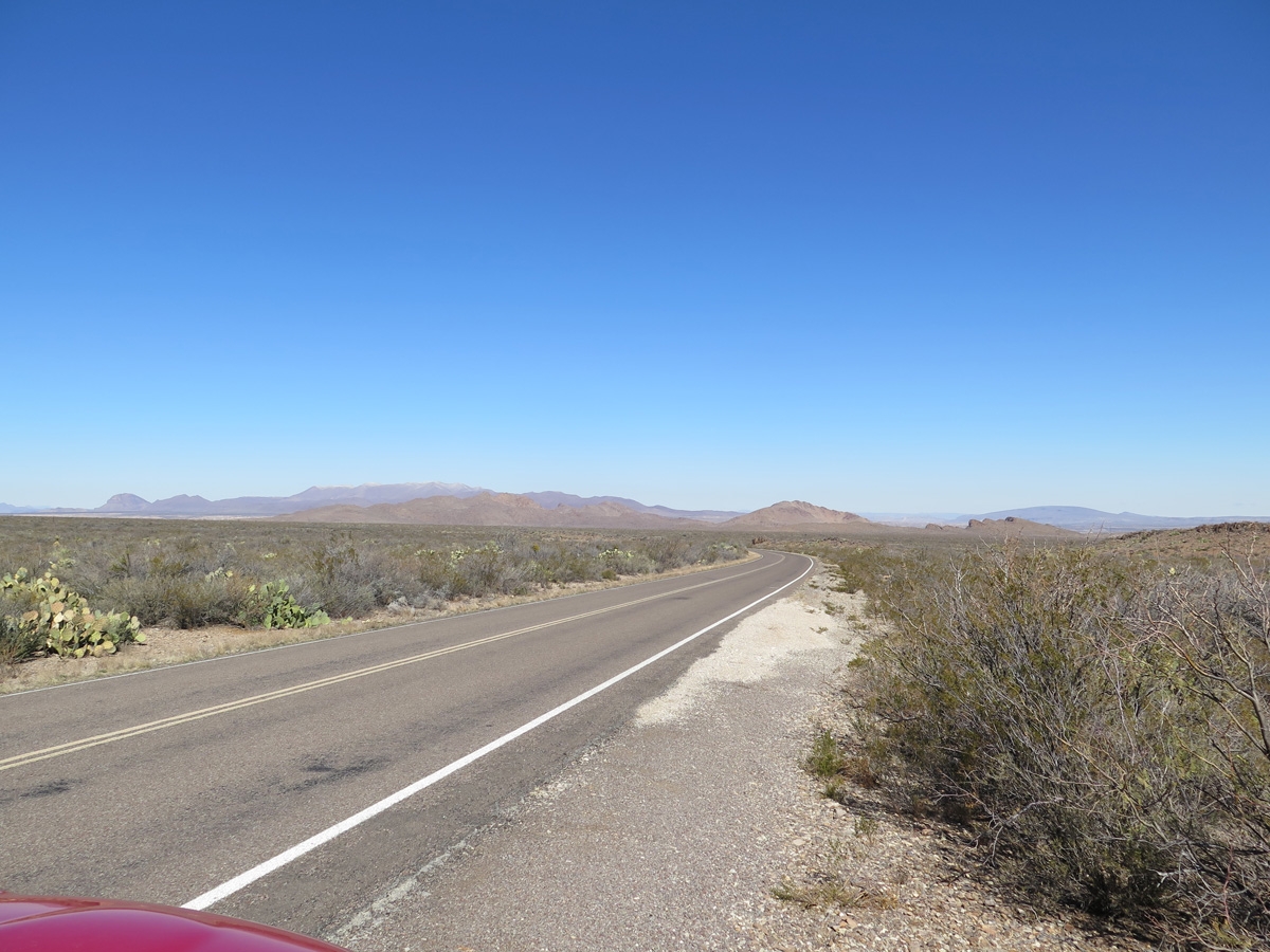
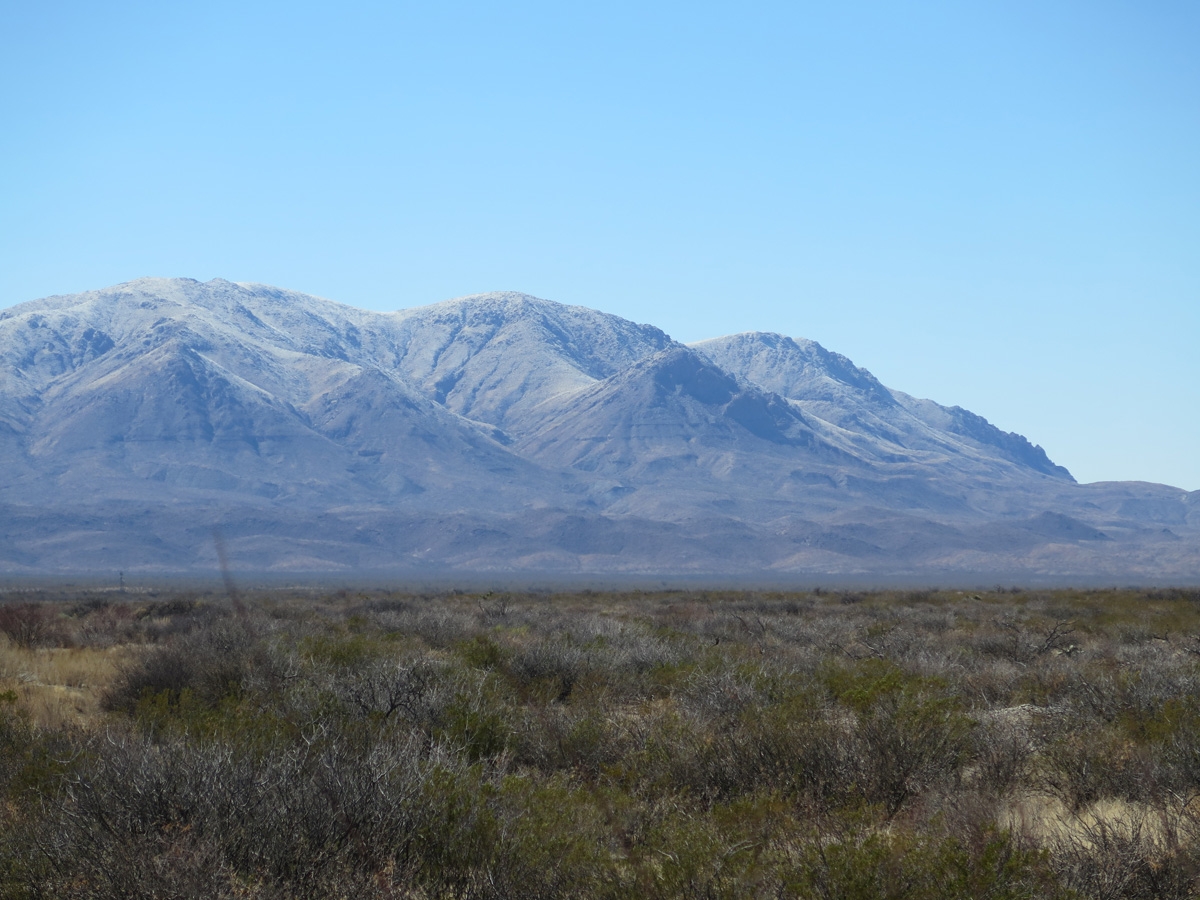
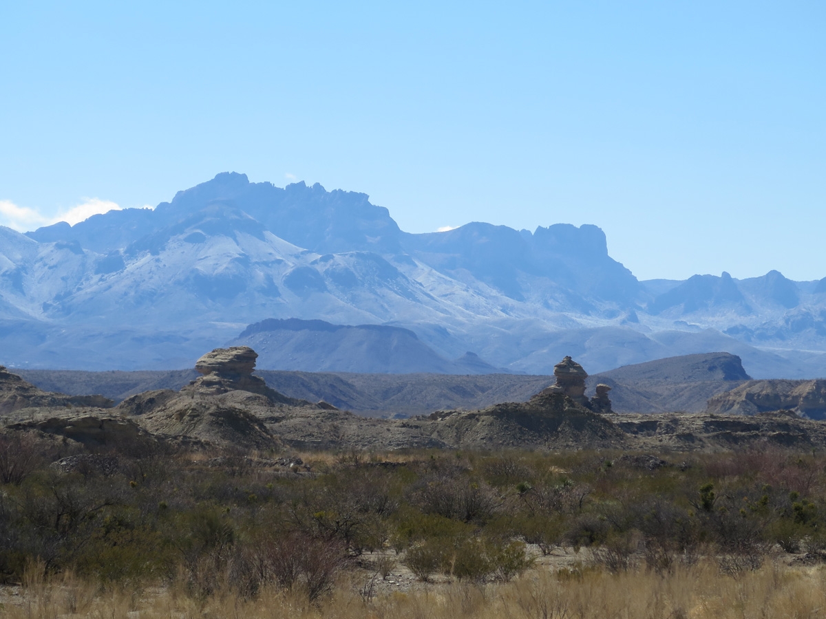
The park looks pretty small on the map I shared above, right? Relative to the state of Texas, it is kinda small. But Texas is a huge state. It’s hard to imagine just how big this place is until you are here.
The enormity of this place is mind-boggling.
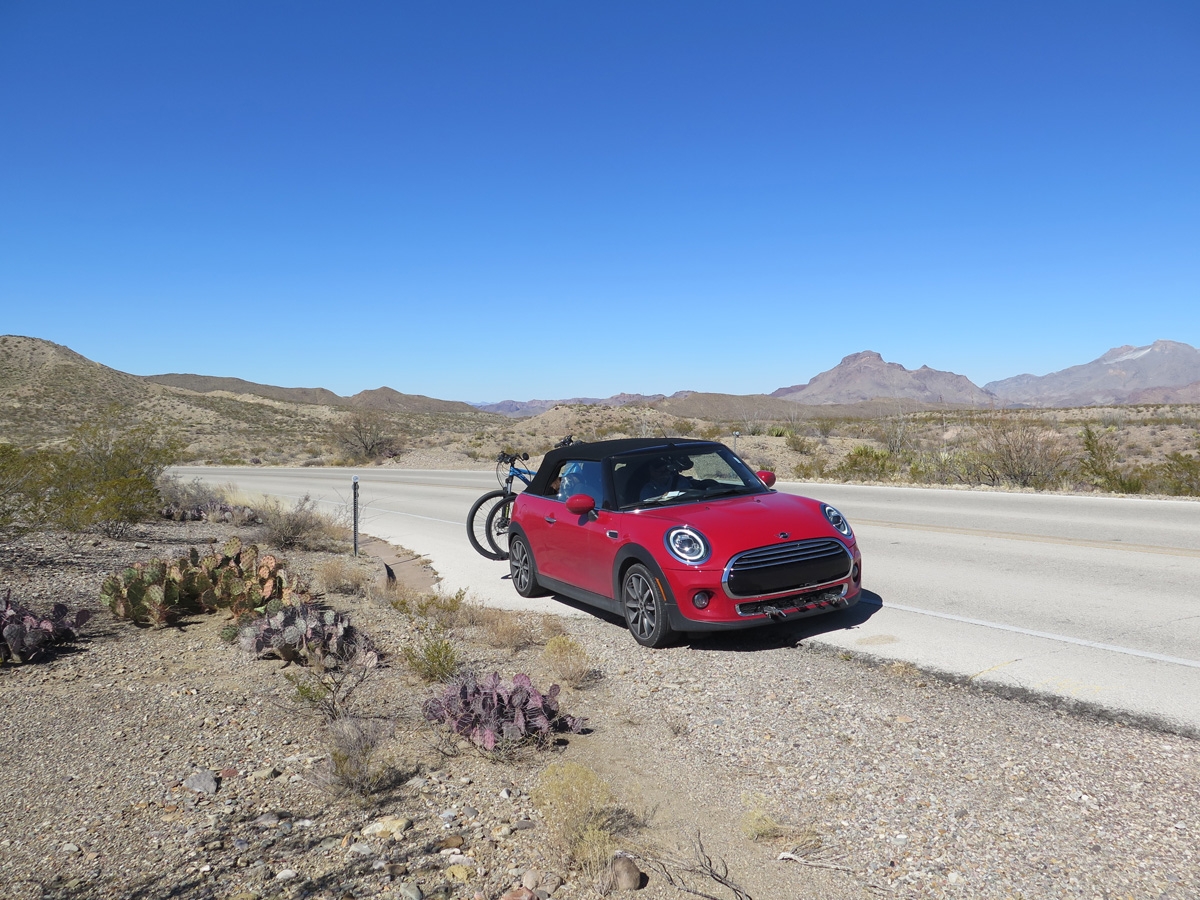
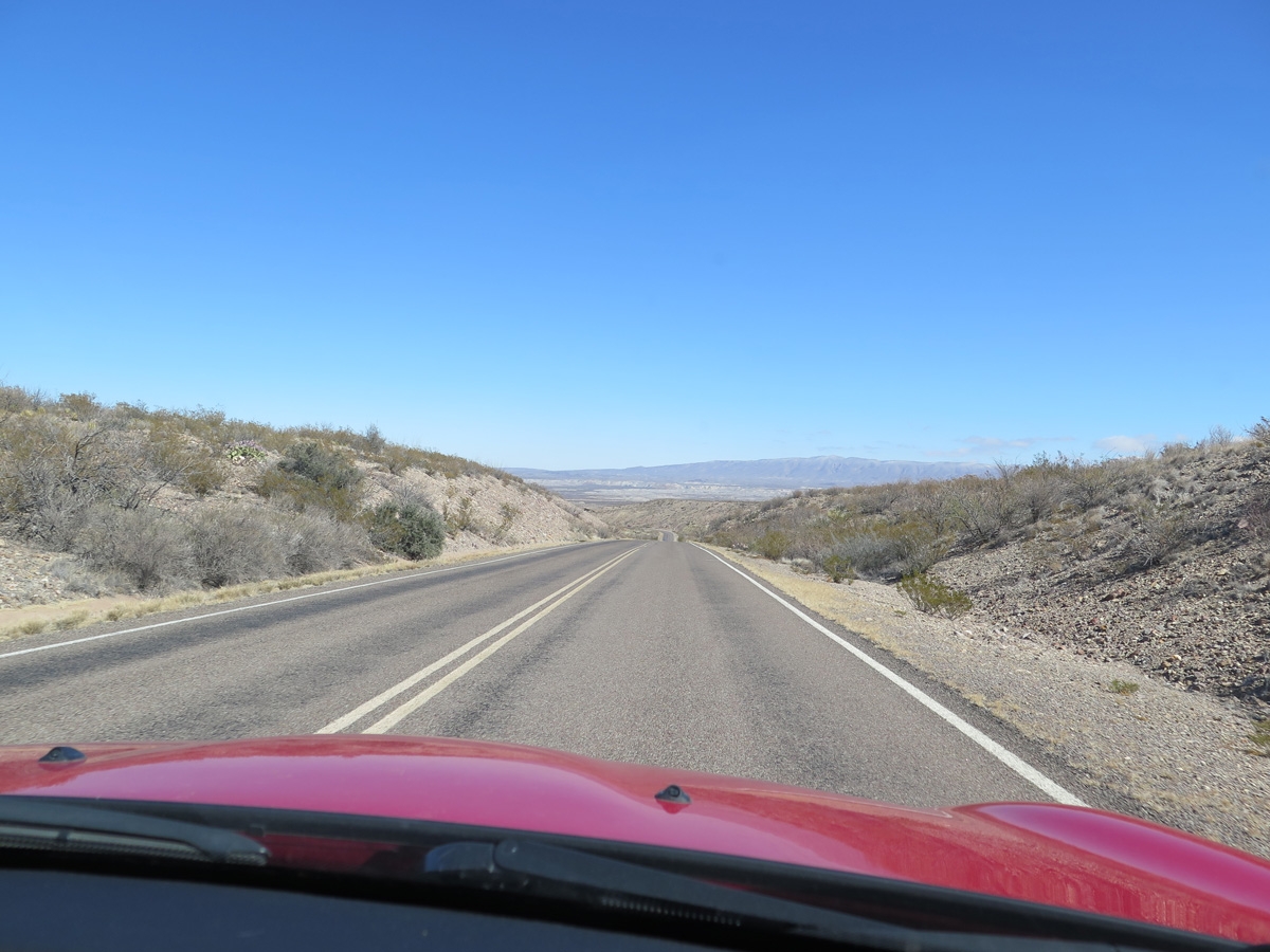
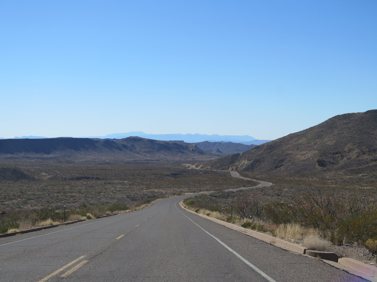
As seen along one of the park roads.
As seen along one of the park roads.
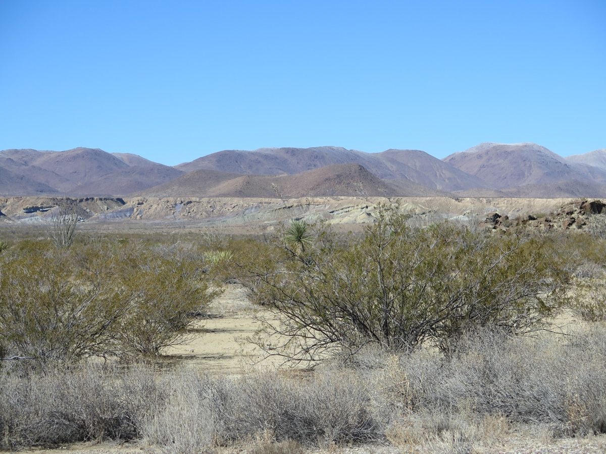
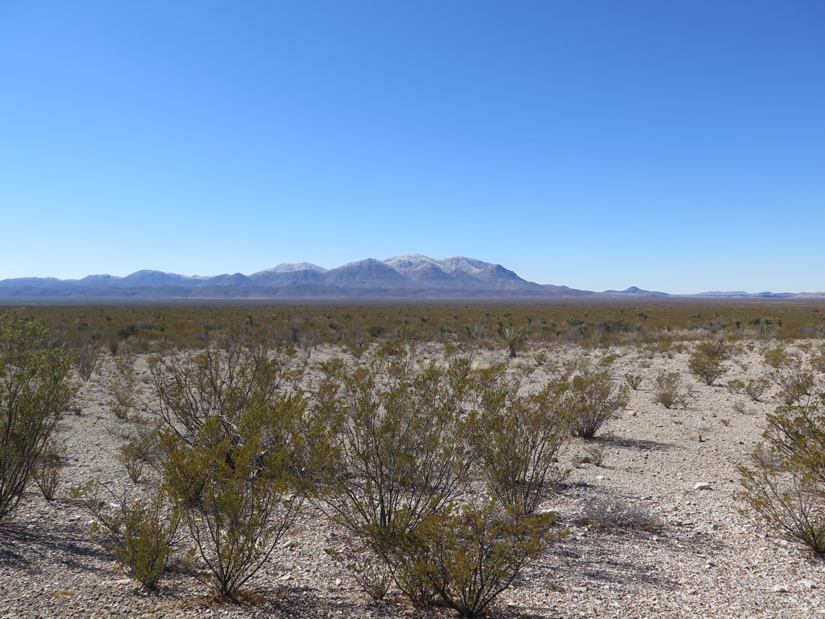
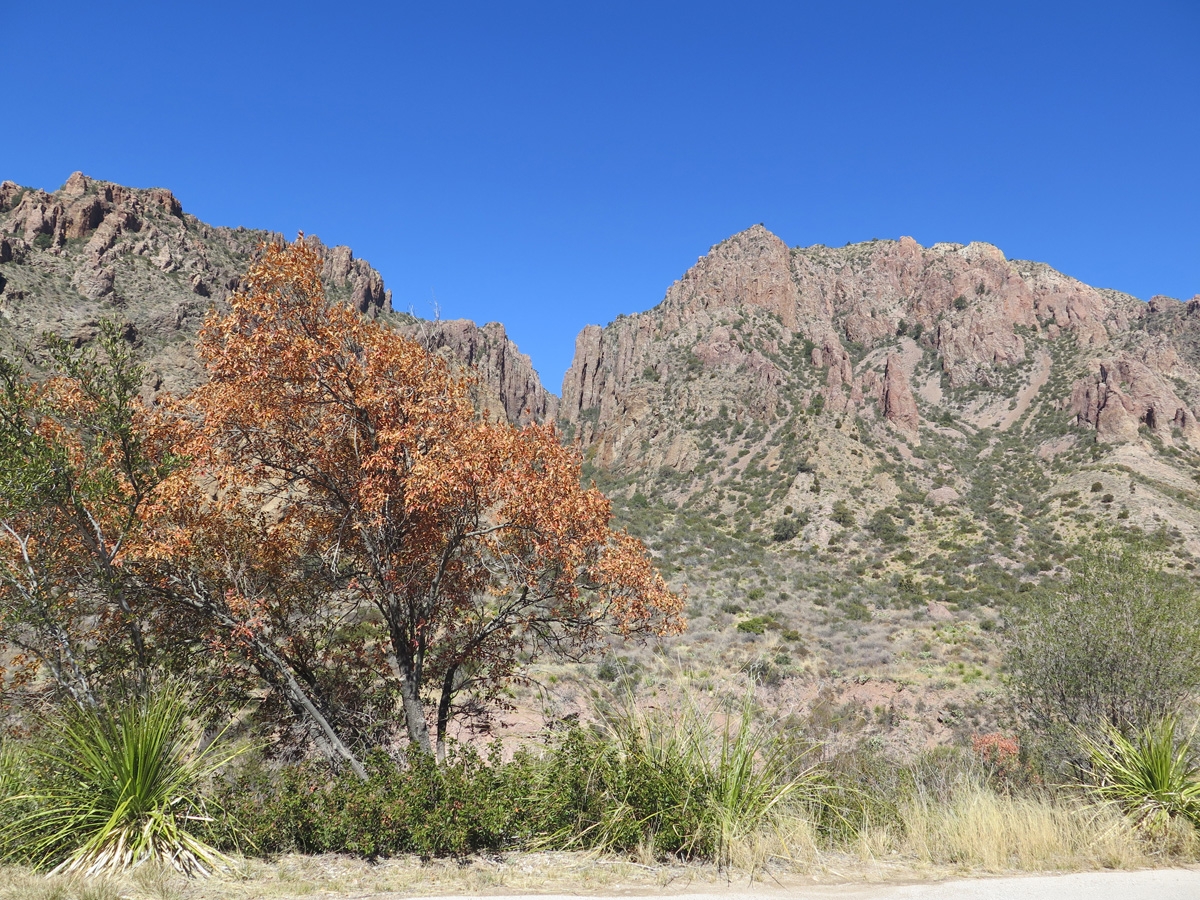
Desert vegetation and mountains.
More desert vegetation and mountains. Some of the Prickly Pear Cactus are pink, but I’m not sure why.
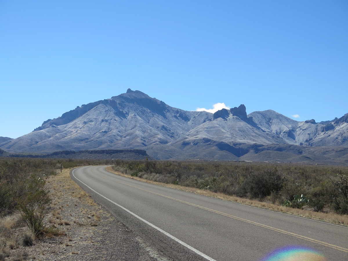
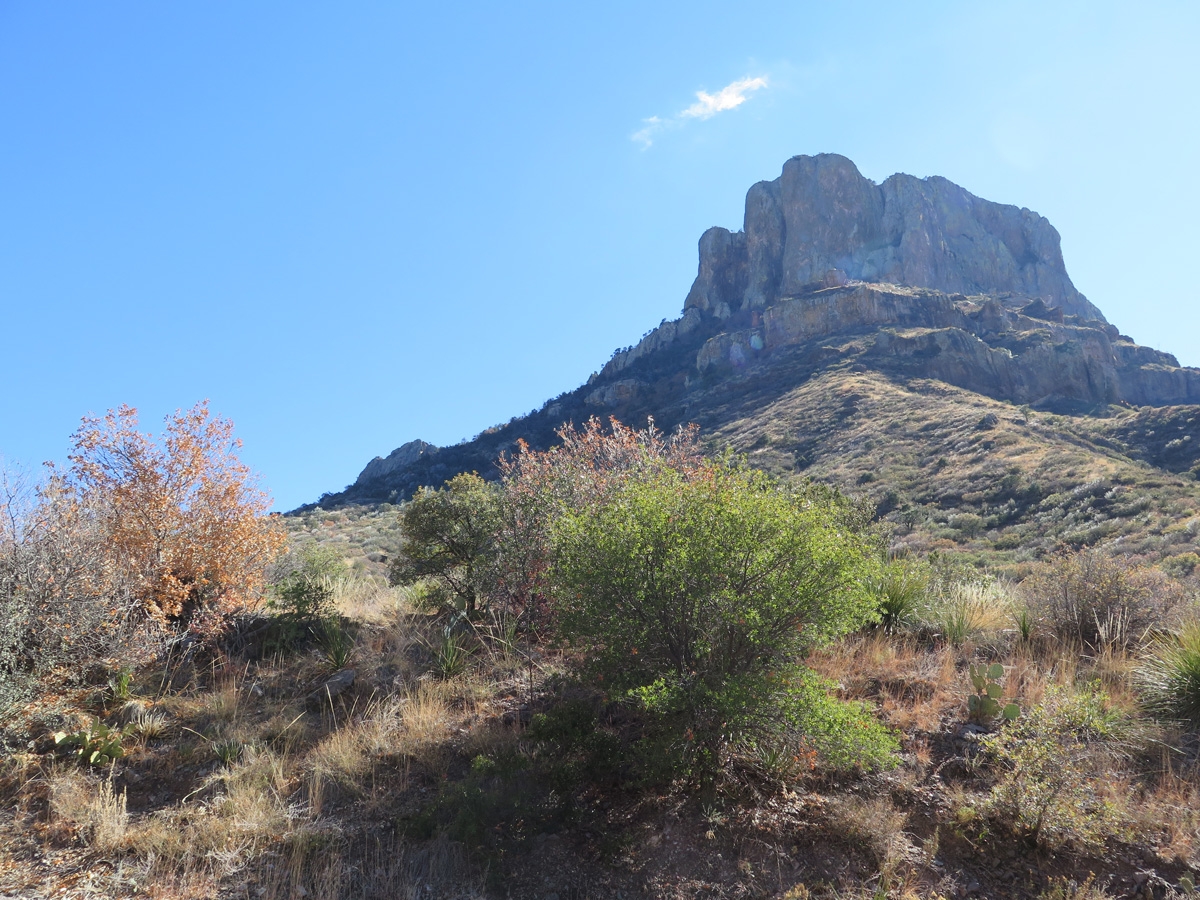
Chisos Mountains looming over the desert vegetation in the foreground.
Chisos Mountains
One of the unique features of BBNP is that it has its own mountain range, the Chisos Mountains. As noted on Wikipedia, “The mountain system covers 40 square miles (104 square km) and is contained entirely within the boundaries of Big Bend National Park, making it the only mountain range in the United States fully contained within a national park.”
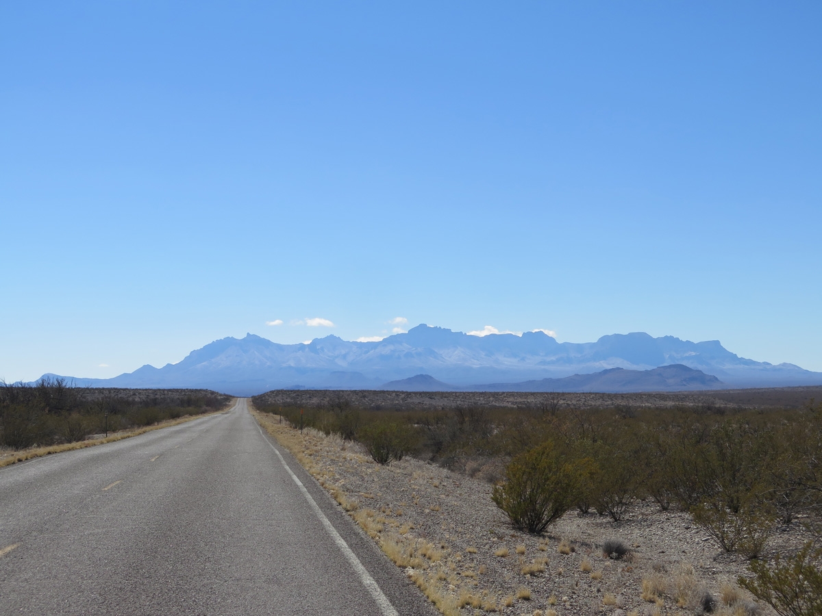
Long view of the Chisos Mountains.
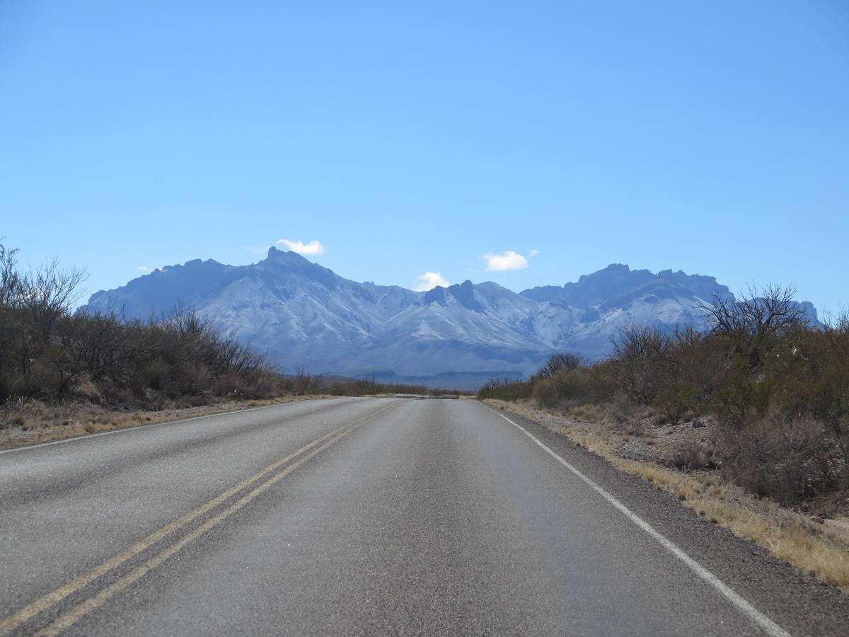
Driving toward the Chisos Mountains from the northern side of the park.
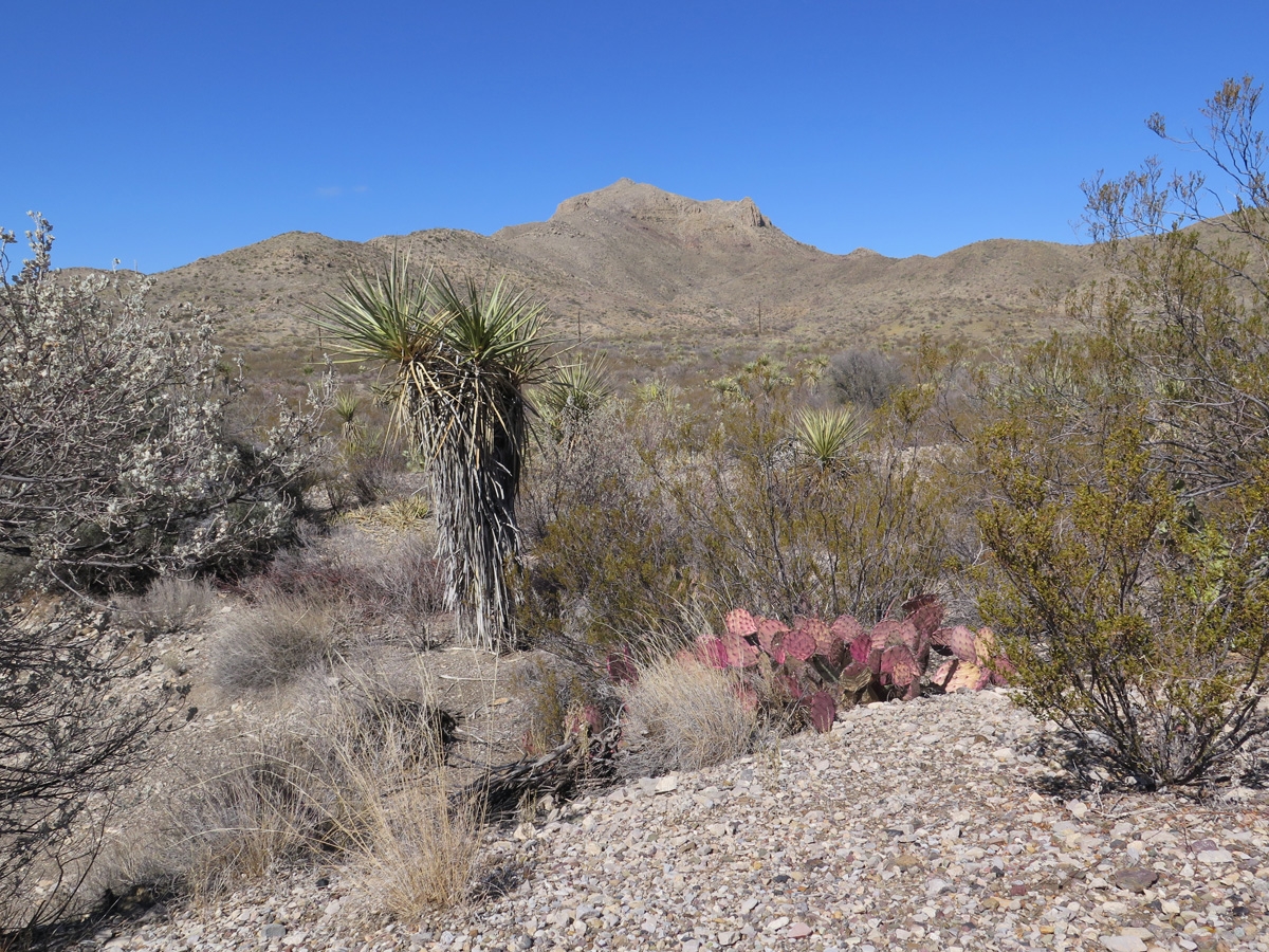
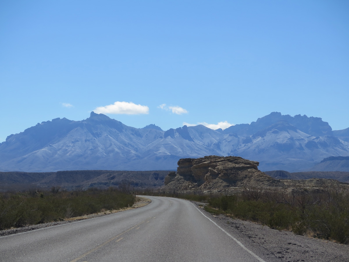
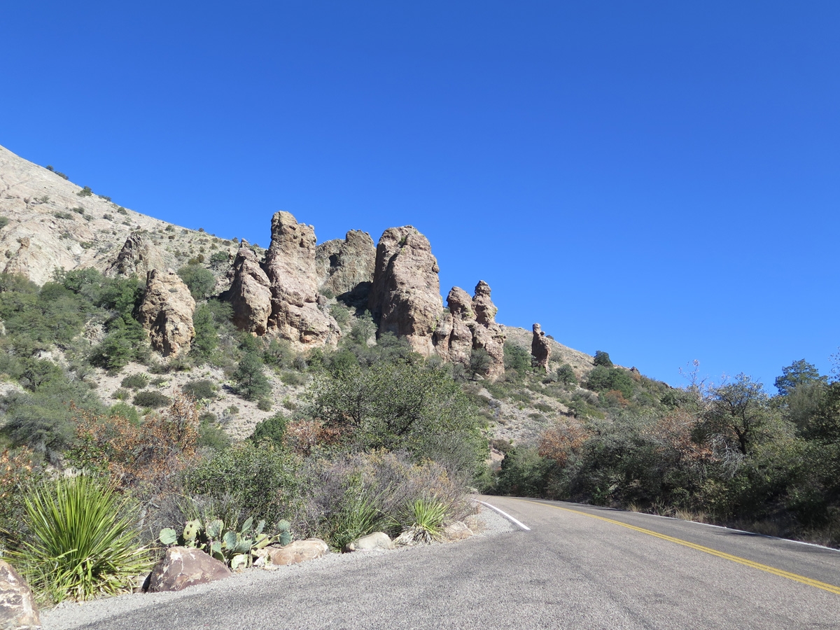
Chisos Mountains and random rock formations.
Chisos Mountains and random rock formations.
Roadside rock formation with unidentified raptor perched on top.
Driving toward the Chisos Mountains.
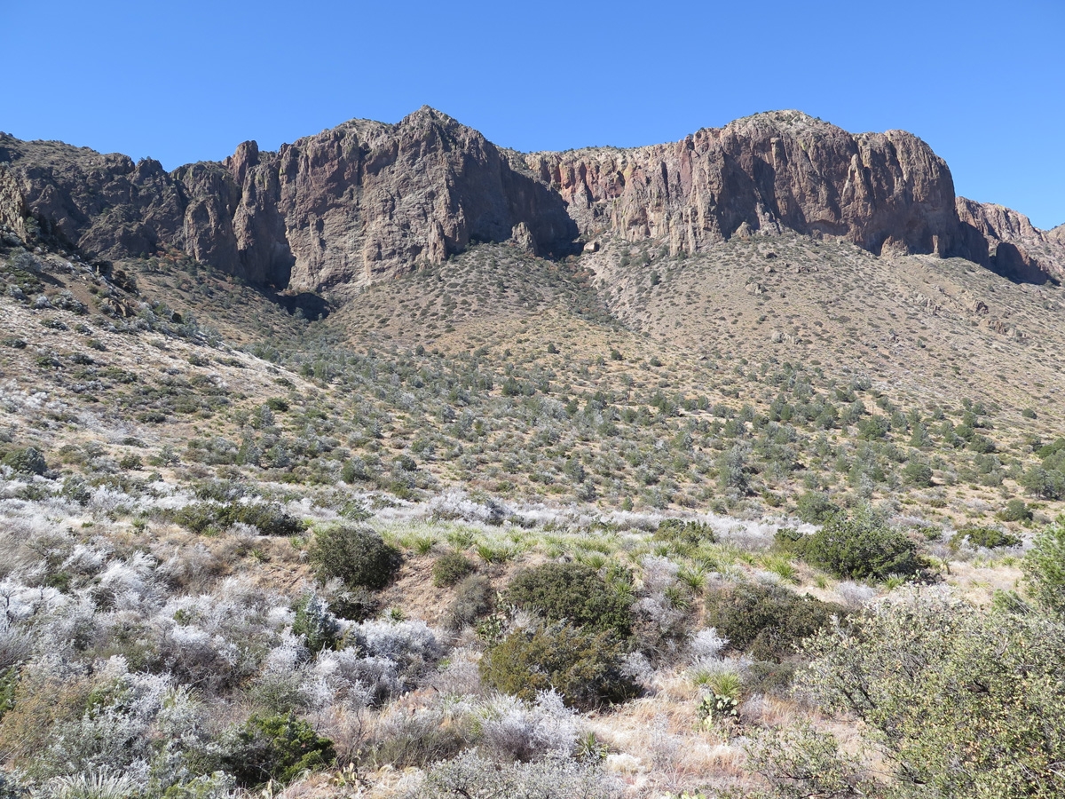
As we were headed back in the direction of camp, we decided to dip south into the Chisos Mountain Basin. Many of the following images were captured there.
Mountain scenery.
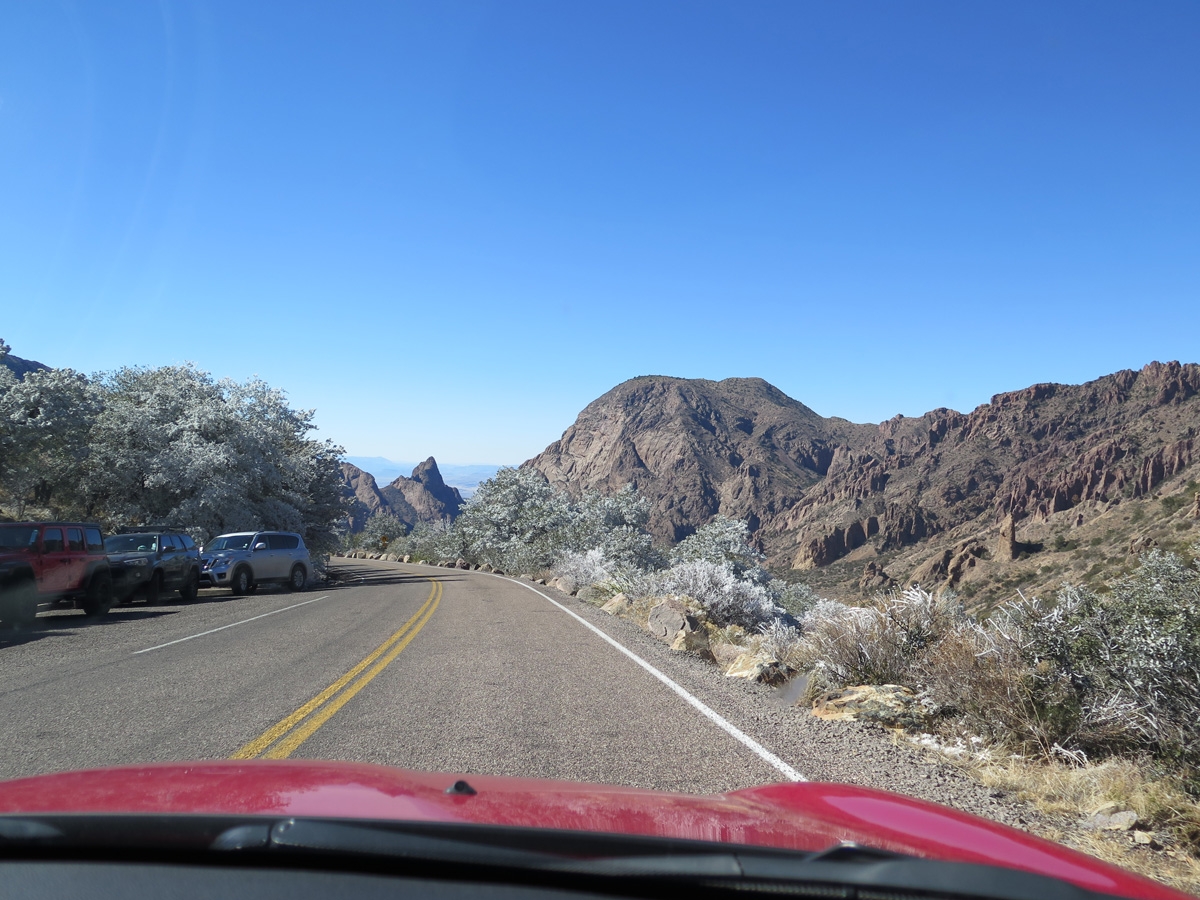
You can see frost on the vegetation in the foreground.
Mountain scenery with more frost.
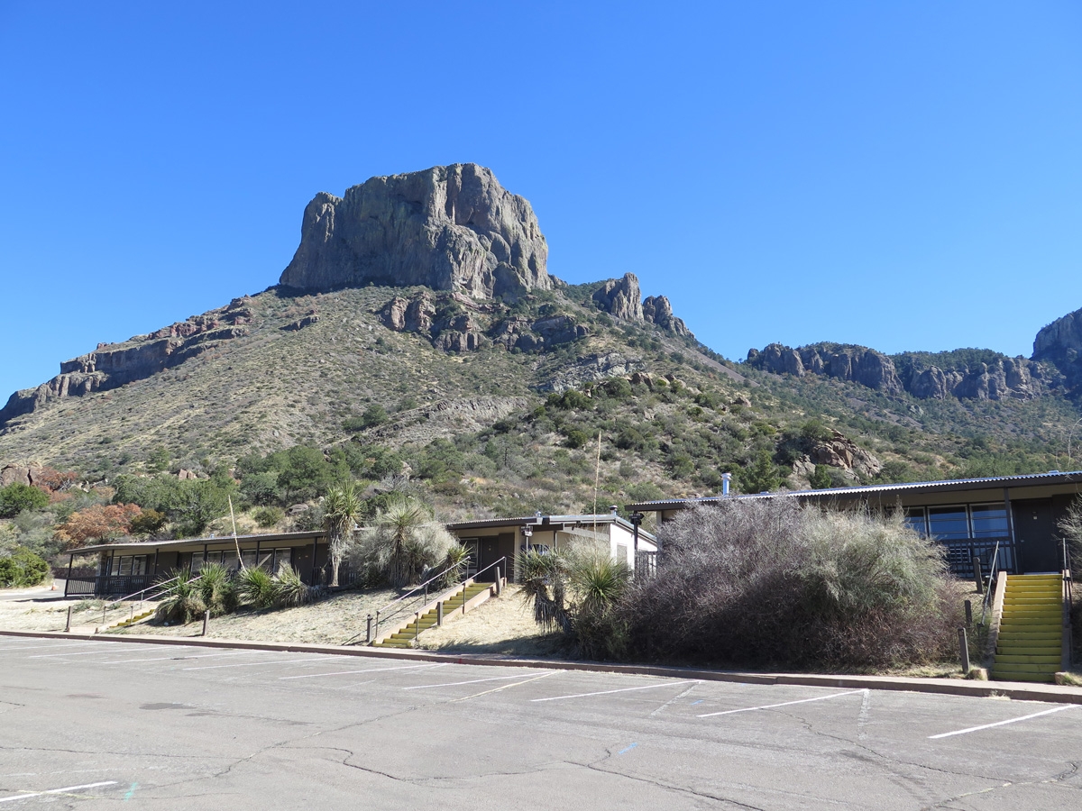
Chisos Mountain Lodge
Mountain scenery.
Mountain scenery.
Heading north out of the Chisos Mountains.
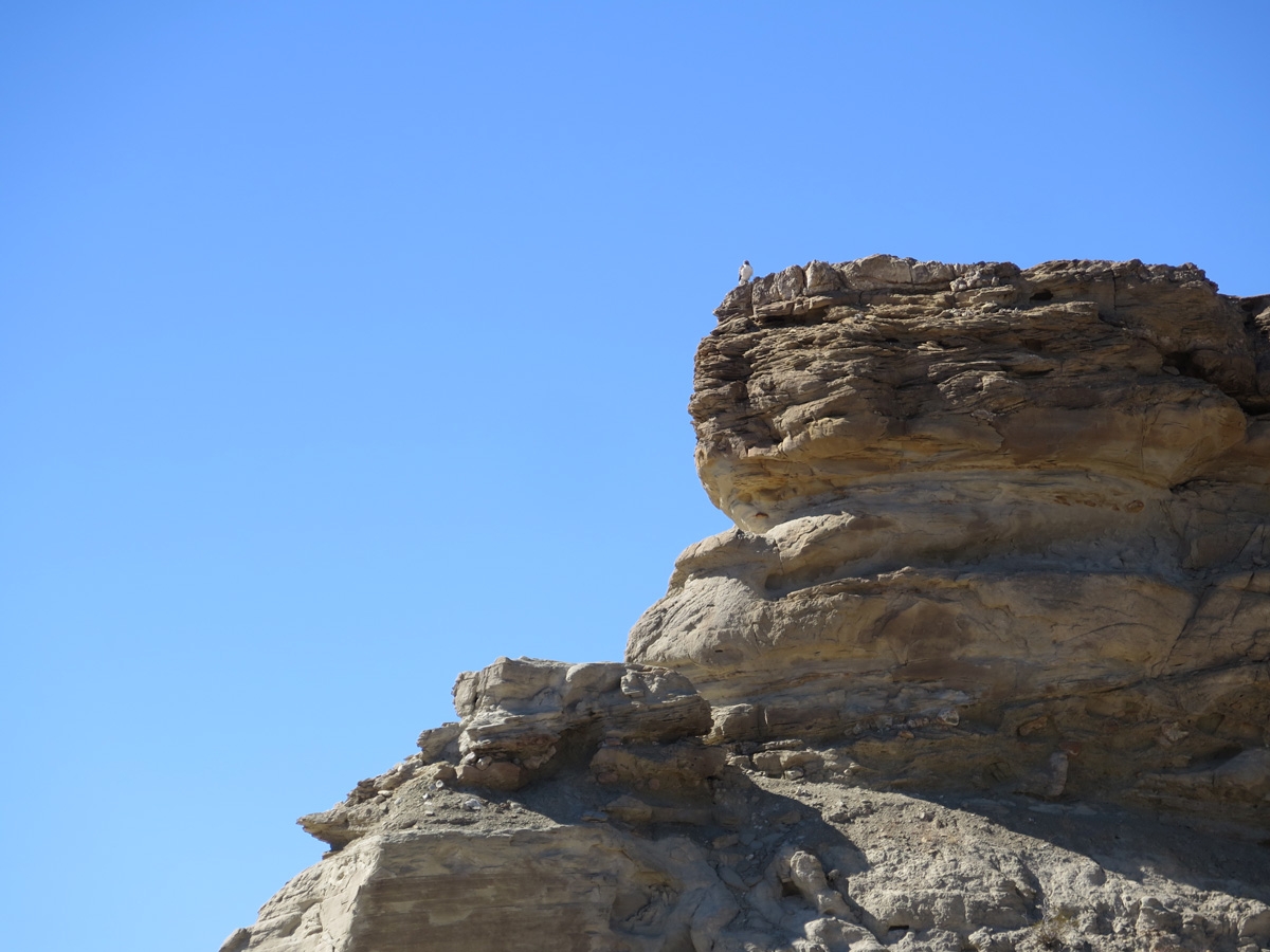
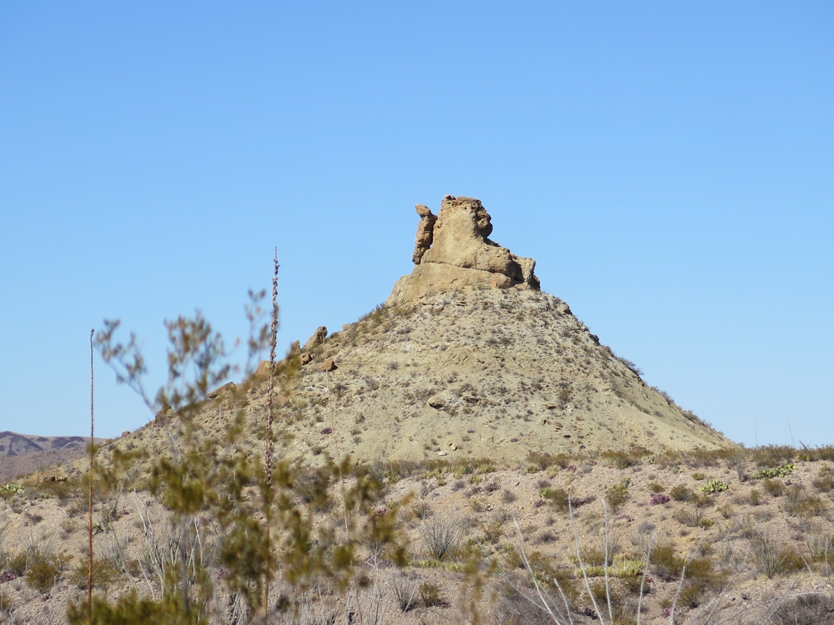
Random rock outcrop.
I actually captured quite a few more images as we drove up into the Chisos Basin. As it turns out, the atmospheric conditions yesterday were just right for a rare — once, maybe twice per year — hoar frost to settle on some of the vegetation. It was amazing to see.
My next post will feature pics showing the hoar frost we saw in the Chisos Mountains.
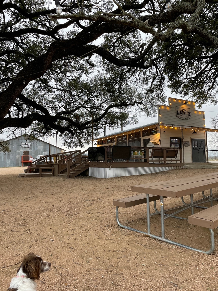
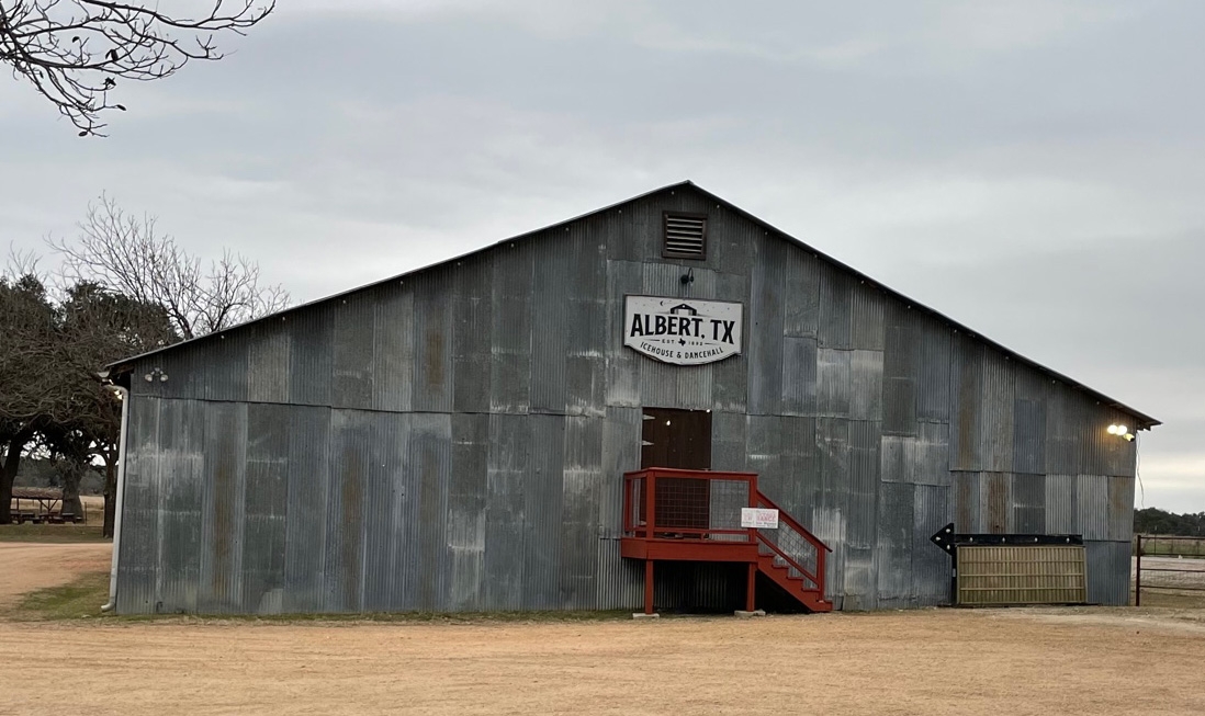
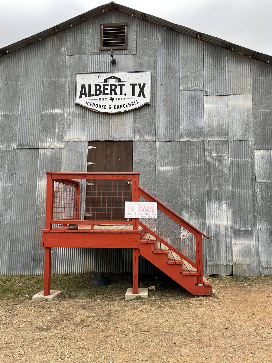
After our tour of the living history farm with Jerry and Lynne, we were all ready for some end-of-day libations, so we headed over to what is essentially Lynne and Jerry’s “local” bar, the Albert Icehouse and Dancehall.
One of the things I like about travel in general is learning new things. When we were in San Antonio, I read about establishments that sounded like bars, but were called icehouses. It sounded like a Texas version of a dive bar.
I didn’t really think much of it until Lynne and Jerry invited us to join them at the icehouse in Albert, Texas, which is just a hop, skip, and a jump away from their RV site at the state park.
If you’d like to learn more about icehouses in general, check out this article on the Texas Highways website. Basically, they are a kind of dive bar and are typical in this part of Texas.
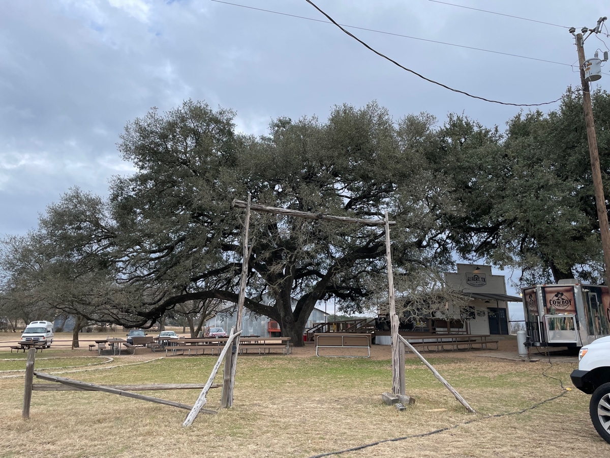
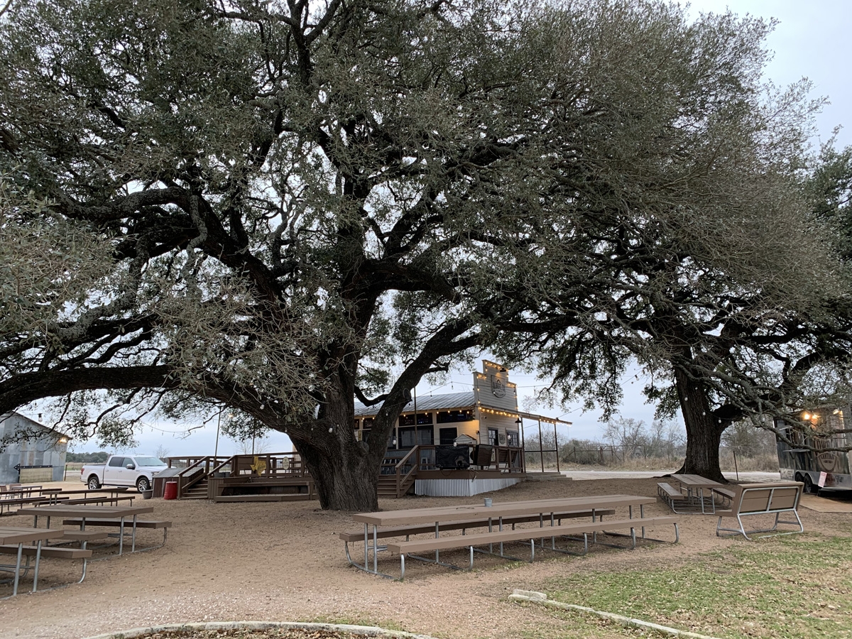
The icehouse and dancehall as seen from the parking lot. That’s a food truck on the far right of the frame. Note the Live Oak in the yard. That’s one tree.
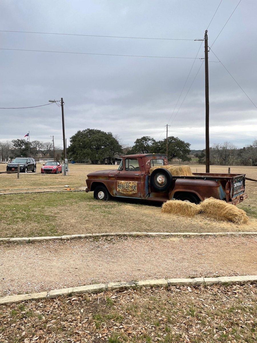
Yard art at the icehouse.
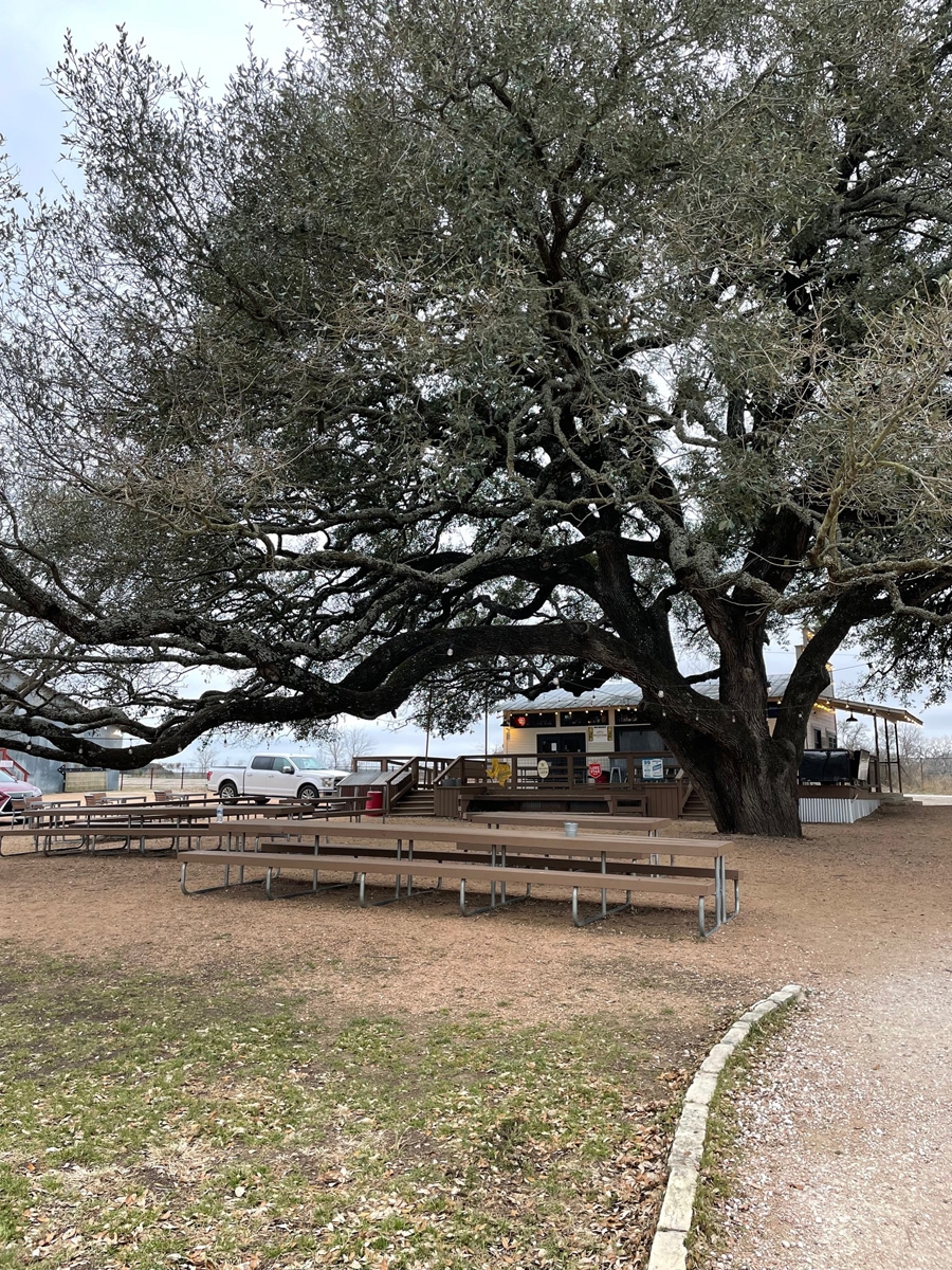
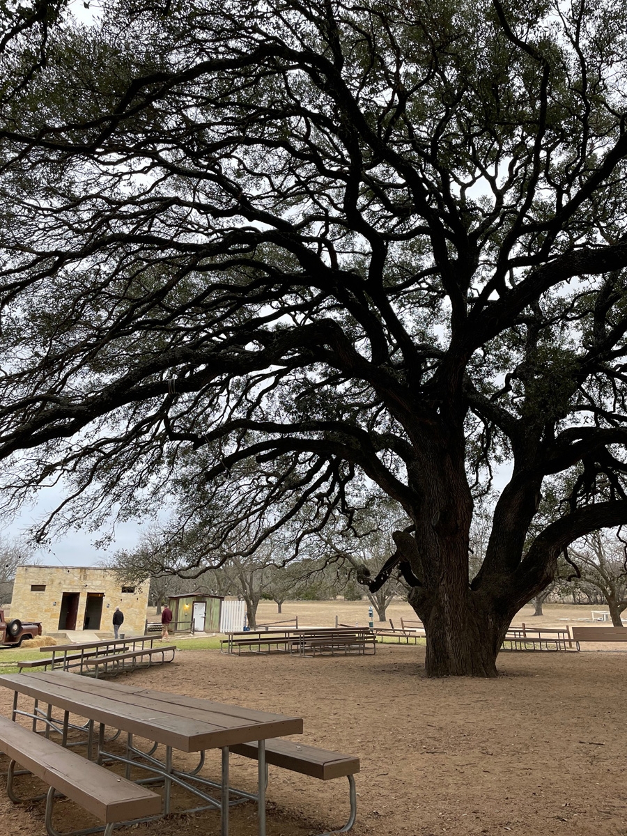
This massive Live Oak tree provides the perfect shade.
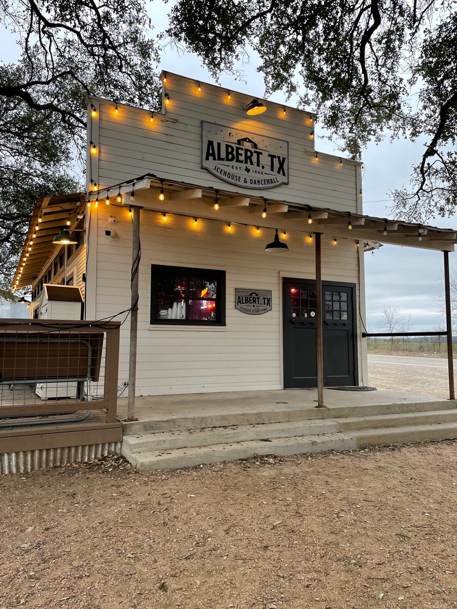
Front door of the icehouse.
Side porch of the icehouse as seen from the yard.
Looking at the yard from another angle helps demonstrate the massive size of the tree and shelter it provides. The building on the left houses the restrooms.
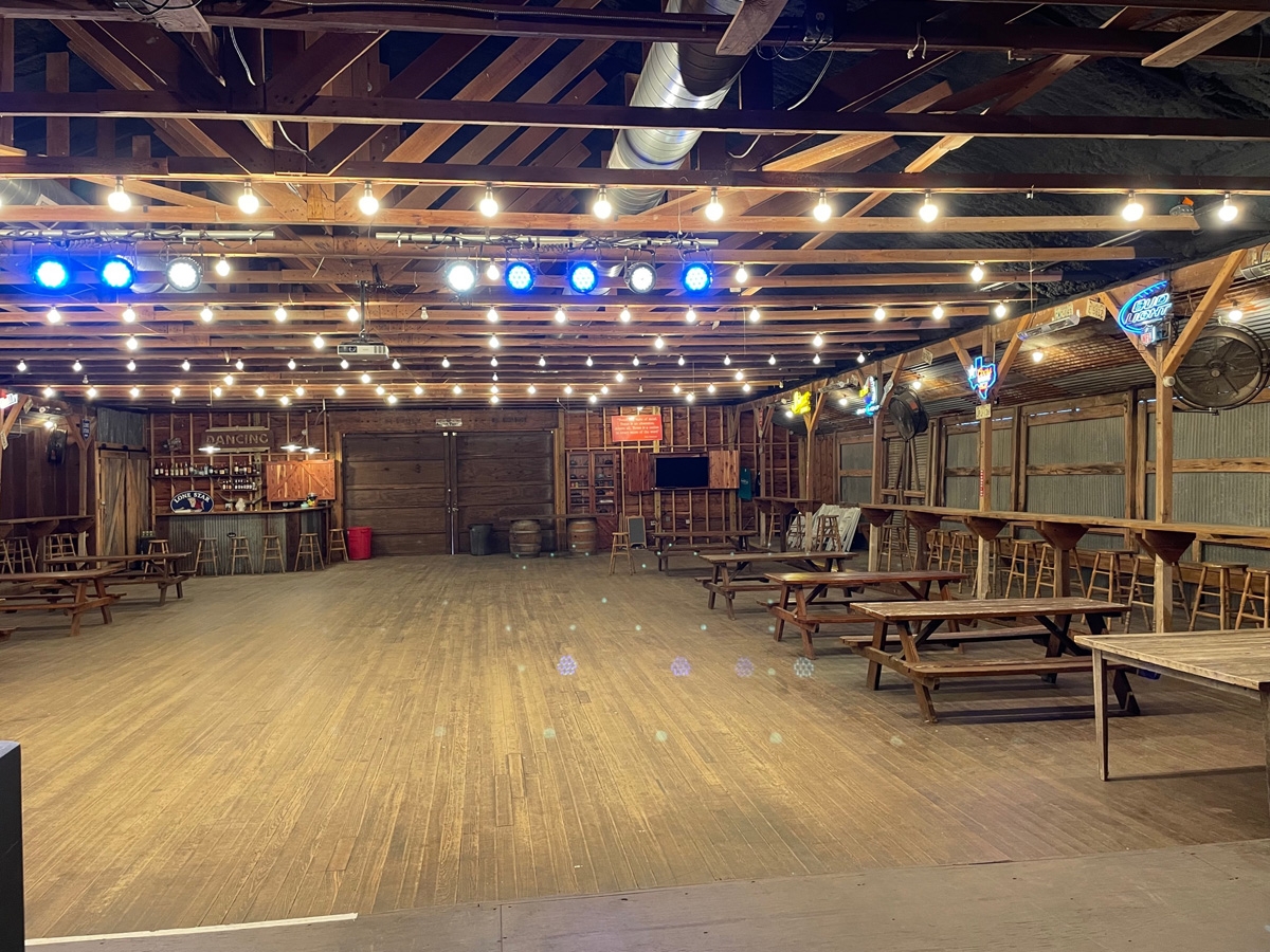
Outside of the dancehall.
Dancehall entry.
Inside the dancehall.
Albert Icehouse (photo credit to Mike)
Imagine how cool it would be to hang out in the yard on a pleasantly warm evening below that massive Live Oak tree that’s hung with strings of outdoor lights. That would definitely be relaxing.
We said goodbye to our friends, Lynne and Jerry, at the Albert Icehouse. We definitely enjoyed our visit with them and are hoping to cross paths again later this year.
As mentioned in my previous post, our friends Lynne and Jerry Goebeler are currently volunteering at the Lyndon B. Johnson State Park & Historic Site. It’s located about 17 miles east of downtown Fredericksburg, Texas. (Lyndon B. Johnson [LBJ], our 36th president, was born and raised in the Texas Hill Country.) LBJ’s ranch is across the Pedernales River from the state park and is part of the Lyndon B. Johnson National Historic Park.
Lynne and Jerry were both working on Thursday, so we decided to meet up with them toward the ends of their shifts. Lynne volunteers in the visitor center. Jerry volunteers at the Sauer-Beckmann Farm, the park’s living history farm.
I went in to see Lynne first as that’s where you go to get the permit necessary to tour the LBJ Ranch as well as the state park and historic site. It was so cool seeing Lynne at work. She did a great job delivering the tour directions and site overview to me, too. From there we made a brief visit to the LBJ Ranch and then met both Jerry and Lynne at the farm.
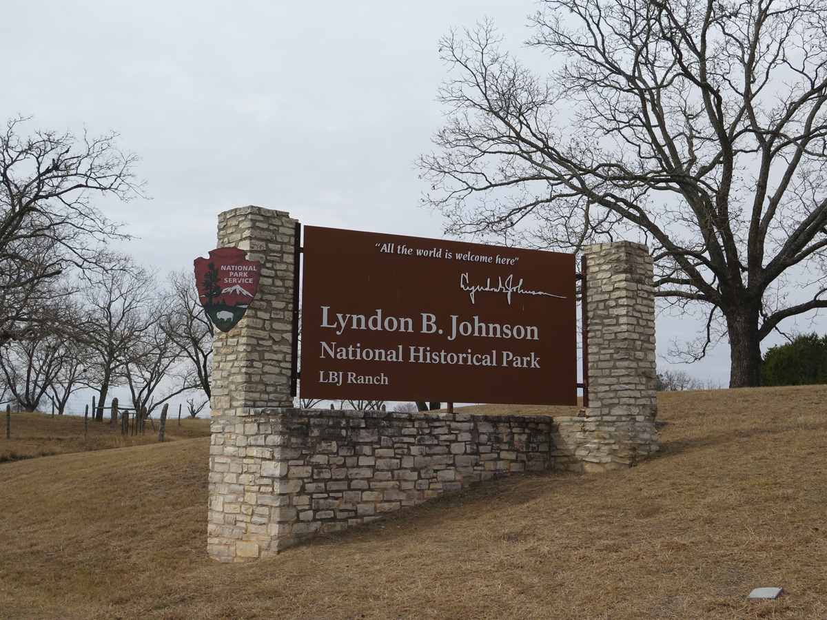
Entrance Sign
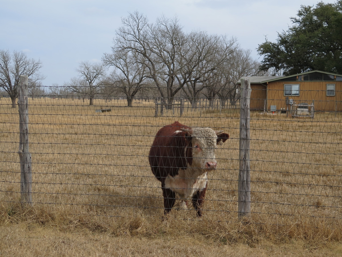
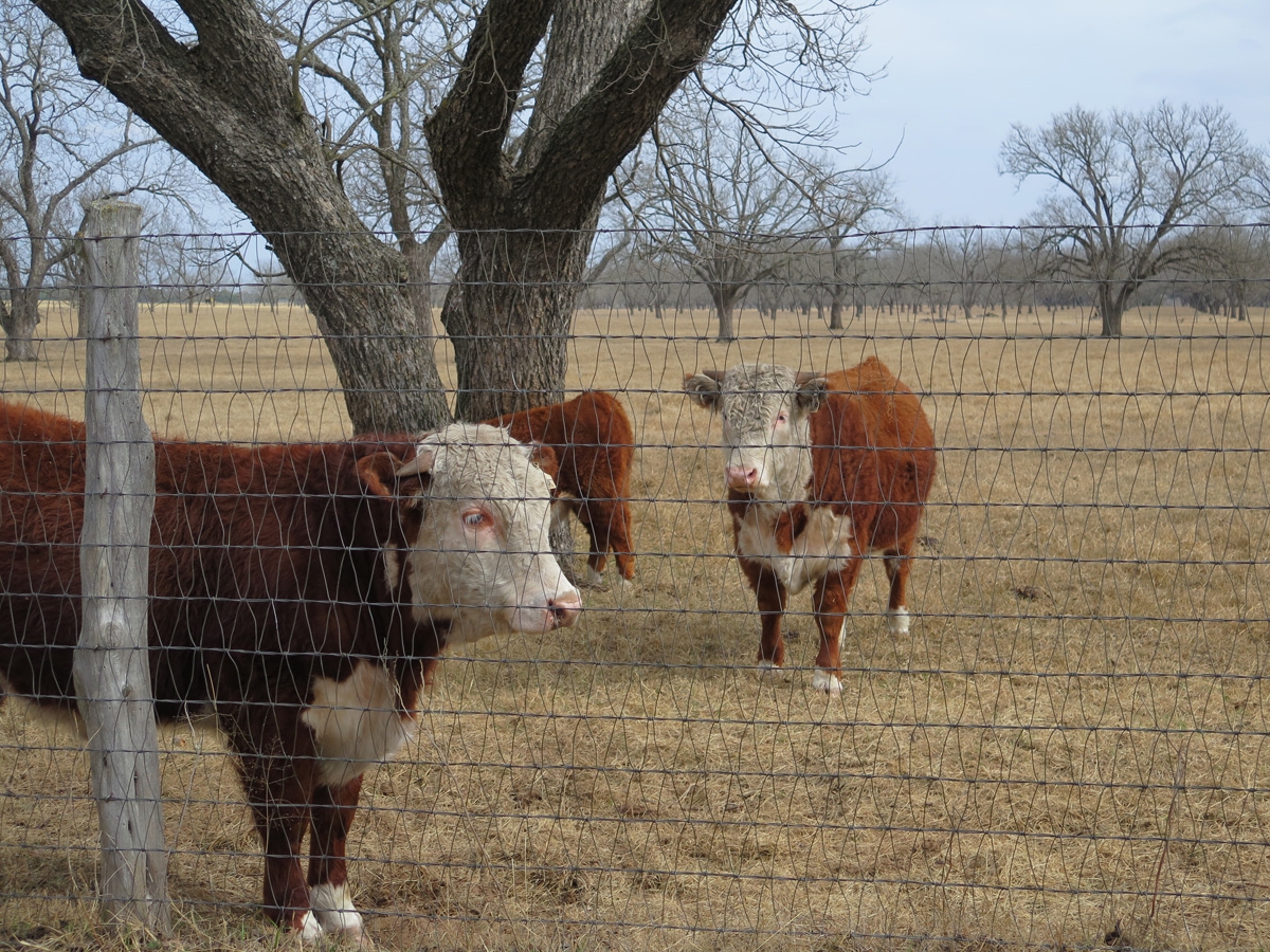
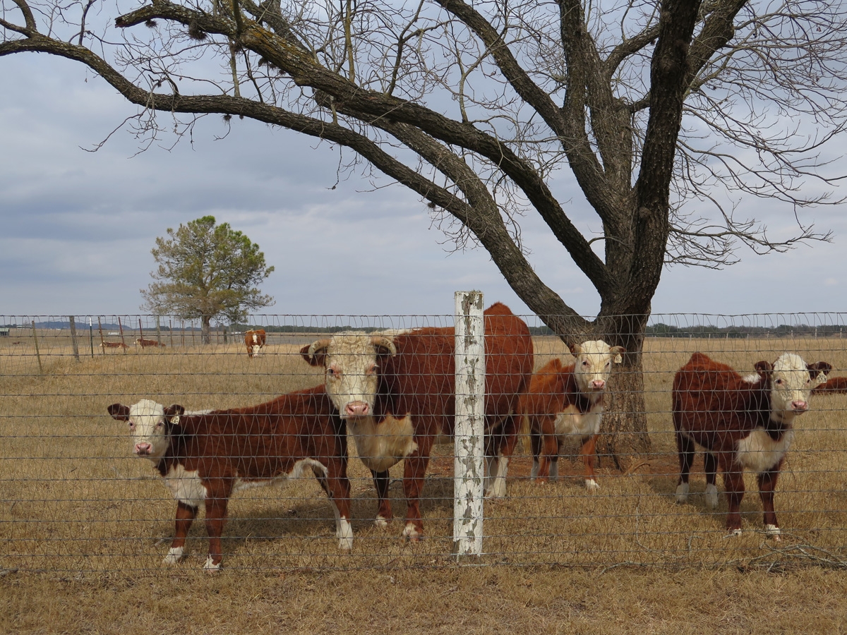
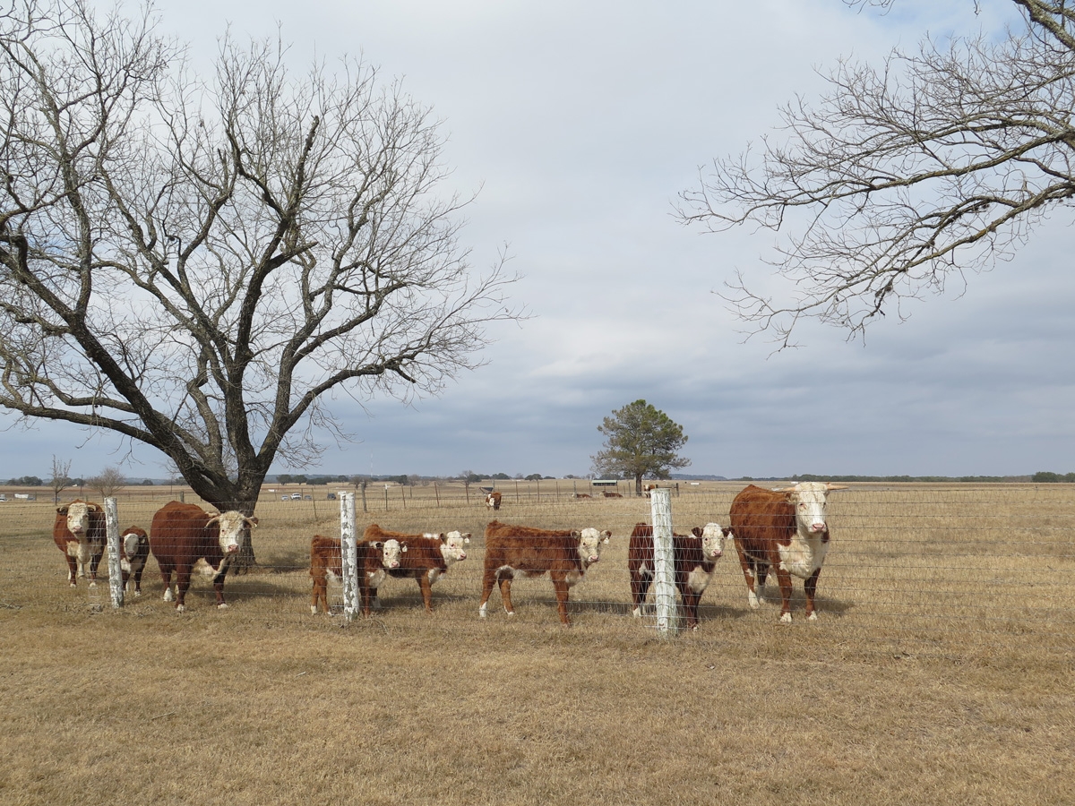
One of the many Hereford cattle that live on the ranch.
Check out the long, white eyelashes on those cattle. (Click on image to view a larger version of the photo.)
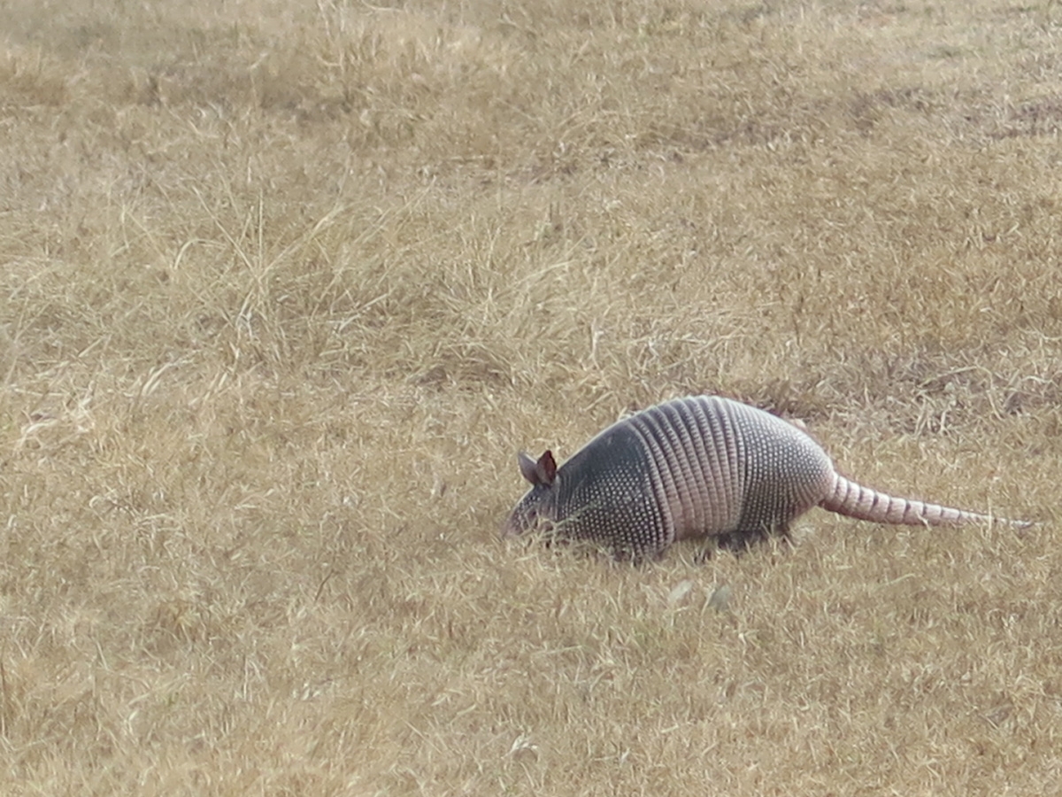
We even saw a live armadillo!
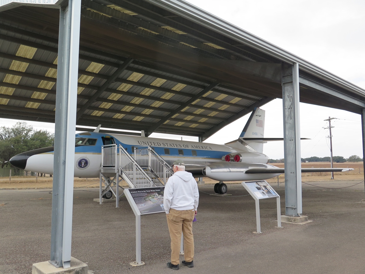
There’s an airstrip on the ranch, but it wasn’t big enough for a full-size version of Air Force One.
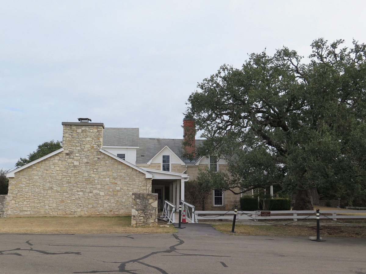
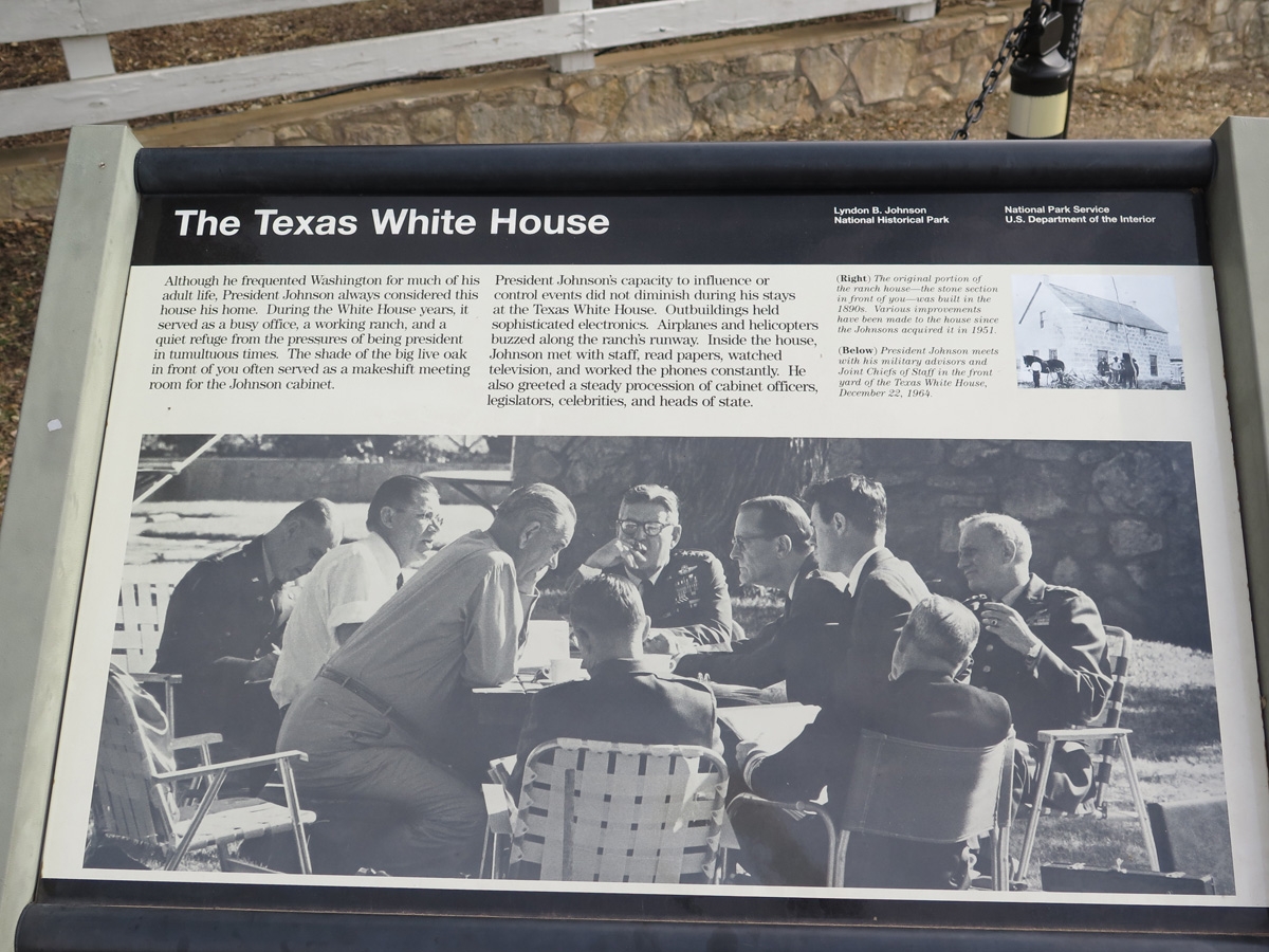
The ranch house, as seen from the side in this image, was referred to as the Texas White House.
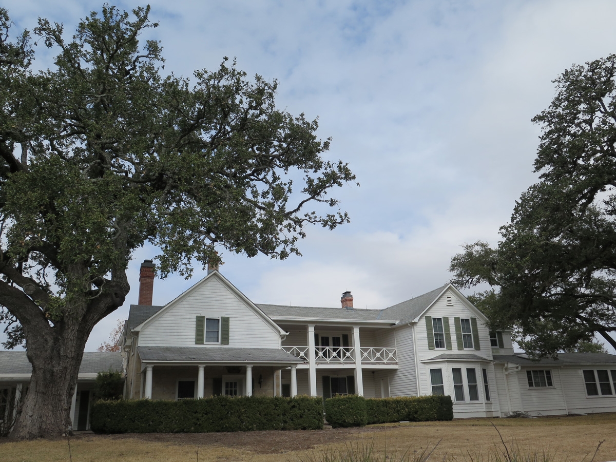
The Texas White House
The front of the ranch house aka Texas White House.
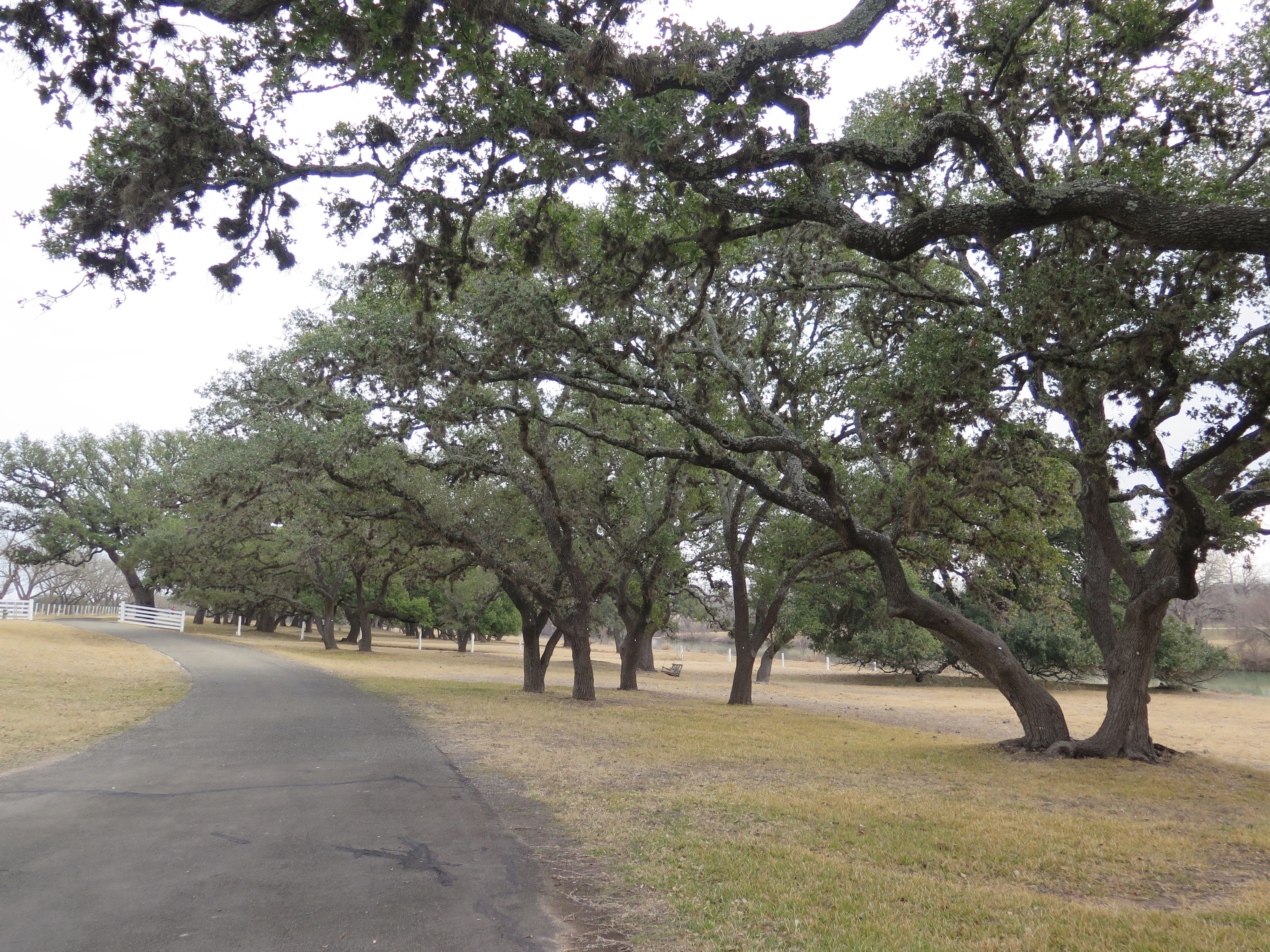
Live Oak trees line the front lawn between the house and the Pedernales River.
It would be a fabulous place for a barbecue party.
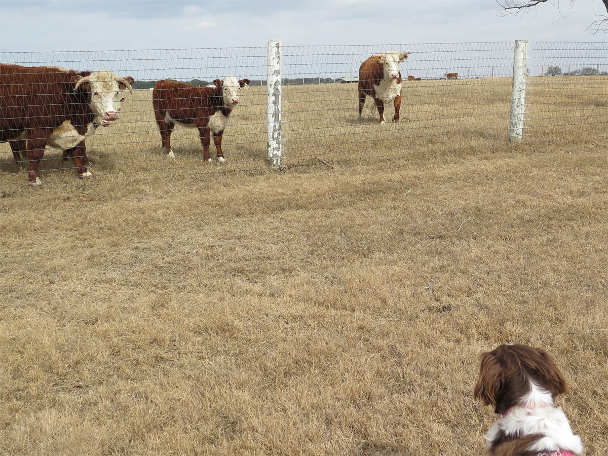
While Mike went into the visitor center and looked at LBJ’s collection of antique cars, I took Belle for a stroll around the property. On the opposite side of the ranch house, I was tickled to see some more Hereford cattle. The cattle were tickled to see Belle.
The cattle were intrigued by Belle.
Belle was a big hit with the cattle.
Mike says cattle like Belle because her coloring makes her look like a small cow and the others are probably wondering why she’s so little AND being led around on a rope.
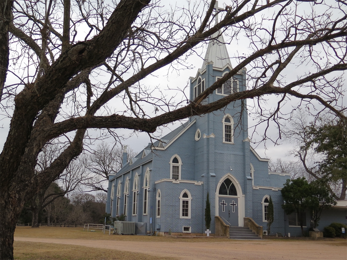
Blue church between the ranch and the state park (I am not sure if it’s affiliated).
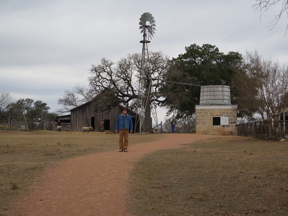
After we toured the ranch, we stopped briefly at the visitor center so Mike could also see Lynne in her element. Then we went to the farm. Because it’s a living history farm, the volunteers and rangers all wear period-specific clothing.
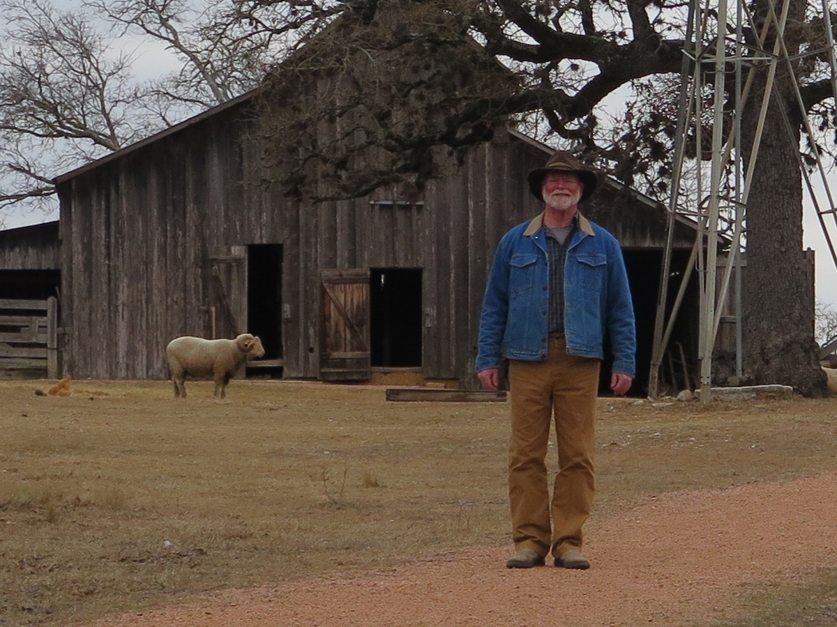
Jerry came out to greet us when we reached the Sauer-Beckmann Farm.
This is a close-up version of the previous image so you can get a better look at Jerry’s uniform.
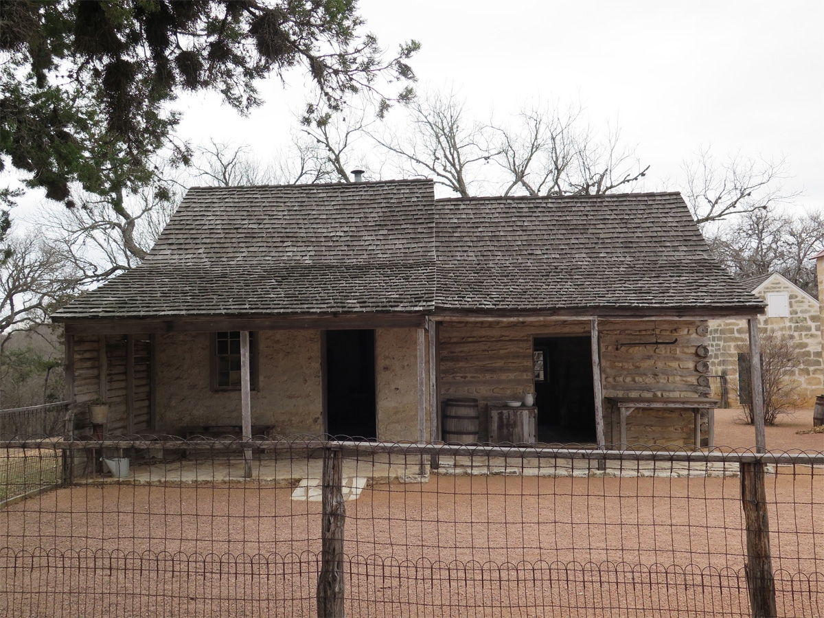
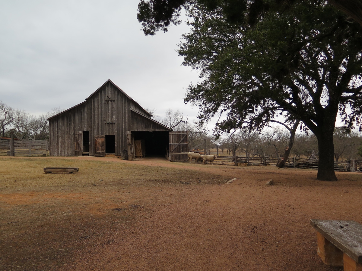
The original stone farm buildings date back to the 1860s.
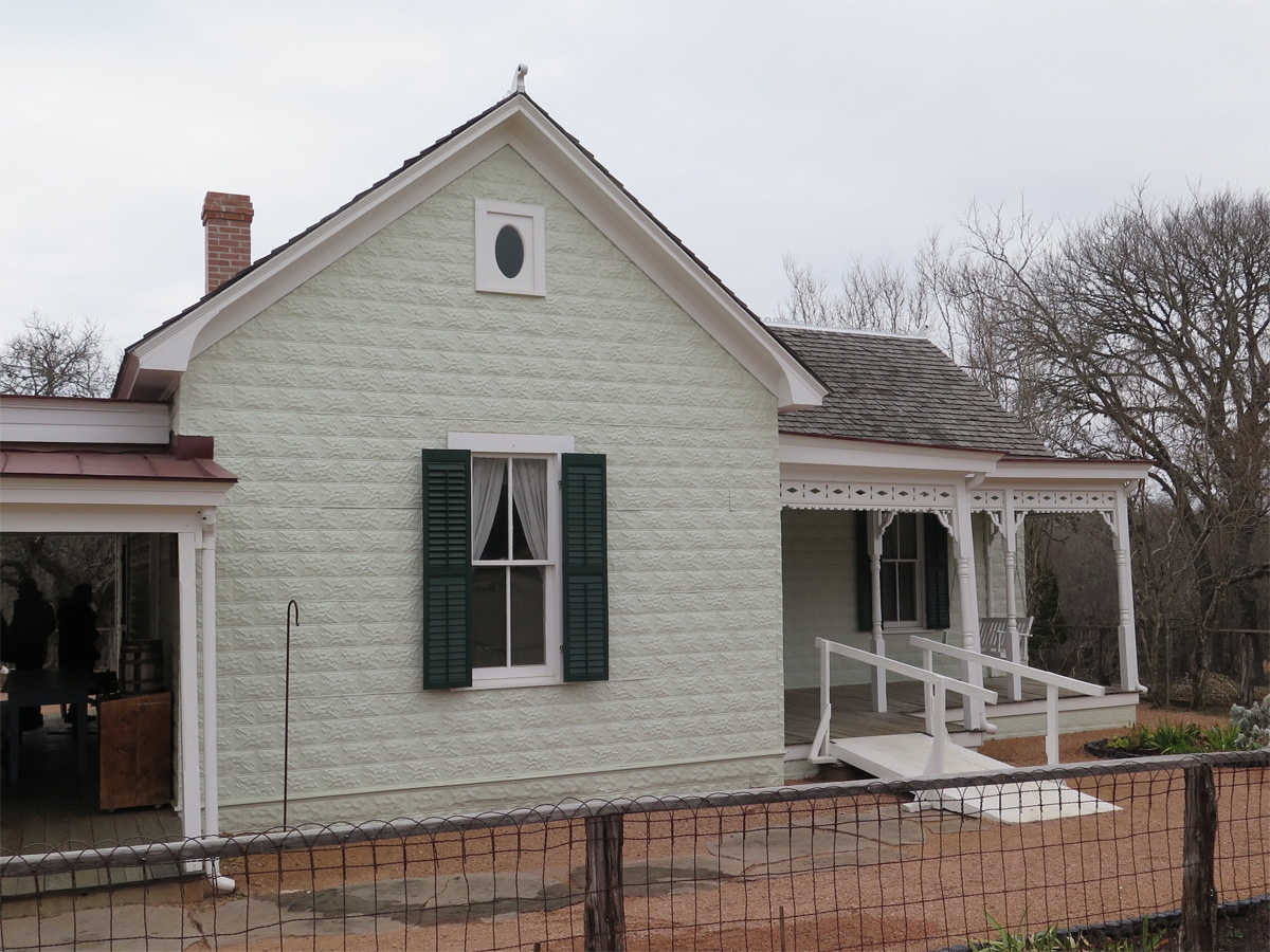
The nicer farmhouse was added in the early 1900s. Notice the stamped-tin on the building facade.
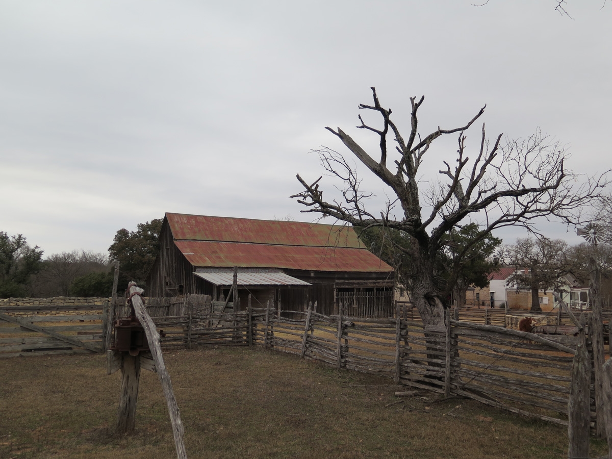
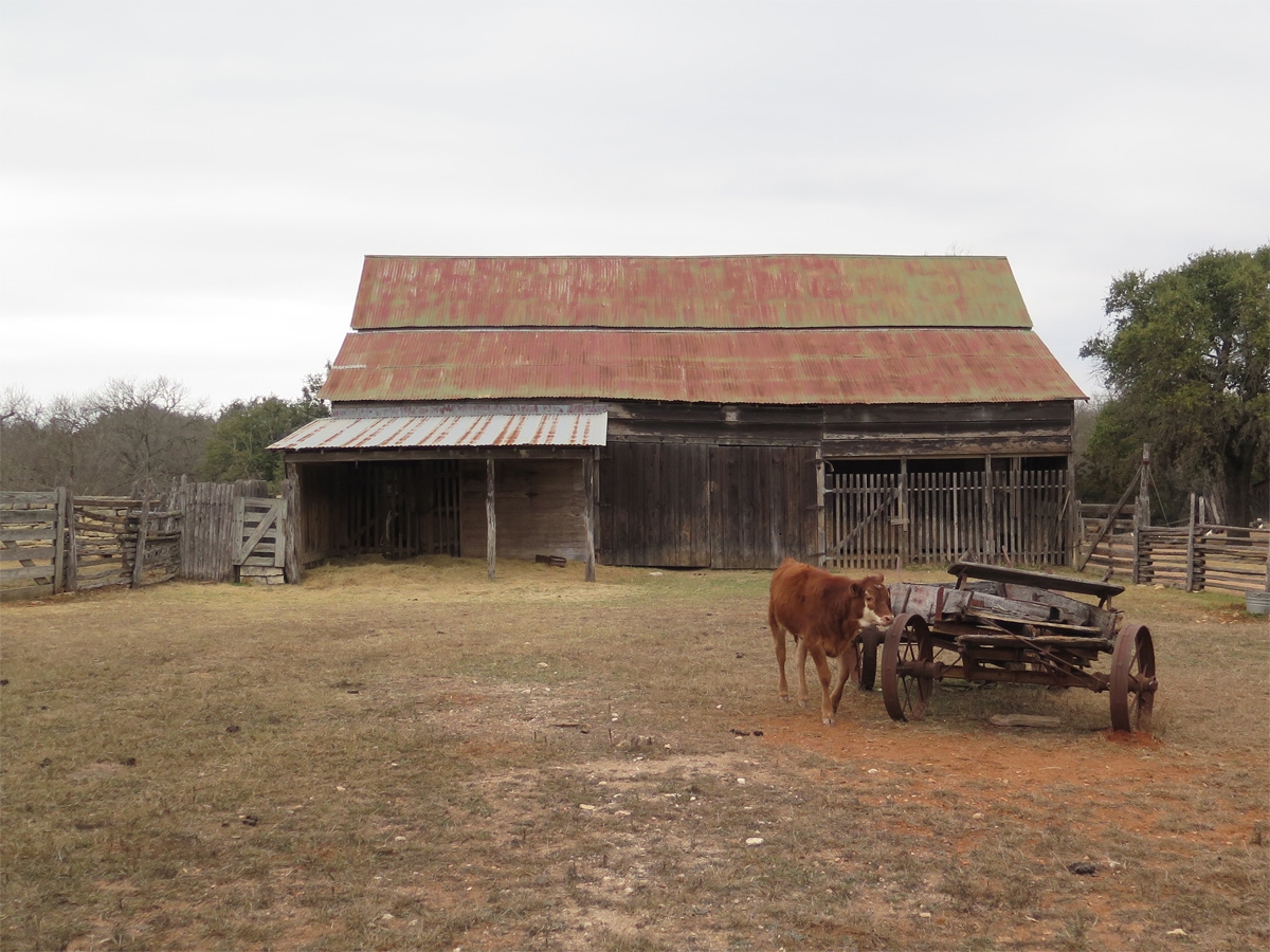
I believe the barn dates back to the late-1800s, too. Jerry did a great job sharing the details, but I didn’t do a good job remembering it all.
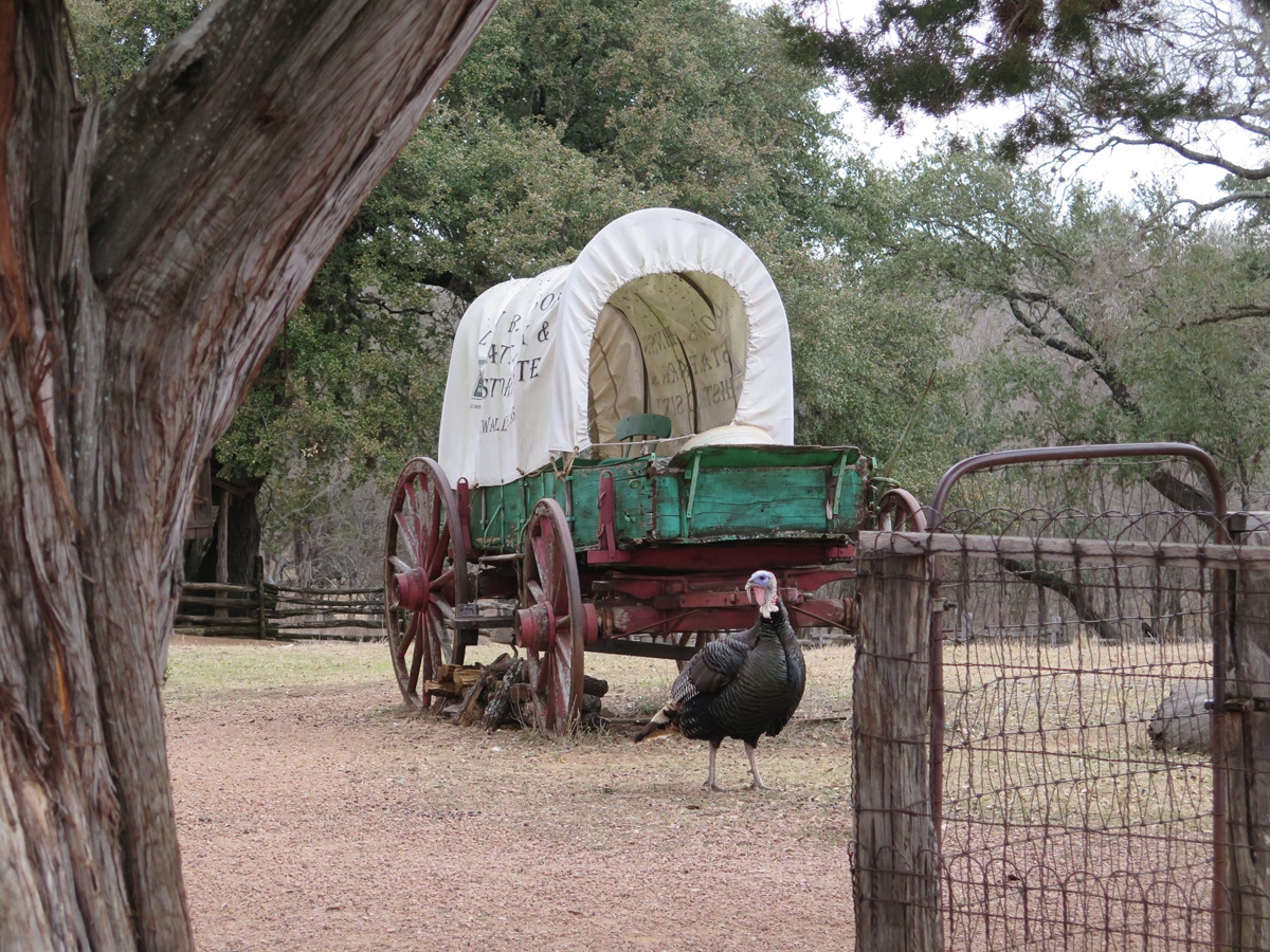
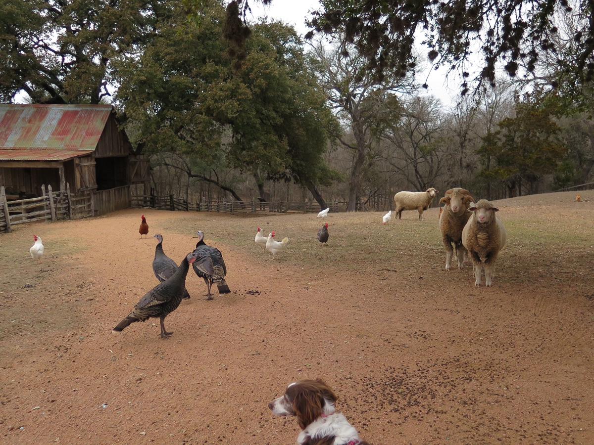
An old wagon and one of the farm’s turkeys.
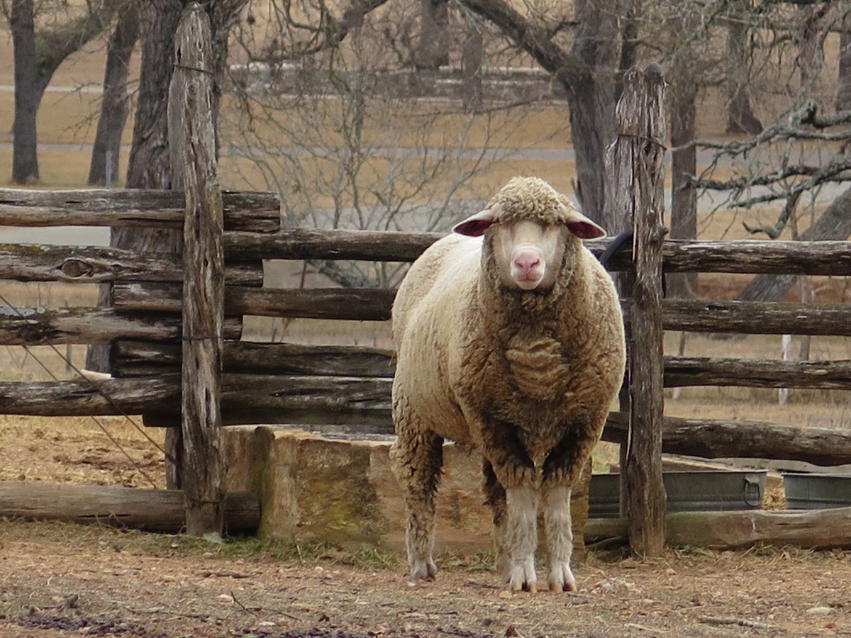
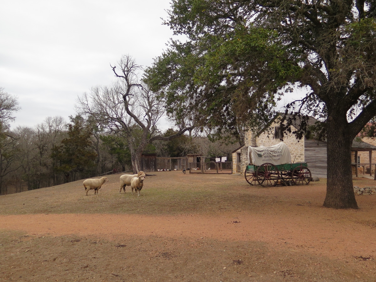
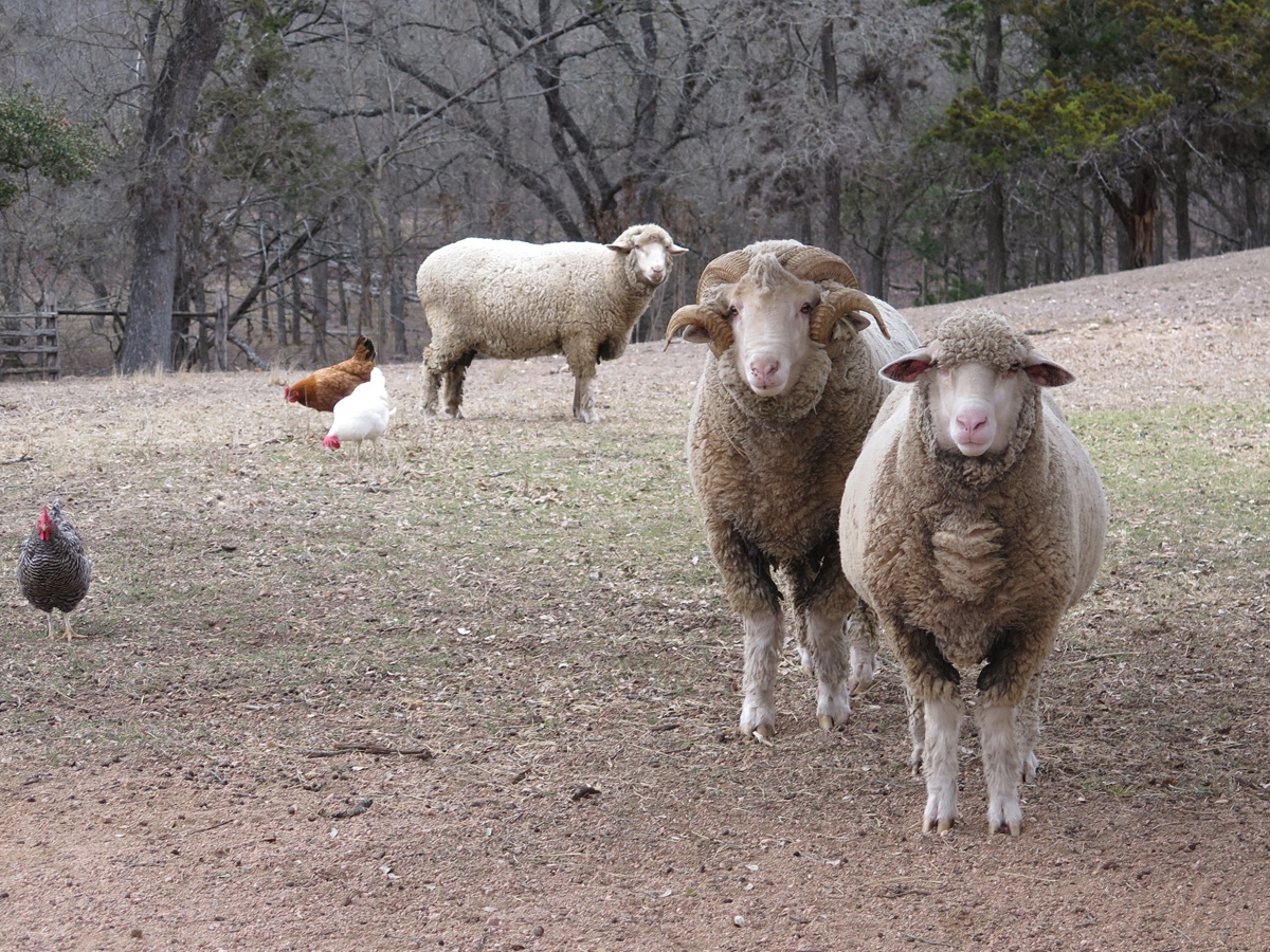
One of the farm’s sheep.
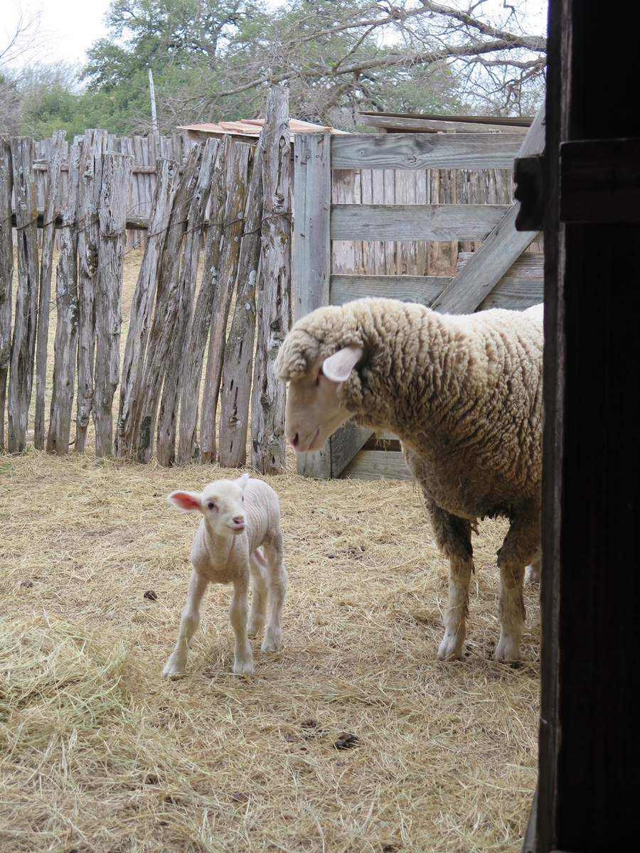
Mama sheep with her new lamb.
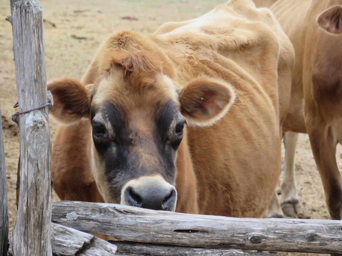
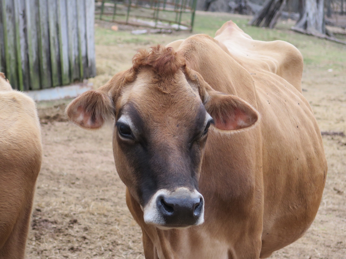
One of the farm’s beautiful Jersey milk cows.
Another of the farm’s beautiful Jersey milk cows.
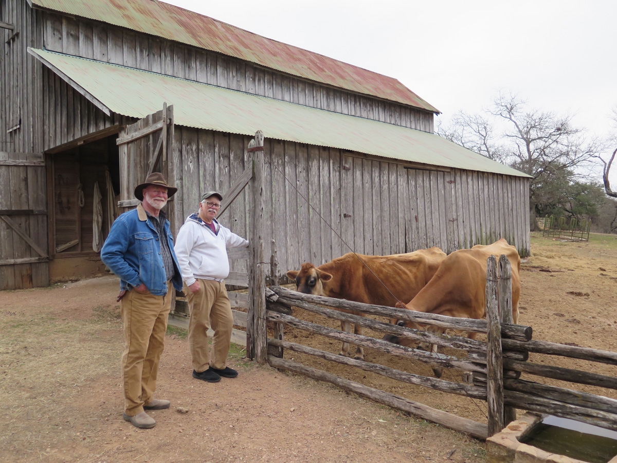
Jerry and Mike talking about the cows.
Sheep
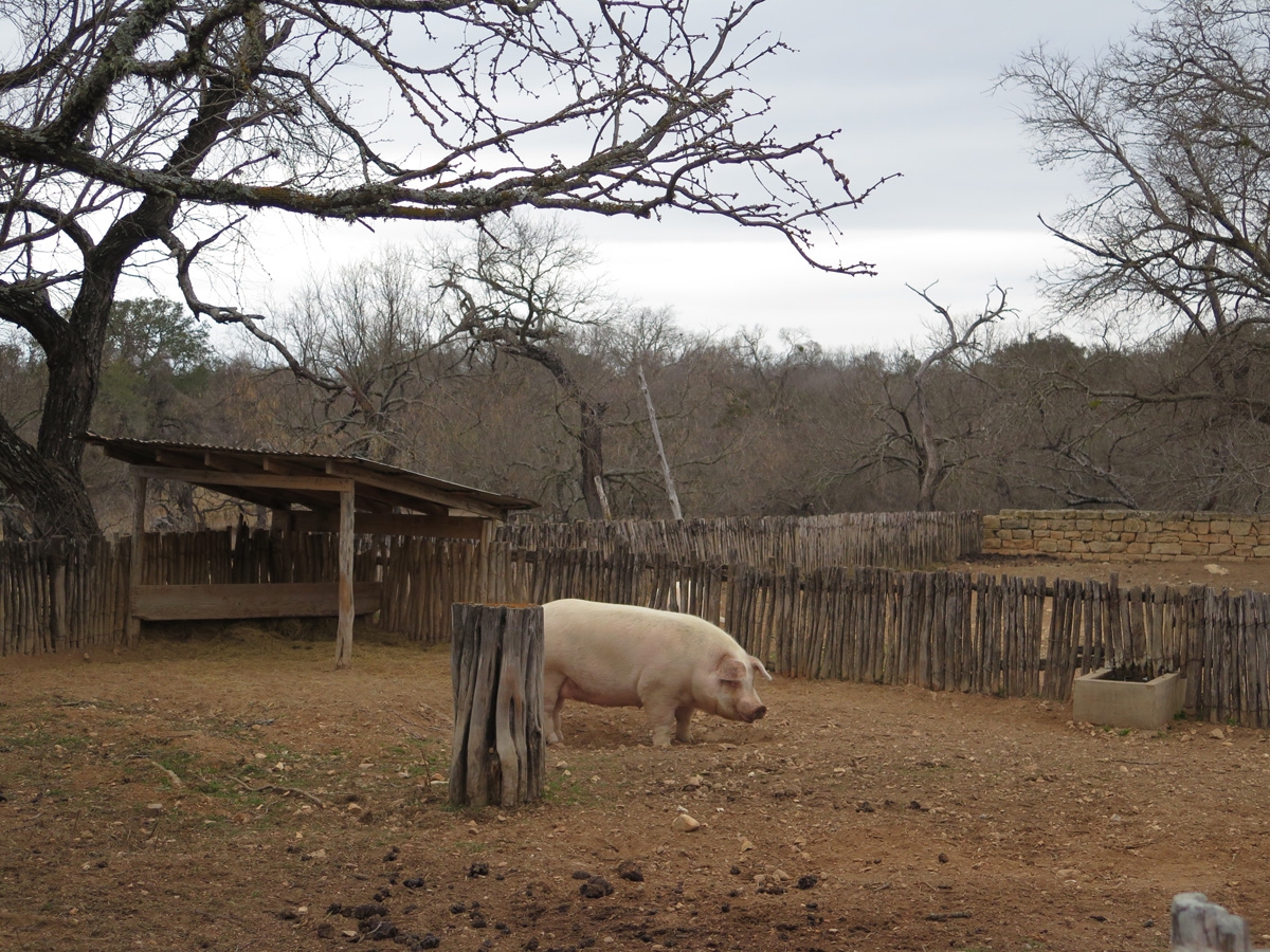
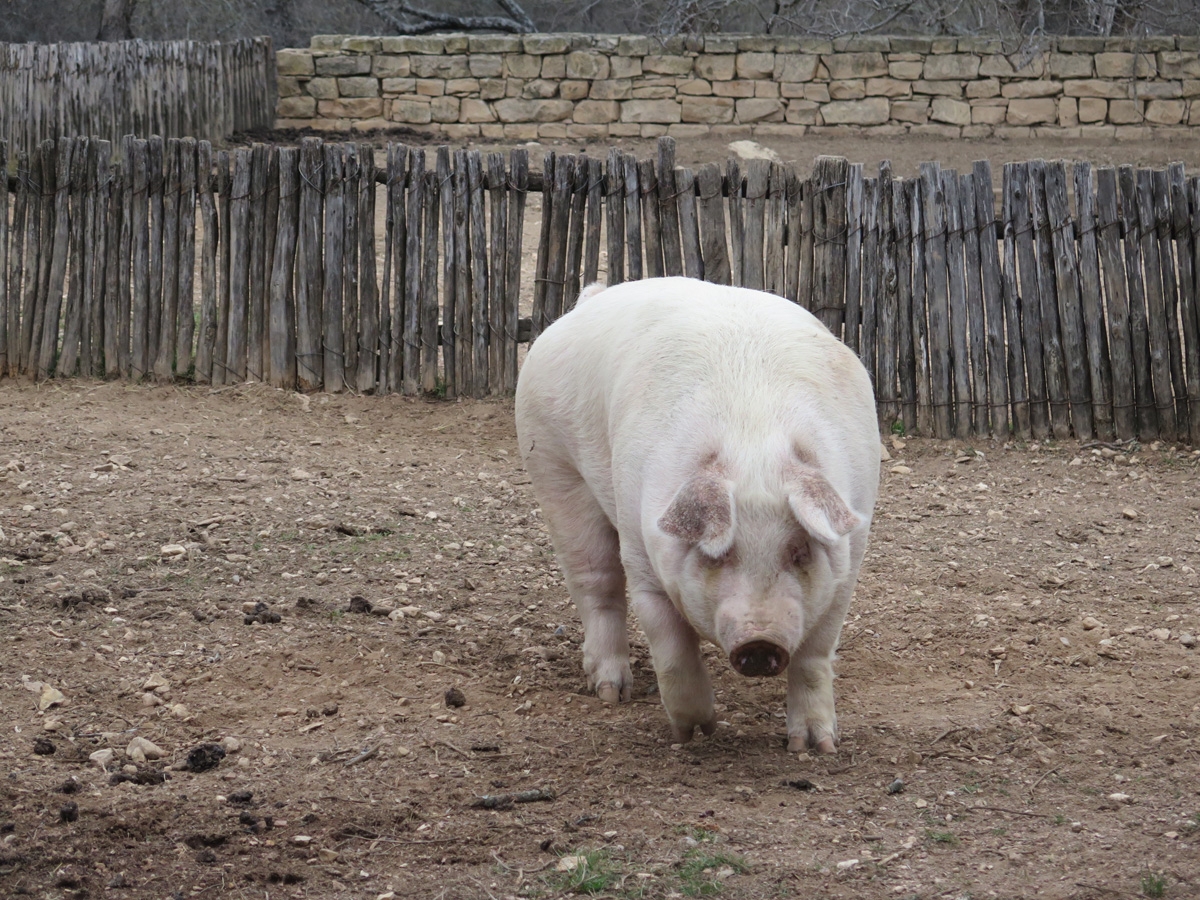
The farm’s female pig who weighs around 500 pounds (about 227 kg).
She’s a big girl.
I love the rusty metal roof on the barn.
A young calf (about 2.5 months old).
The animals at this farm were also intrigued by Belle.
Sheep
It was super-cool having Jerry as our own personal tour guide.
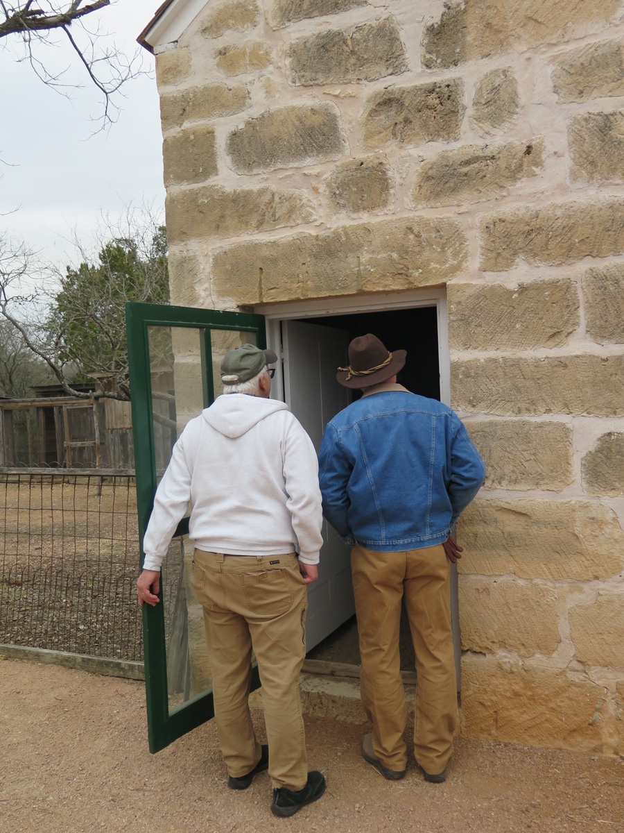
Mike and Jerry looking in the smokehouse.
He shared all kinds of information with us about the buildings and their contents.
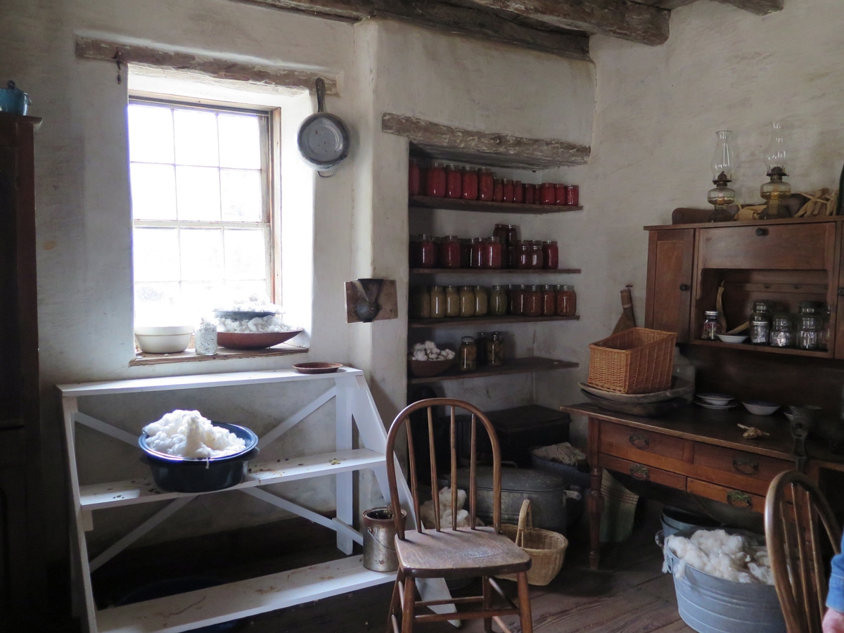
Inside the “new” house.
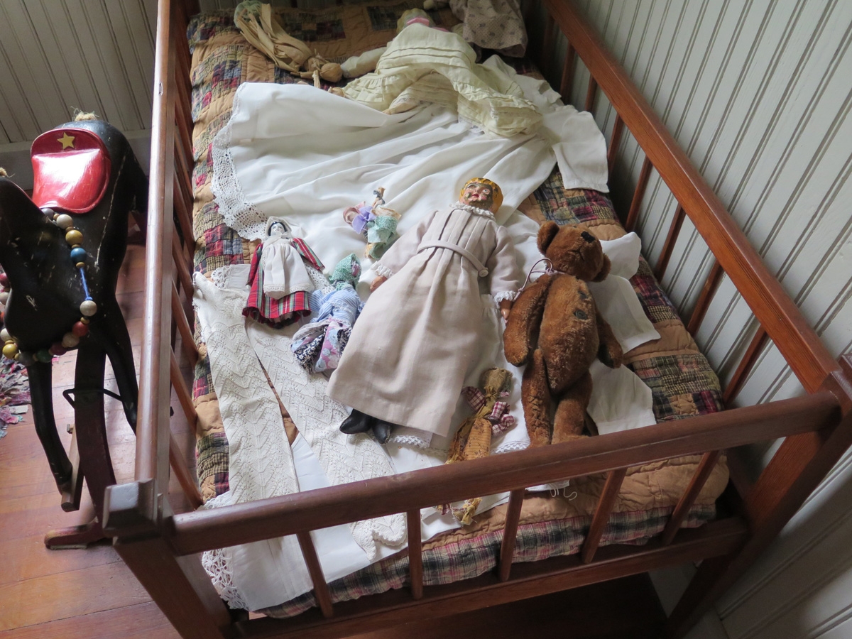
Example toys from the period.
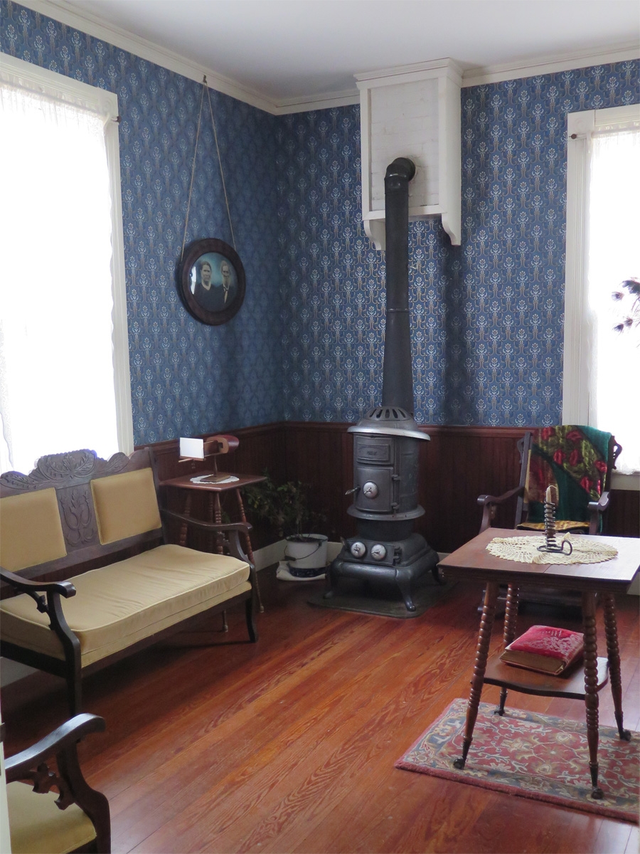
The parlor inside the “new” house.
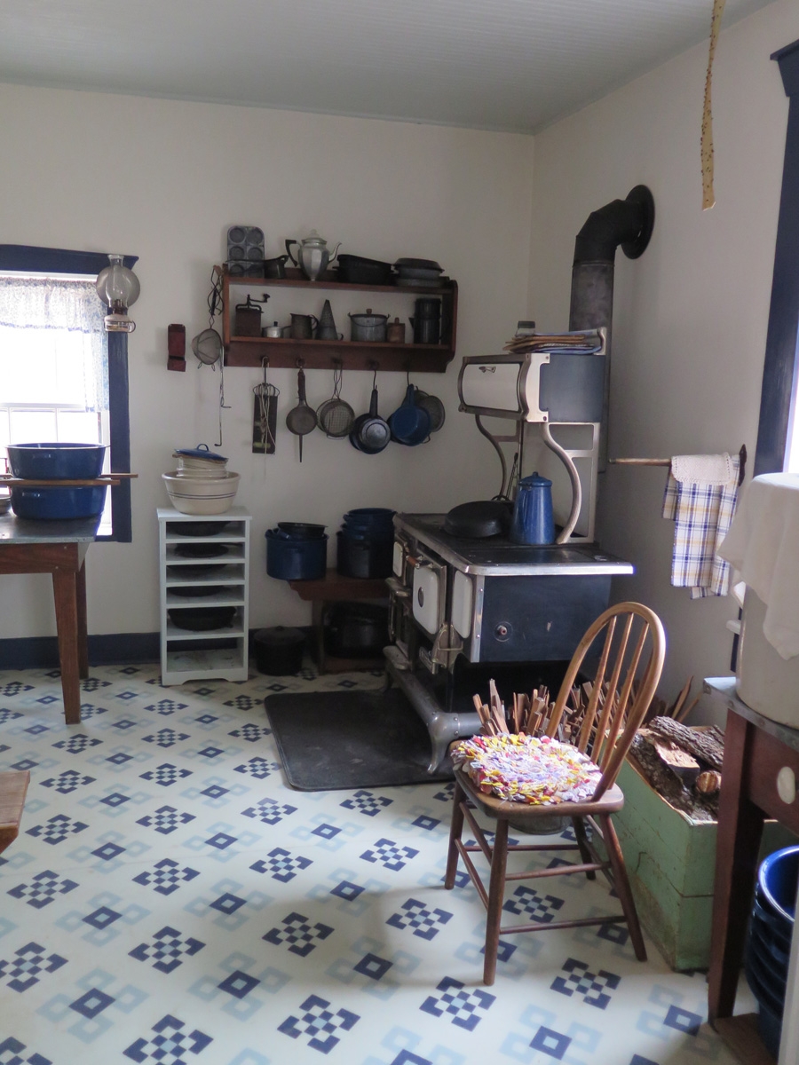
The kitchen inside the “new” house.
The kitchen is a working kitchen. The rangers prepare lunch in that kitchen on a daily basis to feed the staff.
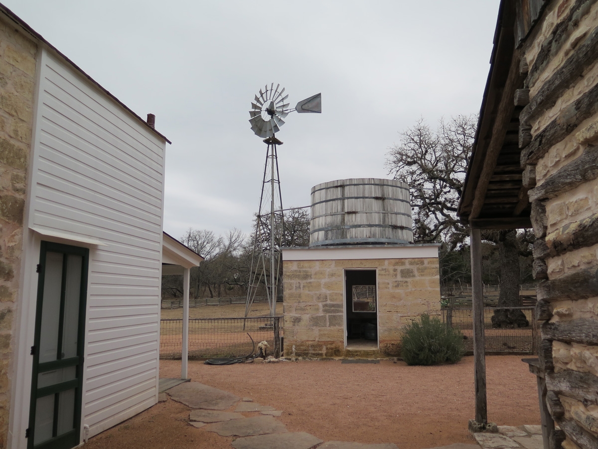
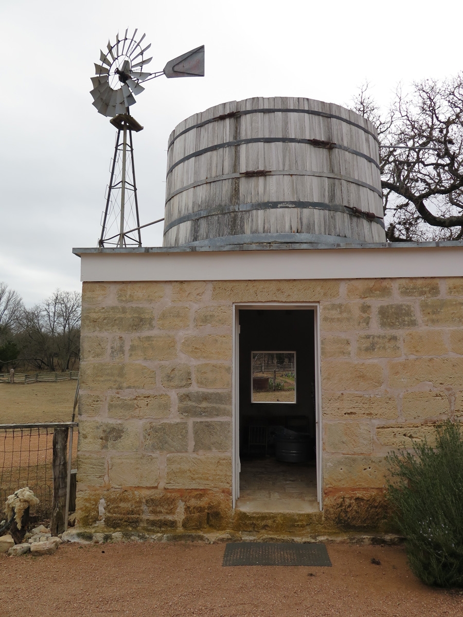
Tank Building
Another look at the tank building.
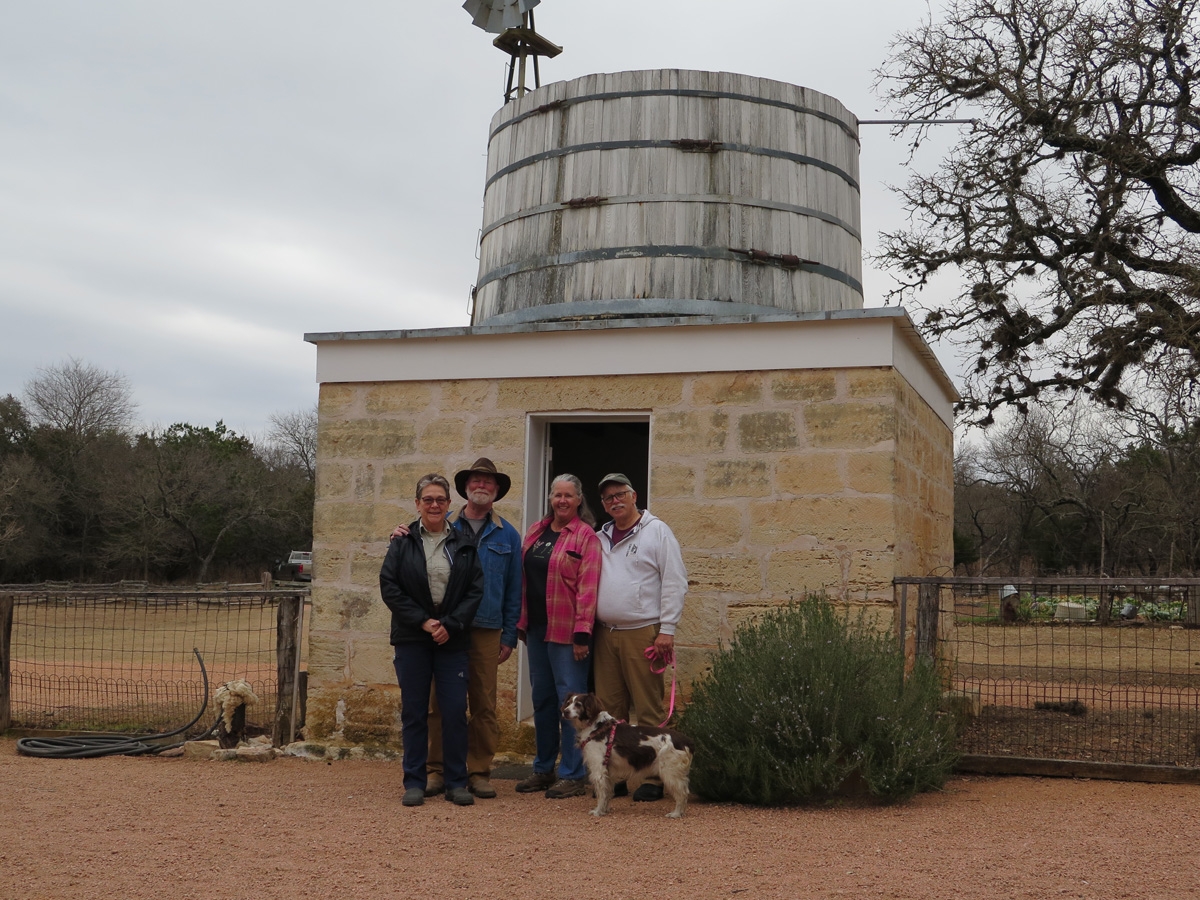
Group photo in front of the tank building.
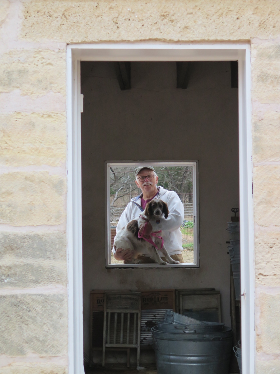
Lynne said that volunteers are all photographed through the door and window of the tank building as mementos of people who have volunteered at the site through the years. Mike and I both agreed that would be a cool shot, so Mike took Belle around for a photo op.
Belle and Mike as seen through the tank building.
Lynne enjoys her gig at the visitor center, but she and I both agree that Jerry has the cooler assignment. How cool would it be to work at a living history farm? Very cool if you ask me.
In my next post I’ll share pics from the Albert Ice House, which is where we went after we finished touring the farm.
As mentioned in my previous post, we arrived in Fredericksburg, Texas on Tuesday, January 25. We stopped here knowing that friends Lynne and Jerry Goebeler would be here.
Dinner with friends Lynne & Jerry Goebeler
For those of you who don’t know, Lynne and Jerry are more moto-blogger buddies of ours who we initially met online. They are both motorcyclists and Lynne is a blogger. We finally met in person in May 2021 when they were passing through Virginia on their way to Acadia National Park. We also met up in late 2021 when we were staying on Dauphin Island in Alabama and they were camped in Orange Beach for a mini vacation on their way to Texas.
The Goebelers have not only been doing the full-time RV thing for much longer than us, they’ve been work-camping, too. Their version of work-camping has been volunteering at various campgrounds, state and national parks, historic sites, etc. in exchange for a free campsite. They are currently volunteering at the nearby Lyndon B. Johnson State Park & Historic Site.
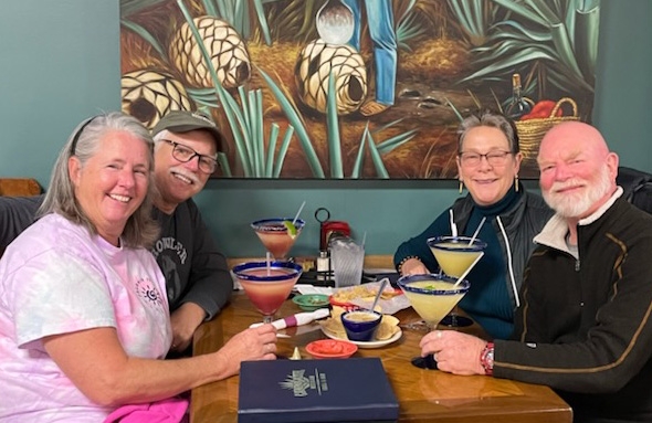
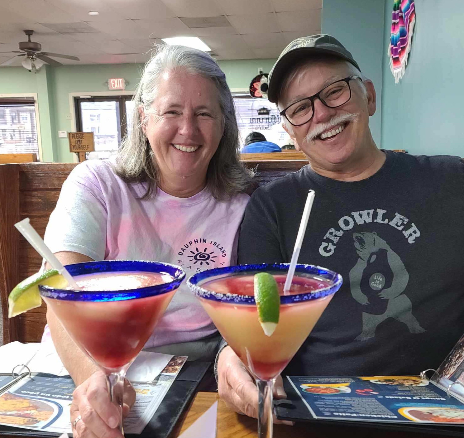
We walked around town a bit on Day 1 together and then they took us to their favorite local Mexican restaurant, Campo Azul.
We finally got some decent, big-ass margaritas! (Photo by Lynne Goebeler)
The drinks were good and the food was delicious. Win-win!
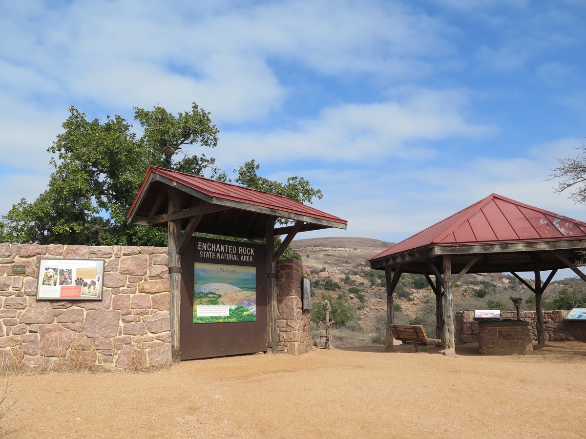
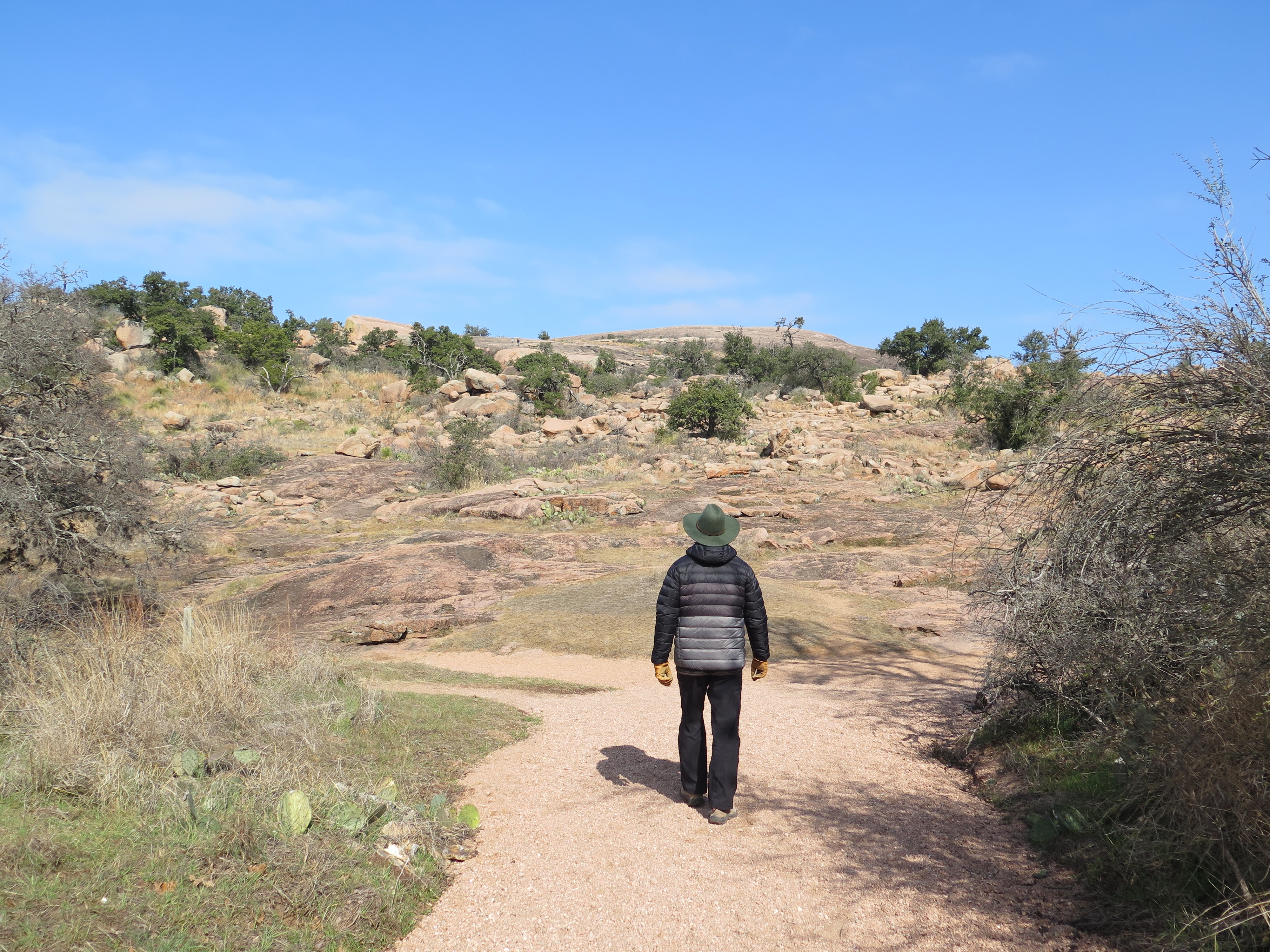
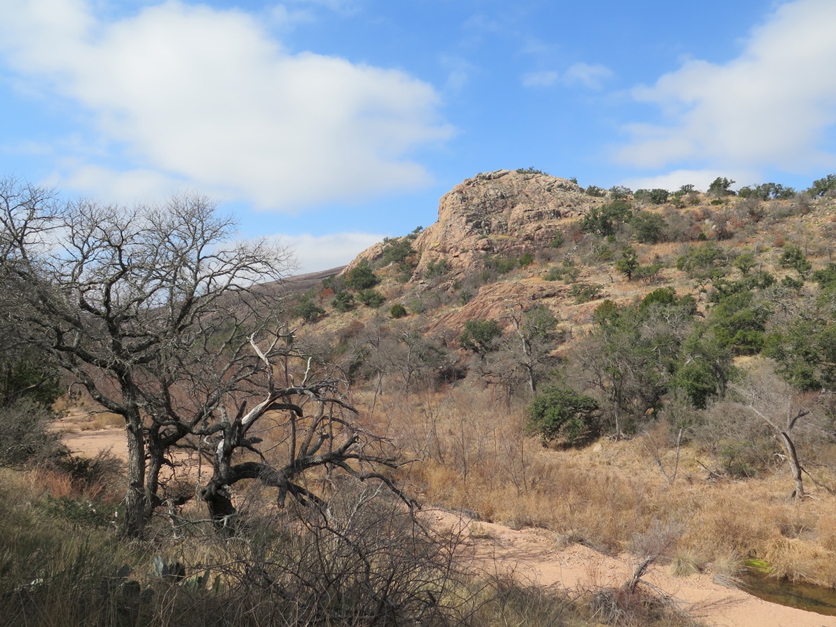
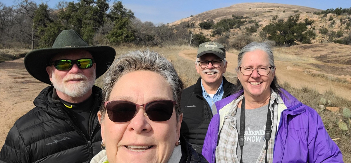
The next day (Wednesday) we all went to the Enchanted Rock State Natural Area for an easy little hike.
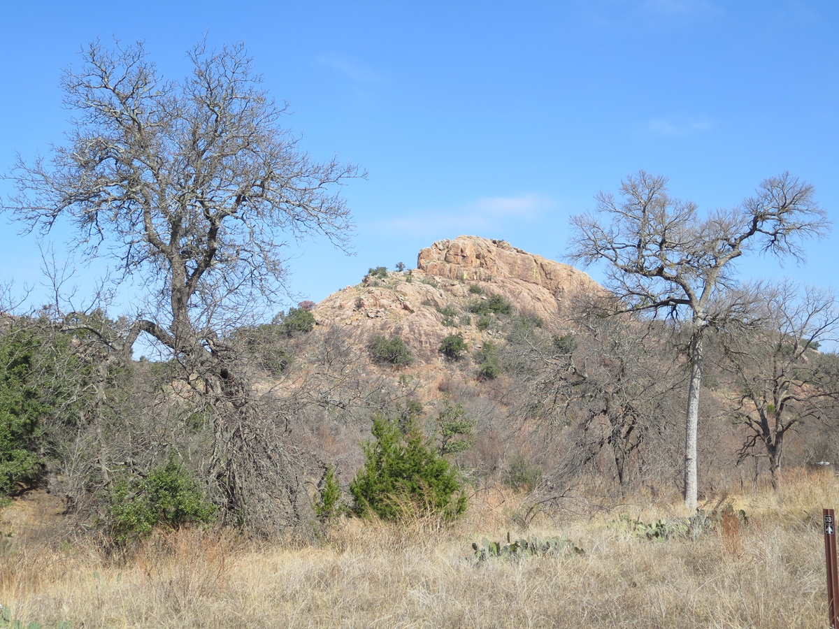
As noted on Wikipedia, Enchanted Rock is a pink granite mountain (part of the Llano Uplift) about 17 miles (27 km) north of Fredericksburg, Texas and 24 miles (39 km) south of Llano, Texas. Enchanted Rock covers roughly 640 acres (260 ha) and rises around 425 feet (130 m) above the surrounding terrain to an elevation of 1,825 feet (556 m) above sea level. It is the largest pink granite hill, knob, ridge, or small mountain that rises abruptly from a gently sloping or virtually level surrounding plain in the United States.
Following are quite a few pics I captured during our visit.
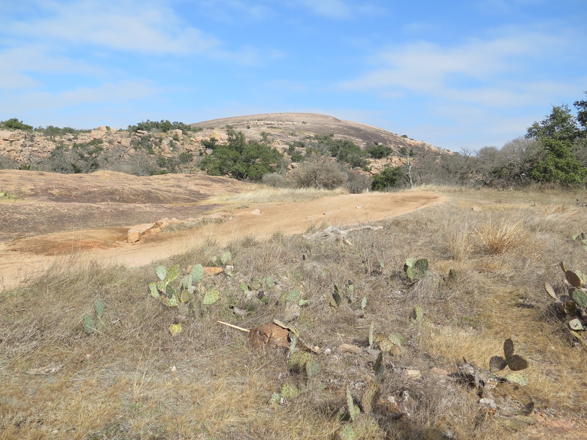
Signage near the park entrance. Enchanted Rock is the slope you see in the background.
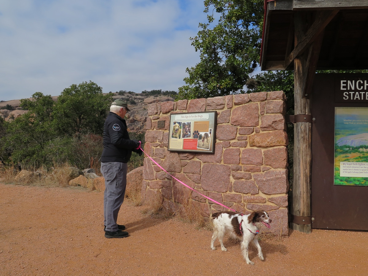
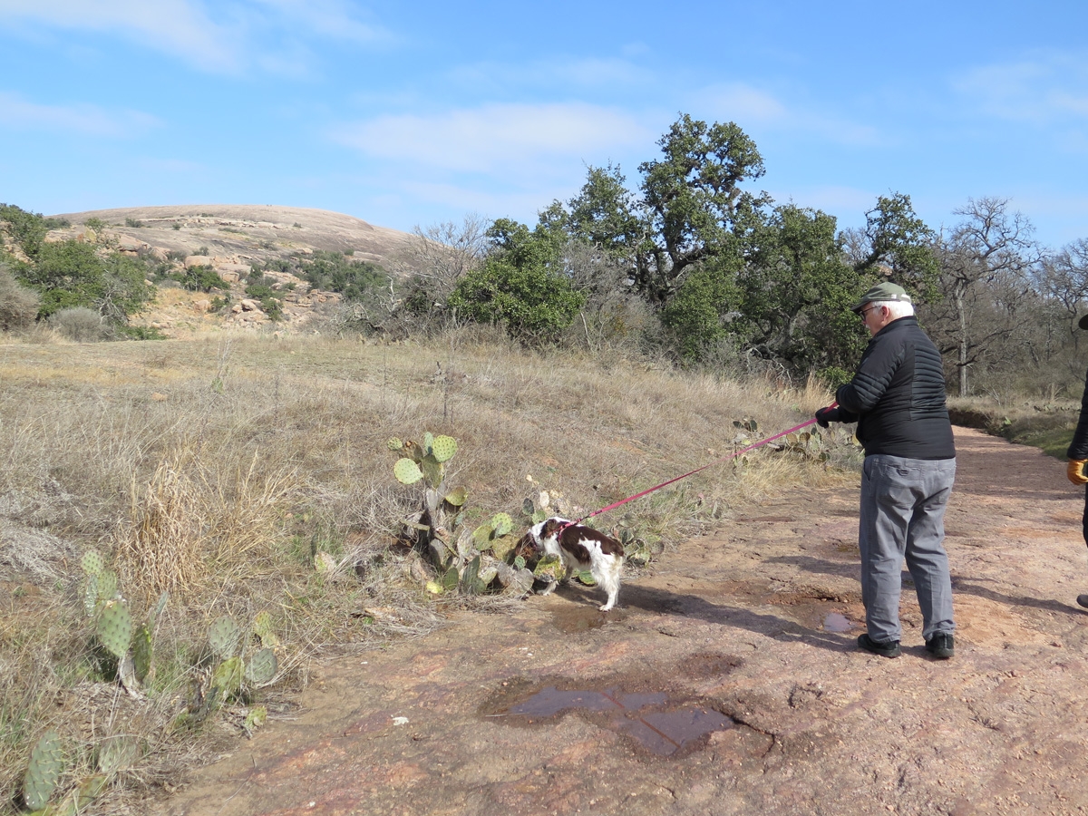
Belle was excited to be out and about.
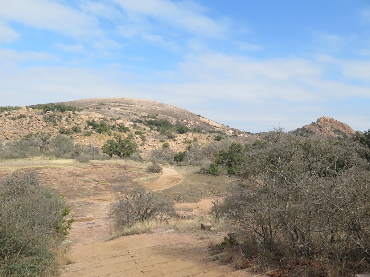
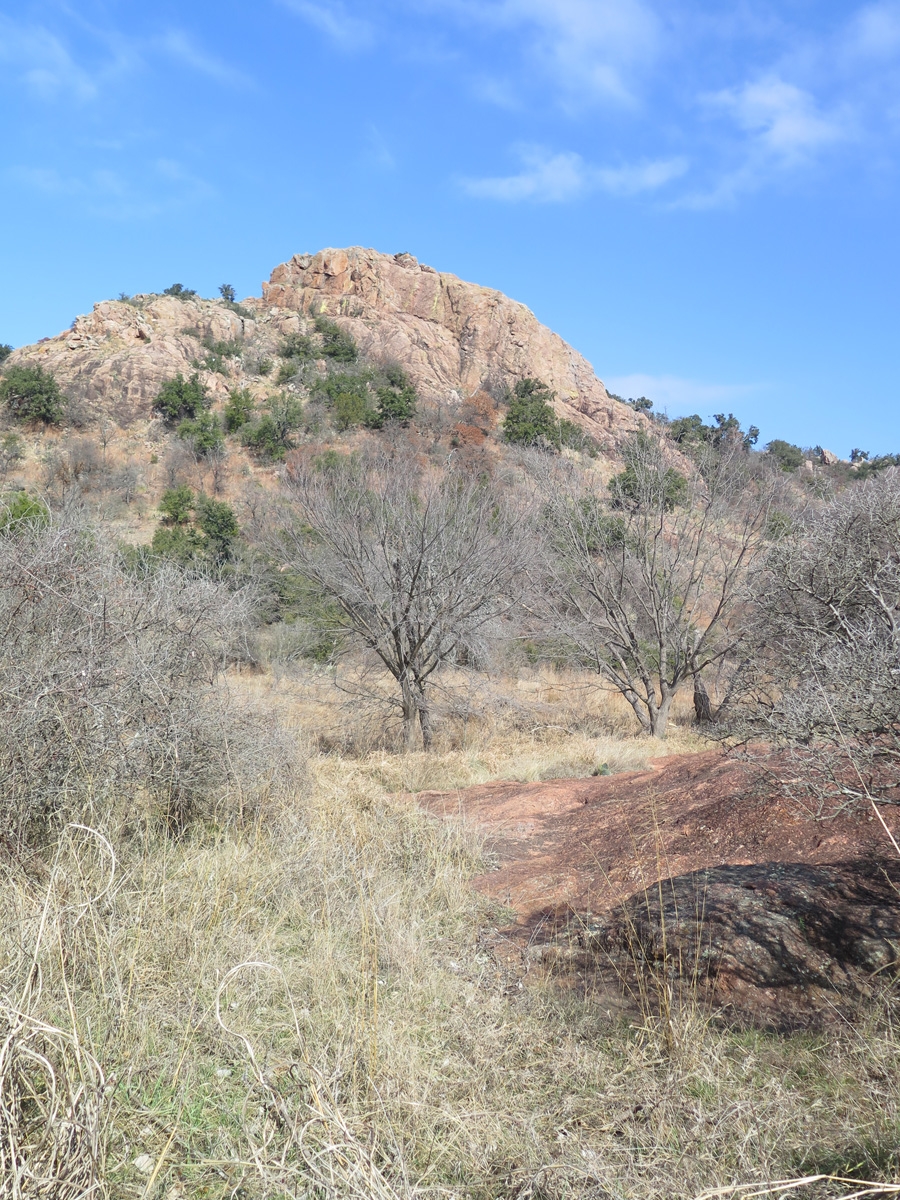
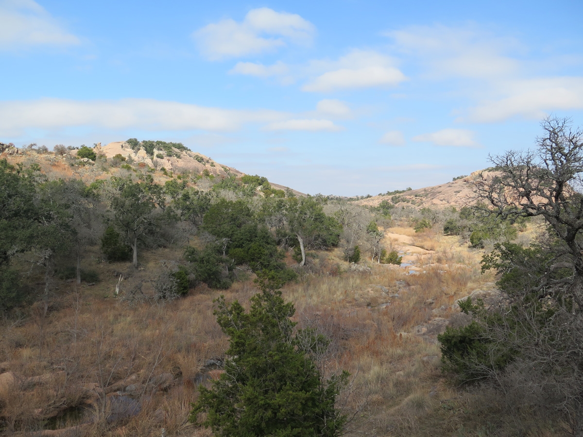
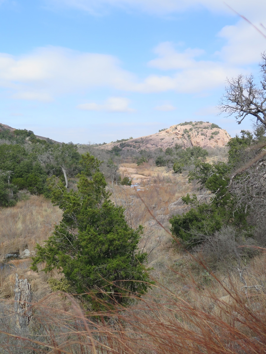
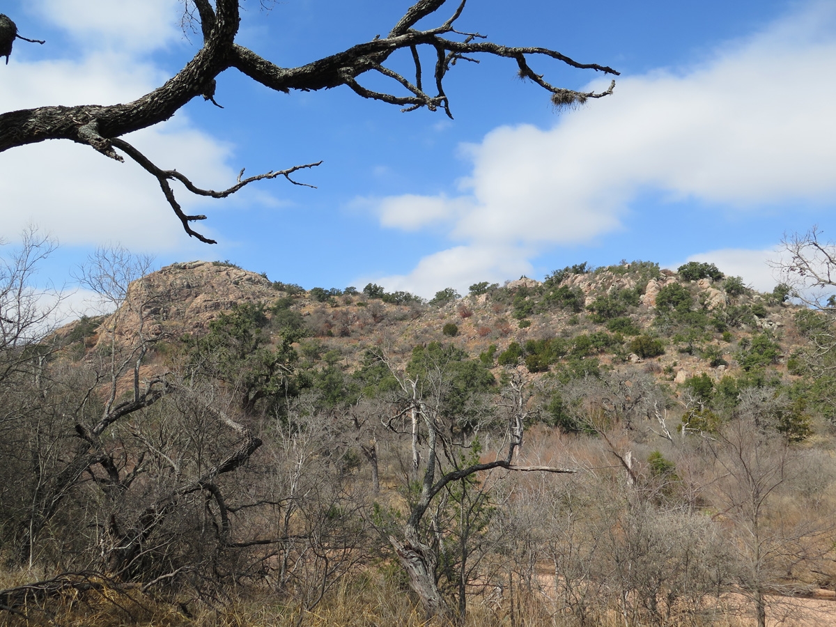
These images do not do justice to the scale of Enchanted Rock. It’s much larger than it appears here.
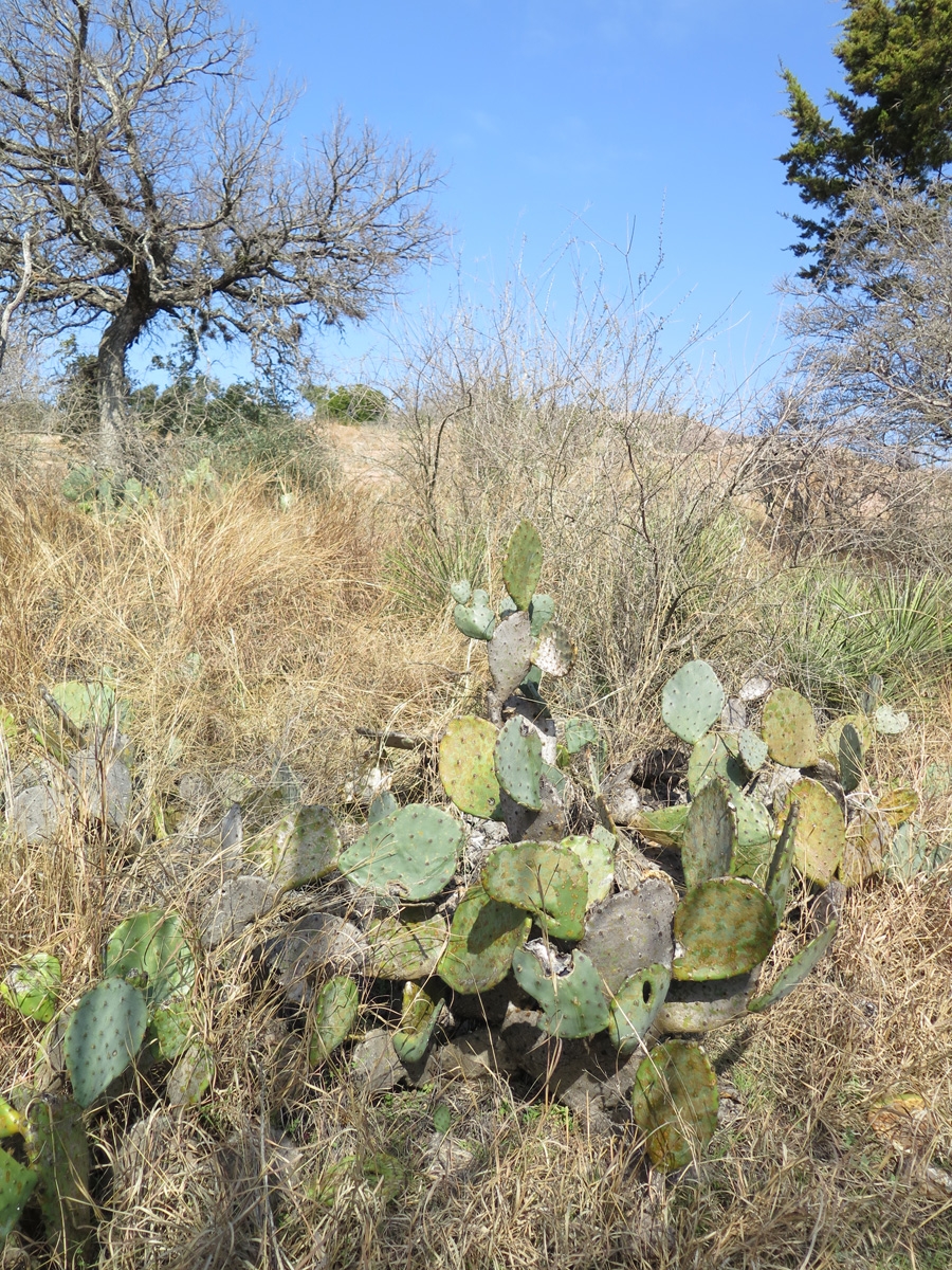
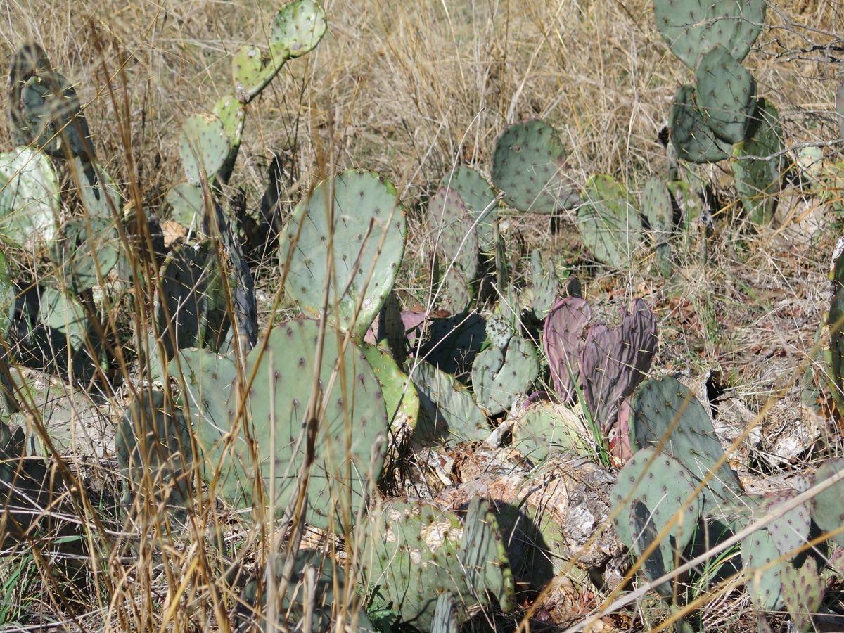
Prickly Pear Cacti in the foreground.
This is the first time on this trip we’ve been exposed to Prickly Pear cacti in large numbers.
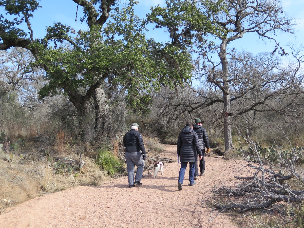
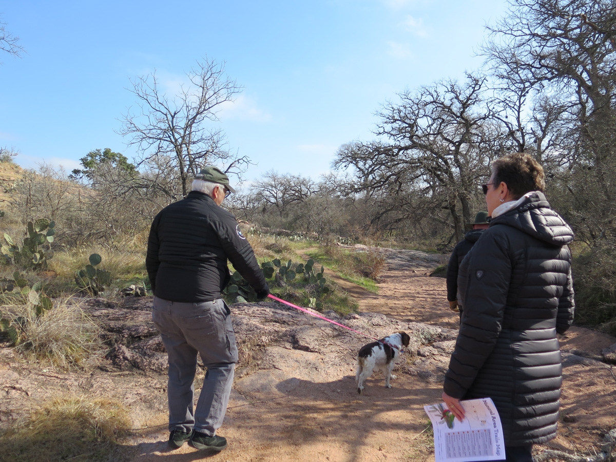
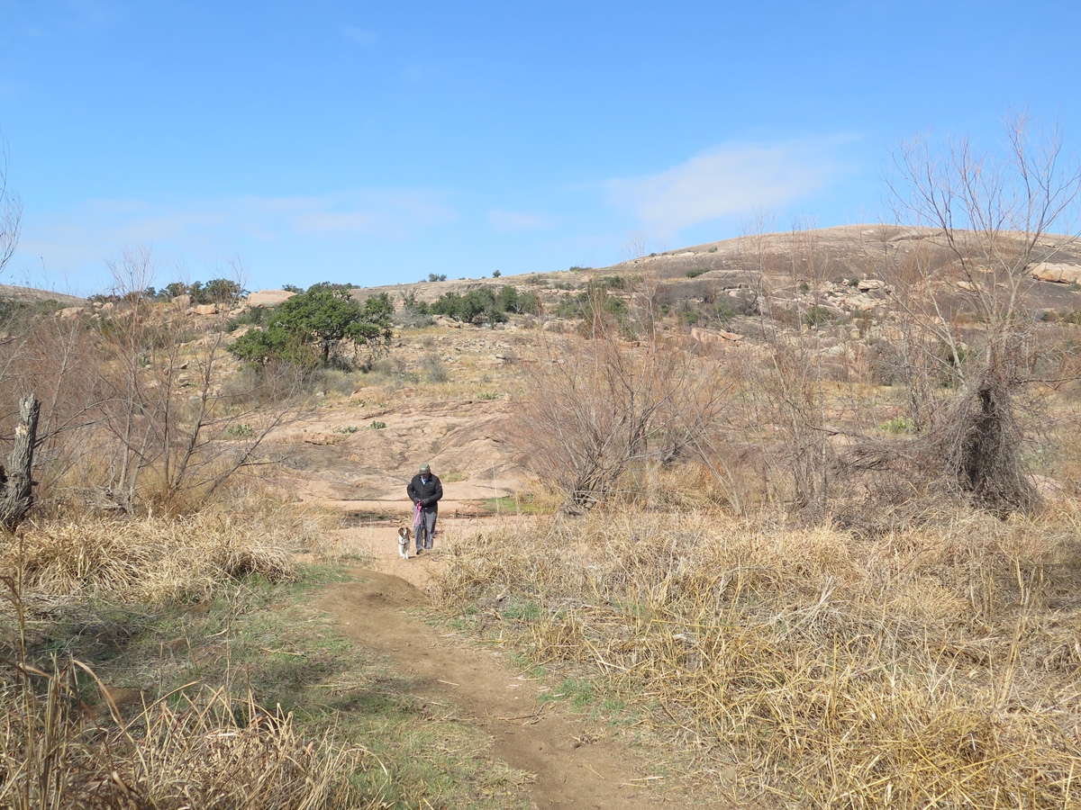
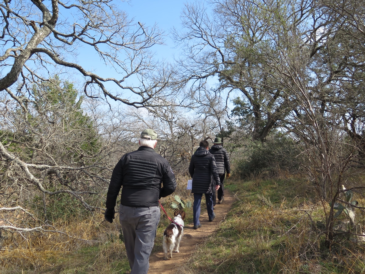
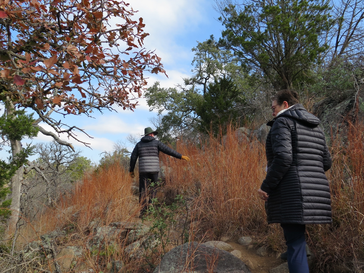
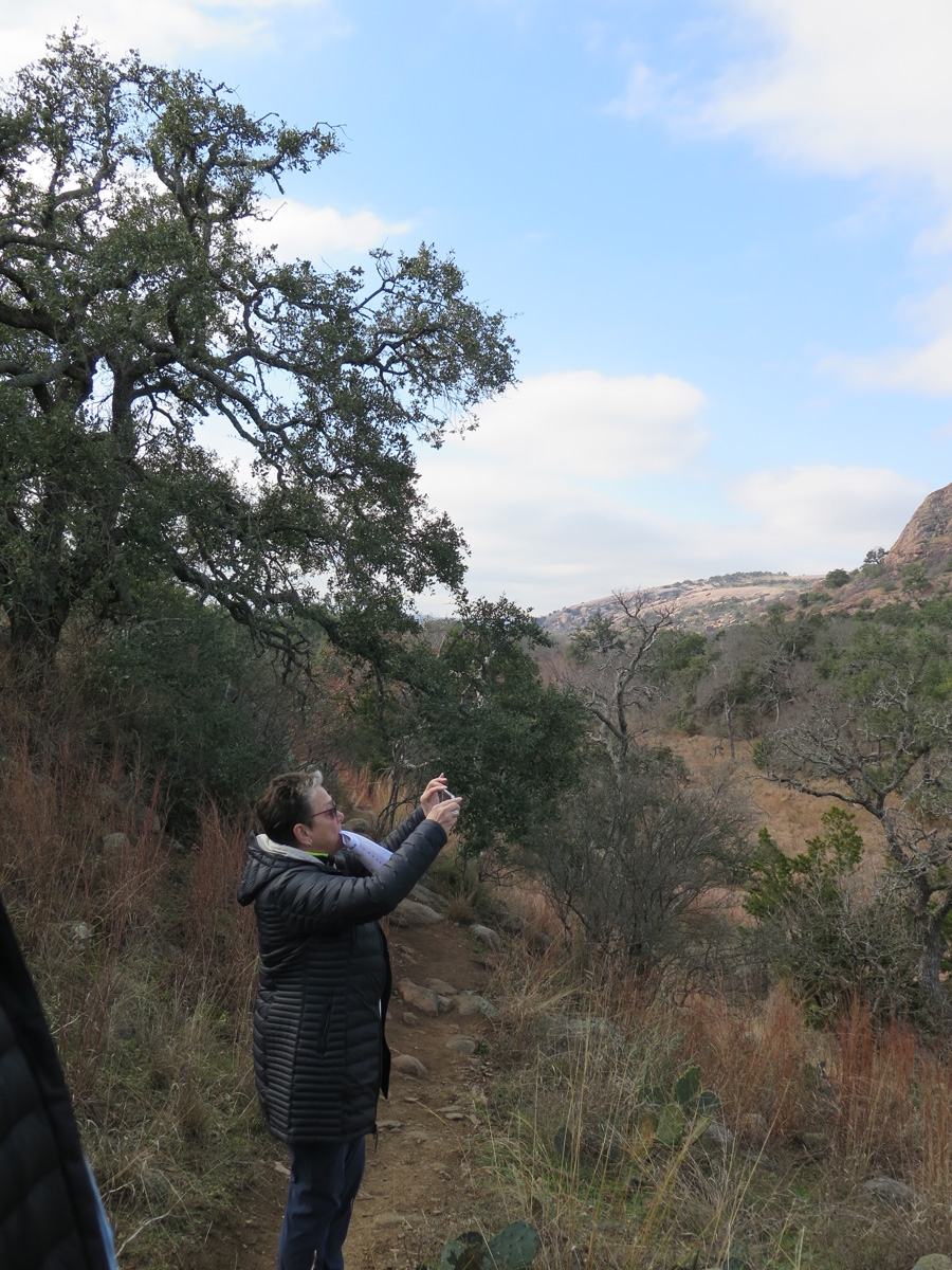
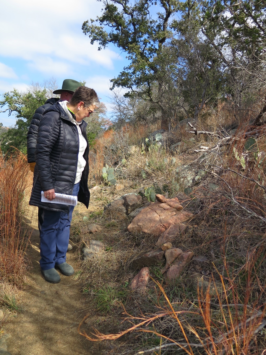
L-R, Mike, Belle, Lynne, and Jerry hiking ahead of me.
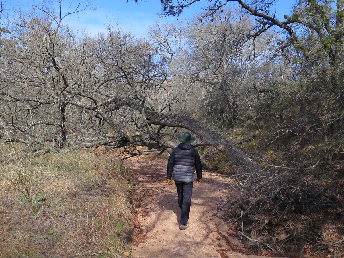
Jerry was just about to duck under a Live Oak tree that was growing across the path.
Jerry makes an excellent hike leader.
The Goebelers were both very patient and understanding of our need to bring Belle along (she hates being left alone).
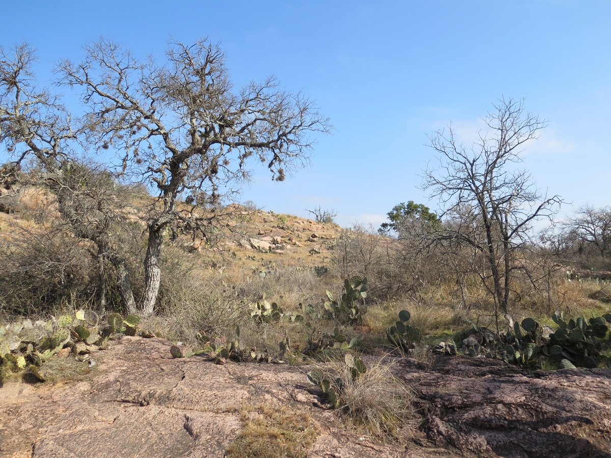
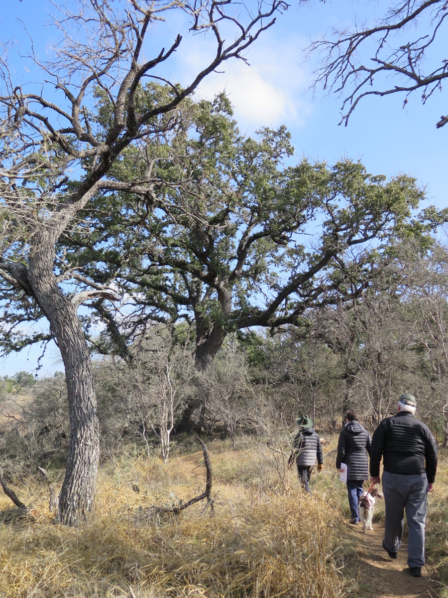
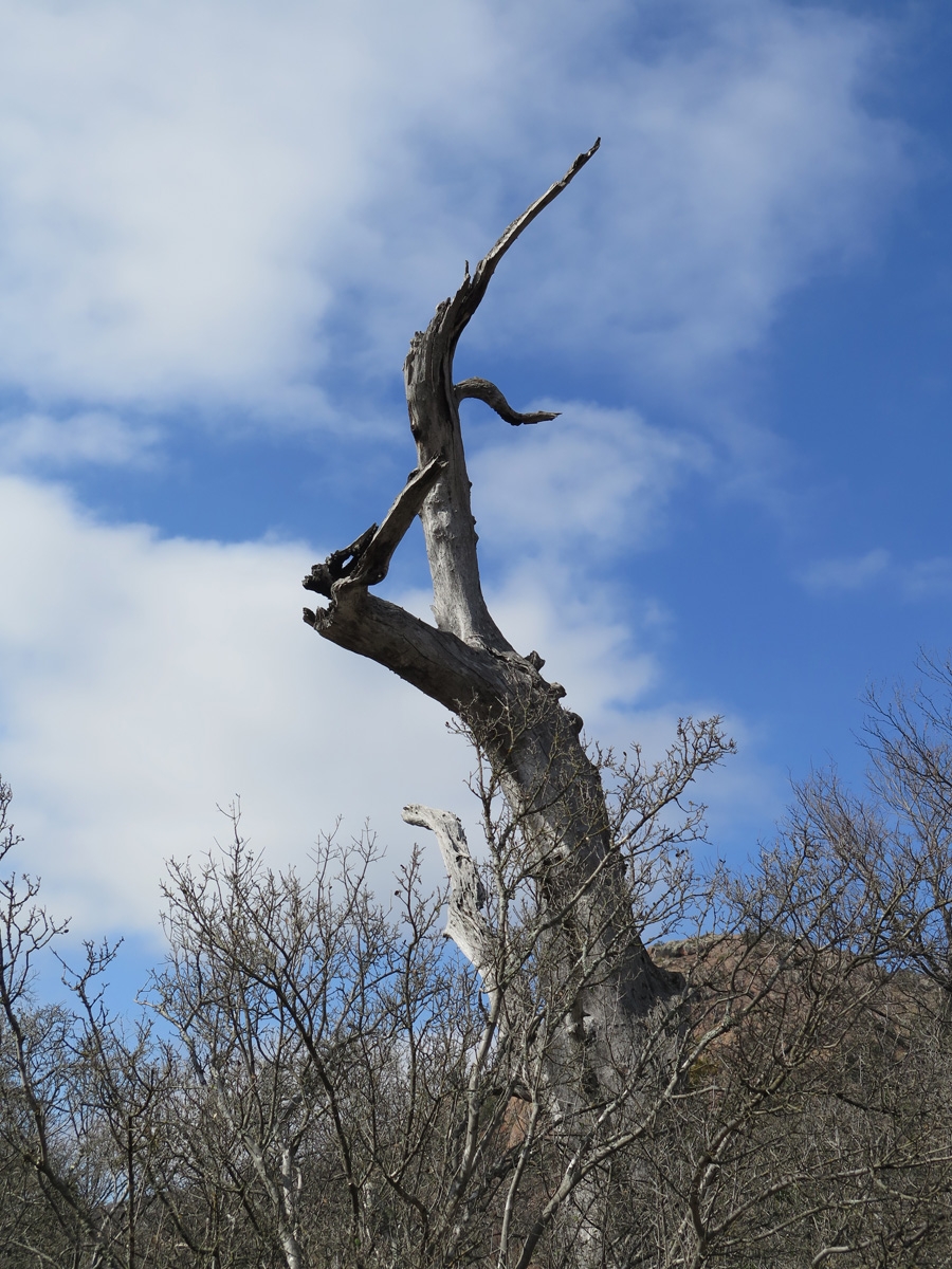
General scenery at Enchanted Rock State Natural Area.
Prickly Pear Cacti (per Lynne, a lot of Prickly Pear across the Hill Country region were damaged during the Texas deep freeze in 2021)
Mike and Belle were bringing up the rear here as Belle kept getting distracted by interesting smells.
Prickly Pear Cacti
General scenery at Enchanted Rock State Natural Area.
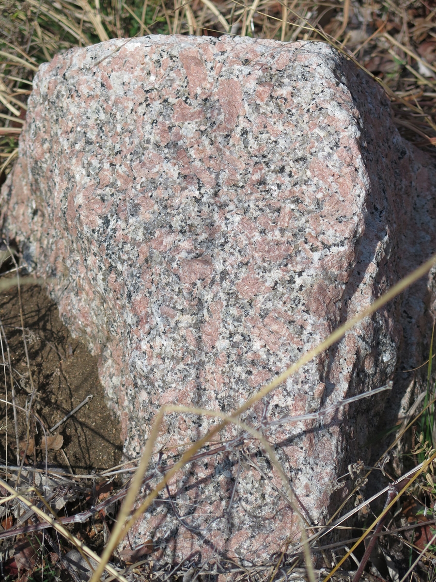
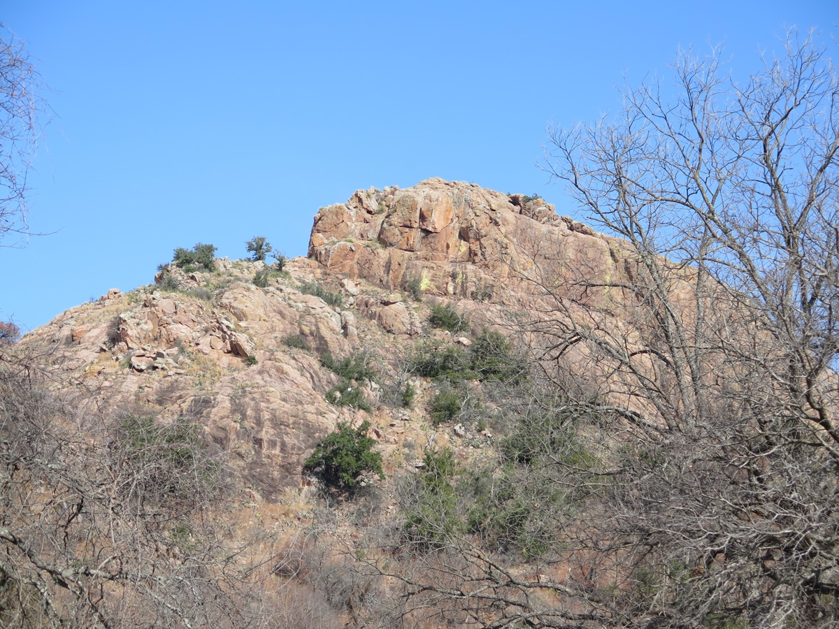
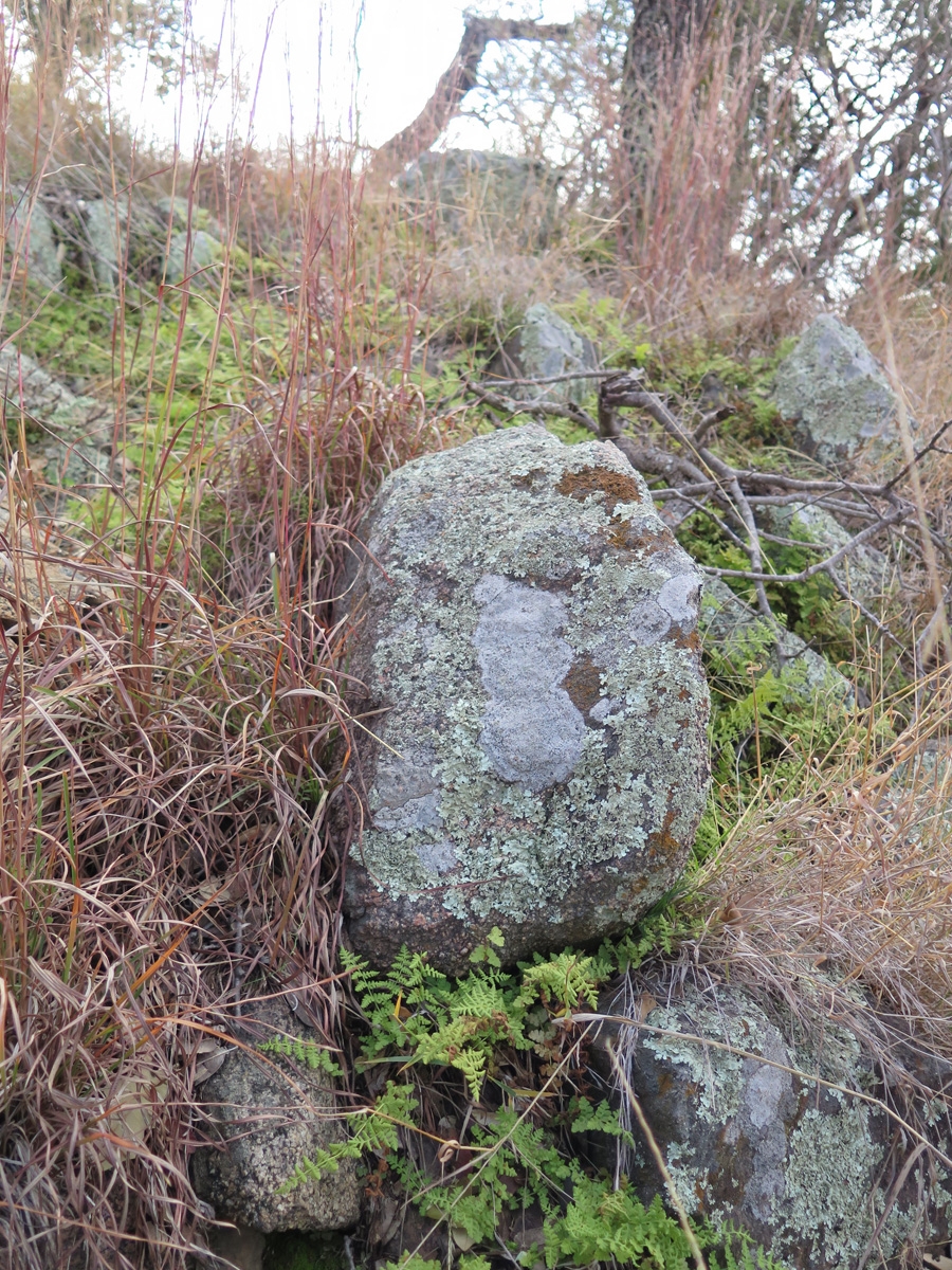
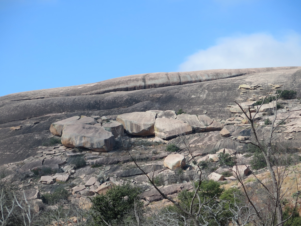
Close-up of a pink granite boulder.
Another large outcrop of pink granite rock. (The trees growing near the top should help provide a sense of scale.)
This is a great example of the colors of the Winter landscape throughout the Texas Hill Country.
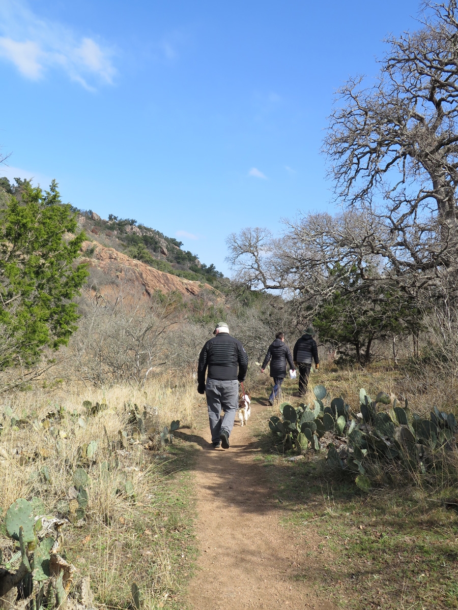
Hiking on the Loop Trail at the Enchanted Rock State Natural Area.
Hiking on the Loop Trail at the Enchanted Rock State Natural Area.
Hiking on the Loop Trail at the Enchanted Rock State Natural Area.
Hiking on the Loop Trail at the Enchanted Rock State Natural Area.
General scenery at Enchanted Rock State Natural Area.
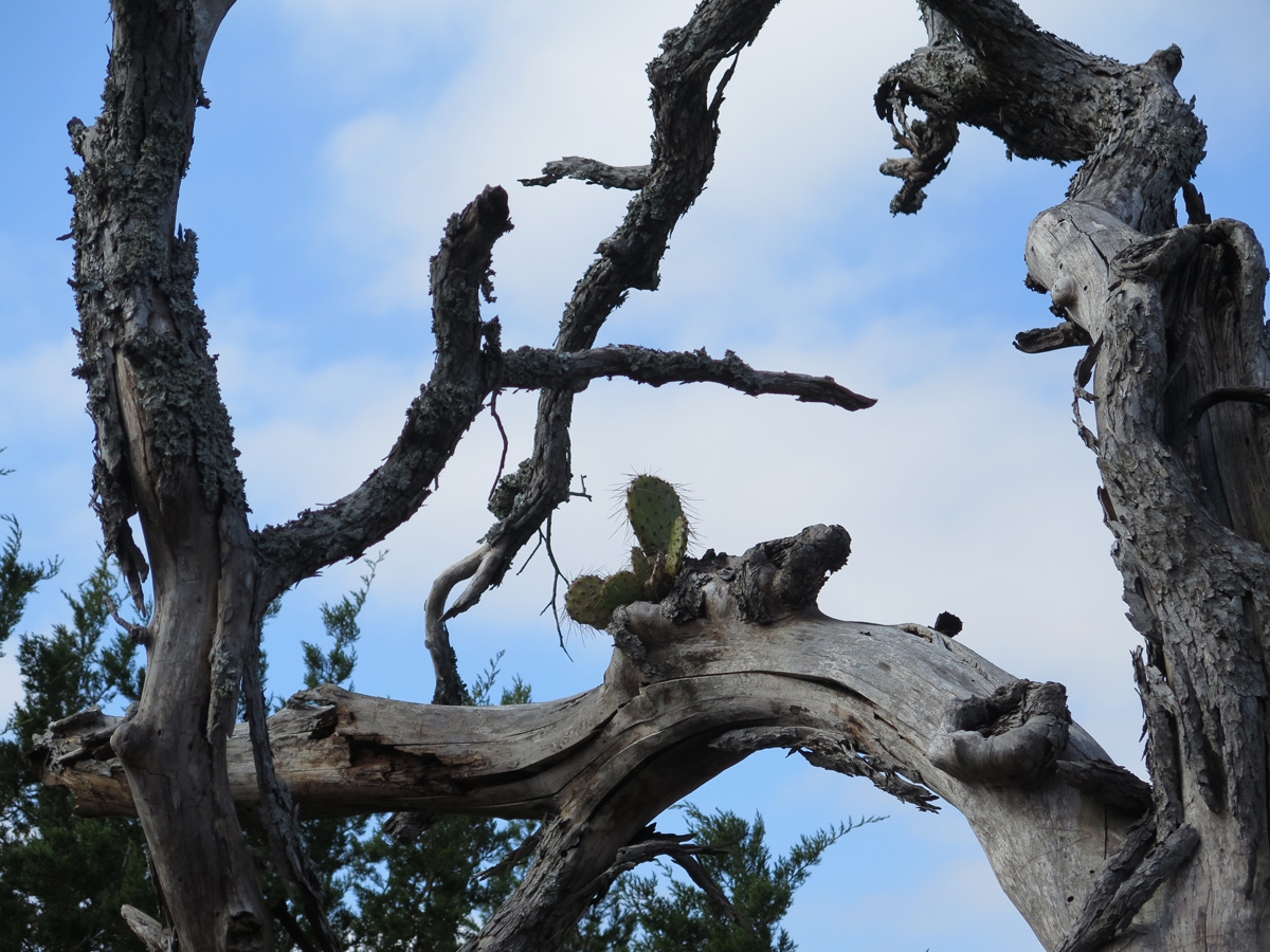
Prickly Pear cactus growing high up in an oak tree.
Lynne in action capturing pictures to share on social media.
General scenery at Enchanted Rock State Natural Area.
General scenery at Enchanted Rock State Natural Area.
Wet spot with a healthy population of small ferns growing around this lichen-covered granite boulder.
Lynne and Jerry admiring the landscape.
Image captured along the Loop Trail at the Enchanted Rock State Natural Area.
Image captured along the Loop Trail at the Enchanted Rock State Natural Area.
Close-up of a small portion of Enchanted Rock. The sense of scale is way off here. The boulders in the center of the image are probably at least 50 feet (~15 meters) tall.
The following image, captured by Lynne, sums up the mood of the day well. It was awesome to be out in nature with friends.
Photo by Lynne Goebeler
After our hike, we drove north to Llano, at Lynne’s recommendation, for lunch at Cooper’s. That’s their favorite Hill Country barbecue. It did not disappoint. We’ve eaten some amazing brisket since we’ve been in Texas, but I think Cooper’s may be the best so far. South BBQ in San Antonio was a VERY close second.
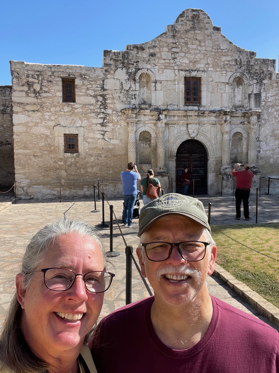
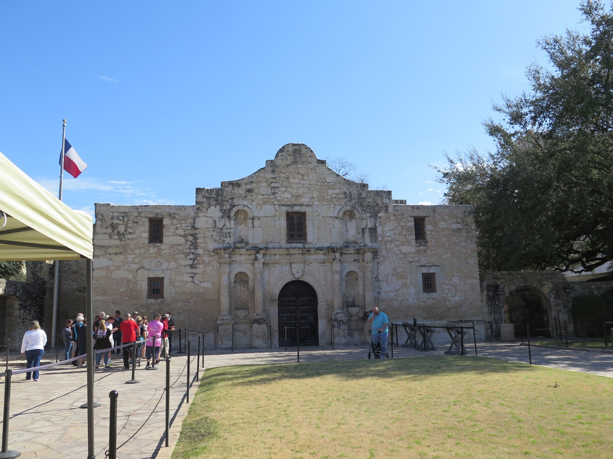
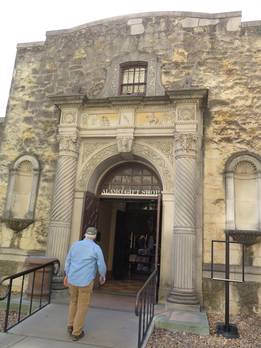
The last time Mike and I were in San Antonio (a quick work trip in 2014), we saw The Alamo, but it was too crowded to go inside and visit. Actually, it was too hot to stand in the long line required to get inside. So we skipped it. This time, we were determined to go inside, and we did. They don’t allow photos, so we have no proof of that visit. But I did get some pics outside of The Alamo and around downtown.
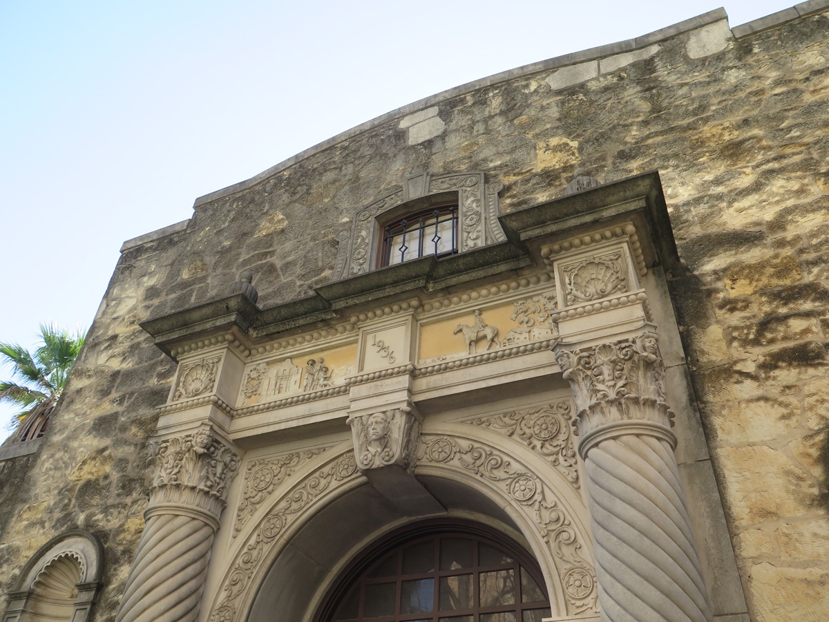
The building itself seems small, situated in the middle of the city as it is.
The Alamo
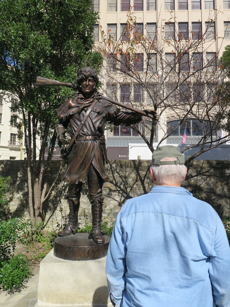
Davy Crockett statue at The Alamo.
Pretty doorway.Mike walking into the gift shop.
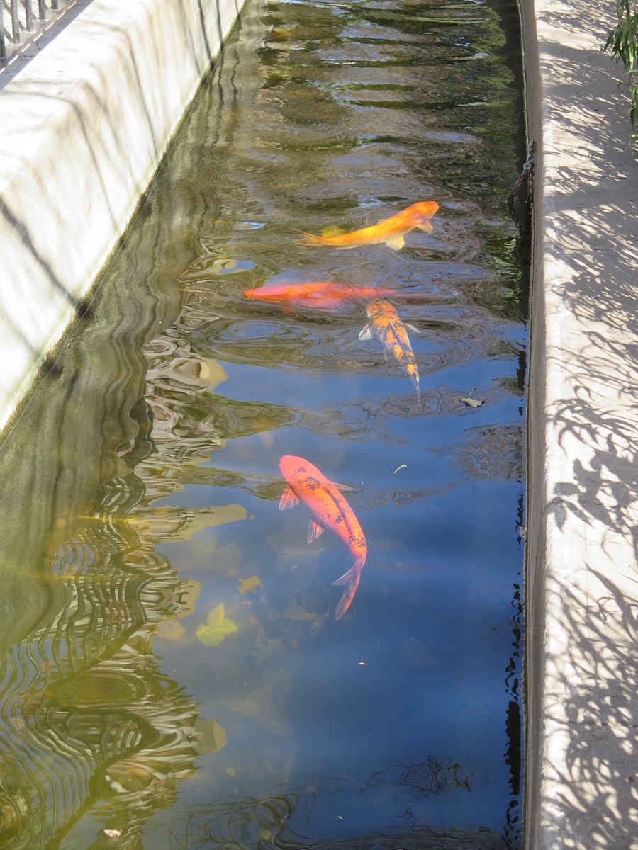
“What kind of fish are these?” Mike asked. “Don’t be coy!”
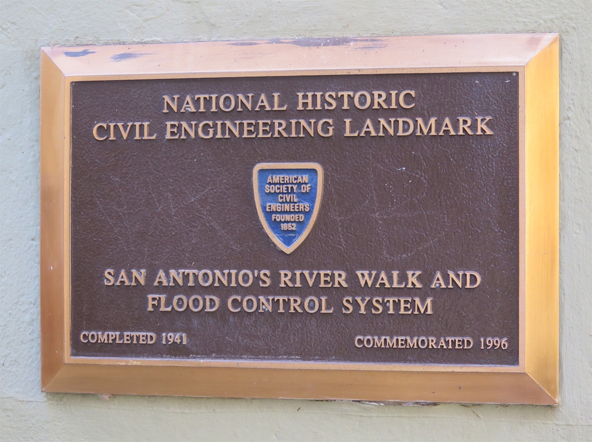
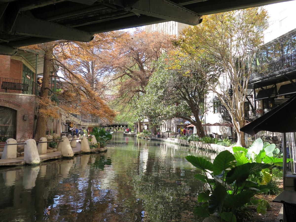
Marker at the River Walk.
The River Walk is a series of pathways along the San Antonio river in the heart of downtown. It’s lined with shops, hotels, and restaurants. It was not created to be a tourist trap. The system of winding pathways and bridges flanking the river were actually created to harness the San Antonio river running through downtown, and to help manage the heavy seasonal rains. It’s actually a lovely place to visit, especially when it’s not at all crowded.
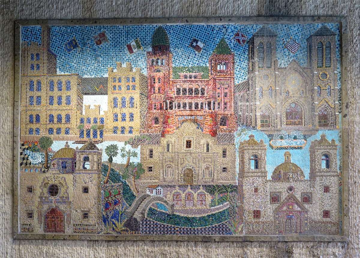
Mosaic spotted along the River Walk.
As seen along the River Walk.
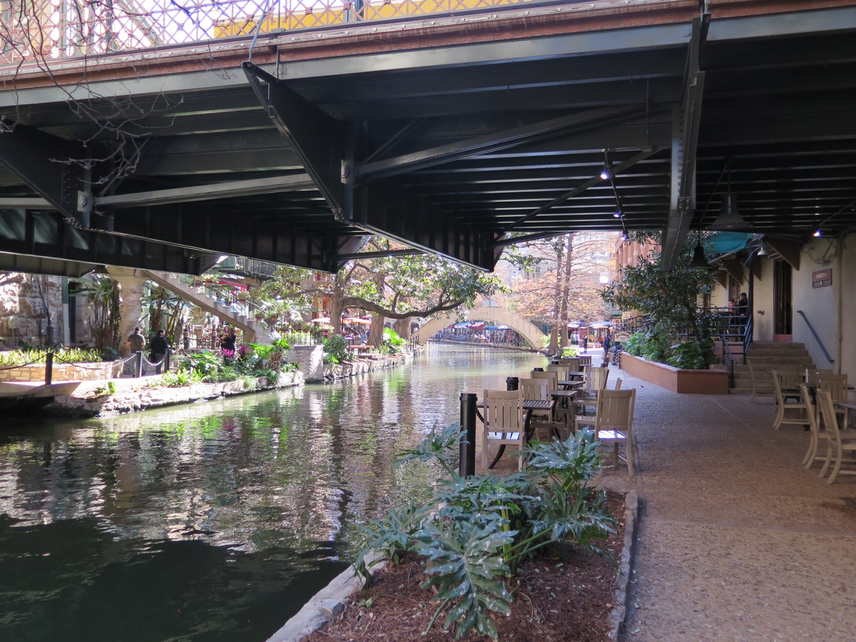
Another view along the River Walk.
It’s cooler walking in the shade along the river.
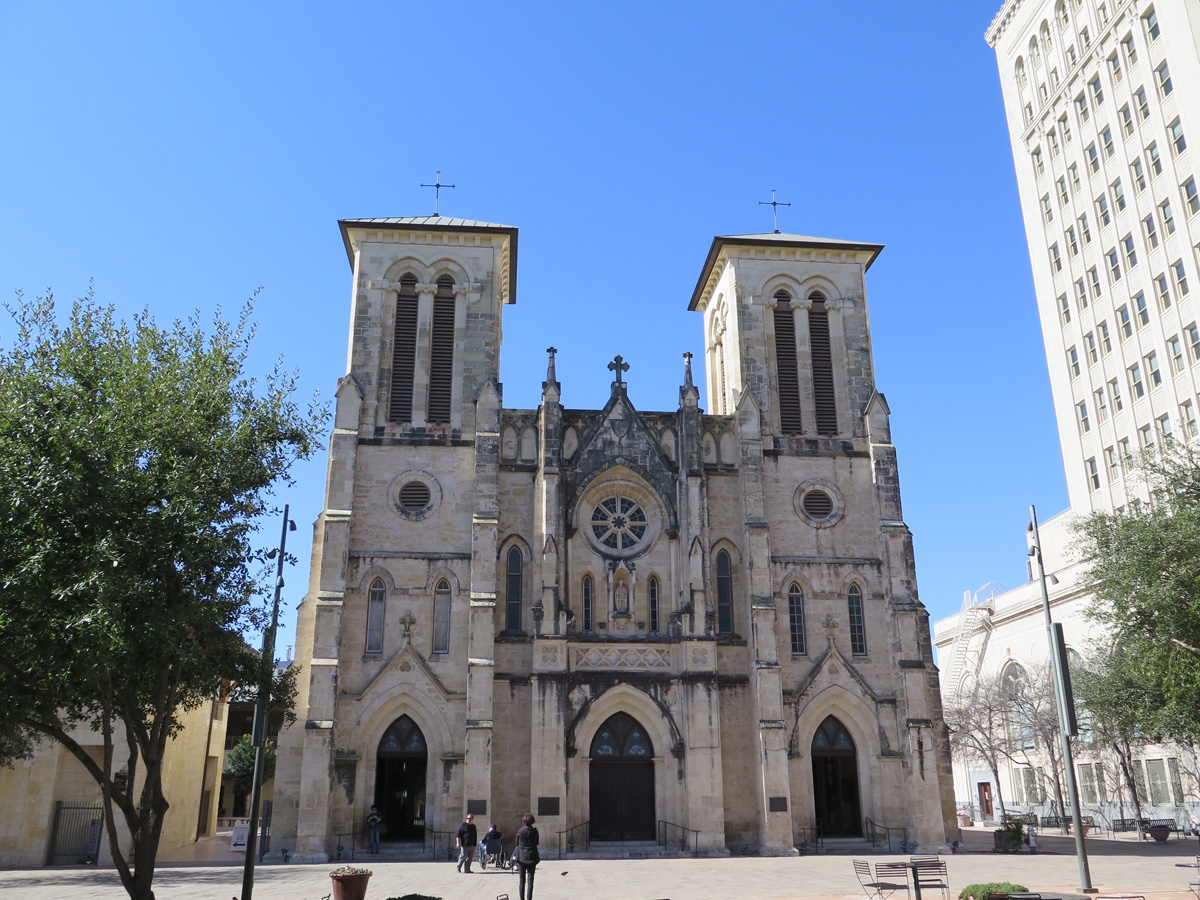
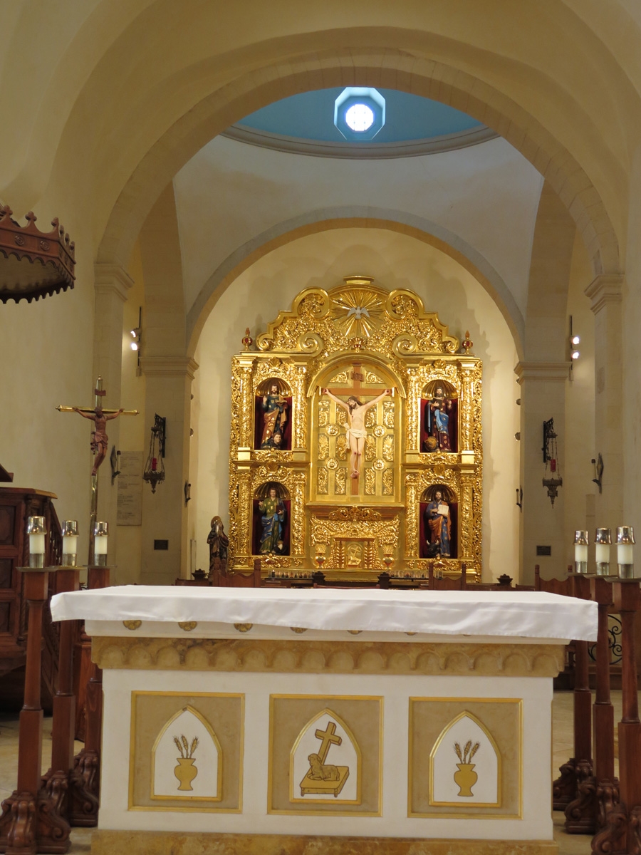
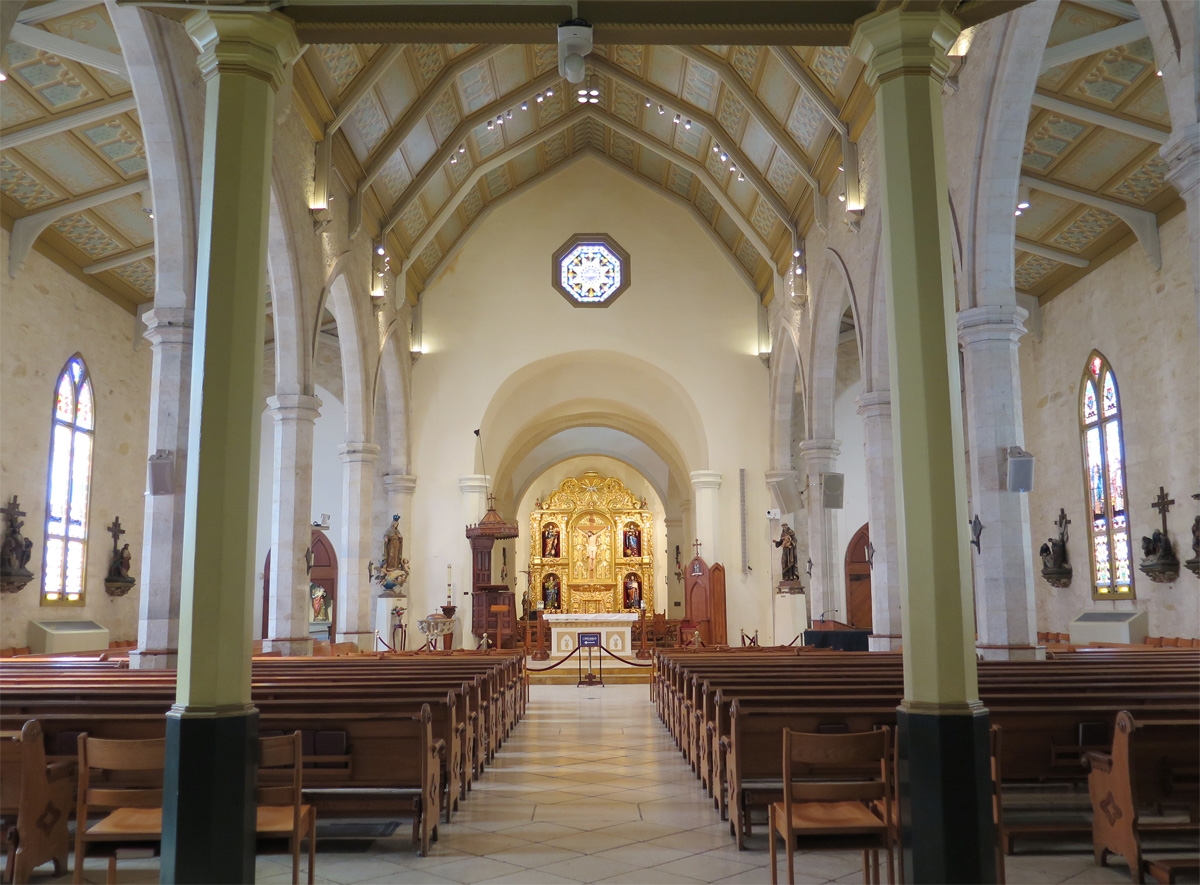
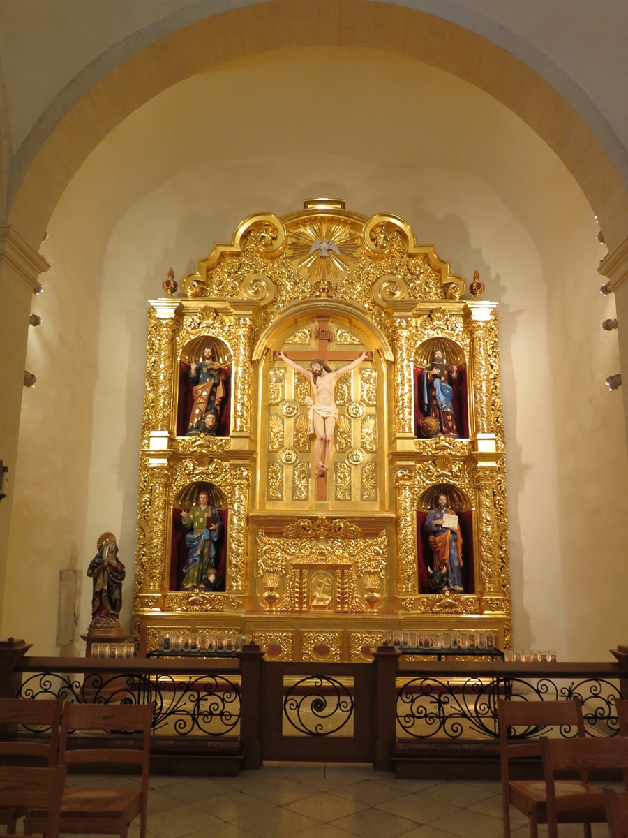
We were walking along the River Walk on our way to see the San Fernando Cathedral, which was founded in 1731 and is the oldest standing church building in Texas.
San Fernando Cathedral
Altar at the San Fernando Cathedral.
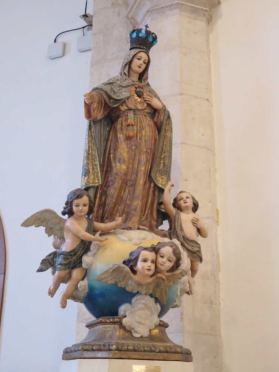
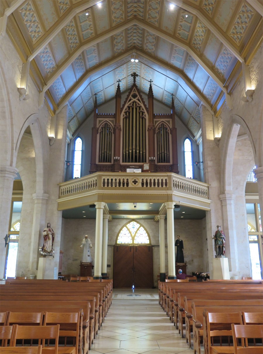
Inside the cathedral.
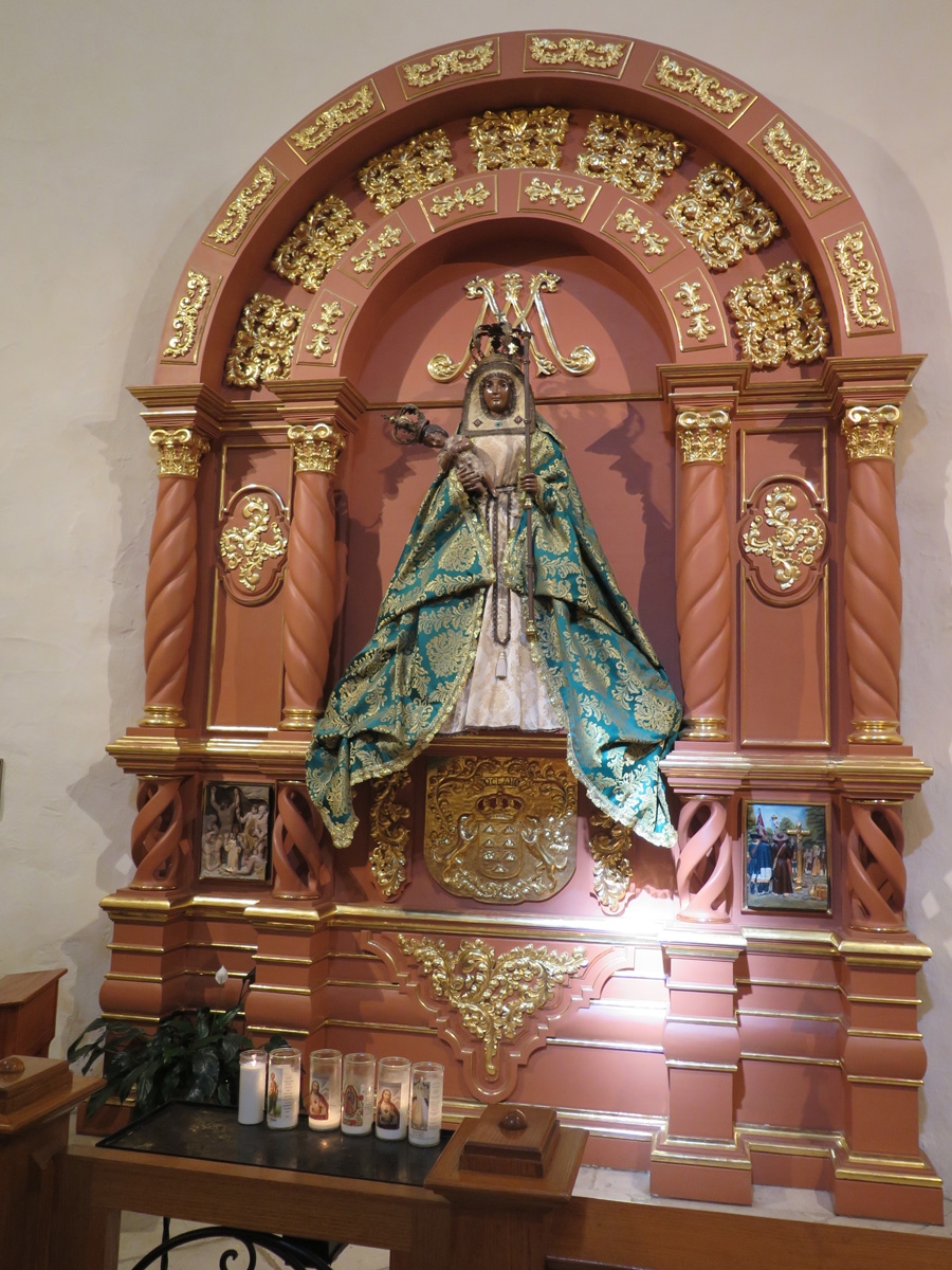
Pretty statues.
Closer look at the gilded altar.
Interestingness
Pipe organ.
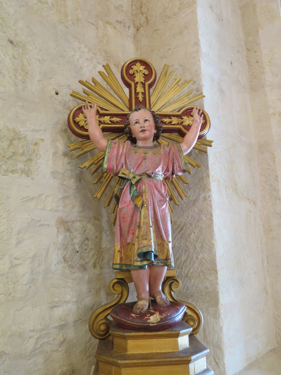
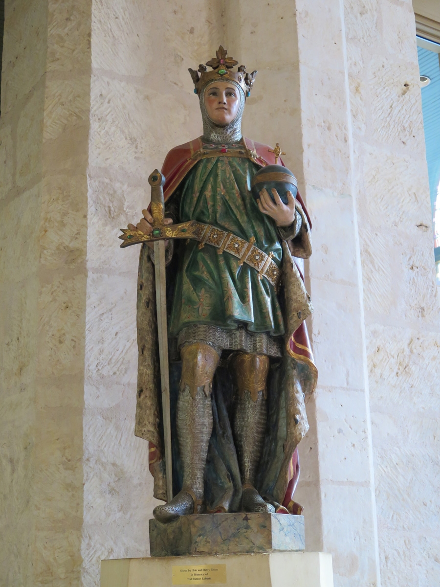
Interesting statue.
Interesting statue. (I like painted statues. I grew up going to a Baptist church and we didn’t have decorations like this!)
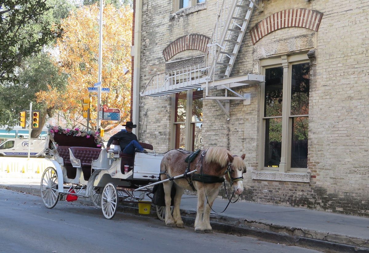
Back at street level, this horse and his carriage appeared to be waiting for the evening rush.
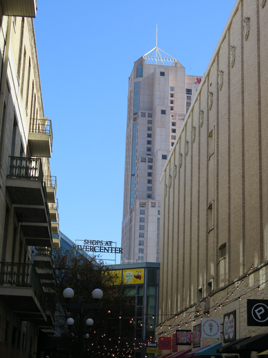
The Marriott River Center hotel (building with antenna on top) is one for which Mike designed the plumbing system back in the 1980s. It’s the tallest building in San Antonio (other than the Tower of the Americas) and is the tallest hotel in Texas outside of Dallas.
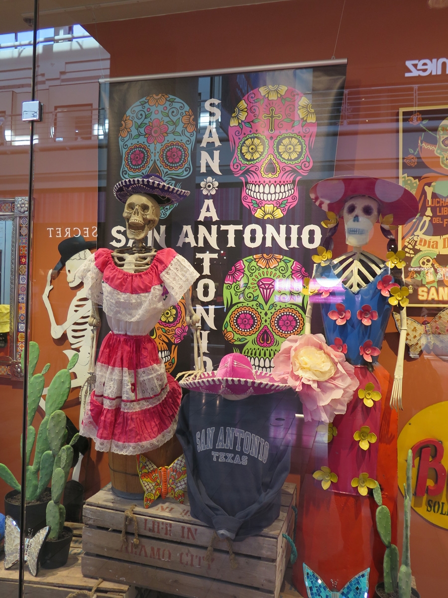
Random souvenir color.
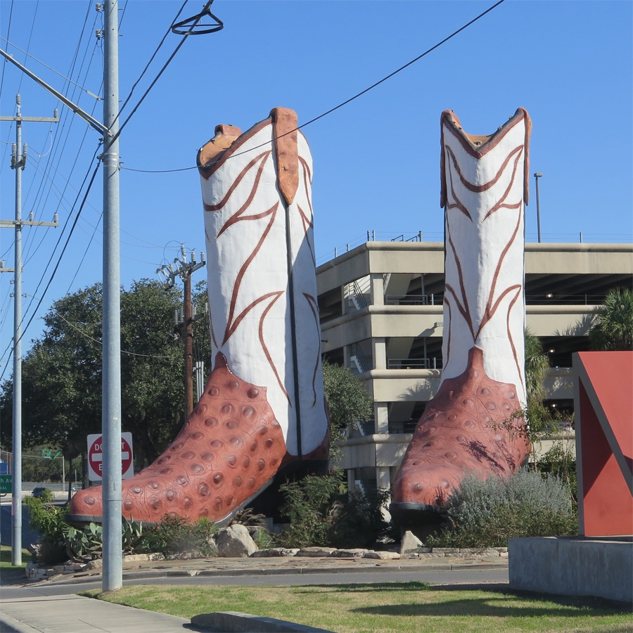
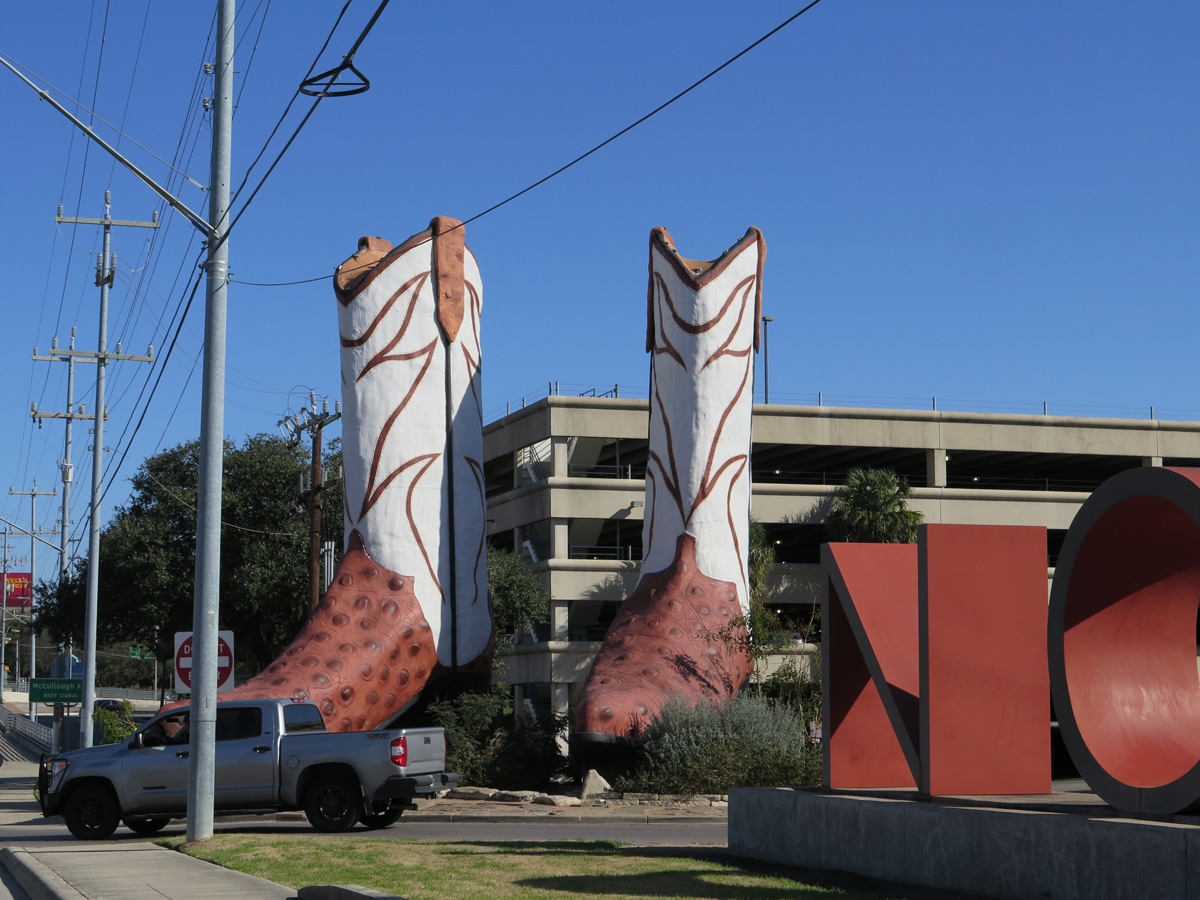
World’s Largest Cowboy Boots!
World’s Largest Cowboy Boots, again, with a pick-up truck for scale.
And that was our day in downtown San Antonio. We drove a little bit north of the city center to go to Two Brothers Barbecue before we stopped to see the cowboy boots. We’ve been eating barbecue frequently. Texas is well-known for having good barbecue, and it is everywhere, much to our delight.
We left our campsite south of downtown San Antonio on Friday, January 21. From there, we went to an Army Corps of Engineers campground at Canyon Lake, northeast of San Antonio. We only stayed there for a few days. We moved to Fredericksburg, Texas, northwest of San Antonio, on January 25 to visit with some friends. We will be there for a week.
After that, it’s off to Big Bend National Park. We are both really excited about that destination. It’s been on our list of national parks to visit for a very long time.
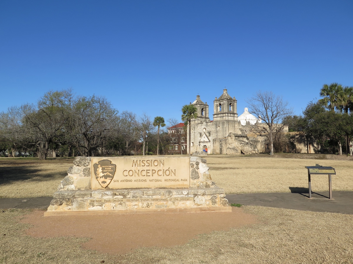
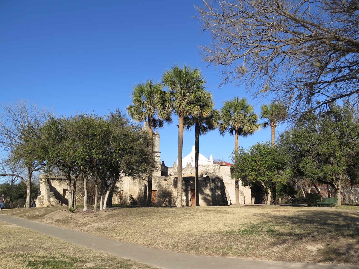
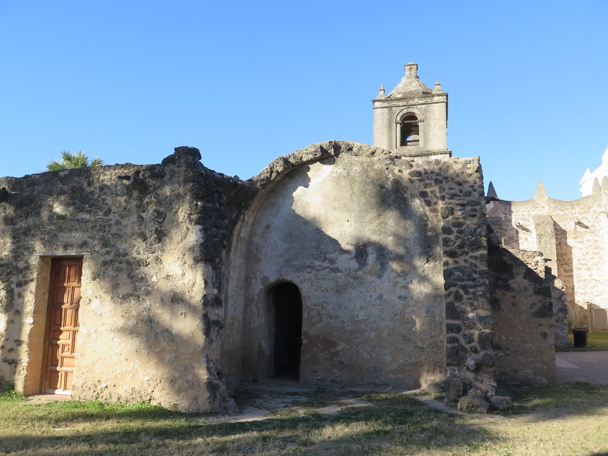
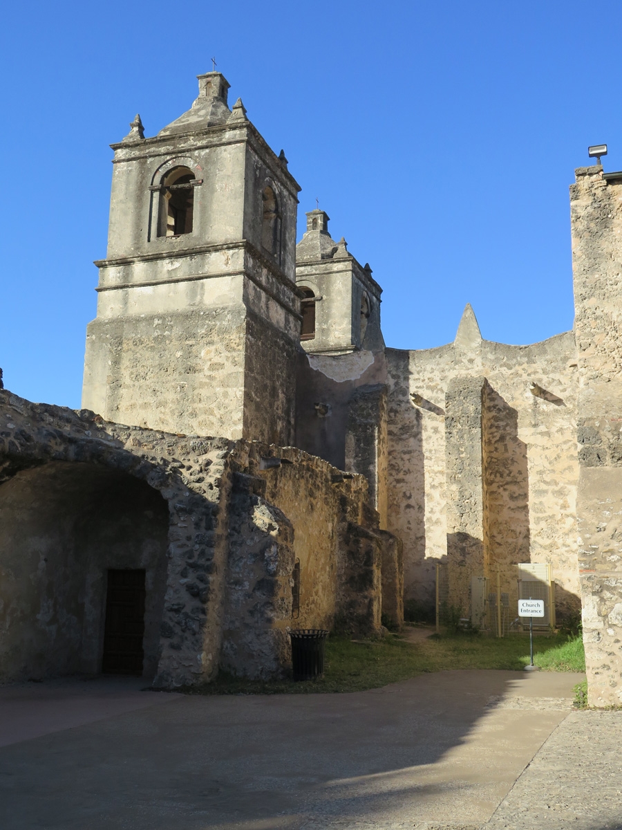
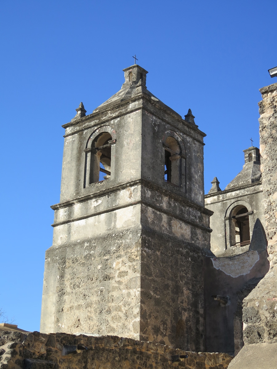
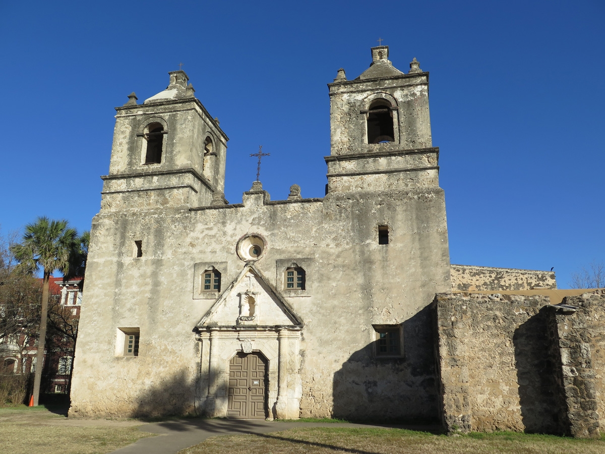
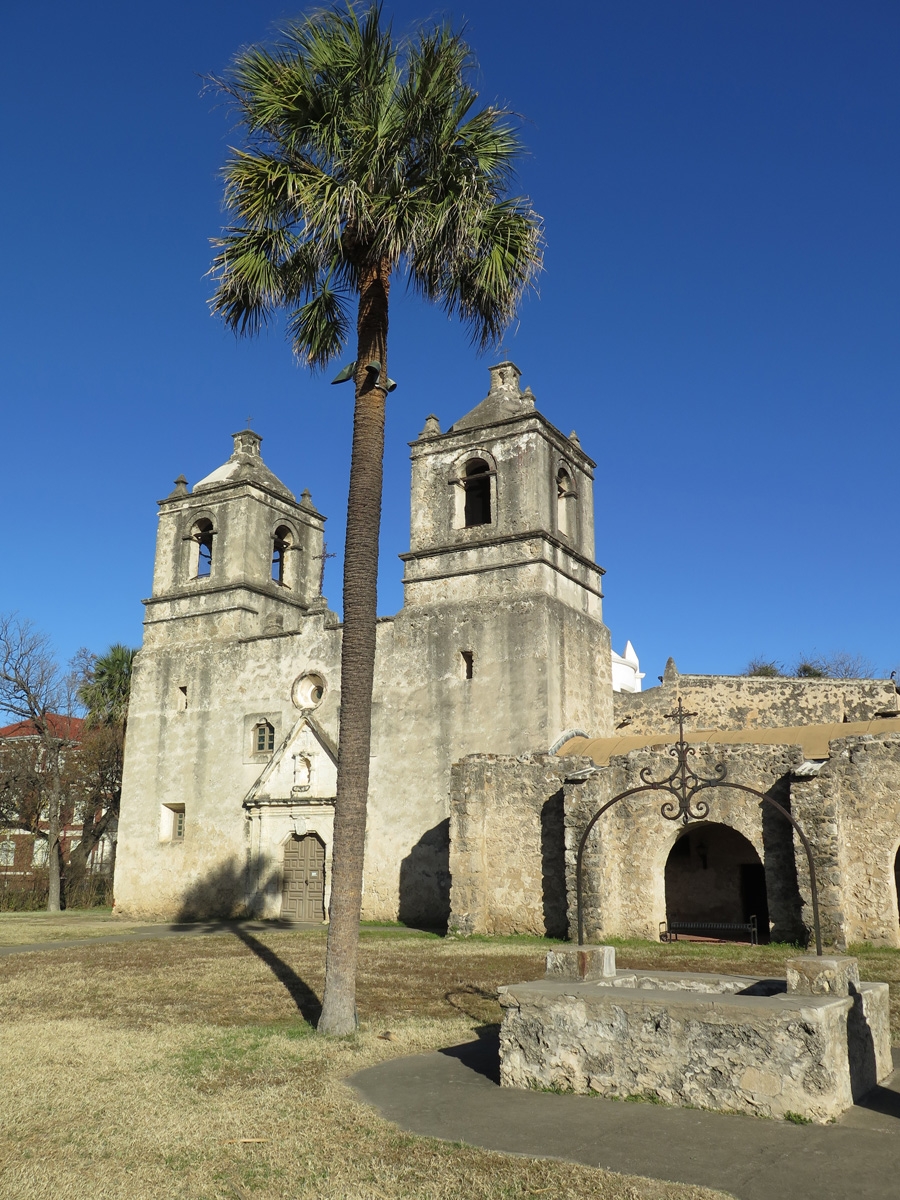
As explained in three previous posts, while we were in San Antonio, we visited the San Antonio Missions National Historical Park. The sprawling park includes four missions. Mission Concepcíon was the fourth, and final, site we visited.
If you’d like to learn more, follow the link provided above.