I’ve never really liked the way I look in pictures. I guess my image of myself is just different than reality. But that’s okay.
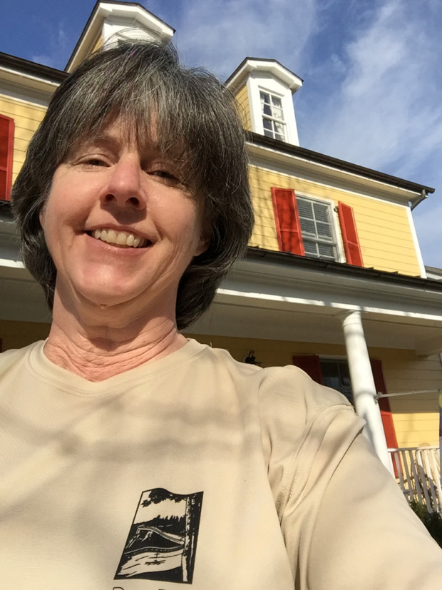
I do take a lot of selfies, relative to some people, but they’re usually sort of wacky and fun (I think) and rarely show my whole face. Thursday, I did one for the Challenge.

I hate it. It’s silly, really. I know this. I mean, that’s me.
I AM getting older. I do have wrinkles. I am carrying around more body weight than I should be. I don’t wear make-up. I’m a casual dresser. But my body and its accouterments are just a vessel. If I looked like a lovely princess, I’d have to act like one. And I’d be willing to bet I enjoy life more than a stuffy ole princess. I even have my own Prince Charming.
Speaking of which, or whom…
We’ve had a bit of nice weather recently. Nice enough, in fact, that my PC and I went for a motorcycle ride on Thursday. Woot!!!
It was awesome. We rode out to Flint Hill to the Griffin Tavern and ate dinner on the patio. In March.
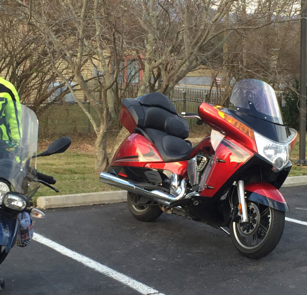
Afterward, knowing I hated the selfie I captured earlier, I asked the prince to take a picture of me for this post. Here’s what he captured.

Does that mean my handsome prince loves his motorcycle more than me?
Nope. It means he’s a smart-ass. I love him anyway.
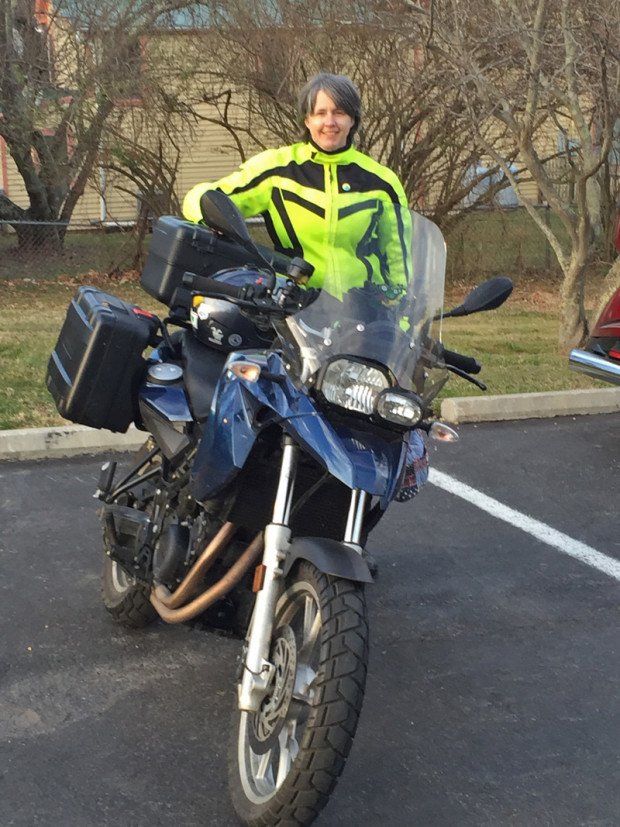
Then he captured this lovely image.

My hair is really getting long. Soon, I’ll try an experiment. If it fails, I’ll just revert back to short, sassy, and very low-maintenance.
If it’s a success, I think there may be more selfies to come.
Happy Saturday, everyone!
