Missing the Point

IMG_0028
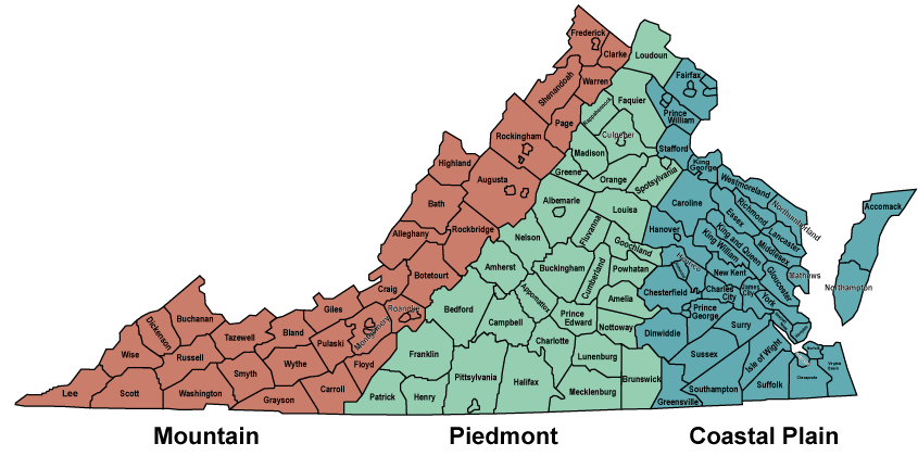
My Hubby turned 60 on October 4. Sixty! We don’t usually make a huge deal over birthdays, but I thought hitting 60 was a milestone that deserved a celebration. And what better way to make merry than spending a long, three-day weekend riding our bikes through the mountains of Virginia and neighboring states?

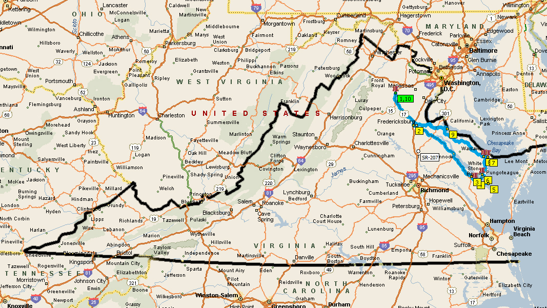
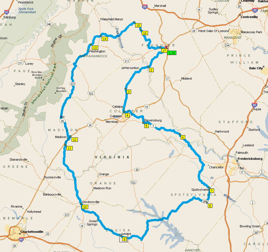
I worked long and hard planning a ride. It’s not as easy a you might think. Why? Because it’s not about the destination, it’s about the roads. The roads are what make the trip fun. Really.

I still get a chuckle at the look of confusion on people’s faces after I tell them I don’t really have a destination in mind for a three-day excursion into the mountains. I mean, I had planned overnight spots, but they were just convenient resting places.

After a couple weeks of sporadic research and planning, I settled on a route. Then the East Coast region was hit by a crazy combination of storms — a nor’easter AND tropical storm/hurricane — which made us cancel our plans.

A lot can change in two weeks. Fall has arrived. Each day we have fewer hours of sunlight. AND temps have been dropping. So, once we settled on make-up dates, I had to re-work the route. Remember, celebrating Hubby’s birthday was the point of this trip, so I couldn’t plan many stops to see goofy stuff, which I enjoy but he doesn’t.

He knows I like roadside oddities, but he also knows that I know he thinks that’s all sorta silly. Still. He knows if I see some roadside awesomeness, I’m gonna stop. Which is why we both had a good chuckle over breakfast on Saturday.

There was a Bojangles’ in Wytheville, which I love, so it was my job to get us there from the hotel. After checking in on Yelp, which also posts to Facebook, my friend, Rachael (aka Fuzzy), commented, “Home of the big pencil!” Fuzzy likes roadside oddities even more than I do.

Her comment made me laugh out loud. Of course, Hubby wondered why I was laughing, so I had to explain Rachael’s comment.

“She said that about your Bojangles’ check-in?” Hubby asked, with a look of confusion.

“Yes, because it said Bojangles’ in Wytheville. And she knows Wytheville’s the home of the big pencil. I’m not sure where it is though,” I told him.

“What? I saw it. You didn’t see it?” he asked. “I thought for sure that’s why you were turning when you turned.”

“Wait… you saw the big pencil and didn’t say anything?!?” I asked.

“I thought you saw it,” he insisted, sheepishly, because he and I both knew he was really hoping I hadn’t seen it, ’cause that would have meant stopping for a photo, which would have delayed breakfast. Plus, we were already a tad later than we would’ve liked.

He tried explaining the location, saying how I could just follow the GPS route backwards or plot a return trip to our hotel or some other scheme that would’ve required far too much thought at that early hour.

“I’ll just plug in the address. Finding it will take two seconds,” I told him. The look of confusion on his face was priceless.

How does one quickly find the address for a business with a very large pencil as a sign? With the RoadsideAmerica.com phone app of course (Fuzzy told me about that one years ago). All I had to do was enter “Wytheville, VA” to get a list of local oddities. The Big Pencil was at the top of the list.

For Fuzzy
For Fuzzy

Since he was probably feeling a teeny bit guilty for not having said, “Oh my God, did you see the big pencil?” as we’d passed, he didn’t complain about retracing our steps. And he was happy to take this pic for me.

Me and the Big Pencil of Wytheville

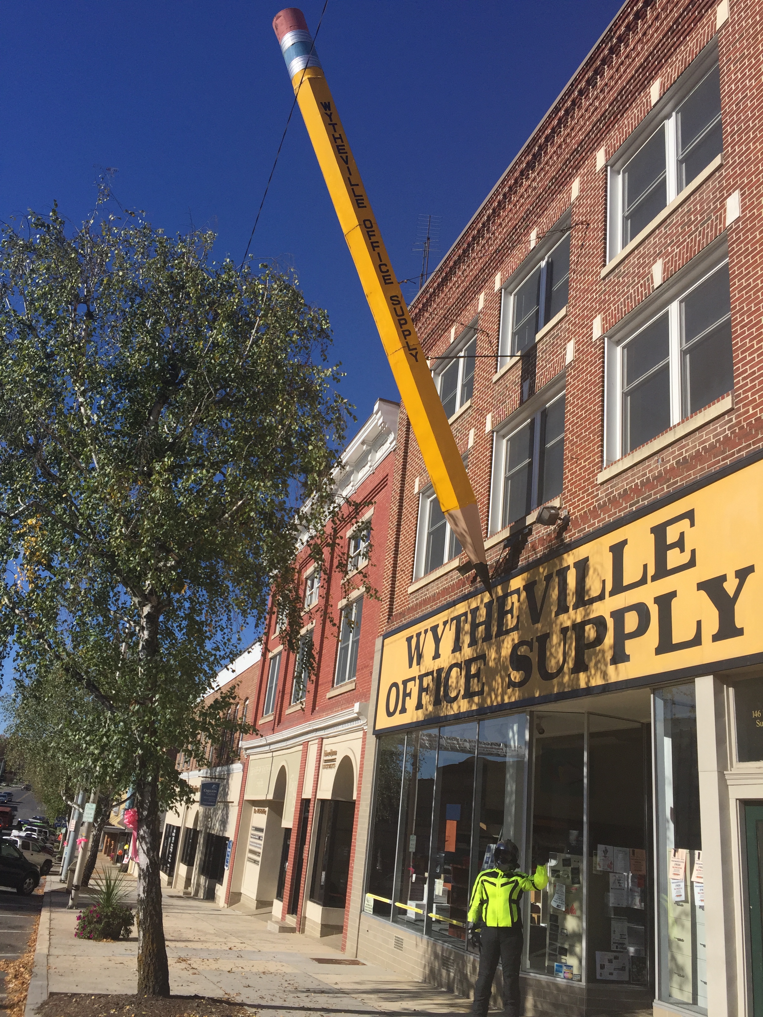
It really is a pretty impressive pencil. Thanks for that timely reminder, Fuzzy!

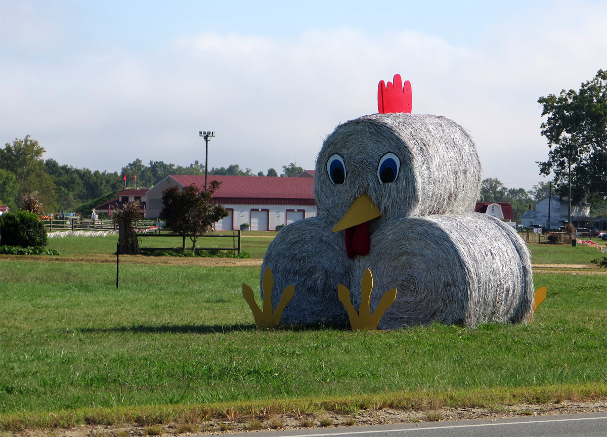
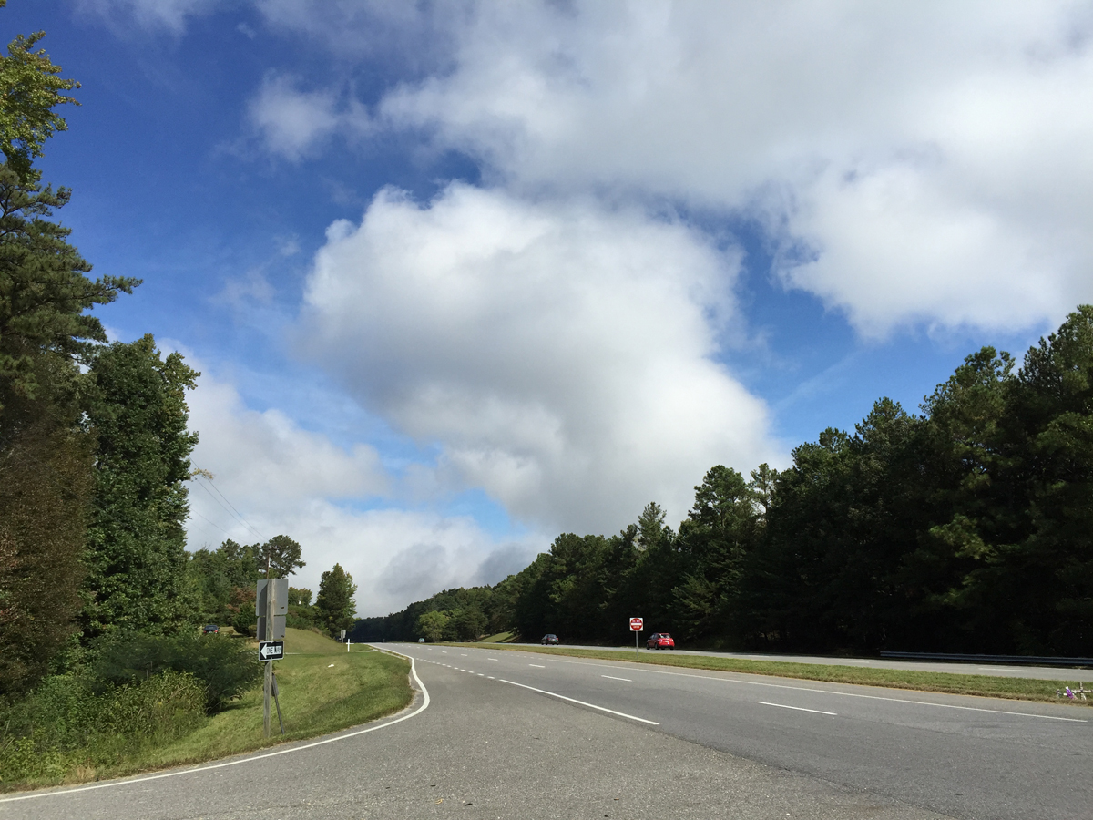
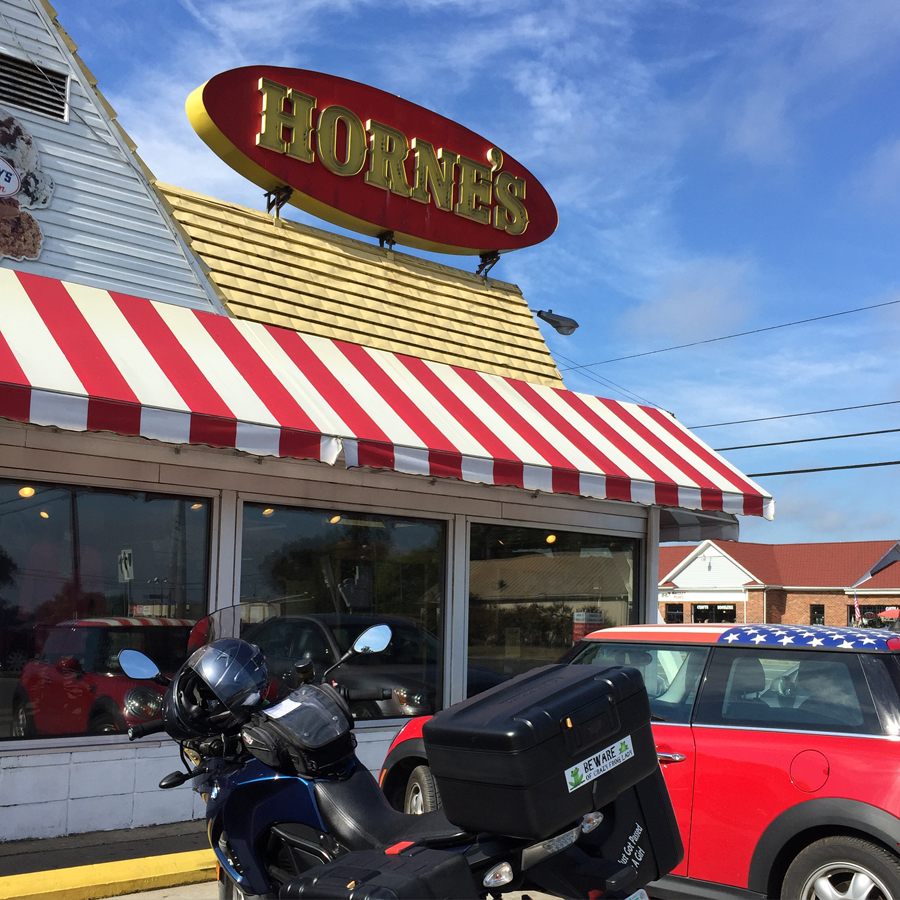
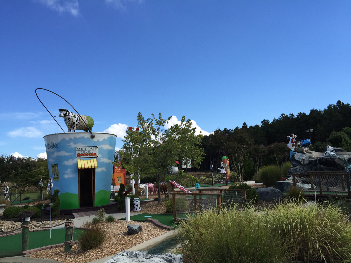
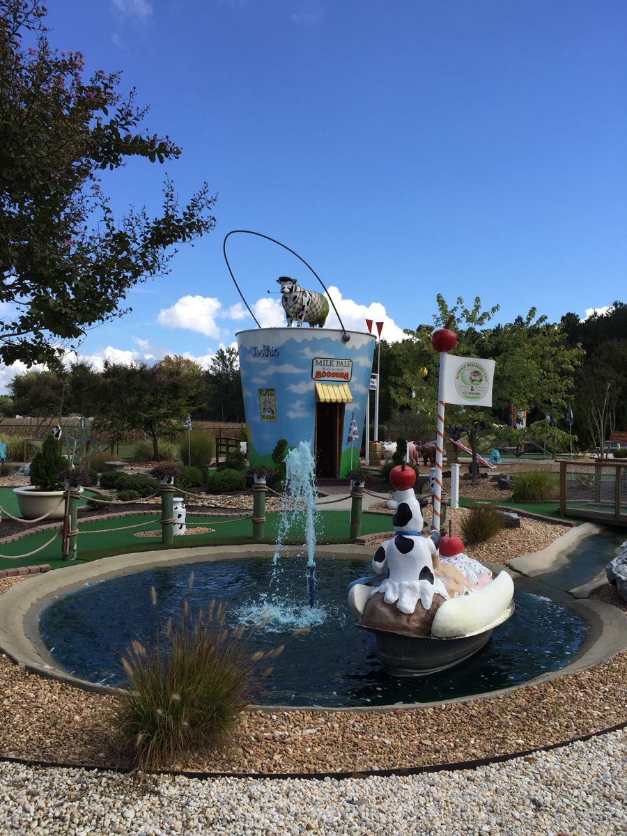
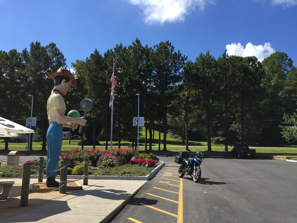
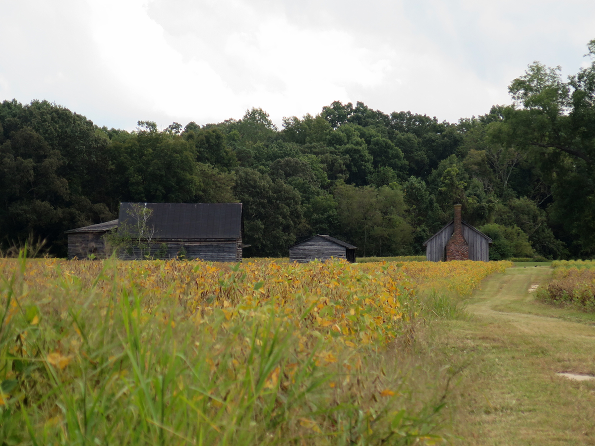
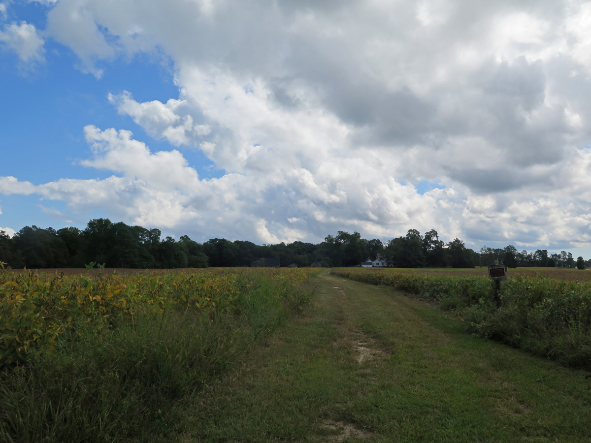
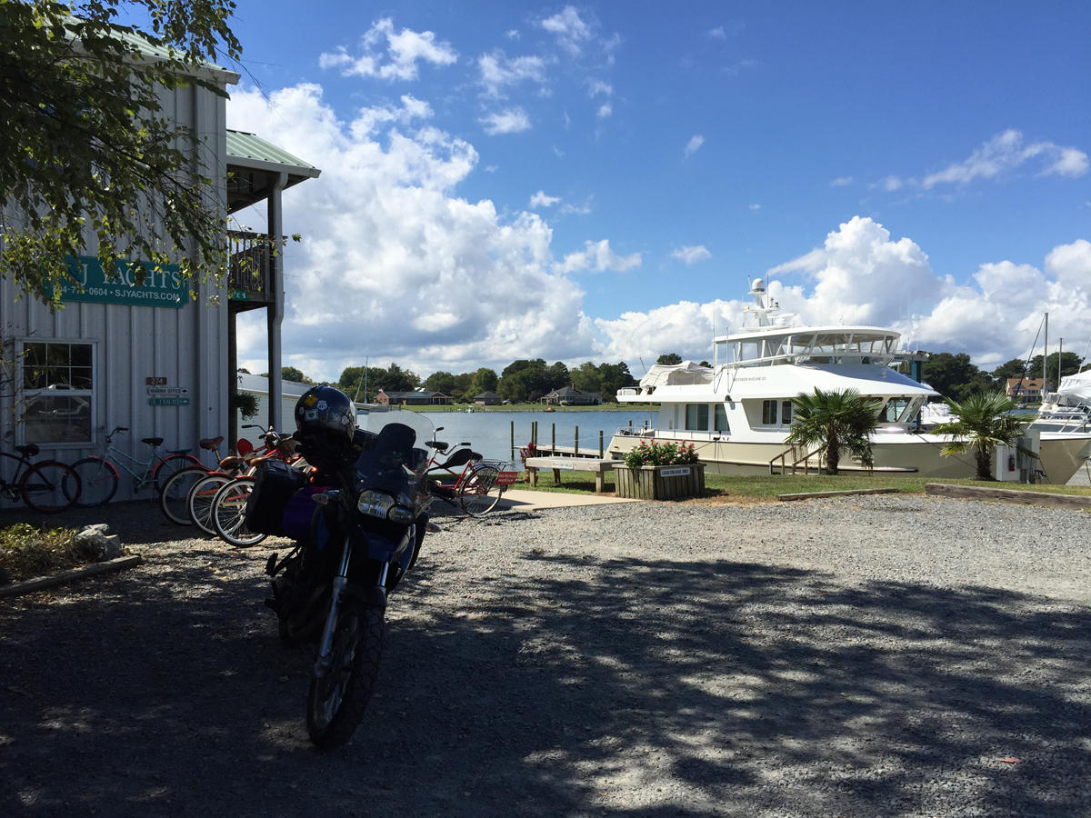
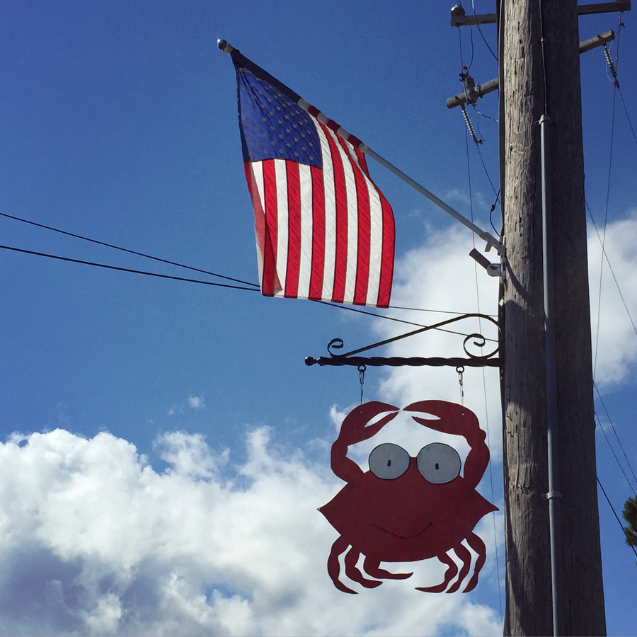
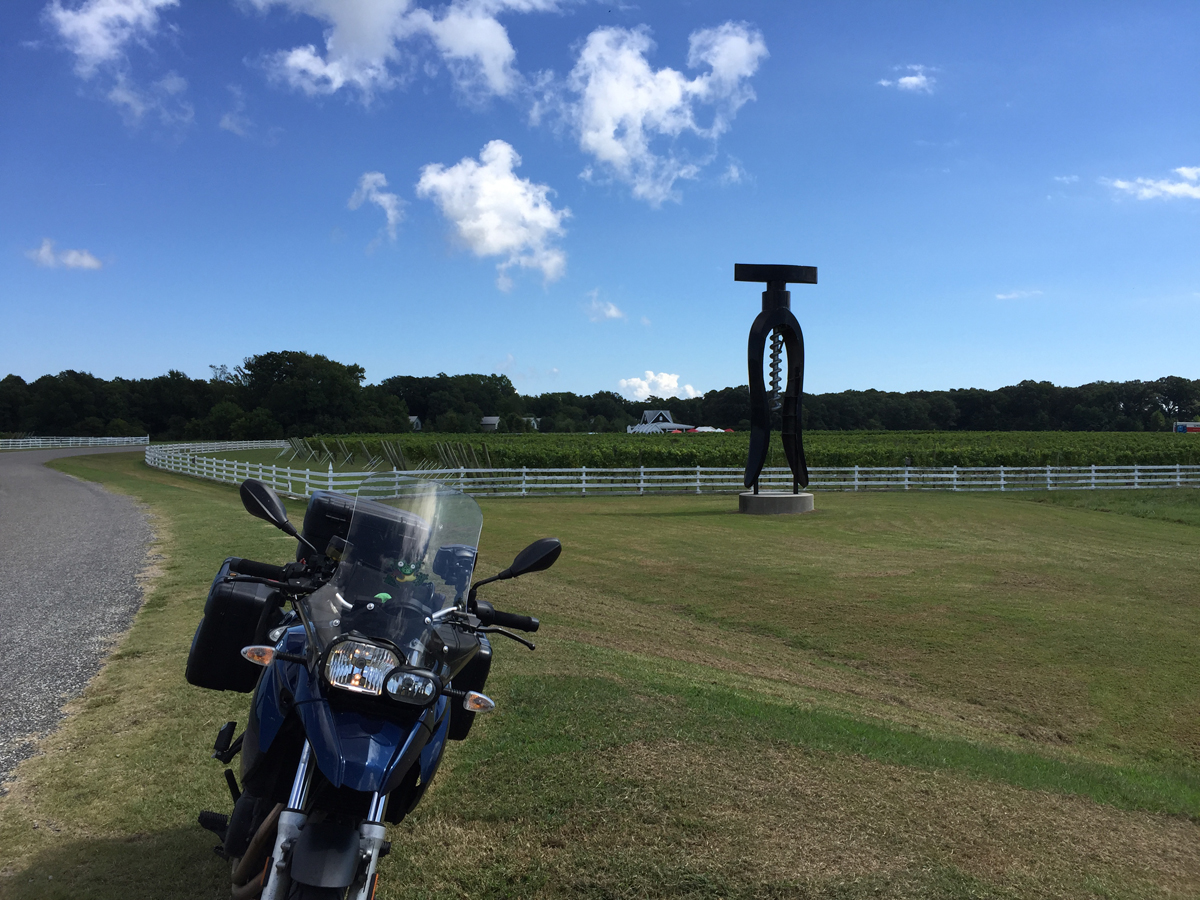
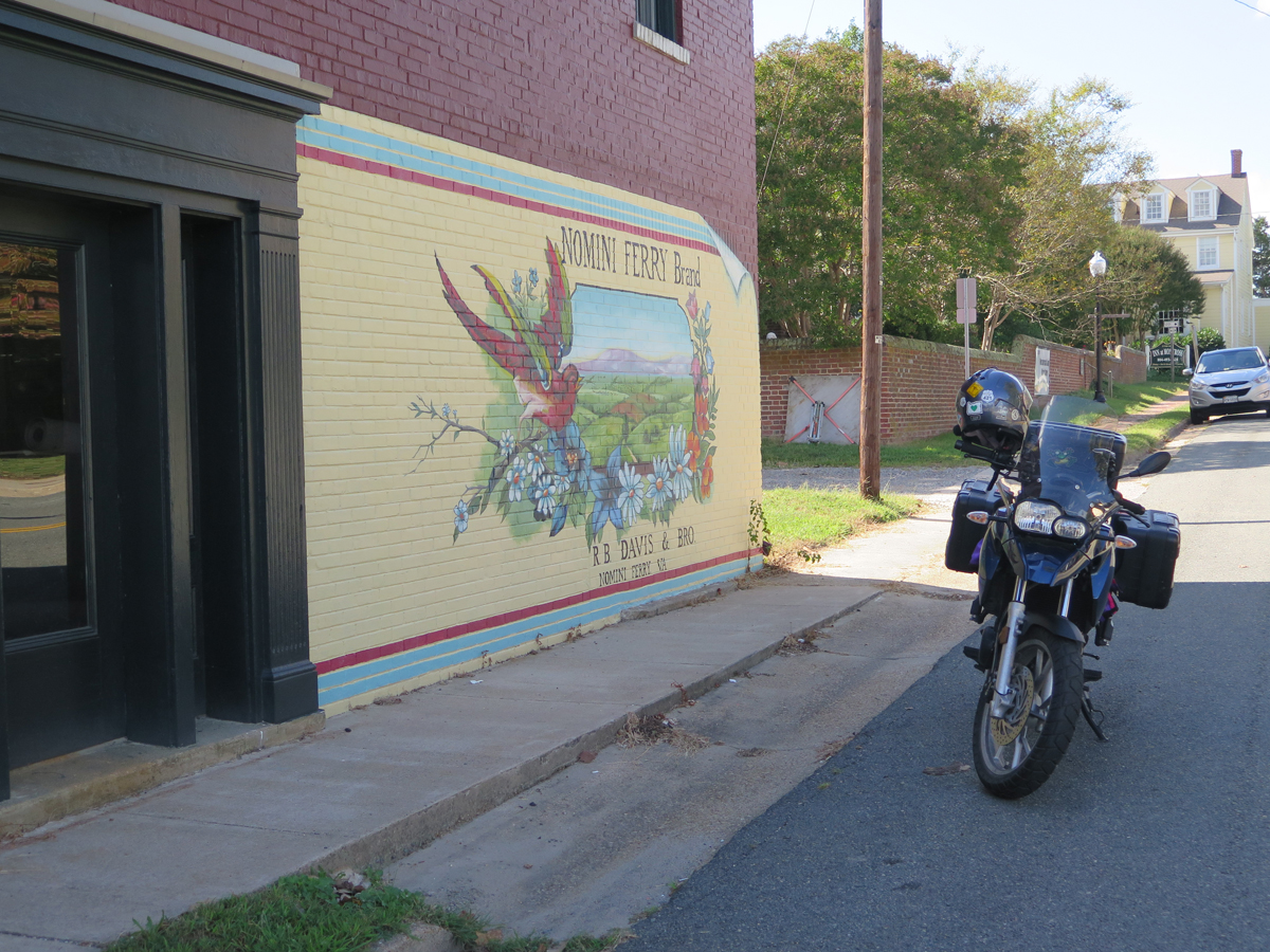
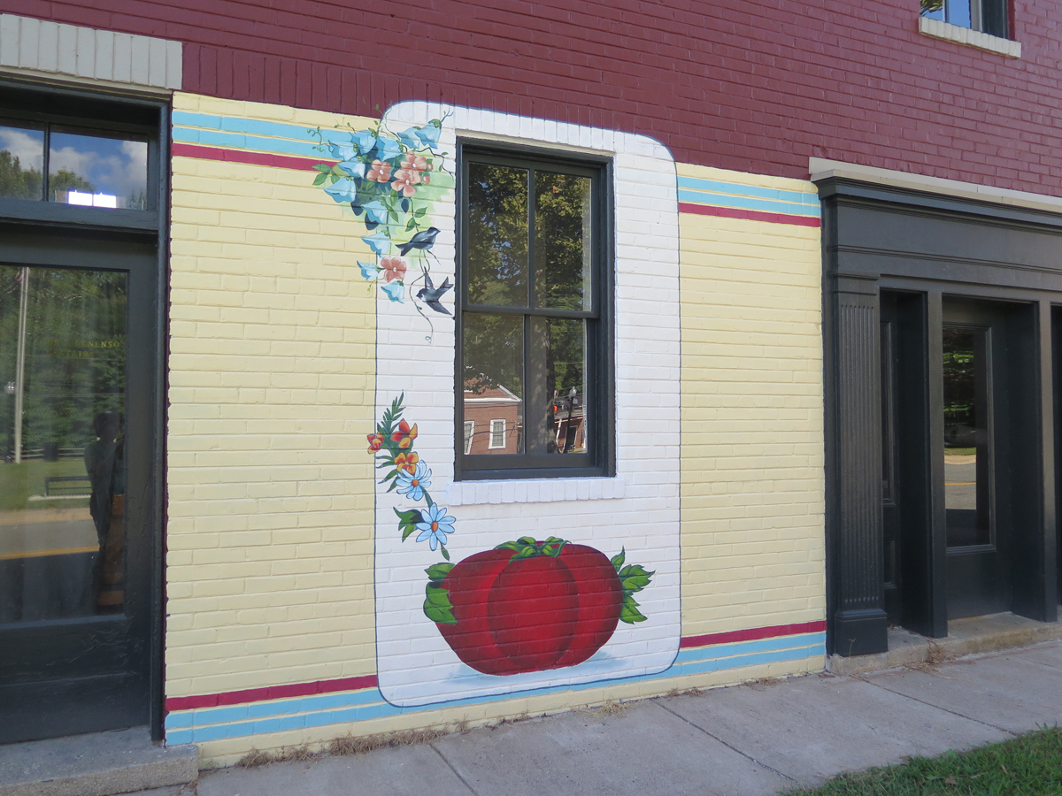
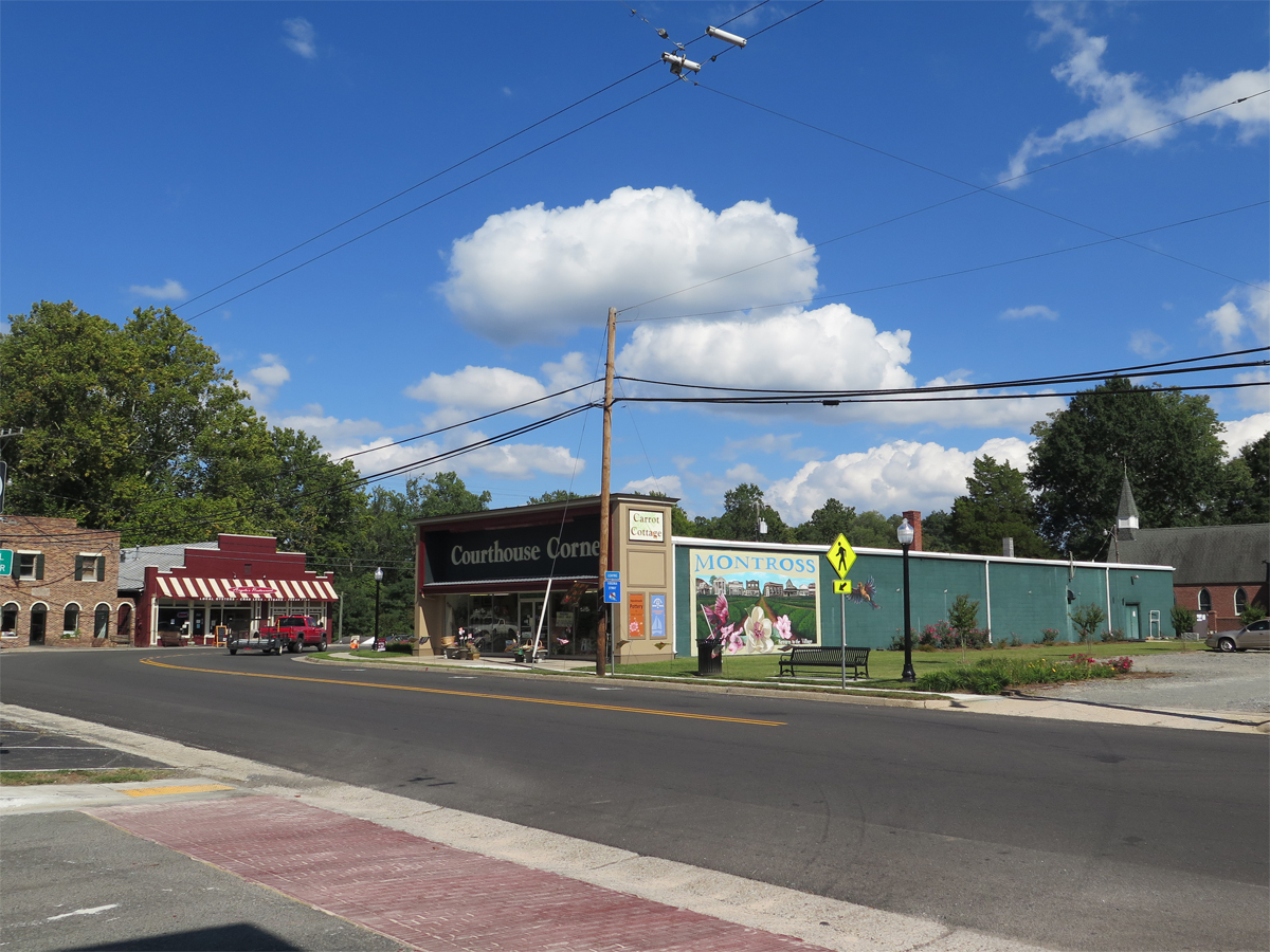
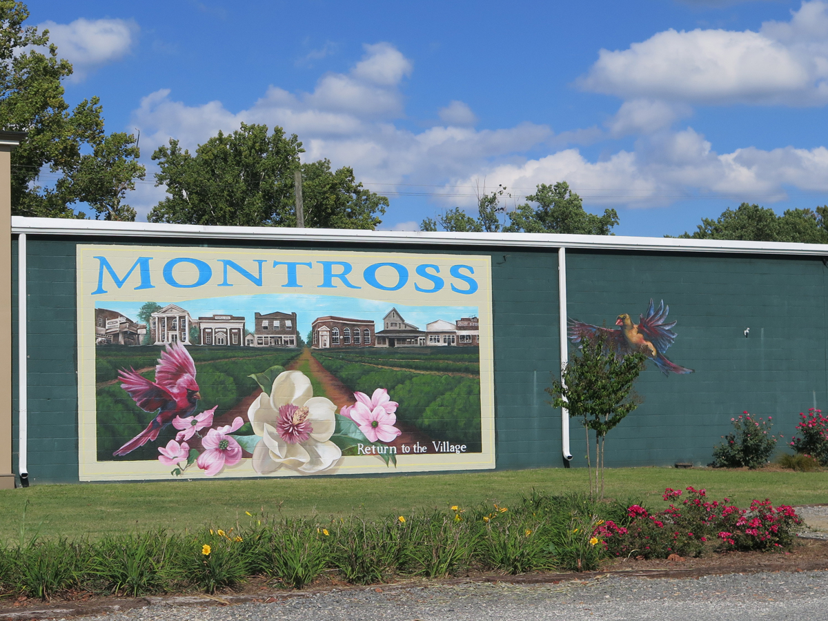
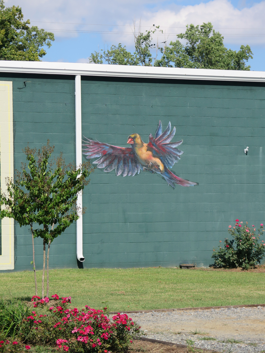
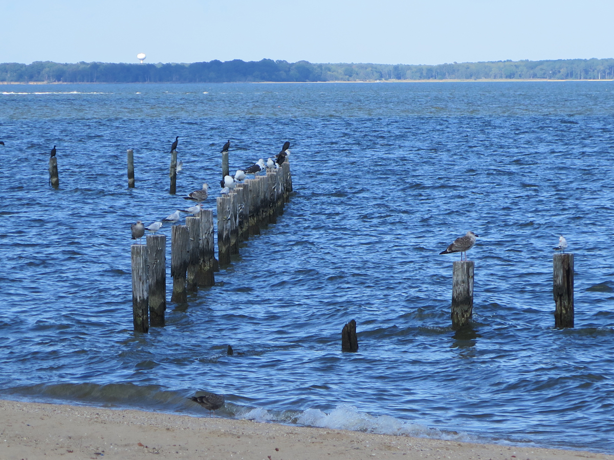
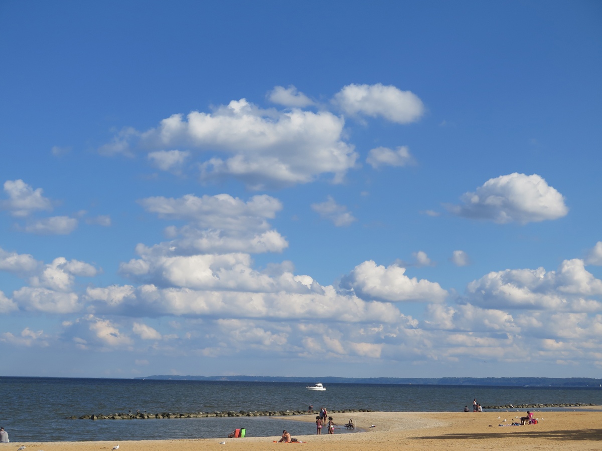
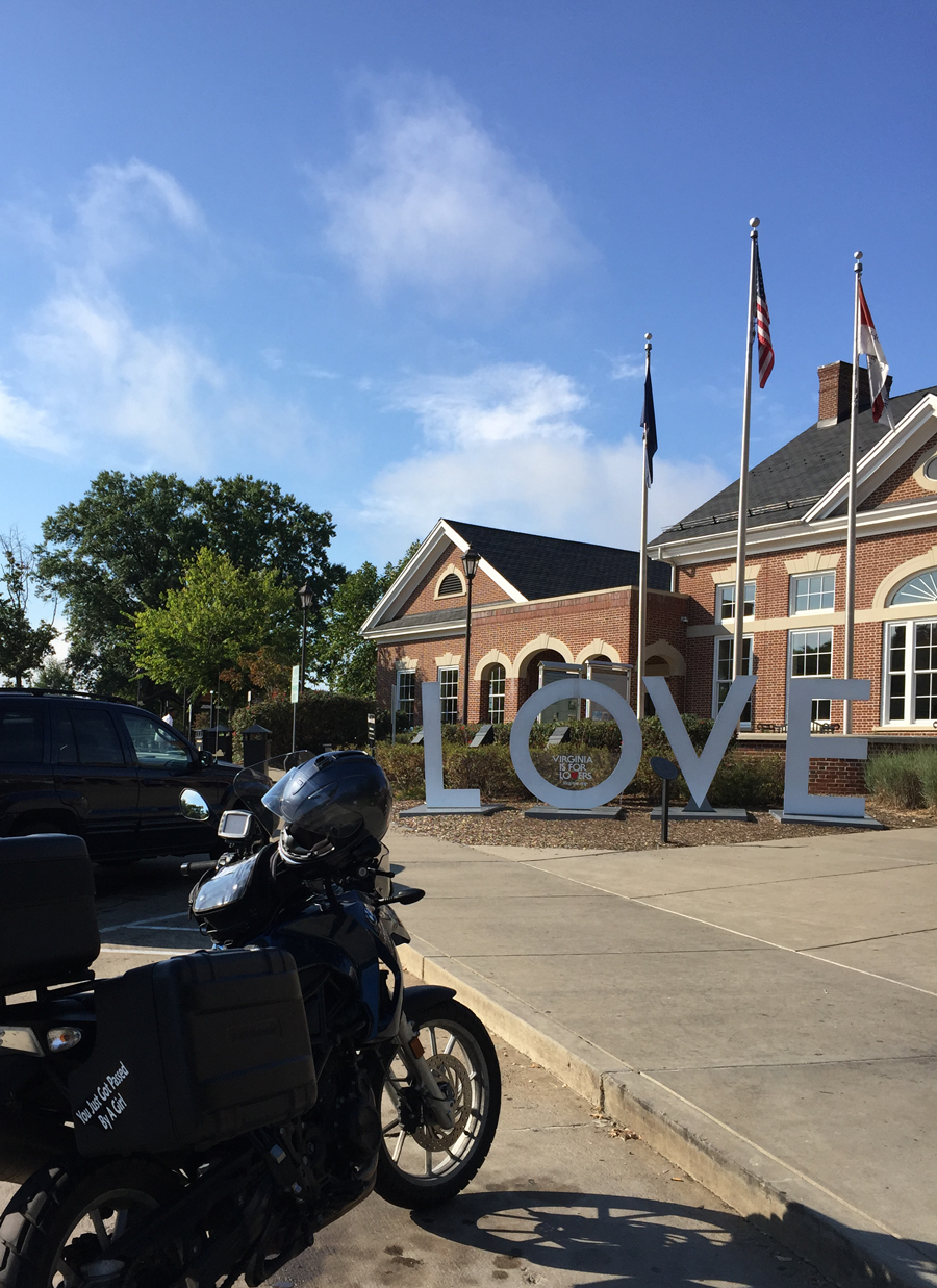
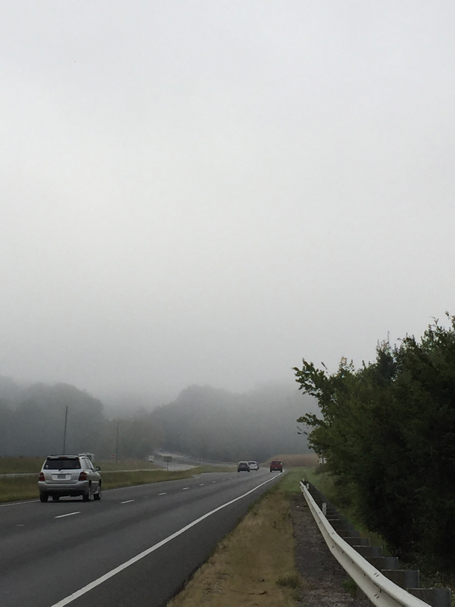
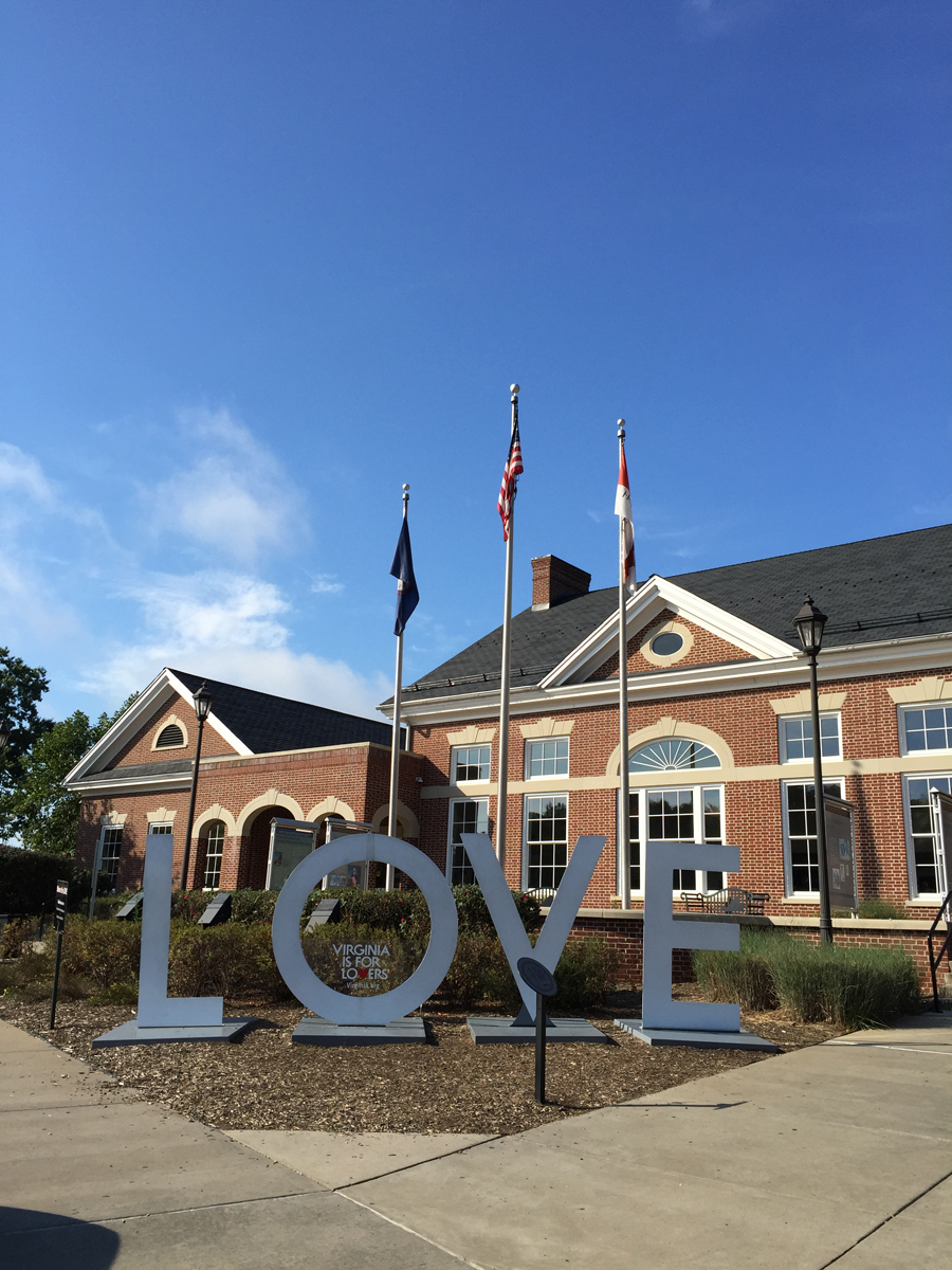
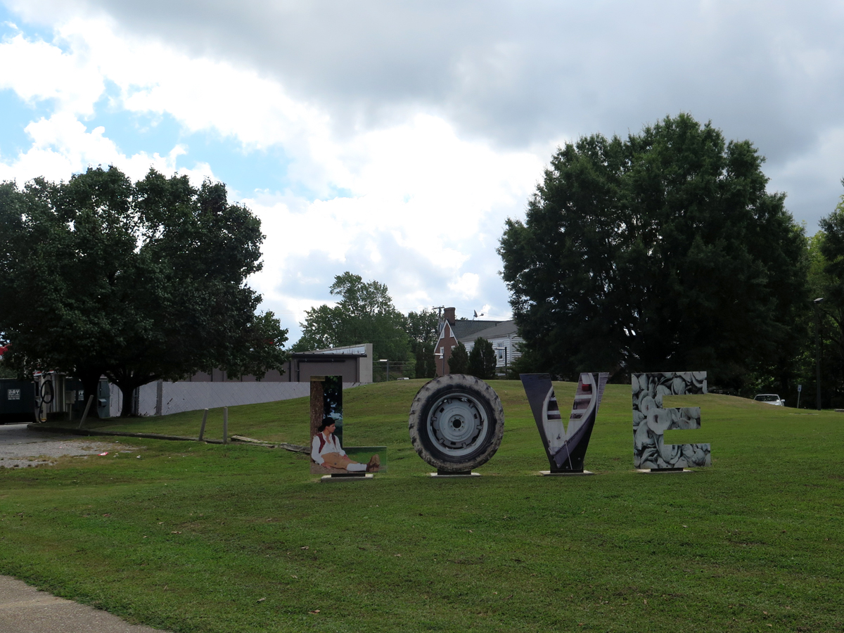
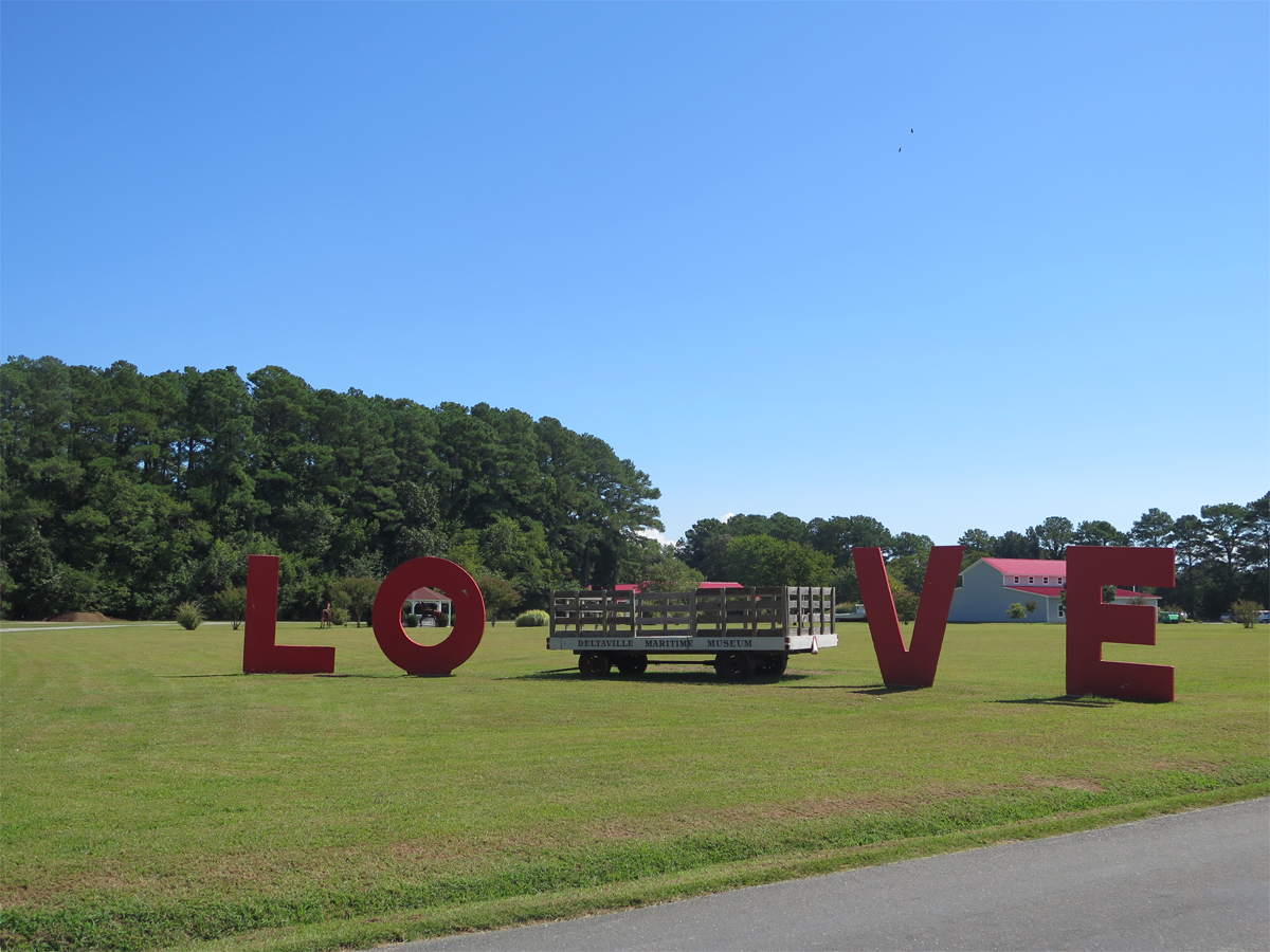
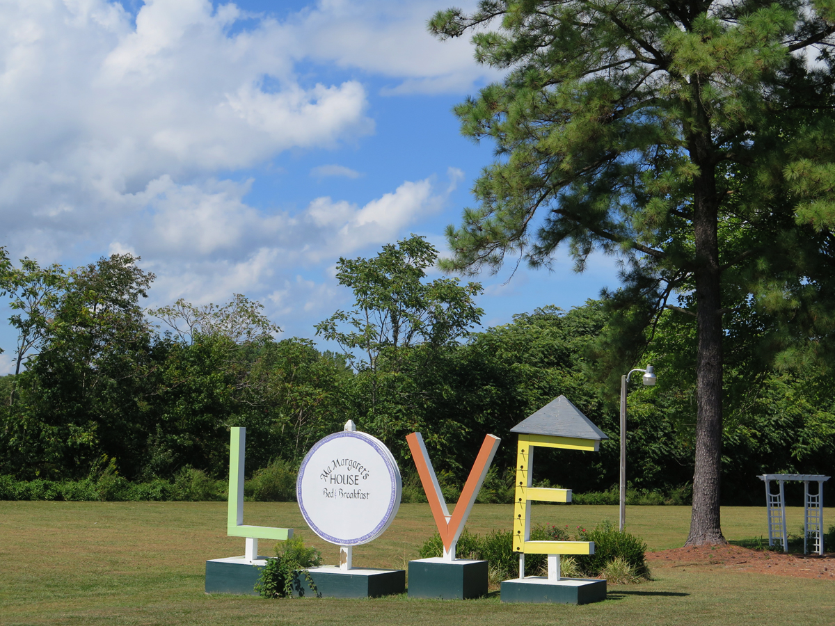
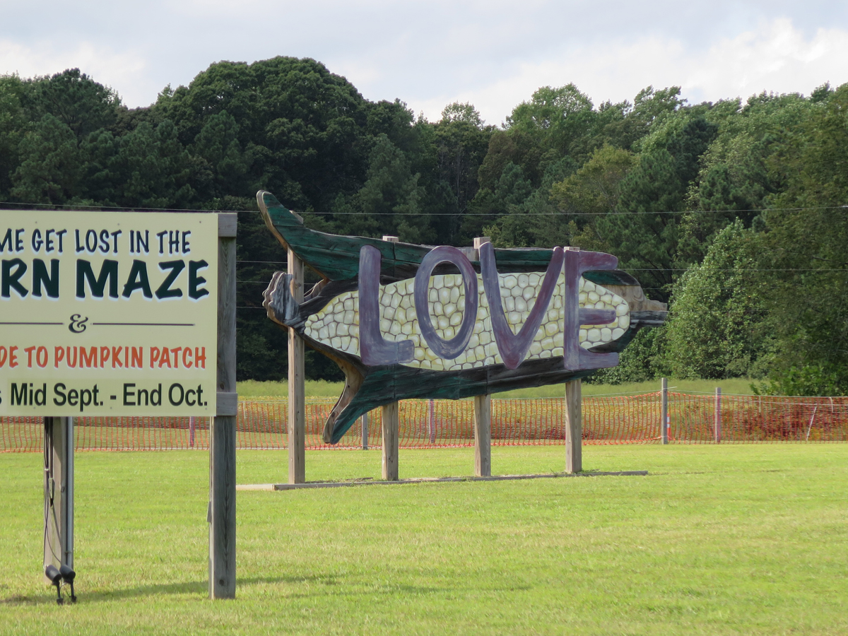
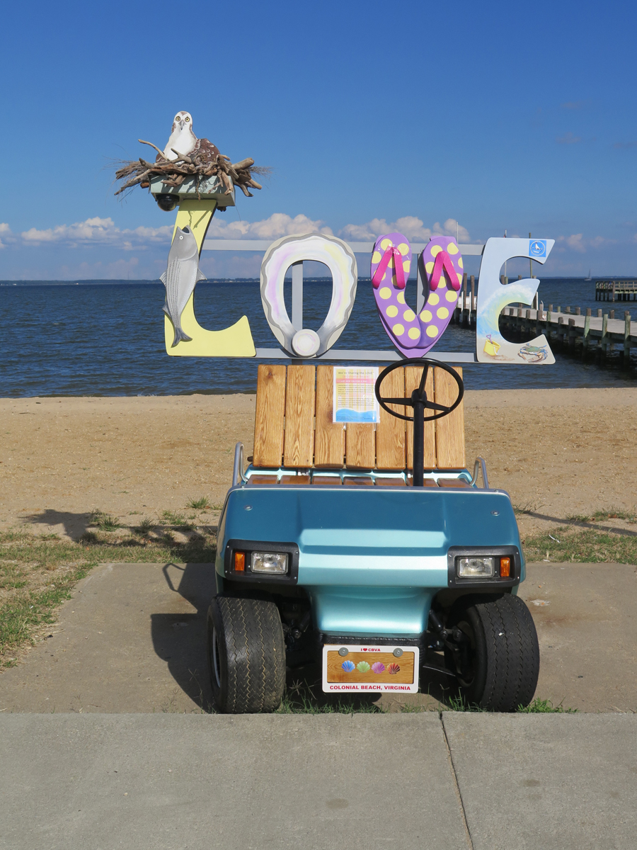
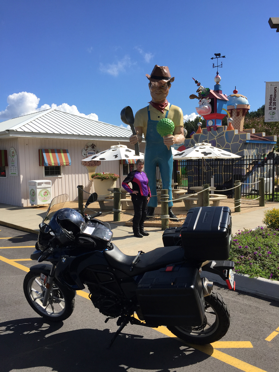
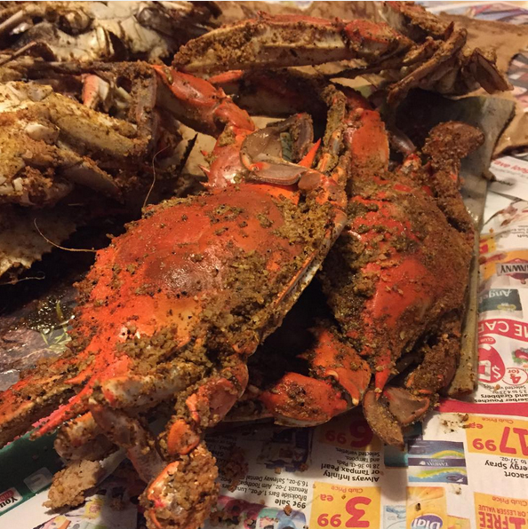
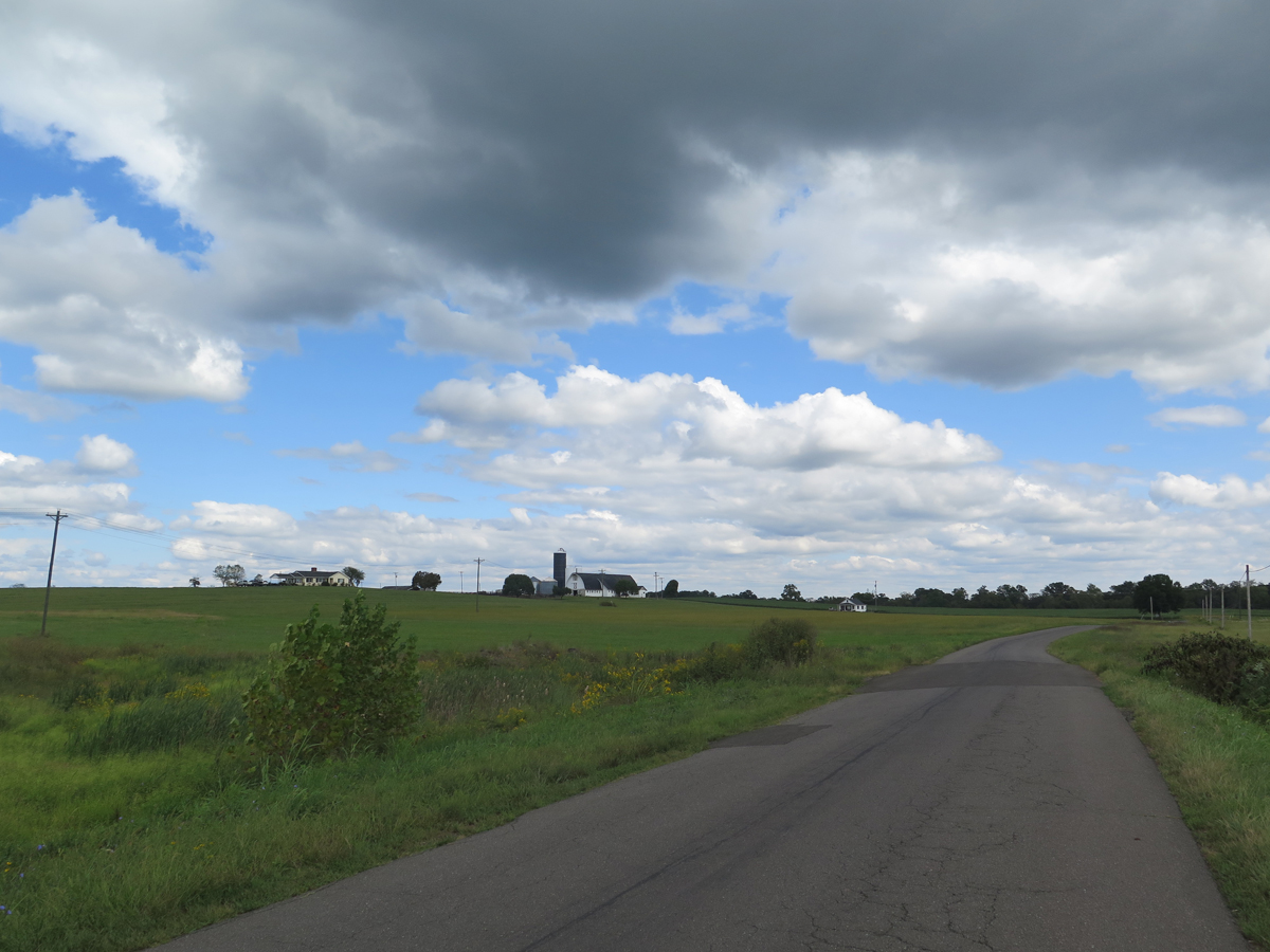
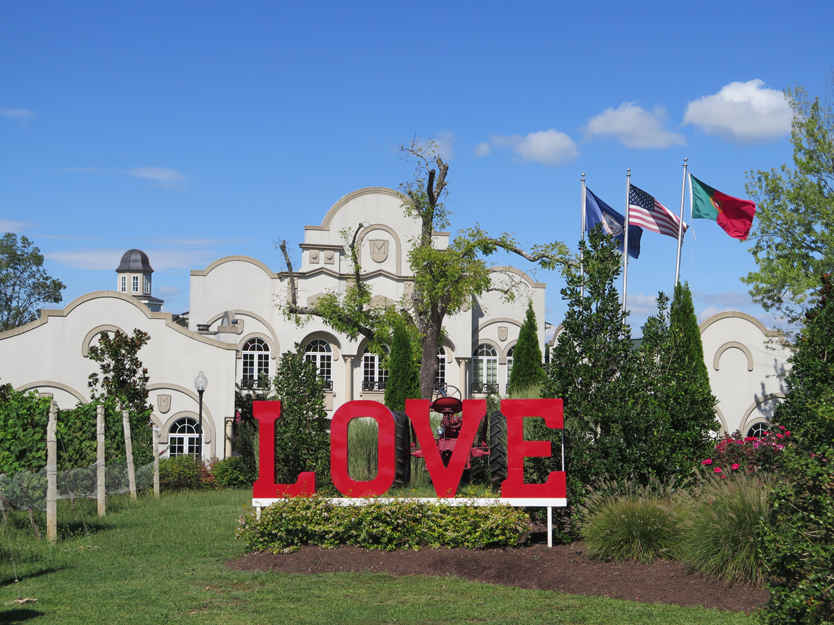
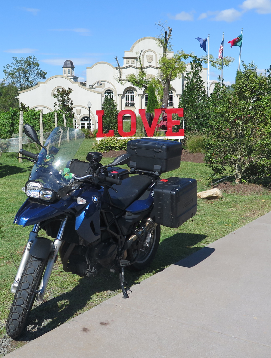
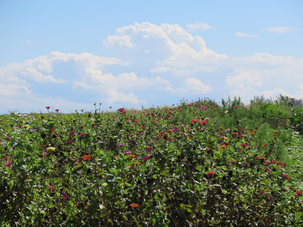
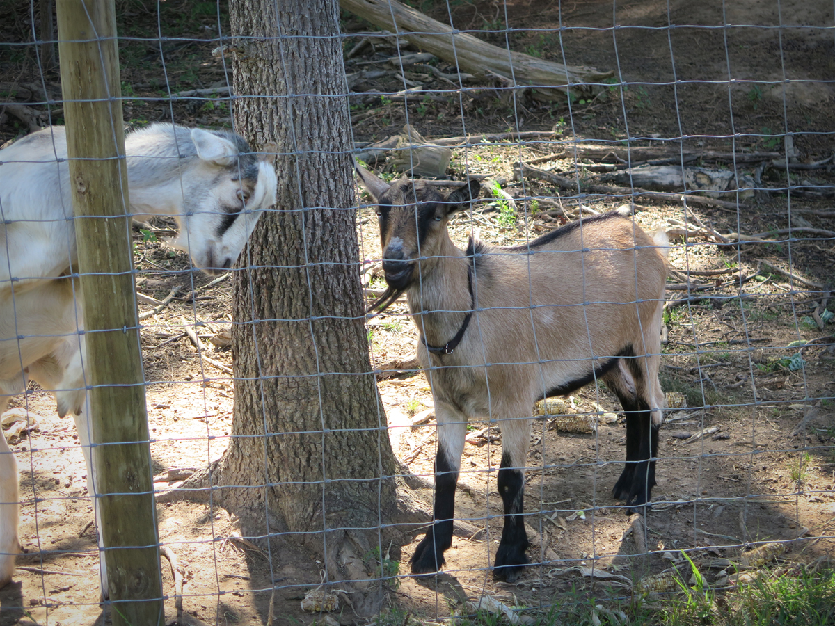
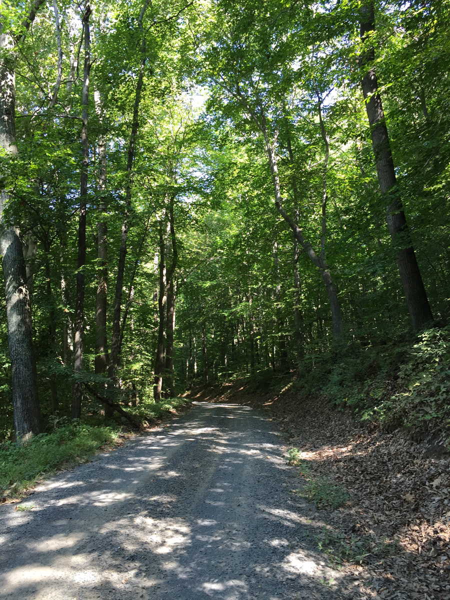
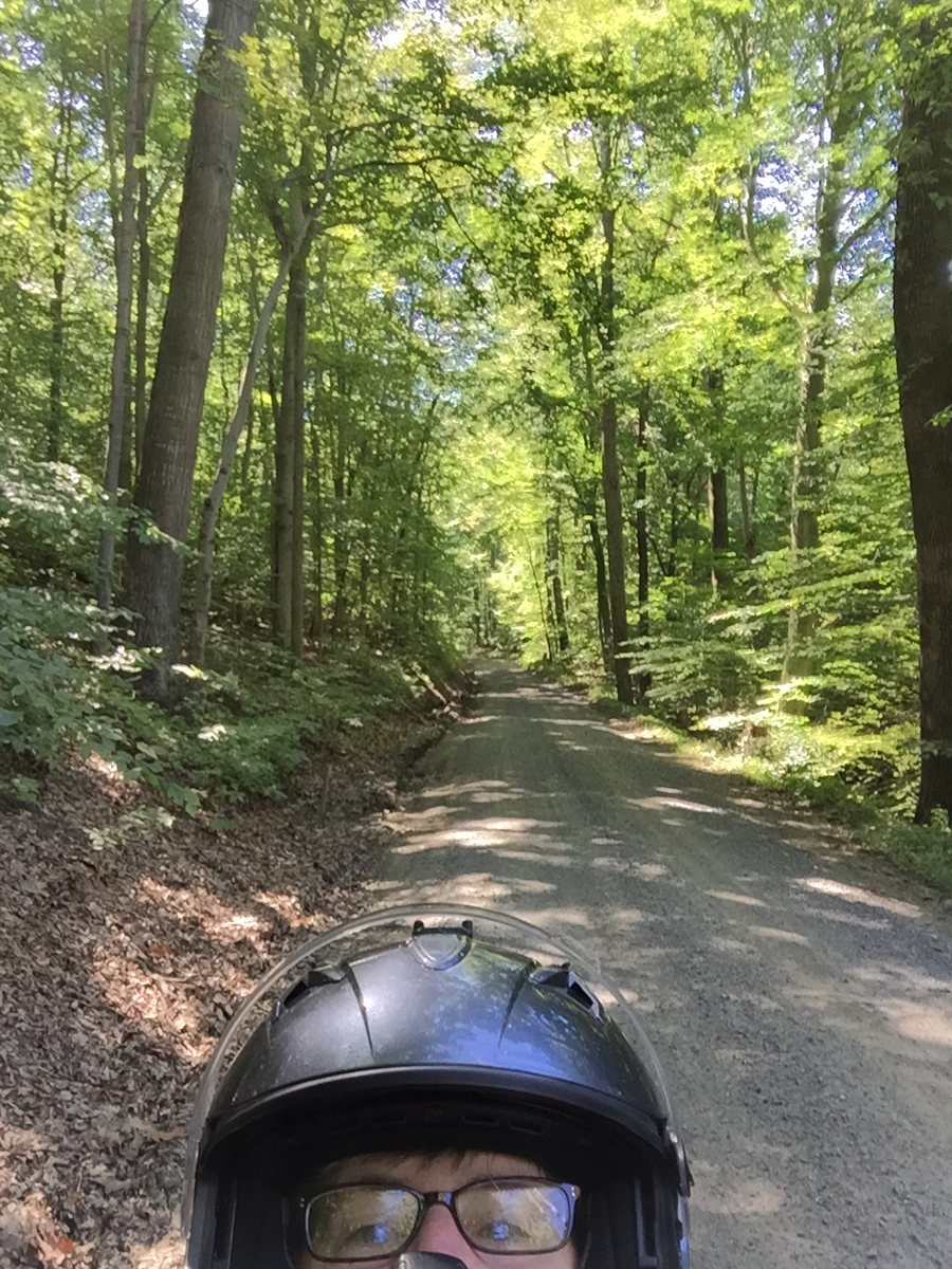
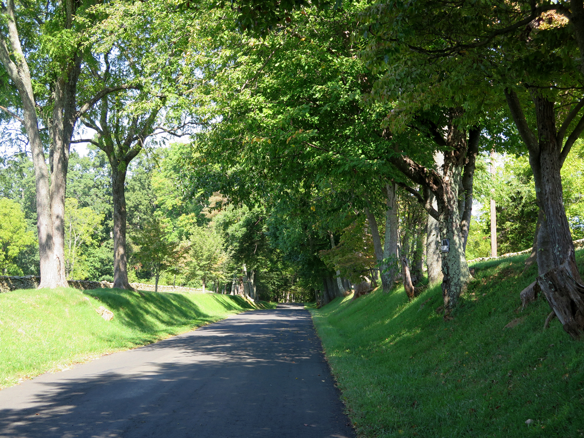
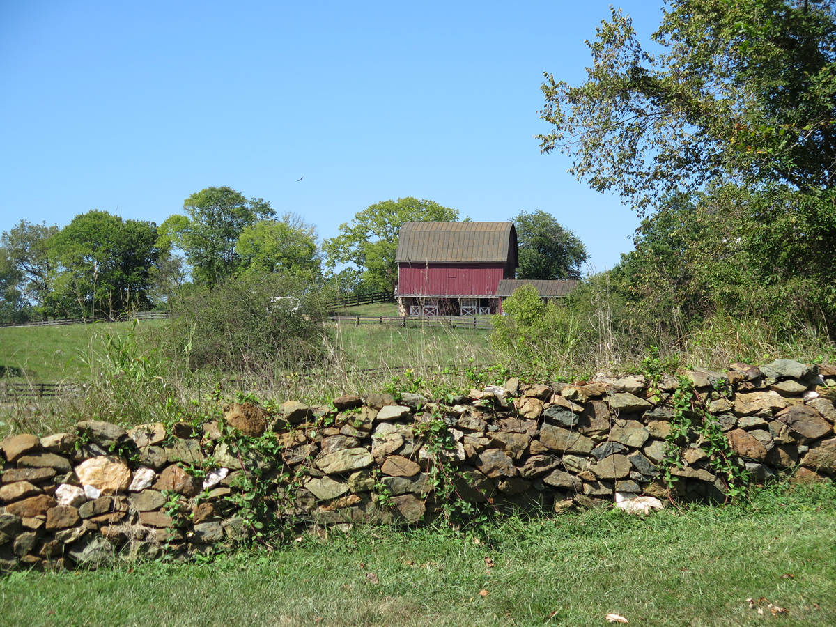
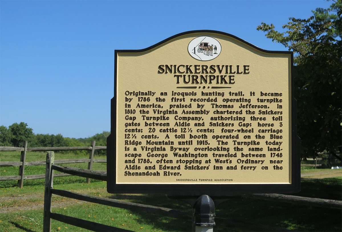
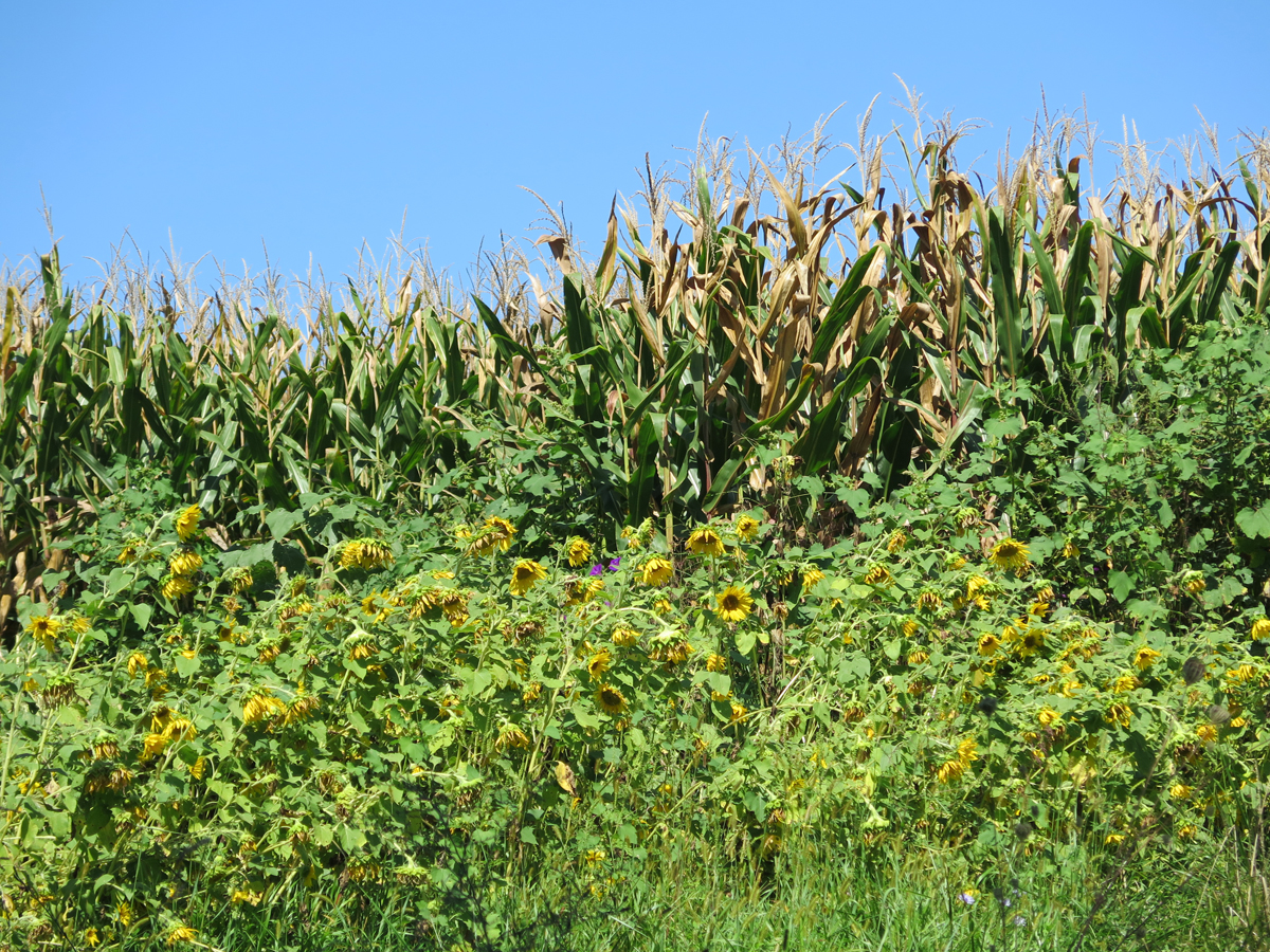
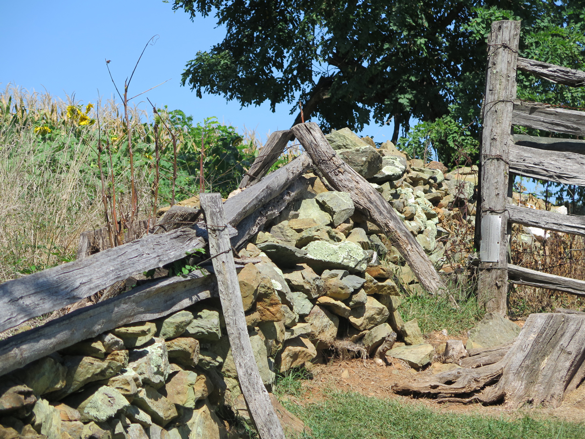
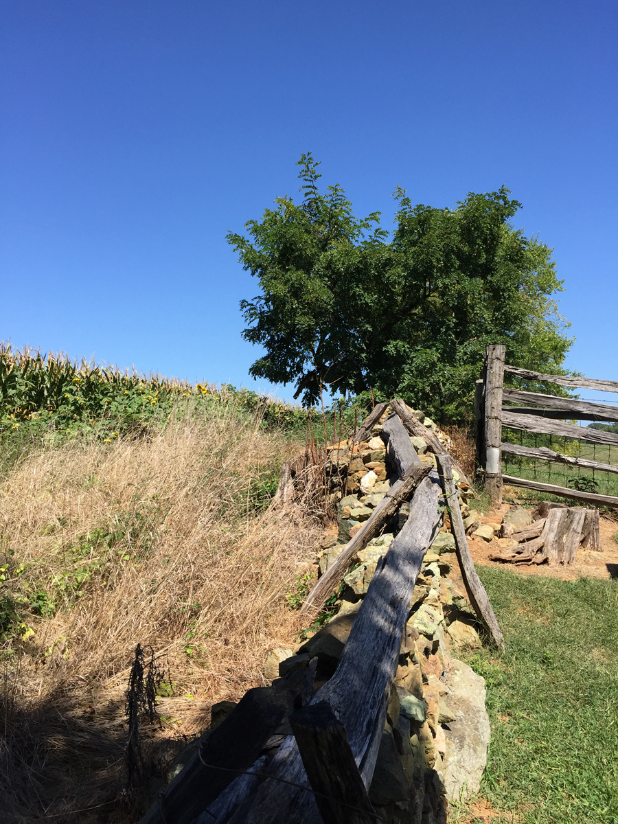
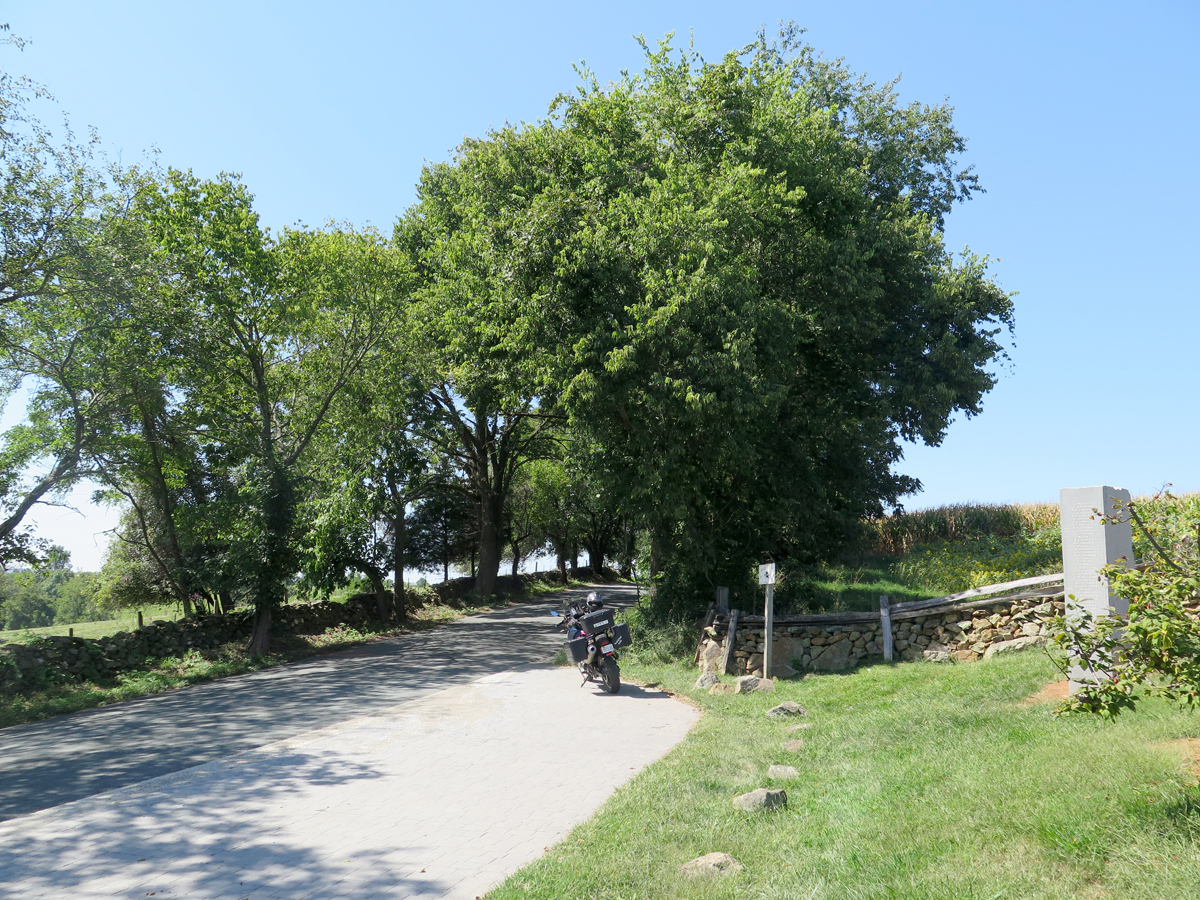
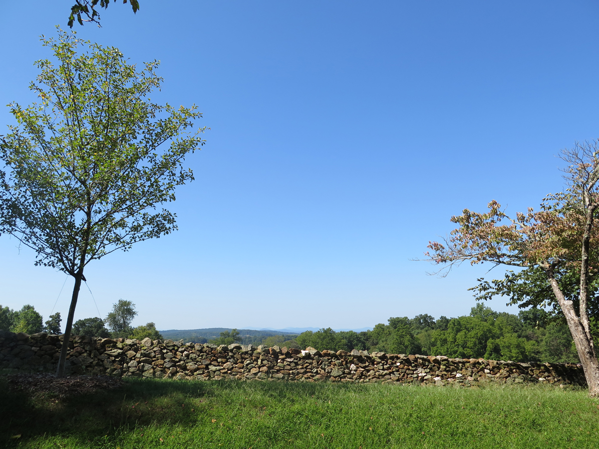
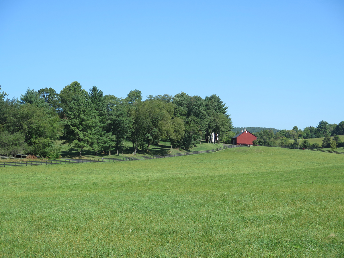
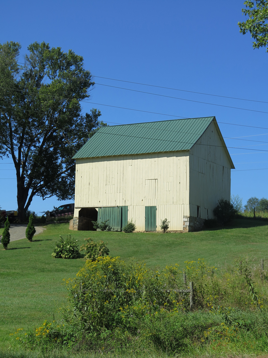
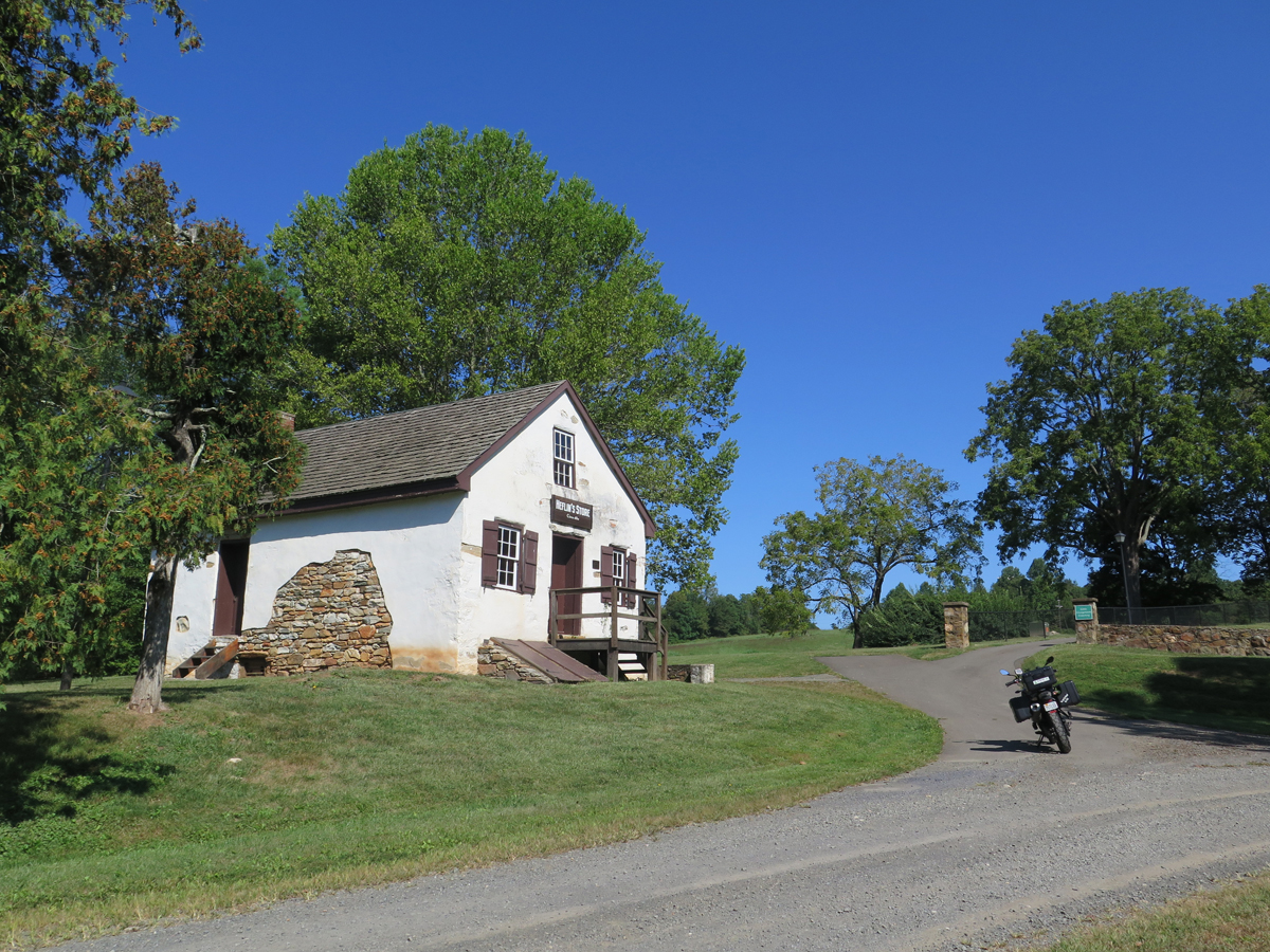
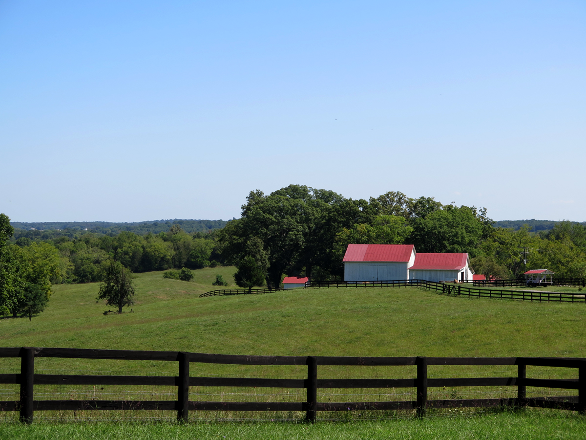
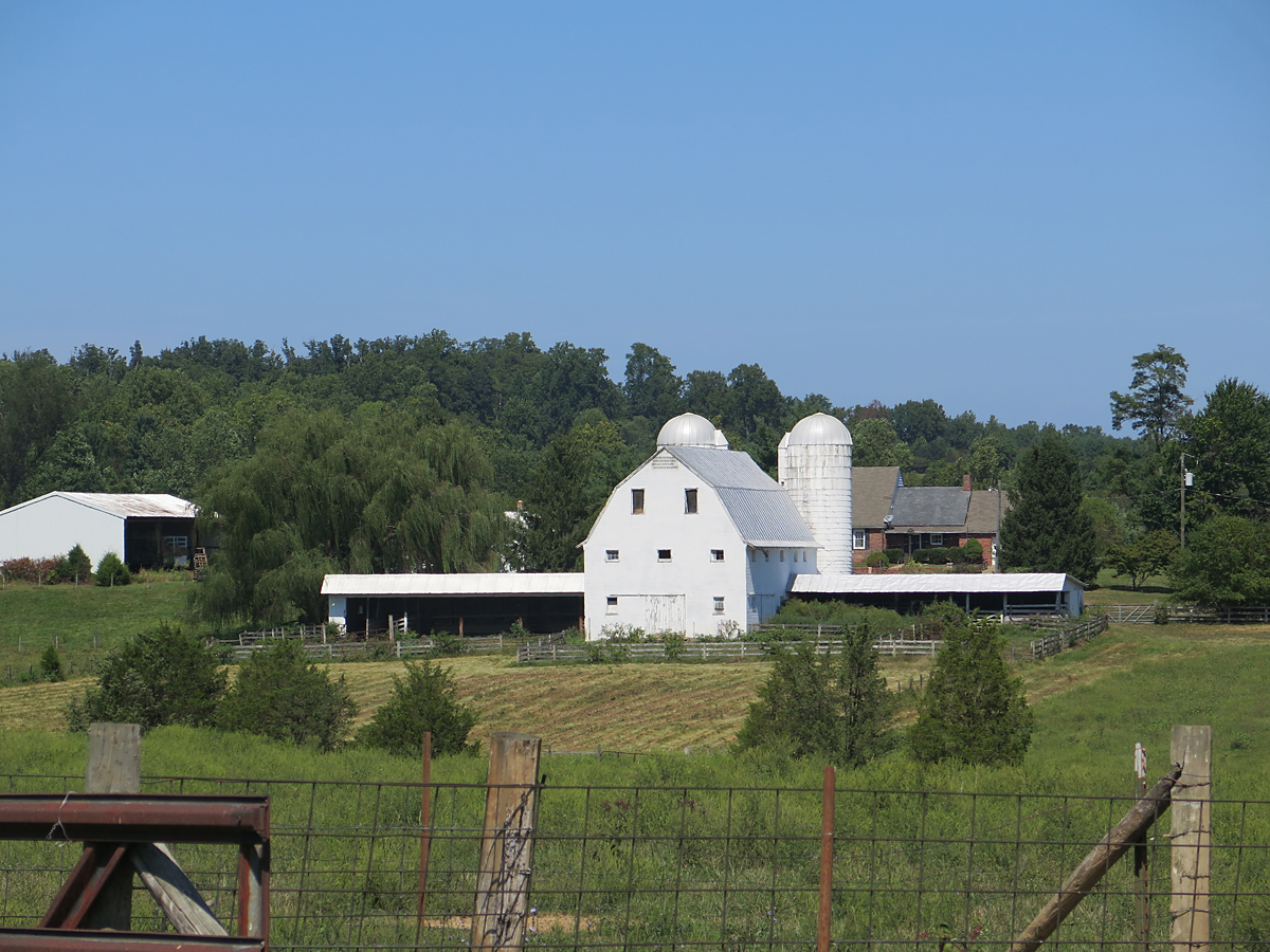
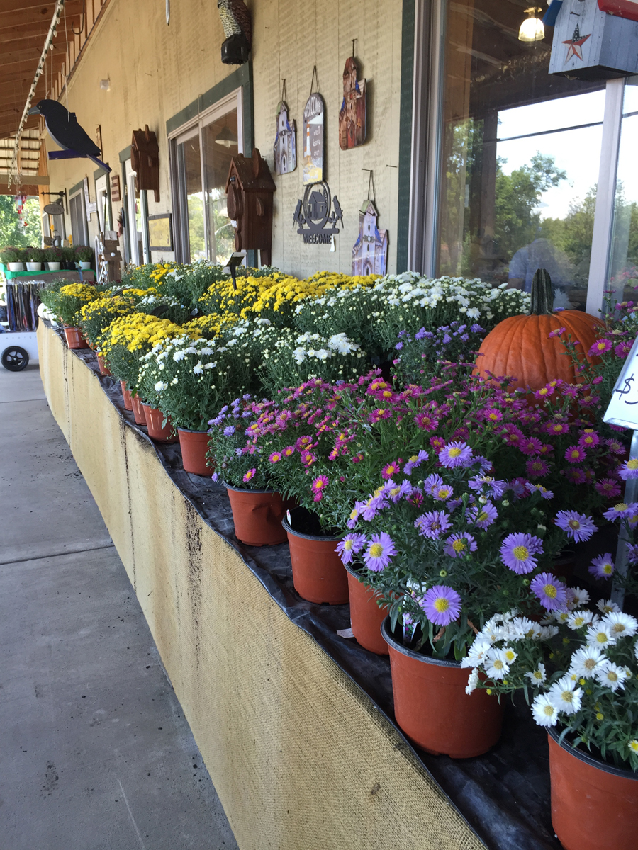
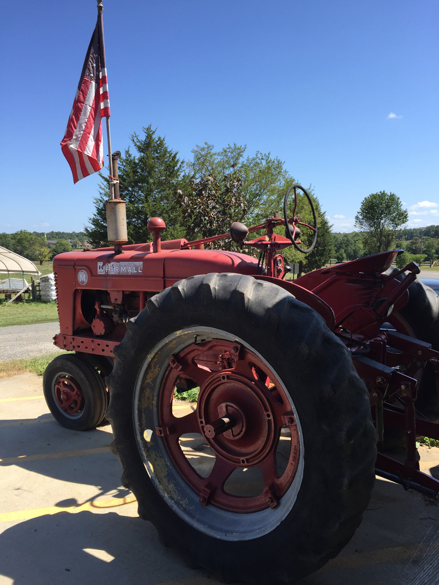
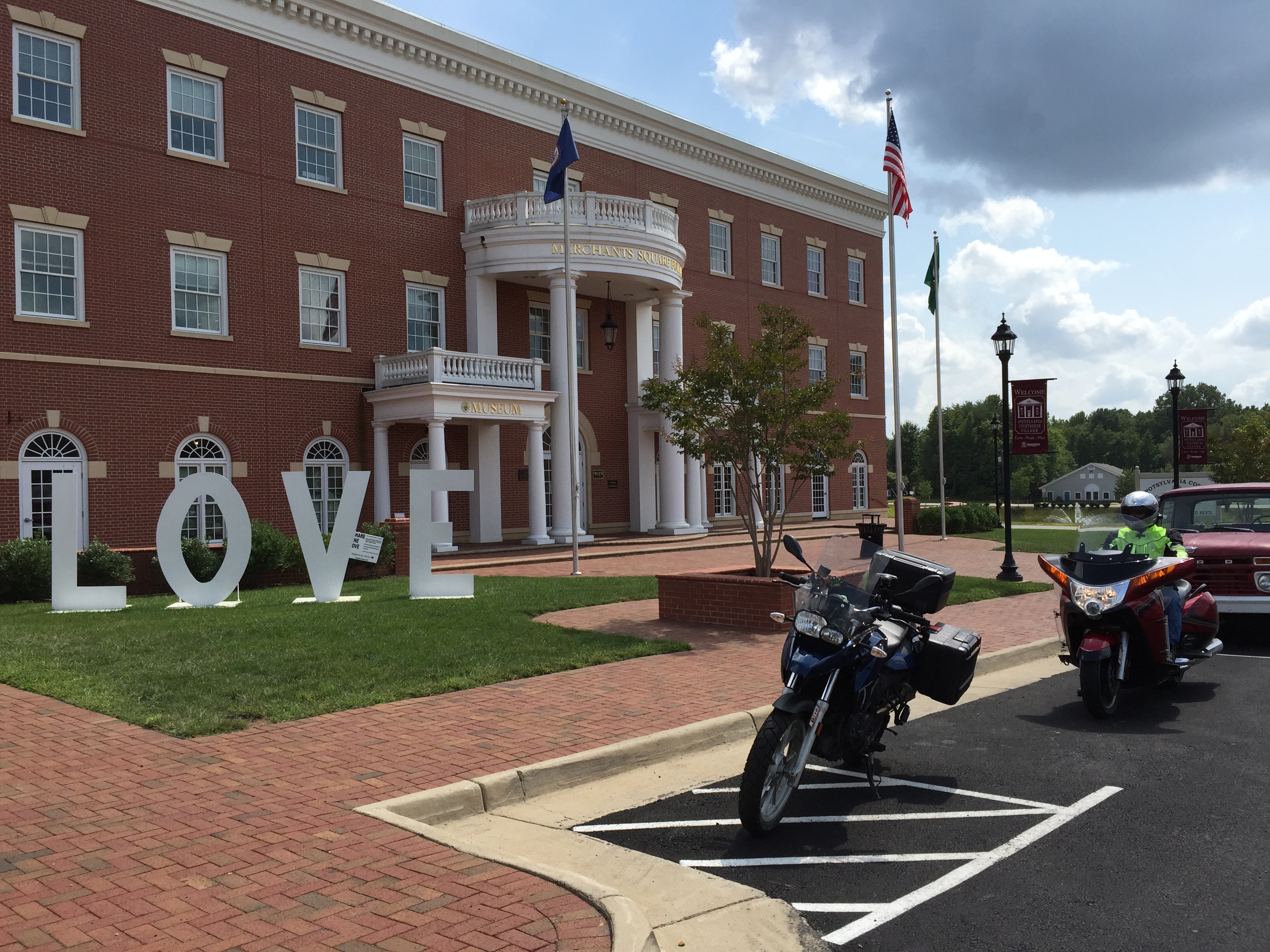
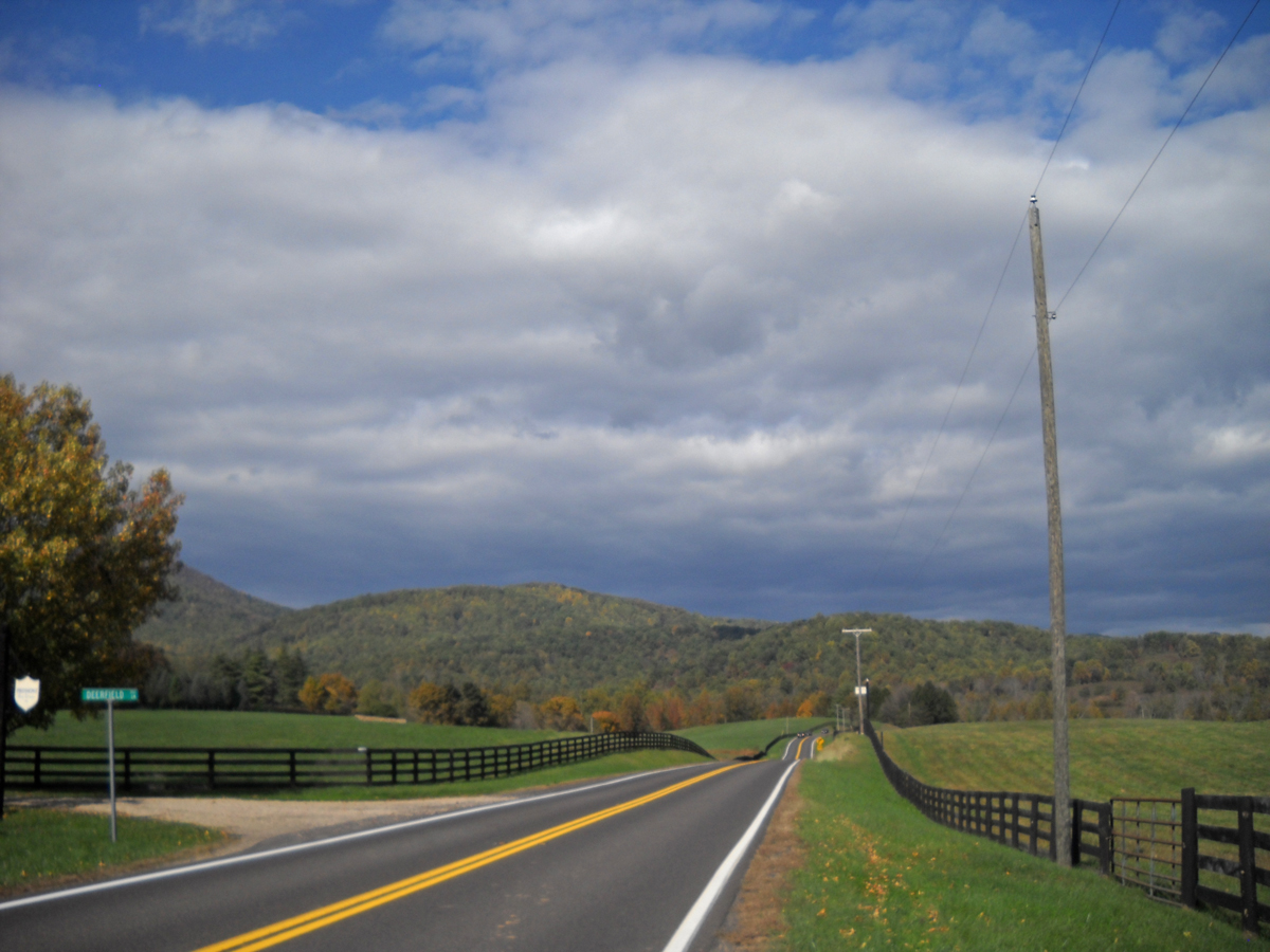
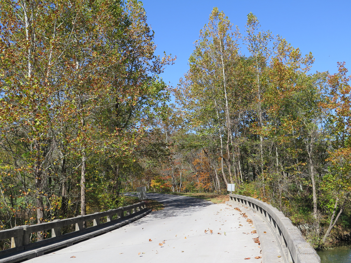
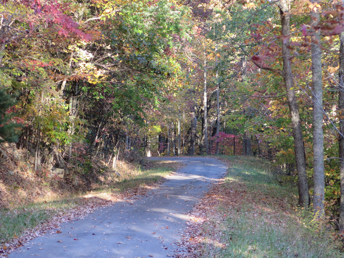
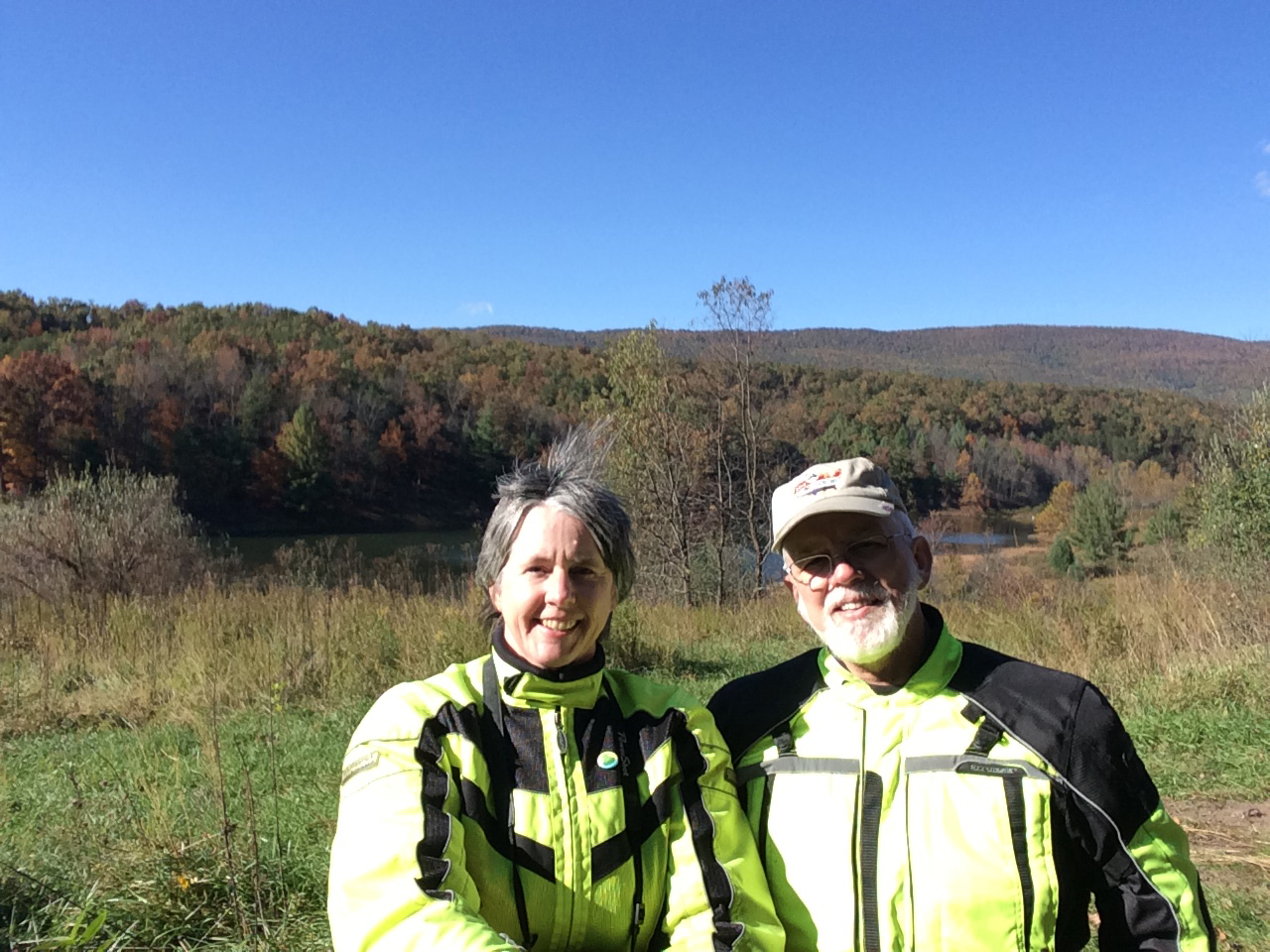
I’ll tell y’all more about the ride in future posts. It was awesome. Here are a few teaser pics for you.

IMG_0032
Bridge across the Cowpasture River


IMG_0038
Lovely River Road


IMG_0049
Robinson Tract Road


IMG_4405
Somewhere in Virginia

And y’all wonder why I don’t post more pics of myself.

A Bit More on VA’s Lesser-traveled Regions

A few days ago, I described my most-recent jaunt onto Virginia’s Middle Peninsula and Northern Neck. I shared pics of the LOVE works I captured, too, which was the whole reason for my journey.

Here’s the map again…

The Route Plan
The Route Plan

I’d fully intended to follow up later that day, or at least the next day, with the rest of the pictures. Alas, three days have already passed since that post. And tomorrow’s Friday. Who knows what new adventure awaits?

I thoroughly enjoyed my ride last Saturday. Even if the terrain was kinda flat and the roads were all relatively straight, it was pretty. And different. Would I rather ride in the mountains? Absolutely. But I still had a grand time.

It was different. And I saw lots of interesting stuff.

Hay Turkey
Hay Turkey (that’s Tappahannock fog behind the turkey)

One thing I’ve come to realize about the LOVE quest of mine is that it’s taken and will continue to take me to parts of this grand state I probably wouldn’t have seen otherwise.

Temps were in the mid 60s (around 18 C) when I left the house. It got a bit cool in the thick fog I encountered, especially since I was wearing my mesh jacket, but I knew it would warm up eventually. A few hours later, temps topped out in the mid-80s (around 29 C), which was pleasant and even a tad too warm when moving at a slower pace, or not moving at all.

Because the terrain is pretty flat, and there’re a lot of open fields (farmland), it wasn’t always easy to find shade. I didn’t mind too much that day, but I wouldn’t want to be riding out there when it’s hotter.

Anyway, I was pretty sure I’d be hitting fog again around Tappahannock, since it’s on the water. You can even see the fog bank behind the hay turkey. It was quite foggy in Tappahannock, but cleared up soon after I got through town.

Looking back toward Tappahannock

After that, I saw lots of blue sky and big, puffy, white clouds. My favorite.

IMG_4079
Potty Stop

I stopped at Horne’s — at the intersection of US-301 and US-17 — for a rest break. For years, that place had served as a meeting spot/halfway point between Baltimore, where I used to live, and Chesapeake, VA, where my brother lives.

From there, it was on to Urbanna. Since I was going to be in the neighborhood anyway, I figured I’d stop to see the Muffler Man (a new Mark Cline model) and Cowtopia Mini-golf  place I’d been meaning to visit.

IMG_4091
Muffler Man at Beth Page Camp Resort


IMG_4089
Cowtopia Golf


IMG_4088
Very cool place for a game of putt-putt.


IMG_4081
The Guardian

I actually like the old, retro Muffler Men better than the newer version, but still think that guy was cool.

One thing I noticed on both peninsulas was the sheer number of old barns, outbuildings, houses, and even commercial properties that were abandoned and/or had fallen into a state of disrepair. Some were pretty, some not.

I saw this farm with it’s field of yellowing soybeans shortly after leaving Urbanna.

IMG_0236
Old Farmstead


IMG_0235
Grassy Driveway

My guess is that there’s just not much commercial enterprise in the area any more, besides farming and fishing/crabbing, so a lot of people have fallen on hard times.

IMG_4093
Rare shady spot at a Deltaville marina.


IMG_4103
I think this was a restaurant advertisement.

From there, I headed west and north to reach the Northern Neck.

IMG_4099
Looking back after crossing the Rappahannock River from the Middle Peninsula to the Northern Neck.

The town of Kilmarnock was quaint and touristy, which meant it was full of people, so I didn’t stop. Not far past that town I HAD to stop at this winery which had a pair of giant corkscrews flanking its driveway.

It’s always fun when I stumble across big stuff/roadside oddities completely by chance.

IMG_4100
One of a pair of giant corkscrews.

After that brief pause, I motored on to capture the LOVE in Reedville and Heathville. The Northern Neck Farm Museum was definitely looking like Fall. That’s the location of the corn-on-the-cob LOVE sign.

IMG_0249
Northern Neck Farm Museum in Heathville

I passed through the town of Montross as I continued west, and was delighted to see some eye-catching wall murals. Apparently the murals are part of an effort to revitalize the downtown/village.

IMG_0262
The first mural that caught my eye.


IMG_0263
Another piece of that first mural.


IMG_0255
The building across the street from where I’d stopped.


IMG_0257
Closer look at the mural on Courthouse Corner.

Doesn’t it look like that bird is landing on the tree?

IMG_0259
The bird is a nice touch, eh?


IMG_0267
Old Coca-Cola Bottling Plant


IMG_0268
The murals were all nicely done.


IMG_0271
This piece was a bit understated.

I had to hang an abrupt U-turn after passing that last piece, which had some locals staring. Really. LOL.

From there, it was off through more fields of beans, corn, and whatnot. I’d promised Hubby I’d be home in time for dinner, and was starting to get a bit anxious. As result, I didn’t linger as long in Colonial Beach as I would’ve liked to.

IMG_0281
The Pier


IMG_0278
Looking across the Potomac toward Maryland on the opposite shore.

The Potomac River is actually part of Maryland. So, technically, once you step into the water, you’re in a different state.

IMG_0283
Birds on Pilings (look at the variety!)

I can’t believe this picturesque little place is only about an hour’s drive from my house and that was my first visit!

IMG_0273
Colonial Beach

As Arnold Schwarzenegger would say, “I’ll be back.”

MidPen and NoNeck LOVE

IMG_4073
Fredericksburg

Back in mid-February, when I came up with what seemed like a good idea for my own little LOVE scavenger hunt — seeing all of the LOVEworks in Virginia — it seemed like an achievable goal. There were only 42 sculptures AND I’d already seen three.

That was seven months ago. And you know what? Virginia is a big-ass state!!!

It feels like I’ve seen quite a few since then. As of Friday night, I’d seen 22. I’d actually visited 24 sites, but two of the works were missing. I figured that was decent. I’d seen more than half.

Except I hadn’t. (Two were missing when I got there… Gate City and Abingdon.)

A quick check of the LOVEworks web site revealed that there are now 45 sculptures/displays around the state. (One has been removed from the list [Gate City], three new ones have been added, and the one in Abingdon has been replaced.)

The end of the year is getting closer every day. So, when Hubby told me he had chores again, I decided to do a LOVE ride.

About a month ago, I’d plotted a route south and east to the tips of Virginia’s Northern Neck and Middle Peninsula. I’m not sure if anyone actually refers to the Middle Peninsula as “MidPen” and/or the Northern Neck as “NoNeck.” But I figured since Northern Virginia is typically referred to as NoVA, the same logic should apply. Plus, it’s just fun to say I went out to find some NoNeck LOVE.

If you’re a map person like me and want to understand why those regions are named as they are, CLICK HERE.

It’s a good thing I decided to check LOVEworks site on Friday. I would have gone right past one of the new displays!

Speaking of checking things… I should’ve checked the weather. Then this wouldn’t have surprised me nearly as much just 15-20 minutes or so from my house!

Very Thick Fog
Very Thick Fog

The fog was so thick, there was moisture running down my faceshield! Um, what?

I shouldn’t have been surprised. The ground and surface waters are still warm, but our nights have been getting cooler and cooler. So this happens.

The good news is, it burns off. The bad news, it’s usually worse near the water. And I was heading onto two peninsulas!

Have no fear, I forged on. I did have a serious mission, after all.

And 20 minutes later, it looked like this.

LOVEwork at Fredericksburg I-95 Welcome Center
LOVEwork #1 at Fredericksburg I-95 Welcome Center

I did check the weather while stopped at the Welcome Center. I’d planned on doing the loop part in a clockwise direction, with Colonial Beach as my next stop. But since Colonial Beach is on the water, as most beaches are, I wisely decided to travel counter-clockwise instead.

The Route Plan
The Route Plan

I still encountered some fog in and around Tappahannock, which is also on the water, but it was spotty, and I managed to avoid it for the rest of the day.

Better yet all five of the other LOVEworks I visited were still in place, just as I’d hoped they would be. As was the bonus location, which was supposed to have been last, but actually got visited first.

Here are the LOVEworks, in order of capture.

IMG_0237_Saluda
LOVEwork #2 in Saluda


IMG_0239_Deltaville
LOVEwork #3 in Deltaville


IMG_0246_Reedville
LOVEwork #4 in Reedville


IMG_0251_Heathsville
LOVEwork #5 in Heathville


IMG_0276
LOVEwork #6 in Colonial Beach

The one in Colonial Beach is my new favorite.

That little trip was 304 miles, and took me about nine hours (I stopped for pics a lot).

Look at that route in relation to the rest of the state.

Big-ass Virginia
Big-ass Virginia vs Small Portion Covered During Nine-hour Ride

I have now visited about two-thirds of the 45 LOVEworks locations. Only 15 more to go. But they’re scattered. I have my work cut out for me.

If you want to see the actual Spotwalla route, CLICK HERE.

Oh, and I almost forgot the bonus location…

Urbanna Muffler Man
Urbanna Muffler Man

It was a fun ride. More show and tell in my next post.

Signs of Fall

A lovely postcard arrived in the mail yesterday. My buddy, Ry Austin (TwoWheelstoThere), had visited “not-even-a-grocery-store” Pioche, Nevada and thought of me. He said, “Believe it or not, this was the best postcard in town.” Ry, I’m surprised the town even had a postcard! Thanks for thinking of me. 🙂

Ry also said, “Get it while you can, Kathy, Old Man Winter is on his way.”

He’s right. Slowly, but surely, signs of Fall are starting to appear.

Mums!
Mums!

Schools are back in session. Football season has begun. Stores are selling Mums. Pumpkin-flavored everything is being sold everywhere. The nights are getting cooler. Some leaves are starting to change. The cornfields are browning-up.

I love Fall. Cool temps are always welcome after Summer’s heat and humidity. The days are still on the warm side, but we’ve had a couple cooler ones.

Hubby has been working on a house project, which he’s been meaning to do since we moved into this house. Since he’s busy, I’m free to amble about on my own.

I could probably do some stuff around the house, too, but I’d rather play with my toy.

Last Saturday, I drove to Baltimore — it was pouring rain most of the day — for my friend Bill’s a surprise 50th birthday party. The party was lovely. I got to visit with old friends AND I brought some steamed crabs home for dinner. YUM.

Maryland Steamed Crabs

Good crabs are hard to find in this part of Virginia. They’re expensive as all get-out, too — $67/dozen — so we don’t get them often.

On Sunday, while Hubby worked on his project, I moseyed around southeastern Fauquier County on my motorcycle.

IMG_0121
The flatlands of the eastern Piedmont.

It was a pretty day.

IMG_0154
Yellowing Fields

I finally managed to visit the local-ish winery with the LOVEwork that’s only open on weekends, too.

IMG_0180
Morais Winery LOVEwork


IMG_0183
A Load of LOVE

After that, I went to a local farm store for some corn on the cob. Gotta get THAT while the getting is good, too. The corn is just about done for the season.

IMG_0170
Field of Zinnia’s at Messick’s Farm Store


IMG_0168
Messick’s Goats

Temps today are supposed to top out in the mid-80s. Hubby needs to finish his project. I could find some chores to do, but, like Ry said, I gotta get my riding in while I can. 🙂

Fringes of the ‘hood

A week ago was the three-day Labor Day weekend here in the US.

Labor Day, the first Monday in September, is a creation of the labor movement and is dedicated to the social and economic achievements of American workers. It constitutes a yearly national tribute to the contributions workers have made to the strength, prosperity, and well-being of our country.

route
Overview Map

If you’re curious about the history of that holiday, which has been officially observed since 1894, go to this page (the source of my quote).

Three-day weekends are always nice. Saturday, Hubby and I went for a nice little ride on our bikes (Loving Virginia’s Diversity). On Sunday, I drove my car to Roanoke for a “package” pick-up. By Monday, I was a bit tired. It was hot and humid, too. Hubby was working on a home project, so I decided to take a quick little ride close to home.

The route wasn’t super-exciting, I just wanted y’all to be able to see just how close to home I stayed. So, once you see the pics, you’ll have a better appreciation for my neighborhood.

The previous weekend, when Hubby and I were riding on the Snickersville Turnpike, something had caught my eye.  That something was a largish patch of sunflowers. I chose not to stop for two reasons: there were already cars pulled off the road with people gawking and Hubby doesn’t always enjoy my photo stops. But I thought about that dang patch of flowers all week. So that’s where I headed on Monday.

Rather than taking a direct or known route — what fun would THAT be? — I decided to explore VA-629 / Bull Run Mountain Road, a path I’d never traveled and had been curious about. I knew where it went, but had wondered whether or not it was gravel. I figured it was probably gravel, based on what I knew of the area. But, knowing it led from Prince William County (twelfth richest county in the US in terms of median household income) into Loudoun County (the #1 richest county in the US — see stats here), I had hopes that it might be paved.

The road wasn’t paved, but it was reasonably well-maintained.

IMG_3914
Looking north on Bull Run Mountain Road


IMG_3915
Selfie, looking south on Bull Run Mountain Road.

On one hand, I was surprised at the road surface. One would think a road leading to high-value real estate would be paved for the convenience of the obviously wealthy landowners. (I saw few houses along the road, most of which looked exactly like the bits captured in the two photos shared above, but I saw quite a few ornate, barred entrances.) Then again, a paved road would be more-convenient for outsiders, too, and might attract gawkers. It would certainly mean more traffic. So I bet it will always be a gravel road, which sort of lends to the remote feel of the place, too.

I was sort of amazed just how remote it felt. I could’ve been in a national forest. If you follow this link to the Google map and zoom out a bit, you’ll see just how close VA-629 / Bull Run Mountain Road is to Northern Virginia (NoVA) and DC. You might be amazed, too, especially if you switch to satellite or Earth view.

As interesting as the road was, it was hot. So, curiosity satisfied, when I reached the paved VA-776 / Landmark School Road, I decided to take that route and pick up the pace.

IMG_0065
VA-776 / Landmark School Road


IMG_0064
Red Barn along VA-776 / Landmark School Road

I absolutely love the stone fences that are far more common than you’d expect in this area. A lovely reminder of old times. I’m never sure if they were meant to serve as fences, keeping things in or out, or simply to mark land boundaries. One day I might actually look that up.

IMG_0069
Turnpike Sign

I couldn’t remember exactly where I’d seen the flowers, but thought it hadn’t been long after we’d gotten on the turnpike near Aldie.

As it turns out, I was right. I came across the flower patch even sooner than I’d expected. But it was kind of disappointing. There were fewer flowers than I remembered (I’d only glanced at them previously as we’d zipped past) and they were rather wilted.

IMG_0071
Sunflowers, well past their peak.

It was a pretty spot nonetheless.

IMG_3919
Snickersville Turnpike


IMG_0083
Close look at the stone wall/fence.


IMG_3924
Stone wall/fence.


IMG_0076
Nice spot for a break.


IMG_0066
Lovely view.

I know I’ve said this before… I wish we’d moved to Virginia YEARS ago. It’s such a great place for motorcyclists.

IMG_0053
This picturesque barn is mere minutes from Warrenton (#3 on my Spotwalla map) on VA-672/Blackwell Road.

This barn is a bit further from town, but not far by any stretch of the imagination.

IMG_0062
Yellow barn on Blantyre Road (#8 on map).

I passed the yellow barn and had to turn around to go back for a picture. But I got distracted at my chosen turnaround spot.

IMG_0055
Heflin’s Store (#6 on the Spotwalla map)


IMG_0057
I’ve stopped here before, but think it’s a lovely spot.


IMG_0085
Random barn capture.

I didn’t mark the location of that white barn because it’s in Loudoun County, but it’s pretty and deserved to be captured.

IMG_0086
White Barn at Buckland Farm (#32 on Spotwalla map)

Buckland Farm is just inside the Fauquier County boundary on US-29. At the edge of the property, closer to the road, is the Buckland Farm Market.

IMG_3929
Looking like Fall!

I’ve shared pics from there before, too. The market sells plants (it’s where I bought my tomato plants), produce, meats, snack items, home decor, baked goods, baking products, etc. It’s a cool place.

IMG_3927
Tractor at Buckland Farm

They have goats and smalls equine critters, too.

Temps were close to 90 by then, and I was really hot. So I bought some corn-on-the-cob and locally made sausage for dinner. I got a drink, too, and about a half pound of bulk dehydrated, colored marshmallows (like the charms in Lucky Charms cereal). 🙂

That was my day. It wasn’t super-exciting, and I didn’t go far, but it was nice.

I hope you enjoyed traveling along. My interactive Spotwalla route map is here if you’re interested.

Loving Virginia’s Diversity

Virginia is a large and diverse state. The longer we live here and the more we explore, the more I appreciate that diversity.

Geographically speaking, Virginia has five regions. I live in the Virginia Piedmont.

The image above comes from a sorta simplistic educational blog that has a concise breakdown/explanation of those regions.

Culturally speaking, according to this web page, which belongs to VirginiaPlaces.org, “there are multiple interpretations of distinctive cultural regions of Virginia, with inconsistent terms and boundaries.”

The map on the Piedmont section of the VirginiaPlaces.org site, shown below, breaks Virginia down into only three regions. (I like this map because it also includes the counties.)

I’m telling you all of this because I’d hoped to find a simple explanation/definition of the geographic line separating the Piedmont from the Coastal Plain. The coastal region just has a different feel to it. The land is flatter. The trees–more evergreen trees than deciduous hardwoods– are taller and seem to grow closer together.

I’ve been aware of the different feel for years. My brother and his family live in the Hampton Roads region–Suffolk County, I believe–at the lower right-hand corner of the map. Always, when driving from Central Maryland for visits, I could always tell that we were getting closer just by the look and feel of the landscape.

Hubby and I went for a ride on Saturday that was out of character for us. We headed south and east, away from the mountains, to the town of Spotsylvania, which is just east of central Spotsylvania County. Our route took us through the center of Culpeper County and then east and south. We reached Spotsylvania County west of Fredericksburg (sorry if all of these directions are confusing), and that’s about when things started to change.

We were on VA-3 / Germanna Highway for only a few miles. We left Va-3 on VA-647/Revercomb Road, then quickly turned onto VA-610/Eley’s Ford Road. That’s the road that delivered us into Spotsylvania County. It was much more heavily forested than I expected, and although the road was on the flat side, there were a goodly amount of twists and turns, which made for a very pleasant ride.

Overview Map of Our Spotsylvania Ride

I didn’t have my tracker app running, so there’s no way for you to zoom in for detail. If you want or need a more-detailed look, let me know.

I’d planned this shortish route because Hubby had gone for a long solo ride on Friday AND was coming down with a cold. I figured I’d take advantage of the rare occasion that he didn’t really care how fun the roads were and head to this area that I knew would be flatter and less interesting to capture this one elusive LOVEwork I’d missed on a couple of previous trips.

Spotsylvania LOVE
Spotsylvania LOVE

The sign itself was sort of plain. At least the weather was nice.

A picture-perfect day.

We both agreed that the ride to Spotsylvania was fabulous, but the roads were all suprisingly pleasant. Spotsylvania County may be in the Piedmont region, but there are definitely portions which feel like the Coastal Plain.

From there, we continued south/southwest across Lake Anna to the town of Mineral (very close to the epicenter of the big 2011 earthquake) and then headed west and north to make our way back home.

As we got deeper into Louisa County on the southwestern side of Lake Anna, which is quite a large and busy lake, it started to feel like the Piedmont again. The town of Gordonsville, which is in Orange County, definitely has the look and attitude of a population center in the Piedmont.

From Gordonsville, we hopped onto VA-231/Blue Ridge Turnpike, which carried us north and through the foothills, roughly paralleling the Blue Ridge Mountains, thus the road is aptly named. That 41-mile stretch of road — the Blue Ridge Turnpike — never disappoints, and is another of my favorite rides in Virginia. One day, I’m going to have to make a list.

Saturday was the first time I’d ridden the entire length of VA-231 from Gordonsville to Sperryville. I’m sorry I didn’t take more pics to share with you all. You’ll just have to trust me when I say that, if you’re in the area, it’s a road worth riding as it winds gently up and over hills, through vast tracts of farmland in the foothills of Blue Ridge, which makes for some amazing scenery.

An older picture captured along VA-231 / Blue Ridge Turnpike

All in all, it was a LOVEly day with Hubby.

Spotsylvania LOVEwork